


Campofiorito
Campofiorito sits at 660 metres above sea level in the province of Palermo, a small agricultural commune of 1,321 inhabitants whose name translates literally as “field of flowers.” Founded as a feudal settlement in the early eighteenth century, the village occupies a limestone ridge in the upper Belìce valley, surrounded by wheat fields and grazing […]
Discover Campofiorito
Campofiorito sits at 660 metres above sea level in the province of Palermo, a small agricultural commune of 1,321 inhabitants whose name translates literally as “field of flowers.” Founded as a feudal settlement in the early eighteenth century, the village occupies a limestone ridge in the upper Belìce valley, surrounded by wheat fields and grazing land that still define its economy. Understanding what to see in Campofiorito requires attention to scale — this is a place where a single church façade or a stretch of dry-stone wall carries the weight of three centuries of rural Sicilian life.
History of Campofiorito
The territory around Campofiorito was inhabited well before the village itself existed. Archaeological traces in the surrounding hills point to activity during the Greek and Roman periods, and Arab-Norman place names survive in local topography. But the settlement as it stands today dates to the early 1700s, when the feudal lord of the area — the Ferreri family — obtained a licentia populandi, a royal licence permitting the founding of a new population centre on their lands. This was a common mechanism across inland Sicily during the seventeenth and eighteenth centuries, as aristocratic families sought to increase agricultural output and collect rents from tenant farmers.
The name “Campofiorito” appears to be a deliberate choice by the founders, evoking the wildflower meadows that cover the hillsides in spring. The village grew slowly through the 1700s and 1800s, its population sustained by cereal cultivation, sheep farming, and the production of olive oil. Like many inland Sicilian towns, Campofiorito experienced severe depopulation during the great waves of emigration to the Americas and northern Europe in the late nineteenth and early twentieth centuries — a demographic contraction from which it has never fully recovered.
The 1968 Belìce earthquake, which devastated communities across western Sicily, also affected Campofiorito. Several buildings sustained damage, and the event left a visible mark on the village’s built fabric, with some structures rebuilt in a utilitarian style that contrasts sharply with the older stonework. The commune today functions primarily as an agricultural centre, its rhythms dictated by the planting and harvesting calendar rather than by tourism.
What to see in Campofiorito: 5 key sites
1. Chiesa Madre (Mother Church)
The principal church of Campofiorito dates to the eighteenth century and anchors the main piazza. Its façade, built from local limestone, follows a restrained Baroque vocabulary typical of small feudal towns in the Palermo hinterland. Inside, the single nave holds a collection of painted wooden statues and devotional artworks accumulated over three centuries of parish life.
2. Piazza Centrale and the historic core
The central square — compact, functional, bordered by two-storey houses with iron balconies — is the social axis of the village. The street grid radiating from it preserves the original eighteenth-century layout, with narrow lanes designed to channel wind and provide shade. Stone lintels and carved doorways on older houses indicate the relative prosperity of early settler families.
3. Rural landscape and dry-stone walls
The agricultural territory surrounding Campofiorito is cross-hatched with muri a secco — dry-stone walls built without mortar to mark field boundaries and terrace slopes. These structures, constructed from locally quarried limestone, represent a building tradition common across the Mediterranean. Walking the unpaved tracks outside the village reveals a landscape of wheat, sulla clover, and scattered olive groves.
4. Fontane storiche (Historical fountains)
Several stone drinking fountains survive in and around the village, built to serve both the population and their livestock. These utilitarian structures, some bearing inscribed dates from the 1800s, reflect the importance of water management in a settlement located on a limestone ridge where surface water is scarce and seasonal.
5. Panoramic viewpoints over the Belìce valley
The village’s elevation of 660 metres provides clear sightlines across the upper Belìce river basin. From the southern edge of town, the view extends over a patchwork of cultivated fields toward the Sicani mountains. On days of good visibility, the layered ridgelines illustrate the geological folding that defines interior western Sicily.
Local food and typical products
Campofiorito’s cuisine belongs firmly to the tradition of inland Sicilian peasant cooking, built around hard durum wheat, sheep’s milk cheese, and seasonal vegetables. Bread — baked in large round loaves using locally milled semolina — remains central to the table. Typical preparations include pasta con le sarde adapted with wild fennel gathered from surrounding fields, and maccu di fave, a thick soup of dried broad beans. Ricotta, both fresh and salted, comes from sheep grazed on the hillsides, and olive oil from small-scale groves around the village supplies household kitchens.
The commune falls within the broader production zones for several Sicilian regional specialities, including Sicilian extra-virgin olive oil and durum wheat products. Dining options within the village are limited — a small trattoria or bar may offer home-cooked meals, but visitors should not expect a restaurant scene. Instead, the local alimentari and weekly markets provide the raw ingredients that define this cooking: cured olives, dried oregano, caciocavallo cheese, and seasonal fruit.
Best time to visit Campofiorito
Spring — April through early June — is the most rewarding season. The surrounding fields live up to the village’s name, covered in wildflowers, and temperatures at 660 metres remain comfortable, typically between 15°C and 25°C. This is also the period of several local religious celebrations, including processions and feast days tied to the agricultural calendar. Summer brings intense heat to inland Sicily, though Campofiorito’s altitude moderates the worst of it compared to the coastal lowlands. Autumn offers mild weather and the olive harvest, while winter can be cold and damp, with occasional frost.
Campofiorito has no dedicated tourist infrastructure — no hotels or formal visitor centres. Those interested in visiting should plan it as a day trip from Palermo or as part of a wider exploration of the inland Sicilian countryside. A car is essential. Allow two to three hours to walk the village and its immediate surroundings.
How to get to Campofiorito
Campofiorito lies approximately 60 kilometres south of Palermo. By car, take the SS624 (Palermo–Sciacca road) and follow signs toward the village; the drive takes roughly one hour depending on road conditions. The nearest railway station is at Corleone, about 15 kilometres to the northwest, served by infrequent regional bus connections rather than direct rail. Palermo Falcone-Borsellino Airport is the closest major airport, roughly 75 kilometres and ninety minutes by road. There is no regular public transport service directly to Campofiorito, making a rental car the only practical option for visitors arriving from outside the province.
More villages to discover in Sicilia
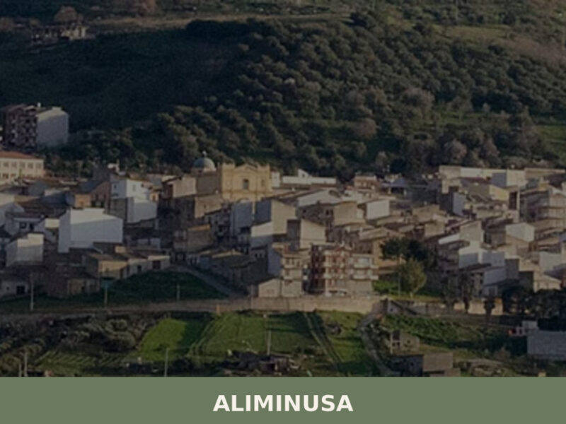
The inland territories of the Palermo province contain dozens of small communes that share Campofiorito’s agricultural character and feudal-era origins. To the northeast, Aliminusa is another compact hill settlement with a population in the low hundreds, set among olive groves and cereal fields in the Madonie foothills. Its built fabric and demographic trajectory echo those of Campofiorito, and the two villages together illustrate the pattern of eighteenth-century rural colonisation that shaped this part of Sicily.
Further into the Madonie range, Bompietro sits at a similar altitude and offers a comparable window into mountain agriculture and the slow contraction of inland communities. Visiting these villages in sequence — Campofiorito, Aliminusa, Bompietro — provides a cross-section of the province’s interior landscape, from the Belìce valley through the transitional hills to the Madonie massif, each commune adapted to its specific terrain and microclimate.
Frequently asked questions about Campofiorito
What is the best time to visit Campofiorito?
The ideal time to visit Campofiorito is during spring, from April to early June. During this period, the surrounding fields are blanketed with wildflowers, living up to the village's name, and temperatures are comfortably between 15°C and 25°C. Spring also hosts several local religious celebrations and feast days tied to the agricultural calendar. While the patron saint is San Giuseppe, specific feast dates for the village are not provided. Summer offers warm weather moderated by the village's altitude, and autumn brings mild temperatures and the olive harvest season.
What to see in Campofiorito? Main monuments and landmarks
Campofiorito, a village focused on rural life, offers several evocative sites. The 18th-century Chiesa Madre, located in the main piazza, is the principal church and a key landmark. Visitors can explore the Piazza Centrale and the historic core, which retain their original 18th-century layout with narrow lanes and historic houses. The surrounding rural landscape is noteworthy for its ancient dry-stone walls (muri a secco) and historical fountains (fontane storiche), essential for past water management. Finally, don't miss the panoramic viewpoints from the village's southern edge, offering expansive vistas over the Belìce valley and the Sicani mountains.
What are the main natural or scenic attractions of Campofiorito?
The primary natural attractions of Campofiorito are its stunning rural landscape and the expansive views it offers. Perched at 660 metres, the village is surrounded by a patchwork of wheat fields, grazing land, and olive groves, crisscrossed by ancient dry-stone walls. In spring, these hillsides are renowned for their vibrant wildflower meadows, living up to the village's name. Specific panoramic viewpoints from the southern edge of town provide breathtaking vistas across the upper Belìce river basin towards the Sicani mountains, perfect for appreciating the geological beauty of inland Sicily.
Where to take the best photos in Campofiorito?
For captivating photographs in Campofiorito, focus on the panoramic viewpoints located at the southern edge of the village, offering sweeping vistas of the Belìce valley and the Sicani mountains. The historic core, with its compact Piazza Centrale, narrow lanes, and traditional houses featuring iron balconies and stone lintels, provides charming architectural details. Don't miss capturing the rural landscape surrounding the village, particularly in spring when wildflowers bloom among the wheat fields and ancient dry-stone walls, creating picturesque scenes.
Are there museums, churches or historic buildings to visit in Campofiorito?
Yes, the main historic building to visit is the Chiesa Madre (Mother Church), dating back to the 18th century. Located in the central piazza, its façade is built from local limestone. Inside, visitors can observe a collection of painted wooden statues and devotional artworks accumulated over centuries. While specific visiting hours are not provided, the church is typically open for services or by arrangement. The village's historic core itself, with its well-preserved 18th-century layout, narrow lanes, and traditional houses, offers a glimpse into rural Sicilian architecture.
What can you do in Campofiorito? Activities and experiences
In Campofiorito, the primary activities revolve around experiencing its authentic rural Sicilian character. Visitors can enjoy leisurely walks through the historic village, exploring its 18th-century layout, and then venture onto the unpaved tracks in the surrounding countryside to admire the dry-stone walls, wheat fields, and wildflower meadows, especially in spring. A visit allows for appreciating the local food culture, sampling traditional peasant dishes like maccu di fave or local cheeses and olive oil from the alimentari, offering a taste of genuine inland Sicilian life.
Who is Campofiorito suitable for? Families, couples, hikers, solo travelers?
Campofiorito is ideally suited for independent travelers, cultural explorers, and those seeking an authentic, off-the-beaten-path experience of rural Sicily. It appeals to visitors interested in history, traditional agricultural landscapes, and a slower pace of life, rather than typical tourist attractions. Hikers and nature lovers will appreciate the surrounding countryside and panoramic views, especially in spring. Given the limited tourist infrastructure, it's perfect for couples or solo travelers who value quiet immersion and are comfortable exploring with their own vehicle, perhaps as a day trip from Palermo.
What to eat in Campofiorito? Local products and specialties
Campofiorito's cuisine reflects the rich tradition of inland Sicilian peasant cooking. Specialties include hearty dishes made with local durum wheat, such as traditional large round loaves of bread baked with semolina. Visitors can sample pasta con le sarde, often adapted with wild fennel gathered from the fields, or maccu di fave, a comforting thick soup made from dried broad beans. Local sheep's milk produces fresh and salted ricotta, and olive oil from village groves is a staple. You'll also find local cured olives, dried oregano, and caciocavallo cheese, available at local alimentari and markets.
Nearby Villages near Campofiorito
In Sicily More villages to discover

Licata
34,000 residents, Greek foundations and a coastline of alternating cliffs and sandy coves make Licata one of the most layered towns on Sicily's southern shore.
Gratteri
Gratteri, a medieval village in the province of Palermo: history, mother church and stone streets. Discover how to visit it and how to get there from the Madonie.
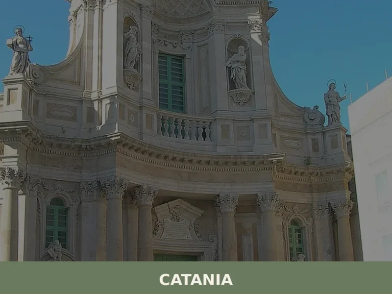
Catania
Discover Catania, a captivating village in Sicily, Italy. Explore its rich history, stunning architecture, local culture, and hidden gems waiting to be found.
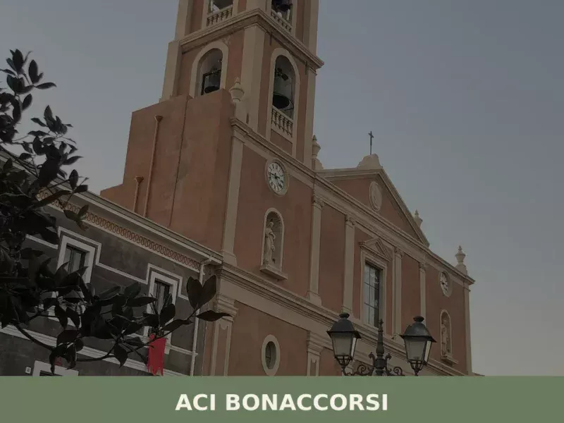
Aci Bonaccorsi
Discover what to see in Aci Bonaccorsi: Etna views, volcanic architecture, IGP citrus groves and Italy's 2022 most virtuous municipality on the Ionian slope.
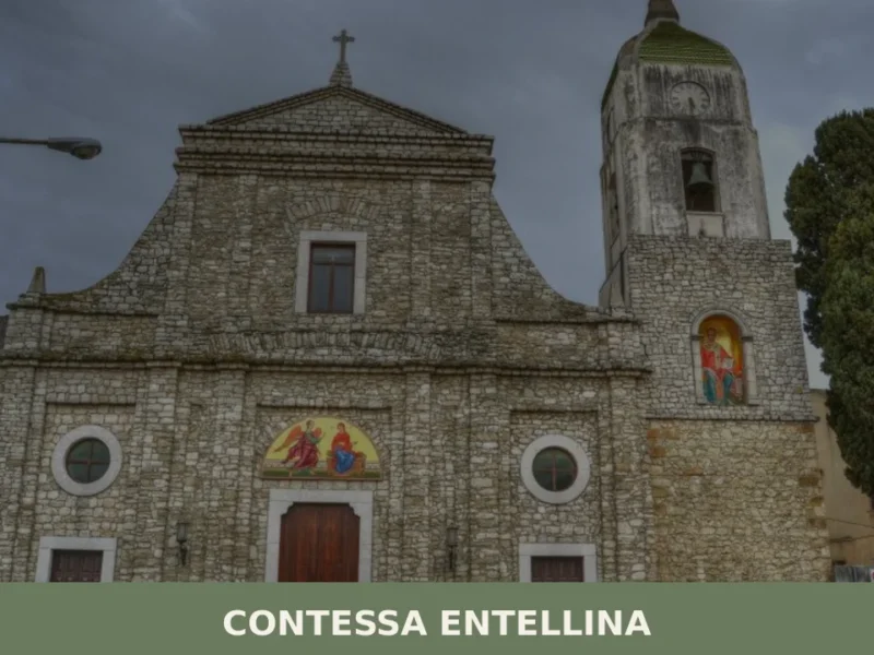
Contessa Entellina
Discover what to see in Contessa Entellina: Arbëreshë heritage, Rocca d'Entella ruins, Byzantine-rite churches, local food, and practical travel tips.
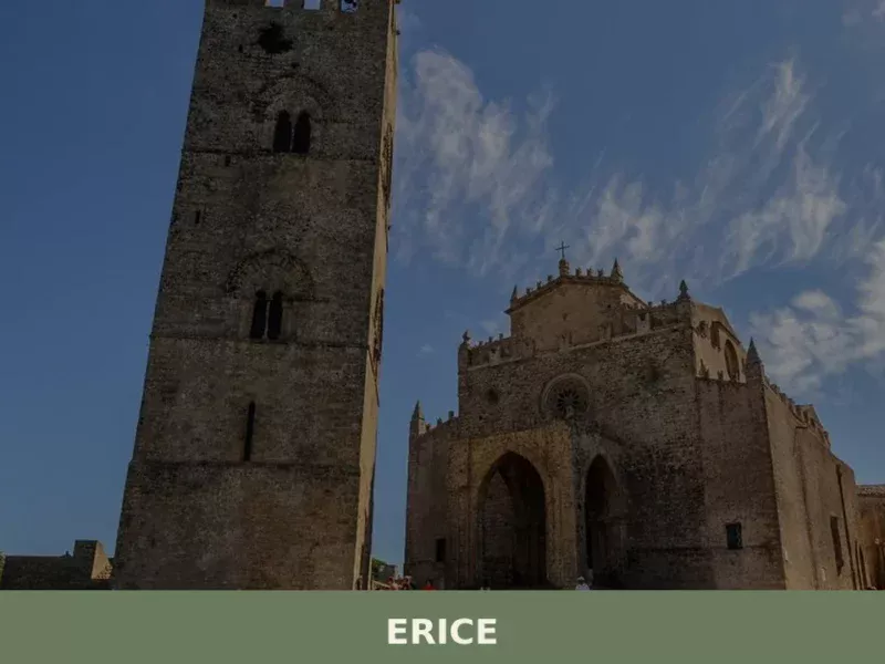
Erice
what to see in erice? Discover Erice, Italy, a village 751 m high. Explore ancient fortifications and the Norman Castle of Venus. Read our guide for top attractions.
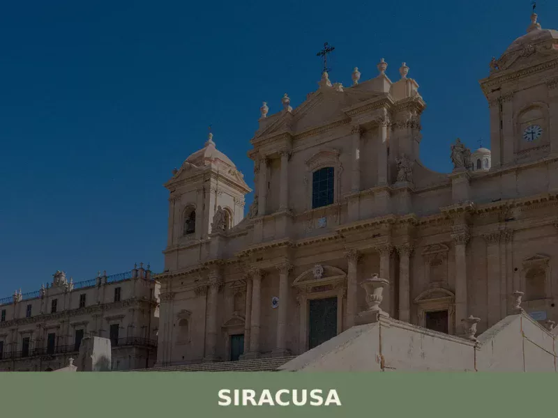
Siracusa
What to see in Siracusa: UNESCO city of 118,644 people. Explore the Greek Theatre, Ortigia, and the Catacombs of San Giovanni. Plan your visit with our complete guide.
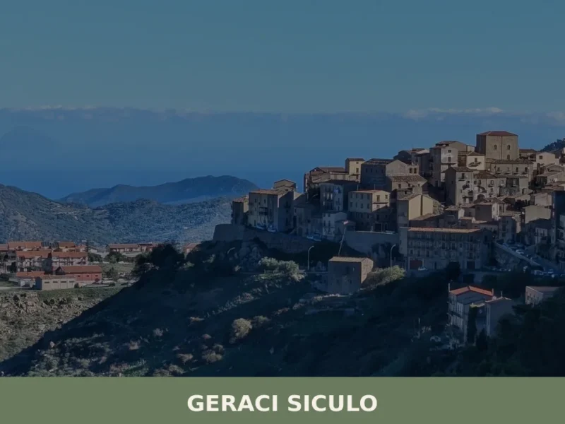
Geraci Siculo
What to see in Geraci Siculo, Italy? Discover this mountain village at 1077 m, an I Borghi più belli d'Italia member, and its San Bartolomeo feast. Explore its historic core and Madonie views.

Acate
Discover what to see in Acate, the former Biscari in Ragusa province: Baroque history, Cerasuolo di Vittoria vineyards, castle and Iblean landscapes.
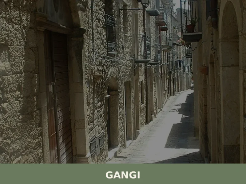
Gangi
What to see in Gangi: Explore this Sicilian village at 1011m. Discover its rich history, typical cuisine, and the vibrant Sagra della Spiga. Plan your visit today!


🏡 Know Campofiorito better than we do?
If you’re a local or have been there, your knowledge matters: add what’s missing or fix a detail on this page.