
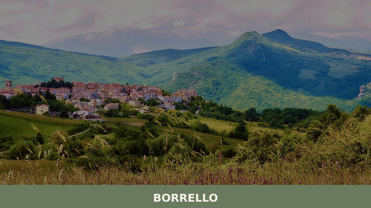
Borrello
At 804 metres above sea level, on the eastern slope of the Majella massif, 338 inhabitants watch over a settlement that in the eighteenth century counted more than two thousand residents. Anyone looking into what to see in Borrello will find a territory shaped more by geology than by human hands: the Cascate del Verde, […]
Discover Borrello
At 804 metres above sea level, on the eastern slope of the Majella massif, 338 inhabitants watch over a settlement that in the eighteenth century counted more than two thousand residents. Anyone looking into what to see in Borrello will find a territory shaped more by geology than by human hands: the Cascate del Verde, with a total drop of 200 metres across three successive ledges, represent the tallest karst waterfall system in the Apennines. The village, in the province of Chieti, retains a compact layout clustered around the parish church and overlooking the Rio Verde valley, a canyon that cuts through the limestone like an open wound in the rock.
History and origins of Borrello
The place name first appears in twelfth-century documents related to monastic properties in the area. The most widely accepted etymology traces the name to the Latin burrellum, a diminutive of burrus (reddish), likely referring to the colour of the clay soil that surfaces on the surrounding slopes. During the Middle Ages, the territory belonged to the Counts of Sangro, the powerful feudal family that controlled much of the upper Sangro valley until the fifteenth century. Its position along the transhumance routes — the grassy paths connecting the pastures of Molise to the Abruzzo mountains — gave the village a role as a staging point for shepherds and merchants.
Between the sixteenth and seventeenth centuries, Borrello passed through the hands of several noble houses, including the Caracciolo and the D’Aquino families. The town reached its demographic peak in the eighteenth century, when agro-pastoral activities and wool processing sustained a relatively solid local economy. Decline began with the Napoleonic-era laws abolishing feudalism and intensified in the twentieth century with waves of migration towards Northern Italy and the Americas. The 1933 Majella earthquake damaged part of the historic built fabric, and the subsequent reconstruction altered the original layout of the centre in several places.
During the Second World War, proximity to the Gustav Line made Borrello the scene of military operations between the autumn of 1943 and the spring of 1944. Retreating German troops mined several structures in the village, and the population was forced to evacuate. The traces of that period are still readable in certain walls rebuilt with salvaged materials, distinguishable by their different texture compared to the original limestone masonry.
What to see in Borrello: main attractions
Cascate del Verde
With a total drop of roughly 200 metres spread over three tiers, these natural waterfalls on the Rio Verde are the highest permanent-flow falls in the Apennines. The water plunges into a canyon carved out of Cretaceous limestone. Access is via a marked trail with observation points at different elevations, managed as a protected area by the Municipality.
Cascate del Verde Regional Nature Reserve
Established in 2001, the reserve covers approximately 287 hectares and protects the Rio Verde canyon along with its riparian vegetation. The flora includes European hop-hornbeam, manna ash, and several species of wild orchid. Among the documented fauna are the lanner falcon, a rare raptor in the central Apennines, and the otter, whose presence has been recorded along the watercourse. The reserve’s trails vary in difficulty level.
Church of Sant’Egidio Abate
The main religious building in the village, situated at the highest point of the settlement. The current structure is the result of successive modifications between the seventeenth and eighteenth centuries, with a plain exposed-stone façade. Inside, it preserves a stucco high altar and several canvases from the Neapolitan school. The single-nave plan reflects the building tradition of rural churches on the eastern Majella.
Ruins of the feudal castle
At the highest point of the historic core, sections of wall survive from what was once the fortress of the Counts of Sangro. Of the original structure, presumably dating to the twelfth or thirteenth century, stretches of curtain wall and the base of a tower remain. The ruins, partially incorporated into later buildings, are most legible from the southern side, where the change in elevation reveals the full vertical extent of the surviving masonry.
Rio Verde canyon trail
A route of approximately 3 kilometres connects the centre of Borrello to the canyon floor, descending about 400 metres in elevation. The path crosses different vegetation bands: from degraded Mediterranean scrub at the top to the humid gorge woodland at the bottom. In some stretches the trail is cut directly into the rock, with natural steps and exposed passages that require proper footwear and a minimum of hiking experience.
What to see in Borrello: local food and produce
The table in Borrello reflects the pastoral and peasant diet of the upper Sangro valley. Maccheroni alla chitarra are made with local durum wheat flour and dressed with a slow-cooked lamb ragù. Pallotte cace e ove — cheese and egg fritters fried and then simmered in tomato sauce — are a waste-nothing dish created to use up stale bread and aged cheeses. Pizza scima, an unleavened flatbread, accompanies cured meats and cheeses such as pecorino di Pescocostanzo, produced in the surrounding mountain areas.
The territory contributes to the production of Colline Teatine DOP extra virgin olive oil, although Borrello’s altitude places the village at the upper limit for olive cultivation. More significant is the harvesting of summer black truffle (Tuber aestivum) in the oak and hornbeam woods of the Sangro valley. Sainfoin and wildflower honey is produced by small local beekeepers. In the autumn months, porcini mushrooms gathered in the beech forests of the eastern Majella complete a seasonal larder that still follows the calendar of natural blooming and ripening cycles.
When to visit Borrello: the best time
The Cascate del Verde reach their peak flow between April and June, when snowmelt on the Majella feeds the Rio Verde. This is the period when the canyon displays its most luxuriant vegetation and the contrast between the pale rock and the intense green of the gorge is most striking. The patron feast of Sant’Antonio di Padova, on 13 June, brings the village to life with a procession and a market that draw residents from neighbouring towns. Summer brings daytime temperatures of around 25–28°C, with cool nights dropping below 15°C — ideal conditions for hiking.
Autumn, between October and November, offers the chance to walk the reserve’s trails as the foliage of the beeches and hornbeams turns yellow and red. Winter brings frequent snowfall above 900 metres and can make some paths impassable, but the village takes on a stark, bare appearance that better reveals the architectural skeleton of the historic centre. It is advisable to check the reserve’s opening hours, as during the winter months access is reduced or by appointment only.
How to get to Borrello
By car, from the A25 motorway (Rome–Pescara), take the Sulmona exit and continue on the SS17 towards Roccaraso, then turn off onto the SP road descending into the Sangro valley. The drive from Sulmona covers about 55 kilometres in just over an hour. From Pescara, the distance is approximately 130 kilometres via the A25 and SS17. From Rome, the journey is around 200 kilometres with a driving time of roughly two and a half hours.
The nearest railway station is Castel di Sangro, about 20 kilometres away, served by the Sulmona–Carpinone line. Services are limited and not always daily, so it is necessary to check timetables with Trenitalia. From Castel di Sangro there are no direct public transport connections to Borrello: a car is the only practical option for the final stretch. The closest airport is Pescara (Abruzzo Airport), approximately 140 kilometres away. Rome Fiumicino airport, about 230 kilometres distant, offers a wider range of international connections. The local road network is well maintained but includes single-carriageway sections with tight bends, especially on the final approach to the village.
Other villages to discover in Abruzzo
The network of small mountain settlements in inland Abruzzo traces an itinerary that can extend from Borrello northward, following the valleys up to the Peligna basin. Anversa degli Abruzzi, about 50 kilometres along the SS17 towards Sulmona, overlooks the Sagittario Gorges with a historic centre where stone houses face directly onto the cliff edge. The gorge nature reserve, managed by WWF, features a ravine habitat with endemic botanical species that finds a direct parallel in the Rio Verde canyon at Borrello.
Closer to Anversa, Bugnara spreads across a hill looking out over the Sulmona plain, with the church of Santa Maria della Neve and the remains of the Ducal castle as its main architectural landmarks. Both villages share with Borrello the same geological matrix — the limestone of the Majella and the Montagna Grande — and an economic history tied to transhumant pastoralism. A circular route linking the three centres allows you to pass through different altitudes, vegetation types, and microclimates in just a few hours, from the Sangro valley floor to the higher elevations of the Peligna basin. For further regional context, the Wikipedia page dedicated to Borrello and the Touring Club Italiano portal offer additional verified information on routes and logistics.
In Abruzzo More villages to discover
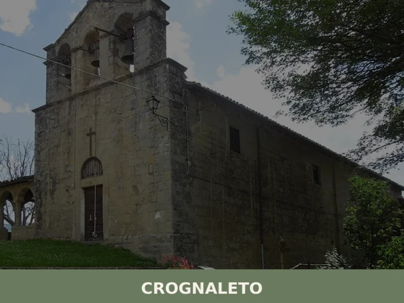
Crognaleto
Crognaleto, a scattered municipality in the province of Teramo, stands out for its average altitude of 1094 meters above sea level, positioning itself as one of the highest centers in the Gran Sasso d’Italia massif. Its territory, extensive and fragmented into over twenty hamlets, offers a diverse panorama of mountain landscapes and rural views that […]
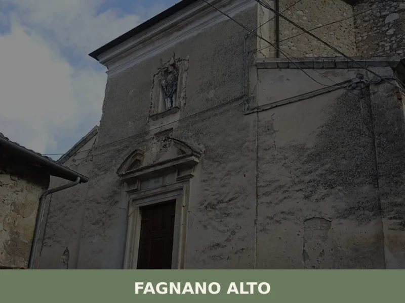
Fagnano Alto
Fagnano Alto is not a single village but a scattered municipality: 363 inhabitants spread across twelve hamlets between 560 and 900 metres above sea level, on the eastern slope of the middle Aterno valley, in the province of L’Aquila. The administrative centre is Vallecupa, dedicated to San Donato, but each hamlet has its own patron […]
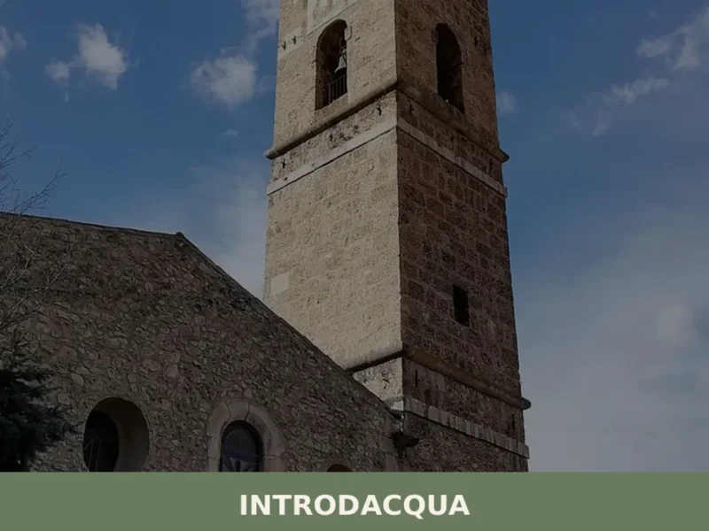
Introdacqua
At 642 metres above sea level, at the exact point where three watercourses — the Gizio, the Nera and the San Callisto — converge in the Peligna valley, stands Introdacqua, whose Latin name Intro Acquas records this confluence of waters. The village has a current population of 2,117 and retains an urban layout reflecting at […]


📝 Incorrect information or updates?
Help us keep the Borrello page accurate and up to date.