


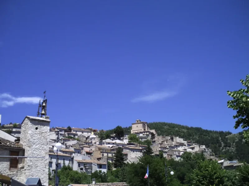
Fagnano Alto
Fagnano Alto is not a single village but a scattered municipality: 363 inhabitants spread across twelve hamlets between 560 and 900 metres above sea level, on the eastern slope of the middle Aterno valley, in the province of L’Aquila. The administrative centre is Vallecupa, dedicated to San Donato, but each hamlet has its own patron […]
Discover Fagnano Alto
Fagnano Alto is not a single village but a scattered municipality: 363 inhabitants spread across twelve hamlets between 560 and 900 metres above sea level, on the eastern slope of the middle Aterno valley, in the province of L’Aquila. The administrative centre is Vallecupa, dedicated to San Donato, but each hamlet has its own patron saint, its own church, its own form. Asking what to see in fagnano alto really means crossing a territory that is at once fragmented and coherent, where the medieval settlement pattern can still be read in the arrangement of the houses, in the bell towers that mark the distance between one hamlet and the next, in the mule tracks connecting Opi, Ripa, Pedicciano, Castello.
History and origins of Fagnano Alto
The name “Fagnano” most likely derives from the Latin fundus Fanianus, a rural estate from the Roman period linked to a landowner named Fanius. The qualifier “Alto” was added in 1862, after the unification of Italy, to distinguish the municipality from the identically named Fagnano in the Milan area. Human presence in the area is documented as far back as the era of the Vestini, the Italic people who controlled the upper and middle Aterno valley before the Roman conquest.
During the Middle Ages the territory of Fagnano fell within the Baronia di Carapelle, one of the feudal districts that organised the Aquilan hinterland. The hamlets took shape as small fortified settlements — some with watchtowers, others with reduced defensive walls — following a pattern of dispersed habitation common to many Apennine areas of inland Abruzzo. The founding of L’Aquila in 1254 also involved the locali of Fagnano, who contributed men and resources to the creation of the city, as recorded in the system of the Aquilan quarti.
The 2009 earthquake, with its epicentre just a few kilometres away, hit several of the municipality’s hamlets hard. Some historic buildings and churches suffered serious structural damage, and the reconstruction — still partially underway — has reshaped the relationship between residents and their territory, accelerating a depopulation that had already been in progress for decades. According to ISTAT data, the municipality has lost over 70% of its population compared to the roughly 1,300 inhabitants recorded in the 1951 census.
What to see in Fagnano Alto: churches, towers and landscape
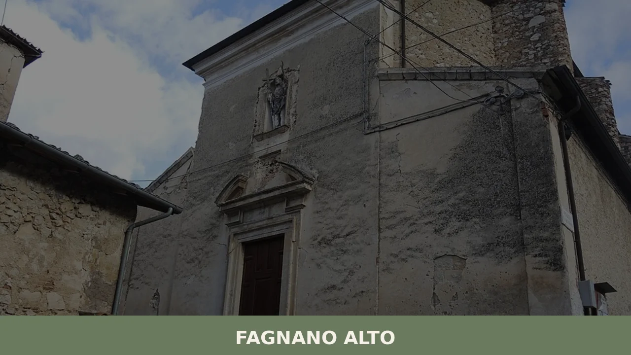
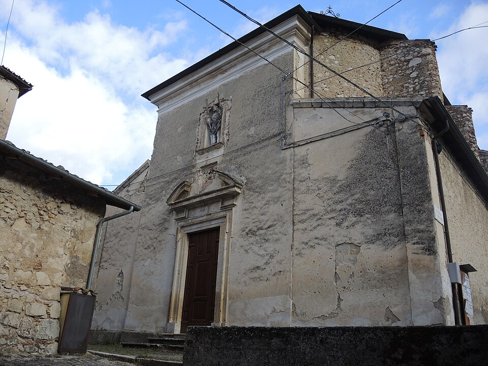
1. Church of San Donato in Vallecupa
The parish church of the administrative centre is dedicated to the patron saint of the hamlet. The structure is medieval, reworked in later periods. Inside, decorative elements and sacred furnishings document local devotion between the 16th and 18th centuries. The building sustained damage in the 2009 earthquake and has undergone consolidation work.
2. The medieval layout of Castello
The hamlet of Castello preserves its original function in its very name. The inhabited core maintains a compact, vertical plan, with the remains of a tower and covered passageways between the houses. The elevated position offered visual control over the valley below, in keeping with the defensive logic of fortified villages across the central Apennines.
3. Church of Santa Maria delle Grazie in Pedicciano
Pedicciano is home to one of the most notable religious buildings in the municipality. The church of Santa Maria delle Grazie features a portal with sculptural elements and a single-nave interior. The hamlet, among the most populated in the municipality, retains a compact built fabric with houses in local limestone.
4. The paths between the hamlets
The twelve hamlets of Fagnano Alto are connected by a network of municipal roads and trails that cross oak woods and beech forests at higher elevations. The route between Vallecupa and Ripa, for example, covers an elevation gain of about 200 metres over a few kilometres and allows you to observe the gradual variation in vegetation and rural architecture.
5. The view over the Aterno valley
From several hamlets — particularly from Castello and Colle — the view opens onto the Aterno valley and the ridges of the Sirente Velino Regional Park. Monte Sirente (2,349 m) and Velino (2,486 m) are clearly visible on winter days, when the cold air reduces the haze in the valley.
Food and local produce
The cuisine of Fagnano Alto is that of inland mountain Abruzzo: cereals, legumes, sheep meat, highland vegetables. Dishes found in homes and in the few eateries in the area include sagne e fagioli, irregular fresh pasta cooked with borlotti or local beans, and arrosticini, skewers of sheep meat cut into small cubes that are the most widespread dish in the region. Lentils grown in the surrounding areas — particularly those from the Navelli plateau — have received quality certifications and can be found at local markets.
L’Aquila DOP saffron, produced on the nearby Navelli plain about twenty kilometres away, is the defining ingredient of the territory: it goes into risottos, desserts, and traditional preparations such as cazzarielli allo zafferano. Local pecorino, aged in caves or cellars, and extra virgin olive oil from the lower elevations of the valley round out the area’s food base. Dining options within the municipality are limited; for a wider choice you need to head towards L’Aquila or the towns along the valley.
When to visit Fagnano Alto: the best time
The climate of Fagnano Alto is continental mountain: harsh winters with temperatures regularly dropping below zero between December and February, and short summers with highs that rarely exceed 28–30 degrees. Spring, between April and June, is the most suitable period for hiking: the meadows between the hamlets are in bloom, the trails are passable, the days lengthen without the heat of the lowlands. Autumn — October in particular — brings the colours of the beech forests and a raking light that defines the volumes of the stone architecture.
The patron saint festivals of the various hamlets mark out the summer calendar between July and August, when emigrated residents return and the municipality’s population temporarily doubles or triples. The feast of San Donato in Vallecupa is the main event for the administrative centre. For up-to-date information on events and accessibility, you can consult the official website of the Municipality.
How to get to Fagnano Alto
Fagnano Alto can be reached from L’Aquila in about 25 minutes along the state road 17 towards Navelli-Popoli, turning off onto the provincial road for the hamlets. From Rome the distance is about 120 kilometres: take the A24 Roma-L’Aquila motorway to the L’Aquila Est exit, then continue on the state road towards the south-east. From Pescara, the quickest route goes via the A25 to Bussi/Popoli, then heads up the Aterno valley for about 30 kilometres.
The nearest railway station is L’Aquila, served by the Terni-Sulmona line operated by Trenitalia. The reference airport is Rome Fiumicino, about 170 kilometres away; alternatively, Abruzzo Airport in Pescara is about 100 kilometres away. A car is essential: public transport to the hamlets is limited to a few daily regional bus services.
What to see in Fagnano Alto and in nearby villages in Abruzzo
Fagnano Alto’s position in the middle Aterno valley places it in an area of inland Abruzzo where small mountain municipalities share similar settlement structures: compact stone cores, agro-pastoral economies, a direct relationship with the surrounding massifs. To the north, towards Gran Sasso, Cagnano Amiterno offers a comparable context — a few hundred inhabitants, rural churches, a network of hamlets distributed at altitude — with the added proximity to the Aquilan side of Gran Sasso and its caves.
To the south, on the Fucino plateau, Aielli has followed a different trajectory: the medieval village, also damaged by historical earthquakes, has become in recent years a reference point for street art and for the mural festival that has transformed its façades. The comparison between the two models — Fagnano Alto with its dispersed and unspectacularised identity, Aielli with its choice of artistic regeneration — tells the story of two parallel ways of inhabiting the contemporary Abruzzo Apennines. For a deeper look at the history and geography of the municipality, the Wikipedia entry provides a well-documented overview.
📷 Photo Gallery — Fagnano Alto

Nearby Villages near Fagnano Alto
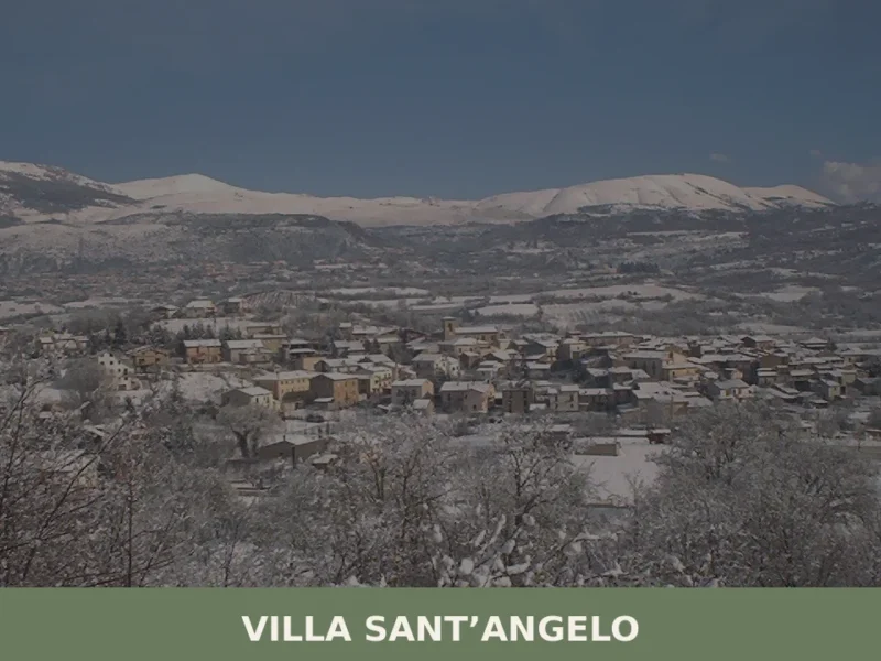
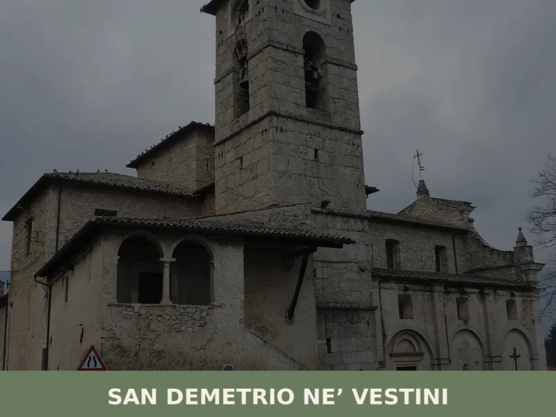
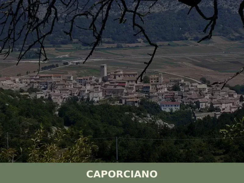
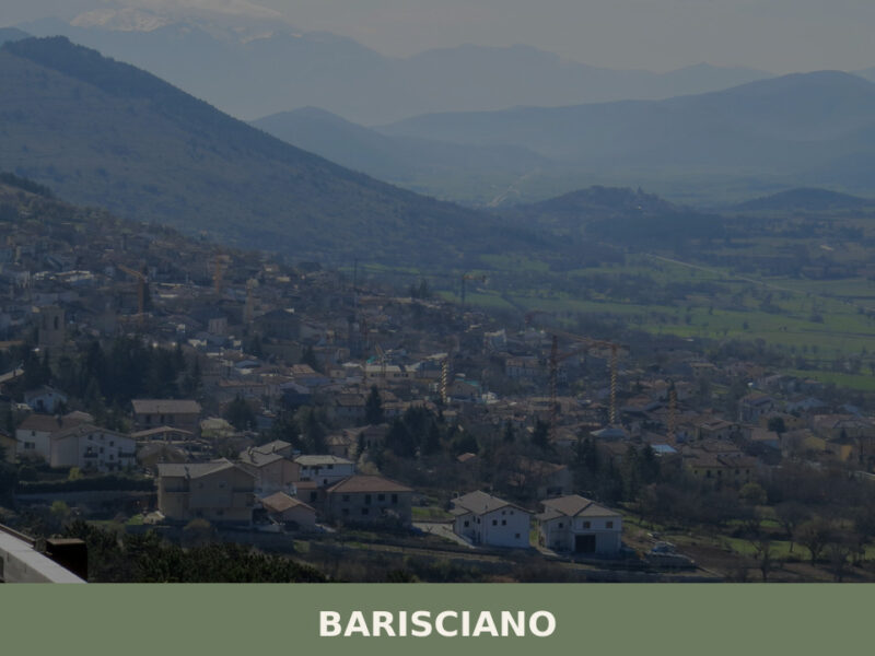
In Abruzzo More villages to discover
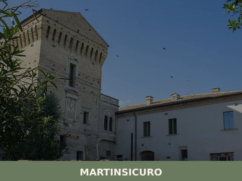
Martinsicuro
Martinsicuro, located 2 meters above sea level in the province of Teramo, has a population of 16,270 inhabitants. Its development is directly linked to the Adriatic coast and the presence of the Tronto river mouth. For those wondering **what to see in Martinsicuro**, the core interest lies in its identity as a seaside town that […]
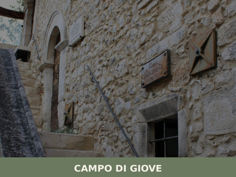
Campo di Giove
A mountain village at 1,064 metres beneath the Majella massif. Discover what to see in Campo di Giove — medieval stone houses, highland pastures, and quiet trails.
Secinaro
what to see in secinaro, Italy: Explore this Abruzzese village at 859m (2,818 ft) above sea level, home to a unique meteor crater field and Monte Sirente's slopes.
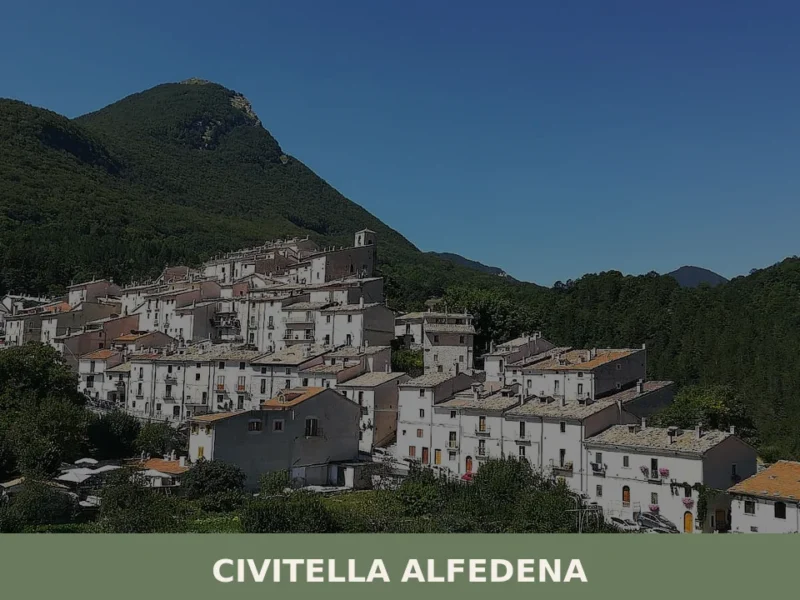
Civitella Alfedena
At 1123 metres above sea level, on the southern slopes of the Abruzzo, Lazio and Molise National Park, Civitella Alfedena is home to just 285 residents — fewer than a single apartment block in Rome — spread along an urban core that retains its medieval defensive layout, complete with stone portals and covered passageways. Asking […]
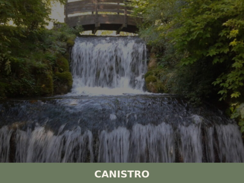
Canistro
A village of mineral springs and stone alleys split between two elevations in the Valle Roveto. Here is what to see in Canistro, Abruzzo.
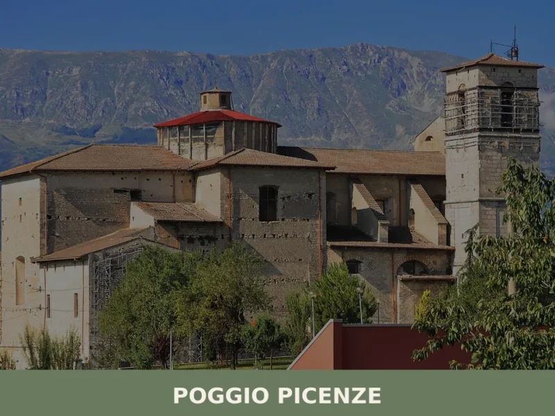
Poggio Picenze
What to see in Poggio Picenze, Italy: explore 5 top attractions at 760 m altitude, the Blues festival, and San Felice feast. Discover Abruzzo's limestone village.
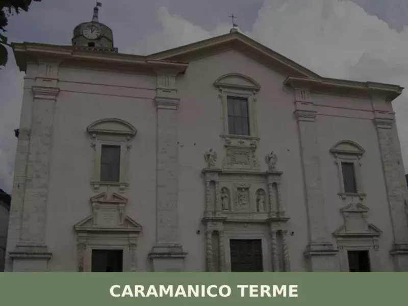
Caramanico Terme
The sulphurous waters of Caramanico have been documented since the 16th century, when the earliest medical treatises recorded their therapeutic properties. Today the village has 1,779 inhabitants and sits at 600 metres above sea level in the Orfento valley, a canyon carved into the eastern side of the Majella massif, in the province of Pescara. […]
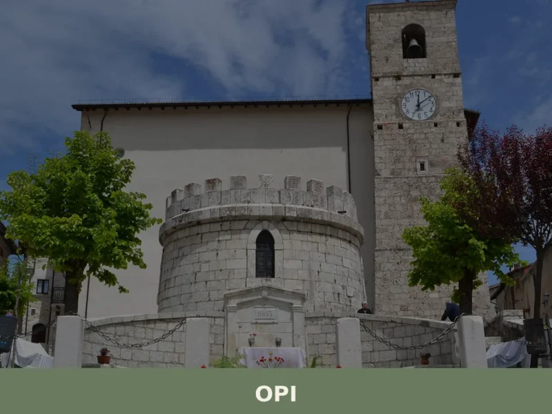
Opi
What to see in Opi, Abruzzo, Italy: explore 3 historic monuments, the National Park of Abruzzo, and the Val Fondillo Necropolis. Discover how to get there.
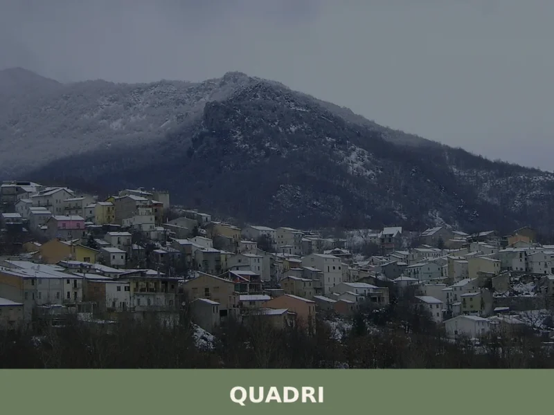
Quadri
The limestone of the alleyways climbs straight up toward the ridge, and from up there the valley opens onto slopes where beech forests give way to pastures. Quadri belongs to the province of Chieti, in the heart of inland Abruzzo, at an altitude that isolates the village from the main transit routes and keeps it […]
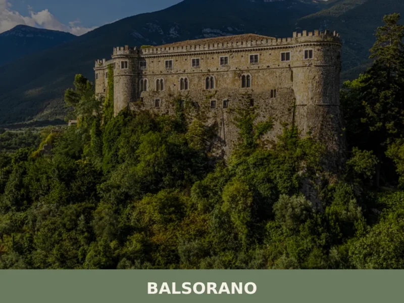
Balsorano
The Val Roveto divides southern Abruzzo from Lazio along a fault line that has determined earthquakes, migrations and feudal borders for over seven centuries. Balsorano occupies the valley floor and the hillside at 340 metres above sea level, with its 3,617 inhabitants spread between the upper historic centre — Balsorano Vecchio — and the modern […]


🏡 Know Fagnano Alto better than we do?
If you’re a local or have been there, your knowledge matters: add what’s missing or fix a detail on this page.