


Civitaluparella
At 903 metres above sea level, on the eastern slope of the Majella descending towards the Aventino river, Civitaluparella has 281 inhabitants spread across a compact urban core of medieval origin. The place name most likely derives from “Civitas Luparella”, a direct reference to the historical presence of wolves in the dense surrounding woodlands. Anyone […]
Discover Civitaluparella
At 903 metres above sea level, on the eastern slope of the Majella descending towards the Aventino river, Civitaluparella has 281 inhabitants spread across a compact urban core of medieval origin. The place name most likely derives from “Civitas Luparella”, a direct reference to the historical presence of wolves in the dense surrounding woodlands. Anyone looking into what to see in Civitaluparella will find a small centre with deep layers of history: walls built from local stone, a parish church dedicated to Saint Peter, and a relationship with the mountain landscape that for centuries defined the agro-pastoral economy of the village.
History and origins of Civitaluparella
The earliest documented references to the name Civitaluparella date back to the Norman period, when the territory fell within the feudal holdings linked to the defensive system of the Aventino valley. Like many settlements in the Chieti hinterland, the village developed around a fortified nucleus in an elevated position, suited to controlling the transhumance routes connecting the mountain pastures of the Majella to the coastal plains. Over the centuries, the fief passed through various noble families of the Kingdom of Naples, following the political fortunes of Abruzzo Citeriore.
In the eighteenth-century cadastral survey (catasto onciario), Civitaluparella was recorded as a predominantly pastoral centre, with an economy based on sheep farming and the production of wool and cheese. Depopulation, which began with the migratory waves of the late nineteenth century towards the Americas and continued in the post-war period with the exodus to the industrial cities of northern Italy, progressively reduced the population, which at the 1901 census still exceeded a thousand residents. Today the Municipality of Civitaluparella administers a territory extending over approximately 16 square kilometres, largely covered by beech and turkey oak forests.
The link with transhumance has left marks still visible in the urban fabric and across the territory: the minor drove roads crossing the surrounding countryside, the structures of the old pastoral shelters, and the very layout of the houses — with stables on the ground floor and living quarters above — reflect an organisation of space dictated by the rhythms of livestock rearing.
What to see in Civitaluparella: 5 main attractions
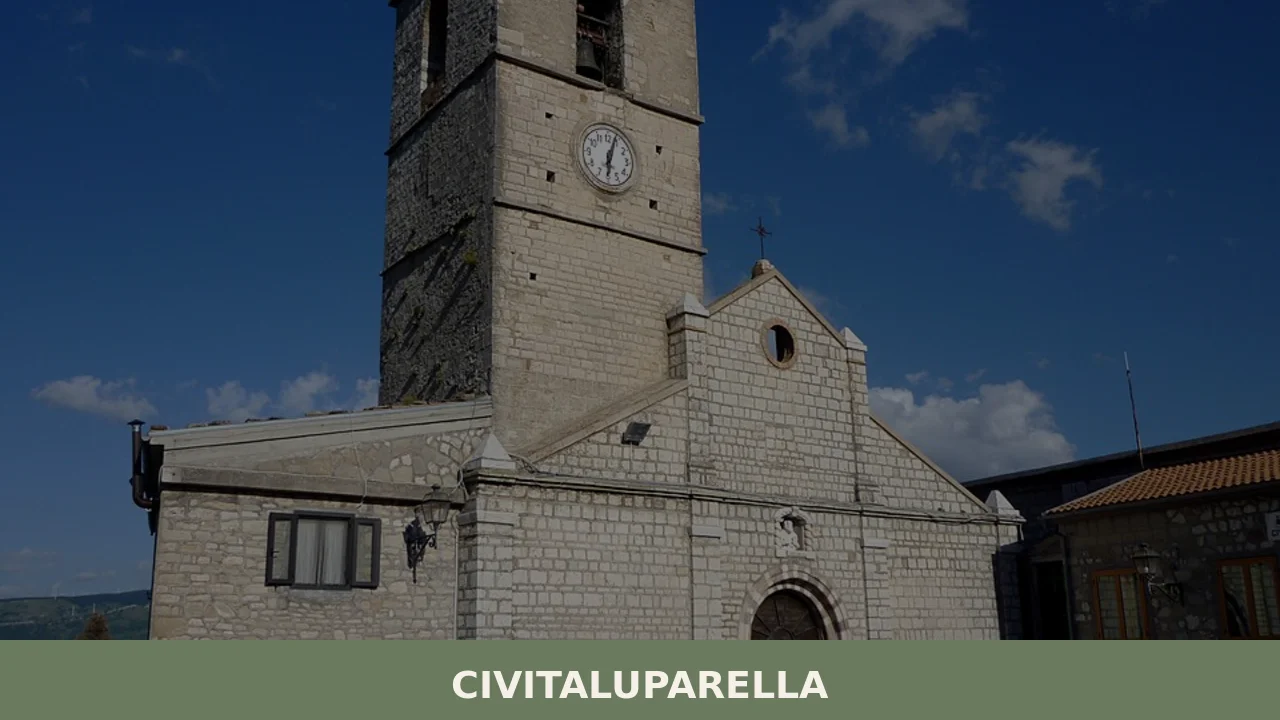
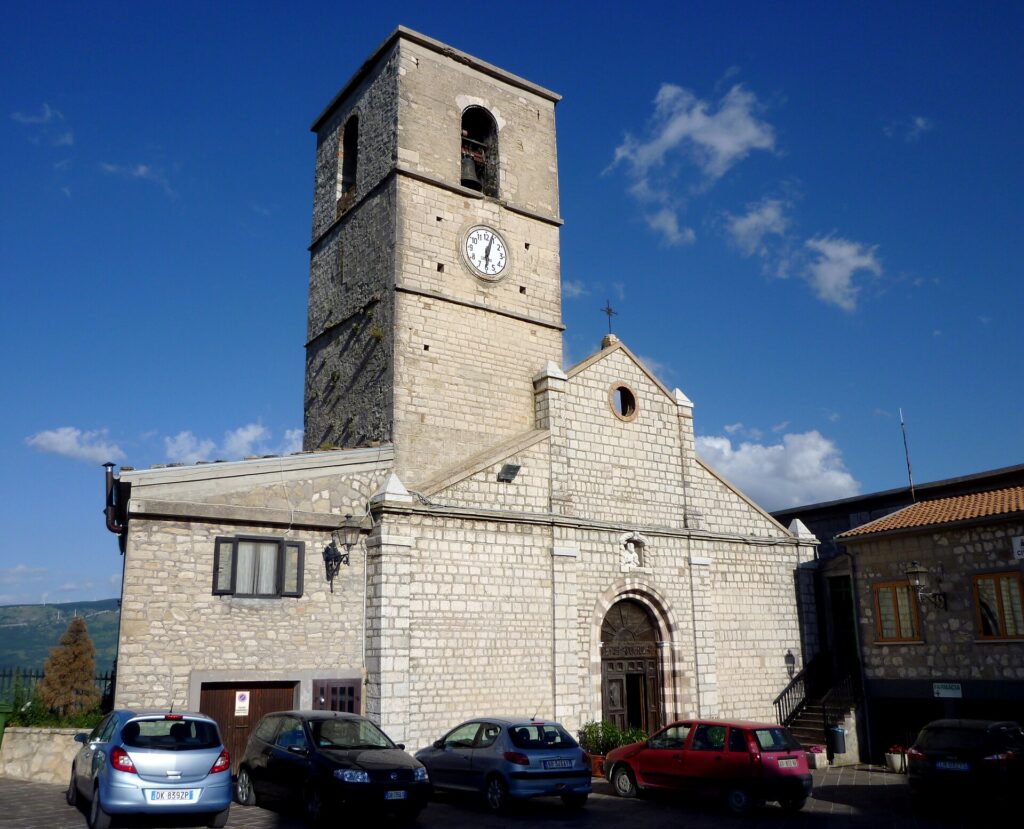
1. Church of San Pietro Apostolo
The parish church, dedicated to the village’s patron saint, has a structure modified over the centuries, with a plain stone façade and a bell tower visible from several points in the valley below. Inside, there are handcrafted sacred furnishings and a masonry altar that reflects the sobriety of religious architecture in Abruzzo’s mountain settlements. The celebrations for the feast of Saint Peter, on 29 June, are the main liturgical event of the year.
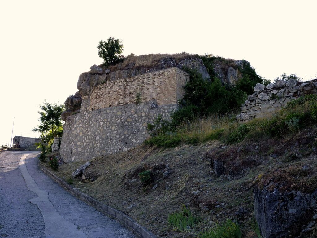
2. Medieval historic centre
The old nucleus extends along a longitudinal axis, with narrow alleyways and houses built from local limestone, many of which retain doorways with carved and dated lintels from the seventeenth and eighteenth centuries. The oldest masonry, visible in the upper part of the village, shows dry-stone construction techniques attributable to the late medieval period. Some buildings feature external stone staircases leading to the living floors, a typology widespread across the Abruzzo Apennines.
3. Beech forests of the eastern Majella
The municipal territory borders the foothills of the Majella National Park, and trails departing from the village pass through dense beech woods that above 1,000 metres form continuous canopies. In autumn, the changing foliage produces a chromatic mosaic that attracts nature photographers. Among the species observable in the surrounding forests are the white-backed woodpecker and, in the more remote areas, traces of the Apennine wolf — the animal that gives meaning to the village’s very name.
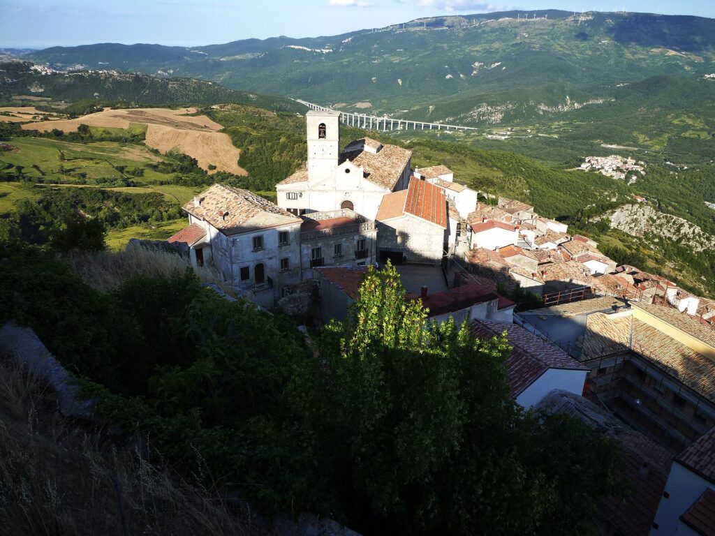
4. Viewpoint over the Aventino valley
From the south-eastern edge of the village, a natural vantage point offers an open view over the Aventino valley and the ridges separating the province of Chieti from upper Molise. On days with clear visibility, the gaze reaches the mountain crests along the regional border. The elevation difference between the valley floor and the village exceeds 400 metres, and the slope displays the vegetational succession from degraded Mediterranean scrub to montane woodland.
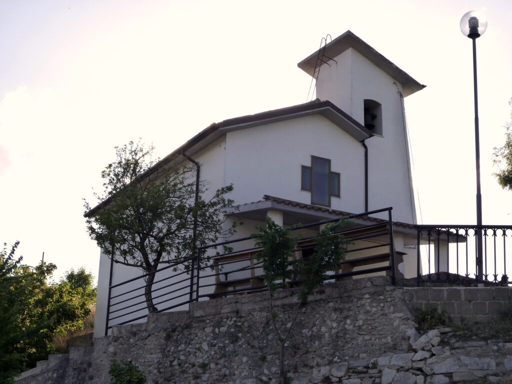
5. Chapel of Sant’Antonio
Dedicated to the village’s second patron saint, the small Chapel of Sant’Antonio stands in an outlying position relative to the inhabited centre. The building, modest in size, is opened for the saint’s feast day and during processions involving the local community. The structure is an example of the network of small shrines and minor places of worship that once dotted the countryside of inland Abruzzo, often placed along the routes of seasonal flock movements.
Food and local produce
The table in Civitaluparella reflects the pastoral and mountain economy of the area. Arrosticini — skewers of hand-cut sheep meat — are present at every communal gathering, but the local cuisine stands out for its seasonal preparations: sagne e fagioli, irregular fresh pasta cooked with dried pulses, is a winter dish common across the entire area. The pecorino cheese produced by the few remaining shepherds follows manual processing methods, with ageing periods ranging from a few weeks to over a year. In autumn, foraging for porcini mushrooms in the beech forests is an activity pursued both by residents and by visitors from the coast.
The area falls within the production zone of extra virgin olive oil from the Teatine hills, although at elevations as high as Civitaluparella’s, olive cultivation is marginal and woodland and livestock products prevail. Bread baked in wood-fired ovens, tomato preserves, and pork cured meats — in particular ventricina, a cured sausage seasoned with sweet and hot dried pepper — complete a larder built entirely around the need to preserve food during the cold months, when snow can cut the village off for days.
When to visit Civitaluparella: the best time of year
Summer, from June to September, offers the most favourable conditions for exploring the village and the surrounding trails: daytime temperatures range between 20 and 28 degrees, with cool nights that make a stay comfortable even during heatwaves on the Adriatic coast, less than an hour and a half away. The patron saint feasts of Saint Peter (29 June) and Saint Anthony concentrate the moments of greatest community life, with processions, music, and collective meals that also draw emigrants and descendants of families originally from the village.
Late autumn, between October and November, is the season for mushroom and chestnut gathering and for the changing colours of the beech woods, which transform the surrounding forest landscape. Winter brings frequent snowfall above 900 metres and night-time temperatures dropping below zero; road access can become difficult during heavy precipitation. Spring, from April onwards, coincides with the flowering of mountain meadows and the resumption of activity in the fields, though rainy days are relatively common.
How to reach Civitaluparella
From Pescara, the provincial capital with an airport (Abruzzo Airport), the distance is approximately 100 kilometres, reachable in about one hour and forty minutes. Take the A25 motorway towards Rome as far as the Bussi/Popoli exit, then continue on the SS 17 and the provincial roads climbing up the Aventino valley. From Rome, the most direct route — roughly 200 kilometres — follows the A25 to Sulmona and from there heads towards the province of Chieti via the state road.
The nearest railway station is Castel di Sangro, about 30 kilometres away, served by the Sulmona–Carpinone line. Public bus connections are limited and infrequent, making a car the most practical option. The roads leading to the village are narrow and winding, with hairpin bends: caution is advised during the winter months, when the road surface may be icy. Naples is approximately 220 kilometres away, reachable via the A1 and then the A25 in the opposite direction.
What to see in Civitaluparella and in nearby villages in Abruzzo
Civitaluparella’s position, in the southern part of the province of Chieti on the border with Molise, places it in an area of mountain villages largely untouched by mass tourism yet significant for their urban structure and environmental setting. About twenty kilometres to the south, Castiglione Messer Marino sits at over 1,000 metres above sea level and is known for its traditional wool processing and a historic fair dating back to the medieval period. The village retains a compact urban layout and a position overlooking the Sinello valley.
Closer by, about ten kilometres along the Aventino valley, Borrello is known for the Cascate del Verde, the highest waterfalls in the Apennines with a total drop of approximately 200 metres, set within the Regional Nature Reserve of the same name. The combination of Civitaluparella, Borrello, and the surrounding centres allows visitors to put together a multi-day itinerary through inland Abruzzo, alternating exploration of the historic cores with hikes through the forests and along the waterways of the eastern Majella.
Frequently asked questions about Civitaluparella
What is the best time to visit Civitaluparella?
The ideal period is June to September, when daytime temperatures range between 20 and 28°C and trails through the beech forests are fully accessible. The feast of Saint Peter on 29 June is the year's main community event, with processions, music, and collective meals. Saint Anthony's feast also draws locals and returning emigrants. October and November offer spectacular autumn foliage and mushroom foraging. Winter brings heavy snowfall above 900 metres and possible road closures, making it suitable only for experienced travellers prepared for mountain conditions.
What are the historical origins of Civitaluparella?
Civitaluparella's earliest documented references date to the Norman period, when the territory was integrated into the feudal system of the Aventino valley. The place name derives from 'Civitas Luparella', reflecting the historical presence of wolves in the surrounding woodlands. The village developed as a fortified hilltop settlement controlling transhumance routes between the Majella pastures and the Adriatic coast. The eighteenth-century catasto onciario records it as a predominantly pastoral community. The 1901 census still counted over a thousand residents; emigration to the Americas and northern Italy progressively reduced the population to today's 281.
What to see in Civitaluparella? Main monuments and landmarks
The Church of San Pietro Apostolo is the main religious monument, featuring a plain stone façade, a visible bell tower, a masonry altar, and handcrafted sacred furnishings. The medieval historic centre preserves narrow alleyways, limestone houses with carved and dated seventeenth- and eighteenth-century lintels, dry-stone masonry in the upper quarter, and external stone staircases typical of Abruzzo Apennine architecture. On the village's south-eastern edge, a natural viewpoint overlooks the Aventino valley with a 400-metre elevation difference. The Chapel of Sant'Antonio, set outside the inhabited core, completes the main points of interest.
What are the main natural and scenic attractions near Civitaluparella?
The municipal territory borders the Majella National Park, and trails from the village enter dense beech forests forming continuous canopies above 1,000 metres. Autumn foliage draws nature photographers, and the area supports white-backed woodpeckers and Apennine wolves. About ten kilometres down the Aventino valley, Borrello hosts the Cascate del Verde — the highest waterfalls in the Apennines at approximately 200 metres total drop — within a dedicated Regional Nature Reserve. The combination of forest hiking, valley views, and waterfall excursions makes this corner of inland Abruzzo a rewarding natural destination.
Where to take the best photos in Civitaluparella?
The most rewarding spot is the natural viewpoint on the south-eastern edge of the village, where an unobstructed panorama opens over the Aventino valley and the ridges bordering upper Molise, with a visible elevation difference of over 400 metres. The upper quarter of the medieval centre, with its dry-stone walls and carved lintels, offers strong architectural detail shots. In autumn, the beech forests immediately above the village provide dramatic colour contrasts, best captured in the hours after dawn when mist often settles in the valley below.
Are there churches or historic buildings to visit in Civitaluparella?
The main religious building is the Church of San Pietro Apostolo, the parish church dedicated to the village's patron saint, with a stone façade, a masonry altar, and interior sacred furnishings. The Chapel of Sant'Antonio, positioned outside the inhabited centre along former pastoral routes, is opened on the saint's feast day and during community processions. The medieval historic centre itself functions as an open-air architectural record, with houses featuring carved lintels dated to the seventeenth and eighteenth centuries and dry-stone construction visible in the oldest sections of the upper village.
What can you do in Civitaluparella? Activities and experiences
Hiking through the beech forests bordering the Majella National Park is the primary outdoor activity, with trails accessible directly from the village. Autumn mushroom and chestnut foraging in the surrounding woods is practised by both residents and coastal visitors. The patron saint feasts on 29 June (Saint Peter) and the feast of Saint Anthony offer opportunities to experience authentic community life, including processions and shared meals. A short drive down the Aventino valley reaches the Cascate del Verde near Borrello, and the area can be combined into a multi-day itinerary with nearby villages such as Castiglione Messer Marino.
Who is Civitaluparella suitable for? Families, couples, hikers, solo travellers?
Civitaluparella suits hikers and nature lovers seeking uncrowded Apennine forest trails and authentic mountain landscapes. Couples and slow-travel enthusiasts will appreciate the medieval architecture, valley panoramas, and quiet rural atmosphere. Food lovers interested in traditional pastoral cuisine — arrosticini, aged pecorino, ventricina, and seasonal pasta dishes — will find genuine local experiences. Families comfortable with winding mountain roads and limited services can enjoy the natural environment and community festivals. The village is not suited to visitors expecting amenities or organised tourism infrastructure; its appeal lies precisely in its remoteness and authenticity.
What to eat in Civitaluparella? Local products and traditional specialties
The local table is rooted in the Abruzzo pastoral tradition. Arrosticini — hand-cut sheep skewers — appear at every communal gathering. Sagne e fagioli, irregular fresh pasta cooked with dried beans, is a staple winter dish across the area. Pecorino cheese produced by local shepherds follows manual methods, with ageing from a few weeks to over a year. Ventricina, a cured sausage seasoned with sweet and hot dried pepper, is the most characteristic charcuterie product. In autumn, porcini mushrooms foraged from the surrounding beech forests feature in seasonal preparations. Bread baked in wood-fired ovens completes the traditional larder.
📷 Photo Gallery — Civitaluparella
Nearby Villages near Civitaluparella

In Abruzzo More villages to discover
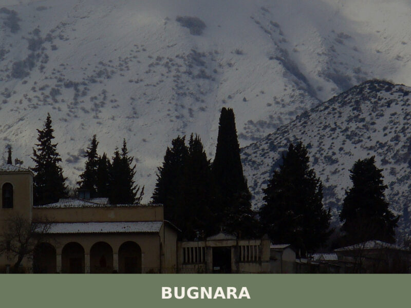
Bugnara
Morning light falls across the Sagittario valley in long, amber strokes, catching the limestone walls of a settlement that has watched over this corridor of central Abruzzo for the better part of a millennium. Bells from a church tower mark the hour, their sound flattening against the surrounding slopes before fading. The streets are narrow, […]
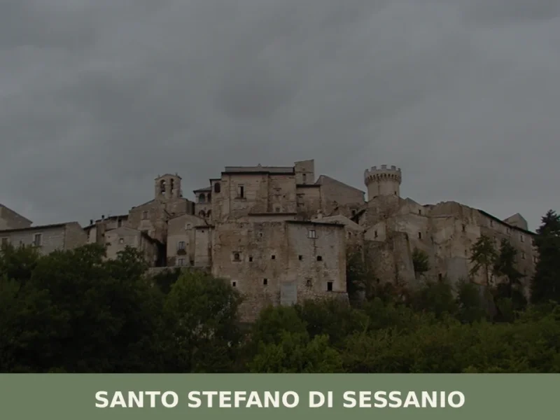
Santo Stefano di Sessanio
What to see in Santo Stefano di Sessanio, Italy: Discover this medieval hill town at 1,250 m (4,101 ft) altitude. Explore its restored Sextantio Albergo Diffuso and taste the renowned gourmet lentils.
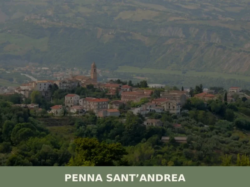
Penna Sant’Andrea
What to see in Penna Sant'Andrea? Discover the 5 must-see attractions of this village in Abruzzo. Plan your visit now!
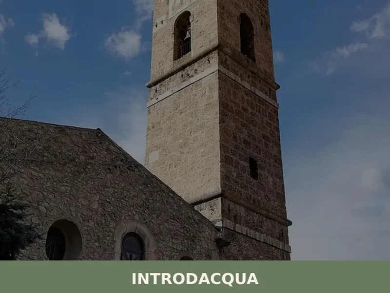
Introdacqua
At 642 metres above sea level, at the exact point where three watercourses — the Gizio, the Nera and the San Callisto — converge in the Peligna valley, stands Introdacqua, whose Latin name Intro Acquas records this confluence of waters. The village has a current population of 2,117 and retains an urban layout reflecting at […]
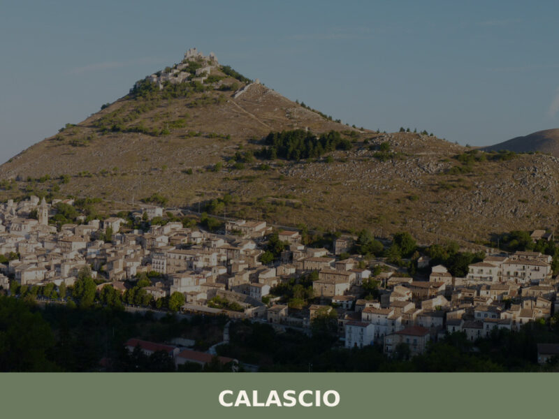
Calascio
Morning light catches the limestone walls of Rocca Calascio before it reaches the village below, turning the fortress a pale gold against the dark mass of the Gran Sasso. At 1,210 metres above sea level, the air is thin and sharp, carrying the sound of wind through empty doorways. Only 127 people live here year-round, […]
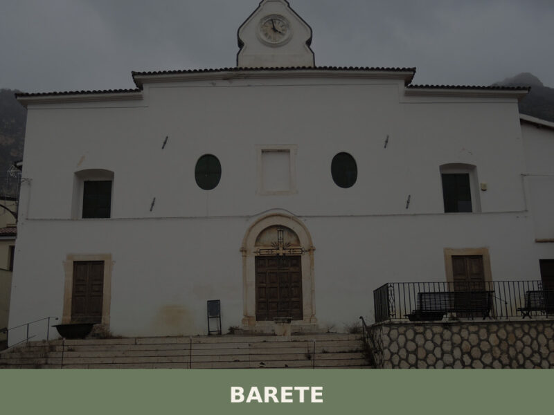
Barete
Morning light hits the limestone walls of Barete’s older houses at a low angle, turning them briefly gold before the shadow of the Gran Sasso massif reclaims the narrow lanes. A rooster calls from somewhere behind a garden wall. The air smells of woodsmoke and cold stone. This is a settlement of roughly 695 inhabitants, […]
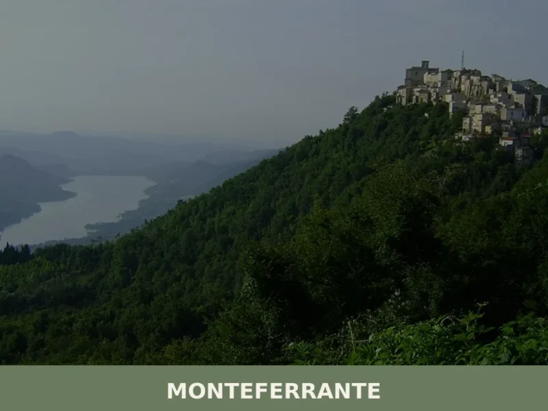
Monteferrante
What to see in Monteferrante: discover the 5 main attractions of this mountain village, from the Church of St. John the Baptist to natural trails. Plan your trip!
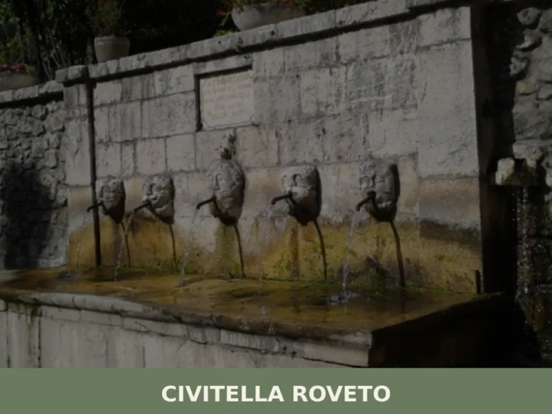
Civitella Roveto
At 528 metres above sea level, on the eastern side of the Valle Roveto, Civitella Roveto has a current population of 3,327, spread between the old town and the hamlets along the River Liri. The valley, a natural corridor between the Marsica and Lazio, determined the strategic role of this settlement for centuries. Understanding what […]
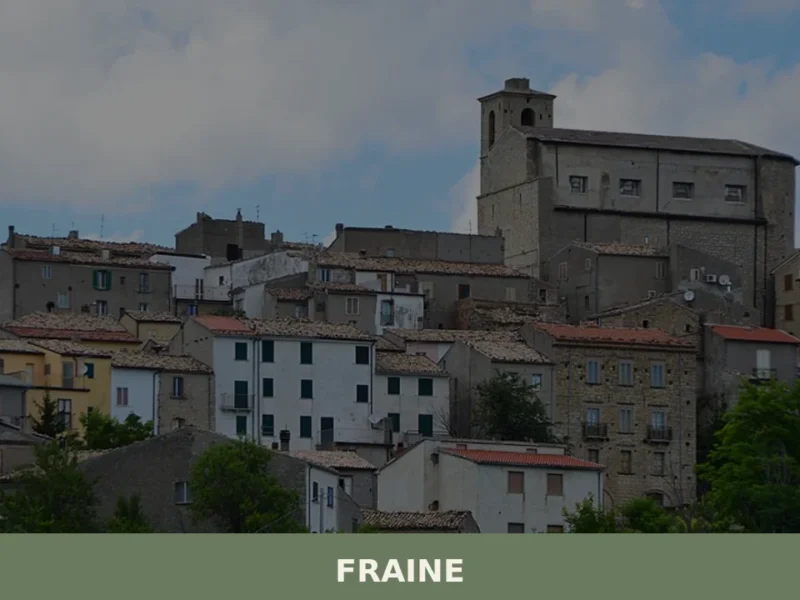
Fraine
At 751 meters above sea level, in the Chieti area, lies Fraine, a municipality with a population of 261 inhabitants. This village, whose history dates back to the 10th-11th century, serves as an observation point over the Alto Vastese territory. For those wondering what to see in fraine, the town offers a journey through the […]
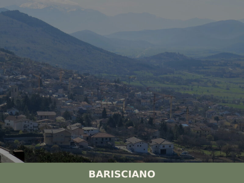
Barisciano
A high-altitude village on the Piana di Navelli, Barisciano holds Roman ruins, Franciscan cloisters, and centuries of Abruzzo history written in stone.


🏡 Know Civitaluparella better than we do?
If you’re a local or have been there, your knowledge matters: add what’s missing or fix a detail on this page.