
Buja
In 1976, two earthquakes devastated Friuli, and Buja was among the hardest-hit municipalities: more than seventy per cent of its buildings suffered serious damage. The reconstruction, which lasted nearly two decades, reshaped the appearance of this hilltop settlement without erasing the scattered layout of hamlets and small villages that has defined it since the Middle […]
Discover Buja
In 1976, two earthquakes devastated Friuli, and Buja was among the hardest-hit municipalities: more than seventy per cent of its buildings suffered serious damage. The reconstruction, which lasted nearly two decades, reshaped the appearance of this hilltop settlement without erasing the scattered layout of hamlets and small villages that has defined it since the Middle Ages. Today, anyone wondering what to see in Buja will find a territory spread across gentle moraine hills at 215 metres above sea level, with 6,619 inhabitants dispersed among clusters bearing names of Lombard and Slavic origin. Rebuilt churches, restored votive shrines, and meadows separating one hamlet from the next form a landscape where post-earthquake human intervention coexists with far older layers of history.
History and origins of Buja
The place name Buja appears for the first time in a document from 1027, when Emperor Conrad II confirmed the Patriarchate of Aquileia’s possession of numerous Friulian territories, including the “villa de Buga”. The etymology remains debated: some scholars link it to the pre-Latin term *buja, referring to marshy or waterlogged ground, while others connect it to the Celtic *boio, which would indicate a settlement of the Boii, a Gallic people documented in northern Italy. What is certain is that humans occupied the area as far back as the Bronze Age, as evidenced by lithic and ceramic artefacts found on the surrounding hills. The position on a moraine ridge, between the Udine plain and the first foothills of the Carnic Pre-Alps, made this area a natural waypoint along the routes linking Aquileia to the Alpine passes. The Romans passed through but did not establish a structured urban centre here: imperial-era finds recovered in the area — fragments of bricks, coins, stretches of paving — suggest instead the presence of rustic villas and rest stations along secondary roads.
During the patriarchal period, Buja took on a more defined identity. The territory was organised into a gastaldia, an administrative district under the direct control of the Patriarch of Aquileia. By the 13th century the settlement already had a parish church, dedicated to Saints Hermagoras and Fortunatus, patron saints of both the Aquileian diocese and the village itself, whose feast day falls on 12 July. The settlement pattern never coalesced into a compact nucleus: families spread across hamlets — Urbignacco, Madonna, San Floreano, Avilla, Tomba — each with its own church or chapel, each with its own fields and woods. This dispersal reflected an agro-pastoral economy that exploited the different micro-environments offered by the moraine hills: vineyards on south-facing slopes, pastures along the ridges, vegetable gardens and arable fields in the valley floors. Venetian rule, which began in 1420 with the fall of the Patriarchate, did not substantially alter this pattern. Buja remained a rural municipality governed by a council of heads of household, distant from the urban dynamics of Udine, yet connected to the trade routes crossing the region.
The 19th century brought the transformations typical of the transition from the ancien régime to the modern state: suppression of residual feudal structures, compulsory conscription, and the first waves of emigration towards Austria-Hungary and later the Americas. Buja paid a heavy toll in the First World War, finding itself close to the front after the rout of Caporetto in October 1917: the territory was occupied by Austro-Hungarian troops until November 1918. But the event that left the deepest mark on collective memory remains the earthquake of 6 May 1976, followed by a violent aftershock in September of the same year. The reconstruction, carried out according to the principle of “where it was, as it was” but using modern anti-seismic criteria, redefined local building stock. Some historic structures were faithfully restored; others, beyond repair, gave way to new buildings that attempted to engage with their surroundings. The result is a layered architectural landscape where the reinforced concrete of the 1980s stands alongside 18th-century stone masonry, and where every hamlet bears both scars and signs of renewal.
What to see in Buja: 5 top attractions
1. Parish Church of Saints Hermagoras and Fortunatus
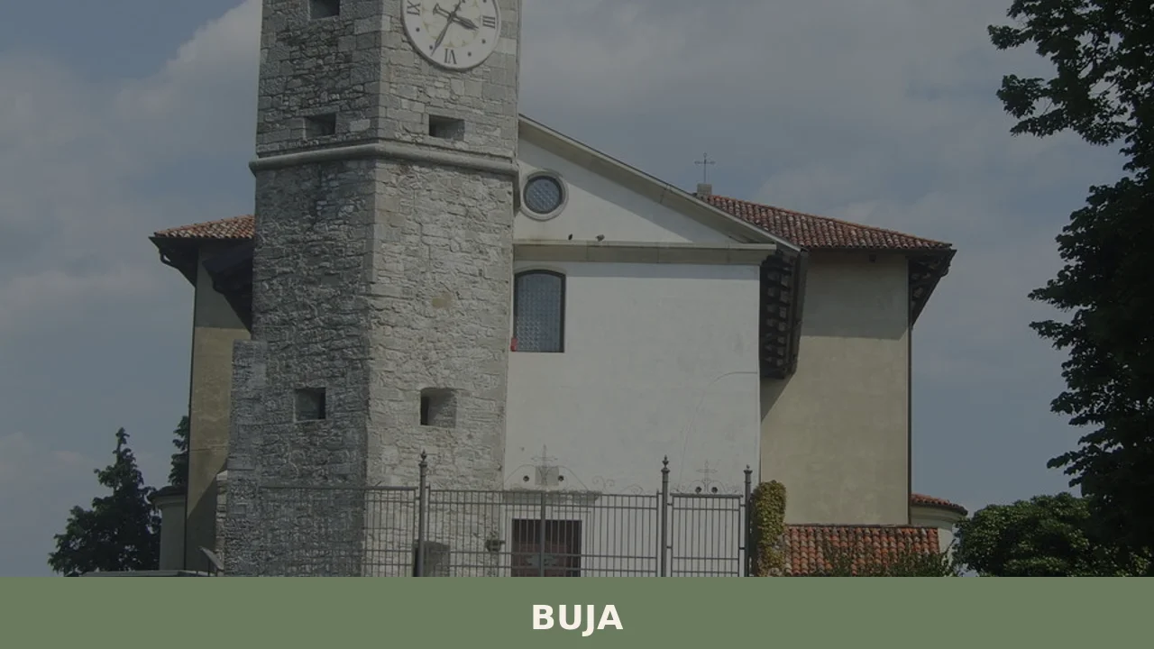
The parish church stands in the hamlet of Madonna di Buja, on the summit of a hill overlooking the surrounding territory. The current building is the result of post-earthquake reconstruction, but it retains elements of the earlier structure, documented since the 13th century. Inside are fragments of frescoes recovered from the rubble and a stone baptismal font datable to the 15th century. The bell tower, rebuilt in the 1980s, reproduces the proportions of the one that collapsed. From the small square in front, the view extends from the Udine plain to the Julian Pre-Alps on clear days. The church is open during services and on request to the parish office.
2. Church of San Lorenzo in Urbignacco
In the hamlet of Urbignacco, one of the oldest in the municipality, the Church of San Lorenzo preserves a cycle of frescoes attributed to the school of Vitale da Bologna, datable to the 14th century. The building, modest in size, has a single nave with a semicircular apse. Restoration work carried out after 1976 consolidated the walls and recovered sections of mural painting that the earthquake had damaged. The main subject of the frescoes depicts scenes from the life of Saint Lawrence and the Virgin Mary. The church is reached on foot from the municipal road that crosses Urbignacco; for visits outside liturgical hours, it is advisable to contact the Municipality of Buja.
3. Monte di Buja and nature trail
Monte di Buja reaches an altitude of 309 metres and is the highest point in the moraine hill system that defines the municipal territory. A loop trail, walkable in around two hours, passes through woods of hop hornbeam, sessile oak and chestnut, with open stretches across stable meadows where wild orchids bloom in spring. Along the route you encounter votive shrines and the remains of abandoned agricultural terraces. The summit provides a 360-degree panoramic viewpoint: the Carnic Pre-Alps to the north, the plain stretching to Palmanova to the south. The trail is waymarked and presents no technical difficulties, making it suitable for families with children.
4. Hamlet of San Floreano
San Floreano is one of the best-preserved hamlets in Buja, with a cluster of stone houses and a small church dedicated to the eponymous saint dating back to at least the 16th century. The hamlet retains its original layout: the dwellings line a main road that climbs gently towards the hill, with inner courtyards and barns still visible in their traditional form. Some façades show signs of post-earthquake reconstruction, while others preserve older masonry with worked stone jambs. San Floreano is easily reached from the centre of Buja and serves as a good starting point for walks into the surrounding hills.
5. Museum of Rural Life
Housed in a renovated rural building, this museum collects farming tools, household utensils and photographic documents that record daily life in the hamlets of Buja from the late 19th century to the mid-20th century. Among the objects on display: wooden and iron ploughs, looms for weaving linen, vessels for processing milk, and implements for viticulture. One section is dedicated to the 1976 earthquake and the reconstruction, with period photographs showing the before and after. Opening hours vary by season; it is best to check on the municipal website or call ahead before visiting.
Local cuisine and regional products
The table in Buja reflects the farming traditions of the Friulian hills, with dishes built on humble ingredients and preservation techniques developed over centuries of rural economy. Frico, a preparation of Montasio DOP cheese melted in a pan with potatoes and onion, is probably the most representative dish: the crispy version, without potatoes, is served as a starter, while the soft version accompanies polenta. Polenta itself, made from white or yellow cornmeal, remains a central element of the meal, cooked in a copper pot and paired with cheeses, game or cured meats. Musetto, a sausage of pork rind and meat spiced with cinnamon and cloves, is traditionally eaten boiled alongside brovada — turnips fermented in grape pomace, a product recognised as a PAT (Traditional Agri-Food Product) of Friuli Venezia Giulia.
Among the territory’s products, Montasio DOP cheese stands out, made in mountain dairies and creameries in the area from raw or pasteurised cow’s milk and aged from two months to over a year. The hilly terrain of Buja also falls within the production area of Friuli Colli Orientali DOC wines: on south-facing slopes, indigenous grape varieties such as Friulano (formerly Tocai), Ribolla Gialla and Picolit are cultivated and vinified by wineries scattered across the hamlets. Acacia and chestnut honey, produced by local beekeepers who take advantage of the blossoms in the hill woodlands, rounds out a food basket firmly rooted in the territory. Gubana, a rolled pastry filled with walnuts, raisins, pine nuts, grappa and citrus peel, is a PAT product found in the patisseries and bakeries of the area, especially during holidays.
Opportunities to taste these products are plentiful throughout the year. The village festival in July, coinciding with the feast of patron saints Hermagoras and Fortunatus on the 12th of the month, features stalls with local products and open-air traditional cooking. In autumn, the grape harvest and chestnut-picking season brings events tied to seasonal flavours across the various hamlets. The local trattorie — small, family-run establishments — still serve dishes such as cjarsòns, sweet-and-savoury ravioli dressed with melted butter and smoked ricotta, prepared according to recipes handed down orally. For those looking to bring products home, the creameries and farms in the area sell directly to the public.
When to visit Buja: the best time of year
Buja’s climate is temperate sub-continental, with cold winters and warm summers tempered by its hillside position. From April to June the territory is at its best from a landscape perspective: the meadows are in bloom, the woods are in full leaf, and temperatures range between 14 and 25 degrees — ideal for walking. July brings the patron saint festival on 12 July, dedicated to Saints Hermagoras and Fortunatus, which fills the village with processions, brass band concerts and small markets. Summer can be hot — temperatures reach 30–32 degrees on peak days — but evenings are cool, thanks to breezes descending from the Pre-Alps.
Autumn, from September to November, is the season of the most intense colours on the moraine hills: the hornbeam and oak woods turn from yellow to orange, and days of sunshine alternating with low-lying mist create scenes of great photographic interest. It is also the period of the grape harvest and of food festivals linked to local products. Winter, from December to February, is the least-visited period: temperatures drop below zero on the coldest nights, snow occasionally dusts the hills, and many facilities reduce their hours. However, the Christmas season brings markets and living nativity scenes to the hamlets, a good reason to visit Buja even in the cold months. At any time of year, it is advisable to have a car available for getting around between the various hamlets.
How to reach Buja
By car, Buja is reached from the A23 motorway (Palmanova–Tarvisio) by exiting at Gemona del Friuli, then continuing on the regional road for about 8 kilometres heading south. Alternatively, from the A4 motorway (Venice–Trieste), exit at Udine Nord and follow the SP49 northward for approximately 18 kilometres. From Udine the drive takes less than 25 minutes; from Trieste about an hour and a half; from Venice roughly an hour and forty minutes.
The nearest railway station is Gemona del Friuli, about 10 kilometres away, served by the Udine–Tarvisio line with frequent regional trains. From Gemona you need to continue by bus or taxi. The closest airport is Trieste Airport at Ronchi dei Legionari, approximately 75 kilometres away — just over an hour by car. Venice Marco Polo Airport is about 150 kilometres away. Once on the ground, a car is virtually essential: Buja’s hamlets are spread over an area of roughly 25 square kilometres, and local public transport connections are limited, especially on public holidays.
Other villages to explore in Friuli Venezia Giulia
Visitors to Buja who have a few extra days can put together an itinerary heading north along the Friulian pre-Alpine valleys. About 30 kilometres away, Bordano is known as the “village of butterflies”: the walls of its houses are painted with enormous murals depicting lepidoptera, and the Butterfly House contains a tropical greenhouse where hundreds of species fly freely. The village, also rebuilt after the 1976 earthquake, turned the trauma of destruction into a collective art project that draws visitors and entomology researchers alike. From Buja it can be reached by car in less than half an hour, following the road that runs alongside Lake Cavazzo.
Continuing towards Carnia, Ampezzo marks the entrance to the upper Tagliamento valley, where the Carnic Alps narrow the valley floor and the landscape changes dramatically: the moraine hills give way to limestone gorges and conifer forests. Ampezzo preserves a historic centre with Carnic architecture — wooden galleries, steep roofs, houses pressed against one another to withstand the cold — and serves as a base for hikes in the Dolomiti Friulane Natural Park. The contrast between the gentle hills of Buja and the alpine verticality of Ampezzo allows you to traverse, in less than an hour’s drive, two profoundly different versions of Friuli that are nonetheless linked by the same geological and human history: the moraines on which Buja sits were deposited by glaciers that descended from those very valleys.
In Friuli Venezia Giulia More villages to discover
Ampezzo
A documentary-style guide to Ampezzo in Carnia, covering its history, key attractions, Carnic cuisine, and how to reach this quiet alpine village in Friuli Venezia Giulia.
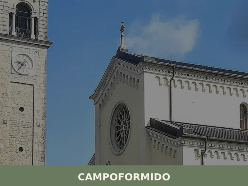
Campoformido
On 17 October 1797, in a country villa on the Friulian plain, plenipotentiaries representing Napoleon Bonaparte and the Austrian Empire signed the treaty that redrew the political map of Europe, erasing the Republic of Venice after more than a millennium of existence. That document bears the name of this place: Campoformido, a municipality of 7,799 […]
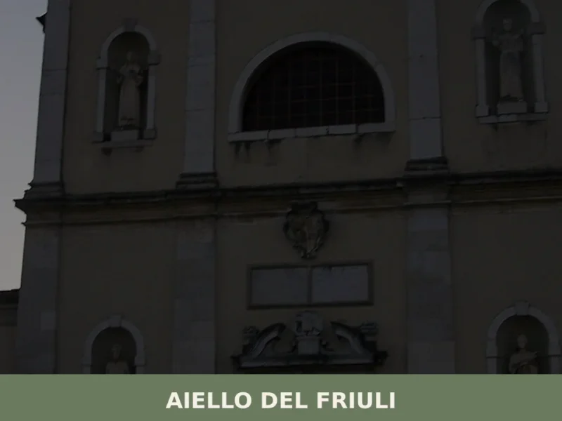
Aiello del Friuli
On the Friulian plain, at 18 metres above sea level, a village of just over two thousand inhabitants holds the highest concentration of sundials per square metre in Italy: more than one hundred solar quadrants scattered across house facades, courtyard walls, and church exteriors. This is not an outdoor exhibition designed for tourists — it […]


📝 Incorrect information or updates?
Help us keep the Buja page accurate and up to date.