


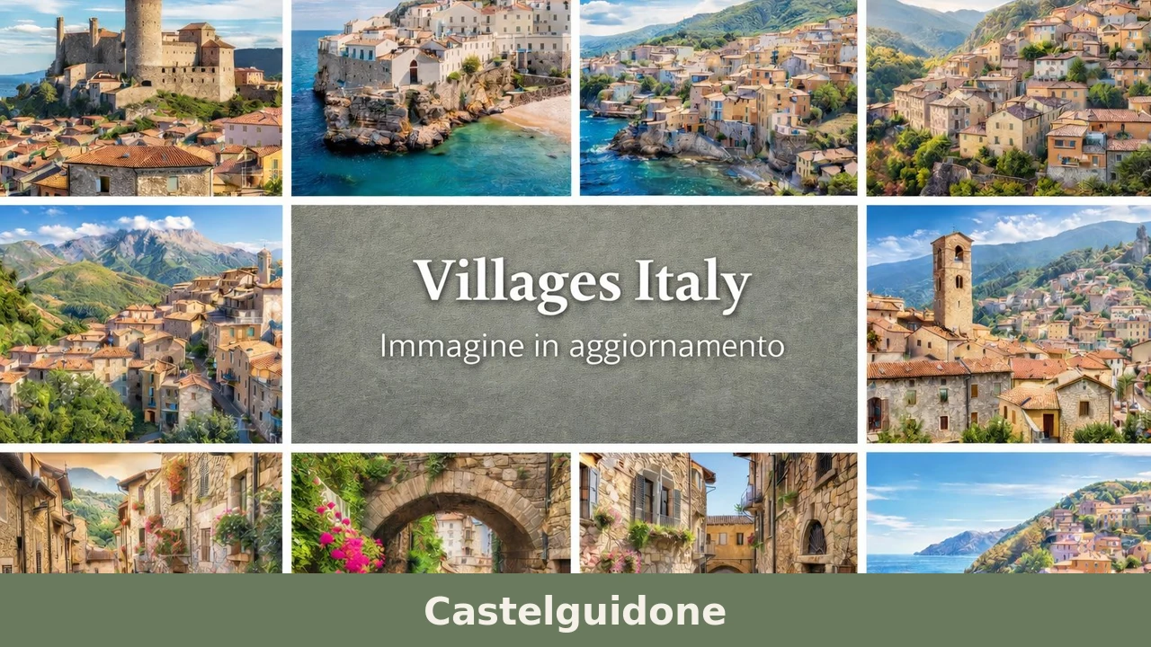
Castelguidone
Castelguidone has 294 inhabitants and occupies a ridge at 775 metres above sea level in the upper Trigno valley, on the border between Abruzzo and Molise. The place name, documented in Angevin records from the 13th century, points to a fortified settlement linked to a feudal lord named Guidone. Anyone looking for what to see […]
Discover Castelguidone
Castelguidone has 294 inhabitants and occupies a ridge at 775 metres above sea level in the upper Trigno valley, on the border between Abruzzo and Molise. The place name, documented in Angevin records from the 13th century, points to a fortified settlement linked to a feudal lord named Guidone. Anyone looking for what to see in Castelguidone will find a compact settlement built from local stone, where houses lean against one another following the profile of the rock, and the terracotta roof tiles form a continuous line visible from the valley floor along the state road 650.
History and origins of Castelguidone
The first written mention of the village dates to the Norman-Swabian period, when the settlement appears in feudal registers as Castrum Guidonis. The name most likely indicates a castrum — a defensive structure — associated with a local lord named Guidone, following a toponymic practice common in southern Italy between the 11th and 12th centuries. During the 1200s the fief came under Angevin control, and fiscal records from 1269 list it within the Giustizierato d’Abruzzo.
During the 15th and 16th centuries, Castelguidone followed the fortunes of the Kingdom of Naples, passing through the hands of various noble families. The territory, marginal in relation to the major communication routes, retained an agropastoral vocation that defined its economy until the 20th century. Its position along the ridge between the Trigno valley and the eastern foothills of the Maiella made the village a strategic observation point, a function that explains the presence of defensive structures now legible only in the urban layout.
The 20th century brought progressive depopulation, accelerated by the 1984 earthquake that struck the area on the border between Abruzzo and Molise. From nearly 1,500 residents in the years following World War II, Castelguidone has dropped below 300 today: a demographic contraction it shares with dozens of municipalities in the Apennine interior, as documented by the data reported in the dedicated Wikipedia entry.
What to see in Castelguidone: 5 top attractions
1. Church of Santa Clementina
Dedicated to the patron saint of the village, celebrated every year by the community, the church stands in the historic centre and is Castelguidone’s main religious building. The exposed stone façade and simple portal reflect the rural sacred architecture of the upper Chieti area of Abruzzo. The interior, with a single nave, preserves an 18th-century altar and a statue of the saint carried in procession during the patronal feast.
2. Historic centre and medieval urban layout
The houses of the old core follow the ridgeline, arranged on overlapping levels connected by external stone staircases and covered passageways. This configuration, dictated by defence needs and the slope of the terrain, is still clearly readable today when walking through the narrow streets of the centre. Several buildings display carved stone portals dating from the 16th to the 18th century, evidence of well-off families connected to the management of the agricultural territory.
3. Remains of the fortified structure
No isolated towers or walls survive from the original castrum, but the arrangement of houses in the highest part of the village reproduces the perimeter of a defensive enclosure. Some load-bearing walls, thicker and built with squared stone blocks larger than those found in the rest of the settlement, suggest the presence of a curtain wall or a tower later absorbed into subsequent dwellings.
4. View over the Trigno valley
From the western edge of the village, at 775 metres above sea level, the view extends across the Trigno river valley all the way to the hills of Molise. On clear winter days, the profile of the Maiella is visible to the north-west. This is not a purpose-built viewing terrace but a natural vantage point reachable on foot from the centre in less than five minutes, where the scale of the landscape makes the geographical isolation of the municipality plainly evident.
5. Trails towards the Trigno valley floor
From the outskirts of the village, unpaved tracks descend towards the course of the Trigno, crossing oak woods and clearings still used for grazing. These routes, partly overlapping with old mule tracks, can be covered on foot or by mountain bike and connect Castelguidone to neighbouring municipalities in the valley. There are no official CAI trail markers, but the path is clear and kept open by the passage of local farmers.
Food and local produce
The table in Castelguidone reflects the cuisine of the upper Chieti area of Abruzzo and the Trigno district: handmade pastas — sagne e cazzarielli, maccheroni alla chitarra — dressed with lamb ragù or tomato sauce with chilli pepper. The proximity to Molise is felt in the presence of polenta-based dishes and in the preparation of pallotte cacio e ova, meatless fritters fried and then simmered in tomato sauce. Pulses, especially chickpeas and lentils, appear in winter soups alongside pork rind.
The territory falls within the production area of Colline Teatine DOP extra-virgin olive oil, although at this altitude olive cultivation is limited to the most favourable exposures. More widespread is the harvesting of black truffle, found in the woods of the Trigno valley, and the domestic production of cured meats — sausages, ventricina — linked to the winter slaughter of the pig. There are no restaurants with a permanent sign in the village, but hospitality can be found in agriturismos and trattorias in nearby municipalities in the valley, by checking the information on the official website of the Municipality.
When to visit Castelguidone: the best time
The climate at 775 metres is typical of the mid-Adriatic Apennines: harsh winters with temperatures dropping below zero between December and February, and mild summers with highs that rarely exceed 28 degrees. Snow is frequent between January and March. The most favourable period for a visit is from May to October, when the trails are passable and the long days allow exploration of the surrounding territory. The feast of Santa Clementina, patron saint of the village, is the liveliest occasion for the community, with the procession and the communal meal drawing back emigrants as well.
Autumn is of interest to those who want to walk through the woods of the Trigno valley during truffle-harvesting season and when the oaks are changing colour. In winter the village is reachable but care must be taken with road conditions: the access roads are not always cleared quickly after snowfall.
How to reach Castelguidone
Castelguidone is reached by car along the Trigno valley floor road, the state road 650 Trignina, which connects the Adriatic coast (San Salvo, A14 exit) with the interior. From Vasto the distance is about 60 kilometres, covered in roughly one hour and fifteen minutes. From Pescara it takes about two hours following the A14 to Vasto and then the SS 650. From Rome the most direct route uses the A1 motorway as far as Caianello or Venafro, then crosses Molise on the SS 650 in the opposite direction: approximately three and a half hours of driving.
The nearest railway station is Vasto-San Salvo, on the Adriatic line. There are no direct public transport connections between the station and the village: a private car or rental is necessary. The closest airport is Abruzzo Airport in Pescara, about 140 kilometres away. For up-to-date information on road conditions and local services, it is useful to consult the Touring Club Italiano portal.
What to see in Castelguidone and surroundings: other villages in Abruzzo
The Abruzzo interior presents a dense network of small centres with characteristics similar to Castelguidone in terms of altitude, urban layout and demographic condition. Anyone visiting the province of Chieti who wants to extend their exploration to the Abruzzo mountains can reach Arsita, a municipality of about 800 inhabitants in the Gran Sasso-Laga National Park, in the province of Teramo. Arsita sits on the eastern slope of the Gran Sasso at 470 metres above sea level and preserves a medieval historic centre with a clock tower and the ruins of a castle.
Further south, on the L’Aquila side, Calascio is known for its fortress at 1,460 metres above sea level, one of the highest fortifications in Italy, used as a film set in Ladyhawke. The village, with fewer than 100 permanent residents, shares with Castelguidone the condition of a centre undergoing severe depopulation, but in recent years it has seen a significant tourist flow linked precisely to the fortress. Both villages document possible — and divergent — trajectories in the relationship between built heritage and habitability in the contemporary Apennines.
Frequently asked questions about Castelguidone
What is the best time to visit Castelguidone?
The ideal window is May to October, when mild temperatures and passable trails make outdoor exploration comfortable. Summers are fresh, rarely exceeding 28°C. Autumn — September and October — is particularly rewarding for walks through the Trigno valley oak woods during truffle-harvesting season, when foliage colours are at their peak. The feast of Santa Clementina, patron saint of the village, is the most animated community event of the year, drawing back emigrants for the procession and communal meal. Winter visits are possible but require attention to road conditions, as access roads may not be cleared promptly after snowfall.
What are the historical origins of Castelguidone?
Castelguidone's origins trace to the Norman-Swabian period, when the settlement appeared in feudal registers as Castrum Guidonis — a defensive fortification associated with a local lord named Guidone, following toponymic practices common in southern Italy between the 11th and 12th centuries. By the 1200s the fief had passed to Angevin control, recorded in 1269 within the Giustizierato d'Abruzzo. Through the 15th and 16th centuries it followed the fortunes of the Kingdom of Naples. Severe depopulation in the 20th century, accelerated by the 1984 earthquake, reduced the population from nearly 1,500 post-war residents to fewer than 300 today.
What to see in Castelguidone? Main monuments and landmarks
The Church of Santa Clementina in the historic centre is the main religious landmark, featuring an exposed stone façade, an 18th-century altar, and a statue of the patron saint carried in procession during the annual feast. The medieval urban layout itself is a highlight: houses arranged along the ridgeline, connected by stone staircases and covered passageways, with carved stone portals dating from the 16th to 18th century. In the highest part of the village, thicker squared-stone walls mark the perimeter of the original castrum, later absorbed into residential buildings. No admission charges apply; the centre is freely accessible on foot.
What are the main natural or scenic attractions of Castelguidone?
The western edge of the village offers an unrestricted panorama over the Trigno river valley extending into the hills of Molise, with the Maiella visible to the north-west on clear days. From the outskirts, unpaved tracks — partly following historic mule routes — descend through oak woods and grazing clearings towards the Trigno riverbed, connecting Castelguidone to neighbouring valley municipalities. These paths are suitable for walking and mountain biking. Note that no official CAI trail markers are present, though routes are kept open by local agricultural use. Autumn truffle harvesting adds a seasonal dimension to walks in the surrounding woods.
Where to take the best photos in Castelguidone?
The most rewarding spot for photography is the western edge of the village, reachable on foot from the centre in under five minutes, where the full breadth of the Trigno valley and the distant Molise hills unfold in a single frame. In winter, the Maiella profile adds depth to the background. Within the historic centre, the overlapping rooflines of terracotta tiles — visible also from the SS 650 on the valley floor — and the carved stone portals of 16th-to-18th-century buildings offer strong architectural subjects. Morning light from the east illuminates the stone façade of the Church of Santa Clementina effectively.
Are there museums, churches or historic buildings to visit in Castelguidone?
The Church of Santa Clementina is the principal historic building open to visitors, housing an 18th-century altar and the processional statue of the patron saint. The village itself functions as an open-air museum of rural Apennine architecture: the medieval ridgeline layout, covered passageways, external stone staircases, and carved portals from the 16th–18th centuries are all legible during a walk through the centro storico. The remnants of the original castrum are embedded in the fabric of the highest residential block, identifiable by the larger squared-stone construction of the load-bearing walls. No dedicated museums are currently documented in the village.
What can you do in Castelguidone? Activities and experiences
Castelguidone suits slow, self-directed exploration. Walking the medieval centre takes under an hour; the descent to the Trigno valley floor along old mule tracks is suitable for hikers and mountain bikers seeking a half-day outing through oak woods. Autumn offers truffle hunting in the surrounding territory. The annual feast of Santa Clementina provides a direct encounter with community traditions, including a religious procession and communal meal. For food experiences, agriturismos and trattorias in nearby valley municipalities serve the local cuisine — maccheroni alla chitarra, lamb ragù, pallotte cacio e ova — given the absence of restaurants with permanent signage in the village itself.
Who is Castelguidone suitable for? Families, couples, hikers, solo travelers?
Castelguidone is best suited to travellers who value quiet, authentic Apennine villages over organised tourism infrastructure. Hikers and mountain bikers will appreciate the valley trails and woodland paths. Couples and solo travellers drawn to slow tourism, vernacular architecture, and panoramic landscapes will find the village rewarding. History enthusiasts interested in medieval feudal settlements and rural sacred art have genuine material to explore. Families with older children can manage the stone-paved centre comfortably. The village is not recommended for those expecting restaurants, shops, or tourist facilities on-site; a rental car and self-sufficiency are essential for any visit.
What to eat in Castelguidone? Local products and specialties
The local table reflects the cuisine of the upper Chieti Apennines and the Trigno district. Signature pastas include maccheroni alla chitarra and sagne e cazzarielli, typically dressed with lamb ragù or tomato sauce with chilli. Pallotte cacio e ova — meatless cheese-and-egg fritters simmered in tomato sauce — show the Molise influence of the border area. Winter soups feature chickpeas, lentils, and pork rind. The territory falls within the Colline Teatine DOP extra-virgin olive oil zone. Black truffle from the Trigno valley woods and home-produced cured meats — sausages and ventricina — round out the local larder.
Nearby Villages near Castelguidone
In Abruzzo More villages to discover
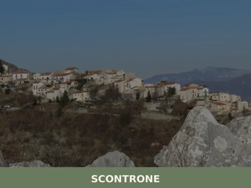
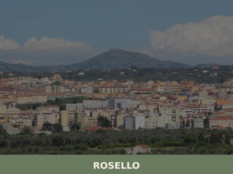
Scontrone
What to See in Scontrone: explore the 5 top attractions in this Abruzzo village, featuring history and nature. Read the guide and plan your visit!
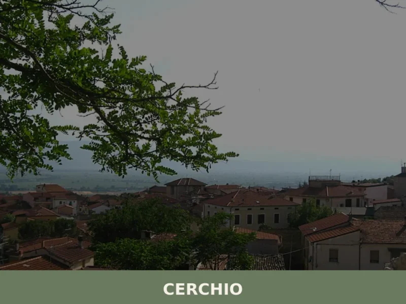
Cerchio
At 834 metres above sea level, on the Fucino plain — the largest lake in central Italy until 1875, when the drainage project commissioned by Prince Alessandro Torlonia transformed the lake bed into agricultural land —, Cerchio has a current population of 1,556 and an economy still tied to those fields reclaimed from the water. […]
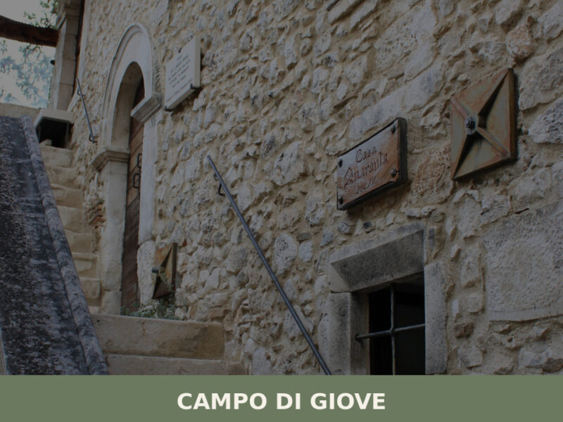
Campo di Giove
A mountain village at 1,064 metres beneath the Majella massif. Discover what to see in Campo di Giove — medieval stone houses, highland pastures, and quiet trails.
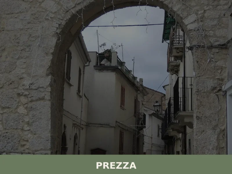
Prezza
What to see in Prezza, Italy: explore a medieval hilltop comune at 480 m, the Praesidium Winery, and the Church of Santa Lucia. Discover Abruzzo's Valle Peligna.
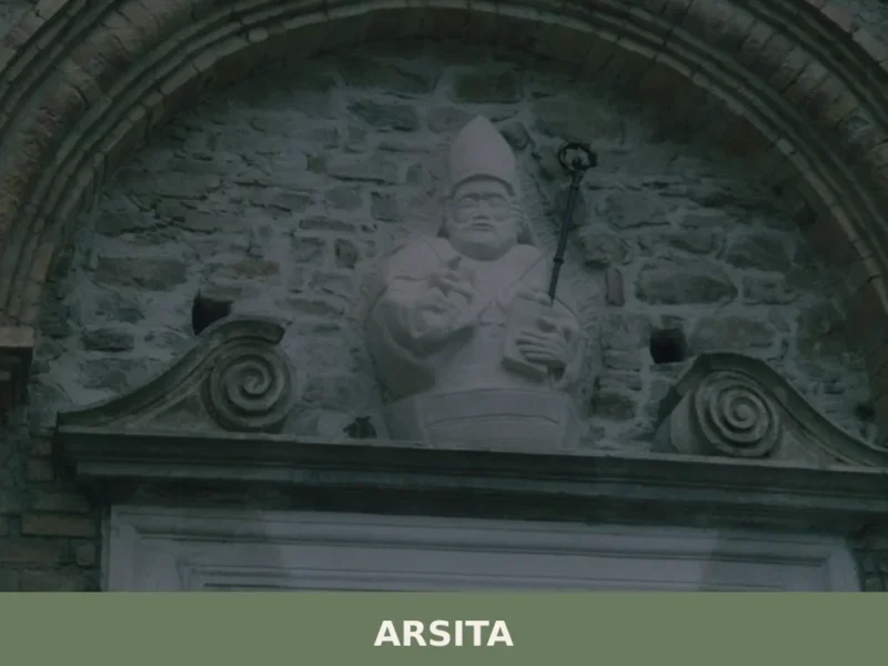
Arsita
Until 1905, this village was called Bacucco, a name likely derived from the Latin bacuca, which referred to olives that had fallen to the ground — a direct reference to the agricultural character of the area. Situated at 470 metres above sea level on the hills of the Teramo province, Arsita and its 733 inhabitants […]
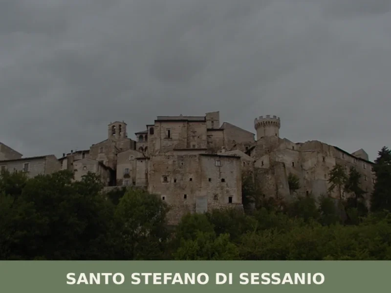
Santo Stefano di Sessanio
What to see in Santo Stefano di Sessanio, Italy: Discover this medieval hill town at 1,250 m (4,101 ft) altitude. Explore its restored Sextantio Albergo Diffuso and taste the renowned gourmet lentils.
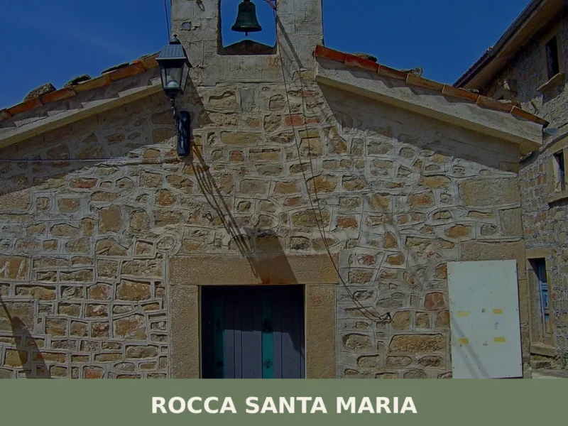
Rocca Santa Maria
what to see in rocca santa maria, Italy. Explore a village of 560 inhabitants within Gran Sasso e Monti della Laga National Park. Discover its mountain frazioni and natural beauty.
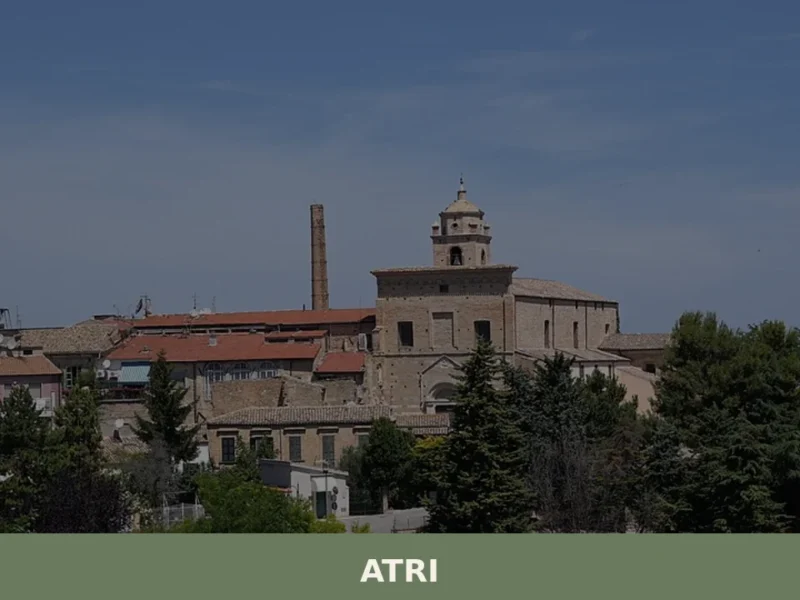
Atri
Atri, in the province of Teramo, stands at 442 meters above sea level, an altitude that allows the city to overlook the Teramo hills. Its origins lie in ancient Hatria, a Picene settlement and later an important Roman municipality, known for minting its own coins as early as the 3rd century BC. This historical richness […]
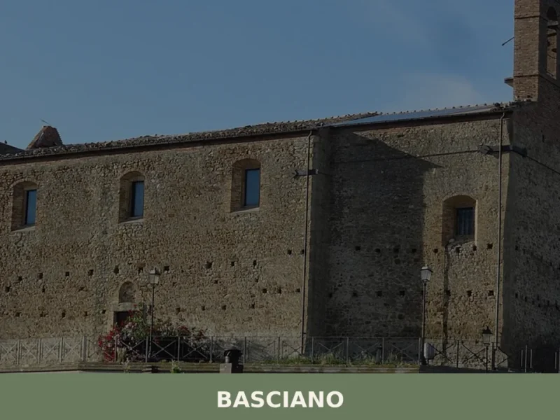
Basciano
What to see in Basciano (Italy) at an altitude of 400m. Explore the historic church and medieval tower. Discover local traditions and festivals.
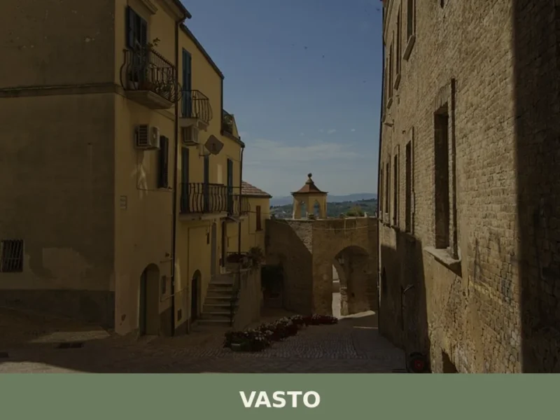
Vasto
With 40,692 inhabitants, Vasto stands on the Abruzzo Adriatic coast, a town that from its promontory at 144 meters above sea level observes a stretch of sea that was a crossroads of cultures and trades. For those wondering what to see in vasto, the answer unfolds among Roman vestiges, Renaissance architecture, and views of the […]


🏡 Know Castelguidone better than we do?
If you’re a local or have been there, your knowledge matters: add what’s missing or fix a detail on this page.