


Angrogna
What to see in Angrogna: Chanforan, the Ghieisa d’la Tana, Waldensian trails, historic hamlets and mountain cuisine. A complete guide to the village.
Discover Angrogna
In 1532, in a clearing in the val d’Angrogna, the synod that would forever change the history of the Waldensians took place: delegates from the Alpine communities voted to join the Protestant Reformation, breaking with centuries of clandestine existence. That place — Chanforan — is today a meadow with a stone tablet, and nothing more. Yet here, in this side valley branching off from the val Pellice just a few kilometres from Torre Pellice, in the province of Turin, every path carries a name and every hamlet preserves a specific role within the Waldensian community organisation. What to see in Angrogna means crossing a territory that has made religious and cultural resistance its very reason for being, with its 872 inhabitants spread across dozens of scattered hamlets between 600 and 1,300 metres in elevation.
History and origins of Angrogna
The place name Angrogna most likely derives from the Latin anguis through Piedmontese dialect forms, or — according to a hypothesis more widely accepted among local linguists — from the pre-Latin root ang-, linked to concepts of narrowness and mountain gorge, a direct reference to the shape of the valley as it cuts between Monte Servin and Monte Castelluzzo. The first documented mention of the territory dates to the 12th century, when the fief was part of the possessions of the Savoy-Acaia family. However, the valley was inhabited well before that: Roman-era finds and traces of early medieval settlements indicate continuous occupation, favoured by the strategic position along routes connecting the Piedmontese plain to the passes towards the French Queyras. In the Middle Ages the territory was divided into numerous hamlets — the so-called “quartieri” — each with specific agricultural and pastoral functions, a structure that still survives today in the place names and the distribution of settlements.
The history of Angrogna is inseparably linked to the Waldensian movement. Founded by Peter Waldo of Lyon around 1170, the movement found a natural refuge in the valleys of the Pellice, Germanasca and Chisone. For centuries the Waldensians lived in semi-clandestine conditions, practising their worship in private homes and in the woods. The turning point came in Angrogna itself: in September 1532, at the assembly of Chanforan, the barba — the itinerant Waldensian preachers — voted to adopt the Calvinist Reformation, also commissioning the translation of the Bible into French by Pierre Robert Olivétan, Calvin’s cousin. That translation, completed in 1535, was the first Protestant Bible in the French language. The consequences were dramatic: persecution intensified, culminating in the so-called “Piedmontese Easter” of 1655, when Savoyard troops massacred hundreds of Waldensians in the valleys. The English poet John Milton wrote a sonnet — On the Late Massacre in Piedmont — that brought the event to the attention of Protestant Europe, prompting Oliver Cromwell to intervene diplomatically.
After the period of persecution, the Waldensian community of Angrogna entered a phase of relative stability starting with the Letters Patent of 17 February 1848, by which Charles Albert of Savoy granted civil and political freedom to the Waldensians and the Jews of the kingdom. That date is still celebrated today as the Waldensian community’s festival. During the 19th century, Angrogna became an important centre for education: for confessional reasons, the Waldensians had developed a widespread school network well before the Casati Law of 1859, and the literacy rate in the Waldensian valleys far exceeded the national average. In the 20th century the village, like many mountain areas, suffered severe depopulation — from over 2,500 inhabitants at the start of the century to the current 872 — but maintained significant community cohesion, documented by the survival of cultural associations, agricultural cooperatives and reception facilities linked to the Waldensian diaconia.
What to see in Angrogna: 5 top attractions
1. The Chanforan meadow
Reachable on foot from the hamlet of Serre via a signposted path of about 40 minutes, the Chanforan meadow lies at approximately 1,050 metres on the left-hand slope of the valley. A stone stele and a commemorative plaque mark the synod of 1532. There is no monumental structure, and it is precisely this simplicity that conveys the meaning of a form of worship practised in the open air, without sacred buildings. The meadow is accessible year-round, although in winter months the path may have icy stretches. Every year in September a public commemoration is held there with readings and hymns. It is the symbolic site of the entire valley and one of the most significant places of Protestant memory in Europe.
2. The Waldensian Museum of Angrogna – Scuola Odin-Bertot
In the hamlet of Odin-Bertot, at around 900 metres in elevation, a 19th-century Waldensian school building houses a museum trail dedicated to the daily life of the community. The rooms contain original school benches, period teaching materials, handwritten school registers and agricultural tools. The museum documents the extensive Waldensian educational network, which operated in French — the community’s official language until the 20th century — and reached even the most isolated hamlets. Opening hours vary by season; in the summer months it is generally open on weekends and by appointment for groups. Admission is by voluntary donation.
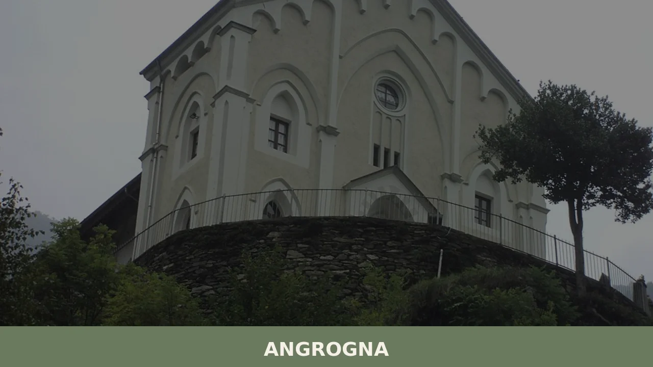
3. The Waldensian temples and the Ghieisa d’la Tana
Angrogna has several Waldensian places of worship scattered across its hamlets. But the most remarkable site is the so-called Ghieisa d’la Tana, a natural rock cavity used as a clandestine place of prayer during the centuries of persecution. It is reached by a path starting from the hamlet of Pradeltorno, about an hour’s walk over rough terrain. The cave, large enough to hold several dozen people, retains its natural formation with no visible architectural intervention. It represents in tangible terms the conditions under which the Waldensian faith was practised for generations, concealed among the rocks and woods of the valley.
4. The Waldensian trails – GTA and historical routes
Angrogna’s trail network extends for over 60 kilometres, connecting the hamlets to each other and to the surrounding ridges. The local section of the Glorioso Rimpatrio — the route along which exiled Waldensians returned from Geneva to their valleys in 1689 — crosses the municipal territory. The GTA trail (Grande Traversata delle Alpi) also passes through the area. The most popular routes connect the valley floor to the hamlet of Pradeltorno, the Colle della Vaccera and Chanforan. Signage is maintained by the CAI val Pellice section and the local association Sentieri Balcone. Elevation gains range from 200 to 700 metres, with difficulty levels from easy hiking to moderate.
5. The historic hamlets: Pradeltorno, Serre, Martel
The municipality of Angrogna has no compact town centre: it is an archipelago of hamlets, each with its own identity. Pradeltorno, in the upper part of the valley, preserves buildings in local stone with lose roofs — slabs of gneiss — and communal bread ovens. Serre, the seat of the town hall, serves as the administrative hub. Martel, more isolated, retains an almost intact rural layout, with stables, barns and terraced vegetable gardens. Walking through these hamlets allows you to read the functional architecture of the Waldensian mountains: thick walls, small south-facing openings, stone fountains and irrigation channels still in working order. The municipal website provides updated maps of the routes between hamlets.
Local cuisine and regional products
The table at Angrogna reflects a subsistence mountain economy that has been transformed, in recent decades, into niche production. The most representative dish of the valley tradition is supa barbetta, a thick soup made with stale bread, vegetable broth, melted butter and local cheese — seirass del fen or alpine tome — that was consumed daily in farming families. Alongside this, local cuisine features calhettes, cabbage-leaf rolls stuffed with potatoes, rice and pork, a dish shared with the other communities of the Waldensian valleys. Potatoes, grown on terraces up to 1,200 metres, are an omnipresent ingredient: fried, in gnocchi, or as triffola, a pan-cooked preparation with onion and butter.
Among certified local products, Saras del Fen stands out — an aged ricotta wrapped in mountain hay, recognised as a Traditional Agri-Food Product (PAT) by the Piedmont Region. The hay gives the ricotta a distinctive herbaceous aroma and allows it to be preserved for several weeks. The alpine tome cheeses of the val d’Angrogna, produced in the summer months when herds move up to the high pastures, belong to the dairy tradition of Tome Piemontesi. Chestnut honey and mountain wildflower honey are another significant product, given the prevalence of chestnut groves in the altitude range between 500 and 900 metres. Rye bread, baked in the communal ovens of the hamlets, remains a living tradition, though limited to a few occasions each year and cultural recovery initiatives.
There is no major food festival within the municipal territory, but the feast of San Lorenzo on 10 August traditionally includes an outdoor communal meal featuring dishes from the local tradition. In nearby Torre Pellice and Luserna San Giovanni — reachable in a few minutes — there are restaurants and agriturismi offering menus based on Waldensian valley cuisine. To buy local products, the weekly market in Torre Pellice on Saturday mornings has stalls selling cheeses, honey, bread and preserves from the area. Some farms in Angrogna offer direct sales, especially in the summer months.
When to visit Angrogna: the best time of year
The valley of Angrogna has a mountain climate with cold, snowy winters — January temperatures regularly drop below zero in the higher hamlets — and cool summers, with highs that rarely exceed 25 degrees in the valley floor. The best period for hiking runs from May to October. In May the meadows are in bloom and the trails are generally passable, although at higher elevations residual snow may persist until June. July and August offer the best conditions for reaching Chanforan, the Ghieisa d’la Tana and the upper hamlets; during these weeks daylight lasts until late and the long days allow for demanding traverses. September brings settled weather and the colours of early autumn on the beeches and larches, with fewer people on the trails.
17 February, the Waldensian freedom festival, is a significant date: processions accompanied by bonfires on the heights — the so-called falò della libertà — light up the valley and the communities gather in the temples for public celebrations. On 10 August, the feast of San Lorenzo coincides with the Perseid meteor shower and lends itself to evenings outdoors. In autumn, the chestnut harvest brings the hamlets to life between October and November. Winter is the least suitable period for visitors without experience of winter mountain conditions: the municipal roads to the upper hamlets may be impassable, and tourist services are reduced to a minimum. Those who practise snowshoeing or cross-country skiing can find interesting conditions, provided they are self-sufficient in planning.
How to reach Angrogna
Angrogna is reached by car from the A55 motorway (Turin–Pinerolo), continuing on the SP 161 towards Luserna San Giovanni and Torre Pellice; from Torre Pellice, turn left following signs for the val d’Angrogna. The distance from Turin is about 60 kilometres, covered in roughly one hour and ten minutes under normal conditions. From Milan, via the A4 motorway to Turin and then the A55, the total journey is approximately 230 kilometres. The internal municipal roads are narrow and require caution, especially on the stretches leading to the upper hamlets.
The nearest railway station is Torre Pellice, served by the Turin Porta Nuova – Torre Pellice line operated by Trenitalia, with a travel time of approximately one hour and forty minutes. From Torre Pellice there is no regular public transport service to Angrogna: a private vehicle or taxi is required. The closest airport is Turin-Caselle, about 85 kilometres away and reachable in an hour and a half. For those arriving from the south, the alternative is Cuneo-Levaldigi airport, approximately 90 kilometres away.
Other villages to discover in Piedmont
Those wishing to deepen their knowledge of mountain Piedmont can build an itinerary that extends from the val Pellice towards other Alpine communities in the province of Turin. Alpette, in the Canavese area, offers an interesting point of comparison: it shares with Angrogna the condition of a small mountain municipality with a reduced population, but its history is tied to the Catholic tradition and Alpine metalworking rather than to the Waldensian story. The landscape changes radically: while Angrogna is a valley carved between steep, wooded slopes, Alpette opens onto gentler grasslands with views towards the Canavese plain. The two villages represent two different ways of inhabiting the Piedmontese mountains, and visiting them in sequence allows you to gauge the cultural variety within a single region.
Moving eastward, Albiano d’Ivrea takes the journey into an entirely different register: we are in the morainic hill belt of the Ivrea amphitheatre, among vineyards and lakes of glacial origin, with an architectural heritage that reflects the proximity to the Via Francigena and the commerce of the plain. From Angrogna to Albiano d’Ivrea the drive takes about one hour and forty minutes, through Pinerolo and the Turin–Aosta motorway: a route that crosses three distinct landscapes — mountain, plain, morainic hills — and three profoundly different economic and social histories. For those with three or four days available, a circuit taking in Angrogna, Alpette and Albiano d’Ivrea composes a layered narrative of lesser-known Piedmont, the kind that does not appear in the most widely circulated guides but that forms the real backbone of the territory.
Frequently asked questions about Angrogna
What is the best time to visit Angrogna?
The ideal months are June to September, when trails are fully accessible and the hamlets are at their most lively. July and August offer the best conditions for hiking to Chanforan and the Ghieisa d'la Tana. The feast of San Lorenzo on 10 August is a key date, with an outdoor communal meal featuring local dishes. September is particularly meaningful for Waldensian heritage: the annual commemoration at Chanforan meadow, marking the 1532 synod, takes place that month with readings and hymns.
What are the historical origins of Angrogna?
The name Angrogna likely derives from a pre-Latin root ang-, referring to a narrow mountain gorge. The territory was inhabited in Roman and early medieval times, and first documented in the 12th century as part of Savoy-Acaia holdings. Angrogna became the spiritual heart of the Waldensian movement: in September 1532, at Chanforan, the Waldensian synod voted to join the Protestant Reformation, commissioning the first French Protestant Bible. The 1655 Piedmontese Easter massacre and the 1848 Letters Patent granting civil freedoms are further milestones in the village's documented history.
What to see in Angrogna? Main monuments and landmarks
The top site is the Chanforan meadow (c. 1,050 m), marked by a stone stele, reachable in about 40 minutes on foot from Serre — open year-round, free entry. The Waldensian Museum at Odin-Bertot (c. 900 m) occupies a 19th-century school building with original furnishings and tools; open weekends in summer, by appointment for groups, voluntary donation. The Ghieisa d'la Tana, a natural rock cave used for clandestine worship, is about one hour's walk from Pradeltorno over rough terrain. The stone hamlets of Pradeltorno, Serre and Martel complete the visit.
What are the main natural or scenic attractions of Angrogna?
Angrogna offers over 60 kilometres of marked trails ranging from easy valley-floor walks to moderate ridge routes with elevation gains up to 700 metres. The local section of the Glorioso Rimpatrio historical route — commemorating the Waldensians' return from exile in 1689 — crosses the municipality. The Grande Traversata delle Alpi (GTA) also passes through the area. Key destinations include the Colle della Vaccera and Pradeltorno in the upper valley. Signage is maintained by CAI val Pellice and the Sentieri Balcone association.
Where to take the best photos in Angrogna?
The most evocative shots are taken at the Chanforan meadow, where the stone stele stands against open alpine pasture at around 1,050 metres. The hamlet of Pradeltorno, with its gneiss-slab roofs, stone fountains and terraced gardens framed by the upper valley, offers strong architectural compositions. The path from Pradeltorno to the Ghieisa d'la Tana passes through dense woodland that provides striking light at mid-morning. Ridgeline routes towards the Colle della Vaccera yield panoramic views across the val Pellice and towards the French Alps.
Are there museums, churches or historic buildings to visit in Angrogna?
The Waldensian Museum at Odin-Bertot is the main indoor cultural site, housed in an original 19th-century school building with period benches, school registers and agricultural tools documenting Waldensian community life. Opening hours vary by season; summer weekends and group bookings by appointment; voluntary donation. Angrogna also has several Waldensian temples distributed across its hamlets. The Ghieisa d'la Tana, a natural rock cavity used as a clandestine place of worship for centuries, functions as a living historical monument, accessed by foot from Pradeltorno.
What can you do in Angrogna? Activities and experiences
Hiking is the primary activity, with routes graded from easy to moderate connecting hamlets, meadows and ridges maintained by CAI val Pellice. Walking the Glorioso Rimpatrio historical route offers a combined trekking and heritage experience. Visiting the Chanforan meadow in September during the annual Waldensian commemoration adds a cultural dimension. The feast of San Lorenzo on 10 August includes an outdoor communal meal with traditional dishes. The Waldensian Museum at Odin-Bertot is suitable for guided group visits by appointment. Chestnut groves between 500 and 900 metres are pleasant for autumn walks.
Who is Angrogna suitable for? Families, couples, hikers, solo travelers?
Angrogna is best suited to hikers and visitors interested in religious and cultural heritage, particularly Waldensian and Protestant history. Couples seeking quiet mountain landscapes with walking routes of varying difficulty will find it rewarding. History enthusiasts and those following the Glorioso Rimpatrio itinerary are well served. Families with children can manage the easier paths to Chanforan from Serre. It is less suitable for visitors seeking lively nightlife or resort-style amenities. The dispersed hamlet structure and limited services make it ideal for slow, independent travel rather than large group tourism.
What to eat in Angrogna? Local products and specialties
The valley's signature dish is supa barbetta — a hearty soup of stale bread, vegetable broth, butter and local cheese eaten in farmhouse tradition. Calhettes are cabbage-leaf rolls filled with potatoes, rice and pork, shared across the Waldensian valleys. Saras del Fen, an aged ricotta wrapped in mountain hay and recognised as a Traditional Agri-Food Product (PAT) by the Piedmont Region, is the most distinctive local cheese. Alpine tome cheeses from summer pastures, chestnut and wildflower honey, and rye bread baked in communal hamlet ovens round out the local food culture.
Nearby Villages near Angrogna
In Piedmont More villages to discover
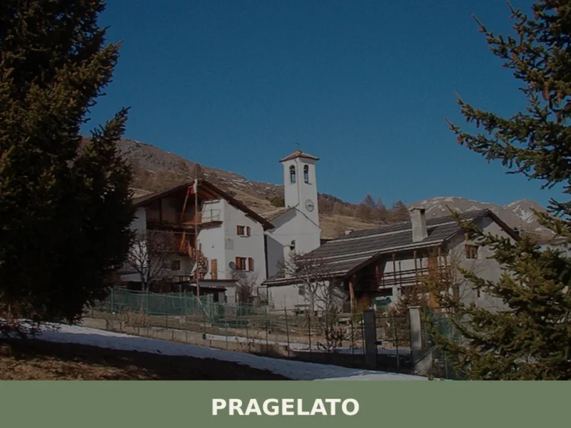
Pragelato
Pragelato sits at around 1,524 metres above sea level in Val Chisone, approximately 82 kilometres west of Turin, and its Occitan name — Pradzalà or Prajalats — translates directly as “frozen meadow”, a reference to the high-altitude pastures that define the landscape here. With a resident population of 692, this is a compact Alpine commune […]

Acceglio
Discover what to see in Acceglio, a 170-resident mountain village at the head of Valle Maira in Cuneo, Piemonte — trails, churches, alpine pastures and local food.
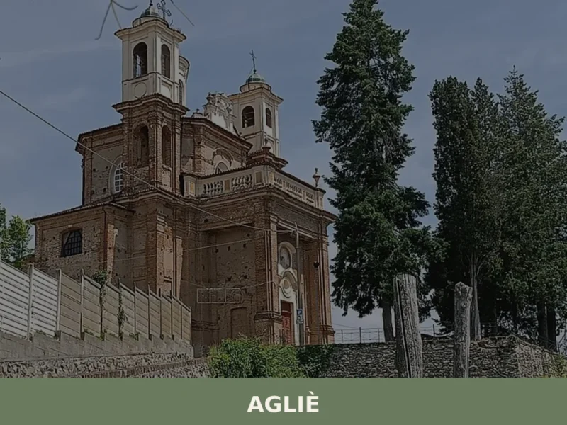
Agliè
In 1646, Count Filippo San Martino d’Agliè — diplomat, poet, choreographer at the court of Christine of France — danced in the great hall of the castle that bears his name, directing baroque festivities destined to reshape Savoyard court ceremony. That castle still dominates the village’s skyline today with its eighteenth-century façade stretching over one […]
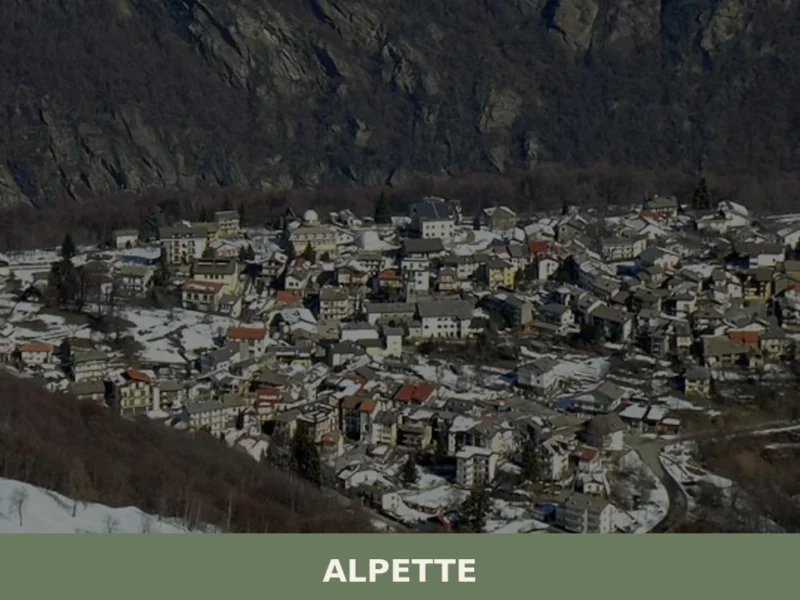
Alpette
At 957 metres above sea level, on the eastern slope of Gran Paradiso, Alpette has 251 inhabitants spread between the central settlement and a handful of hamlets scattered along the pastures that climb towards Cima Quinzeina. Those looking into what to see in Alpette will find a village built almost entirely from local stone and […]
Foglizzo
Scopri Foglizzo, affascinante borgo del Piemonte ricco di storia, tradizioni e paesaggi mozzafiato. Una meta imperdibile per chi ama l'Italia autentica.
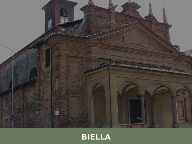
Biella
what to see in biella, Italy? Explore the UNESCO Sanctuary of Oropa and Biella's historic 420m altitude Piazzo quarter. Read our guide for top attractions.
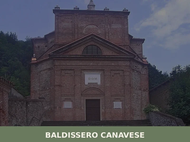
Baldissero Canavese
Baldissero Canavese has a population of 515 and stands at 392 metres on the hillside of the Canavese area, in the north-eastern corner of the Province of Turin, a short distance from the Piedmontese regional capital. The village is part of the Canavese settlement system, one of the historically densest areas in the region for […]
Barbania
What to see in Barbania: 5 attractions in this Piedmontese village, from the parish church to the castle. Discover the complete guide to plan your visit.
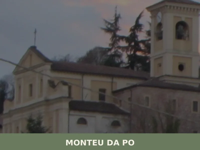
Monteu da Po
Scopri Monteu da Po, affascinante borgo piemontese sulle rive del Po. Storia, natura e tradizioni in un angolo autentico del Piemonte da non perdere.
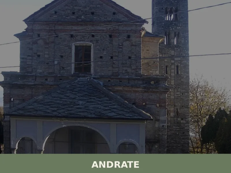
Andrate
What to see in Andrate in Piedmont: panoramic views over the Serra d'Ivrea, trails, chestnut groves, Canavese cuisine. Complete guide with history and practical information.


🏡 Know Angrogna better than we do?
If you’re a local or have been there, your knowledge matters: add what’s missing or fix a detail on this page.