


Castiglione Chiavarese
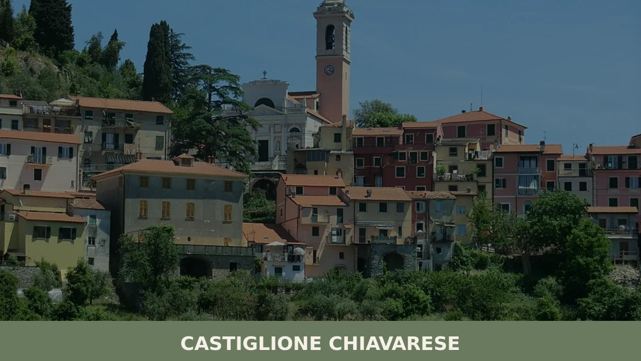
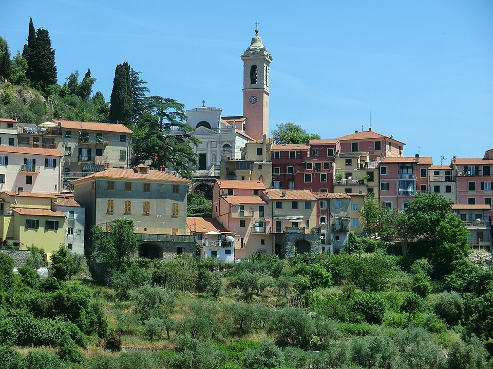
Castiglione Chiavarese sits at 271 metres above sea level in the province of Genova, its 1,586 inhabitants spread across a constellation of hamlets — or frazioni — that dot the hillsides above the Petronio valley. The comune’s territory stretches from the Ligurian ridge down toward the coast between Sestri Levante and Moneglia, covering a patchwork […]
Discover Castiglione Chiavarese
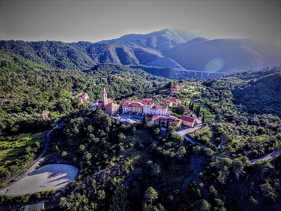
Castiglione Chiavarese sits at 271 metres above sea level in the province of Genova, its 1,586 inhabitants spread across a constellation of hamlets — or frazioni — that dot the hillsides above the Petronio valley. The comune’s territory stretches from the Ligurian ridge down toward the coast between Sestri Levante and Moneglia, covering a patchwork of chestnut woodland, olive groves, and terraced slopes held together by dry-stone walls. Understanding what to see in Castiglione Chiavarese begins with this geography: a settlement defined not by a single centre but by the relationships between its scattered communities.
History of Castiglione Chiavarese
The name itself encodes the village’s past. “Castiglione” derives from the Latin castellum — a small fortification — while “Chiavarese” signals the historical administrative link to the nearby town of Chiavari, which served as the seat of regional governance under the Republic of Genoa. The suffix distinguishes this Castiglione from the dozens of others across Italy, a common necessity given that the toponym appears in nearly every Italian region.
During the medieval period, the territory fell under the feudal control of the Fieschi family, the powerful Guelph dynasty whose influence radiated from the county of Lavagna across much of eastern Liguria. The Fieschi held lands here as part of a broader network of castles, churches, and trade routes that connected the interior valleys with the coast. Their political fortunes rose and fell with the Republic of Genoa — culminating in the failed Fieschi conspiracy of 1547 — but their imprint on the local landscape persisted long after their power waned. Parish churches, boundary markers, and the orientation of mule tracks all carry evidence of this feudal organisation.
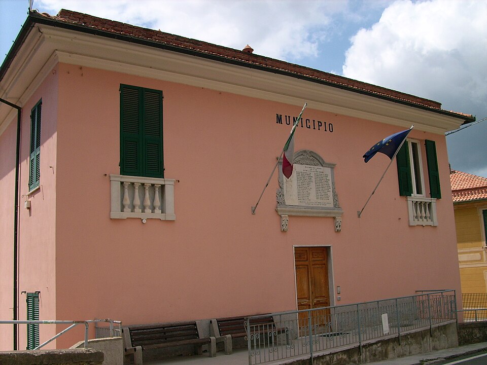
By the early modern period, Castiglione Chiavarese had settled into the agricultural rhythm that would characterise it for centuries: olive oil production, chestnut harvesting, and small-scale viticulture on terraces carved into the steep hillsides. The comune in its current administrative form dates to the Napoleonic reorganisation of Ligurian municipalities, later confirmed under the Kingdom of Sardinia and, after 1861, the unified Italian state.
What to See in Castiglione Chiavarese: 5 Attractions Worth Your Time
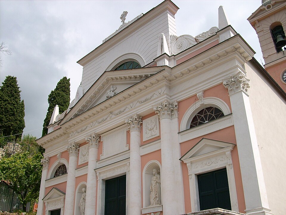
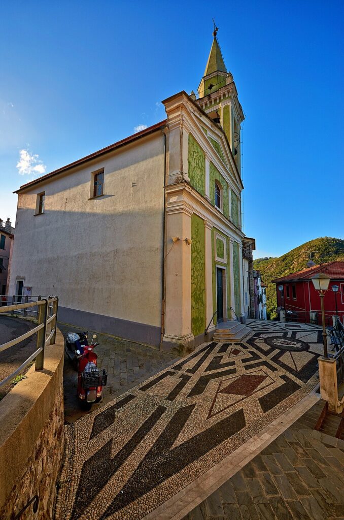
1. The Parish Church of San Giovanni Battista (Missano)
Located in the frazione of Missano, this parish church serves as one of the principal religious buildings in the comune. Its interior contains works characteristic of Ligurian ecclesiastical art. The structure underwent modifications over several centuries, and its current form reflects the rebuilding campaigns common to rural churches in the Genova province during the Baroque period.
2. The Petronio Valley and Its Dry-Stone Terraces
The valley of the Petronio stream defines the lower portion of the comune’s territory. The hillsides are lined with dry-stone terracing — locally called fasce — built without mortar, a construction technique recognised by UNESCO as intangible cultural heritage. These walls support olive trees, vegetable plots, and remnant vineyards. Walking the network of footpaths between terraces reveals a working agricultural infrastructure still partially in use.
3. The Frazioni: Velva, Campegli, and Massasco
Castiglione Chiavarese is not one village but many. Each frazione maintains its own small church, communal fountain, and settlement pattern. Velva, in the upper portion of the comune, sits at a higher elevation and offers clear views toward the Ligurian Apennines. Campegli lies closer to the coast. Moving between them on foot reveals how each community adapted to its specific microclimate and slope.
4. The Network of Footpaths and Mule Tracks
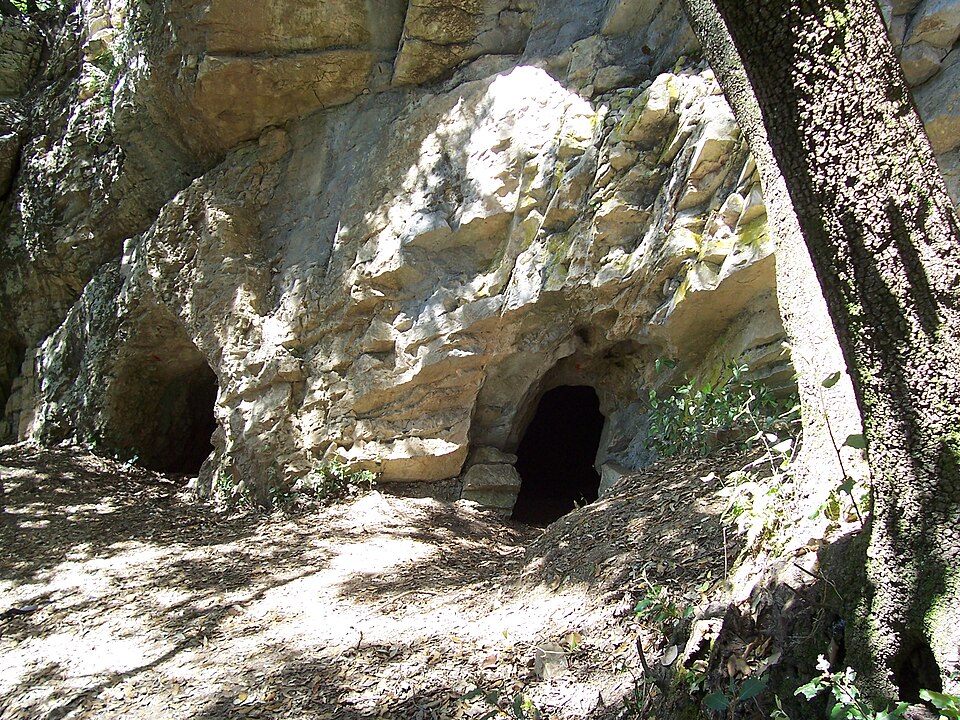
A web of crêuze — the narrow, stone-paved paths characteristic of rural Liguria — connects the hamlets and links the hill settlements to the coast. Several of these paths intersect with segments of the Alta Via dei Monti Liguri, the long-distance trail running along the Ligurian ridge. The paths pass through chestnut forests, across stream beds, and along the edges of cultivated terraces, offering a practical way to cover the comune’s territory on foot.
5. The Olive Groves of Eastern Liguria
The olive trees in the Castiglione Chiavarese area belong to cultivars typical of the Riviera di Levante, including the Lavagnina variety. These groves, many of them centuries old, produce the oil that falls within the broader Riviera Ligure DOP designation. The trees themselves — gnarled, low-canopy, clinging to terraced slopes — are a defining element of the visual landscape, and their seasonal cycle structures the local calendar from pruning in late winter to harvest in autumn.
Local Food and Typical Products
The cuisine of Castiglione Chiavarese reflects the practical economy of Ligurian hill communities. Olive oil is the foundational ingredient, used in everything from the preparation of focaccia to the dressing of wild herbs gathered on the hillsides. Chestnut flour, once a staple carbohydrate in the Apennine valleys, still appears in local baking — in castagnaccio (a dense, unleavened chestnut cake) and in certain types of pasta. Pesto alla genovese, the basil-and-pine-nut sauce universal to the province, features here as elsewhere in the Genova territory, though the basil grown at this altitude tends toward smaller leaves with a more concentrated flavour.
The surrounding area produces wines under the Colline di Levanto and Golfo del Tigullio-Portofino DOC designations. Local trattorias, often family-run and operating on limited schedules, serve dishes built around seasonal ingredients: wild mushrooms in autumn, fresh vegetables from terraced gardens in summer. Visitors should verify opening times in advance, particularly outside the summer months, as some establishments operate only on weekends or by reservation during the quieter periods of the year.
Best Time to Visit Castiglione Chiavarese
The climate follows the Mediterranean pattern modified by altitude: summers are warm but less intense than on the coast, winters mild by Italian inland standards but cooler than the seafront towns a few kilometres south. Spring — April through early June — brings wildflowers to the terraces and manageable temperatures for walking. Autumn, particularly October and November, is the season of olive harvest and chestnut gathering, and the hillsides take on the deep colour palette of deciduous woodland mixed with evergreen Mediterranean scrub.
Local festivals and sagre (food festivals) tend to cluster between late spring and early autumn, often organised by individual frazioni. These events typically centre on a single product — chestnuts, olive oil, or a particular dish — and operate as community fundraisers with food stalls, local wine, and sometimes live music. Checking the official municipality website before visiting provides the most reliable calendar of events. For those interested in walking the footpath network, the months from April to October offer the most reliable conditions, though the paths can be muddy after sustained rain at any time of year.
How to Get to Castiglione Chiavarese
By car, the most direct route follows the A12 motorway (Genova–Livorno), exiting at Sestri Levante. From the motorway exit, a provincial road climbs inland to the comune — a drive of approximately 15 minutes depending on destination frazione. Genova is roughly 55 kilometres to the northwest; La Spezia lies about 40 kilometres to the southeast. The nearest airports are Genova Cristoforo Colombo (GOA), approximately one hour by car, and Pisa Galileo Galilei (PSA), roughly two hours southeast.
The nearest railway station is Sestri Levante, on the Genova–La Spezia line, served by both regional and some intercity trains. From the station, reaching Castiglione Chiavarese requires a local bus (operated by ATP Esercizio, the provincial transport company) or a taxi. Bus frequency is limited, particularly on Sundays and holidays, so visitors relying on public transport should plan connections carefully. A car provides considerably more flexibility, especially for reaching the upper frazioni and trailheads.
More Villages to Discover in Liguria
Castiglione Chiavarese belongs to a broader constellation of Ligurian hill villages that share construction techniques, agricultural traditions, and a common relationship with the difficult terrain of the Apennine-coast transition zone. Exploring this territory means understanding how geography dictated settlement patterns across the entire region — from the Riviera di Levante in the east to the Riviera di Ponente in the west, where the character of the villages shifts with the changing landscape.
On the western side of Liguria, Apricale, in the province of Imperia, offers a useful point of comparison: a compact, hill-crest settlement with a markedly different urban form from the dispersed hamlets of Castiglione Chiavarese. Where Castiglione spreads across multiple frazioni adapted to valley and slope, Apricale concentrates its buildings into a tight cluster of stone houses rising above the Merdanzo stream. The contrast illustrates how Ligurian communities responded to varied topographies with distinct architectural solutions. Both villages reward slow, attentive exploration on foot — the only way to register the details of construction, cultivation, and daily life that define these places.
Frequently asked questions about Castiglione Chiavarese
What is the best time to visit Castiglione Chiavarese?
Spring (April to early June) is ideal for walking the footpath network, with wildflowers on the terraces and mild temperatures. Autumn (October–November) is the most atmospheric season: olive harvest and chestnut gathering are underway, and the hillsides display rich woodland colours. Local sagre and festivals cluster between late spring and early autumn, often organised by individual frazioni around seasonal products such as chestnuts and olive oil. The village's patron is the Madonna del Carmine. Summer is pleasant and less intense than the nearby coast, thanks to the 271-metre altitude.
What are the historical origins of Castiglione Chiavarese?
The name derives from the Latin castellum (a small fortification) combined with 'Chiavarese', reflecting its historical administrative ties to Chiavari under the Republic of Genoa. During the medieval period, the territory was controlled by the Fieschi family, a powerful Guelph dynasty whose network of castles and trade routes connected the interior valleys to the Ligurian coast. Their influence ended with the failed Fieschi conspiracy of 1547. The comune's current administrative boundaries were established during the Napoleonic reorganisation of Ligurian municipalities and confirmed after Italian unification in 1861.
What to see in Castiglione Chiavarese? Main monuments and landmarks
Key attractions include the Parish Church of San Giovanni Battista in the frazione of Missano, which contains Ligurian ecclesiastical artworks and reflects Baroque rebuilding campaigns typical of the Genova province. The dispersed frazioni themselves — Velva, Campegli, and Massasco — each preserve small churches, communal fountains, and traditional settlement patterns. The UNESCO-recognised dry-stone terracing (fasce) lining the Petronio valley is a defining landscape feature. Admission to outdoor areas and footpaths is free; verify church opening times locally, as schedules vary.
What are the main natural or scenic attractions of Castiglione Chiavarese?
The Petronio valley offers a landscape of chestnut woodland, olive groves, and dry-stone terraces that is partly intersected by segments of the Alta Via dei Monti Liguri, the long-distance ridge trail recognised by the CAI. A network of crêuze — narrow stone-paved mule tracks — connects the hillside frazioni and passes through forests, stream beds, and cultivated slopes. The comune's territory descends from the Ligurian Apennine ridge toward the coast between Sestri Levante and Moneglia, providing varied terrain for walkers across different elevations.
Where to take the best photos in Castiglione Chiavarese?
The frazione of Velva, positioned at the highest elevation within the comune, offers clear views toward the Ligurian Apennines and is a strong vantage point for landscape photography. The dry-stone terracing along the Petronio valley — especially during olive harvest in October and November — provides distinctive foreground detail against a backdrop of woodland and hillside. The crêuze connecting the frazioni, flanked by ancient dry-stone walls and chestnut trees, offer characteristic images of traditional rural Liguria at any season.
Are there museums, churches or historic buildings to visit in Castiglione Chiavarese?
The principal documented religious building is the Parish Church of San Giovanni Battista in Missano, containing works of Ligurian ecclesiastical art and bearing evidence of Baroque reconstruction campaigns. Each of the main frazioni — Velva, Campegli, Massasco — also maintains its own small church. No dedicated museum facility is documented for the comune. Opening times for the churches are not standardised and are best confirmed locally or through the municipal website before visiting.
What can you do in Castiglione Chiavarese? Activities and experiences
Walking is the primary activity: the network of crêuze and mule tracks connects all the main frazioni and links into segments of the Alta Via dei Monti Liguri ridge trail, suitable for day hikes. The paths are accessible from April to October in the best conditions. In autumn, the olive harvest and chestnut gathering give the visit an agricultural dimension. Local sagre organised by individual frazioni offer food stalls, local wine, and community events between late spring and early autumn; confirm dates on the municipal website.
Who is Castiglione Chiavarese suitable for? Families, couples, hikers, solo travellers?
Castiglione Chiavarese suits hikers and walkers who want to explore a working Ligurian hill landscape away from coastal crowds. The network of crêuze and connections to the Alta Via dei Monti Liguri make it particularly well-matched to experienced walkers and outdoor enthusiasts. Couples and slow-travel visitors seeking authentic rural atmosphere, local food, and seasonal rhythms will also find it rewarding. Families should note that the terrain is hilly and paths can be steep; a car is strongly recommended, especially with children, to reach the upper frazioni.
What to eat in Castiglione Chiavarese? Local products and specialties
Olive oil from the Riviera di Levante falls under the Riviera Ligure DOP designation, with the Lavagnina cultivar typical of this area. Chestnut flour appears in traditional preparations including castagnaccio (a dense unleavened chestnut cake) and certain local pastas. Pesto alla genovese is universal across the province. Wines from the surrounding area include the Golfo del Tigullio-Portofino DOC. Local trattorias, typically family-run, serve seasonal menus featuring wild mushrooms in autumn and terraced-garden vegetables in summer; reservations are advisable, especially outside summer.
📷 Photo Gallery — Castiglione Chiavarese

Nearby Villages near Castiglione Chiavarese
In Liguria More villages to discover
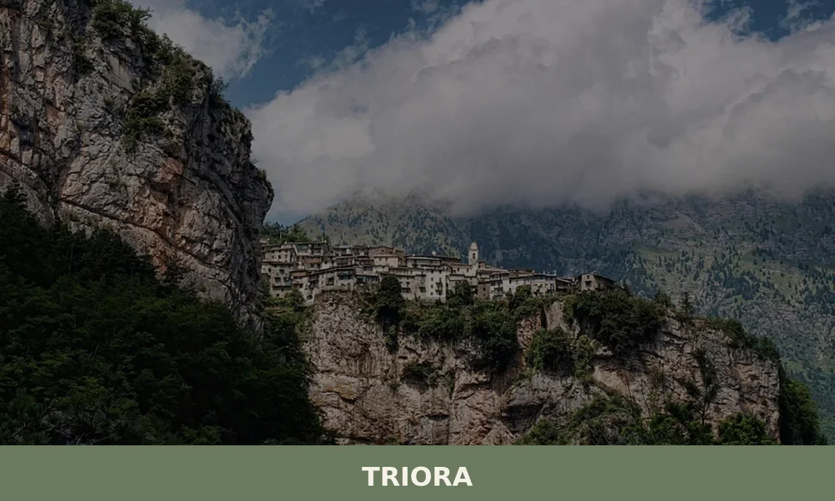
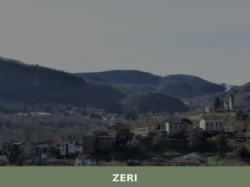
Triora
what to see in triora, Italy: Explore this historic village, home to 416 residents, and discover its ancient witch trials history and vibrant August festival. Plan your visit today.
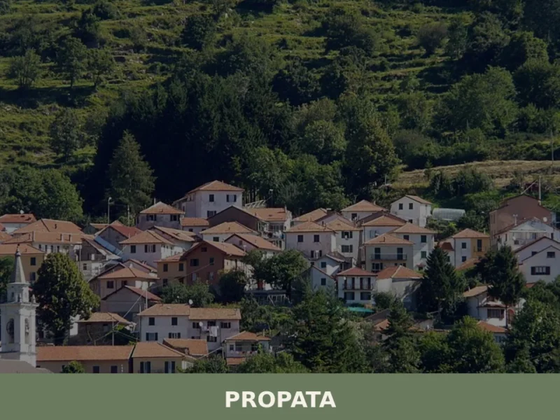
Propata
What to see in Propata, Italy: Discover the parish church and its Maragliano statue in this Ligurian village of 156 inhabitants. Explore its history.
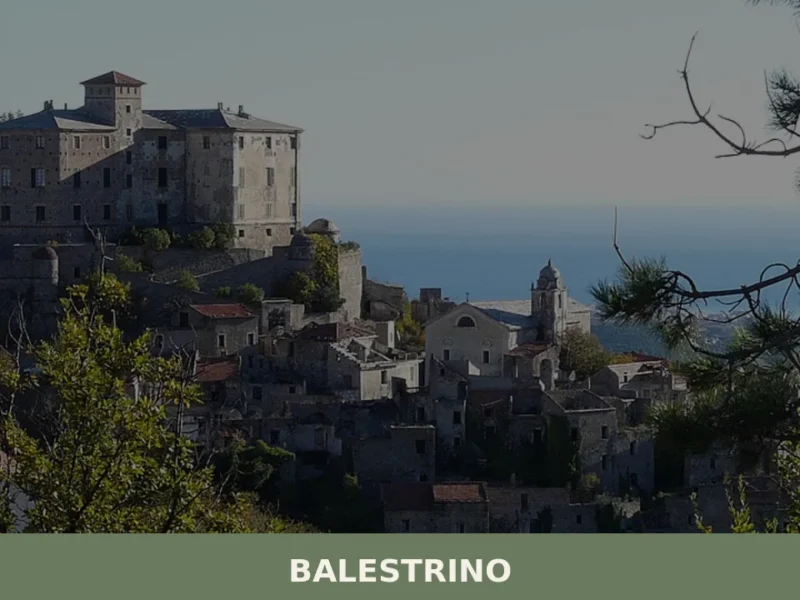
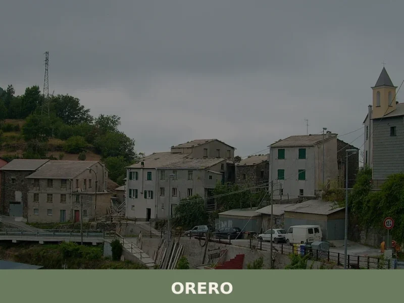
Balestrino
In 1963 a landslide forced the evacuation of the upper part of Balestrino, leaving the old village uninhabited and intact in its sixteenth- and seventeenth-century structure. Today the municipality has 530 residents, spread between the modern settlement in the valley below and the hillside hamlets, at 371 metres above sea level on the ridge separating […]
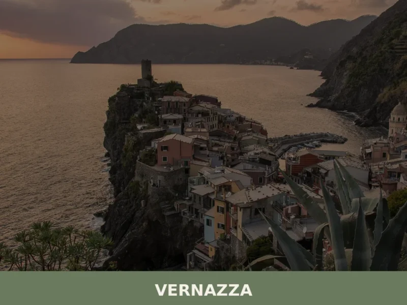
Vernazza
What to see in Vernazza, Liguria, Italy: Doria Castle, Santa Margherita Church and the only natural port of Cinque Terre. Explore a village of 899 inhabitants. Discover now.
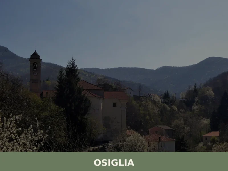
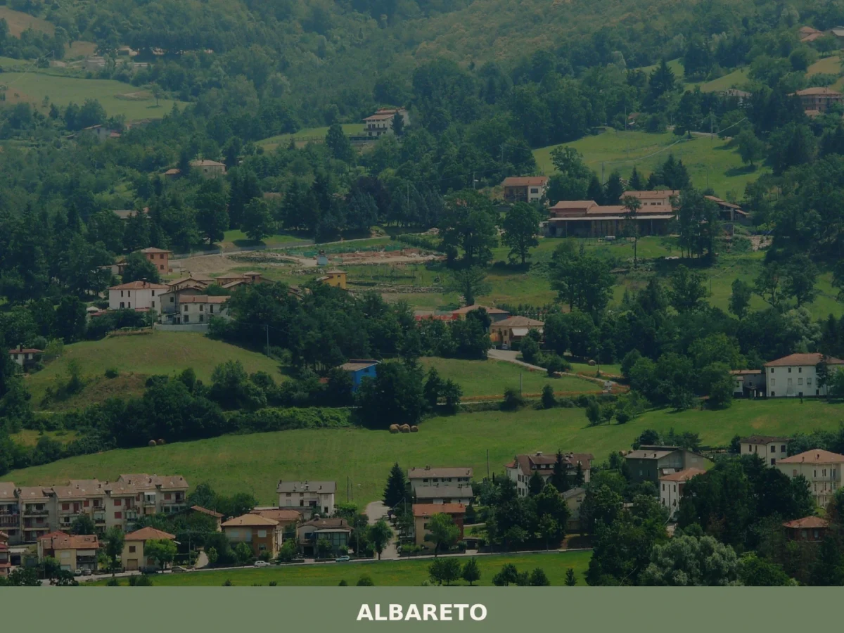
Osiglia
What to see in Osiglia, Italy? Explore this Ligurian comune of 458 inhabitants, 25 km (16 mi) from Savona. Discover its mountainous surroundings and tranquil environment.
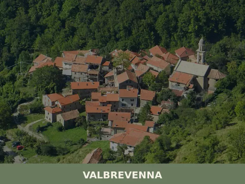
Valbrevenna
what to see in valbrevenna, Italy: Explore the Ligurian Apennines. With 817 inhabitants, discover hiking in Antola Park and traditional hamlets. Read our guide.
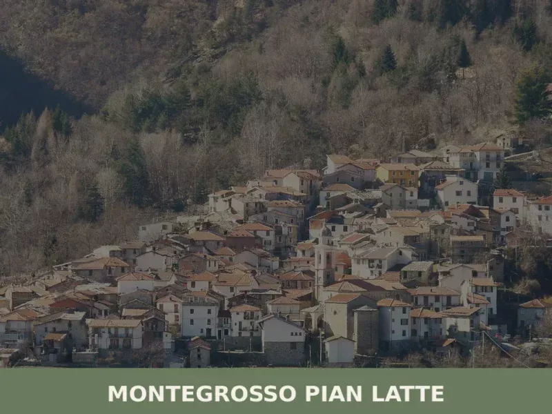
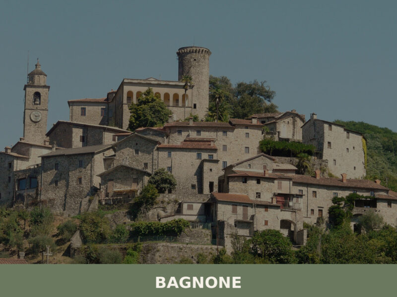
Montegrosso Pian Latte
What to see in Montegrosso Pian Latte, Italy? Discover this Ligurian village of 132 residents, explore its frazione Case Fascei, and the Alpi Liguri Park. Read our guide.
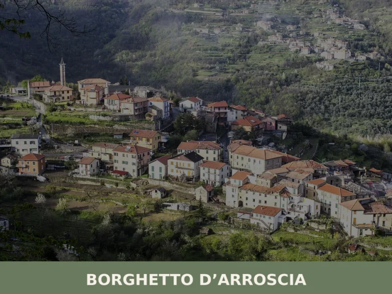
Borghetto d’Arroscia
Along the banks of the Arroscia river, amidst centuries-old olive groves and cultivated terraces, lies the territory of Borghetto d’Arroscia, a scattered municipality in the province of Imperia. Its hamlets, such as Gavenola and Bastia, preserve the appearance of small Ligurian settlements, characterized by stone buildings and narrow streets that follow the contours of the […]
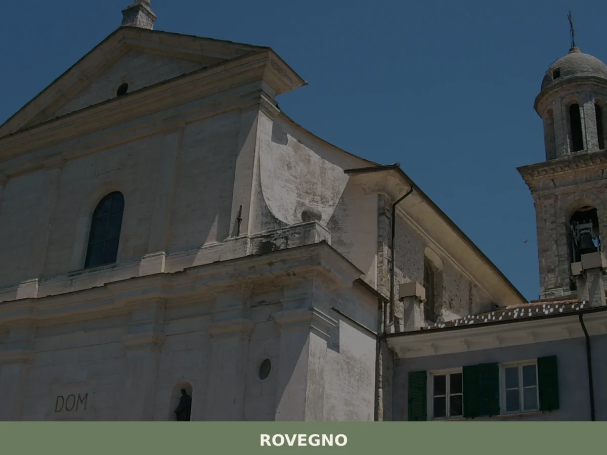
Rovegno
What to see in Rovegno, Italy: Explore the Val Trebbia, 35 km (22 mi) from Genoa. Discover its valley landscape and the surrounding municipalities. Read our guide.
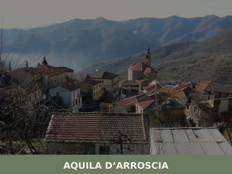
Aquila d’Arroscia
From the heights of the Arroscia Valley, the stone facades and light plasterwork of Aquila d’Arroscia stand out against the intense green of the Mediterranean maquis, dotted with olive groves that trace the slopes. The profile of the parish bell tower, with its slender spire, emerges among the slate roofs, marking the highest point of […]


🏡 Know Castiglione Chiavarese better than we do?
If you’re a local or have been there, your knowledge matters: add what’s missing or fix a detail on this page.