


Roccamena
What to see in Roccamena, a village at 480 m in the province of Palermo: main church, Monte Genuardo reserve, rural farmsteads, local food and practical info.
Discover Roccamena
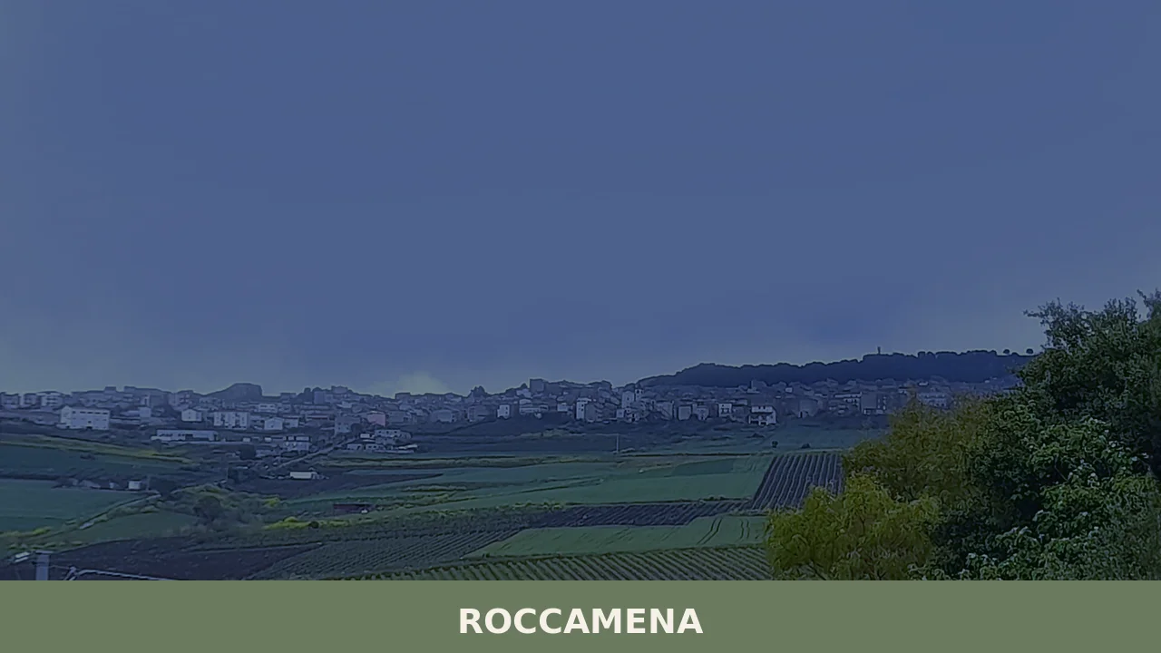
Roccamena has a current population of 1,548, just over a third of the nearly 4,000 recorded in the 1951 census.
This demographic contraction has left intact an eighteenth-century urban layout that extends along a ridge at 480 metres above sea level, between the Belìce river valley and the northern slopes of Monte Genuardo.
Asking what to see in Roccamena means crossing a territory where limestone geology and Sicilian feudal history have produced a distinctive landscape: scattered farmsteads, durum wheat fields, olive groves, and a network of trails connecting the village to the Monte Genuardo and Santa Maria del Bosco Nature Reserve.
History and origins of Roccamena
The place name most likely derives from the Arabic ruc (rock, high ground) combined with a second element whose meaning remains debated among scholars — some link it to mena, a term that may indicate a passage or a water conduit. Human presence in the area is documented as far back as prehistoric times thanks to finds in the surrounding caves, but the current settlement took shape during the medieval period, under Norman-Swabian rule, when control of the Belìce valley held strategic importance for communications between Palermo and south-western Sicily.
During the fourteenth and fifteenth centuries, Roccamena passed through several feudal investitures.
The Ferreri family, then the Ferrara, and finally the Ferrara La Barbera held the fief in successive periods — a frequent pattern of turnover among the villages of the Palermo hinterland.
It was the licentia populandi granted in the seventeenth century that gave the settlement the structure it still preserves today: an orderly grid of parallel streets following the line of the ridge, with the main church positioned at the highest point.
The 1968 Belìce earthquake, with its epicentre just a few kilometres away, also struck Roccamena, causing damage to buildings and accelerating the depopulation already underway. Reconstruction partially altered the building fabric in the lower part of the village, while the old core retained its original configuration.
What to see in Roccamena: 5 main attractions
1.
Chiesa Madre dedicated to San Giuseppe
The main sacred building in the village, dedicated to the patron saint San Giuseppe and celebrated on 19 March.
The current structure dates from the eighteenth century and features a single nave with lateral stucco altars. The façade, in local stone, sober and compact, reflects the proportions of minor religious architecture in the province of Palermo. Inside are several eighteenth-century canvases and handcrafted wooden furnishings.
2. Monte Genuardo and Santa Maria del Bosco Nature Reserve
The protected area extends across the highlands south of the village and safeguards over 2,500 hectares of mixed woodland — holm oaks, downy oaks, ash trees — on a limestone massif reaching 1,180 metres. The trail network starts from Roccamena and leads to the remains of the Benedictine Abbey of Santa Maria del Bosco, founded in the fourteenth century.
The reserve is home to raptors such as the peregrine falcon and Bonelli’s eagle, as well as endemic flora of considerable botanical interest.
3.
The castle ruins and the rock-shelter area
In the upper part of the municipal territory, traces of a medieval fortified structure survive, reduced to a few perimeter walls but still legible in plan. The surrounding area features caves and rock shelters used by humans since prehistory, as documented by archaeological surveys carried out in the second half of the twentieth century. The spot offers a complete view over the Belìce valley as far as the Sicani mountains.
4. The eighteenth-century urban fabric
The historic centre preserves the layout of the seventeenth- and eighteenth-century foundation: straight streets, one- or two-storey houses built from blocks of local calcarenite, simple portals with round arches. Some dwellings still display wrought-iron balconies and the curved belly railings widespread in the civil architecture of western Sicily.
The central square, focal point of public life, maintains modest proportions and stone-slab paving.
5.
The rural farmsteads of the surrounding territory
The agricultural landscape around Roccamena is dotted with farmsteads — some still active, others in a state of abandonment — that document the cereal and pastoral economy of the area. Dry-stone buildings with internal courtyards, storerooms, stables, and palmenti for grape processing. Several can be reached on foot along trazzere, the ancient Sicilian rural tracks, which connect to the hiking routes of the Genuardo reserve.
Food and local products
The table in Roccamena follows the repertoire of inland cereal-growing Sicily. Durum wheat bread, baked in wood-fired ovens using a process that involves long fermentation, remains the staple of local food. It appears in the muffuletta dressed with new-season oil, in pane cunzato with tomato, anchovies and caciocavallo, and in legume soups — broad beans, lentils, chickpeas — that form the dishes of the farming tradition.
Fresh sheep’s milk ricotta, produced by shepherds on the Genuardo, is used both in first courses and in desserts, particularly in cannoli and fried stuffed cassatelle.
Extra virgin olive oil is the most prized agricultural product of the area.
Olive groves of the Nocellara del Belìce and Cerasuola varieties occupy the terraces at the lowest elevations within the municipal territory. The official website of the Municipality of Roccamena periodically lists initiatives related to the promotion of local produce, including seasonal festivals dedicated to olive oil and dairy products.
When to visit Roccamena: the best time of year
The 19th of March, the feast of San Giuseppe, is the most significant date in the local calendar. The celebrations involve the preparation of the tavolate di San Giuseppe — domestic votive altars laid with ritual breads, sweets, and meatless dishes — a tradition shared with other towns in western Sicily and still practised in private homes.
Spring, from April to June, is the optimal period for hikes in the Genuardo reserve: the woods are in full leaf, temperatures range between 15 and 25 degrees, and the trails are easily walkable.
Summer brings high temperatures that often exceed 35 degrees during the middle of the day, making walks demanding.
Autumn, with the olive harvest between October and November, has its own specific appeal: the agricultural landscape comes alive, and the shorter, cooler days make the trails comfortably passable again. Winter is the quietest period — few visitors, but the chance to see the village in its everyday dimension, without filters.
How to get to Roccamena
The nearest airport is Palermo’s Falcone-Borsellino, approximately 65 kilometres away. From Palermo, take the SS 624 towards Sciacca, exiting at the Roccamena junction after roughly 50 minutes of driving.
The road crosses a hilly landscape of arable land and pastures, with wide curves and a road surface in good condition.
There is no direct rail connection: the nearest station with an active service is Palermo Centrale, from which you need to continue by car or by regional bus services — connections, however, are limited to a few daily runs and require checking updated timetables.
From Trapani the distance is approximately 90 kilometres via the A29 motorway and then the SS 624. From Agrigento, it is roughly 80 kilometres along provincial roads that cross the Sicani mountains. A private or rental car remains the most practical way to reach and move around the area.
What to see in Roccamena and in the nearby villages of western Sicily
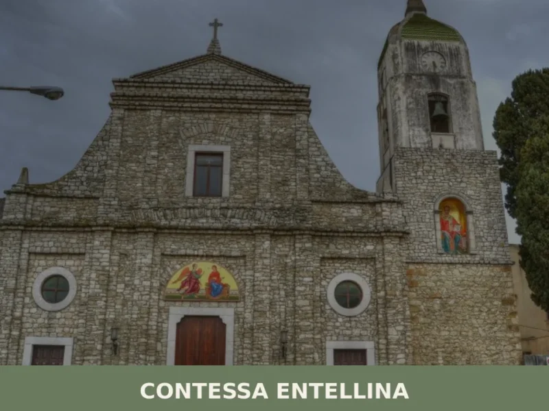
Roccamena’s position, in the eastern sector of the Belìce valley, places it in an area where several smaller centres share a common historical and landscape matrix. About 15 kilometres to the south-west lies Contessa Entellina, one of Sicily’s Arbëreshë villages — founded in the fifteenth century by communities of Greek-Albanian language and rite, it still preserves the Byzantine liturgy and a distinct linguistic identity today.
Visiting the two centres together allows you to observe how, within the same mountain district, cultural traditions of different origin coexist.
Those wishing to extend their exploration to northern Sicily can reach Aliminusa, a small hillside settlement in the eastern Madonie area, about an hour and a half’s drive from Roccamena.
The comparison is instructive: both villages share the demographic condition of centres with fewer than 2,000 inhabitants, yet they differ in geographical position, agricultural economy, and relationship with the surrounding protected areas. Consulting the Touring Club Italiano can be useful for planning an itinerary linking these villages along the inland roads of western Sicily.
Nearby Villages near Roccamena
In Sicily More villages to discover
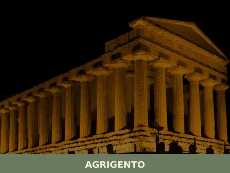
Agrigento
What to see in Agrigento, a city of 58,063 at 230m: UNESCO Valley of the Temples, Norman Cathedral, certified Cotognata. Plan your visit with our complete guide.

Belpasso
A town rebuilt three times from volcanic catastrophe. Belpasso village in Sicily embodies resilience through its geometric urban grid and living festival traditions.
Campofiorito
Campofiorito sits at 660 metres above sea level in the province of Palermo, a small agricultural commune of 1,321 inhabitants whose name translates literally as “field of flowers.” Founded as a feudal settlement in the early eighteenth century, the village occupies a limestone ridge in the upper Belìce valley, surrounded by wheat fields and grazing […]
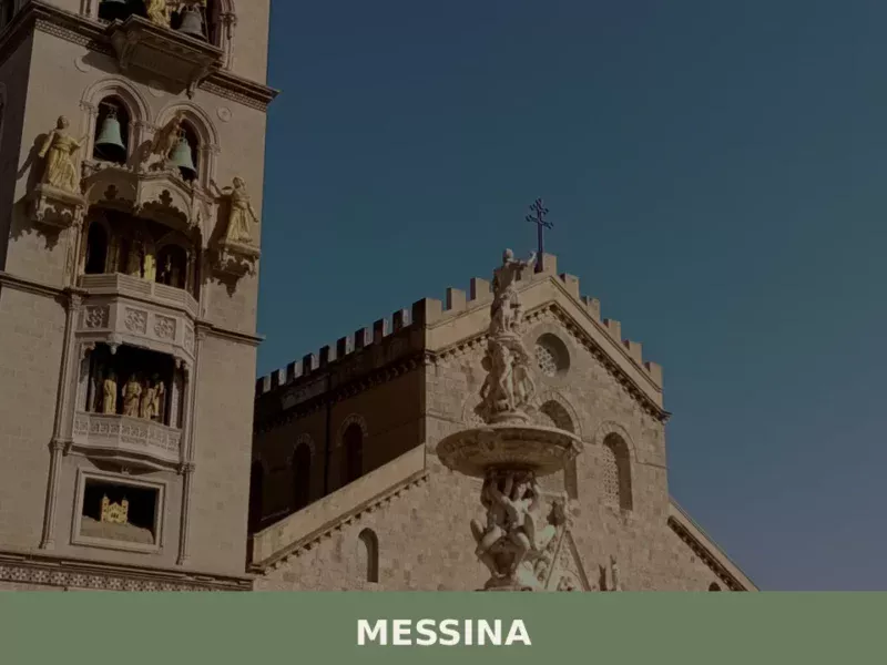
Messina
What to see in Messina: 242,267 inhabitants, the astronomical clock tower, two Caravaggios and the Norman Cathedral. Plan your visit and discover how to get there.

Rodì Milici
Two urban nuclei, one Knights of Malta palazzo and the ruins of ancient Longane: Rodì Milici rewards visitors who look beyond the Sicilian coast.
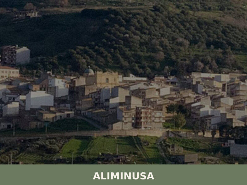
Aliminusa
Morning light hits the limestone facades along Corso Umberto at a low angle, turning the walls the colour of raw honey. A few voices carry across the piazza — unhurried, familiar. Aliminusa is a village of just over a thousand people, set at 450 metres above sea level in the hills of the Palermo province, […]
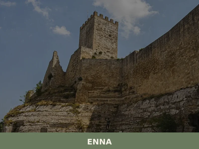
Enna
Discover Enna, a breathtaking village perched in the heart of Sicily, Italy. Explore its rich history, stunning landscapes, and timeless charm.
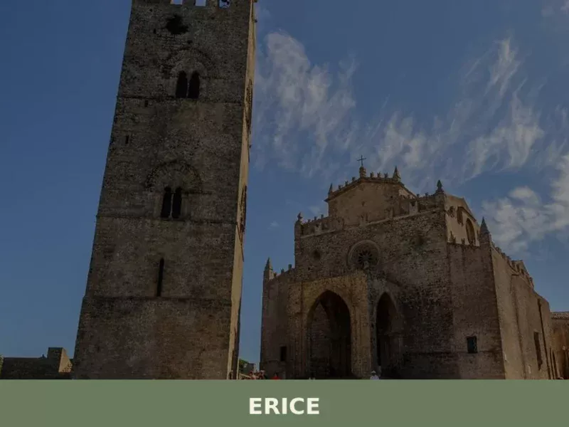
Erice
what to see in erice? Discover Erice, Italy, a village 751 m high. Explore ancient fortifications and the Norman Castle of Venus. Read our guide for top attractions.

Licata
34,000 residents, Greek foundations and a coastline of alternating cliffs and sandy coves make Licata one of the most layered towns on Sicily's southern shore.
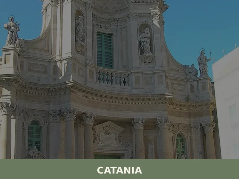
Catania
Discover Catania, a captivating village in Sicily, Italy. Explore its rich history, stunning architecture, local culture, and hidden gems waiting to be found.


🏡 Know Roccamena better than we do?
If you’re a local or have been there, your knowledge matters: add what’s missing or fix a detail on this page.