
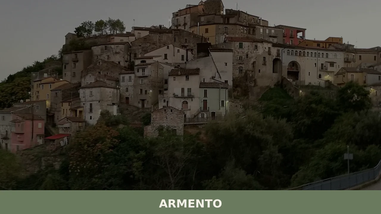
Armento
In 1814, a farmer unearthed a Lucanian funerary assemblage dating to the 4th century BC in the countryside around Armento: a golden crown, now held at the Antikensammlung in Munich, which confirmed the presence of a high-ranking Italic settlement in this part of the Val d’Agri. The village sits at 710 metres above sea level […]
Discover Armento
In 1814, a farmer unearthed a Lucanian funerary assemblage dating to the 4th century BC in the countryside around Armento: a golden crown, now held at the Antikensammlung in Munich, which confirmed the presence of a high-ranking Italic settlement in this part of the Val d’Agri. The village sits at 710 metres above sea level in the province of Potenza, has 552 inhabitants, and retains traces of a stratification spanning from pre-Roman times to the late Middle Ages. Asking what to see in Armento means working through these layers one by one, from underground remains to bell towers.
History and origins of Armento
The earliest documentary references to the name date to the Norman period, when the 12th-century Catalogus Baronum recorded the fief under the designation Armentum, a Latin term linked to livestock rearing — an activity that defined the local economy for centuries. The area, however, was inhabited long before that: Lucanian-era finds uncovered in the 19th and 20th centuries in the surrounding rural districts document continuous occupation from at least the 5th century BC. Among these, alongside the famous golden crown, are red-figure ceramics and votive bronzes now distributed across several European museums.
During the Middle Ages, Armento passed under the control of various feudal families, including the Sanseverino, a powerful house of the Kingdom of Naples. The village suffered damage in the earthquake of 1857, the so-called “Great Earthquake of Basilicata” studied by the Irish seismologist Robert Mallet, which caused widespread destruction throughout the Val d’Agri. Reconstruction partially altered the original urban layout, but the oldest core still preserves the concentric-band structure typical of medieval defensive settlements in the region.
The patron saint of the village is Saint Philip Neri, the Florentine priest who founded the Congregation of the Oratory, whose feast day marks the community calendar and serves as the main occasion for collective gathering.
What to see in Armento: the main attractions
1. Chiesa Madre di San Marco Evangelista
The main religious building in the village, the Chiesa Madre has a single-nave plan that was reworked after the 19th-century earthquake damage. Inside, there are side altars in local stone and wooden statues of southern Italian craftsmanship dating to between the 17th and 18th centuries. The sober façade looks out onto a small open space that serves as an orientation point within the urban fabric.
2. Ruins of the feudal castle
In the upper part of the settlement, the remains of the medieval fortified structure survive as a few perimeter walls and stretches of foundation. The position provides a vantage point over the Agri valley and the surrounding ridges of the Lucanian Apennines. A reading of the masonry makes it possible to distinguish at least two construction phases, one Norman and one Angevin.
3. Historic centre and vernacular architecture
The dwellings in the old core feature portals in carved sandstone, many of which bear dates incised between the 17th and 18th centuries. Small noble palazzi, recognisable by their wrought-iron balconies and family crests on the lintels, alternate with farmhouses that have external masonry staircases. The urban layout follows the morphology of the ridge without any regularising interventions.
4. Lucanian archaeological sites in the rural districts
The areas where Lucanian funerary assemblages were found lie in the countryside around the village. Although the most significant artefacts are exhibited elsewhere — at the National Archaeological Museum of Basilicata in Potenza and in foreign collections — the excavation sites document the importance of the territory as a node in the network of pre-Roman Italic settlements in the Val d’Agri.
5. Mountain trails towards the Apennine ridge
Armento is a starting point for hiking routes that climb to the higher elevations of the Lucanian Apennines, passing through woods of Turkey oak and beech. The trails — partly coinciding with old mule tracks used for transhumance — connect the village to the highest areas of the ridge, where above 1,200 metres the vegetation thins out and the views open up across the surrounding valleys.
Local cuisine and regional produce
The cooking of Armento reflects the mountain diet of upper Basilicata, built on legumes, cereals, sheep meat, and cured meats. The most common dishes in homes and the few local trattorias include rascatielli — fresh pasta shaped by hand with the fingers and dressed with a lamb ragù — and ciaudedda, a spring soup of broad beans, artichokes, and potatoes. Lamb, raised on the surrounding pastures, is cooked over embers or braised in a pan with dried peppers.
Among the local products are the white bean grown in the vegetable gardens of the Val d’Agri, hard-paste pecorino aged in caves, and durum wheat bread leavened with sourdough and baked in wood-fired ovens still in use in some households in the centre. Extra virgin olive oil production, limited by the high altitude, is found in the lower, south-facing parts of the municipal territory.
When to visit Armento: the best time of year
The most suitable period runs from May to October. In summer, temperatures remain moderate — the July average hovers around 22–24 °C thanks to the 710-metre altitude — and the long days allow hikers to cover the mountain trails with good light until evening. The feast of Saint Philip Neri, celebrated on 26 May, is the occasion to observe the procession and communal rite in their fullest form: a brass band, fireworks, and tables laid in homes open to visitors.
Autumn, between September and November, brings the colours of the Turkey oak woods and coincides with the gathering of mushrooms and chestnuts in the surrounding countryside. Winter is harsh, with snowfall possible between December and March: access roads can become difficult in icy conditions, and many seasonal businesses close. For those seeking the village at its most intimate and quiet, February and March offer a sharp, depopulated atmosphere.
How to get to Armento
By car from Naples, take the A3 Salerno–Reggio Calabria motorway to the Atena Lucana exit, then continue on the E847 (Raccordo Autostradale Basentana) towards Potenza and turn off towards the Val d’Agri following signs for Grumento Nova and Armento. The total distance from Naples is about 180 km, with a driving time of roughly 2 hours and 30 minutes. From Potenza, the distance is about 90 km, which takes around an hour and a half along mountain state and provincial roads.
The nearest railway station is Grumento Nova-Moliterno, served by the Battipaglia–Potenza–Metaponto line, from which you need to continue by private transport or local shuttle services. The nearest airport is Karol Wojtyła in Bari, about 180 km away; alternatively, Naples Capodichino airport is approximately 200 km distant. The regional bus network, operated by local companies, connects Armento to Potenza with limited services: it is advisable to check timetables in advance.
What to see in Armento and in the nearby villages of Basilicata
The mountain territory surrounding Armento is home to other small settlements, each with its own architectural and landscape character. To the south-east, along the Serrapotamo valley, lies Calvera, a village of a few hundred inhabitants that shares with Armento its mountain setting and the scars of the 1857 earthquake. The two communities, less than twenty kilometres apart, represent two variants of the same Lucanian settlement model: compact clusters on a ridge, agro-pastoral economies, and demographic decline in the second half of the 20th century.
To the north-west, closer to Potenza, the village of Anzi offers another interesting comparison: situated at a similar altitude but on a different slope of the Lucanian Apennines, it preserves a rock-cut church and archaeological finds that document its pre-Roman origin. Anyone visiting this part of Basilicata can put together a three- or four-day itinerary linking these villages, travelling along provincial roads with little traffic and crossing landscapes that alternate between woodland, pasture, and cereal cultivation depending on the elevation.
Nearby Villages near Armento
In Basilicata More villages to discover
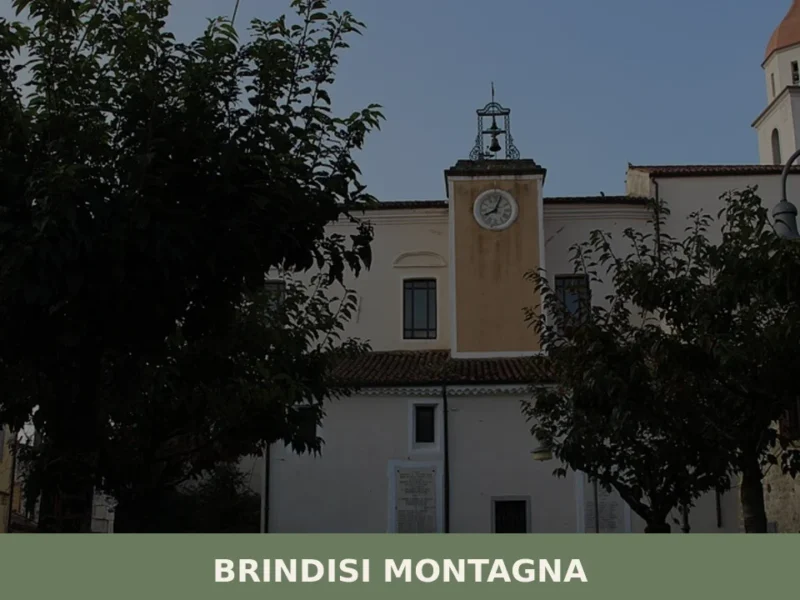
Banzi
In 1956, during archaeological excavations in the area of ancient Bantia, the “Bantine Table” was discovered, a bronze tablet inscribed in the Oscan language, providing direct evidence of the legislation of this Italic community from the 4th-3rd century BC. For those wondering **what to see in banzi** today, the village, located at 571 meters above […]
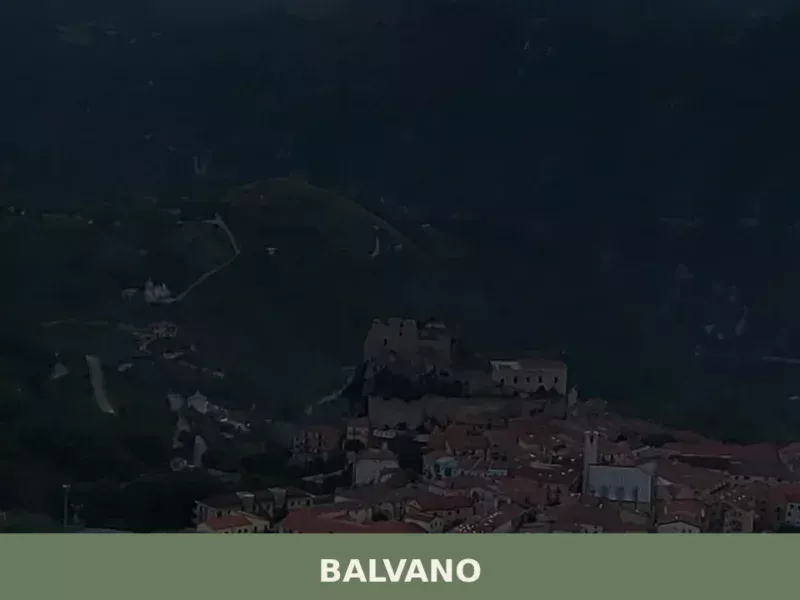
Balvano
Balvano, a municipality in the province of Potenza, rises 425 meters above sea level, fitting into the hilly landscape of Basilicata. This altitude is not just a number, but the coordinate of a natural observatory from which the Platano valley can be viewed. With a population of 1,722 inhabitants, the village maintains the size of […]
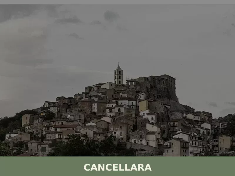
Cancellara
A sharp, cool breeze often carries the scent of wild herbs through the narrow lanes of Cancellara as the afternoon sun begins its descent, casting long shadows from ancient stone facades. At 680 meters above sea level, this small Lucanian village, home to 1,391 inhabitants, feels suspended between the rugged Apennine landscape and a quiet, […]


📝 Incorrect information or updates?
Help us keep the Armento page accurate and up to date.