


Arsoli
What to see in Arsoli, Lazio, Italy: a castle from the 11th century, medieval streets at 666 m altitude, and a Roman aqueduct. Discover the complete guide.
Discover Arsoli
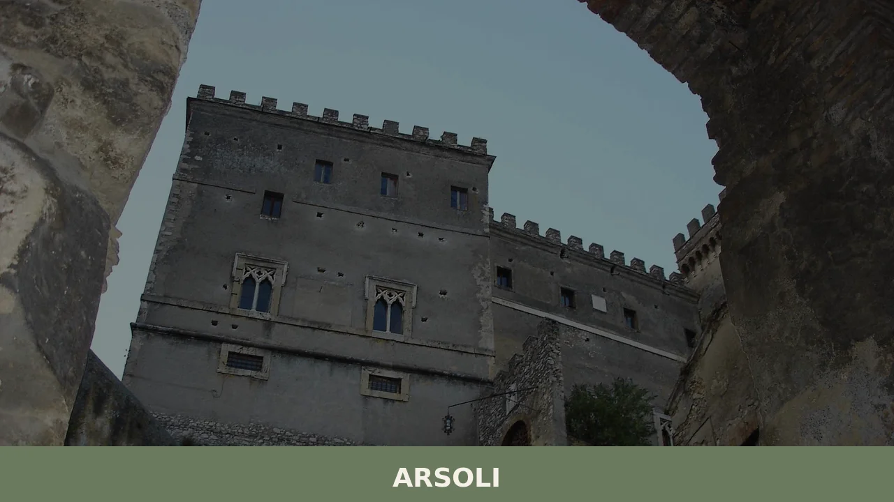
At 666 m (2,185 ft) above sea level, a castle stands at the end of a rocky spur on the edge of the Aniene valley, its walls absorbing the same mountain light that once guided Roman engineers tapping the springs below.
Four frescoed rooms occupy the piano nobile, the principal floor of an Italian noble residence, while guardrooms along the flanks still hold arms, armour and family portraits.
The formal gardens extend from the opposite side of the building, laid out on the promontory where the spur levels off and the valley opens wide.
Knowing what to see in Arsoli means starting with that castle and the compressed medieval street grid surrounding it.
The village sits in the Metropolitan City of Rome, Lazio, Italy, at a population of 1,665 inhabitants, and its recorded history reaches back to at least 600 BC through a documented water supply system.
Visitors to Arsoli find Roman engineering, Renaissance patronage, and an intact hilltop centre within roughly 60 km (37 mi) of central Rome — a practical destination for a day trip or a longer stay in the Simbruini uplands.
History of Arsoli
The springs of Arsoli have been channelled toward Rome since at least 600 BC, the traditional date assigned to an aqueduct attributed by local records to Ancus Marcius, the fourth king of Rome. That early infrastructure marks Arsoli not as a peripheral settlement but as a functional node in the Roman water supply system — a relationship between the mountain source and the city that would define the site’s strategic importance for centuries.
The abundant springs that made the location valuable to ancient engineers continued to flow through successive political changes, keeping the site occupied and contested long after Roman imperial structures dissolved.
The castle that now dominates the spur above the village was constructed in the 11th century, during the period when Benedictine monasteries and their associated fortifications spread through the central Apennine valleys.
The Benedictine Order held the rocca for several centuries, using it as part of a broader network of ecclesiastical landholdings across the region.
Control of such fortifications in the medieval period meant control of the surrounding territory, the roads passing through it, and the water rights connected to it — all of which Arsoli possessed in measurable quantity.
The modern configuration of the castle dates from 1574, when Fabrizio Massimo purchased the property. Massimo commissioned the architect Giacomo Della Porta — the same designer responsible for significant buildings in Rome during the late sixteenth century — to remodel the church attached to the complex.
Massimo also ordered the construction of a new aqueduct to supplement wells that had proved inadequate for the local population.
The Massimo family retained possession of the castle from 1574 onward, and the building has remained in their hands since that purchase, making it one of the longer continuous private tenancies of any fortified complex in the greater Roman hinterland.
The village of Arsoli is also twinned internationally with Blagaj and Mostar, both in Bosnia and Herzegovina, a pairing that reflects a documented municipal relationship established in the contemporary period.
What to see in Arsoli, Lazio: top attractions
The Castle of Arsoli
The structure sits at the tip of a limestone spur, so that one façade looks down over the rooftops of the village while the opposite side opens onto formal gardens laid out on the flatter ground behind. Built in the 11th century and originally held by the Benedictine Order, the castle was remodelled after 1574 under instructions from Fabrizio Massimo, who engaged Giacomo Della Porta for the work.
Inside, four rooms on the piano nobile carry fresco cycles, and the adjacent guardrooms retain displays of arms, armour and painted family portraits.
The building has remained in the Massimo family’s possession continuously since that 1574 purchase, which gives the interior a layered quality — each period of occupation left its own mark on the fabric of the walls.
The Medieval Street Layout
The narrow lanes of Arsoli’s medieval centre follow a plan that has not been substantially altered since the settlement consolidated on the spur.
Stone buildings line passages wide enough for two people to pass, and the alignment of the streets follows the natural contours of the ridge rather than any imposed grid. Walking the full length of the centre from the lower entrance to the castle takes roughly ten minutes, but the density of details — corbelled projections, worn thresholds, bricked-up archways — rewards a slower pace.
The best light for observing the stonework falls in the morning hours, when the sun reaches the eastern faces of the buildings before the lanes fill with shadow.
The Church Remodelled by Giacomo Della Porta
Fabrizio Massimo’s 1574 commission extended beyond the castle itself to the church associated with the complex, for which he engaged Giacomo Della Porta. Della Porta was active in Rome during the same decades he worked at Arsoli, contributing to buildings including the façade of the Gesù and the completion of the dome of St Peter’s Basilica — his presence in this small Lazio village is therefore architecturally significant. The church sits adjacent to the castle, integrated into the built mass of the spur’s summit.
Visitors looking at the exterior should pay attention to the proportions of the portal and the relationship between the nave volume and the surrounding castle walls, which reflect the late sixteenth-century approach to combining sacred and defensive architecture.
The Roman Aqueduct System and Springs
The springs below Arsoli have fed water infrastructure since 600 BC, the date traditionally associated with an aqueduct connected to the reign of Ancus Marcius.
This makes the hydrological system beneath the village one of the oldest documented water-supply operations in the Roman world, predating the better-known Aqua Appia by several centuries.
Fabrizio Massimo ordered an additional aqueduct constructed in the sixteenth century to address the shortfall in local well water, demonstrating that the engineering relationship between the springs and the settlement remained active for over two thousand years.
The landscape around the springs — visible from the lower edges of the village — gives some sense of why the site was selected in the first place: the water output was reliable and the elevation made gravity-fed distribution straightforward.
The Panoramic Position over the Aniene Valley
The spur on which Arsoli stands drops sharply on the village side, giving views across the valley of the Aniene river and toward the Simbruini mountain range.
The altitude of 666 m (2,185 ft) places the village well above the valley floor, and on clear days the sightlines extend for a considerable distance across the forested ridgelines of the broader Lazio highlands. It is worth climbing up to the castle end of the spur specifically to compare the two exposures: the drop toward the village on one side and the formal garden layout on the other, with the valley visible beyond both.
The position also explains the strategic logic behind every phase of the site’s occupation, from the Roman period through the Benedictine centuries to the Massimo family’s tenure.
Local food and typical products of Arsoli
The food tradition of Arsoli belongs to the broader culinary culture of the Lazio mountain villages, shaped by altitude, seasonal availability and the livestock economy that characterised upland settlements throughout the Apennine foothills.
At 666 m (2,185 ft), the growing season is shorter than in the Roman lowlands, which historically meant a dependence on preserved meats, dried legumes, and foraged ingredients.
The proximity to Rome also created a commercial relationship: agricultural products from the Simbruini area, including dairy and cured pork, moved toward the capital along the same valleys that carried the spring water.
Among the dishes found in the kitchens and trattorie — small family-run restaurants — of the area, pasta preparations based on pasta al sugo di cinghiale, a slow-cooked wild boar ragù, reflect the hunting traditions of the surrounding woodland.
Gnocchi made with locally grown potatoes and dressed with cured pork fat and pecorino cheese represent the kind of calorie-dense cooking that sustained families through long winters at this elevation.
Porchetta, whole roast pork seasoned with wild fennel, rosemary and black pepper, is the format used across the Lazio hill villages for market days and festivals; the technique requires a full-day cook over wood and produces crackling skin over dense, herb-threaded meat.
The Lazio uplands surrounding Arsoli fall within zones known for sheep’s milk cheese production, and pecorino aged for a minimum of sixty days is a standard table cheese throughout the area.
Aged forms, kept for three months or longer, develop a harder texture and a sharper flavour suitable for grating over pasta.
No individually certified product with a formal EU designation has been documented specifically for Arsoli in the available sources, but the village sits within the broader agricultural geography of the Roman hinterland where such products circulate at local markets and in small producers’ shops.
The practical place to find local products is at the periodic markets held in the village square, where producers from the surrounding area bring cured meats, aged cheeses, legumes, and honey. Visiting in late summer — the period coinciding with the patron saint festival in August — provides the most concentrated opportunity to encounter these products alongside other visitors and local residents in the same public space.
Festivals, events and traditions of Arsoli
The principal religious festival of Arsoli honours two patrons: San Bartolomeo Apostolo, whose feast falls on 24 August, and the Madonna di Guadalupe, celebrated on the last Sunday of August.
The August timing means both events occur within the same week or fortnight, effectively extending the festive period across the final part of the summer.
The feast of San Bartolomeo on 24 August is the fixed anchor of the calendar, typically involving a solemn Mass, a procession through the village streets, and the gathering of residents and visitors in the public spaces of the medieval centre.
The celebration of the Madonna di Guadalupe on the last Sunday of August follows the liturgical observance with more informal community events.
In Lazio mountain villages, the August festival period traditionally combines religious processions with outdoor meals, live music in the piazza, and the presence of food vendors offering local products. Fireworks displays are a standard feature of such patron saint celebrations across the region and are associated with both the 24 August and the Sunday observances in Arsoli.
For visitors planning a trip around the festive calendar, the final week of August concentrates the most public activity the village sees across the entire year.
When to visit Arsoli, Italy and how to get there
The best time to visit Arsoli is between late May and early October, when the altitude of 666 m (2,185 ft) keeps temperatures noticeably lower than in Rome and the Lazio lowlands.
July and August bring the warmest and driest conditions, and the patron saint festivals in late August add a specific reason to plan around that window.
Spring visits, from April onward, offer cooler air and the green of the Simbruini hillsides coming into full leaf; autumn, from September through October, gives clear visibility across the valley and the colour change in the deciduous woodland.
Winter is cold at this elevation and the village sees very little tourist activity between November and March, making it a less practical season for international visitors unless the goal is the landscape under snow.
Arsoli is located approximately 60 km (37 mi) east of central Rome, making it a realistic day trip from the capital.
By car, the most direct route follows the A24 motorway toward L’Aquila, exiting at the Arsoli-Cervara di Roma junction; the drive from Rome takes roughly one hour depending on traffic on the urban sections of the motorway.
By train, Trenitalia operates services on the Rome–Avezzano regional line, with a stop at Arsoli station; journey time from Roma Tiburtina is approximately one hour. The nearest major airport is Rome Fiumicino (Leonardo da Vinci International Airport), approximately 85 km (53 mi) from Arsoli by road.
International visitors should be aware that English is not widely spoken in smaller local businesses, and carrying euro cash is practical for markets and small trattorie.
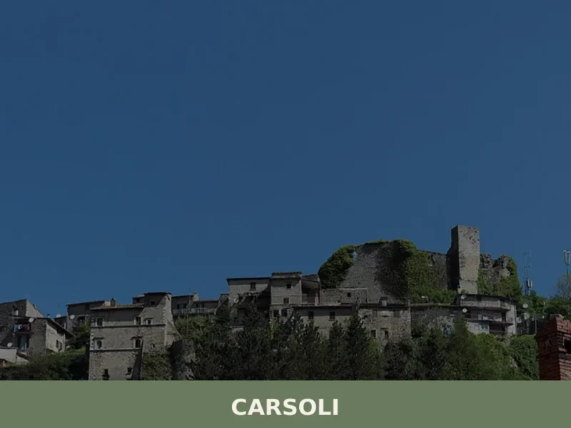
Those arriving by car from the north or east of Italy can combine a visit to Arsoli with a stop in other Lazio villages along the Sabina ridge.
The village of Castelnuovo di Farfa, which shares the same broad upland geography of the greater Roman hinterland, sits within the wider Lazio network of medieval hill settlements worth including on a multi-day itinerary through the region.
For those extending their stay further into the Sabina area, Cantalupo in Sabina offers a comparable scale and similar architectural character, with a hilltop layout that rewards the same kind of slow exploration useful in Arsoli itself.
Visitors who have time to explore the broader area can also reach Casaprota, a small village in the Sabina hills that shares the upland character and the quiet rhythm of the Lazio interior with Arsoli.
The official municipality of Arsoli maintains a website with updated information on local services, access conditions and municipal events for visitors planning independently.
Frequently asked questions about Arsoli
What is the best time to visit Arsoli?
Late spring (May–June) and early autumn (September–October) offer the most comfortable temperatures at 666 m elevation, with clear skies ideal for valley views. Summer is pleasant and less crowded than coastal Lazio resorts. The main festivals fall in August: the feast of San Bartolomeo Apostolo on 24 August and the Madonna di Guadalupe celebration on the last Sunday of August, both drawing visitors to the village centre. August combines festival atmosphere with warm mountain evenings, making it the most lively period for a visit.
What are the historical origins of Arsoli?
Arsoli's documented history reaches back to at least 600 BC, when a water supply system — traditionally attributed to Ancus Marcius, the fourth king of Rome — channelled the local springs toward the capital. This makes the site one of the oldest recorded nodes in the Roman water infrastructure, predating the Aqua Appia by centuries. A castle was built on the limestone spur in the 11th century by the Benedictine Order. In 1574, Fabrizio Massimo purchased the property and commissioned architect Giacomo Della Porta to remodel it — a family ownership that has continued uninterrupted to the present day.
What to see in Arsoli? Main monuments and landmarks
The Castle of Arsoli is the primary attraction: an 11th-century fortification remodelled in 1574, with four frescoed rooms on the piano nobile, guardrooms displaying arms and armour, and formal gardens overlooking the Aniene valley. The adjacent church, also redesigned by Giacomo Della Porta — architect of the Gesù façade and St Peter's dome — is architecturally significant. The compact medieval street grid surrounding the castle rewards slow exploration. Contact the Massimo family estate or local municipality for current visiting arrangements, as the castle remains in private ownership.
What are the main natural or scenic attractions of Arsoli?
Arsoli sits at 666 m on the edge of the Simbruini uplands, a mountain range within the Monti Simbruini Regional Nature Park — one of the largest protected forest areas in Lazio. The spur drops sharply toward the Aniene river valley, offering unobstructed views across forested ridgelines. The landscape around the ancient springs below the village illustrates the hydrological geography that made the site strategically important since Roman times. The surrounding woodland supports hiking and wildlife observation within the park's network.
Where to take the best photos in Arsoli?
The tip of the castle spur provides two contrasting compositions: looking down over the medieval rooftops toward the Aniene valley on one side, and across the formal gardens with the Simbruini ridgelines behind on the other. Morning light is best for photographing the stone facades of the medieval lanes, when the sun reaches the eastern faces before the narrow passages fall into shadow. The lower edges of the village, near the historic spring area, offer framing of the spur and castle silhouette against the valley backdrop.
Are there museums, churches or historic buildings to visit in Arsoli?
The Castle of Arsoli contains the most significant interior in the village: four frescoed rooms on the piano nobile and guardrooms with historical arms, armour and family portraits accumulated across centuries of Massimo family ownership. The church adjacent to the castle was remodelled by Giacomo Della Porta in 1574, a notable commission given his simultaneous work on major Roman buildings. As the castle is privately owned, visiting arrangements should be confirmed in advance through the local municipality or directly with the estate.
What can you do in Arsoli? Activities and experiences
Arsoli offers a combination of cultural exploration and mountain outdoor activity. Walking the medieval centre from the lower entrance to the castle takes around ten minutes, though a slower pace reveals architectural details worth examining. The Monti Simbruini Regional Nature Park surrounding the village provides hiking terrain through protected Apennine forest. Local markets in the village square, held periodically, are the practical place to buy cured meats, aged pecorino, legumes and honey from producers in the area. The village also serves as a base for exploring the broader Simbruini uplands.
Who is Arsoli suitable for? Families, couples, hikers, solo travelers?
Arsoli suits travellers who combine cultural and natural interests. History and architecture enthusiasts will find a layered site spanning Roman engineering, medieval fortification and Renaissance patronage within a walkable hilltop centre. Hikers and nature lovers benefit from direct access to the Monti Simbruini Regional Nature Park. Couples and slow travellers appreciate the compact, uncrowded medieval streets and panoramic valley position. At roughly 60 km from central Rome, the village works as a day trip for Romans or as a base for a longer Lazio mountain stay. It is not oriented toward beach or spa tourism.
What to eat in Arsoli? Local products and specialties
The food of Arsoli reflects Lazio mountain cooking: pasta al sugo di cinghiale (slow-cooked wild boar ragù), potato gnocchi dressed with cured pork fat and pecorino, and porchetta — whole roast pork seasoned with wild fennel, rosemary and black pepper, cooked over wood for a full day. Sheep's milk pecorino from the surrounding Simbruini area, aged from sixty days to over three months, is a standard table and grating cheese. Cured meats, dried legumes and local honey are available at periodic markets in the village square from producers in the broader Aniene valley area.
Nearby Villages near Arsoli
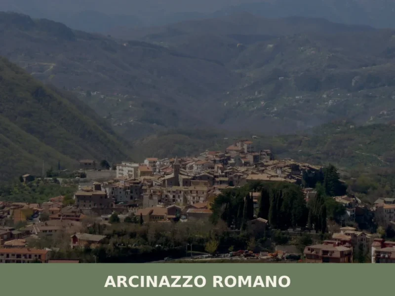
In Lazio More villages to discover
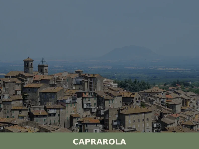
Caprarola
What to see in Caprarola, Lazio, Italy: Villa Farnese, volcanic hill walks, and local food at 493 m altitude. Discover this Viterbo comune in one day from Rome.

Sutri
A village of 6,707 inhabitants built on a dramatic tufo ridge above the ancient Cassia road. Medieval churches, Roman monuments and Etruscan archaeology define its character.
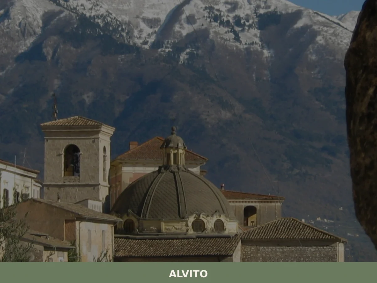
Alvito
What to see in Alvito: discover the 5 top attractions in this Lazio village, from the castle to the Cathedral. Plan your visit with this complete guide.

Terracina
44,000 residents, one ancient temple on a cliff, and centuries of Roman, medieval and papal history waiting along the Tyrrhenian coast.
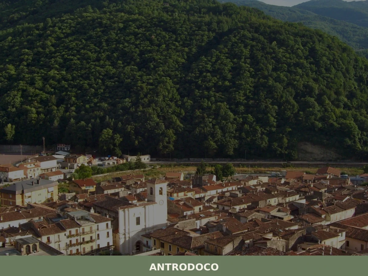
Antrodoco
What to see in Antrodoco: discover the 5 main attractions, the history of this Lazio village and how to plan your visit. A complete guide for your itinerary.

Accumoli
What to see in Accumoli, Italy? Discover this village at 855 m (2,805 ft) altitude. Explore the 12th-century Civic Tower and Palazzo Marini. Read our guide.
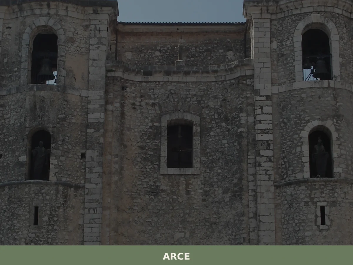
Arce
What to see in Arce: discover the 5 unmissable aspects of this Lazio village. From medieval fortresses to scenic views, your complete guide. Plan your visit!
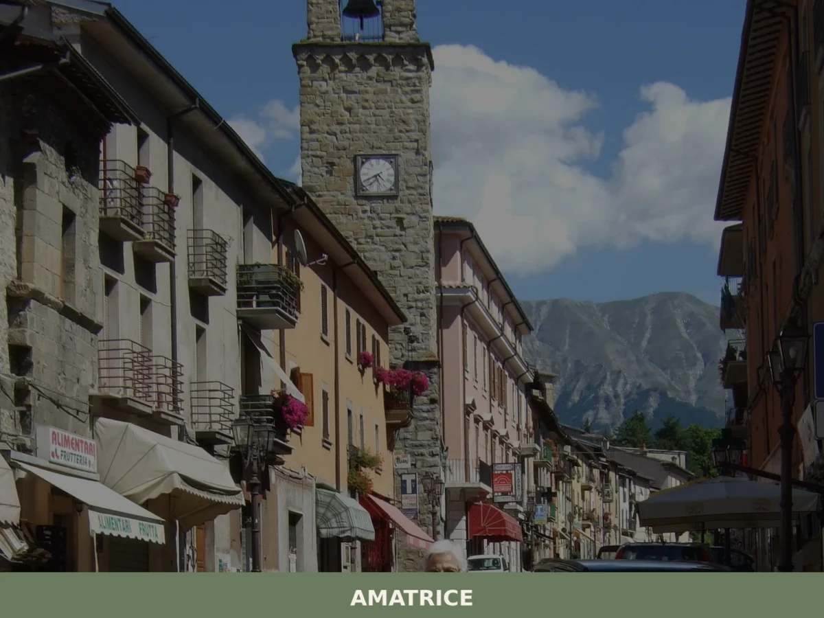
Amatrice
What to see in Amatrice? Explore the 5 main attractions of this village in Lazio. The complete guide awaits you with useful tips. Plan your visit!
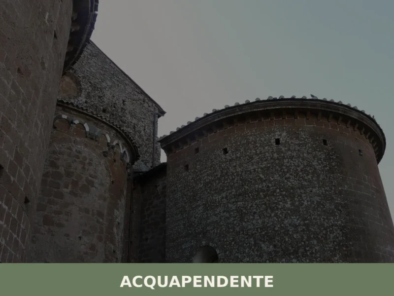
Acquapendente
What to see in Acquapendente, Lazio, Italy: cathedral dating to 1149, Monte Rufeno Reserve and local pottery. Population 5,619. Discover the full travel guide.
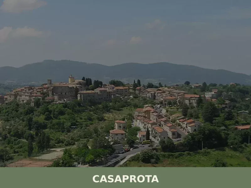
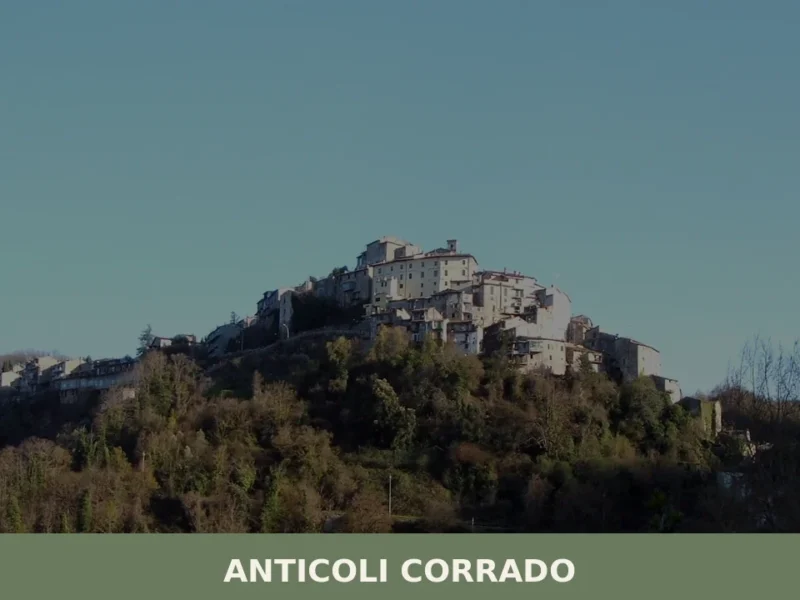
Casaprota
Discover Casaprota, a charming village in Lazio, Italy. Explore its history, culture, and scenic landscapes in the heart of the Italian countryside.


🏡 Know Arsoli better than we do?
If you’re a local or have been there, your knowledge matters: add what’s missing or fix a detail on this page.