


Aurigo
A 331-inhabitant village above the Impero Valley. Discover what to see in Aurigo: centuries-old sanctuaries, stone lanes, and olive terraces across the Ligurian hinterland.
Discover Aurigo
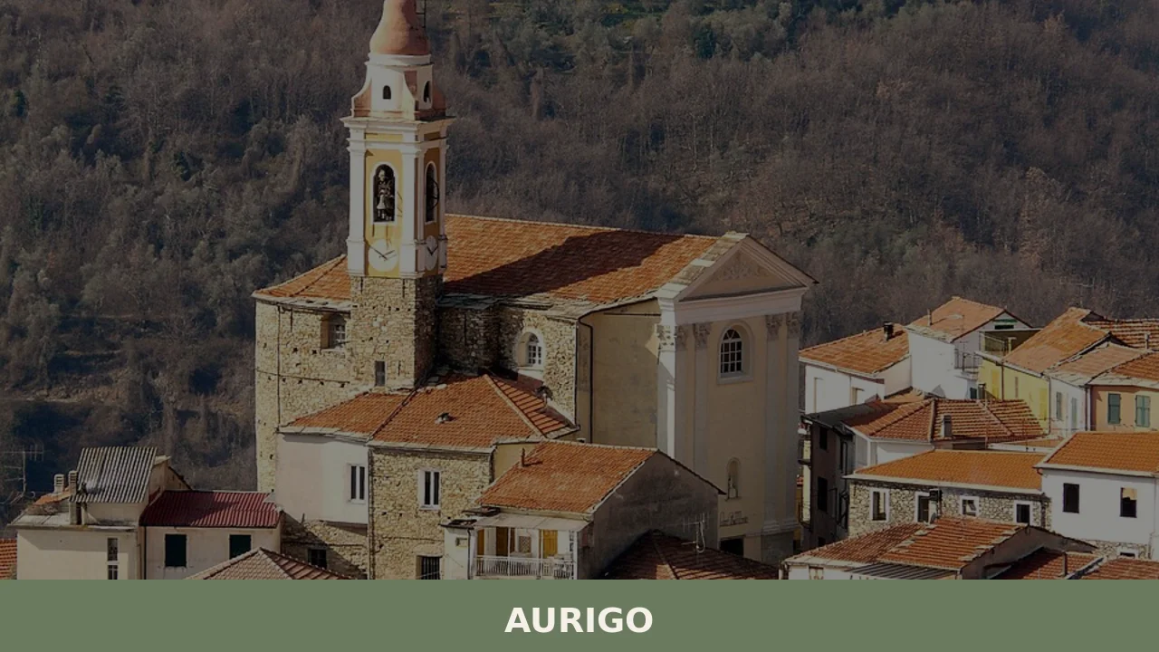
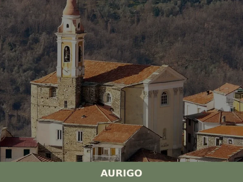
Morning light strikes the stone facades along Via Roma, turning them the colour of raw honey. A cat crosses an empty piazza. Somewhere below, olive groves descend toward the Impero Valley in ordered silver-green rows. Aurigo — 331 inhabitants, 431 metres above the Ligurian coast — is a village that rewards those who slow down. For anyone asking what to see in Aurigo, the answer begins with learning to look: at the way centuries of building have settled into the hillside, at the quiet churches that punctuate the lanes, at the terraced land that has fed this community for generations.
History of Aurigo
The origins of Aurigo trace to the medieval period, when small agricultural settlements took hold across the valleys behind the Ligurian coast. The village developed along a ridge overlooking the Impero Valley, part of the network of hilltop communities that controlled the routes between the coast and the Piedmontese hinterland. Like many borghi in the Province of Imperia, Aurigo’s position was strategic: high enough for defensive advantage, close enough to fertile slopes for olive cultivation.
The name “Aurigo” may derive from the Latin word for gold — “aurum” — possibly referencing the golden hue of the local stone or the colour of the surrounding hillsides in late summer. Others suggest a connection to personal Roman-era nomenclature. What is certain is that by the late Middle Ages, the settlement had consolidated around its parish church and the narrow carruggi that still define the village fabric today. Aurigo passed through various feudal administrations before becoming part of the Republic of Genoa’s sphere of influence, sharing the broader political fate of the western Ligurian interior.
The nineteenth and twentieth centuries brought demographic decline common to the entroterra — the young left for the coast, for Genoa, for the Americas. Yet the village endured. The municipal building, the churches, and the terraced groves remain as evidence of a community that, while small, has maintained its physical and social structure across centuries.
What to see in Aurigo: 5 must-visit attractions
1. Oratorio di San Giovanni Battista
This oratory stands as one of Aurigo’s most distinctive religious buildings. Its facade, simple and proportioned, is typical of Ligurian oratories built for confraternities — lay religious brotherhoods that played a central role in village social life. Inside, the single nave retains its devotional atmosphere. The building’s presence along the village lanes marks a pause in the architecture, a gathering point that has served the community for centuries.
2. Santuario di San Paolo
Set apart from the village core, the Sanctuary of San Paolo occupies a position among olive groves with open views across the valley. The structure reflects the Ligurian tradition of building sanctuaries at the edges of settlements, where faith meets landscape. Its stone walls and modest bell tower are built from local materials, anchoring the building visually and literally to the terrain it stands on.
3. Santuario di Sant’Andrea
The Sanctuary of Sant’Andrea is another outlying sacred site, reached by footpaths that wind through terraced agricultural land. These sanctuaries served as pilgrimage points for surrounding communities, not only Aurigo itself. The architecture is restrained, functional — designed for prayer rather than display. The walk to reach it is itself part of the experience, offering a physical connection to the routes villagers have walked for generations.
4. The Municipio and Historic Centre
Aurigo’s town hall, the Municipio, anchors the compact historic centre. The building’s facade is painted in the characteristic Ligurian palette — warm ochre tones that reflect the afternoon sun. Around it, the carruggi — narrow covered passageways — create a network of shade and shelter. Stone arches, external staircases, and small vegetable gardens tucked into corners give the centre its lived-in texture.
5. The Olive Terraces and Valley Trails
Below and around the village, dry-stone terraces shape the hillside into cultivable bands. These terraces, known locally as “fasce,” are a defining feature of the Ligurian hinterland landscape. Walking trails descend through them toward the Impero Valley floor, passing through groves of taggiasca olives. The engineering of these walls — built without mortar, maintained by hand — represents centuries of accumulated knowledge about working steep land.
Local food and typical products
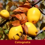
Aurigo sits within the olive oil heartland of western Liguria. The taggiasca olive — small, dark, and intensely flavoured — is the dominant cultivar on these terraces, producing an extra-virgin oil that is fruity, mild, and central to the local diet. It appears in everything: drizzled over fresh vegetables, used in the preparation of rabbit alla ligure, stirred into the region’s signature pesto. The olive itself, cured in brine, is as common on the table as bread. Focaccia, farinata (a thin chickpea-flour pancake), and fresh pasta such as trofiette and corzetti are staples of the cooking here, rooted in a tradition that values economy and flavour equally.
The village is too small to support a restaurant scene, but agriturismi and trattorias in the surrounding Impero Valley serve dishes drawn from this tradition. Seasonal wild herbs — borage, wild thyme, marjoram — are gathered from the surrounding hillsides and folded into fillings for pansoti, the region’s stuffed pasta. Local wine, often unlabelled and poured from carafes, accompanies meals with an honest, unpolished character. The Liguria regional tourism board provides updated listings of local producers and dining options in the valley.
Best time to visit Aurigo
Spring — late March through May — is ideal. The terraces are green, wildflowers cover the uncultivated margins, and temperatures at 431 metres sit comfortably between 15 and 22 degrees Celsius. This is the season for walking the trails without the coastal summer heat pressing down from above. Autumn, particularly October and November, brings the olive harvest: the nets appear beneath the trees, and the air carries the scent of fresh-pressed oil from the valley’s frantoi (olive mills).
Summer can be warm, though the altitude offers some relief compared to the coast. August sees the village at its most populated, as families with roots in Aurigo return from cities along the Riviera and beyond. Winter is quiet and occasionally cold, with mist filling the valley below while the village sits in clear air above. For those interested in local feast days, the patron saint celebrations — tied to the sanctuaries of San Paolo and Sant’Andrea — offer a chance to see the village gather. Check locally for specific dates, as schedules follow traditional rather than tourist calendars.
How to get to Aurigo
Aurigo is located in the Province of Imperia, in the western Ligurian hinterland. The nearest stretch of motorway is the A10 (Genova–Ventimiglia), with the most convenient exit at Imperia Est. From there, provincial roads climb inland through the Impero Valley toward the village — a drive of approximately 15 kilometres that takes around 25 minutes.
- From Imperia: 15 km, approximately 25 minutes by car via the SP28 and local roads ascending into the valley.
- From Genoa: approximately 130 km west along the A10, then inland from the Imperia exit. Travel time is roughly 1 hour 40 minutes.
- From Nice (France): approximately 100 km east via the A10/E80, crossing the border at Ventimiglia. Around 1 hour 30 minutes.
- Nearest railway station: Imperia, on the Genova–Ventimiglia coastal line. From the station, a car is needed to reach Aurigo, as public bus services to inland villages are limited and infrequent.
- Nearest airports: Nice Côte d’Azur (NCE), approximately 100 km; Genoa Cristoforo Colombo (GOA), approximately 140 km. Both offer car rental facilities.
There is no regular public transport service to Aurigo that can be relied upon for tourist visits. A rental car is strongly recommended for exploring the village and the wider Impero Valley.
More villages to discover in Liguria
Aurigo belongs to a wider constellation of Italian hilltop villages where small populations maintain traditions against the pressures of depopulation and modernity. While the western Ligurian hinterland offers dozens of similar settlements worth exploring, the pattern of life here — olive terraces, stone lanes, outlying sanctuaries — connects to a broader Italian phenomenon. In Puglia, for instance, Sant’Agata di Puglia sits at a comparable altitude on the Daunian sub-Apennines, commanding views across a very different landscape of wheat fields and wind turbines, yet sharing with Aurigo that quality of a community shaped entirely by its topography.
Further south in the same Puglia region, the village of Volturino offers another study in how altitude and isolation create distinctive local cultures. These villages, separated by hundreds of kilometres and different dialects, face similar questions about how to sustain community life in the twenty-first century. Visiting them together — even across separate trips — builds a layered understanding of rural Italy that no single destination can provide.
Frequently asked questions about Aurigo
What is the best time to visit Aurigo?
Spring (late March to May) is the ideal season: mild temperatures between 15–22°C, green terraces, and wildflowers along the trails make it perfect for walking. Autumn (October–November) is equally rewarding, coinciding with the taggiasca olive harvest when valley frantoi begin pressing fresh oil. The feast of the patron saint Paolo di Tarso falls on 29 June, offering a chance to experience the village during a traditional local celebration. August is the liveliest month as residents return from coastal cities, though trails can be warmer. Winter is quiet, with mist in the valley and clear air above.
What are the historical origins of Aurigo?
Aurigo developed during the medieval period on a ridge overlooking the Impero Valley, part of the network of hilltop settlements controlling routes between the Ligurian coast and the Piedmontese interior. Its name may derive from the Latin 'aurum' (gold), possibly referencing the local stone's warm hue or summer hillside colours. By the late Middle Ages the village had consolidated around its parish church and the narrow carruggi that still define it today. It subsequently fell within the sphere of the Republic of Genoa, sharing the broader political history of the western Ligurian interior.
What to see in Aurigo? Main monuments and landmarks
Aurigo's key sites include the Oratorio di San Giovanni Battista, a classic Ligurian confraternity oratory set along the village lanes; the Santuario di San Paolo, positioned among olive groves with open valley views; and the Santuario di Sant'Andrea, an outlying sanctuary reached via footpaths through terraced land. The Municipio anchors the historic centre, surrounded by ochre-painted facades and a network of covered carruggi with stone arches and external staircases. Opening hours for the religious buildings are not formally published; visiting during morning hours or around feast days offers the best chance of access.
What are the main natural or scenic attractions of Aurigo?
The defining natural feature of Aurigo is its system of dry-stone terraces, known locally as fasce, which descend from the village through taggiasca olive groves toward the Impero Valley floor. Walking trails connect the village to the valley and to the outlying sanctuaries, passing through cultivated and semi-wild hillside land. At 431 metres altitude, the surrounding slopes offer panoramic views across the valley. The terraced landscape, shaped over centuries without mortar and maintained by hand, represents one of the most significant examples of traditional Ligurian land management in the Province of Imperia.
Where to take the best photos in Aurigo?
The most photogenic moments in Aurigo come early in the morning, when light strikes the stone facades along Via Roma with a warm honey tone. The Municipio square provides a classic composition of ochre plaster and Ligurian hillside architecture. The Santuario di San Paolo, set among olive groves with the Impero Valley as a backdrop, offers a wider landscape shot. For elevated views over the terraced groves, the footpaths descending toward the valley floor provide natural vantage points at multiple levels, especially during the olive harvest in October and November when nets appear beneath the trees.
Are there museums, churches or historic buildings to visit in Aurigo?
Aurigo's religious heritage includes three documented buildings: the Oratorio di San Giovanni Battista, a single-nave confraternity oratory in the village centre; the Santuario di San Paolo, set at the edge of the settlement among olive groves; and the Santuario di Sant'Andrea, an outlying pilgrimage site reached on foot through agricultural terraces. All three reflect the restrained Ligurian building tradition using local stone. The Municipio is the principal civic building, with a characteristic ochre facade. No municipal museum is documented for Aurigo. Visiting times for the religious buildings are not formally listed; local enquiry is recommended.
What can you do in Aurigo? Activities and experiences
The primary activity in Aurigo is walking: trails descend through dry-stone olive terraces toward the Impero Valley, connecting the village to its outlying sanctuaries and to the valley floor. The routes offer direct access to the taggiasca olive landscape that defines this stretch of the Ligurian interior. During the October–November harvest season, visitors can observe — and sometimes participate in — the traditional olive picking on the fasce. The feast of San Paolo on 29 June provides a window into local communal life. Driving the provincial roads of the Impero Valley also allows exploration of neighbouring hilltop villages.
Who is Aurigo suitable for? Families, couples, hikers, solo travelers?
Aurigo suits travellers who value quiet, authenticity, and landscape over organised tourism infrastructure. It is particularly well matched to hikers and walkers drawn to the terraced olive groves and valley trails, and to couples seeking an unhurried base in the Ligurian interior. Food and olive oil enthusiasts will find the surrounding Impero Valley productive territory. Families with older children who enjoy walking and rural culture will appreciate the setting. It is not suited to visitors expecting restaurants, shops, or organised attractions: the village has 331 inhabitants and minimal tourist infrastructure. A rental car is essential.
What to eat in Aurigo? Local products and specialties
The dominant product of the Aurigo area is extra-virgin olive oil from the taggiasca cultivar — small, dark olives producing a fruity, mild oil central to the entire local diet. Taggiasca olives cured in brine are equally prevalent at the table. Traditional dishes from this part of the Province of Imperia include rabbit alla ligure, pansoti (stuffed pasta with wild herbs such as borage and marjoram), trofiette, corzetti, focaccia, and farinata (a thin chickpea-flour pancake). The village itself lacks a restaurant; trattorias and agriturismi serving these dishes can be found in the wider Impero Valley.
Nearby Villages near Aurigo
In Liguria More villages to discover
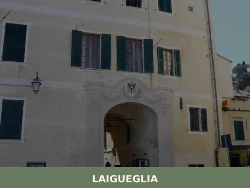
Laigueglia
What to see in Laigueglia, Italy: explore 5 top attractions, local food, and festivals in this Ligurian coastal village of 1,738 inhabitants. Discover the guide.
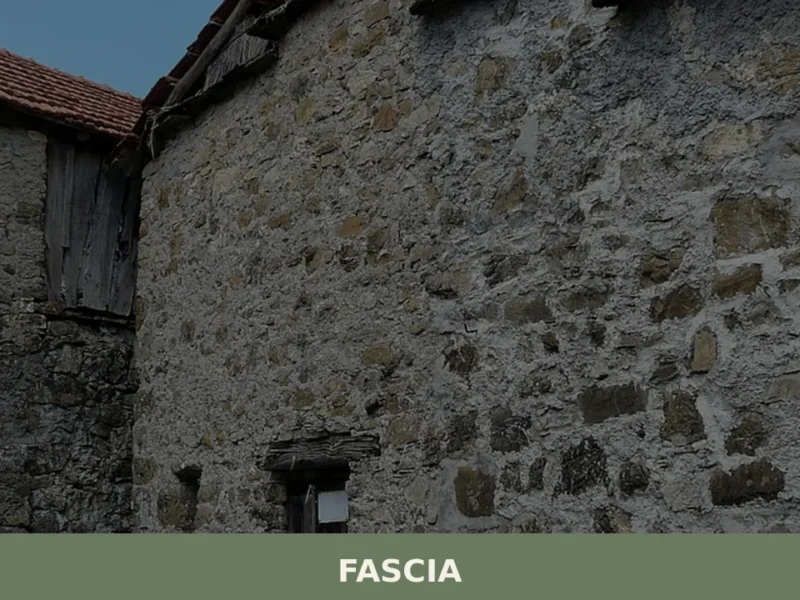
Fascia
At 1118 meters above sea level, Fascia, in the province of Genoa, stands out as one of Liguria’s highest municipalities, with a population of just 70 inhabitants. This demographic data, recorded in the last census, defines a setting of rare tranquility and a distinct mountain identity. For those wondering what to see in Fascia, it […]
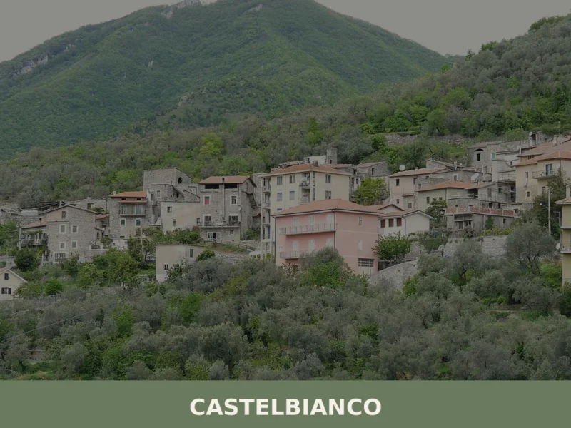
Castelbianco
What to see in Castelbianco, Italy: a village of 326 people, 80 km from Genoa. Discover top attractions, local food, and how to get there. Explore now.
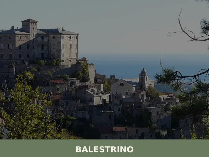
Balestrino
In 1963 a landslide forced the evacuation of the upper part of Balestrino, leaving the old village uninhabited and intact in its sixteenth- and seventeenth-century structure. Today the municipality has 530 residents, spread between the modern settlement in the valley below and the hillside hamlets, at 371 metres above sea level on the ridge separating […]
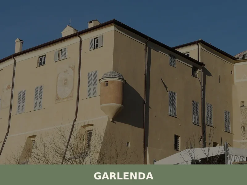
Garlenda
What to see in Garlenda, Liguria, Italy: explore a village of 1,200 inhabitants 80 km from Genoa. Discover top attractions, local food, and how to get there.
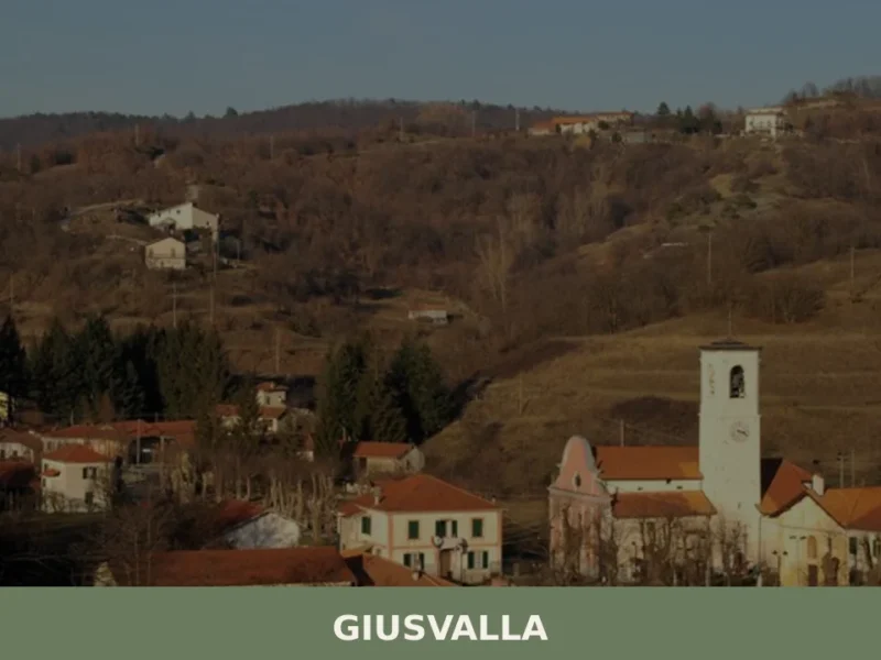
Giusvalla
What to see in Giusvalla, Italy: 465 inhabitants, 45 km from Genoa. Discover the Festa Patronale di S. Matteo, Bricco della Croce, and local Ligurian food traditions.
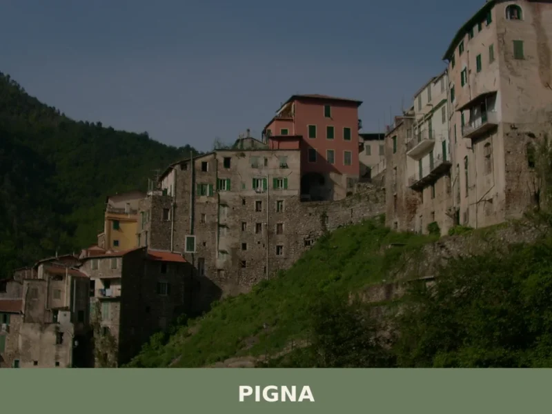
Pigna
What to see in Pigna: Explore this Ligurian village, home to 741 inhabitants, its historic tower, and ancient bridge. Discover Italy's rich past.
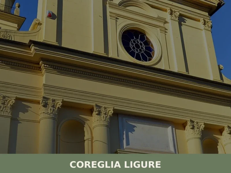
Coreglia Ligure
Coreglia Ligure, a comune of just 257 inhabitants in the province of Genova, sits at 65 metres above sea level on the eastern slope of the Fontanabuona valley — one of the most densely settled inland corridors of the Ligurian Apennines. The village’s economy historically revolved around slate extraction and olive cultivation, two activities that […]
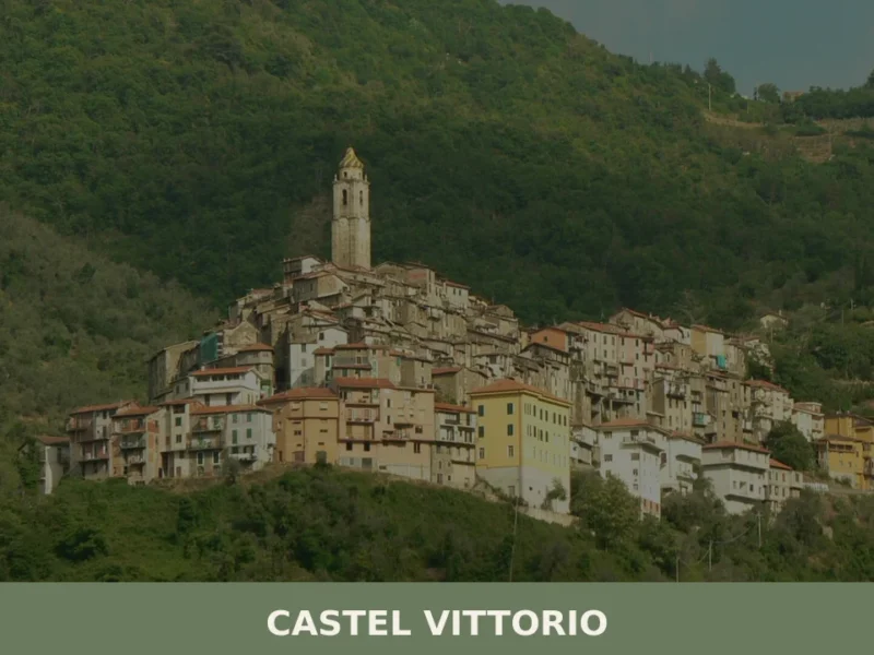
Castel Vittorio: Liguria’s Enduring Stone Village
What to see in Castel Vittorio, Liguria, Italy: at 420 m altitude, 261 inhabitants, parish art by Venusti & Maragliano. Discover top attractions & travel tips.
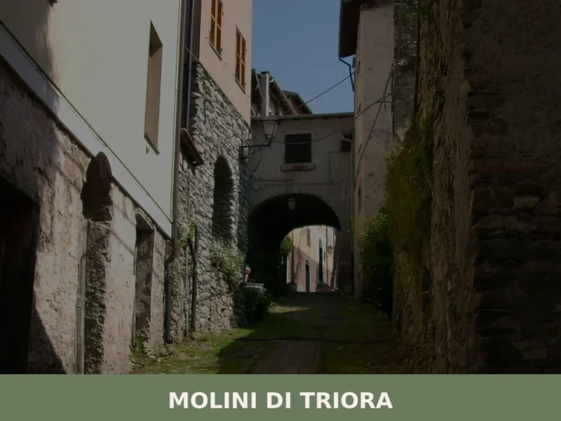
Molini di Triora
What to see in Molini di Triora, Italy: a village at 460 m in Liguria. Discover top attractions, local food, festivals and how to get there. Read the guide.


🏡 Know Aurigo better than we do?
If you’re a local or have been there, your knowledge matters: add what’s missing or fix a detail on this page.