


Giustenice
The Scaincio stream cuts through the Maremola Valley floor, and the path that follows it northward from San Lorenzo climbs steadily toward a ridgeline where the elevation crosses 1,200 m (3,937 ft). Above, the bulk of Monte Carmo reaches 1,389 m (4,557 ft), its limestone flanks visible for much of the valley. In this article […]
Discover Giustenice
The Scaincio stream cuts through the Maremola Valley floor, and the path that follows it northward from San Lorenzo climbs steadily toward a ridgeline where the elevation crosses 1,200 m (3,937 ft).
Above, the bulk of Monte Carmo reaches 1,389 m (4,557 ft), its limestone flanks visible for much of the valley.
Giustenice, with its population of 949, is not a single compact settlement but a scatter of small localities — Besso, Villa, Viletta, Costa, Valsorda, Foresto, Pianazzo, Serrati — each occupying a different fold of the terrain.
For visitors planning what to see in Giustenice, the answer begins with the geography: two principal localities, San Lorenzo and San Michele, serve as the practical centres of a comune (municipality) that belongs to the Province of Savona, in the Italian region of Liguria. The village sits about 60 km (37 mi) southwest of Genoa and 25 km (16 mi) southwest of Savona. Visitors to Giustenice find mountain scenery, valley walking routes, and a network of small settlements that together define the character of this inland Ligurian territory.
History of Giustenice
The name Giustenice derives from the Ligurian dialect forms Giustexine or Giüstexine, which are still used today by local speakers.
The Ligurian language, a Gallo-Italic variety historically spoken across coastal and inland Liguria, preserves place-name forms that differ substantially from standard Italian, and Giustenice is one of many inland comuni where this dual naming — Italian and Ligurian — reflects the layered linguistic history of the region. The territory’s position in the Maremola Valley, between the coastal strip near Pietra Ligure and the higher Ligurian Apennines, placed it along routes connecting the coast to the interior long before the modern road network existed.
The municipal boundaries of Giustenice touch those of four neighbouring communities: Bardineto to the north, Magliolo to the east, Pietra Ligure to the south, and Tovo San Giacomo to the west.
This positioning, at the junction of valley routes descending from the Apennine ridges toward the Ligurian Sea, gave the territory economic and strategic relevance during the medieval period.
Inland Ligurian settlements of this type typically developed as agricultural and pastoral communities, exploiting the valley floors for cultivation while using the higher ground for seasonal grazing. The scattered structure of Giustenice — with its localities of Besso, Villa, Viletta, Costa, Valsorda, Foresto, Pianazzo, and Serrati distributed across the slopes — reflects precisely this pattern of dispersed, resource-driven settlement.
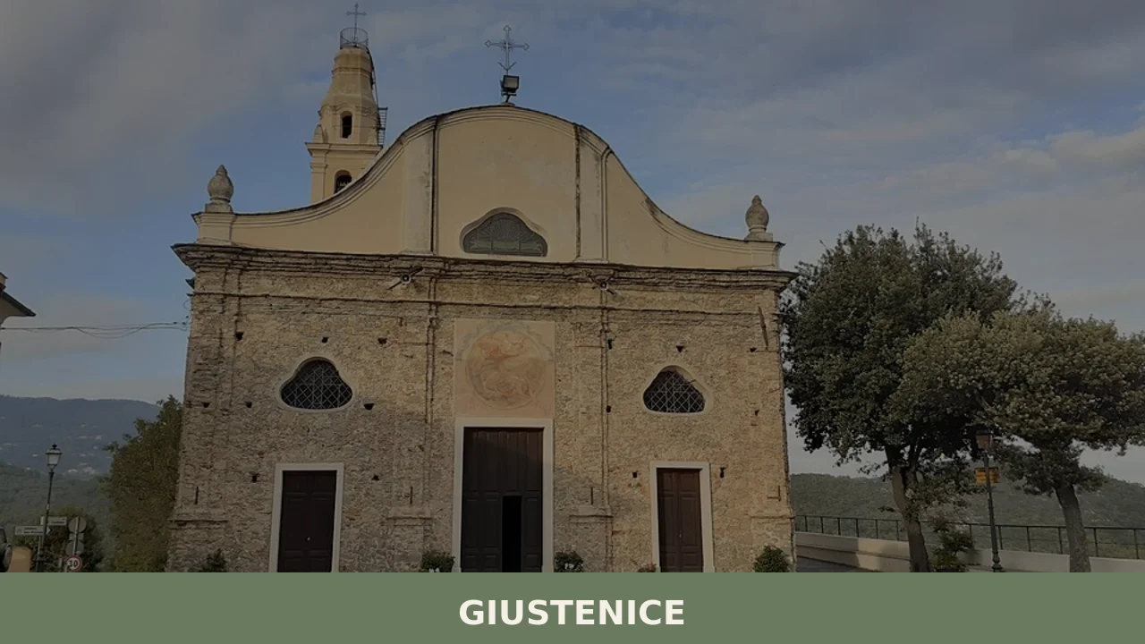
The grouping of the smaller localities around the two main centres, San Lorenzo and San Michele, suggests an ecclesiastical logic that was common throughout inland Liguria: local churches served as administrative and social anchors for the surrounding hamlets. San Lorenzo draws in the localities of Besso, Villa, and Viletta, while San Michele organises the more dispersed settlements of Costa, Valsorda, Foresto, Pianazzo, and Serrati.
This dual-parish structure, observable in the current geography of the comune, points to a period of consolidation in which the Church defined the practical boundaries of community life across what was, and remains, a fragmented mountain landscape.
What to see in Giustenice, Liguria: top attractions
Monte Carmo Summit and Ridge Trail
At 1,389 m (4,557 ft), Monte Carmo is the highest point in the area surrounding Giustenice, and its ridgeline forms the northern boundary of the Maremola Valley watershed.
The trail ascending from the valley floor covers a significant elevation gain — from the village area at roughly 300 m (984 ft) to the summit — making it a full-day route for most walkers. From the top, the view extends across the Ligurian Apennines toward both the coast and the Po plain. The best conditions for this ascent occur from late May through October, when snow has cleared from the upper slopes and the path is consistently passable.
Bric Agnellino
Standing at 1,335 m (4,380 ft), Bric Agnellino is the second significant peak in the Giustenice territory and offers an alternative high-altitude objective for those who have already covered Monte Carmo.
The name bric is a Ligurian and Piedmontese term for a rounded summit or isolated hill, and it appears frequently across the Ligurian Apennines to identify exactly this type of terrain feature. The approach from the Maremola Valley side follows the same general elevation profile as Monte Carmo but reaches a slightly lower, broader top. Walkers should allow three to four hours of moving time from the valley for a round trip to this summit.
Giovo di Giustenice
The Giovo di Giustenice, at 1,200 m (3,937 ft), is the third notable summit directly associated with the municipality and the one whose name explicitly references the village itself.
The term giovo or giogo in Ligurian and Italian mountain toponymy refers to a pass or yoke-shaped ridge, indicating that this feature historically functioned as a crossing point between valleys rather than merely a summit. Its elevation makes it accessible for a wider range of walkers compared to the higher peaks, and it serves as a useful orientation point for understanding the relationship between the Maremola Valley and the terrain to the north.
The trail access is most straightforward from the San Michele side of the municipality.
San Lorenzo Locality and Its Surrounding Hamlets
San Lorenzo is the larger of the two principal localities in Giustenice and anchors the lower, more valley-oriented part of the municipality. It draws together the hamlets of Besso, Villa, and Viletta, each of which sits within a short distance of the main settlement and connected by local roads and footpaths. The built fabric of these hamlets reflects the use of local stone construction typical of the Ligurian interior — solid, low structures adapted to a climate that brings significant snowfall at higher elevations in winter and heavy rain in autumn. Walking between San Lorenzo and its dependent localities takes between 20 and 40 minutes depending on the route chosen, and the path alongside the Scaincio stream is the most direct connection through the valley floor.
San Michele Locality and the Upper Valley Hamlets
San Michele sits higher in the Maremola Valley than San Lorenzo and serves as the organisational centre for the more dispersed eastern and upper localities: Costa, Valsorda, Foresto, Pianazzo, and Serrati.
Each of these small settlements occupies a distinct position on the valley sides, separated by agricultural terracing and sections of mixed woodland.
The road connecting San Michele to the outlying hamlets climbs and descends repeatedly, reflecting the corrugated topography of the upper valley. For those researching what to see in Giustenice beyond the main mountain summits, the San Michele cluster offers a direct experience of the dispersed settlement pattern that characterises this part of the Province of Savona. The locality is also the more practical base for approaches toward Bric Agnellino and the Giovo di Giustenice.
Local food and typical products of Giustenice
The food culture of the Maremola Valley draws on the same basic framework that defines inland Ligurian cooking: a reliance on what the mountain terrain produces rather than on the fish-centred diet of the coast 25 km (16 mi) to the south. The vertical distance between the coast and the Ligurian Apennine crest is short by any European standard, but it creates a sharp distinction in climate, vegetation, and therefore in what smallholders and farmers have traditionally grown, raised, and eaten.
Giustenice and its surrounding municipalities share this culinary boundary zone, where coastal ingredients — olive oil, some vegetables — meet Apennine staples: chestnuts, dried pulses, cured pork, and mushrooms collected from the mixed forests above 600 m (1,969 ft).
In the domestic cooking of the inland Savona valleys, chestnut preparations occupy a central role.
Dried chestnuts are ground into flour for flatbreads and porridges, or boiled with dried legumes in soups that use no stock other than the cooking water itself — a technique that concentrates flavour without adding fat. Vegetable tortes, made with whatever greens grow on the terraced plots, are bound with eggs and local cheese and baked in a wood-fired oven; the crust is thin, the filling dense.
Cured pork products from small family operations have historically filled the gap left by the absence of fresh meat supply chains: the altitude and cool air of the upper valley provide natural curing conditions that require no refrigeration through winter. These are not restaurant-menu items but household foods, occasionally sold at local markets in the surrounding communes.
No IGP, DOP, or other European certification has been documented for products specific to Giustenice in the available sources. The broader Province of Savona does contain certified production zones — the Riviera Ligure DOP olive oil zone extends along the coast — but the municipality of Giustenice falls in the inland upland area where the olive cultivation that drives coastal certification does not apply at this elevation.
Visitors interested in certified Ligurian products should look to the coastal markets of Pietra Ligure, the nearest town on the Ligurian coast, which lies directly south of Giustenice and within easy driving distance.
The most direct opportunity to encounter local food production is through the network of sagre — traditional food festivals tied to the agricultural calendar — that run across the Savona hinterland in late summer and autumn.
The months of September and October concentrate the largest number of these events across the inland communes of the province, coinciding with the chestnut harvest and the grape harvest further down the slopes. Specific dates for Giustenice events are confirmed through the municipal calendar, which visitors can check directly with the Comune di Giustenice ahead of their visit.
Festivals, events and traditions of Giustenice
The religious calendar of Giustenice organises community life around the two patron saints who give their names to the main localities: San Lorenzo and San Michele.
The feast of San Lorenzo falls on 10 August, placing it at the height of summer, and the feast of San Michele falls on 29 September, in the early autumn. Both dates carry liturgical celebrations that in inland Ligurian villages typically include a votive Mass, a procession through the locality streets, and communal gathering afterward.
The late-September date of San Michele coincides with the beginning of the chestnut season, which in practice means that the autumn feast tends to incorporate elements of the harvest cycle alongside the purely religious observances.
The dispersed structure of the municipality — with its eight smaller localities spread across both the San Lorenzo and San Michele catchment areas — means that local traditions are maintained at a small scale, within individual hamlets as much as at the level of the whole comune.
Specific documented details of musical programming, fireworks, or food market organisation for these feasts are best confirmed through the municipality directly, as schedules can vary from year to year depending on volunteer availability and local organising committees. What the sources confirm is the dual-parish structure and the two feast dates; the practical shape of the celebrations belongs to the lived calendar of the village itself.
When to visit Giustenice, Italy and how to get there
The best time to visit Giustenice depends on what draws you there. For mountain walking — the primary outdoor activity the territory offers, given the presence of Monte Carmo, Bric Agnellino, and the Giovo di Giustenice — the window runs from late May through early October. Snow can persist on the higher ridges above 1,200 m (3,937 ft) into April, and autumn rain arrives reliably from mid-October onward.
Late June and September offer the most stable conditions: long daylight hours, lower visitor numbers than the coastal resorts, and temperatures on the upper trails that stay below 25°C (77°F) even at midday.
For those whose priority is the local festival calendar, the feast dates of 10 August and 29 September define the summer and autumn peaks respectively. Winter visits are possible but the upper localities can be cut off by snow, and services in the smaller hamlets operate on reduced schedules from November through March.
Giustenice, Liguria, Italy sits 60 km (37 mi) southwest of Genoa, making it a feasible day trip from the Ligurian capital. By car, the most direct route from Genoa uses the A10 motorway toward Savona and then the A6 or the coastal road, with the final section ascending into the Maremola Valley on provincial roads. From Savona, the drive covers approximately 25 km (16 mi) and takes around 30 minutes.
The nearest railway station is at Pietra Ligure on the coastal Genoa–Ventimiglia line, operated by Trenitalia; from the station, a local bus or taxi covers the 8–10 km (5–6 mi) climb into the valley.
The nearest international airport is Cristoforo Colombo Airport in Genoa, approximately 70 km (43 mi) to the northeast, with a transfer time of roughly one hour by car under normal conditions. International visitors should be aware that English is rarely spoken in the smaller shops and hamlets of the municipality; carrying cash in Euros is practical, as card payment infrastructure in rural inland Liguria is inconsistent. Those arriving from further afield — Milan is approximately 180 km (112 mi) to the north — can reach Savona by train in under two hours and then continue by road.
Visitors organising a broader itinerary in this part of Liguria can combine Giustenice with a stop at Genoa, which anchors the northeastern end of the Ligurian coast and serves as the main transport hub for the region.
Those interested in inland Ligurian landscapes further west might also consider Dolceacqua, a village in the western Ligurian interior with a documented medieval layout and a position above the Nervia Valley that shares structural similarities with the mountain-valley geography of Giustenice.
For a complete picture of what to see in Giustenice and its surrounding territory, building in at least one night’s stay in the Savona hinterland allows time to cover the valley floor, the upper hamlets, and at least one of the three main summit routes at a reasonable pace rather than rushing all of it into a single afternoon from the coast.
Frequently asked questions about Giustenice
What is the best time to visit Giustenice?
The ideal window for visiting Giustenice is late May through October. From late May onward, snow has cleared from the upper slopes of Monte Carmo (1,389 m) and Bric Agnellino (1,335 m), making the high-altitude trails consistently passable. Summer months offer cooler temperatures than the nearby coast, making valley walks along the Scaincio stream particularly pleasant. Autumn brings mushroom season in the mixed forests above 600 m and the harvest period for chestnuts. Winter can bring significant snowfall at higher elevations, limiting trail access but offering a quieter experience of the dispersed hamlets.
What are the historical origins of Giustenice?
The name Giustenice derives from the Ligurian dialect forms Giustexine or Giüstexine, still used by local speakers today. The territory developed as an agricultural and pastoral community occupying the Maremola Valley, positioned along routes connecting the Ligurian coast to the Apennine interior. Its scattered structure — with localities including Besso, Villa, Viletta, Costa, Valsorda, Foresto, Pianazzo, and Serrati — reflects dispersed, resource-driven medieval settlement. The dual-parish organisation around San Lorenzo and San Michele indicates that the Church served as the primary administrative and social anchor for the surrounding hamlets throughout the medieval period.
What to see in Giustenice? Main monuments and landmarks
Giustenice's two principal localities, San Lorenzo and San Michele, form the practical centres of the comune and are the starting points for exploration. San Lorenzo gathers the hamlets of Besso, Villa, and Viletta, connected by footpaths and the route along the Scaincio stream (20–40 minutes on foot between hamlets). San Michele, set higher in the valley, organises the upper hamlets of Costa, Valsorda, Foresto, Pianazzo, and Serrati. The local stone architecture — solid, low structures built to withstand mountain winters — characterises both centres. San Michele is also the most practical base for approaches to Bric Agnellino and the Giovo di Giustenice pass.
What are the main natural and scenic attractions of Giustenice?
Three summits define the high-altitude landscape of Giustenice. Monte Carmo (1,389 m / 4,557 ft) is the area's highest peak, reached by a full-day trail from the valley floor with panoramic views across the Ligurian Apennines toward both the coast and the Po plain. Bric Agnellino (1,335 m / 4,380 ft) offers a three-to-four-hour round trip from the valley. The Giovo di Giustenice (1,200 m / 3,937 ft) is a historically significant mountain pass accessible to a wider range of walkers, with the most straightforward approach from the San Michele side. The Scaincio stream trail through the Maremola Valley floor provides easy low-altitude walking.
Where to take the best photos in Giustenice?
The summit of Monte Carmo (1,389 m) offers the most expansive viewpoint in the territory, with sightlines stretching across the Ligurian Apennines toward the coast and the Po plain — best reached between late May and October. The Giovo di Giustenice pass (1,200 m) provides a panoramic vantage point over both the Maremola Valley and the terrain to the north. At valley level, the path along the Scaincio stream between San Lorenzo and the dependent hamlets captures the stone-built rural architecture and terraced agricultural landscape characteristic of the inland Province of Savona.
What can you do in Giustenice? Activities and experiences
Hiking is the primary activity in Giustenice. Three documented high-altitude objectives exist: the full-day ascent to Monte Carmo (1,389 m), the three-to-four-hour round trip to Bric Agnellino (1,335 m), and the more accessible walk to the Giovo di Giustenice pass (1,200 m), best approached from San Michele. Valley-level walking follows the Scaincio stream northward from San Lorenzo. In autumn, foraging for mushrooms in the mixed forests above 600 m is a traditional local activity. The coastal town of Pietra Ligure, 25 km south and directly connected to Giustenice, extends the range of activities to include beaches and coastal markets.
Who is Giustenice suitable for? Families, couples, hikers, solo travelers?
Giustenice suits hikers and outdoor enthusiasts most directly: three documented mountain objectives — Monte Carmo, Bric Agnellino, and Giovo di Giustenice — cover a range of difficulty levels from the accessible pass at 1,200 m to the full-day summit at 1,389 m. The valley trail along the Scaincio stream is suitable for families with children and less experienced walkers. Couples and solo travelers seeking a quiet, uncrowded inland Ligurian experience will find the dispersed hamlet structure and mountain scenery rewarding. Those who want beach access alongside mountain walks benefit from the proximity of Pietra Ligure, 25 km to the south.
What to eat in Giustenice? Local products and specialties
The food culture of Giustenice is rooted in the inland Ligurian Apennine tradition rather than the coastal diet. Key preparations include chestnut-flour flatbreads and porridges, boiled dried chestnuts with legumes in no-stock soups, and baked vegetable tortes made with terrace-grown greens, eggs, and local cheese. Cured pork products from small family operations are traditional, benefiting from the cool upper-valley air as a natural curing environment. No European DOP or IGP certification has been documented specifically for Giustenice. For certified Ligurian products, including Riviera Ligure DOP olive oil, the coastal markets of nearby Pietra Ligure are the recommended destination.
📷 Photo Gallery — Giustenice
Nearby Villages near Giustenice
In Liguria More villages to discover
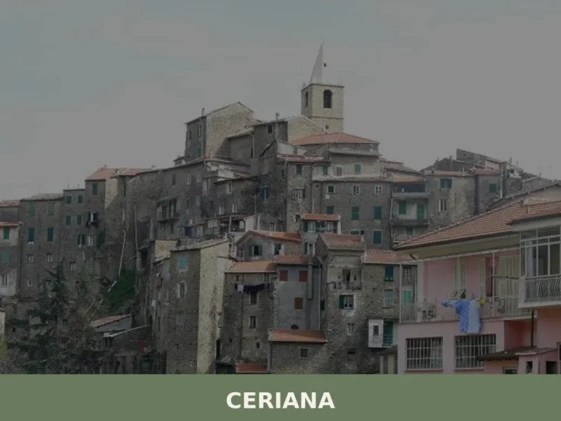
Ceriana: A Ligurian Hill Village Guide
What to see in Ceriana, Italy: Explore this Ligurian village at 369 m (1,211 ft) altitude. Discover historical sites and lively festivals. Read our guide.
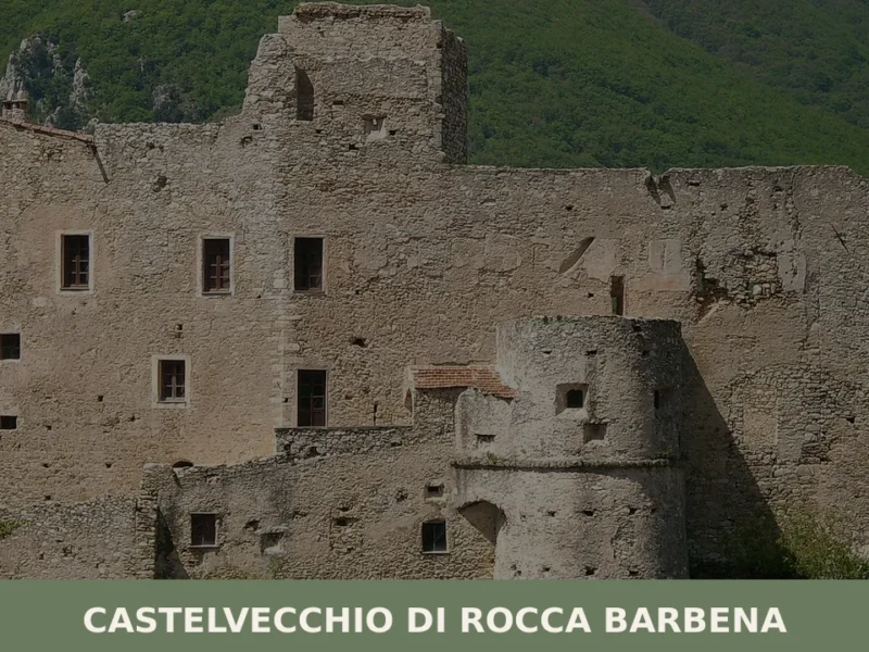
Castelvecchio di Rocca Barbena
What to see in Castelvecchio di Rocca Barbena, Liguria, Italy: explore a 9th-century castle, 166 inhabitants, 70 km from Genoa. Discover top attractions and travel tips.
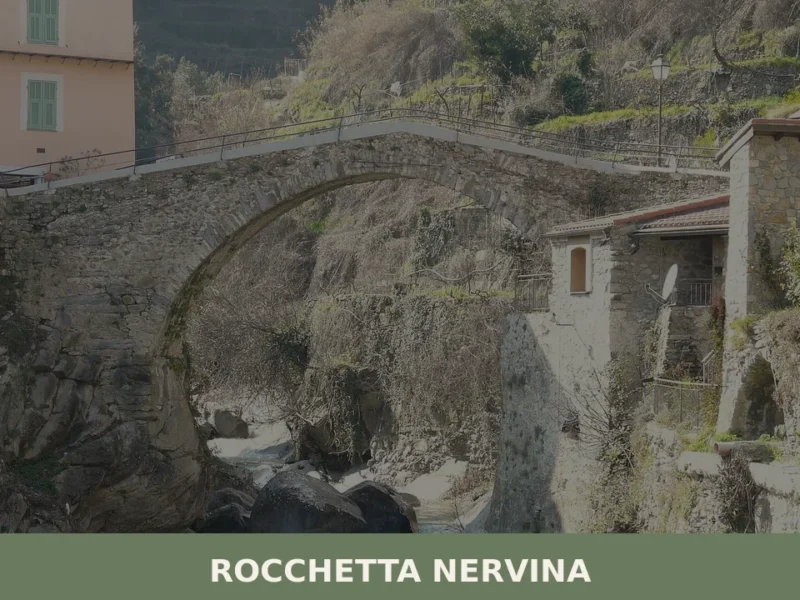
Rocchetta Nervina
What to see in Rocchetta Nervina, Italy: discover the village (population 275) near the Ligurian Alps Regional Park. Explore its unique location bordering France and the Barbaira stream.
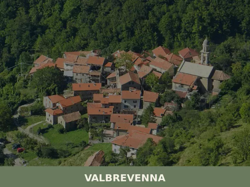
Valbrevenna
what to see in valbrevenna, Italy: Explore the Ligurian Apennines. With 817 inhabitants, discover hiking in Antola Park and traditional hamlets. Read our guide.
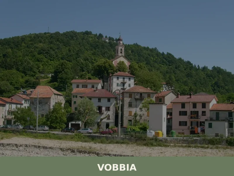
Vobbia
What to see in Vobbia, Italy? Explore this Ligurian village of 453 inhabitants, a gateway to Antola Regional Natural Park and its scenic trails. Discover local architecture and panoramic views.
Vasia
What to see in Vasia, Liguria, Italy: explore a village of 418 inhabitants 9 km from Imperia. Discover top attractions, local food, and how to get there.
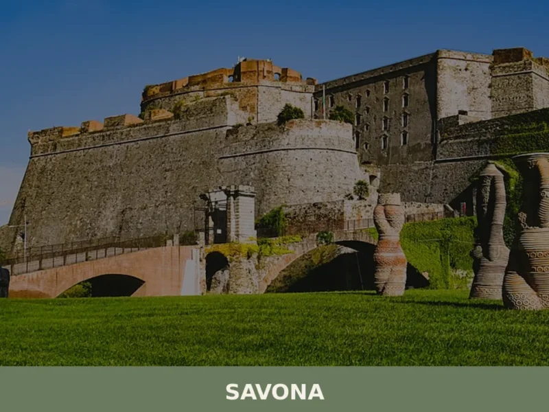
Savona
A port town of 58,500 souls on Liguria's western coast, Savona bridges medieval urban fabric with centuries of maritime trade and religious devotion.
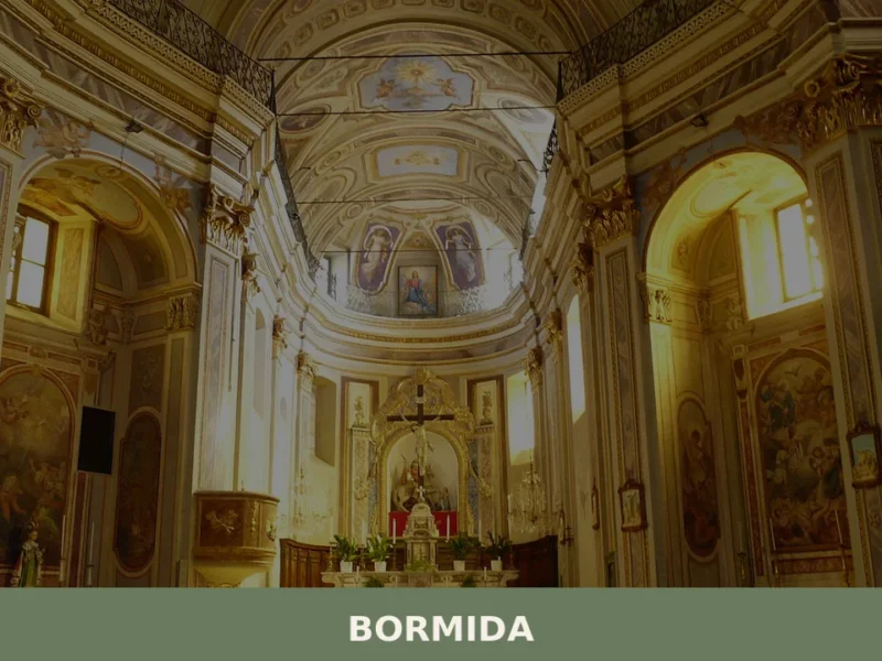
Bormida
The Bormida di Pallare runs cold through the upper valley, cutting between the flanks of Monte Settepani at 1,386 m (4,547 ft) and Ronco di Maglio at 1,108 m (3,635 ft). Iron was worked here for centuries, and the name of at least one surviving building still carries that industrial memory. The village covers 22.4 […]
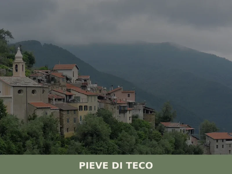
Pieve di Teco
What to see in Pieve di Teco, Liguria, Italy: explore 5 top attractions, local food, and how to get there. Population 1,411. Discover this Ligurian village.
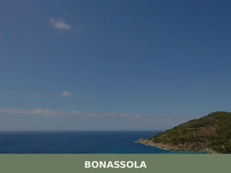
Bonassola
Bonassola’s single-track railway station, opened in 1874 as part of the Genoa–La Spezia line, brought the first outsiders to a coastal settlement that had survived for centuries on olive oil, wine, and anchovies. Today this compact village of 794 inhabitants sits at six metres above sea level along the Riviera di Levante, its beach one […]


🏡 Know Giustenice better than we do?
If you’re a local or have been there, your knowledge matters: add what’s missing or fix a detail on this page.