


Camporgiano
What to see in Camporgiano, Italy: a hilltop comune at 475 m in Garfagnana, Toscana. Discover the fortress, San Iacopo feast and local chestnut traditions.
Discover Camporgiano
The ridge on which Camporgiano stands faces the Serchio valley at 475 m (1,558 ft) above sea level, and on clear days the line of the Apuan Alps closes the horizon to the west like a pale stone wall.
The comune borders five municipalities — Careggine, Castelnuovo di Garfagnana, Piazza al Serchio, San Romano in Garfagnana and Vagli Sotto — each occupying a distinct fold of the Garfagnana upland.
With a population of 2,276, the settlement is compact enough to read in a single morning on foot, yet its position at the meeting point of several valley routes has shaped its political and economic history for several centuries.
Deciding what to see in Camporgiano is a matter of understanding its dual character: a hilltop administrative centre with a documented medieval fortress history and a working agricultural commune embedded in one of Tuscany’s most productive chestnut and grain territories.
Visitors to Camporgiano find the comune situated about 90 km (56 mi) northwest of Florence and about 40 km (25 mi) northwest of Lucca, placing it within realistic day-trip range of both cities.
The altitude, the valley views, the patron saint feast on 25 July and the Garfagnana food traditions together form the practical core of any visit.
History of Camporgiano
The name Camporgiano derives from the Latin campus, meaning open field or plain, combined with a personal or topographic suffix that recurs in several Garfagnana place names of medieval origin.
The Garfagnana territory, in which Camporgiano sits, was long disputed between the Bishops of Lucca, the Este family of Ferrara and the Republic of Lucca. Control over hilltop positions such as this one carried military value because they commanded access routes through the Serchio valley, the main corridor connecting the Tyrrhenian lowlands to the Emilian passes.
The Este dominion over Garfagnana, which lasted from the early fifteenth century until the Napoleonic reorganisation of the Italian peninsula, left administrative and architectural traces throughout the zone.
During the Este period, the fortress at Camporgiano served as a seat of local governance.
The poet Ludovico Ariosto, author of Orlando Furioso, held the post of Governor of Garfagnana under the Este from 1522 to 1525, administering the territory from Castelnuovo di Garfagnana, the chief town roughly 5 km (3.1 mi) from Camporgiano. The proximity of the two centres meant that Camporgiano’s fortress was directly integrated into the Este administrative network during that period.
Tax records, grain levies and boundary disputes from the sixteenth century document the village’s role as a local collection and control point for the surrounding rural parishes.
After the Unification of Italy in 1861, Camporgiano was confirmed as an autonomous comune within the Province of Lucca, retaining that administrative status through all subsequent territorial reorganisations.
The twentieth century brought demographic pressure as younger residents moved toward industrial centres in the Lucca plain and the Versilia coast, a pattern common to most Garfagnana hill communes. Today, with 2,276 registered inhabitants, Camporgiano functions as a municipal seat for the surrounding scattered hamlets, maintaining public services and a calendar of civic and religious events anchored to the feast of its patron saint, San Iacopo.
What to see in Camporgiano, Toscana: top attractions
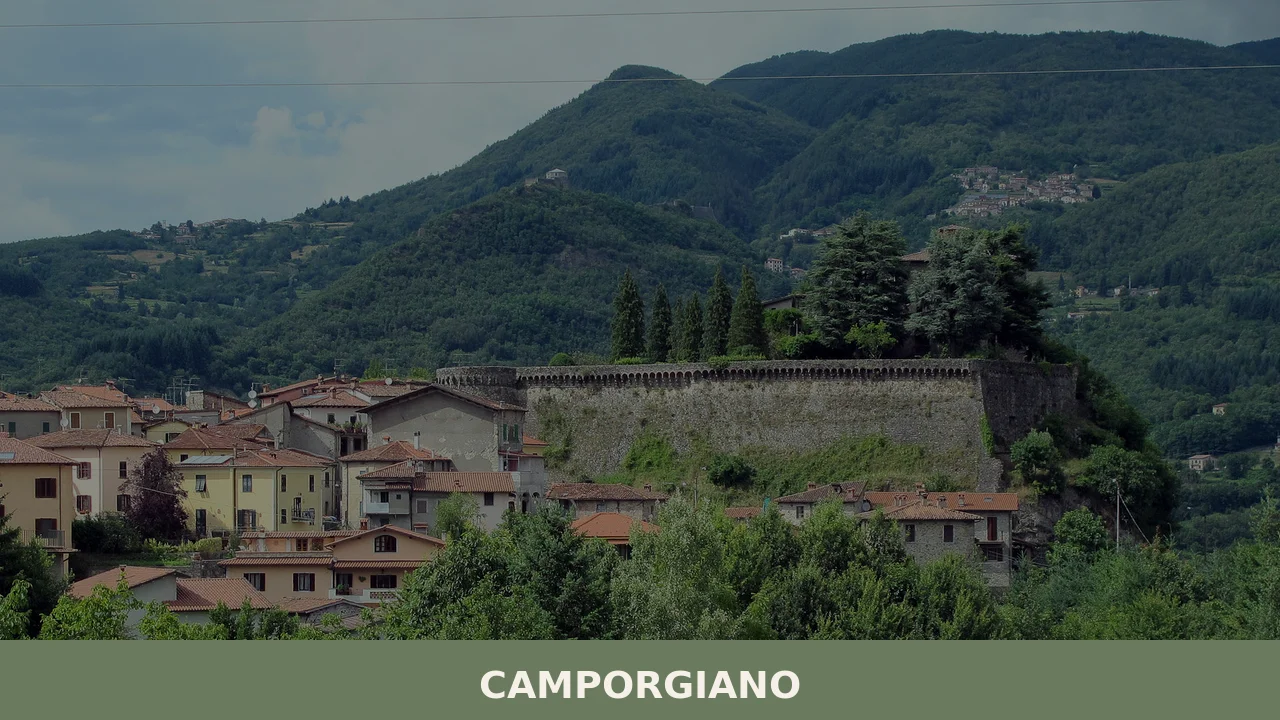
The Medieval Fortress of Camporgiano
The fortress occupies the highest point of the built area at 475 m (1,558 ft), and its masonry — courses of local grey sandstone laid in irregular bond — is visible from the approach road well before the village itself comes into full view.
The structure dates to the medieval period and was reinforced during the Este administration of Garfagnana, which ran from the early 1400s through the late eighteenth century.
Standing at the base of the walls, a visitor can read the different construction phases in the varying stone coursing and mortar colour.
The fortress is the architectural focal point when considering what to see in Camporgiano, and the best light for photography falls on the northern face in the morning hours.
The Parish Church of San Iacopo
The parish church is dedicated to San Iacopo — Saint James — whose feast on 25 July organises the village’s principal annual gathering. The building’s facade faces a small paved square that also serves as the practical centre of the village, where the roads from the lower hamlets converge. Internally, the church preserves votive objects and devotional furnishings accumulated over several centuries of continuous liturgical use.
The dedication to San Iacopo places Camporgiano within the broader network of Jacobean devotion that spread through northern Tuscany along medieval pilgrimage routes connecting the Italian peninsula to Santiago de Compostela in Spain.
Visitors should note that the church is generally accessible during morning hours and before and after Sunday Mass.
The Panoramic Viewpoint over the Serchio Valley
From the upper perimeter of the village, the Serchio valley drops away below the ridge at a measurable vertical interval that makes the valley floor appear as a narrow strip of flat land between opposing mountain flanks. The Apuan Alps, reaching elevations above 1,800 m (5,906 ft) at their highest points, form the western wall of the panorama.
To the north, the valley narrows toward the Emilian Apennines.
This viewpoint functions as an orientation tool: it clarifies why Camporgiano’s ridge position held strategic value for centuries, controlling sightlines over movement in both directions along the valley corridor. The best visibility conditions occur between October and April, when the atmosphere is cleaner and the deciduous woodland has lost its foliage.
The Historic Village Centre and Its Street Layout
The internal street plan of Camporgiano follows the contour lines of the ridge, with the main lane running roughly parallel to the crest and secondary alleys dropping steeply toward the terraced slopes below. The building stock is predominantly stone, with slate and clay-tile roofing that reflects the material resources of the Garfagnana upland rather than the terracotta traditions of the warmer Tuscan lowlands.
Several doorways retain carved stone lintels with date inscriptions from the sixteenth and seventeenth centuries, which correspond to the period of maximum economic activity under the Este.
Walking the full circuit of the historic centre takes approximately 20 to 30 minutes at a measured pace, covering a linear distance of roughly 600 m (1,969 ft) on the main loop.
The Surrounding Municipal Territory and Bordering Communes
Camporgiano’s municipal boundary touches five other comuni — Careggine, Castelnuovo di Garfagnana, Piazza al Serchio, San Romano in Garfagnana and Vagli Sotto — and each border crossing opens onto a distinct landscape type.
The road toward Vagli Sotto leads within a few kilometres to the reservoir of Lago di Vagli, an artificial lake created in 1953 whose fluctuating water level periodically exposes the submerged ruins of the village of Fabbriche di Careggine.
The municipal road network connecting these villages is maintained by the Province of Lucca and is passable by standard vehicle year-round, though winter ice on the higher sections above 600 m (1,969 ft) can require caution between December and February.
Local food and typical products of Camporgiano
The food traditions of the Garfagnana upland, the sub-region in which Camporgiano sits, are defined by the constraints and resources of mountain agriculture: chestnut woodland, small cereal fields cultivated at altitude, sheep and goat rearing on the upper pastures, and river fishing in the Serchio and its tributaries. These conditions produced a cuisine built on preservation, caloric density and the transformation of raw materials that could be grown, gathered or raised within walking distance of the village.
The Garfagnana has been documented as a distinct culinary zone within Tuscany since at least the early modern period, when Este taxation records itemised local agricultural production with some precision.
Among the dishes most directly associated with this territory, polenta di farro — a porridge made from emmer wheat rather than maize, cooked slowly in copper pots and finished with local pork fat or sheep’s cheese — represents the oldest documented grain preparation of the zone.
Necci are thin crêpes made from chestnut flour, cooked between cast-iron plates called testi, and eaten plain or filled with fresh ricotta; the technique requires specific iron moulds that were passed down within families and are still found in local households.
Monteboro, a lard-cured pork product prepared with garlic and rosemary, reflects the pig-rearing tradition that was once the primary source of winter protein in upland communes like Camporgiano. Zuppa di farro, a thick soup combining emmer wheat with beans, seasonal vegetables and cured pork rind, appears on the menus of the few trattorie operating in the Garfagnana valley towns throughout the colder months.
Two products connected to the Camporgiano territory carry recognised status under Italian agricultural quality schemes.
The Farro della Garfagnana (IGP — Indicazione Geografica Protetta) is an emmer wheat cultivated in the Garfagnana municipalities including the Camporgiano area, recognised for its specific growing conditions at altitude and its resistance to the short, cool growing season of the Apennine foothills.
The Castagne della Garfagnana (IGP) covers dried and fresh chestnuts produced across the Garfagnana zone, including the chestnut woodlands that cover a significant portion of Camporgiano’s municipal territory.
Both IGP designations require that cultivation, harvesting and initial processing take place within the defined geographic zone.
Local agricultural products are most accessible in autumn, between October and November, when the chestnut harvest drives small markets and roadside stalls in the valley towns. The sagra, a traditional local food festival, format is common across the Garfagnana in this season, with events in nearby Castelnuovo di Garfagnana and surrounding communes offering direct purchase of farro and chestnut flour from producers.
International visitors should carry cash, as smaller producers and village shops in the Garfagnana typically do not accept card payments.
Festivals, events and traditions of Camporgiano
The feast of San Iacopo, celebrated on 25 July, is the defining annual event in Camporgiano’s civic and religious calendar.
The day follows the structure common to Tuscan hilltop communes: a morning Mass in the parish church dedicated to the saint, followed by a formal procession through the main streets of the historic centre, with the statue of San Iacopo carried by members of the local confraternity.
The afternoon and evening open into a more informal gathering, with outdoor tables, locally prepared food and, in most years, fireworks launched from the upper edge of the ridge after nightfall. The feast draws back residents who have relocated to the valley towns and to the Lucca plain, functioning as an annual point of return for the broader community tied to the village.
Beyond the patron saint feast, Camporgiano participates in the wider cycle of Garfagnana seasonal events.
The chestnut harvest season in October and November brings informal gatherings and small markets to the municipality, consistent with the agricultural calendar that has organised upland life in this part of Tuscany for several centuries.
The Carnevale period in February and the summer months of July and August represent the two peaks of village social activity, with the July feast of San Iacopo marking the summer high point. Visitors who time their arrival to coincide with the 25 July feast will find the village at its most active, with food stalls and live music extending the day well into the evening.
When to visit Camporgiano, Italy and how to get there
The best period to visit Camporgiano falls between late April and early June, and again between mid-September and late October.
Spring brings the deciduous woodland into full leaf on the surrounding slopes and keeps daytime temperatures at the 475 m (1,558 ft) altitude in a comfortable range of 14–20°C (57–68°F), without the summer heat that raises temperatures in the valley floor.
Autumn combines the visual effect of the turning chestnut and beech woodland with the practical opportunity to buy farro and chestnut products directly from producers.
July is viable for those specifically targeting the San Iacopo feast on the 25th, though summer weekends bring more vehicle traffic to the narrow valley roads. Winter visits between December and February are possible but require awareness that roads above 600 m (1,969 ft) can carry ice, and several valley-town services operate on reduced schedules.
Camporgiano, Toscana, Italy sits about 90 km (56 mi) northwest of Florence and about 40 km (25 mi) northwest of Lucca, making both cities realistic starting points for a day trip. From Florence, the standard road route follows the A11 motorway toward Lucca, then the SS12 state road north through the Serchio valley to the Garfagnana, with the total drive taking approximately 1 hour 30 minutes under normal traffic conditions.
From Lucca, the same SS12 covers the 40 km (25 mi) to the Castelnuovo di Garfagnana area in about 45 minutes, with Camporgiano reachable within a further 10 minutes by local road.
Those travelling by rail can reach Castelnuovo di Garfagnana on the Trenitalia Lucca–Aulla regional line, a journey of approximately 1 hour 15 minutes from Lucca, and then continue the final 5 km (3.1 mi) to Camporgiano by taxi or local bus.
The nearest international airport is Pisa Galileo Galilei, approximately 85 km (53 mi) to the southwest, from which a car rental provides the most direct connection. International visitors should be aware that English is not widely spoken in smaller shops and service points in the Garfagnana, and carrying euro cash is strongly advisable.
The official municipality website of Camporgiano publishes current service information and local event dates.
For those planning a broader itinerary through northern Tuscany, the route between Camporgiano and Prato, which lies roughly 75 km (46.6 mi) to the southeast via the Lucca plain, connects two quite different expressions of the region — the Garfagnana upland commune and the industrial textile city at the edge of the Arno basin — and can be managed comfortably within a single day if transport is by private car. Visitors extending their Tuscan itinerary southward may also consider a stop at Siena, approximately 180 km (112 mi) from Camporgiano, as part of a multi-day route through the region.
Frequently asked questions about Camporgiano
What is the best time to visit Camporgiano?
Late spring (May–June) and early autumn (September–October) offer mild temperatures at 475 m altitude and clear views over the Serchio valley and Apuan Alps. The principal annual event is the feast of San Iacopo on 25 July, which anchors the village's main civic and religious gathering and is the best occasion to experience local traditions firsthand. For panoramic photography and visibility, October through April is preferable, when the atmosphere is cleaner and deciduous woodland has shed its foliage, sharpening the sightlines toward the Apuan Alps.
What are the historical origins of Camporgiano?
The name derives from the Latin campus (open field or plain) combined with a topographic suffix common to medieval Garfagnana place names. The village's strategic ridge position made it a contested point between the Bishops of Lucca, the Este family of Ferrara and the Republic of Lucca. Under Este rule (early 15th century to the late 18th century), the local fortress served as a seat of governance. Camporgiano was part of the territory administered by poet Ludovico Ariosto, Governor of Garfagnana under the Este from 1522 to 1525, based 5 km away in Castelnuovo di Garfagnana.
What to see in Camporgiano? Main monuments and landmarks
The three principal sites are the Medieval Fortress, the Parish Church of San Iacopo, and the panoramic viewpoint over the Serchio valley. The fortress occupies the highest point of the village and is visible from the approach road; its stonework records distinct Este-era construction phases. The church, dedicated to the patron saint, faces the central square where valley roads converge and is accessible during morning hours and around Sunday Mass. The full circuit of the historic centre — stone lanes, contour-following streets and carved 16th–17th-century lintels — takes 20 to 30 minutes on foot.
What are the main natural or scenic attractions near Camporgiano?
Camporgiano's municipal territory borders five communes, and the road toward Vagli Sotto leads within a few kilometres to Lago di Vagli, an artificial reservoir created in 1953. When water levels drop, the submerged ruins of the village of Fabbriche di Careggine become partially visible — a documented and well-known spectacle in the Garfagnana. The surrounding slopes are covered by chestnut woodland, part of the Castagne della Garfagnana IGP production zone. The valley roads are passable year-round, though caution is advised on sections above 600 m between December and February due to ice.
Where to take the best photos in Camporgiano?
Two spots offer the strongest photographic opportunities. The upper perimeter of the village provides an unobstructed view of the Serchio valley floor and the Apuan Alps to the west, best shot between October and April when air clarity is highest and deciduous foliage is absent. The northern face of the Medieval Fortress receives the best natural light during morning hours, allowing the grey sandstone coursing to be read clearly. The central square in front of the Church of San Iacopo offers a compact architectural frame combining the church facade and the surrounding historic stone buildings.
Are there churches or historic buildings to visit in Camporgiano?
The Parish Church of San Iacopo is the principal religious building, situated on the central square where the roads from the lower hamlets meet. It preserves votive objects and devotional furnishings from several centuries of continuous use, and its dedication connects Camporgiano to the broader medieval pilgrimage network linking northern Tuscany to Santiago de Compostela. The church is generally open during morning hours and before and after Sunday Mass. The Medieval Fortress is the other major historic structure; several doorways in the historic centre also retain carved stone lintels with date inscriptions from the 16th and 17th centuries.
What can you do in Camporgiano? Activities and experiences
Camporgiano suits slow, independent exploration. Walking the full circuit of the historic centre takes 20 to 30 minutes; the ridge viewpoint and fortress walls add natural pauses. The village sits within short driving distance of Lago di Vagli and Castelnuovo di Garfagnana (5 km), making it a practical base for exploring the wider Garfagnana. The feast of San Iacopo on 25 July provides the main calendar event. Food-focused visitors can seek out local trattorie in the valley towns for farro-based dishes and chestnut products, both tied to the territory through IGP designations.
Who is Camporgiano suitable for? Families, couples, hikers, solo travelers?
Camporgiano suits visitors who prefer quiet, unhurried hilltop villages over busy tourist centres. Couples and solo travellers with an interest in medieval history, Tuscan hill landscapes and Garfagnana food traditions will find the most to engage with. The compact scale — readable in a single morning on foot — and easy car access make it manageable for families with older children. Hikers and nature-oriented visitors benefit from the proximity to Lago di Vagli and the chestnut woodland territory. It is not suited to those seeking beaches, nightlife or large-scale museum infrastructure.
What to eat in Camporgiano? Local products and specialties
Two IGP-certified products are directly tied to the Camporgiano area. Farro della Garfagnana IGP is an emmer wheat grown at altitude in Garfagnana municipalities including Camporgiano, used in polenta di farro — cooked slowly with local pork fat or sheep's cheese — and zuppa di farro, a thick bean-and-vegetable soup served in valley trattorie during colder months. Castagne della Garfagnana IGP covers chestnuts from woodland that covers a significant part of Camporgiano's territory; necci, thin chestnut-flour crêpes cooked on cast-iron testi and filled with fresh ricotta, are the most distinctive local preparation using this product.
Nearby Villages near Camporgiano

In Tuscany More villages to discover
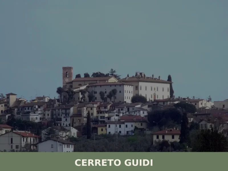
Cerreto Guidi
A low plain spreads west of Florence, and at 30 kilometres (19 mi) from the city the land rises just enough — to 123 metres (404 feet) above sea level — for a cluster of terracotta rooftops to stand out against the Tuscan sky. The municipality borders Empoli, Fucecchio, Vinci, and Lamporecchio, placing it at […]
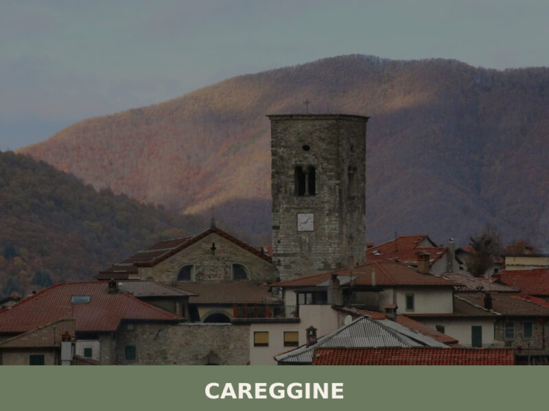
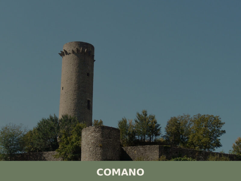
Careggine
Morning fog lifts from the Apuan Alps in slow, pale sheets, revealing a scatter of stone houses along a ridgeline above the Garfagnana valley. A church bell marks seven o’clock — the sound carries far in this thin, mountain air, reaching nobody in particular. With only 585 inhabitants, Careggine keeps its own unhurried tempo. Understanding […]
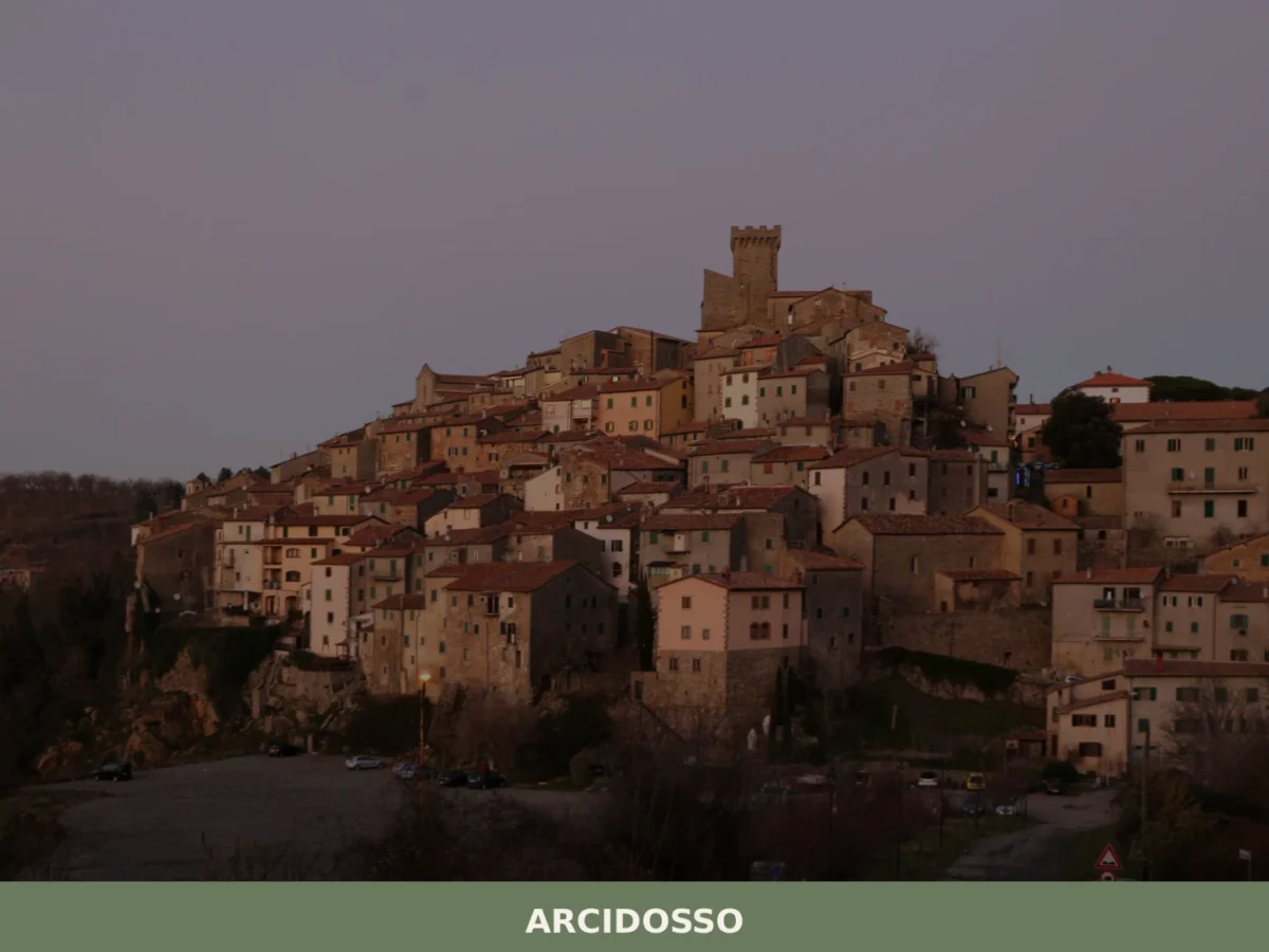
Arcidosso
What to see in Arcidosso, Italy: explore a medieval castle built around 1000 AD, 3 surviving city gates, and local Monte Amiata cuisine. Discover top attractions now.
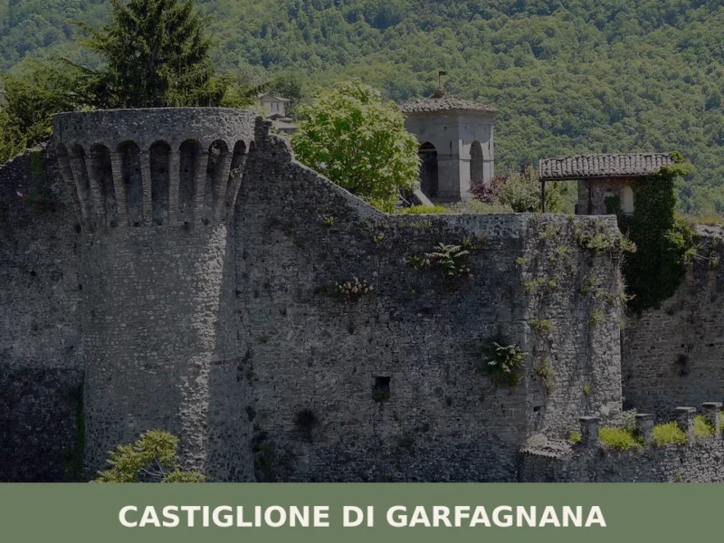
Castiglione di Garfagnana
What to see in Castiglione di Garfagnana, Italy: medieval walls, a 13th-century bridge, and the Rocca fortress at 545 m. Discover the full travel guide.
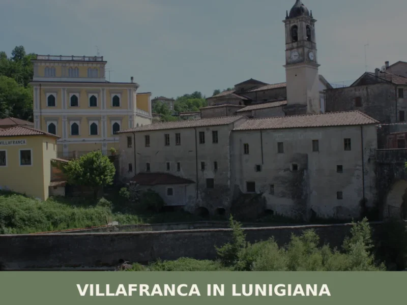
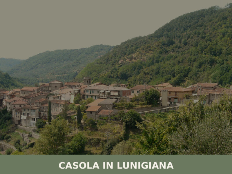
Villafranca in Lunigiana
What to see in Villafranca in Lunigiana: explore the Via Francigena, medieval churches and local cuisine in Toscana, Italy. Population 4,803. Discover it now.
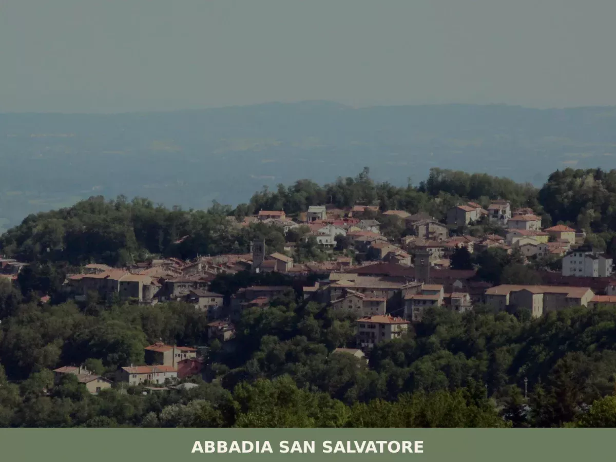
Abbadia San Salvatore
Discover what to see in Abbadia San Salvatore: the Lombard abbey, medieval borgo, mercury mining museum and Monte Amiata. Practical travel guide for Siena province.
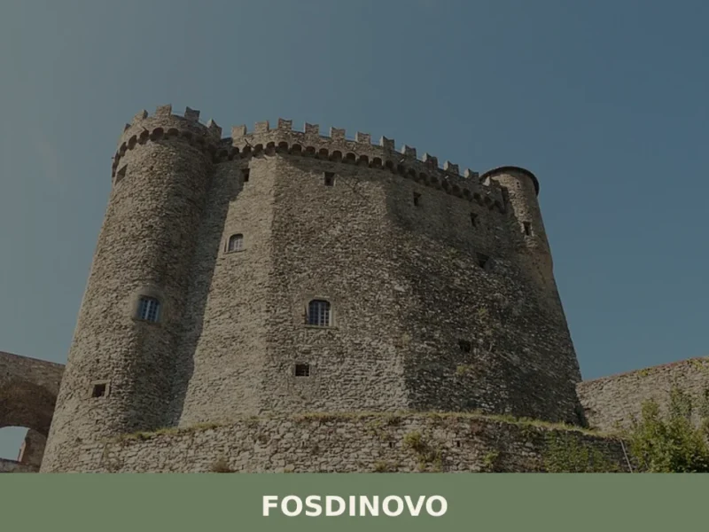
Fosdinovo
The Malaspina Castle of Fosdinovo has dominated the ridge separating the Val di Magra from the Apuan coast for over seven hundred years, with its four circular towers and a sentry walkway that can still be traversed. At 500 metres above sea level, this town in the province of Massa and Carrara has 4,982 inhabitants […]
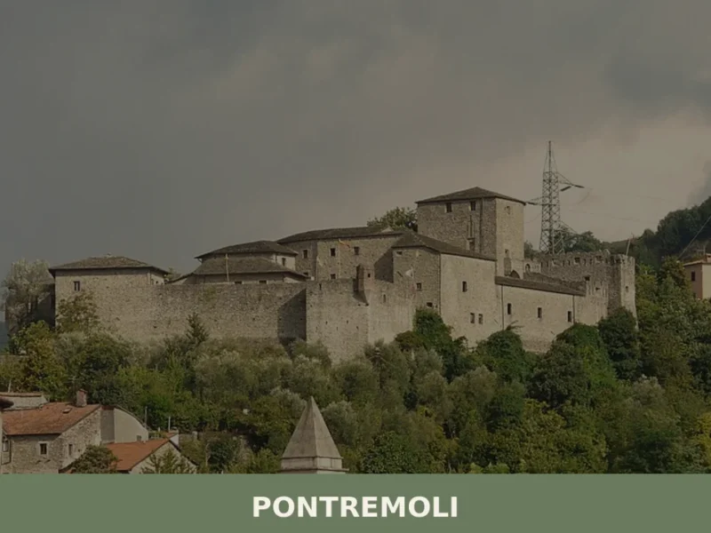
Pontremoli
Pontremoli has a current population of 7,593 and sits at an elevation of 236 metres in the valley of the River Magra, in the province of Massa and Carrara. The central hub of historic Lunigiana, the town is crossed by the route of the Via Francigena — stop number 28 on the itinerary of Sigeric, […]
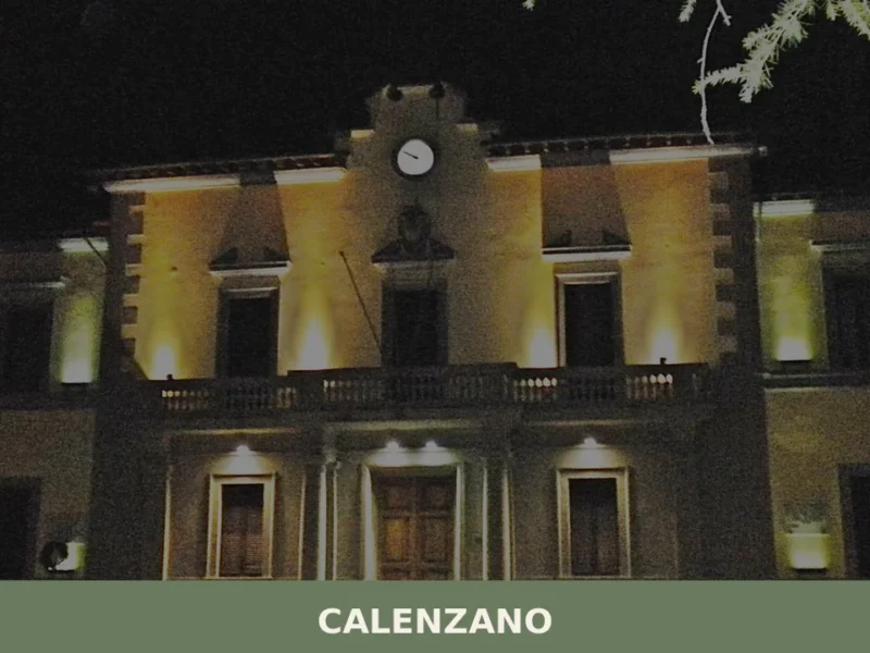
Calenzano
What to see in Calenzano, Italy: 5 top attractions, medieval churches, Renaissance art, and practical tips. 11 km from Florence. Discover Calenzano, Toscana.
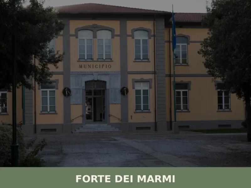
Forte dei Marmi
What to see in Forte dei Marmi, Italy: the 1788 fortress, sandy beaches, satirical art museum and weekly market. Population 7,619. Explore the full guide.


🏡 Know Camporgiano better than we do?
If you’re a local or have been there, your knowledge matters: add what’s missing or fix a detail on this page.