


Castiglione di Garfagnana
What to see in Castiglione di Garfagnana, Italy: medieval walls, a 13th-century bridge, and the Rocca fortress at 545 m. Discover the full travel guide.
Discover Castiglione di Garfagnana
Stone towers rise above the Esarulo river valley, their masonry darkened by centuries of Apennine weather.
The river below is a tributary of the Serchio, and the road that follows it has served as a strategic corridor since the time of Roman military engineers.
At 545 m (1,788 ft) above sea level, the ridge that carries this town commands the approach to the San Pellegrino Pass, the lowest crossing of the Northern Apennines available to armies moving between the Tyrrhenian coast and the Po plain.
The walls are not decorative: they were widened, reinforced, and tested in sieges across five centuries.
What to see in Castiglione di Garfagnana draws visitors interested in intact medieval urban fabric, documented Lombard and Romanesque architecture, and a civic history that stretches from a Roman fort to the Congress of Vienna.
The town sits at 545 m (1,788 ft) in the province of Lucca, Toscana, Italy, and counts roughly 1,828 inhabitants.
Visitors to Castiglione di Garfagnana find a walled circuit with large towers called torrioni, a castle known as the Rocca, two medieval churches, and a bridge attributed to the 13th century.
The town is also a member of I Borghi più belli d’Italia, the national register of Italy’s most notable historic villages.
History of Castiglione di Garfagnana
The earliest documented settlement here was a Roman military installation called Castrum Leonis, meaning “Lion’s Castle,” constructed to control the valley route leading to the San Pellegrino Pass. That pass represented the most practicable crossing of the Apennines for armies and trade caravans alike, which made the ridge strategically indispensable.
The Lombards and later the Franks each occupied and modified the fortification, laying the administrative and architectural foundations that would define the town through the medieval period.
Villages in the broader Garfagnana corridor, including Fivizzano, further north along the Apennine foothills, share this same pattern of Roman and Lombard occupation followed by medieval consolidation.
The 12th and 13th centuries brought open conflict with the Republic of Lucca.
In 1170, Lucchese forces besieged Castiglione, and although the town surrendered, the fiscal burden that followed was severe enough to push it into a league of Garfagnana communes resisting Lucchese authority.
A second siege came in 1227, accompanied by further destruction. The cycle of conflict did not conclude until 1371, when Lucca gained definitive political control and installed a permanent administrator. The defensive walls were upgraded at this point, with the circuit expanded and the towers reinforced, producing the configuration that visitors walk along today.
The 15th century added a further layer of political complexity.
Castiglione was one of the few Garfagnana communities that did not submit to the Este family of Ferrara, maintaining loyalty to Lucca while the surrounding territory changed hands.
The town’s fortress endured two more documented sieges in the wars against the Estensi: one in 1603 and another in 1613.
A long period of relative stability followed, interrupted only by boundary disputes with neighbouring communes.
The Congress of Vienna in 1815 assigned Castiglione to Marie Louise of Bourbon, Grand Duchess of Lucca, who transferred it to Francis IV of Modena in 1819. That sequence of political transfers — Roman fort, Lombard outpost, Lucchese possession, Este target, Bourbon assignment, Este domain — is compressed into the walls and streets that still stand.
What to See in Castiglione di Garfagnana, Toscana: Top Attractions
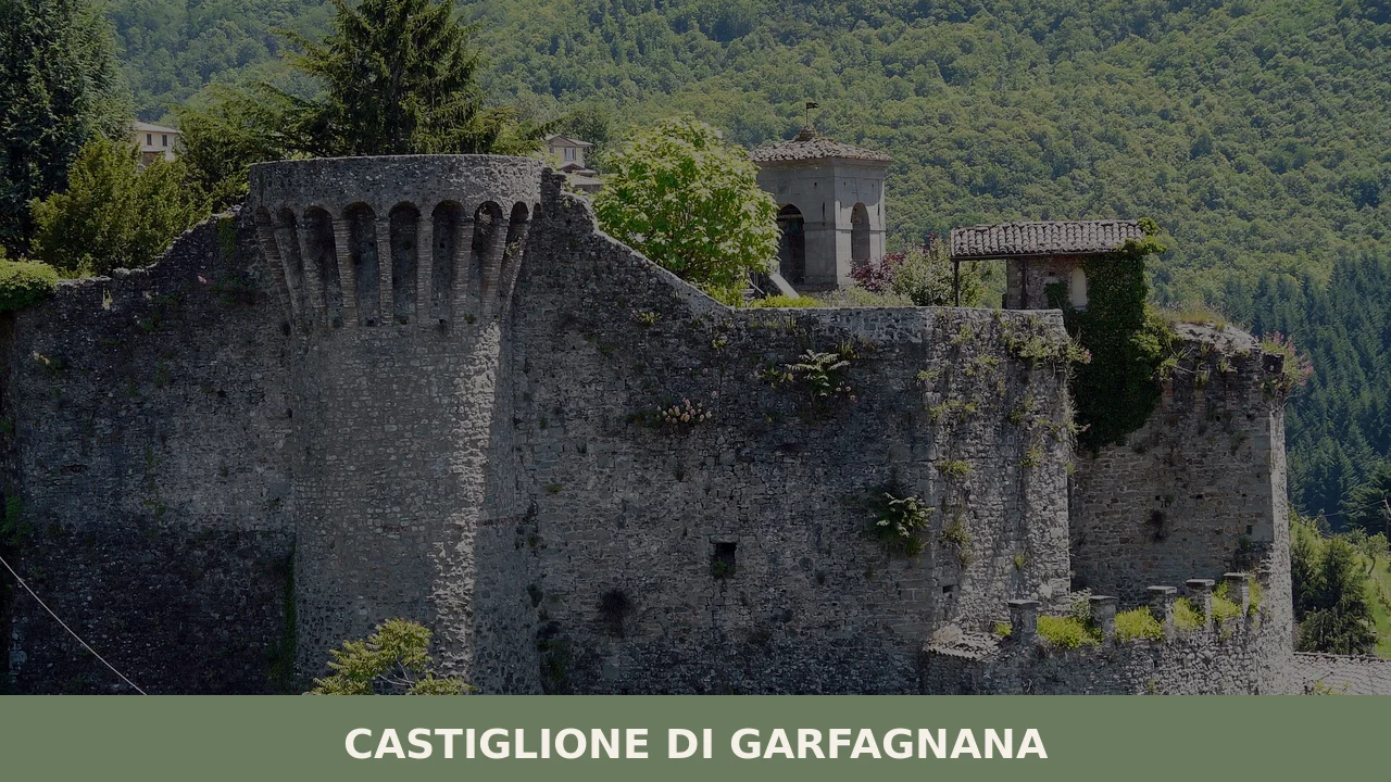
The Medieval Walls and Torrioni
The town walls of Castiglione di Garfagnana form a largely intact circuit with large projecting towers known as torrioni. The defensive perimeter was substantially widened after 1371, when Lucca consolidated control and invested in upgrading the fortifications.
Walking the wall circuit gives a direct read of the town’s military logic: each tower commands a section of open hillside, and the main gate controls the only practical road approach.
The stonework shows visible phases of construction and repair, reflecting the repeated sieges of the 12th, 13th, and early 17th centuries.
The best light for photographing the external face of the walls falls in the late afternoon, when the western exposure catches direct sun.
The Rocca (Castle)
The Rocca occupies the highest point of the town’s ridge, positioned to survey both the Esarulo valley below and the approach roads from the Serchio basin.
Its origins lie in the same Roman and Lombard phases that produced the first fortification on this ridge, though the structure visible today reflects medieval and later modifications.
The castle functioned not only as a military strongpoint but as the seat of Lucca’s permanent administrator after the political settlement of 1371. The interior layout documents the transition from pure military use to civil governance.
For those arriving in Castiglione di Garfagnana for the first time, the Rocca is the logical starting point for understanding the town’s topography and its strategic relationship with the valley.
The Church of San Pietro
San Pietro is one of the oldest documented ecclesiastical structures in the Garfagnana.
According to the historical record, it was erected in 723 by two Lombard brothers named Aurinand and Gudifrid, placing its foundation in the early decades of Lombard rule in northern Tuscany.
The building was substantially rebuilt in the 12th century under the direction of Bishop Guido III of Lucca, which accounts for its Romanesque character.
One structural detail shared with the church of San Michele nearby is the use of a wall tower as a belfry rather than a purpose-built campanile — a practical solution that also reinforced the town’s defensive profile.
The interior retains elements from both the original 8th-century phase and the 12th-century reconstruction.
The Church of San Michele
San Michele dates to the 14th century and represents a later phase of religious building in Castiglione di Garfagnana, constructed after the town had passed through the most turbulent episodes of its conflict with Lucca.
Like San Pietro, it uses a wall tower as its belfry, a configuration that underlines the close relationship between civic defence and religious architecture in medieval Garfagnana towns.
The facade and structural massing reflect the building conventions of 14th-century Lucchese ecclesiastical architecture.
Both churches are accessible on foot from the main walled circuit and are within a short walking distance of each other, making it straightforward to visit both in a single circuit of the old town.
The Church of San Pellegrino and the Pass
The frazione of San Pellegrino, located at 1,400 m (4,593 ft) above sea level, takes its name from the saint whose mortal remains are preserved inside its church, alongside those of St. Bianco.
The pass it commands — the San Pellegrino Pass — is the same geographical feature that gave the original Roman Castrum Leonis its military purpose, and the church at this altitude has served pilgrims and travellers crossing the Apennines for centuries.
The elevation means that reaching the frazione requires either a vehicle or a sustained uphill walk from the valley floor.
The views from the church over the Serchio valley extend for several kilometres on clear days, and the site documents how sacred geography and strategic geography have overlapped in this part of Toscana since the early medieval period.
The Medieval Bridge of Spinetta Malaspina
The bridge attributed to Spinetta Malaspina, built in the 13th century, crosses the Esarulo below the town walls and constitutes the most visually immediate reminder of the medieval infrastructure that once connected Castiglione di Garfagnana to the wider Garfagnana trade network.
Spinetta Malaspina was a member of the Malaspina family, one of the dominant feudal dynasties of the northern Apennine corridor.
The medieval bridge typology — arched stone construction over a mountain river — was engineered to withstand seasonal flooding from Apennine snowmelt.
Filattiera, another Malaspina stronghold further along the Apennine ridge, preserves similar evidence of that family’s territorial reach.
The bridge is accessible directly from the base of the town walls and requires no special access arrangements.
Local Food and Typical Products of Castiglione di Garfagnana
The food culture of the Garfagnana reflects its geography: a mountain valley between the Apennines and the Apuan Alps, historically isolated from the coastal markets of Lucca and the agricultural plains of the Po.
The cuisine here developed around cereals, pulses, and preserved meats rather than the olive oil and wine economy of lowland Tuscany. Chestnut flour, in particular, was a staple crop across the Garfagnana highlands for centuries, milled locally and used across a wide range of preparations from flatbreads to porridge-like dishes.
The territory’s altitude and cool climate also supported the rearing of cattle and pigs under conditions that produced well-regarded cured meats.
Among the preparations most closely associated with this territory, necci deserve specific mention: thin crepes made from chestnut flour, cooked between heated flat stones called testi, and traditionally eaten with ricotta.
The chestnut flour gives them a distinctly earthy, slightly bitter flavour that sets them apart from wheat-based alternatives.
Polenta di farro, a porridge made from emmer wheat rather than maize, reflects the pre-maize grain culture of the Apennine valleys and is considered one of the oldest cereal preparations still documented in the area.
Biroldo della Garfagnana is a blood sausage made from pork offal — typically heart, lung, and snout — combined with spices including nutmeg, cinnamon, and cloves, then boiled and pressed.
The spice profile distinguishes it from comparable products elsewhere in Tuscany and connects it to medieval trade routes that brought Eastern spices through Lucca’s merchants.
The Garfagnana is also the production area of Farro della Garfagnana (IGP), an emmer wheat with Protected Geographical Indication status grown in the mountain communes of the province of Lucca.
This certification applies specifically to the communes of the Garfagnana valley, and the grain is used locally in soups, porridges, and breads.
The IGP designation was established to protect the specific environmental conditions — altitude, soil type, and traditional cultivation practices — that differentiate Garfagnana farro from emmer grown elsewhere in Italy.
It appears on menus throughout the area in zuppa di farro, a thick soup with vegetables and legumes that varies by household but consistently uses the whole grain rather than processed flour.
Local food products are most reliably available at small shops within the walled town and at periodic markets in the Garfagnana valley.
Autumn is the most productive season for chestnut-based products, as the harvest runs from late September through November.
Visitors arriving in this period will find fresh-milled chestnut flour and seasonal preparations that are not available at other times of year.
Carrying cash is advisable, as smaller shops and market stalls in this part of Toscana do not always accept card payments.
Festivals, Events and Traditions of Castiglione di Garfagnana
The principal annual religious celebration is the feast of the Madonna del Carmine, patron saint of Castiglione di Garfagnana, observed on 16 July.
This date falls within the liturgical feast of Our Lady of Mount Carmel, observed by the Carmelite order across the Catholic world, and in Castiglione it is marked with a religious procession through the walled town and a Mass celebrated in the parish church.
The date in mid-July makes it a summer event, coinciding with the period when the town sees its highest concentration of visitors from the surrounding region.
The musical life of the town has its own documented tradition in the Filarmonica Alpina, a band founded in 1858 under the original name of Fanfara popolare.
Its founding predates Italian unification and makes it one of the longer-established civic musical associations in the Garfagnana.
The band participates in local events and religious festivals, providing the instrumental component of civic ceremonies.
For visitors present during the patron feast on 16 July, the combination of the religious procession and the musical tradition of the Filarmonica Alpina gives the celebration a layered civic and religious character that has been sustained across more than 160 years.
When to Visit Castiglione di Garfagnana, Italy and How to Get There
The best time to visit Castiglione di Garfagnana depends on what you are looking for.
Late spring, between May and June, offers mild temperatures at 545 m (1,788 ft) and accessible mountain roads before summer traffic builds. July brings the patron feast on the 16th, which is the most concentrated period of local activity.
Autumn, particularly October, is the season for chestnut harvests and farro markets across the Garfagnana, and the valley colours are at their most saturated.
Winter at this altitude brings cold and occasional snow, which can affect road access to the San Pellegrino frazione at 1,400 m (4,593 ft), but the walled town itself remains accessible year-round.
Castiglione di Garfagnana sits in the province of Lucca, roughly 50 km (31 mi) north of the city of Lucca by road via the SS445 through the Serchio valley.
From Florence, the journey covers approximately 120 km (75 mi) and takes around 1 hour 45 minutes by car, making it a feasible day trip from Tuscany’s regional capital.
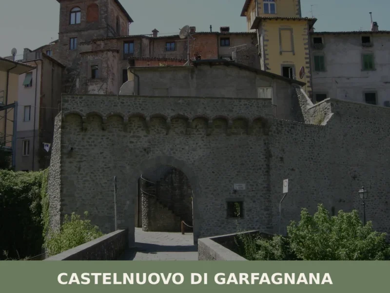
If you arrive by car from the south, the most direct route follows the A11 motorway to Lucca and then the SS445 north through Barga and Castelnuovo di Garfagnana.
The nearest rail connection is the Lucca–Aulla line, operated by Trenitalia, which stops at Castelnuovo di Garfagnana, approximately 10 km (6.2 mi) from Castiglione; from there, local bus or taxi connections are available.
The nearest major airport is Galileo Galilei Airport in Pisa, approximately 100 km (62 mi) to the southwest, with a combined train and bus journey of roughly 2 hours 30 minutes. International visitors should note that English is not widely spoken in smaller shops and services in the Garfagnana; carrying Euros in cash is practical for market purchases and smaller establishments.
For those combining Castiglione di Garfagnana with a broader Toscana itinerary, the Garfagnana valley connects northward toward the Lunigiana, where offers a comparable medieval town structure with its own distinct Renaissance-period additions.
The official municipality website of Castiglione di Garfagnana publishes updated information on opening hours for civic monuments and any temporary restrictions on access to the walls or castle.
Visitors extending their time in Toscana after exploring what to see in Castiglione di Garfagnana may also consider the medieval towers and market streets of Prato, which lies further south in the region and offers a contrasting urban scale while preserving its own intact medieval circuit.
Frequently asked questions about Castiglione di Garfagnana
What is the best time to visit Castiglione di Garfagnana?
Late spring (May–June) and early autumn (September–October) offer the most comfortable conditions for exploring the walls and surrounding Apennine landscape, with mild temperatures at 545 m altitude and lower tourist pressure than the Tuscan coast. Summer is pleasant and lively: the feast of the Madonna del Carmine on 16 July is the town's principal religious and civic event, worth timing a visit around. Winter brings cold Apennine weather but rewards visitors with atmospheric, crowd-free streets inside the medieval walls.
What are the historical origins of Castiglione di Garfagnana?
The town's origins trace to a Roman military installation called Castrum Leonis, built to control the valley route to the San Pellegrino Pass, the lowest Apennine crossing between the Tyrrhenian coast and the Po plain. Lombards and Franks subsequently occupied and modified the site. Medieval history was shaped by repeated conflicts with the Republic of Lucca, which gained definitive control in 1371 and upgraded the walls and towers. Later transferred through Bourbon and Este rule, the town's political sequence ended at the Congress of Vienna in 1815.
What to see in Castiglione di Garfagnana? Main monuments and landmarks
The largely intact medieval wall circuit with its projecting torrioni is the defining feature of the town and can be walked on foot. The Rocca castle, positioned at the ridge's highest point, served as both military stronghold and civic seat after 1371. The Church of San Pietro, founded in 723 by Lombard brothers and rebuilt in Romanesque style in the 12th century, and the 14th-century Church of San Michele both use wall towers as belfries. The 13th-century bridge attributed to Spinetta Malaspina crosses the Esarulo river directly below the walls. Castiglione is also a member of I Borghi più belli d'Italia.
What are the main natural or scenic attractions of Castiglione di Garfagnana?
The frazione of San Pellegrino, at 1,400 m above sea level, sits at the Apennine pass of the same name and offers panoramic views over the Serchio valley extending for several kilometres on clear days. The pass has been a documented crossing point since Roman times and remains accessible by vehicle or on foot. The Esarulo river valley below the town walls provides immediate natural scenery along the route connecting Castiglione to the broader Garfagnana corridor and the Serchio river system.
Where to take the best photos in Castiglione di Garfagnana?
The external face of the medieval walls photographs best in late afternoon, when the western exposure receives direct sunlight that highlights the stonework and its visible phases of construction and repair. The medieval bridge attributed to Spinetta Malaspina, crossing the Esarulo below the walls, offers a classic Apennine river-and-stone composition. From the frazione of San Pellegrino at 1,400 m, clear-day views across the Serchio valley provide wide landscape shots that document the geographical scale of this Apennine corridor.
Are there museums, churches or historic buildings to visit in Castiglione di Garfagnana?
The Rocca castle, the Church of San Pietro (founded 723, rebuilt 12th century), and the Church of San Michele (14th century) are the principal historic buildings open to visitors. Both churches are accessible on foot from the walled circuit and are within short walking distance of each other, making a combined visit practical within a single circuit of the old town. The Rocca interior documents the transition from military to civic use after 1371. Specific opening hours and admission prices are best confirmed locally or through the Comune di Castiglione di Garfagnana before visiting.
What can you do in Castiglione di Garfagnana? Activities and experiences
Walking the intact medieval wall circuit is the primary in-town activity, combining architectural observation with views over the Esarulo valley. The San Pellegrino Pass, historically used by pilgrims and armies crossing the Apennines, can be reached by vehicle or on foot and remains a documented hiking destination in the Northern Apennines. The town also serves as a base for exploring the broader Garfagnana valley, including Malaspina-associated sites such as Filattiera further along the Apennine ridge, and for sampling the area's documented mountain food culture.
Who is Castiglione di Garfagnana suitable for? Families, couples, hikers, solo travelers?
Castiglione di Garfagnana suits history-focused travellers of any age who want intact medieval architecture without large tourist crowds. The compact walled town is walkable and manageable for families with older children. Hikers will find the San Pellegrino Pass and the Apennine surroundings relevant starting points for longer routes. Couples and solo travellers interested in Romanesque architecture, military history, or Italian village life will find the town rewarding. The mountain food culture — chestnut flour preparations, biroldo, polenta di farro — adds a specific culinary dimension for food-oriented visitors.
What to eat in Castiglione di Garfagnana? Local products and specialties
The Garfagnana food culture centres on mountain staples rather than lowland Tuscan olive oil and wine. Necci are thin chestnut-flour crepes cooked between heated flat stones called testi, traditionally served with ricotta; their earthy, slightly bitter flavour is characteristic of this territory. Polenta di farro, made from emmer wheat rather than maize, is one of the oldest documented cereal preparations in the Apennine valleys. Biroldo della Garfagnana is a local blood sausage made from spiced pork offal. Farro della Garfagnana holds IGP status and is widely used across the area's traditional dishes.
Nearby Villages near Castiglione di Garfagnana

In Tuscany More villages to discover
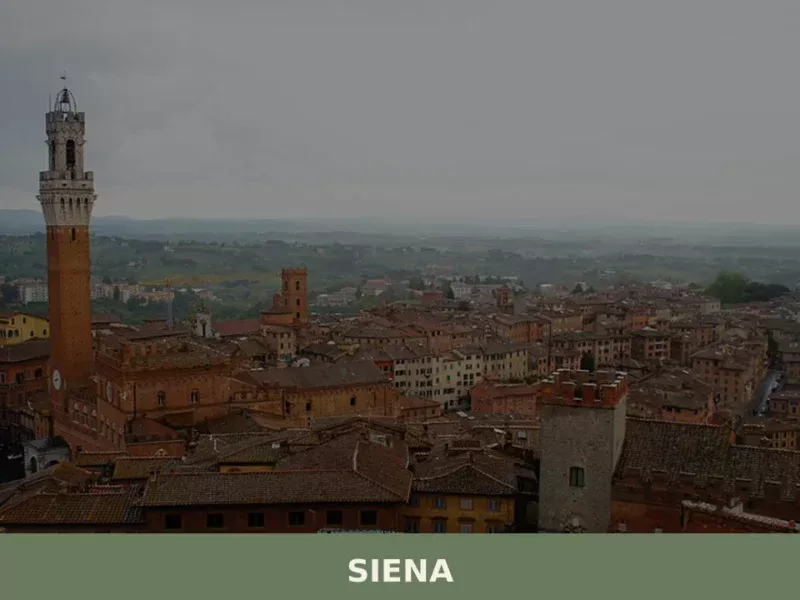
Siena
What to see in Siena: UNESCO centre at 322 m, population 52,883. Explore Piazza del Campo, the Cathedral, the Palio, and local foods like panforte and pici. Plan your visit.
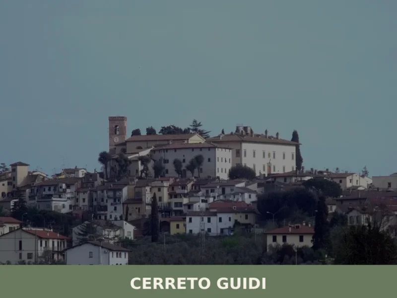
Cerreto Guidi
A low plain spreads west of Florence, and at 30 kilometres (19 mi) from the city the land rises just enough — to 123 metres (404 feet) above sea level — for a cluster of terracotta rooftops to stand out against the Tuscan sky. The municipality borders Empoli, Fucecchio, Vinci, and Lamporecchio, placing it at […]
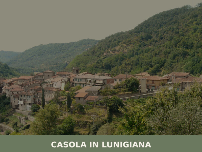
Casola in Lunigiana
Morning fog lifts slowly from the Aulella valley, revealing stone walls the colour of dried clay and a bell tower that has marked the hours here for centuries. The air carries woodsmoke and the faint mineral scent of chestnut groves climbing the surrounding slopes. With roughly one thousand inhabitants, Casola in Lunigiana remains one of […]

San Giovanni Valdarno
Founded in 1296 as a Florentine frontier town, San Giovanni Valdarno preserves a medieval grid layout, masterpieces by Beato Angelico, and the legendary miracle of Monna Tancia.
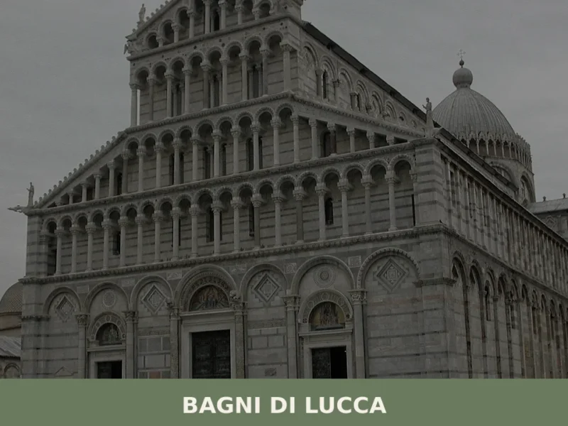
Bagni di Lucca
A comune of 5,560 residents in Lucca province, Bagni di Lucca centres on warm springs and the Serchio river corridor. Its identity rests on water and geology.
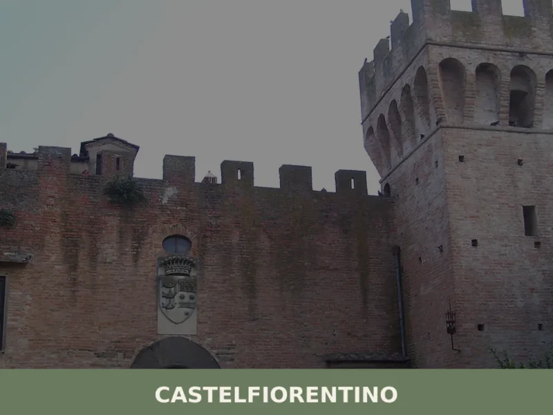
Castelfiorentino
What to see in Castelfiorentino, Italy: 6 top attractions, history from 1149, the Sanctuary of Santa Verdiana and a crucifix by Giovanni Pisano. Discover now.
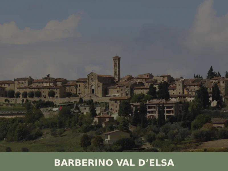
Barberino Val d’Elsa
The 14th-century walls still enclose the historic centre of Barberino Val d’Elsa within an almost intact perimeter, with two town gates that filter access to the village just as they did six centuries ago. In this article History and origins of Barberino Val d’Elsa What to see in Barberino Val d’Elsa: main attractions Traditional Cuisine […]
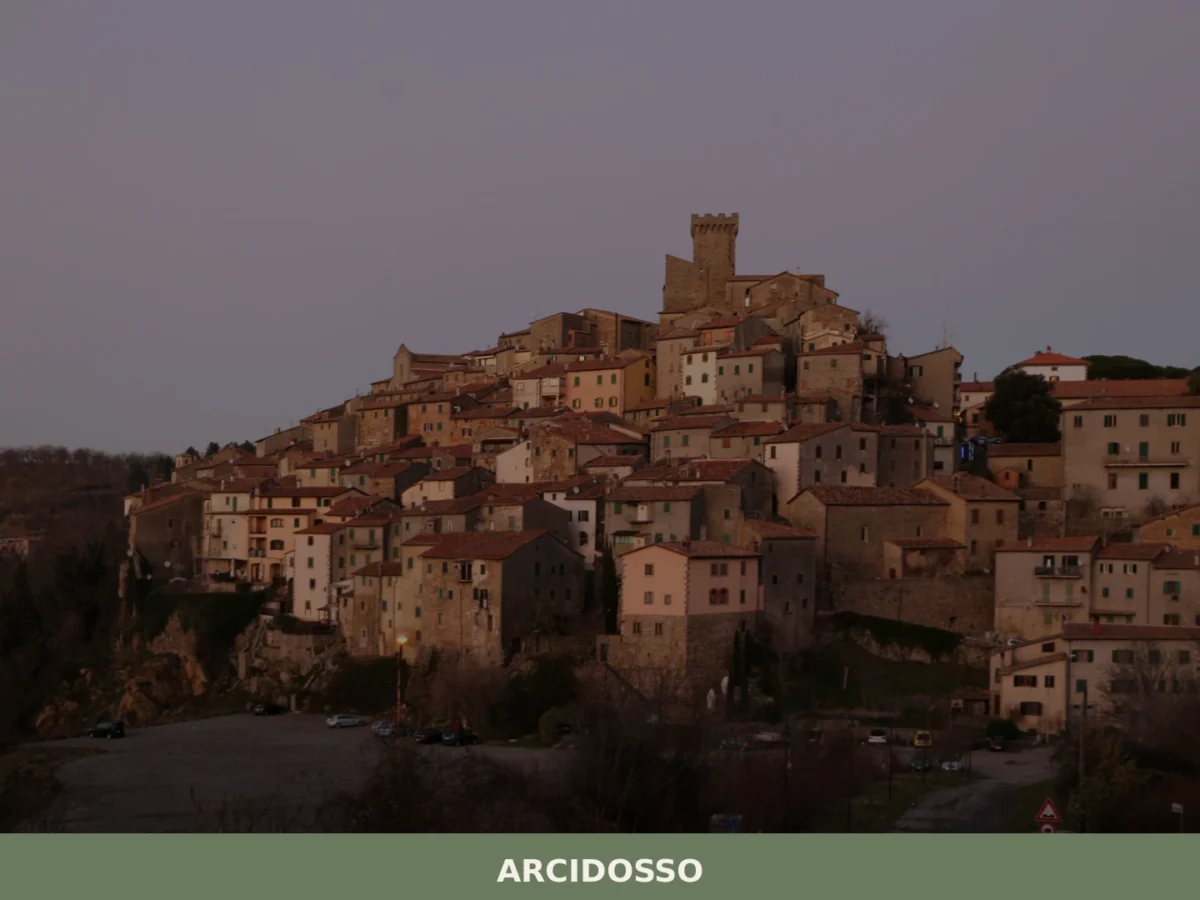
Arcidosso
What to see in Arcidosso, Italy: explore a medieval castle built around 1000 AD, 3 surviving city gates, and local Monte Amiata cuisine. Discover top attractions now.
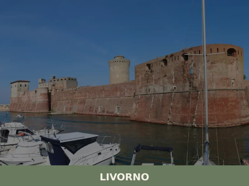
Livorno
What to see in Livorno, a port city of 157,000 on the Tyrrhenian coast: Fortezza Vecchia, Quartiere Venezia, cacciucco, Terrazza Mascagni. Plan your visit now.
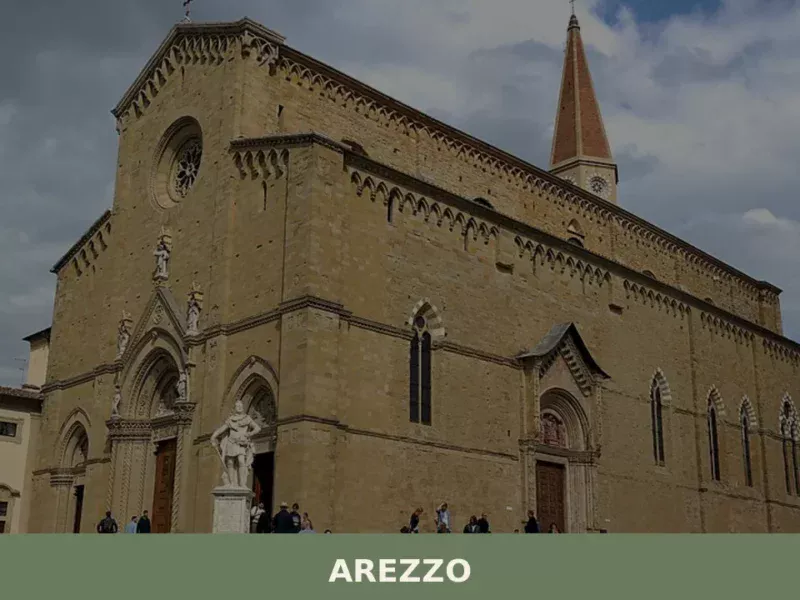
Arezzo
Discover Arezzo, a charming village in Tuscany, Italy. Explore its rich history, stunning architecture, and vibrant culture nestled in the heart of Toscana.


🏡 Know Castiglione di Garfagnana better than we do?
If you’re a local or have been there, your knowledge matters: add what’s missing or fix a detail on this page.