
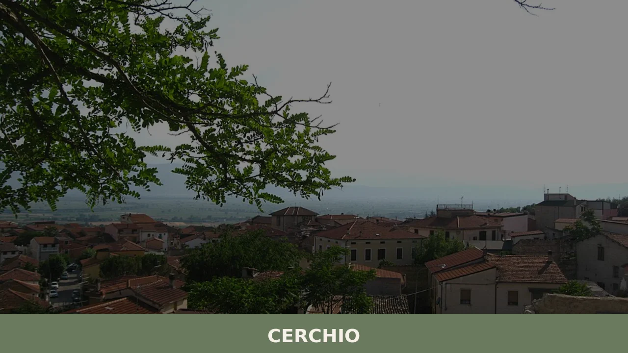
Cerchio
At 834 metres above sea level, on the Fucino plain — the largest lake in central Italy until 1875, when the drainage project commissioned by Prince Alessandro Torlonia transformed the lake bed into agricultural land —, Cerchio has a current population of 1,556 and an economy still tied to those fields reclaimed from the water. […]
Discover Cerchio
At 834 metres above sea level, on the Fucino plain — the largest lake in central Italy until 1875, when the drainage project commissioned by Prince Alessandro Torlonia transformed the lake bed into agricultural land —, Cerchio has a current population of 1,556 and an economy still tied to those fields reclaimed from the water. Understanding what to see in Cerchio means tracing the history of a community that built its identity between mountain and reclaimed plain, in the province of L’Aquila, on the western edge of the Marsica area.
History and origins of Cerchio
The place name “Cerchio” derives, according to the most widely accepted theory, from the Latin circulus, referring to the semicircular shape of the original settlement or to the arrangement of houses around a central core. The earliest documented mention of the village dates to the medieval period: in the 12th-century Catalogus Baronum, Cerchio appears among the Norman fiefs of the Marsica, subject to the County of Celano. The town followed the feudal fortunes of the region, passing under the control of the Counts of Celano, then the Piccolomini, and finally the Colonna family.
The Marsica earthquake of 13 January 1915 — magnitude 6.99, over 30,000 victims across the entire area — struck Cerchio hard, destroying much of the historic built fabric. The reconstruction redesigned the urban layout, and many of the structures visible today date to the decades following the earthquake. Before the catastrophe, the village relied on transhumant pastoralism and subsistence farming on the mountain lands; after the draining of Lake Fucino, completed in 1875 and followed by the land reform of 1950 that redistributed the land to peasant farmers, the local economy shifted towards intensive cultivation of potatoes, carrots and sugar beets on the plain below.
Among the figures connected to the area, the village was the birthplace of farming and artisan families who actively took part in the struggles for redistribution of the Fucino lands in the post-war period, a decisive chapter in the social history of Abruzzo.
What to see in Cerchio: 5 main attractions
Church of Saints John and Paul
Dedicated to the patron saints of the village, celebrated on the last Sunday of June, the church was rebuilt after the 1915 earthquake. The interior features a single-nave layout with side altars. The façade in local stone, sober and linear, reflects the post-earthquake reconstruction style widespread across the Marsica, with elements that echo the architectural language of the early decades of the twentieth century.
The Fucino Plain
Visible from the southern edge of the village, the Fucino plain extends over approximately 16,000 hectares: it is the largest cultivated plateau in central and southern Italy. The geometric fields, divided by drainage canals designed by the Swiss engineer Franz Mayor de Montricher on behalf of the Torlonia family, form a regular grid that can be read even from the higher ground of Cerchio. From here you can observe the seasonal rotation of crops — potatoes, carrots, lettuces — that marks the local agricultural calendar.
The rebuilt historic centre
The settlement of Cerchio preserves the layout of the post-1915 reconstruction: low masonry buildings, streets arranged in an orderly grid, small squares that serve as junctions between the different quarters. It is not a preserved medieval village, but an urban-planning document of early twentieth-century Marsica, with stone doorways and wrought-iron balconies marking the façades of the oldest houses that survived or were restored.
Trails towards the Serra di Celano
From the northern edge of the town, hiking trails climb towards the Serra di Celano and the slopes of Monte Sirente, within the boundaries of the Sirente-Velino Regional Nature Park. The routes pass through beech forests and high-altitude pastures, with elevation gains ranging from 400 to 800 metres, suitable for hikers of intermediate fitness.
Historic fountains and wash-houses
Scattered across the settlement and its immediate surroundings, the public wash-houses and limestone fountains document the rural water system that existed before modernisation. Some of these structures, restored in recent decades, retain monolithic basins and original cast-iron spouts, evidence of a communal infrastructure that served the entire town before connection to the mains water network.
What to see in Cerchio: local food and produce
The table in Cerchio is that of the Fucino Marsica, built on two pillars: the produce of the plain and the mountain pastoral tradition. The Patata del Fucino IGP (Fucino Potato, PGI) is the dominant ingredient — fried, stewed, or in the potato and pork rind soup that defines the winter months. The Carota dell’Altopiano del Fucino (Fucino Plateau Carrot), recognised as a PGI product, reaches markets and local kitchens with a distinctive sweetness owed to the clay-silt soil of the former lake bed. Sugar beet is also grown on the fields of the plain. From the mountains come the arrosticini, skewers of mutton cut into small chunks and grilled over the coals of the fornacella, present at every festival and food fair in the area. The local pecorino cheese, aged in the caves and cool storerooms of the village, accompanies lentils grown on the higher ground. Salsiccia di fegato (liver sausage) — a mixture of pork offal, garlic and chilli pepper — is prepared in the cold months, between December and February.
During the patron saint feast of Saints John and Paul, on the last Sunday of June, the town sets up tasting stalls with local products. In the summer months, food festivals dedicated to traditional Marsican dishes are held: polenta rognosa (polenta with crumbled sausage), maccheroni alla chitarra dressed with mutton ragù, and scrippelle ‘mbusse — thin crêpes served in hen broth, a quintessential L’Aquila dish that in the Marsica takes on variants with the addition of generous grated pecorino. Zafferano dell’Aquila DOP (L’Aquila Saffron, PDO), cultivated on the nearby Navelli plain, appears in more refined preparations. Among the desserts, tarallucci al mosto (grape must biscuits) and ferratelle (wafer-thin wafers cooked in a hinged iron mould) close the festive meals. Montepulciano d’Abruzzo DOC and Trebbiano d’Abruzzo DOC are the wines that accompany the table.
When to visit Cerchio: the best time
The last Sunday of June, for the feast of Saints John and Paul, is the date that concentrates the public life of the village: procession, market, food stalls and music in the central square. Summer — from June to September — offers the best conditions for hiking on the Sirente-Velino trails, with daytime temperatures between 20 and 28 degrees and cool evenings that drop below 15. Winter brings snow above 1,200 metres and harsh temperatures in the village, with lows that can reach -8°C in January and February: a continental mountain climate that makes the Marsica one of the coldest areas of the central Apennines.
Autumn, between October and November, is harvest time on the Fucino plain: the potato and carrot fields bring the countryside alive with machinery and workers, and the landscape changes colour rapidly with the foliage of the beech forests on the slopes of the Sirente. Spring, from mid-April onwards, marks the flowering of the high-altitude pastures, with narcissi and wild orchids along the trails that climb from the village’s elevation.
How to reach Cerchio
By car, Cerchio is reached from the A25 Roma-Pescara motorway, Aielli-Celano exit, continuing on the regional road for about 5 kilometres. From Rome, the distance is approximately 115 km (one hour and twenty minutes’ drive); from Pescara approximately 110 km (one hour and fifteen minutes); from L’Aquila approximately 55 km (fifty minutes). The nearest railway station is Aielli-Cerchio, on the Roma-Sulmona-Pescara line, served by Trenitalia regional trains. The nearest airport is Abruzzo Airport in Pescara (110 km); Rome’s Leonardo da Vinci–Fiumicino Airport is approximately 145 km away. For up-to-date information on local services and road conditions, you can consult the official website of the Municipality of Cerchio.
Other villages to discover in Abruzzo
Visitors to Cerchio find themselves in a strategic position to reach other centres in the Abruzzo mountains. Heading south-east, crossing the Fucino plain and climbing up the Tirino valley, you reach Calascio, where the fortress at 1,460 metres — one of the highest fortifications in the Apennines — dominates the southern flank of the Gran Sasso. The route from Cerchio covers approximately 60 kilometres through a landscape that shifts from reclaimed farmland to high-mountain pastures, with a sharp and visible change in altitude.
In the opposite direction, heading west along the Aniene valley and the Piana del Cavaliere, you reach Carsoli, the gateway to Abruzzo for those arriving from Lazio. Carsoli is a valley-floor town at around 616 metres above sea level, with an Orsini castle and a position that acts as a hinge between the Marsica and the Sabina. The distance from Cerchio is approximately 50 kilometres, entirely covered on the A25 in under forty minutes. The two villages, one mountain and the other a transit point, tell the story of two different ways of inhabiting the same region. To explore the network of Abruzzo villages further, the Wikipedia page dedicated to Cerchio offers additional historical and geographical references.
Nearby Villages near Cerchio

In Abruzzo More villages to discover
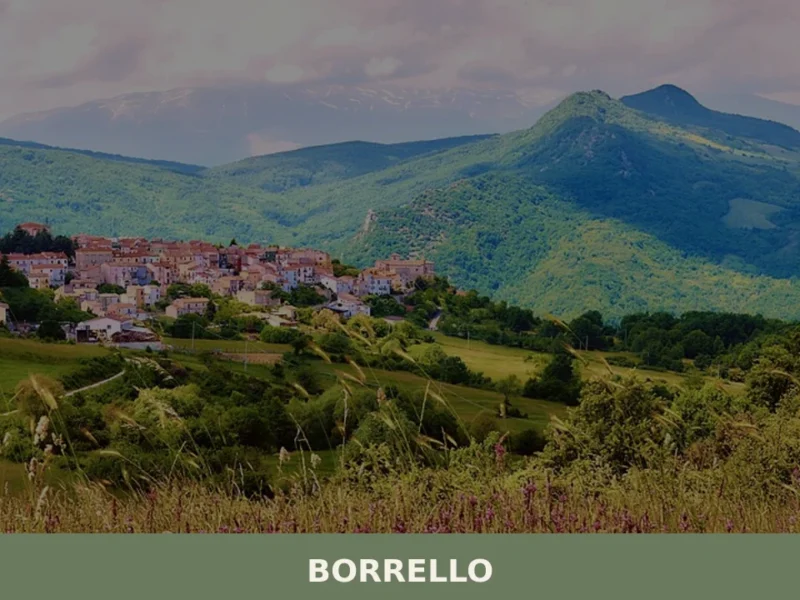
Borrello
At 804 metres above sea level, on the eastern slope of the Majella massif, 338 inhabitants watch over a settlement that in the eighteenth century counted more than two thousand residents. Anyone looking into what to see in Borrello will find a territory shaped more by geology than by human hands: the Cascate del Verde, […]
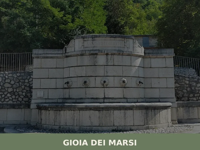
Gioia dei Marsi
Gioia dei Marsi has a population of 2,091 and sits at 725 metres above sea level on the eastern edge of the Fucino, the plain that until 1875 was the largest lake in peninsular Italy. The draining of the lake radically transformed the economy and landscape of this Marsican settlement, shifting its centre of gravity […]
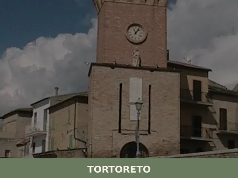
Tortoreto
The village of Tortoreto, located in the province of Teramo, stands at 227 meters above sea level, maintaining an observation position over the Adriatic coast. Its historical foundation is attested in Roman times with the name of Castrum Salini, a settlement that indicated its proximity to salt pans and its function of territorial control. Today, […]


📝 Incorrect information or updates?
Help us keep the Cerchio page accurate and up to date.