


Civita di Bagnoregio
What to see in Civita di Bagnoregio, Italy: explore 5 top attractions, the Etruscan founding history, and a village of just 11 residents. Discover how to get there.
Discover Civita di Bagnoregio
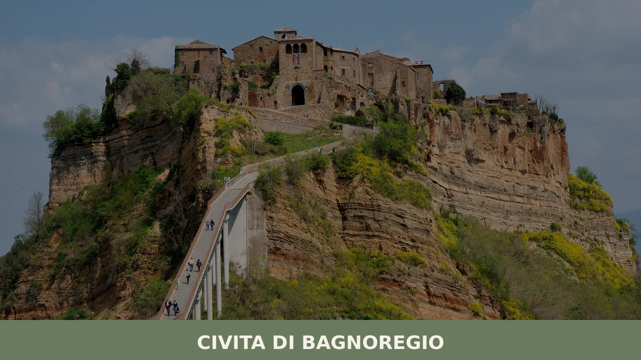
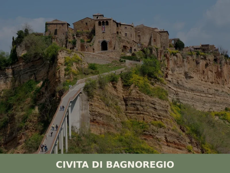
A single pedestrian bridge — 300 metres of reinforced concrete built in 1965 — connects a plateau of eroding volcanic tuff to the rest of the world. Below it, the Valle dei Calanchi, a badlands valley carved by two stream courses, the Fossato del Rio Torbido and the Fossato del Rio Chiaro, cuts through clay and lava layers that have been collapsing since before Roman legions arrived in 265 BC. The village on top covers a surface measured in city blocks, not square kilometres. Eleven permanent residents share its lanes with cats that outnumber them several times over.
Deciding what to see in Civita di Bagnoregio means working through more than 2,500 years of compressed history in a single afternoon.
The village sits 120 km (75 mi) north of Rome and 1 km (0.6 mi) east of the town of Bagnoregio, in the Province of Viterbo, Lazio, Italy. Visitors to Civita di Bagnoregio find the church of San Donato on the main square, the remains of an Etruscan necropolis below the cliff, a Geological and Landslides Museum inside Alemanni Palace, and a medieval street grid whose layout has not changed since Etruscan surveyors laid down its cardo and decumanus — the two perpendicular main axes of an ancient urban plan. The village drew an estimated 850,000 visitors in 2017, up from 40,000 in 2010.
History of Civita di Bagnoregio
The Etruscans founded Civita di Bagnoregio more than 2,500 years ago, exploiting a plateau that stood at the crossroads of two major communication routes: the Tiber Valley to the east and Lake Bolsena to the west. The original name of the settlement is unknown. What survives is the urban skeleton: a street grid organised around a cardo and a decumanus, the orthogonal system that both Etruscan and Roman planners adopted as standard.
That grid is still readable today in the lanes between the medieval facades. The Etruscans also engineered the plateau against its own geology, cutting chamber tombs into the tuff base and beginning water drainage works to manage the clay below. A seismic event in 280 BC forced the community to confront the instability they had been managing since the settlement’s founding.
When Rome incorporated the area in 265 BC, its engineers continued the Etruscan drainage and stream containment works rather than replacing them. For centuries the city remained significant enough to produce notable figures: Civita was the birthplace of Giovanni Fidanza, later canonised as Saint Bonaventure, who died in 1274. The cave where Saint Francis is said to have healed the young Fidanza is an Etruscan chamber tomb repurposed into a Christian devotional site.
By the 16th century the balance of power between Civita and its former suburb had reversed. Bagnoregio — today reachable as a town with its own separate civic and commercial identity — had grown prosperous enough to absorb both the bishop’s seat and the municipal government after a major earthquake at the end of the 17th century accelerated Civita’s decline. At that point the area was still part of the Papal States.
The 19th century brought a further deterioration. Erosion intensified in the very zone where the pedestrian bridge now stands, as a layer of clay beneath the tuff was exposed to the elements and began to wash away. The Italian phrase La città che muore — the dying town — entered circulation during this period and has attached itself to the village ever since. The 20th century reversed the trajectory, if partially.
The pedestrian bridge was built in 1965. An entry toll of €1.50 was introduced in 2013 and raised in August 2017 to €3 on weekdays and €5 on Sundays and public holidays. In 2006, the World Monuments Fund placed Civita on its Watch List of the 100 Most Endangered Sites, citing erosion and unregulated tourism. In January 2021, the mayor of Bagnoregio submitted a formal proposal to UNESCO to designate Civita as a World Heritage Site.
What to see in Civita di Bagnoregio, Lazio: top attractions
Church of San Donato and the Holy Crucifix
The church of San Donato occupies the main square of Civita, its facade rising directly from the tuff paving that has framed the central open space of this settlement since the Etruscan period. Inside, the principal object of veneration is a wooden crucifix whose documented presence in the church dates to at least 1449, the year a plague epidemic struck the territory around Bagnoregio. According to the account preserved in local tradition, the figure spoke to a woman who prayed before it daily, and the pestilence ended within days of her hearing its response.
On Good Friday, the crucifix is laid on a coffin and carried through the streets in the Processione del Venerdì Santo di Bagnoregio, a procession that has been repeated for centuries. Visitors who arrive outside the Easter period will find the crucifix displayed inside the church; the square itself, roughly 30 metres across, gives a clear sense of the village’s compact urban scale.
Porta Santa Maria
Of the five city gates that once controlled access to Civita, only Porta Santa Maria — also called Porta Cava — remains as the primary formal entrance to the village. The gate carries a carved relief showing two lions gripping a human head between their paws, a sculptural record of a popular revolt by Civita’s inhabitants against the Orvieto-based Monaldeschi family.
The medieval stonework sits directly over the road that Etruscan engineers first laid down more than two millennia ago, creating a physical layering of periods that is visible at the threshold itself. Walking through the gate after crossing the 300-metre bridge concentrates the transition from the modern access road to the medieval interior in a single architectural frame. The carved relief on the gate is one of the most specific pieces of political iconography surviving in the village and rewards close inspection.
Alemanni Palace and the Geological and Landslides Museum
Alemanni Palace houses the Geological and Landslides Museum, the only institution in the village dedicated to explaining the physical process that has been eroding its foundations since antiquity. The geology of the plateau involves two distinct rock formations: an ancient clay base, marine in origin, that is highly susceptible to erosion, and an overlying layer of tuff and lava material.
The museum places the human occupation of the plateau inside this geological timeline, documenting the interaction between settlement and substrate from the Etruscan earthquake of 280 BC to the 19th-century clay exposure that accelerated the collapse of the bridge zone. The building itself is a Renaissance-era palace, consistent with the broader architectural sequence — Etruscan layout, medieval and Renaissance facades — that defines what to see in Civita di Bagnoregio. The museum is accessible from the main square and requires no additional ticket beyond the bridge toll.
The Bucaione Tunnel and the Badlands Valley
The Bucaione is a deep tunnel carved through the lowest section of the plateau, connecting the interior of Civita directly to the Valle dei Calanchi below without requiring a return across the bridge. The Etruscans cut this passage as a utility route, and it remains the only ground-level exit from the village other than the main gate. Standing inside it, the visitor is surrounded by tuff walls that the erosion visible on the valley slopes has not yet reached.
The valley itself — its pale clay gullies contrasting with the dark tuff of the cliff face — is also accessible through a second entry point, a tunnel carved into the rock at the base of the plateau. The Valle dei Calanchi was proposed as a site of community interest in 2005. For those willing to descend into the valley on foot, the view back up at the cliff face shows the full scale of the erosion that has been removing the plateau’s edges for centuries.
Etruscan Necropolis below Belvedere di San Francesco Vecchio
The area beneath the Belvedere di San Francesco Vecchio — a viewpoint on the cliff edge — contains the remains of a small Etruscan necropolis cut directly into the rock face. The chamber tombs visible here are among the oldest surviving structures in Civita, predating the medieval buildings above by more than a millennium. Many similar tombs that once lined the cliff base were destroyed by rockfalls over the centuries; the seismic event of 280 BC is the earliest documented episode in a long sequence of collapses.
The cave associated with Saint Bonaventure’s childhood, where Saint Francis is said to have healed the young Giovanni Fidanza, is itself one of these Etruscan chamber tombs, later adapted for Christian use. The San Francesco Vecchio area is reached on foot from the main square in under five minutes and provides one of the clearest vantage points over the badlands valley and the tuff walls below.
Local food and typical products of Civita di Bagnoregio
The culinary context of Civita di Bagnoregio is that of northern Lazio’s Tuscia region, a territory shaped by volcanic soils, proximity to Lake Bolsena, and a food culture that runs through Viterbo and its surrounding comuni. The village itself has never supported large-scale agriculture — its plateau is too small and too compromised by erosion — but the surrounding municipality of Bagnoregio and the broader Viterbo province provide the gastronomic frame in which any meal eaten in Civita sits. The same volcanic tuff that is consuming the plateau has, over millennia, produced the mineral-rich soils that characterise the produce of this part of Lazio.
The cooking of northern Lazio relies on pulses, cured pork, freshwater fish from Lake Bolsena, and a range of preparations built on offal and secondary cuts — a tradition of making use of every part of the animal that persists in the trattorie of Bagnoregio and the surrounding area.
Acquacotta, a sparse vegetable soup finished with a poached egg and stale bread, is the most representative dish of the Tuscia peasant table: it demands good olive oil, seasonal greens, and time rather than expensive ingredients. Tegamaccio is a freshwater fish stew from Lake Bolsena, slow-cooked in a terracotta dish with tomato and white wine, drawing on eel, perch, and pike from the lake 20 km (12.4 mi) to the west. Scottadito — lamb cutlets grilled directly over embers until the bone is hot enough to burn the fingers, which is exactly what the name describes — appears regularly on menus throughout the province.
The Viterbo province produces several ingredients with protected designations recognised under European Union regulations. Nocciola Romana (PDO) covers hazelnuts grown across a range of comuni in the Castelli Romani and northern Lazio area, including parts of the Viterbo province. Olio extravergine di oliva Canino (PDO) is produced from Canino olives — a cultivar native to the area — in the comuni of Canino, Montalto di Castro, Ischia di Castro, and neighbouring territories within the province; it is pressed cold and carries a pronounced grassy flavour with low acidity.
These products appear in shops in Bagnoregio and in the small commercial spaces inside Civita itself.
The Tuscia in Jazz festival, held during the last week of July and the first week of August, brings visitors to the area during the peak summer season and increases the activity of local food producers and vendors. The area around Bagnoregio also has a tradition of seasonal markets tied to the truffle harvest in autumn — a period when white and black truffles from the Cimini hills and the Tiber valley appear at local markets in Viterbo and its surrounding towns. Visitors arriving between October and December will find the widest range of fresh truffle-based preparations at agriturismo tables in the broader municipality.
Festivals, events and traditions of Civita di Bagnoregio
The liturgical calendar structures the most significant recurring events in Civita. On Good Friday, the Processione del Venerdì Santo di Bagnoregio moves the Holy Crucifix of San Donato through the medieval streets on a coffin, following a ritual documented to at least the 15th century. Two feast days punctuate the summer and early autumn: the first, Maria SS. Liberatrice, falls on the first Sunday of June; the second, SS. Crocifisso, on the second Sunday of September. At Christmas, the village stages a living nativity scene in which scenes from the story of Mary and Joseph are set in the actual medieval lanes, using the architecture as backdrop rather than a constructed stage set.
The secular sporting calendar adds two further dates.
The first Sunday of June and the second Sunday of September, the Palio della Tonna takes place in the main square — tonna being the local dialect form of tonda, meaning round. In this event, the districts of Civita compete against each other in a donkey race, a format that places it in the same category as the historic palio traditions found across central Italy, though on a scale proportional to a village of eleven residents. The Tuscia in Jazz festival, confirmed for the last week of July and the first week of August, brings concerts, seminars, and jam sessions to the area, drawing audiences from across northern Lazio.
When to visit Civita di Bagnoregio, Italy and how to get there
The best time to visit Civita di Bagnoregio, Italy depends on what a visitor prioritises. Spring — April through early June — delivers mild temperatures, lower crowd numbers than summer, and the Good Friday procession and the first Palio della Tonna in early June. Summer brings the highest visitor concentrations: the village recorded an estimated 850,000 visitors in 2017, and the bridge queue on August Sundays, when the toll rises to €5, reflects that volume directly.
September is a strong alternative: the second feast day falls in mid-month, temperatures are lower than August, and the harvest season begins in the surrounding countryside. Winter reduces crowds to a minimum and the Christmas nativity is the main cultural event, though some of the small food shops inside the village may operate reduced hours.
Civita di Bagnoregio sits approximately 120 km (75 mi) north of Rome, making it feasible as a day trip from the capital by car. By road, the most direct route follows the A1 motorway (Autostrada del Sole) northbound from Rome to the Orvieto exit, then continues on the SS71 and local roads to Bagnoregio — a total journey of roughly 110 km (68 mi) from Rome’s northern ring road, taking approximately 1 hour 30 minutes depending on traffic. From the car park in Bagnoregio, the pedestrian bridge is reached on foot in under ten minutes.
The nearest railway station with regular service is Trenitalia‘s Orvieto station, approximately 30 km (18.6 mi) from Bagnoregio; from Orvieto, onward connections by local bus (Cotral) serve Bagnoregio. The nearest major airport is Rome Fiumicino (Leonardo da Vinci International Airport), 150 km (93 mi) to the south. International visitors should carry euros in cash, as card payment infrastructure in the smaller shops inside Civita is limited, and English is not widely spoken in the village’s commercial spaces.
Those arriving by car can combine the visit with a stop at Latera, a village in the same province whose volcanic caldera landscape echoes the geological drama visible from Civita’s cliff edge, adding a second dimension to a northern Lazio itinerary without significant detour.
Where to stay near Civita di Bagnoregio
Civita itself offers bed-and-breakfast accommodation that becomes active primarily during the summer months, when the village’s permanent population of 11 residents is supplemented by seasonal workers and visitors.
The town of Bagnoregio, 1 km (0.6 mi) to the west, provides a wider range of options including small hotels and agriturismi — farm-stay properties — within the surrounding municipality. Staying in Bagnoregio allows an early-morning crossing of the bridge before day-trip crowds arrive, which is the most practical way to experience what to see in Civita di Bagnoregio without the peak-hour congestion that concentrates around the bridge entry on summer weekends.
Visitors extending their stay in the Viterbo province can also consider Castel di Tora on Lake Turano, or Ascrea, both in Lazio and both within a day’s drive, for a broader circuit of the region’s smaller settlements before returning to Rome.
Frequently asked questions about Civita di Bagnoregio
What is the best time to visit Civita di Bagnoregio?
Spring (April–June) and autumn (September–October) offer mild temperatures and softer light that make the tuff plateau and the Valle dei Calanchi particularly photogenic. Summer brings larger crowds and higher entry tolls — €5 on Sundays and public holidays. Easter is a significant period: the Good Friday procession of the Holy Crucifix through the village streets is one of the most atmospheric events in the calendar. The feast of the patron saint San Biagio draws local devotion and is worth checking with the Bagnoregio municipality for confirmed dates each year.
What are the historical origins of Civita di Bagnoregio?
Civita di Bagnoregio was founded by the Etruscans more than 2,500 years ago on a volcanic tuff plateau at the crossroads of the Tiber Valley and Lake Bolsena routes. The original settlement name is unknown, but its urban layout — a cardo and decumanus grid — still defines the modern street plan. Rome incorporated the area in 265 BC. The village is the birthplace of Giovanni Fidanza, canonised as Saint Bonaventure (d. 1274). By the 17th century, after a major earthquake, the bishop's seat and municipal government had transferred to neighbouring Bagnoregio.
What to see in Civita di Bagnoregio? Main monuments and landmarks
The church of San Donato on the main square houses a 15th-century wooden crucifix venerated since at least 1449. Porta Santa Maria, the sole surviving city gate, bears a carved relief commemorating a popular revolt against the Monaldeschi family. Alemanni Palace hosts the Geological and Landslides Museum, included with the bridge toll. The Bucaione tunnel, cut by the Etruscans, leads down to the Valle dei Calanchi. Near the Belvedere di San Francesco Vecchio, Etruscan chamber tombs are visible in the cliff face, including the cave associated with Saint Bonaventure's childhood.
What are the main natural or scenic attractions of Civita di Bagnoregio?
The Valle dei Calanchi — a badlands valley carved by the Fossato del Rio Torbido and the Fossato del Rio Chiaro — surrounds the tuff plateau on which the village stands. Its pale clay gullies and eroded ravines contrast sharply with the dark cliff faces below the village. The valley is accessible on foot via a tunnel carved into the base of the plateau and was proposed as a site of community interest in 2005. Descending into the valley provides a ground-level perspective on the erosion that has been reshaping the plateau for millennia.
Where to take the best photos in Civita di Bagnoregio?
The most iconic view of Civita is from the road leading to the pedestrian bridge, where the entire village appears isolated on its eroding plateau above the Valle dei Calanchi — this shot is best in early morning or at golden hour. The Belvedere di San Francesco Vecchio on the cliff edge offers close-up views of the tuff walls and badlands below. From inside the valley, looking back up at the cliff face, the full scale of the erosion becomes visible. The main square, roughly 30 metres across, frames the facade of San Donato in a compact medieval setting.
Are there museums, churches or historic buildings to visit in Civita di Bagnoregio?
The Geological and Landslides Museum inside Alemanni Palace is the village's dedicated cultural institution, documenting the plateau's geological history from Etruscan times to the present; entry is included with the bridge toll. The church of San Donato on the main square is open to visitors and contains the venerated 15th-century wooden crucifix. Porta Santa Maria, the surviving medieval gate, is freely visible. The Etruscan chamber tombs below the Belvedere di San Francesco Vecchio are accessible on foot from the square in under five minutes. No additional museum ticket is required beyond the bridge entry fee.
What can you do in Civita di Bagnoregio? Activities and experiences
The primary experience is exploring the village on foot: the medieval street grid, the five-minute walk to the cliff-edge viewpoint, and the descent through the Bucaione tunnel into the Valle dei Calanchi. The Good Friday procession of the Holy Crucifix is the most significant recurring event. The pedestrian bridge itself — 300 metres of reinforced concrete over the badlands — is part of the visit rather than just access to it. The Geological and Landslides Museum in Alemanni Palace provides structured context for the landscape. Entry to the village requires paying the bridge toll (€3 weekdays, €5 Sundays and public holidays as of 2017).
Who is Civita di Bagnoregio suitable for? Families, couples, hikers, solo travelers?
Civita suits couples and cultural travellers drawn to concentrated history in a small, walkable setting. The compressed scale — everything accessible within minutes on foot — makes it manageable for older visitors and families with children, though the bridge approach and uneven tuff paving require sturdy footwear. Those interested in geology, Etruscan archaeology or medieval urban history will find specific content in the museum, the necropolis and the street layout. The Valle dei Calanchi descent appeals to walkers wanting more than a village stroll. Solo travellers and photographers benefit from early-morning visits before the estimated 850,000 annual visitors arrive in volume.
Nearby Villages near Civita di Bagnoregio

In Lazio More villages to discover
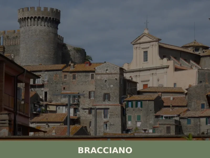
Bracciano
What to see in Bracciano, Italy: Discover its medieval castle and volcanic lake. Located 30 km (19 mi) from Rome, explore this Lazio village for a memorable day trip.
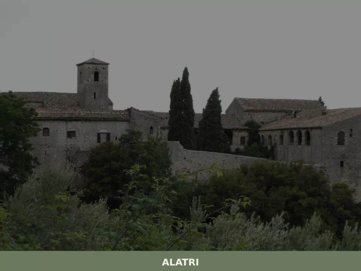
Alatri
Limestone blocks measuring up to 3 by 2 metres sit without mortar on the hill above the city, fitted so precisely that a knife blade cannot pass between them. The terrace walls of the acropolis rise to over 15 metres (49 ft), enclosing a rectangular plateau of 220 by 100 metres (720 by 330 ft). […]
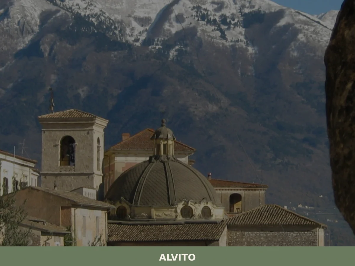
Alvito
What to see in Alvito: discover the 5 top attractions in this Lazio village, from the castle to the Cathedral. Plan your visit with this complete guide.
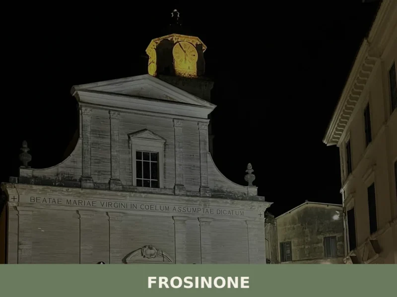
Frosinone
What to see in Frosinone: from the Cyclopean walls to the medieval old town. Discover the 5 top attractions and plan your visit.
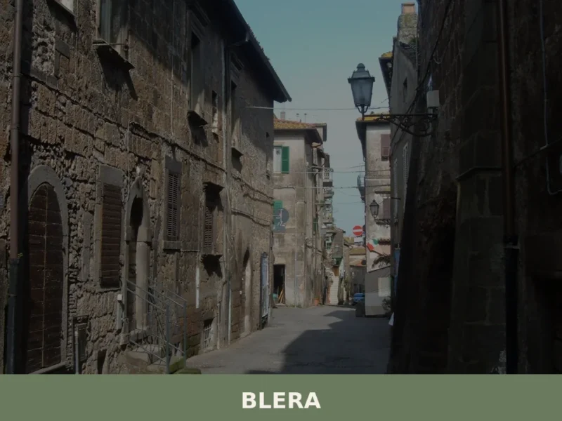
Blera
What to see in Blera, Lazio, Italy: Etruscan rock tombs, Via Clodia bridges, and a town at 270 m altitude. Explore history, food, and travel tips. Discover now.
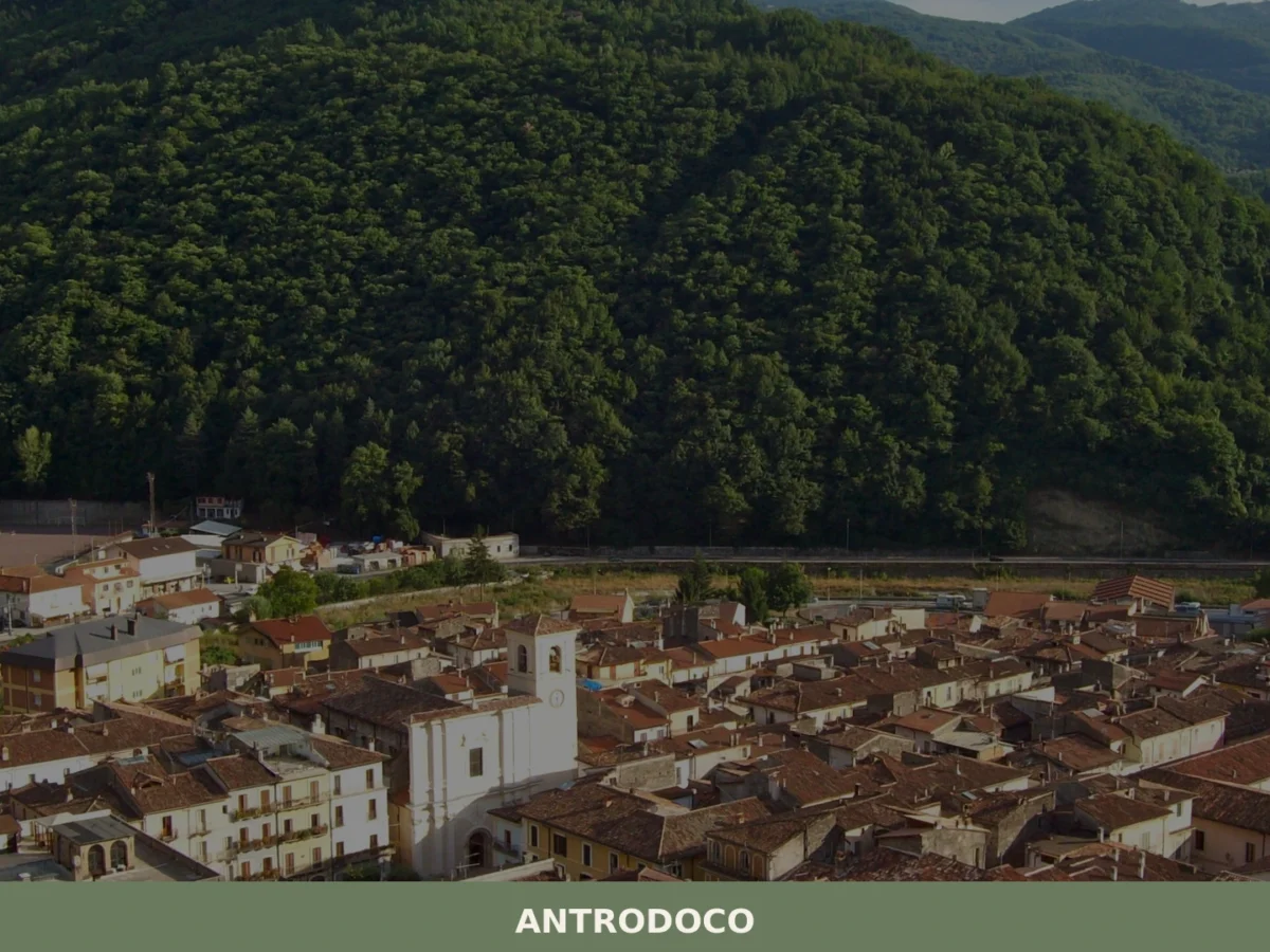
Antrodoco
What to see in Antrodoco: discover the 5 main attractions, the history of this Lazio village and how to plan your visit. A complete guide for your itinerary.
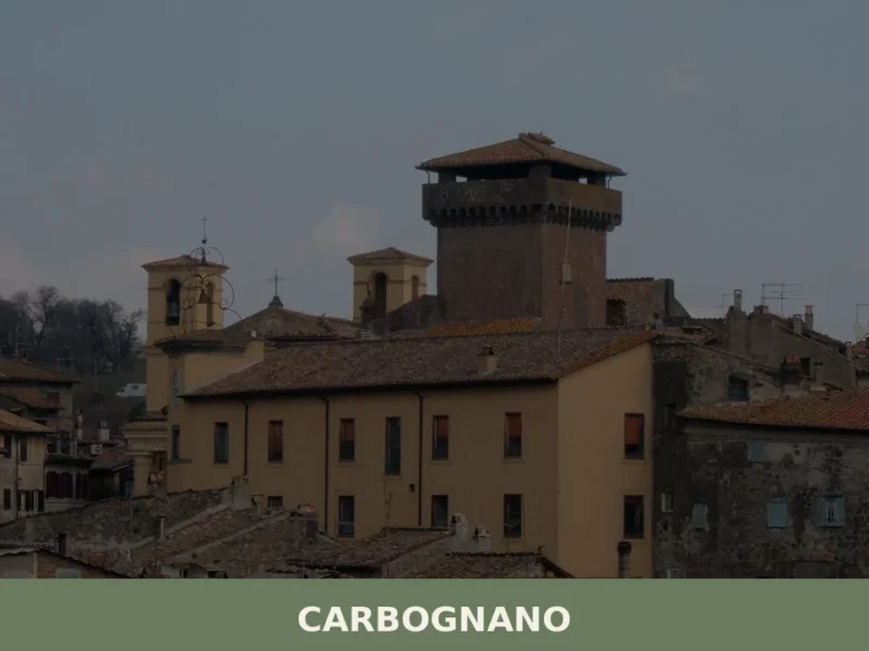
Carbognano
What to see in Carbognano, Italy: a hilltop village at 394 m, 50 km from Rome. Explore its churches, local food, and festivals. Discover Viterbo province.
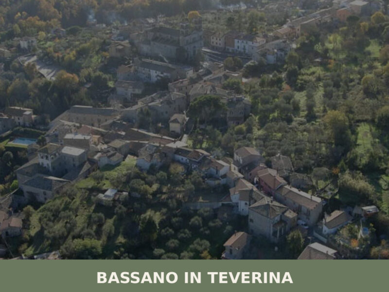
Bassano in Teverina
Standing at 304 metres above sea level, with a population of 1,260, Bassano in Teverina occupies a tuff plateau overlooking the Tiber valley in the province of Viterbo. The village owes the second part of its name to the river that flows just a few kilometres to the east — a geographical reference that distinguishes […]
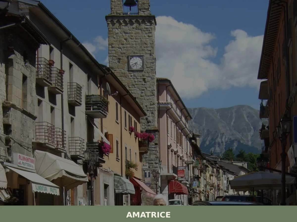
Amatrice
What to see in Amatrice? Explore the 5 main attractions of this village in Lazio. The complete guide awaits you with useful tips. Plan your visit!
Arlena di Castro
With its 839 registered inhabitants and an elevation of 260 metres above sea level, Arlena di Castro occupies a tuff plateau in the Tuscia area of the Viterbo province, just a few kilometres from the border with the Lazio Maremma. The municipal territory preserves traces of Etruscan presence documented by necropolises and ceramic materials found […]


🏡 Know Civita di Bagnoregio better than we do?
If you’re a local or have been there, your knowledge matters: add what’s missing or fix a detail on this page.