


Capranica
Capranica, a Lazio village between history and nature: discover what to see, how to get there and the top places to visit. Plan your trip with this guide.
Discover Capranica
Via Cassia cuts northward out of Rome and, after 66 kilometres (41 mi), rises onto a tuff plateau flanked by volcanic gorges where the rock has been carved into walls, gates and tombs for more than two thousand years.
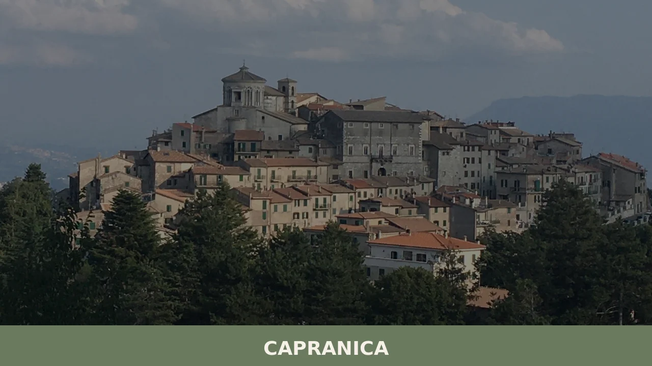
The town of Capranica sits on this ridge, its medieval quarter sealed behind stone gates above the Sutri valley, its streets too narrow for anything wider than a laden donkey cart.
Two crater lakes frame the territory: Lake Vico at 510 m (1,670 ft) above sea level lies 6 km (3.7 mi) to the north, and Lake Bracciano, with a perimeter of 32 km (20 mi), sits 17 km (10.6 mi) to the south.
Deciding what to see in Capranica is easier than it first appears, because the town organises itself into three legible layers — medieval, Renaissance and modern — each separated by its own gate.
Capranica, Lazio, Italy sits at 370 m (1,214 ft) above sea level and holds 6,666 inhabitants, most of them within or just outside walls that have stood since the Anguillara lords ruled the fiefdom.
Visitors to Capranica find Etruscan-era geography, a church façade attributed to one of the great architects of the sixteenth century and a pilgrimage road that has been walked continuously since the Middle Ages.
History of Capranica
The territory around Capranica belonged to Tuscia, the Latin name for southern Etruria, the land where Etruscan civilisation flourished from roughly the ninth to the third century BC.
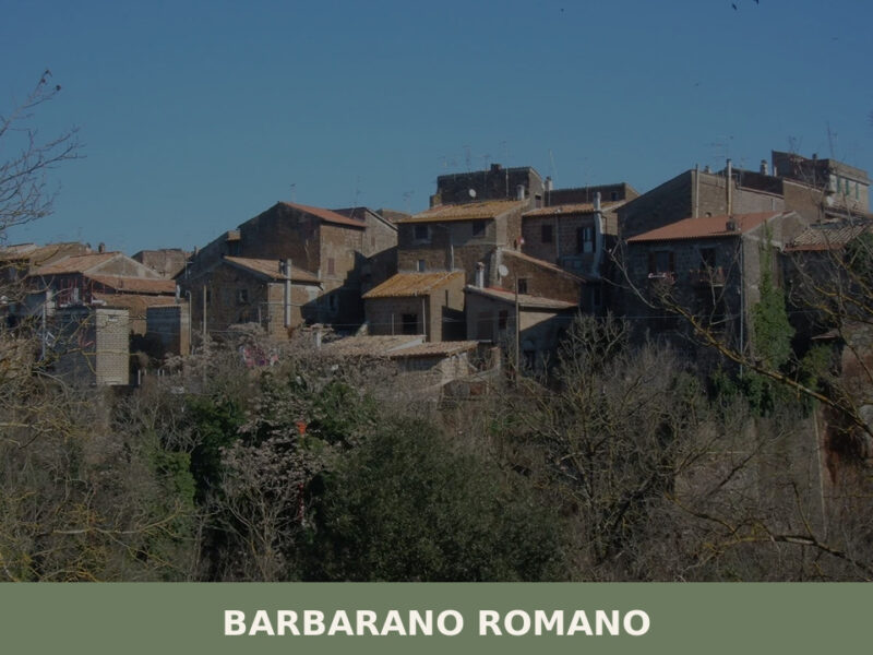
Etruscan necropoli — burial grounds carved directly into the tuff — ring the area: at Sutri, Barbarano Romano, Blera and Tarquinia, all within reach of the town.
Fifteen kilometres (9.3 mi) to the north, in the fields of Valle Cappellana on the road between Cura and Blera, two tombs each with two chambers survive inside a partially levelled tumulus. One of them retains a carved beam-ceiling, grooved columns with Etruscan Doric capitals and square bases, and three decorated deposition beds. Nothing Etruscan has yet been found within Capranica itself, though its position at the only link between southern and central Etruria gave it clear strategic value.
Legend places the town’s foundation in the eighth century AD, when goatherds from the village of Vicus Matrini fled a Lombard invasion and settled on the tuff hill above the valley.
Their settlement took the name Capranica, from capra, the Italian word for goat.
In the year 800, Charlemagne — king of the Franks and of Italy and founder of the Carolingian Empire — crossed through Capranica on his way to Rome, where he was crowned Emperor of the Romans. He likely followed the Via Francigena, a route that the English-born Bishop Willibald of Eichstätt had described in his travel account Hodoeporicon, dated to around 725.
Francesco Petrarch, the scholar and poet who lived from 1304 to 1374, spent a month in Capranica as a guest of the noble House of Anguillara, and recorded in his writing that the farmers there worked their fields with a sword and a spear lying in the furrows beside them, ready to defend themselves at any moment.
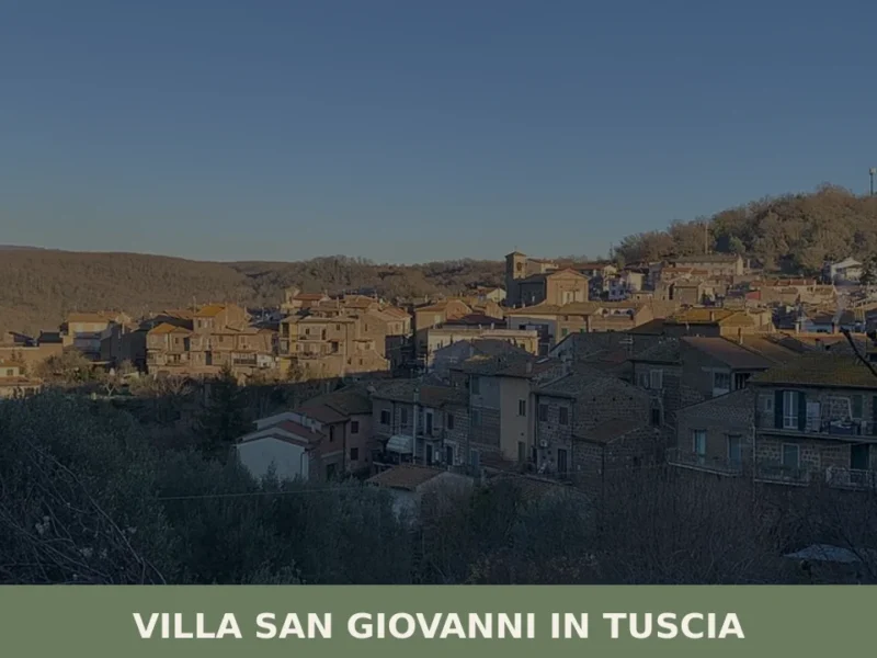
The region known as Villa San Giovanni in Tuscia, which shares this same Etruscan historical substrate in the Province of Viterbo, lies within comparable proximity to the archaeological landscape that surrounds Capranica.
The Anguillara family made Capranica the centre of their fiefdom through the medieval period.
They built churches and acted as patrons of the arts; their palace still stands in the town, now adapted into residential use. Their patronage left a lasting physical record: in the church of San Francesco, the marble tomb effigy by Pietro da Gualdo shows the twin brothers Francesco, who died in 1406, and Nicola, who died in 1408, carved as sleeping youths in armour with swords in their hands.
The French Revolution of 1789 to 1799 caused destruction in nearby Ronciglione, Bassano Romano and Monterano, but Capranica was not affected.
The Napoleonic regime, between 1804 and 1815, brought administrative reforms alongside military conscription and the deportation of those who remained loyal to the old order.
Giuseppe Mazzini, the politician and advocate for Italian unification who lived from 1805 to 1872, passed through Capranica on his way to Rome and left a written account of his admiration for the volcanic landscape and the Etruscan rock tombs he saw along the road.
What to see in Capranica, Lazio: top attractions
Castrovecchio, the Medieval Quarter
Castrovecchio is the oldest section of Capranica, sitting atop a tuff rock between two deeply eroded valleys. Its street plan consists of narrow, winding lanes connecting small piazze — open squares — and noble palazzi with carved portals, particularly along Piazza del Palazzaccio and Via della Viccinella.
Two main gates control access: Porta San Pietro on the east, built into a wall high above the Via Cassia, and Porta del Ponte on the west, where the medieval fabric merges with the Anguillara castle.
Federico Fellini filmed a scene from his 1960 film La dolce vita just outside Castrovecchio, beneath the Porta del Ponte. The escarpments that drop away from the quarter on all sides make the defensive logic of the site immediately legible to any visitor who walks to the edge.
Church of Madonna del Piano and the façade attributed to Vignola
The church of Madonna del Piano was built between 1559 and 1587, and its façade is attributed to Giacomo Barozzi da Vignola, the architect who wrote Regola delli cinque ordini d’architettura — known in English as The Five Orders of Architecture — one of the most widely circulated architectural manuals ever produced.
The construction date places this building squarely within the Renaissance section of Capranica, which developed between 1380 and 1600, west of the medieval core.
Standing in front of the façade, the proportional system that Vignola codified in his theoretical work becomes a practical object of study. The church sits along a route that connects the Renaissance quarter to the older town, making it a natural stop when moving between the two historic zones.
Church of Santa Maria and its paintings
The Neoclassical church of Santa Maria was designed by the architect Virginio Vespignani in 1867, and its interior holds several works spanning several centuries.
The oldest is a Benedictory Saviour dated to the twelfth or thirteenth century. A triptych depicting Saint Terentian, Saint Roch and Saint Sebastian dates from the fifteenth or sixteenth century.
A statue of the Madonna delle Grazie was made in 1808.
The combination of a nineteenth-century architectural shell enclosing paintings from entirely different periods makes the iconographic sequence here worth examining methodically rather than at a glance. Vespignani is a documented figure in Roman ecclesiastical architecture, which gives the building an additional layer of professional interest for visitors focused on the history of Italian design.
Anguillara Torrione Castle and Porta del Ponte dell’Orologio
The Anguillara castle anchors the western end of the old town, its tower rising over the gate known as Porta del Ponte dell’Orologio — the Clock Bridge Gate — which carries both a portal and a clock within the same medieval structure. The Anguillara family, who controlled Capranica through the medieval period, built this complex as both residence and defensive fortification.
The castle fabric merges with the town wall at this point, so the boundary between civic and private architecture is deliberately ambiguous.
The gate’s position directly above a valley drop gives it a commanding view over the approach roads below, a view that explains why the Anguillaras chose this location and why the structure has survived in recognisable form to the present day.
Cathedral of San Giovanni
San Giovanni functions as Capranica’s cathedral and carries three distinct construction phases within a single building.
The original bell tower dates to the thirteenth century and remains in place. The dome is a sixteenth-century addition. The body of the church was reconstructed in its current form between 1800 and 1840. Standing inside, the vertical sequence — medieval tower visible from the exterior, Renaissance dome overhead, Neoclassical nave — compresses several hundred years of architectural decision-making into one building volume.
The cathedral is located within the town’s historic core and is accessible on foot from both the medieval quarter and the Renaissance section.
The church of San Pietro in the same town dates to the ninth century, offering a further point of comparison for those interested in the long chronology of religious building in Capranica.
Local food and typical products of Capranica
Agriculture is the dominant economic activity in the territory of Capranica, and the landscape makes the reasons clear. Hazelnut plantations cover the volcanic hills in every direction from the town. Italy ranks as the second largest hazelnut-producing country in the world, and 28 percent of its total national hazelnut output comes from this specific area of Lazio. Olive groves, fruit orchards, market gardens, and dairy and sheep farms complete the agricultural picture.
The volcanic soil, derived from the Cimini and Sabatini mountains, produces a particular mineral composition that growers in the area consider a direct factor in the quality of their output.
The dietary traditions of Capranica are those of interior Lazio: produce-led, dependent on seasonal availability, and shaped by the practical requirements of an agricultural community rather than by court cooking.
Hazelnuts appear in local preparations both raw and roasted, used in confectionery and as an ingredient in regional biscuit making. Dairy from local sheep farms provides the raw material for fresh and aged cheeses consumed within the community and sold at local markets.
The hazelnut, as both fresh fruit and processed ingredient, is the single most economically significant food product that the territory exports to the wider Italian and European market.
Vegetables from the market gardens — including the broad bean, chicory and seasonal brassicas — appear in soups and side dishes that follow the cadence of the agricultural year rather than a fixed menu.
No certified DOP or IGP product is recorded in the provided sources as specific to Capranica itself, but the hazelnut production of the wider Viterbo province, of which Capranica’s output forms a documented part, feeds into supply chains for major Italian confectionery producers.
Visitors who want to buy directly from producers will find hazelnut products — roasted nuts, hazelnut flour, nut-based spreads — at local agricultural markets in the area.
The olive oil produced from the groves around Capranica is consumed locally and occasionally available at farm gates, though no specific certification is cited in the available documentation for this village specifically.
The area around Cellere, further north in the same Tuscia region of Lazio, shares the same volcanic agricultural base and similarly orientated local food culture, making a comparison between the two territories useful for visitors exploring the broader food geography of northern Lazio.
For those planning visits in late summer, hazelnut harvest activity in the fields around Capranica is visible from the road from August onward, providing a direct view of the agricultural cycle that underlies the local economy.
Festivals, events and traditions of Capranica
The patron saint of Capranica is Terenziano di Todi — Saint Terentian of Todi — and his feast day falls on the first of September. The date sits at the end of summer, when the harvest season is beginning and the heat of the Lazio interior has started to ease.
The feast is the most significant civic and religious event in the town’s calendar, marked by a procession through the historic streets of the old quarter and by the gathering of the resident community alongside those who maintain second homes in the town.
The church of Santa Maria holds a triptych that depicts Saint Terentian alongside Saint Roch and Saint Sebastian, providing a direct iconographic link between the town’s main devotional image and the patron it celebrates each year on this date.
The Via Francigena, which runs alongside Capranica’s town walls and along the precipitous escarpments below them, brings a secondary and continuous flow of visitors throughout the year: pilgrims walking the historic route from Canterbury through Switzerland and France to Rome.
This is not a seasonal festival but a structural feature of the town’s position on one of Europe’s major medieval pilgrimage roads.
The route still functions as an active pilgrimage corridor, and walkers pass through Capranica at all seasons, more concentrated in spring and autumn when temperatures along the route are most manageable. The cultural presence of the Via Francigena gives Capranica a role in a European itinerary that extends well beyond the boundaries of Lazio.
When to visit Capranica, Italy and how to get there
The best time to visit Capranica for those coming from outside Italy is spring — April through June — and early autumn, from September through October. These months offer moderate temperatures at 370 m (1,214 ft) altitude, reduced road traffic on the Via Cassia compared to the August peak, and the possibility of attending the patron saint feast on the first of September.
Summer weekends bring Romans with second homes in the town, which increases activity in the streets but also reduces availability of quiet accommodation nearby.
Winter is quiet and cold, but the volcanic landscape around the two crater lakes holds its form regardless of season, and the medieval quarter is accessible year-round.
Capranica lies 66 km (41 mi) from the centre of Rome, making it a realistic day trip from the capital. By car, the most direct route follows Via Cassia northward; the drive takes approximately one hour under normal traffic conditions.
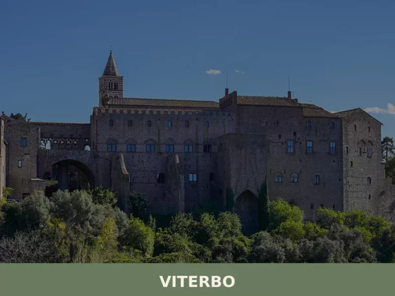
For those travelling by rail, Trenitalia operates commuter train services from Capranica Scalo station to both Rome and Viterbo, placing the town on a direct line between the two cities. Capranica is located 24.5 km (15.2 mi) southeast of Viterbo, the provincial capital, which can serve as a base for exploring multiple towns in the area.
The nearest international airports are Rome Fiumicino and Rome Ciampino; from Fiumicino, the drive to Capranica takes approximately one hour and ten minutes by car via the A1 motorway and the Via Cassia.
If you arrive by car from Rome, follow Via Cassia northbound (SS2) and enter Capranica through the eastern gate, Porta San Pietro, which gives direct access to the medieval quarter. International visitors should note that English is not widely spoken in smaller shops and at local markets, and carrying cash in euros is practical for purchases at farm stalls and in the historic centre.
The proximity of Lake Vico, 6 km (3.7 mi) to the north, and Lake Bracciano, 17 km (10.6 mi) to the south, means that a visit to Capranica can be combined with either lake on the same day without significant additional driving.
The volcanic hills between the two lakes also contain several other tuff-plateau villages worth a stop.
Visitors interested in the Via Francigena route can walk a section of the path alongside Capranica’s walls and continue toward Sutri, which borders Capranica’s municipality and holds its own significant Etruscan and Roman remains.
Travellers who want to extend their time in the region might consider Belmonte in Sabina, a hill village in Lazio that shares the same category of borghi di collina — upland villages — and offers a comparable landscape of volcanic geology and historic settlement patterns further east in the region.
Where to stay near Capranica
Many Romans who visit the area own private properties in Capranica, and the town has a documented history of attracting second-home buyers drawn by its proximity to Rome and the two crater lakes.
The countryside between Capranica and Lake Vico supports a number of agriturismi — farm-stay properties that offer accommodation alongside meals based on local produce — which represent the most common form of lodging for visitors to this part of the Viterbo province.
Viterbo itself, 24.5 km (15.2 mi) to the northwest, provides a wider range of hotels and serves as a practical base for those who plan to visit several towns in the area across multiple days.
For those walking the Poggio Bustone side of Lazio’s pilgrimage network, rural accommodation options along the Via Francigena corridor are also bookable through dedicated pilgrim hospitality networks, though specific property names cannot be confirmed from the available sources for Capranica itself.
Frequently asked questions about Capranica
What is the best time to visit Capranica?
Late spring (April–June) and early autumn (September–October) offer the most pleasant conditions at 370 m elevation, with mild temperatures and clear views over the volcanic landscape. September 1st is the feast of the patron saint Terenziano di Todi, making it the town's most atmospheric day, with local celebrations in the historic centre. Summer weekends see visitors exploring the nearby Lake Vico and Lake Bracciano, so booking accommodation in advance is advisable. Winter is quiet but rewarding for those interested in uncrowded medieval architecture and hazelnut harvest scenery in October.
What are the historical origins of Capranica?
Legend places Capranica's foundation in the 8th century AD, when goatherds fleeing a Lombard invasion settled on a tuff ridge above the Sutri valley, naming their settlement after capra (goat). In 800 AD Charlemagne passed through on his way to Rome, likely following the Via Francigena. The Anguillara family dominated the town through the medieval period, building churches and a castle still visible today. The poet Petrarch stayed here as a guest of the Anguillara in the 14th century. The territory's deeper roots are Etruscan, with necropoli carved into tuff rock throughout the surrounding area.
What to see in Capranica? Main monuments and landmarks
The medieval quarter Castrovecchio, perched on tuff rock between two valleys, is the essential starting point, accessible through Porta San Pietro or Porta del Ponte dell'Orologio on the Anguillara castle tower. The church of Madonna del Piano (1559–1587) has a façade attributed to Vignola, architect of the canonical Five Orders of Architecture. The Cathedral of San Giovanni combines a 13th-century bell tower, a 16th-century dome and a Neoclassical nave rebuilt 1800–1840. Santa Maria church, designed by Vespignani in 1867, contains paintings spanning the 12th to 19th centuries. All sites are walkable from the town centre.
What are the main natural or scenic attractions near Capranica?
Two volcanic crater lakes frame the territory: Lake Vico, a nature reserve at 510 m elevation, lies just 6 km north of Capranica and offers walking paths along its shores through beech and chestnut woods. Lake Bracciano, one of central Italy's largest lakes with a 32 km perimeter, is 17 km to the south. The volcanic gorges carved into tuff rock along the Via Cassia corridor are visible from the town's escarpments. Hazelnut plantations cover the surrounding Cimini hills, making autumn drives through the countryside particularly scenic.
Where to take the best photos in Capranica?
The escarpment edges of Castrovecchio offer unobstructed views over the surrounding volcanic valleys — the drop from the medieval walls makes the defensive logic of the site visually dramatic. Porta del Ponte dell'Orologio, the medieval clock gate of the Anguillara castle, is one of the most photographed structures in the town. The façade of Madonna del Piano church, attributed to Vignola, rewards architectural photography in morning light when the stone detail is most readable. For landscape shots, the hazelnut-covered hills north toward Lake Vico are best captured in October during harvest season.
Are there museums, churches or historic buildings to visit in Capranica?
The church of Madonna del Piano (1559–1587), with its façade attributed to Vignola, is the town's most architecturally significant building. The Cathedral of San Giovanni contains a 13th-century bell tower and is open to visitors in the historic centre. Santa Maria church, designed by Virginio Vespignani (1867), holds works from the 12th through 19th centuries including a Benedictory Saviour and a 15th-century triptych. The Anguillara castle tower and Porta del Ponte dell'Orologio are visible from the street. The church of San Francesco contains the 15th-century marble tomb effigy by Pietro da Gualdo. Opening hours vary seasonally; checking locally on arrival is recommended.
What can you do in Capranica? Activities and experiences
Capranica is well placed for a half-day walking circuit through three distinct historic layers — medieval Castrovecchio, the Renaissance quarter centred on Madonna del Piano, and the 19th-century town — each separated by its own gate. Day trips to Lake Vico (6 km north) allow swimming, birdwatching and shoreline walks within a protected nature reserve. The Via Francigena pilgrimage route passes through the area and can be walked in sections. In autumn, hazelnut harvesting activity is visible across the surrounding hills. The town also makes a practical base for visiting the Etruscan necropoli at Sutri and Barbarano Romano.
Who is Capranica suitable for?
Capranica suits travellers interested in medieval and Renaissance architecture, Etruscan landscape history and authentic hill-town atmosphere without mass tourism. Its compact, walkable historic centre and proximity to Lake Vico make it accessible for families and older visitors. Couples seeking a quiet Lazio base away from the more frequented towns of the region will find the medieval quarter and volcanic scenery rewarding. History enthusiasts can build an itinerary around the Anguillara legacy, the Via Francigena route and nearby Etruscan sites. The town is 66 km from Rome on the Via Cassia, making it feasible as a day trip for independent travellers based in the capital.
What to eat in Capranica? Local products and specialties
Hazelnuts are the defining agricultural product of the territory: the Province of Viterbo produces 28 percent of Italy's total national hazelnut output, and Capranica sits within this producing zone. Local hazelnuts appear in pastries, spreads and market stalls throughout the area. The volcanic soil of the Cimini hills also supports olive groves, fruit orchards and dairy farms, which supply local restaurants and weekly markets. The broader culinary tradition of northern Lazio — acquacotta (a vegetable and bread soup), porchetta and sheep's cheeses — is well represented in the town's restaurants and alimentari shops.
Nearby Villages near Capranica
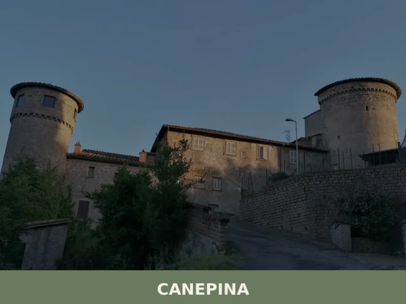
In Lazio More villages to discover
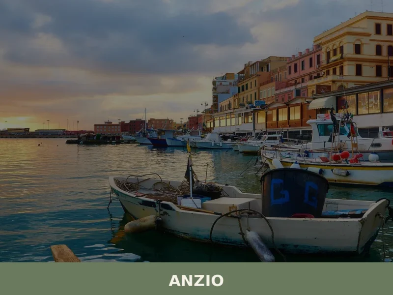
Anzio
What to see in Anzio, Lazio, Italy: from WWII cemeteries to Roman ruins 51 km from Rome. Discover top attractions, local seafood, and how to get there.
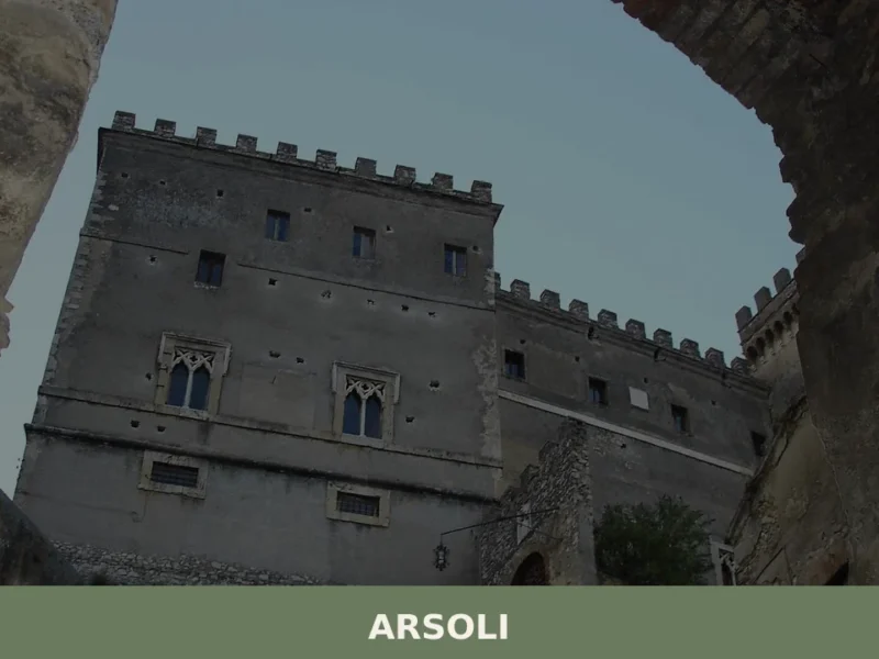
Arsoli
What to see in Arsoli, Lazio, Italy: a castle from the 11th century, medieval streets at 666 m altitude, and a Roman aqueduct. Discover the complete guide.
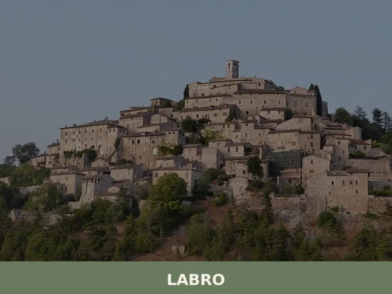
Labro
What to see in Labro: medieval castle, Lake Piediluco views and PAT-certified guanciale in a 360-person village at 628 m. Plan your visit to this Rieti province gem.
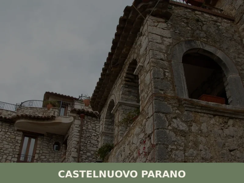
Castelnuovo Parano
What to see in Castelnuovo Parano, Lazio, Italy: a village of 885 at 310 m. Discover the 1059 castle origins, Gustav Line history and local hilltop culture.
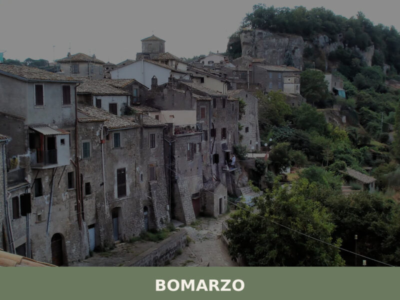
Bomarzo
A tufa-carved village of 1,674 inhabitants in northern Lazio, Bomarzo hides Renaissance monsters, Etruscan ruins, and one of Italy's most unsettling gardens.
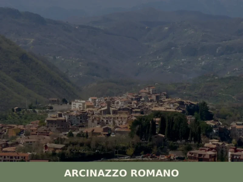
Arcinazzo Romano
What to see in Arcinazzo Romano, Lazio, Italy: explore Trajan's Villa ruins at 831 m altitude, the plateau landscape and local traditions. Discover the complete guide.
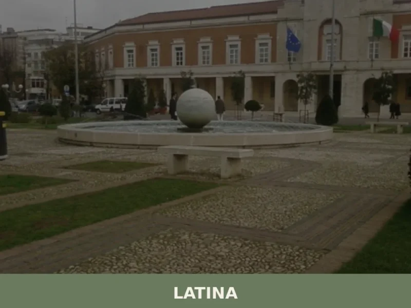
Latina
What to see in Latina: discover the 5 top attractions in this Lazio village, from monuments to the historic centre. Plan your visit with this guide.
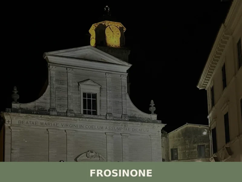
Frosinone
What to see in Frosinone: from the Cyclopean walls to the medieval old town. Discover the 5 top attractions and plan your visit.
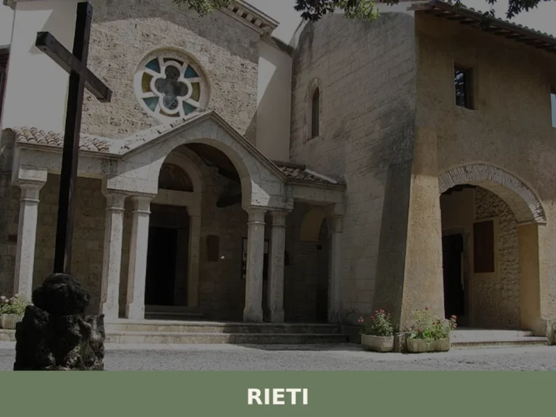
Rieti
What to see in Rieti: from the medieval walls to the Cathedral, discover the top 5 attractions. Complete guide to visiting Rieti in one day.
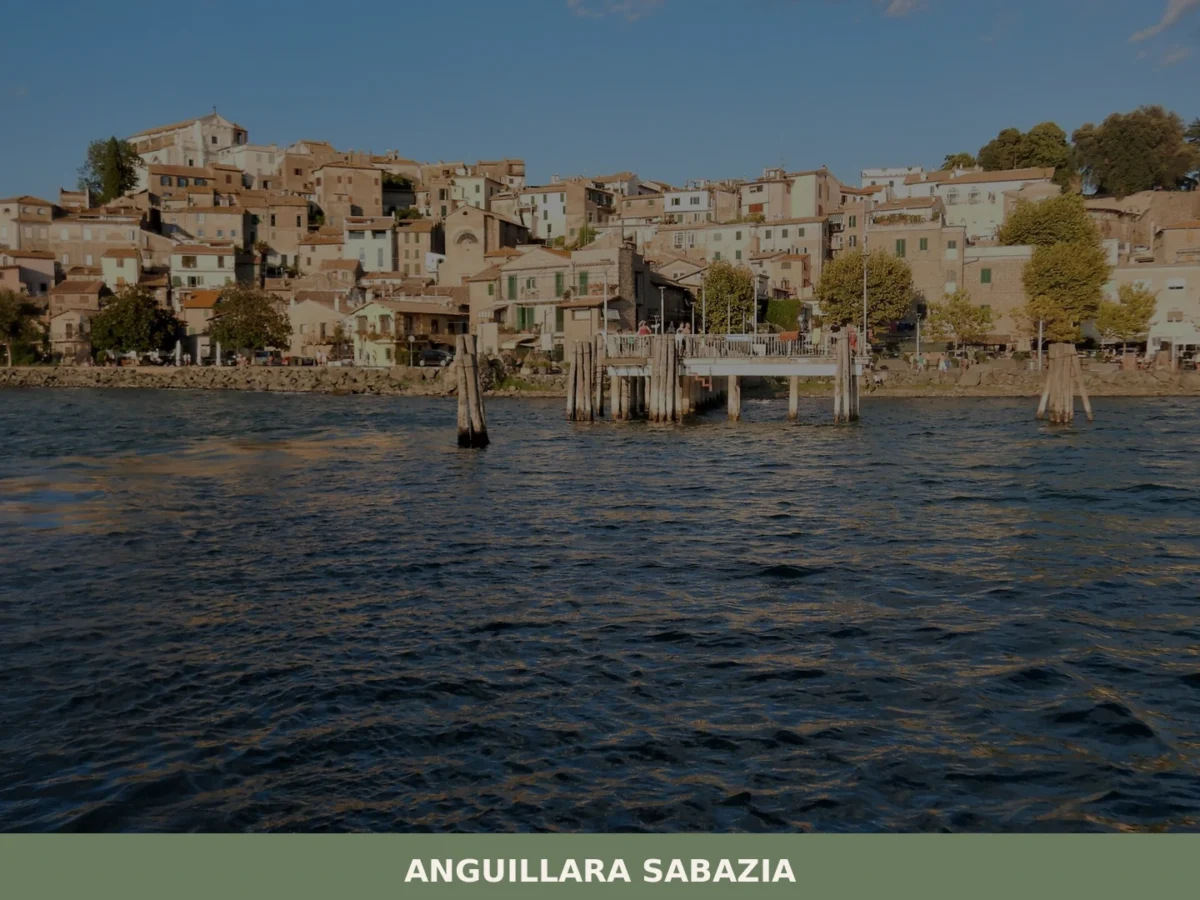
Anguillara Sabazia
What to see in Anguillara Sabazia, Lazio, Italy: lake beaches, a Roman villa 18 m tall, and 18,816 residents. Discover top things to do and how to get there.


🏡 Know Capranica better than we do?
If you’re a local or have been there, your knowledge matters: add what’s missing or fix a detail on this page.