


Pennapiedimonte
what to see a Pennapiedimonte: 5 attractions nel village a 669 m s.l.m. in Abruzzo. Scopri il centro storico, la Majella, le festivals di agosto e i prodotti PAT.
Discover Pennapiedimonte
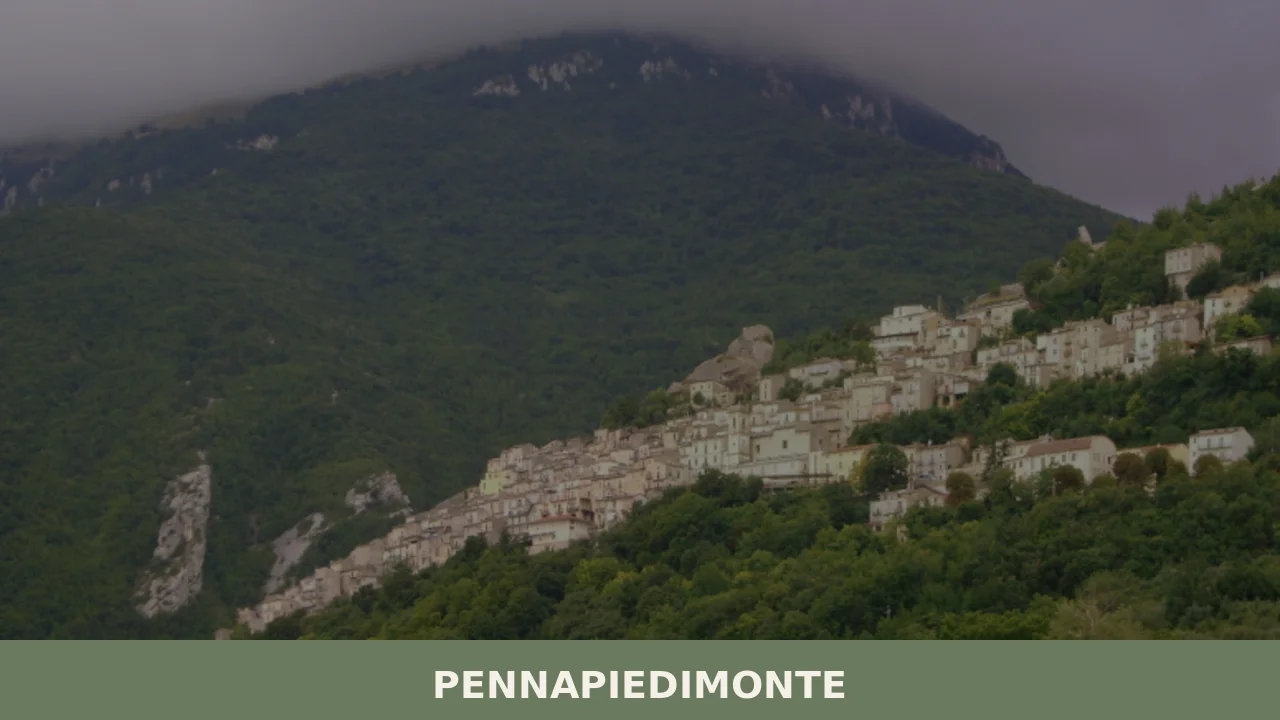
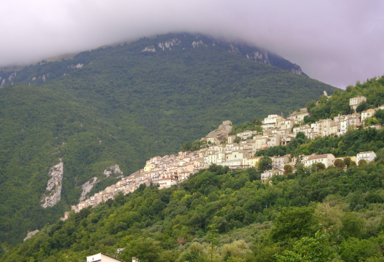
Six hundred and sixty-nine metres above sea level, four hundred and eleven inhabitants, a ridge of the Maiella that cuts the skyline with the same precision as a clean stroke. Pennapiedimonte looks out over the Foro valley from a position that leaves no doubt about its nature: a settlement chosen to control the territory, not for convenience.
The local stone houses line the narrow lanes according to a logic that follows the terrain, not modern urban planning.
Here, in the province of Chieti, the morphology of the landscape has dictated every construction decision for centuries.
What to see in Pennapiedimonte is a question that deserves concrete answers.
The village offers at least five notable attractions, from the church of Santa Maria delle Grazie to the territory of the Majella National Park that surrounds it, taking in documented hiking routes, the medieval civic architecture of the historic centre, and the traditions tied to the patron feast of Santa Brigida Vergine. Those who come to Pennapiedimonte find a mountain village with a vocation for hiking, a well-preserved historic fabric, and a gastronomy deeply rooted in the Abruzzese agropastoral tradition.
History and origins of Pennapiedimonte
The name of the village carries within it its own geographical description. Penna derives from the Latin pinna, which indicated a prominent rock or peak, a term very widespread in the Apennine place names of Abruzzo.
Piedimonte specifies instead the position at the foot of the mountain ridge, that is, on the eastern slope of the Maiella.
The compound toponym thus recounts, without ambiguity, the relationship that the settlement has always had with the mountain: not above it, not distant from it, but precisely at the boundary between the habitable plateau and the rocky face that rises above.
This location was not accidental: it guaranteed natural protection, access to the water resources of the mountain streams, and visual control over the valley below.
The earliest documentary records of the settlement date back to the medieval period, when the territory formed part of that system of small castra and hamlets that dotted the slopes of the Maiella under the control of local feudal powers, first Lombard and then Norman.
In the twelfth and thirteenth centuries, the consolidation of the feudal system in the Norman-Swabian South led to the formalisation of many settlements in the area, including those on the Chieti-facing slopes of the Maiella.
Pennapiedimonte belongs to this category of villages whose existence is bound to the agropastoral economy and the management of mountain resources: summer pastures, timber forests, springs.
A similar context characterises Brittoli, another village in the Abruzzese mountains that shares the same medieval feudal matrix and the same settlement logic on a rocky spur.
During the Angevin and Aragonese period, the territory of the province of Chieti saw a progressive administrative stratification that also involved Pennapiedimonte.
Like many centres in the Chieti hinterland, the village was subject to the fluctuations of baronial control, passing under the influence of various noble families during the fourteenth and fifteenth centuries.
The modern era brought a gradual demographic stabilisation and a more defined settlement structure, with the construction or rebuilding of the main churches and civic buildings that still characterise the historic centre today.
The nineteenth century, with the Unification of Italy and the subsequent administrative reorganisation, definitively placed Pennapiedimonte within the orbit of the province of Chieti, where it still exists today as an autonomous municipality with its 411 inhabitants.
What to See in Pennapiedimonte: Main Attractions
Historic Centre and Stone Architecture
The building fabric of Pennapiedimonte’s historic centre develops along an organic layout that follows the contour lines of the ridge.
The houses, built predominantly from local limestone quarried from the slopes of the Maiella, display an irregular-course masonry technique that has been refined over centuries.
The doorways of the oldest buildings, dating from between the 16th and 18th centuries, feature worked jambs crafted with a care that contrasts with the general sobriety of the façades.
Walking through the medieval core, one can identify traces of the transformations that occurred over the centuries: bricked-up openings, later additions, and external stone staircases connecting upper floors directly to the public thoroughfare. Visiting the historic centre requires a good hour for those who wish to read every architectural detail carefully.
Church of Santa Maria delle Grazie
The church of Santa Maria delle Grazie represents the religious and urban focal point of Pennapiedimonte. The building, in its current form attributable to works carried out between the 17th and 18th centuries, preserves interior decorative elements that document the Marian devotion deeply rooted in the local community.
The worked stone façade overlooks an open space that serves as a point of reference for the entire road layout of the village.
Inside, the fresco decoration of some of the side chapels provides a direct visual record of local patronage and of the most widespread iconographic themes in the Chieti-Maiella area between the 17th and 18th centuries.
Before visiting, it is worth checking the opening hours on the official website of the Municipality of Pennapiedimonte, as access may depend on the availability of the local custodian.
Majella National Park and Hiking Trails
Pennapiedimonte falls within the territory of the Majella National Park, the protected area that safeguards one of the most extensive massifs in the central Apennines, with peaks exceeding 2,700 m above sea level.
This location grants the village direct access to a documented and waymarked trail network, which sets off from the 669 m above sea level of the inhabited centre and climbs towards the high-altitude zones through beech forests and mountain grasslands.
The trails that depart from the municipal territory allow walkers to reach areas of first-rate naturalistic interest, with flora and fauna protected under park regulations.
Those setting out from Pennapiedimonte in a north-westerly direction progressively encounter increasingly alpine environments, with an altitudinal gain that can exceed 1,000 metres in a single outing. The ideal season for high-altitude routes runs from June to September.
Località Fonte Gallo
The locality of Fonte Gallo, situated within the municipal territory of Pennapiedimonte, is a point of reference for the local community both in naturalistic and devotional terms.
The spring that gives the area its name feeds a landscape of interest with riparian vegetation, and is the site of the mass held in honour of Mary, Mother of Good Counsel, celebrated every year on 16 August, the eve of the patron saint festivities.
The combination of natural element and religious practice is typical of mountain places of worship in inland Abruzzo, where springs and clearings have often acquired sacred significance over the centuries.
Reaching Fonte Gallo on foot from the village centre means travelling through a stretch of the agricultural and woodland territory that surrounds Pennapiedimonte, with a gradually unfolding view over the valley floor that opens up as one descends in altitude.
Viewpoint and Panorama over the Maiella Slopes
The village’s position at 669 m above sea level on an eastward-facing ridge guarantees viewpoints of undeniable visual interest. On the uphill side, the face of the Maiella rises with pronounced verticality, with the limestone rock formations clearly visible during the hours of raking light, in the morning and late afternoon.
On the valley side, the gaze sweeps towards the Foro valley and, on days of excellent visibility, reaches the Adriatic coastal strip some 40 km away as the crow flies.
This dual orientation — mountains behind and sea on the horizon — is one of the most distinctive geographical features of the Pennapiedimonte area and is reason enough in itself for a prolonged pause at the village’s vantage points, which can be identified by walking the perimeter of the historic core.
Traditional cuisine and products of Pennapiedimonte
The gastronomic tradition of Pennapiedimonte is deeply rooted in the agro-pastoral economy that for centuries has characterised the villages on the eastern slopes of the Maiella. Sheep and goat farming, practised on the high-altitude meadows of the park, has provided the raw material for cheese production and meat-based preparations that still define the cuisine of the Chieti hinterland today.
Mountain agriculture, limited by the morphology of the terrain, has historically focused on hardy crops and on domestic processing of products that left nothing to waste.
This dual vocation, pastoral and farming, is directly reflected in the repertoire of local dishes and in the certified products of the area.
Among the dishes most deeply rooted in local tradition are legume soups with home-made pasta, prepared with spelt or local beans and enriched with lard or cured guanciale. Lamb and mutton are the main ingredients in numerous preparations: the most well-known at regional level are arrosticini, skewers of diced mutton cooked over embers, which in the Chieti hinterland are prepared following a technique handed down from generation to generation.
Cow’s milk cheeses, produced using traditional techniques on local farms, accompany meals alongside tomato preserves prepared at the end of summer according to long-established customs.
Among the products with PAT certification (Traditional Agri-food Products) documented in the area and relevant for those exploring what to see in Pennapiedimonte and the surrounding territory, the following are worth noting: Arrosticini (PAT) — municipalities: Pescara, Chieti, Teramo, L’Aquila; Caciocavallo abruzzese (PAT) — municipalities: L’Aquila, Chieti, Pescara, Teramo; Caciotta vaccina frentana, Formaggio di vacca, Casce d’vacc (PAT) — municipalities: Lanciano, Guardiagrele, Ortona, Chieti, Francavilla al Mare, Fara Filiorum Petri, Castel Frentano; Centerba o Cianterba (PAT) — municipalities: Tocco da Casauria, Scafa, Alanno, Pietranico, Castiglione a Casauria; Bocconotti di Castel Frentano (PAT) — municipalities: Castel Frentano, Lanciano, Chieti.
Centerba, an herbal liqueur obtained from the maceration of medicinal herbs gathered on the slopes of the Maiella, is perhaps the product most directly linked to the mountain ecosystem in which Pennapiedimonte is set.
Local markets and summer festivals, concentrated between July and August, represent the most direct opportunity to purchase fresh and aged products directly from local producers.
The concentration of patron saint festivals in August makes that month the period when the presence of exhibitors and food stalls is at its highest in the village and in the surrounding municipalities.
Those looking for aged cheeses and cured meats can turn to the agritourism farms within the park, where production is often direct and traceable.
Festivals, events and traditions of Pennapiedimonte
The liturgical calendar of Pennapiedimonte reaches its most intense moment in the second half of August, with a cycle of celebrations that unfolds over four consecutive days.
On 16 August it opens with a mass in honour of Maria Madre del Buon Cammino (Mary Mother of Safe Journey), celebrated at the Fonte Gallo locality, outside the built-up centre, in a natural setting that lends the service a collected and distinctive character.
The following day, 17 August, is dedicated to Santa Brigida Vergine, the patron saint of the village: the feast includes a solemn mass, a procession with the statue of the saint through the streets of the historic centre, and the traditional communal gathering.
On 18 August Sant’Antonio di Padova is celebrated, and on 19 August San Rocco, completing a triptych of popular devotion that involves the entire community of 411 inhabitants and many emigrants who return to the village precisely at this time of year.
The sequence of August festivals serves a precise social function beyond the religious one: it represents the moment of the year when the dispersed community — those who have left the village for cities or abroad — physically reunites in their place of origin. The celebrations are accompanied by brass bands, evening fireworks, and the reopening of businesses that remain closed during winter.
For an outside visitor, attending the processions of 17–19 August offers a direct insight into the forms of popular Abruzzese mountain devotion, which have remained substantially stable in their essential elements throughout the twentieth century.
It is worth checking the updated programme of celebrations on the municipal website to find out about any variations in the order of events.
When to Visit Pennapiedimonte and How to Get There
The best time to visit Pennapiedimonte depends on the type of experience you are looking for. Those aiming for hikes in the Majella National Park will find optimal conditions between June and September, when the high-altitude trails are free of snow and the mountain flora is in full bloom. August coincides with the patron saint festivals and the peak of local presence, which brings the village to life but reduces the tranquillity of its narrow alleys.
Spring — April and May — offers mild temperatures, a green landscape, and still-limited crowds. Autumn, with the beech foliage in the high-altitude beech forests, delivers intense colours on the Majella hillside visible from the village.
Winter is frequented mainly by those who love the silence of depopulated villages and snowshoe outings on the park’s snow-covered terrain.
To reach Pennapiedimonte by car, the most direct route from the A14 motorway (Bologna–Taranto) involves exiting at the Lanciano toll gate, followed by approximately 35 km along provincial roads heading west towards the inland Chieti area.
Alternatively, the Pescara Sud–Francavilla toll gate allows you to reach the village in about 50 km through the Foro valley. The nearest railway station is Lanciano, connected to the Adriatic line: from the station, the journey takes approximately 35–40 minutes by car.
The reference airport is the Abruzzo International Airport in Pescara, located about 60 km from the village.
Those visiting Pennapiedimonte arriving from Guardiagrele — approximately 15 km away — can combine the two stops in a single day, given that Fara Filiorum Petri also lies along this itinerary in the lower Chieti area, a short distance from the main road.
| Starting Point | Distance | Estimated Time |
|---|---|---|
| Lanciano (A14 toll gate) | 35 km | 40 minutes |
| Pescara (airport) | 60 km | 1 hour |
| Chieti city | 45 km | 50 minutes |
| Guardiagrele | 15 km | 20 minutes |
Those planning a broader itinerary through the area can extend the route towards Capestrano, a village in the province of L’Aquila renowned for the archaeological site from which the Warrior of Capestrano originates, or towards Carpineto Sinello, in the southern Chieti area, which shares with Pennapiedimonte a mountain vocation and the structure of a compact stone village.
For up-to-date timetables and practical information about the municipal area, the official municipal website remains the primary reference.
Frequently asked questions about Pennapiedimonte
What is the best time to visit Pennapiedimonte?
The ideal time to visit Pennapiedimonte depends on your interests. For hiking and enjoying the Majella National Park, the warmer months from June to September are best, offering suitable conditions for high-altitude trails. If you wish to experience local traditions, plan your visit around mid-August. The patron saint festivities for Santa Brigida Vergine take place from August 17th to 19th, with additional celebrations for Sant’Antonio di Padova and San Rocco. On August 16th, a special mass is held at Località Fonte Gallo. Spring and early autumn also offer pleasant temperatures for exploring the historic centre and lower trails.
What to see in Pennapiedimonte? Main monuments and landmarks
Pennapiedimonte offers a captivating blend of history and nature. Explore the well-preserved Historic Centre, characterized by stone houses and medieval architecture, taking about an hour to appreciate its details. Visit the Church of Santa Maria delle Grazie, a 17th-18th century edifice showcasing deep Marian devotion; remember to check the Municipality's official website for current opening hours. The village also serves as a gateway to the Majella National Park, providing direct access to numerous hiking trails. Don't miss the panoramic viewpoints around the historic core, offering breathtaking vistas of the Maiella mountains and the Foro valley stretching towards the Adriatic coast.
What are the main natural or scenic attractions of Pennapiedimonte?
Pennapiedimonte's natural beauty is intrinsically linked to its position within the Majella National Park. Hikers can access a documented network of trails directly from the village, ascending through beech forests to high-altitude mountain grasslands, ideal from June to September. The Località Fonte Gallo, a scenic spring area, is significant for its riparian vegetation and as a site for traditional religious celebrations. Additionally, the village itself, perched at 669 meters, offers spectacular panoramic viewpoints. From here, you can admire the imposing Maiella massif, the expansive Foro valley, and on clear days, even the distant Adriatic coastline.
Where to take the best photos in Pennapiedimonte?
For stunning photographs, Pennapiedimonte offers several prime locations. The historic centre itself is highly photogenic, with its narrow lanes, irregular stone masonry, and ancient doorways from the 16th to 18th centuries, capturing the essence of a traditional mountain village. For breathtaking landscape shots, walk the perimeter of the historic core to discover various vantage points. These offer unparalleled views of the majestic Maiella massif, especially during morning or late afternoon light, and sweeping panoramas across the Foro valley, extending all the way to the Adriatic Sea on clear days.
Are there museums, churches or historic buildings to visit in Pennapiedimonte?
Yes, Pennapiedimonte boasts significant historic buildings and a notable church. The entire Historic Centre is an open-air museum of traditional stone architecture, featuring houses built from local limestone with irregular masonry and ancient doorways dating from the 16th to 18th centuries. The main religious edifice is the Church of Santa Maria delle Grazie, a beautiful 17th-18th century structure with worked stone façade and interior frescoes. While there are no dedicated museums, the village's well-preserved urban fabric offers a deep dive into its past. Remember to check the Municipality's official website for the church's opening hours.
What can you do in Pennapiedimonte? Activities and experiences
Pennapiedimonte is ideal for those seeking active and authentic experiences. The primary activity is hiking within the Majella National Park, accessible directly from the village, offering trails for various skill levels, especially from June to September. Explore the charming historic centre with its unique stone architecture, taking time to appreciate centuries of history. Indulge in the rich local gastronomy, tasting traditional agro-pastoral dishes like arrosticini and local cheeses. If visiting in August, participate in the vibrant patron saint festivities from the 17th to 19th, including the special mass at Fonte Gallo on August 16th, immersing yourself in local traditions.
Who is Pennapiedimonte suitable for? Families, couples, hikers, solo travelers?
Pennapiedimonte is perfectly suited for nature lovers, hikers, and those interested in authentic Italian village life. Its direct access to the Majella National Park makes it a prime destination for solo hikers and adventurous couples seeking mountain trails and breathtaking views. History and culture enthusiasts will appreciate the well-preserved historic centre and its traditional stone architecture. Foodies can delve into the rich agro-pastoral cuisine. While not specifically highlighted for young children, families who enjoy outdoor activities and exploring historic villages will also find Pennapiedimonte a rewarding destination for a peaceful and immersive experience.
What to eat in Pennapiedimonte? Local products and specialties
Pennapiedimonte's cuisine reflects its strong agro-pastoral traditions. Must-try specialties include hearty legume soups with home-made pasta, often prepared with local spelt or beans and enriched with cured guanciale. The most emblematic dish is Arrosticini (PAT certified), skewers of diced mutton cooked over embers, a true taste of Abruzzese mountain tradition. Don't miss the opportunity to sample local cow's milk cheeses, produced using traditional techniques, and delicious homemade tomato preserves. These authentic flavors provide a direct link to the village's historical connection with its mountain resources and farming heritage.
📷 Photo Gallery — Pennapiedimonte
Nearby Villages near Pennapiedimonte
In Abruzzo More villages to discover
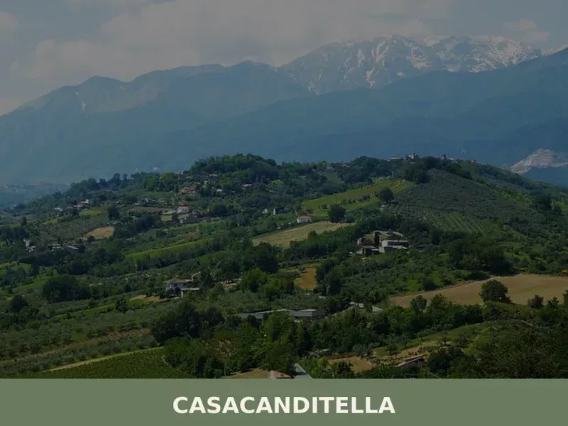
Casacanditella
At 432 metres above sea level, on the eastern slope of the Majella descending towards the Foro river valley, Casacanditella has 1,169 inhabitants and a municipal territory that extends entirely across hilly terrain in the province of Chieti. Anyone wondering what to see in Casacanditella will find a compact urban centre, a church dedicated to […]
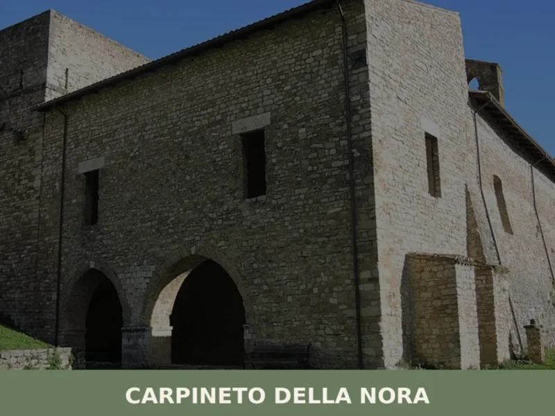
Carpineto della Nora
At 535 metres above sea level, on the ridge separating the Nora valley from the Pescara plain, Carpineto della Nora has a current population of 536 — a number that has halved since post-war censuses. Anyone looking into what to see in Carpineto della Nora will find a settlement built entirely from local stone, spread […]
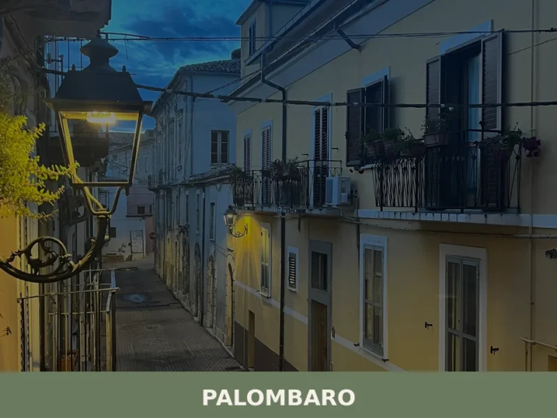
Palombaro
What to see in Palombaro: 5 attractions in this village at 536 m above sea level in the province of Chieti. Discover the historic centre, the medieval tower and the Madonna della Libera festival.
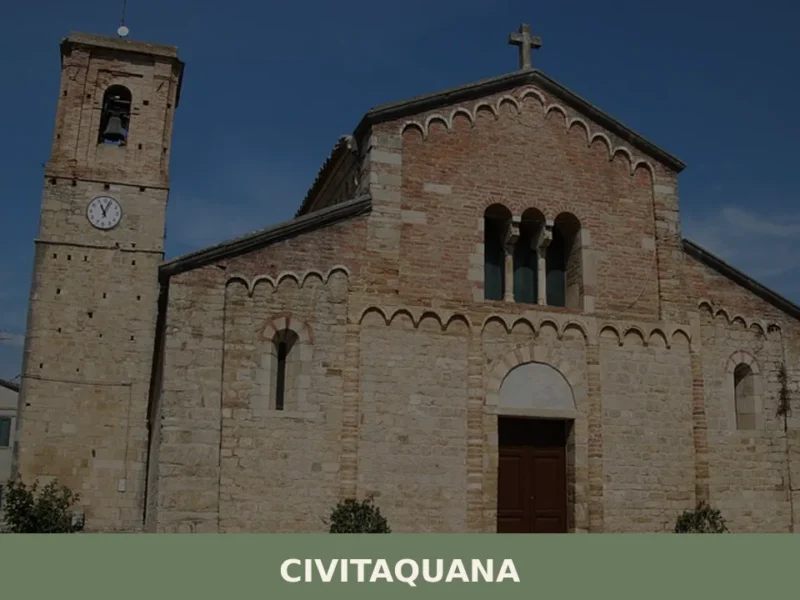
Civitaquana
At 550 metres above sea level, on the eastern slope of the Gran Sasso descending towards the Pescara hills, Civitaquana is home to 1,146 inhabitants spread between the historic centre and the surrounding hamlets. The village’s very name — documented in medieval sources as Civitas Aquanae — reveals an origin linked to the presence of […]
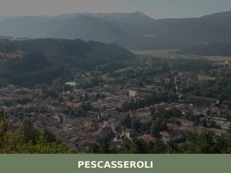
Pescasseroli
What to see in Pescasseroli: from the Abruzzo National Park to Croce's birthplace, UNESCO beech forests, mountain cuisine and practical information for visiting the village.
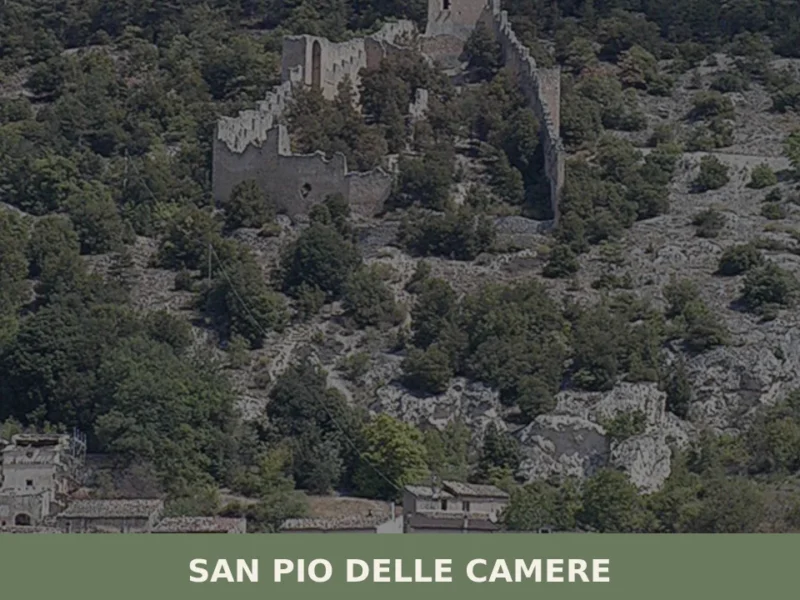
San Pio delle Camere
What to see in San Pio delle Camere, Abruzzo, Italy: explore 5 top attractions including a medieval castle and Peltuinum ruins. Discover this L'Aquila village.
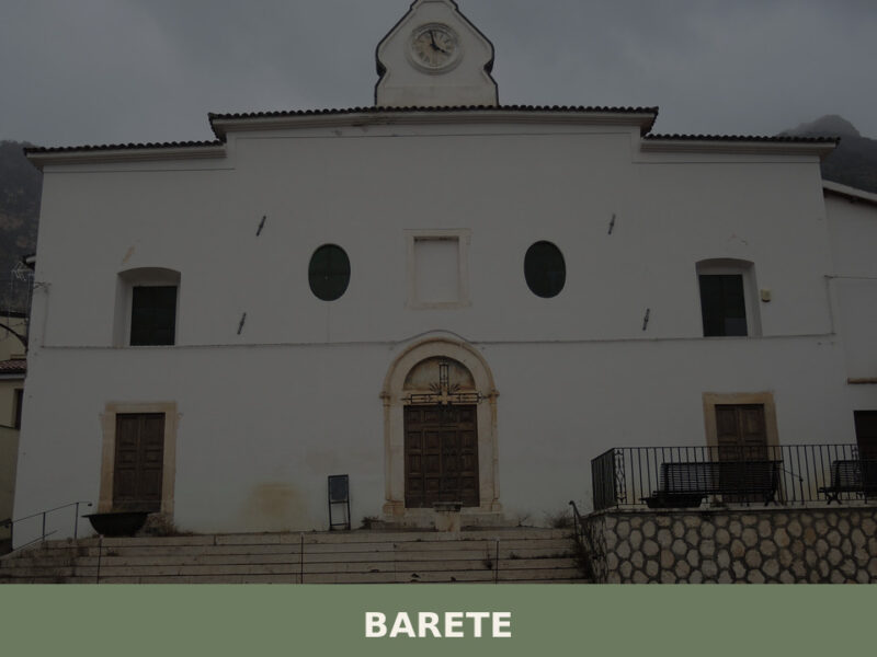
Barete
Morning light hits the limestone walls of Barete’s older houses at a low angle, turning them briefly gold before the shadow of the Gran Sasso massif reclaims the narrow lanes. A rooster calls from somewhere behind a garden wall. The air smells of woodsmoke and cold stone. This is a settlement of roughly 695 inhabitants, […]
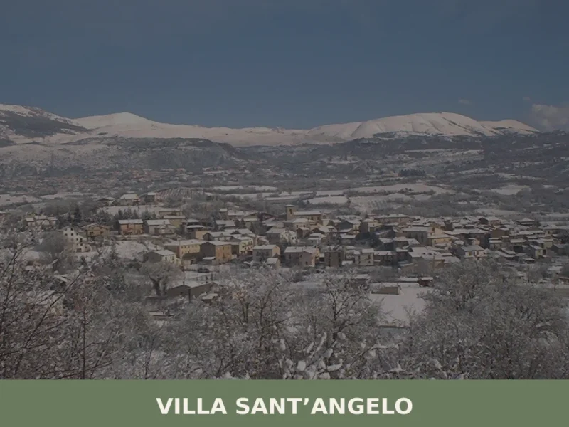
Villa Sant’Angelo
What to see in Villa Santu2019Angelo? Discover 5 must-see attractions and the history of the ancient village. Plan your guided visit now!
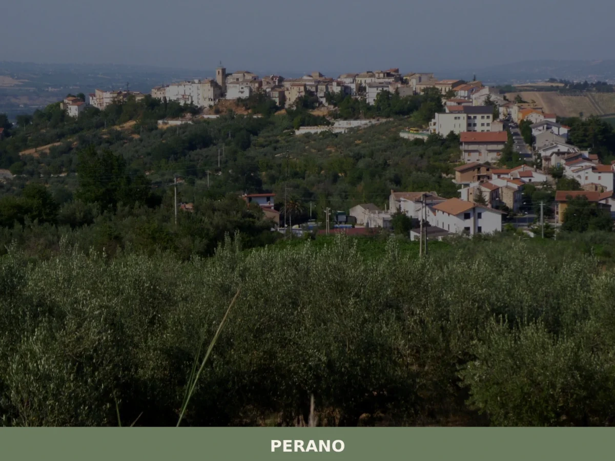
Perano
What to see in Perano? Discover the complete guide to the 3 unmissable attractions of this Abruzzo village. Plan your visit now!
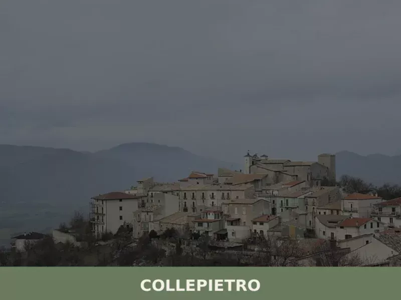
Collepietro
Collepietro has 226 inhabitants and sits at 849 metres above sea level on the eastern slope of the Gran Sasso, in the province of L’Aquila. The municipal territory extends along a ridge overlooking the Piana di Navelli, an area known for saffron cultivation. Those wondering what to see in Collepietro will find a compact settlement […]


🏡 Know Pennapiedimonte better than we do?
If you’re a local or have been there, your knowledge matters: add what’s missing or fix a detail on this page.