


Camino al Tagliamento
A guide to Camino al Tagliamento in Friuli Venezia Giulia — its medieval parish church, the Tagliamento riverbed, rural hamlets, and Friulian food traditions.
Discover Camino al Tagliamento
Morning light falls flat across the plain, catching the gravel banks of the Tagliamento River in a white glare. Along Via Roma, the shutters of low-slung houses are still half-closed, and the air carries the faint mineral scent of river water mixed with damp soil. Camino al Tagliamento is a settlement of 1,544 people spread across the lowlands of Udine province, standing just 34 metres above sea level on ground shaped entirely by the river it is named for. Knowing what to see in Camino al Tagliamento means understanding a landscape where water, stone, and centuries of rural life intersect.
History of Camino al Tagliamento
The name itself is a map reference: “Camino” derives from the Latin camminus, meaning path or road, pointing to the settlement’s origins as a waypoint along routes that followed or crossed the Tagliamento — the last great unregulated river in the Alps. The village’s identity has always been defined by proximity to this braided watercourse, which simultaneously provided fertile alluvial soil for agriculture and posed a constant threat of flooding. Archaeological evidence and parish records suggest continuous habitation in the area since at least the early medieval period.
During the Middle Ages, the territory fell under the jurisdiction of the Patriarchate of Aquileia, the powerful ecclesiastical state that governed much of Friuli for centuries. The church at Pieve di Rosa, one of the municipality’s oldest structures, reflects this era — its role as a pieve, or baptismal parish, indicates it served as a spiritual and administrative centre for the surrounding hamlets. The village later passed under Venetian rule following the dissolution of the Patriarchate in 1420, and its agricultural character deepened as the Republic of Venice developed the Friulian plain for grain and livestock production.
The 20th century brought harsh disruption. The Tagliamento served as a defensive line during both World Wars, and the surrounding area saw troop movements, bombardments, and the displacement of civilian populations. Post-war reconstruction was slow, and like many small Friulian communities, Camino al Tagliamento experienced significant emigration in the decades that followed. Today, the village retains the quiet, self-contained character of a working agricultural settlement — not a preserved museum piece, but a place where life continues at a pace set by seasons and soil.
What to see in Camino al Tagliamento: 5 must-visit attractions
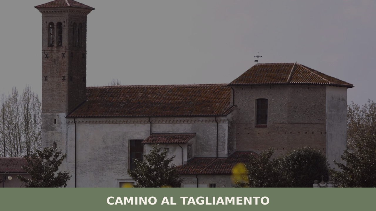
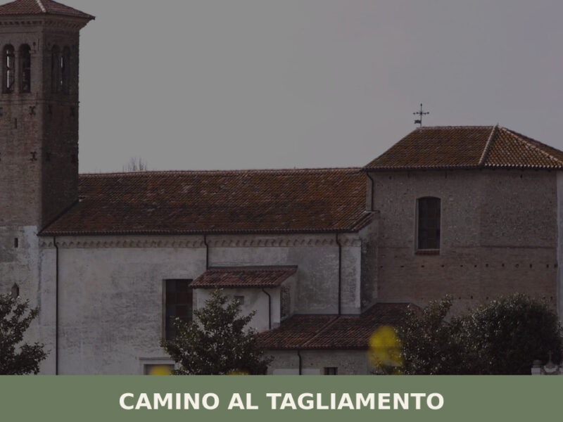
1. Pieve di Rosa — Church of Santa Maria
The parish church of Santa Maria at Pieve di Rosa is the municipality’s most significant historical building. Its status as a pieve — a baptismal church with authority over surrounding chapels — dates its origins to the early medieval period when such institutions served as cornerstones of rural ecclesiastical organisation under the Patriarchate of Aquileia. The stone façade and modest proportions reflect Friulian plainland architecture: practical, unadorned, built to endure.
2. The Tagliamento Riverbed
Europe’s last major unregulated Alpine river runs directly alongside the municipality, its braided channels shifting across a gravel bed that can stretch over a kilometre wide. The Tagliamento is studied by geomorphologists worldwide as a reference ecosystem. Walking its banks offers a lesson in how rivers once shaped entire landscapes before engineering contained them. The shifting gravel islands support rare pioneer vegetation and bird species.
3. Villa Savorgnan (Palazzo Savorgnan)
The Savorgnan family, one of Friuli’s most influential noble dynasties, left architectural traces across the region. Camino al Tagliamento features a villa attributed to this lineage, characteristic of the Venetian-era country estates that dot the Friulian plain — buildings that combined agricultural management with aristocratic residence. The structure reflects the period when Venetian landholding families invested heavily in the fertile lowlands east of the Tagliamento.
4. Rural Hamlets and Borghi
The municipality comprises several small hamlets — frazioni — each with its own character: Pieve di Rosa, Bugnins, Gorizzo, and others. These clusters of stone and plaster houses, arranged around courtyards and narrow lanes, preserve the spatial logic of Friulian rural settlement. Walking between them along flat agricultural roads reveals a landscape of open fields, drainage ditches, and lines of poplars that has changed little in its fundamental structure over centuries.
5. Parish Churches and Rural Chapels
Beyond the pieve, the municipality contains several smaller churches and chapels scattered among its frazioni. These modest buildings, typically featuring simple bell towers and whitewashed interiors, document the layered religious life of a rural Friulian community. Some contain frescoes or altarpieces from the 16th to 18th centuries, modest works that nonetheless offer a window into the devotional world of the Friulian plain during the Venetian period.
Local food and typical products
The cooking of Camino al Tagliamento belongs to the broader tradition of the Friulian lowlands, where polenta — made from white or yellow cornmeal — serves as the foundation of nearly every meal. Frico, the region’s signature dish of melted cheese and potatoes cooked into a crisp pancake, appears on tables throughout the municipality. Cured meats are important here: the province of Udine produces Prosciutto di San Daniele DOP, cured in the town of San Daniele del Friuli roughly 30 kilometres to the north, where specific conditions of Alpine and Adriatic air currents create the microclimate essential for ageing. Montasio cheese, another DOP product, is used fresh and aged across local recipes.
The flat terrain supports extensive viticulture, and the wider Friuli Venezia Giulia region is recognised for white wines of unusual precision — Friulano, Ribolla Gialla, and Pinot Grigio grown in mineral-rich alluvial soils. Local trattorias and agriturismi in and around Camino al Tagliamento typically offer seasonal menus: spring brings wild asparagus and herbs; autumn means mushrooms, game, and the dense bean soups (jota, minestra di fagioli) that define Friulian cold-weather eating. Portions are generous, prices are moderate, and the atmosphere is rarely formal — meals here are functional, social, and rooted in what the land produces.
Best time to visit Camino al Tagliamento
The Friulian plain experiences a continental climate with warm, humid summers and cold, often foggy winters. Spring — April through early June — is arguably the best time to visit Camino al Tagliamento: the fields are green, the Tagliamento carries its snowmelt in wide, bright channels, and temperatures are comfortable for walking and cycling. Autumn, particularly October, offers clear skies, harvest activity, and the deep ochre tones of turning poplars along irrigation channels.
Summer can be oppressively hot and humid on the plain, with temperatures regularly exceeding 30°C and thunderstorms arriving with little warning. Winter brings fog that can persist for days, reducing visibility and lending the landscape a muted, introspective quality — atmospheric, certainly, but not conducive to sightseeing. Local festivals and sagre (food fairs) typically cluster in the warmer months and offer the best opportunity to experience community life directly. Checking the Friuli Venezia Giulia tourism board for event calendars before travelling is advisable.
How to get to Camino al Tagliamento
Camino al Tagliamento sits along the SS463 road in the central-western part of Udine province. The A28 motorway passes to the south, connecting Portogruaro with Pordenone, and provides the most direct approach by car from the Venetian coast or from the A4 motorway linking Venice and Trieste. From Udine city centre, the drive is approximately 45 kilometres southwest, taking roughly 40 minutes.
- By car: From Venice Marco Polo Airport, approximately 100 km via the A4 and A28 motorways (about 1 hour 15 minutes). From Trieste, approximately 130 km via the A4 (about 1 hour 30 minutes).
- By train: The nearest railway stations are Codroipo (approximately 10 km) and Casarsa della Delizia (approximately 8 km), both served by regional trains on the Udine–Venice and Udine–Pordenone lines. From either station, a local bus or taxi is needed to reach the village.
- Nearest airports: Trieste–Friuli Venezia Giulia Airport (Ronchi dei Legionari), approximately 80 km east; Venice Marco Polo Airport, approximately 100 km southwest. Both offer car rental facilities.
A car is strongly recommended. Public transport connections to rural municipalities in this part of Friuli are infrequent, particularly on weekends and during school holidays.
More villages to discover in Friuli Venezia Giulia
Friuli Venezia Giulia is a region of sharp contrasts compressed into a small area — from the Adriatic lagoons to the Julian Alps in under two hours. The villages that occupy its mountains and valleys preserve traditions, architectures, and ecological environments quite different from the plain where Camino al Tagliamento sits. Exploring even a few of them begins to reveal the range of what this overlooked northeastern corner of Italy contains.
To the north, in the foothills where the plain meets the Carnic prealps, Bordano has earned a reputation as the “village of butterflies,” thanks to a conservation initiative that transformed its walls into open-air murals and established a butterfly house drawing naturalists from across Europe. Further into the hills, Attimis offers a different register entirely: a medieval settlement defined by the ruins of two hilltop castles and a landscape of forested valleys that feels centuries removed from the flat, open farmland around the Tagliamento. Together, these villages sketch the outline of a region worth exploring slowly, on back roads, with no fixed itinerary.
Frequently asked questions about Camino al Tagliamento
What is the best time to visit Camino al Tagliamento?
Spring (April to early June) is the ideal time to visit Camino al Tagliamento: mild temperatures, green fields, and the Tagliamento River running full with snowmelt make for excellent walking and cycling conditions. October is also rewarding, with harvest activity and golden poplar foliage along the irrigation channels. Visitors planning around local tradition should note that the village celebrates its patron saint, San Valentino, on 14 February — a winter visit that coincides with foggy, atmospheric conditions on the plain. Summer is hot and humid; winter fog can be persistent.
What are the historical origins of Camino al Tagliamento?
The village name derives from the Latin camminus, meaning path or road, reflecting its origins as a waypoint along routes crossing the Tagliamento River. Parish records and archaeological evidence indicate continuous habitation since at least the early medieval period. The territory fell under the Patriarchate of Aquileia during the Middle Ages, then passed to the Republic of Venice in 1420. The Tagliamento served as a defensive line in both World Wars, causing significant disruption. Post-war emigration reduced the population, and the village today retains the character of a working agricultural settlement.
What to see in Camino al Tagliamento? Main monuments and landmarks
The municipality's principal historic site is the Pieve di Rosa, a church of Santa Maria whose origins as a baptismal parish date to the early medieval period under the Patriarchate of Aquileia. Villa Savorgnan (Palazzo Savorgnan), attributed to one of Friuli's most prominent noble families, reflects the Venetian-era aristocratic presence on the plain. Scattered among the frazioni of Pieve di Rosa, Bugnins, and Gorizzo are rural chapels and parish churches, some containing 16th–18th century frescoes and altarpieces. No ticket or reservation is generally required for exterior visits.
What are the main natural or scenic attractions of Camino al Tagliamento?
The Tagliamento River is the dominant natural attraction. Considered Europe's last major unregulated Alpine river, its braided gravel channels can span over a kilometre wide and shift seasonally. The riverbed supports rare pioneer vegetation and bird species, and is studied internationally as a reference geomorphological ecosystem. Walking the banks from within the municipality provides direct access to this landscape. The flat agricultural terrain surrounding the village, crossed by drainage ditches and lined with poplars, offers additional quiet scenery suited to cycling along rural roads.
Where to take the best photos in Camino al Tagliamento?
The Tagliamento riverbed offers the most distinctive photographic opportunities: wide gravel bars, braided channels, and shifting gravel islands create an open, almost Arctic-like landscape rarely found in lowland Italy. Early morning light on the river produces the strongest visual contrast. The rural roads connecting the frazioni of Pieve di Rosa, Bugnins, and Gorizzo — flanked by poplars and drainage channels — are photogenic in both spring green and autumn gold. The stone façade of the Pieve di Rosa church provides a compact architectural subject against an uncluttered plainland backdrop.
Are there museums, churches or historic buildings to visit in Camino al Tagliamento?
The Pieve di Rosa church of Santa Maria is the most historically significant building in the municipality, with early medieval origins as a baptismal parish under the Patriarchate of Aquileia. Villa Savorgnan reflects Venetian-era noble architecture typical of the Friulian plain. Smaller parish churches and rural chapels distributed across the frazioni contain frescoes and altarpieces dating from the 16th to 18th centuries. Specific opening hours are not centrally published; visiting during morning hours or contacting the local parish directly is advisable for interior access.
What can you do in Camino al Tagliamento? Activities and experiences
Cycling and walking are the most practical activities, with flat agricultural roads connecting the municipality's hamlets and reaching the Tagliamento riverbank. The river itself is accessible for walks along its gravel bars. The surrounding Friulian plain is suitable for birdwatching, particularly along the river corridor. Food and wine experiences are available at local trattorias and agriturismi, where seasonal menus follow the agricultural calendar. Community sagre (food fairs) typically take place in the warmer months; checking the Friuli Venezia Giulia regional tourism board for current event listings before visiting is recommended.
Who is Camino al Tagliamento suitable for? Families, couples, hikers, solo travelers?
Camino al Tagliamento suits visitors who prefer quiet, unhurried rural Italy over tourist infrastructure. Couples and solo travellers interested in landscape, local food, and authentic small-village life will find it rewarding. Cyclists will appreciate the flat terrain and low traffic on roads connecting the frazioni and reaching the Tagliamento. Nature enthusiasts — particularly birdwatchers and anyone interested in river geomorphology — will find the Tagliamento riverbed genuinely exceptional. Families with young children should note that facilities are limited; this is a working village, not a resort destination.
What to eat in Camino al Tagliamento? Local products and specialties
The local table draws on the broader Friulian lowland tradition. Polenta — white or yellow cornmeal — is the staple base. Frico, a crisp pancake of melted Montasio cheese and potatoes, is the region's signature dish. Prosciutto di San Daniele DOP, cured roughly 30 kilometres to the north in San Daniele del Friuli, is the area's most celebrated cured meat. Montasio DOP cheese appears fresh and aged across local recipes. Autumn menus feature mushrooms, game, and dense bean soups such as jota. Local trattorias and agriturismi serve seasonal produce at moderate prices.
Nearby Villages near Camino al Tagliamento
In Friuli-Venezia Giulia More villages to discover
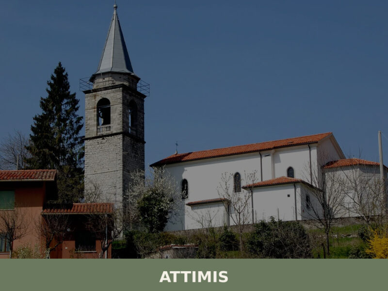
Attimis
Twin castle ruins, a medieval archaeological museum, and the secluded mountain hamlet of Porzûs — Attimis reveals Friuli's layered history in a quiet valley near Udine.
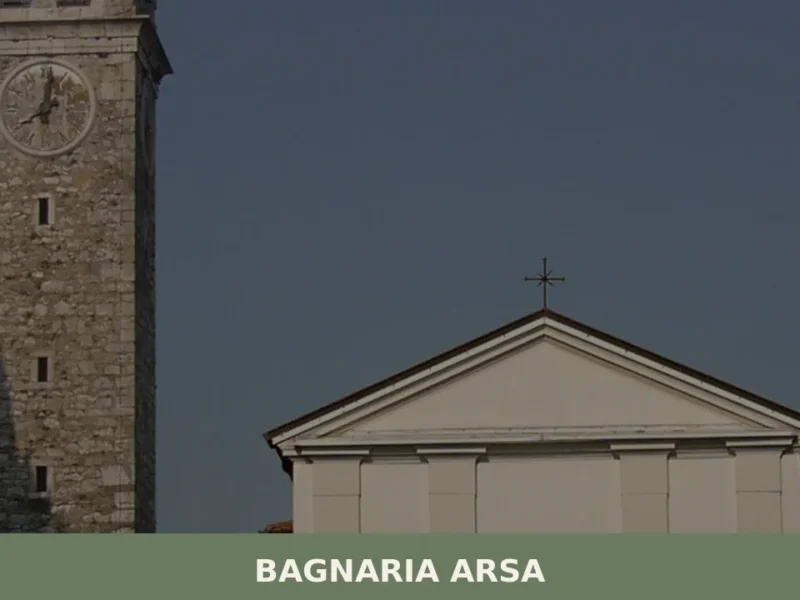
Bagnaria Arsa
In 1420, when the Venetian Republic extended its dominion over Friuli, the territory of Bagnaria Arsa came firmly into the Venetian orbit: the Republic’s cadastral records document a rural settlement structured around two distinct centres — Bagnaria and Sevegliano — separated by fields planted with cereals and crossed by drainage channels. Today, anyone wondering what […]
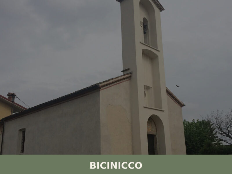
Bicinicco
A commune of 1,801 inhabitants on the Friulian plain south of Udine. Discover the churches, hamlets, and agricultural landscape of Bicinicco.

Caneva
What to see in Caneva, Italy: explore a 42 km² comune near Pordenone. Discover top attractions, local food and travel tips. Read the complete guide.
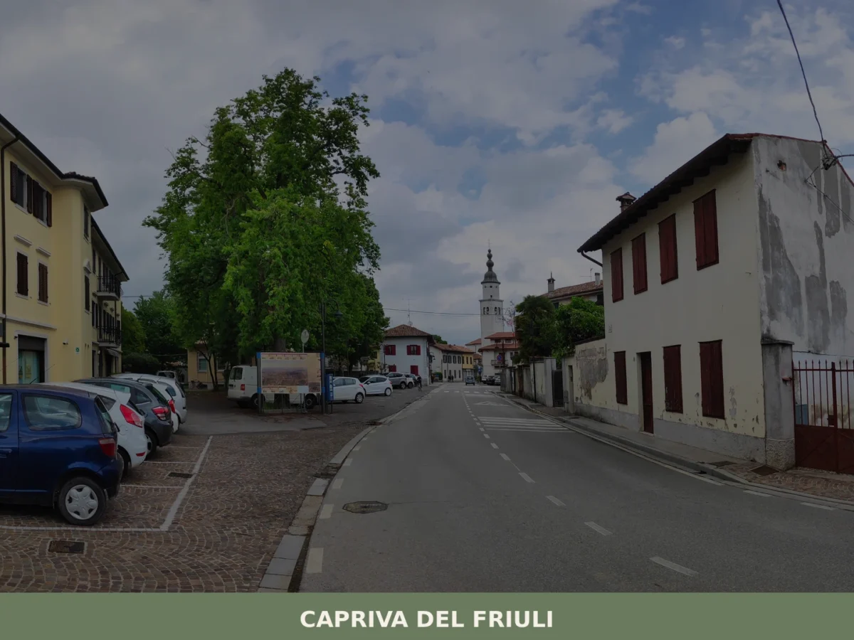
Capriva del Friuli
What to see in Capriva del Friuli: 5 must-visit attractions including wineries, historic villas and the Collio hills. Discover the complete guide to plan your visit.
Andreis
What to see in Andreis, a village of 242 residents in the Friulian Dolomites Park: attractions, local food, how to get there and when to visit.
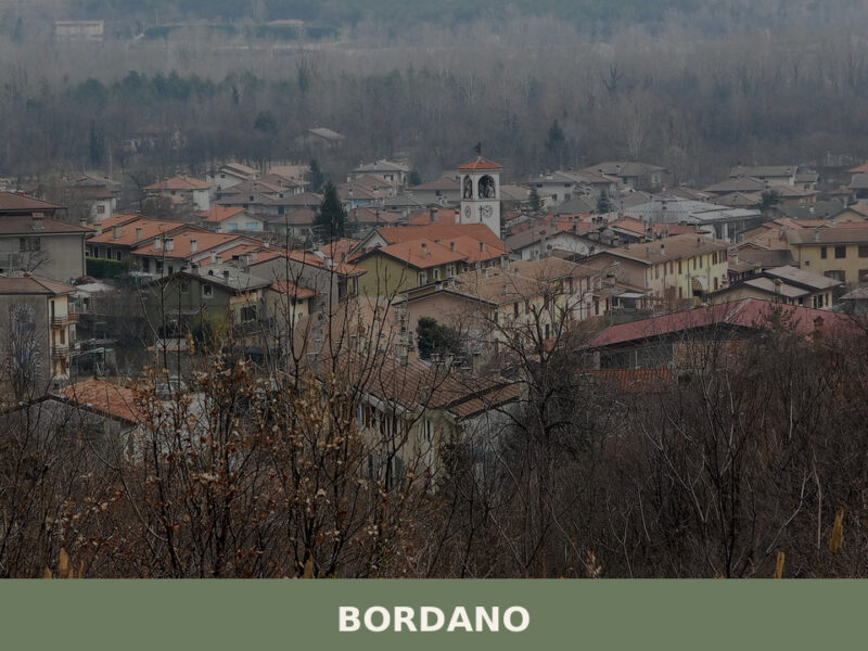
Bordano
Bordano, the Village of Butterflies in Friuli Venezia Giulia, pairs over 100 painted murals with genuine alpine biodiversity. A guide to its trails, lake, food, and art.
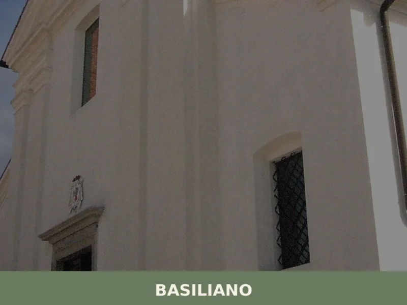
Basiliano
In 1309, a notarial deed drawn up in Udine recorded the transfer of certain feudal rights relating to the territory of Basiliano, confirming the existence of a settlement already organised along the route connecting Udine to Codroipo. Today that route partly coincides with regional road 464, and anyone travelling along it crosses a plain where […]
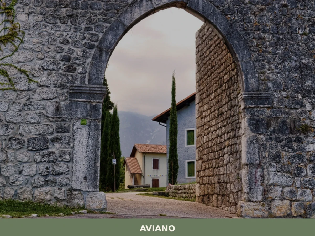
Aviano
What to see in Aviano, Italy: Explore this town of 8,948 inhabitants, from its 10th-century castle ruins to the Cathedral of San Zenone. Discover its rich history and natural beauty.
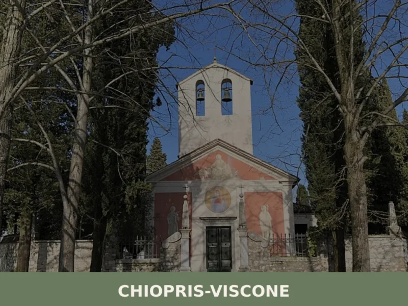
Chiopris-Viscone
Two hamlets, two bell towers, two patron saints — and a single road running through both, the provincial route from Palmanova towards the Slovenian border. Anyone arriving in Chiopris-Viscone for the first time immediately notices this duality: the municipality, created in 1928 through the administrative merger of two distinct settlements, still retains a twin-centre layout, […]


🏡 Know Camino al Tagliamento better than we do?
If you’re a local or have been there, your knowledge matters: add what’s missing or fix a detail on this page.