


Bertiolo
The earliest documented mention of the name Bertiolo dates back to 1219, in a notarial deed linked to the properties of the Patriarchate of Aquileia. Arriving today along the road that leads south from Codroipo, visitors encounter a compact urban centre laid out along a grid of orderly streets, surrounded by fields of maize and […]
Discover Bertiolo
The earliest documented mention of the name Bertiolo dates back to 1219, in a notarial deed linked to the properties of the Patriarchate of Aquileia. Arriving today along the road that leads south from Codroipo, visitors encounter a compact urban centre laid out along a grid of orderly streets, surrounded by fields of maize and soya that stretch to the flat line of the horizon. There is no hill or slope here: we are at 33 metres above sea level, in the heart of the lower Friulian plain of Udine province, where the water of the irrigation channels — the rogge — marks the boundaries between properties and the agricultural landscape remains the primary element of local identity. For anyone wondering what to see in Bertiolo, the answer begins precisely with this relationship between land and human settlement — a bond forged over eight centuries of land reclamation, agricultural labour and community life.
History and origins of Bertiolo
The etymology of the place name Bertiolo is debated among scholars. The most widely accepted hypothesis traces it to a Germanic personal name, probably Bertilo or Bertulus, combined with the Latin diminutive suffix -iolum, indicating a small estate founded by a landowner of Lombard or Frankish origin. This derivation is consistent with the history of the wider Friulian area, shaped by Lombard rule from 568 AD and subsequently by Frankish influence after Charlemagne’s conquest in 776. The territory on which the village stands fell within the vast jurisdiction of the Patriarchate of Aquileia, the ecclesiastical and temporal institution that governed much of Friuli for over seven centuries. Medieval documents place Bertiolo among the rural communities subject to the gastaldia of Codroipo, an administrative centre that served as a hub for controlling the plain between the Tagliamento and Stella rivers.
During the thirteenth and fourteenth centuries, Bertiolo was caught up in the feudal disputes that fragmented patriarchal power. The area saw troop movements and requisitions during the wars between the Patriarchate and local lords, particularly the Counts of Gorizia and the da Camino family. With the fall of the Patriarchate and the submission of Friuli to the Republic of Venice in 1420, the territory of Bertiolo became part of the Serenissima’s domains. For nearly four centuries, until 1797, the community lived under Venetian administration, a period during which the local economy consolidated around cereal cultivation and livestock farming, supported by the network of irrigation channels that the peasants maintained with constant care. The Patria del Friuli, as the region was designated in the Venetian era, granted these small rural communities a degree of administrative autonomy through the vicinia assemblies, where heads of household deliberated on matters of collective interest — from road maintenance to the management of common lands.
The nineteenth century brought radical transformations. After the Napoleonic interlude and the transition to Habsburg rule in 1815, Bertiolo was incorporated into the administrative system of the Austro-Hungarian Empire until 1866, when western Friuli and the Veneto were annexed to the Kingdom of Italy. The population, which by the 1871 census already exceeded one thousand inhabitants, consisted almost entirely of farming families. Emigration to Central Europe and the Americas deeply marked the community between the late nineteenth century and the first half of the twentieth. The Friuli earthquake of 6 May 1976, though its epicentre lay in the foothills, also caused damage in the lower plain: Bertiolo suffered structural harm to several buildings, but reconstruction was swift and orderly, in keeping with the cooperative spirit that distinguished the entire region during that period. Today the municipality has 2,565 inhabitants and retains a socioeconomic structure still connected to agriculture, though with growing diversification towards the service sector and small-scale artisan enterprise.
What to see in Bertiolo: 5 key attractions
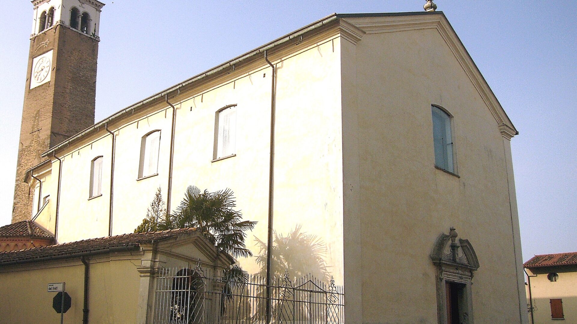
1. Parish Church of San Martino Vescovo
Dedicated to the patron saint Martin of Tours, the parish church is the focal point of the village’s religious and community life. The current building, the result of nineteenth-century renovations to an earlier structure, stands in the central part of the settlement and features a single nave with decorated side altars. Inside, it preserves eighteenth-century sacred furnishings and a restored organ. The neoclassical façade, simple and linear, reflects the architectural taste widespread in the lower Friulian plain during the nineteenth century. The bell tower, visible from several kilometres across the surrounding plain, serves as the vertical reference point of the entire municipal landscape. The church is normally open during liturgical celebrations and on feast days.
2. Villa Colloredo-Mels
Among the civic buildings in the municipal territory, the villa linked to the Colloredo-Mels family deserves attention. This Friulian noble family, whose main branch resided in the castle of Colloredo di Monte Albano, owned lands and residences at various points across the plain. The building in Bertiolo, with its rectangular plan and the sober lines typical of the Veneto-Friulian rural villa tradition, documents the aristocratic presence in the area. Its modest dimensions compared to the great Palladian villas of the Veneto reflect the functional character of these residences, conceived as management centres for agricultural estates. The property is privately owned and can be observed from the outside while walking through the streets of the centre.
3. Irrigation channels and the hydraulic system of the lower plain
Anyone looking for what to see in Bertiolo cannot overlook the element that has — quite literally — shaped the landscape: water. The network of rogge crossing the municipal territory forms part of the broader irrigation system of the lower Friulian plain, fed by resurgent springs and historically managed by land reclamation consortia. Along these channels, lined with rows of willows and alders, visitors can follow unpaved paths suitable for walking or cycling. In spring and summer, the riparian vegetation creates green corridors that host grey herons, kingfishers and other species associated with wetland environments. These routes offer a different perspective on the territory, away from the asphalt roads and closer to the original structure of the agricultural landscape.
4. Commemorative monuments and collective memory
Like many Friulian municipalities, Bertiolo preserves monuments dedicated to those who fell in the two World Wars. The main memorial, situated near the civic centre, bears the names of soldiers from the municipality who died during the First and Second World Wars. For a community of just a few thousand inhabitants, the list is long and conveys the devastating impact of the wars on the male population of the plain. The Great War struck Friuli with particular violence after the rout of Caporetto in October 1917, when the entire region was occupied by Austro-Hungarian forces for a year. These places of remembrance, despite their formal simplicity, remain important points of reflection for those visiting the village.
5. Agricultural landscape and open countryside
The fifth element to include in any itinerary through Bertiolo is the landscape itself. The plain surrounding the inhabited centre is not an empty space but a complex system of cultivated plots, tree lines, ditches and scattered small rural clusters — the so-called braide and cortine, Friulian terms referring respectively to enclosed fields and farmyard courtyards. In autumn, after the maize harvest, the ploughed fields reveal the dark, clayey soil of the lower plain. In spring, the uniform green of emerging crops creates a continuous surface broken only by the dark lines of the channels. To appreciate this landscape, it is enough to cycle along the secondary municipal roads that connect Bertiolo to its hamlets and neighbouring municipalities.
Traditional cuisine and local products
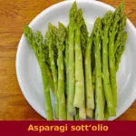
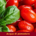
The table in Bertiolo reflects the tradition of the lower Friulian plain — a peasant cuisine built on simple ingredients and slow preparation. The most representative dish of the entire region is frico, made with Montasio DOP cheese — one of the most important dairy products of Friuli Venezia Giulia — sliced thinly or grated, then cooked slowly in a pan until it forms a golden, crispy crust. In the “soft” version, the cheese is mixed with potatoes and onion. Alongside frico, brovada, recognised as a Traditional Agri-Food Product (PAT), is a winter side dish made from turnips macerated in grape pomace: the result is a dish with a sharp, penetrating flavour, often served with muset, the Friulian spiced pork sausage seasoned with cinnamon, cloves and pepper. Muset, also listed among the PAT products of Friuli Venezia Giulia, differs from its Emilian counterpart in its finer texture and more aromatic spicing.
Among the first courses, cjarsons — ravioli from the Carnic tradition, though found in local variants across the plain as well — are filled with a stuffing that blends sweet and savoury ingredients: smoked ricotta, wild herbs, raisins, chocolate and cinnamon, dressed with melted butter and grated smoked ricotta. Polenta, naturally, remains the foundation of the traditional diet: prepared with stone-ground maize flour, it is served soft alongside stews, mushrooms or cheeses, or grilled the following day. Maize, which dominates the agricultural landscape around Bertiolo, is also the basis of polenta e formadi, a dish that is domestic in its simplicity. As for wines, the area falls within the Friuli Grave DOC denomination, which produces whites from Friulano (formerly Tocai), Pinot Grigio and Sauvignon, and reds from Merlot, Cabernet Franc and Refosco dal Peduncolo Rosso.
Opportunities to taste these dishes often coincide with the local village festivals, which enliven Bertiolo and the surrounding municipalities from late spring through autumn. The patron saint’s feast of San Martino, on 11 November, is traditionally associated with tasting the new wine and seasonal dishes based on chestnuts and grape must. The local pro loco associations organise food events where visitors can try frico, polenta with game, and desserts such as gubana — a roll of leavened dough filled with walnuts, raisins, pine nuts, grappa and lemon zest. For up-to-date information on restaurants and agriturismi, it is worth consulting the official website of the Municipality of Bertiolo.
When to visit Bertiolo: the best time of year
The climate of the lower Friulian plain is subcontinental: cold winters with persistent fog possible between December and February, and hot, humid summers with temperatures regularly exceeding 30 degrees between July and August. The most comfortable months for a visit are April, May, September and October, when temperatures range between 15 and 25 degrees and the light is favourable for appreciating the agricultural landscape. Spring coincides with the growing phase of the fields, which turn into uniform green surfaces, while autumn brings the warm colours of the riparian vegetation along the irrigation channels and the atmosphere of harvest-related celebrations.
The most significant date in the local calendar is 11 November, the feast day of Saint Martin of Tours, patron of the municipality. Throughout the Friulian and Venetian tradition, San Martino symbolically marks the end of the agricultural year: it was the day when sharecropping contracts were renewed and peasant families, if their contract was not extended, moved to new farms — the so-called “fare San Martino”. Today the occasion is celebrated with religious services and convivial gatherings. For up-to-date information on the calendar of events, visitors can refer to the Wikipedia page for the municipality and the institutional website. Those visiting the area during the Christmas period will find traditional nativity scenes displayed in churches and rural courtyards, following a custom widespread across Friuli.
How to reach Bertiolo
Bertiolo lies along the road connecting Codroipo to Palmanova, in the central part of Udine province. By car, the main reference is the A4 Venice–Trieste motorway: the recommended exit is Latisana or Palmanova, from which you continue along ordinary roads for approximately 15–20 kilometres heading north. Alternatively, from the A23 Udine–Tarvisio motorway, you can exit at Udine Sud and head west along the regional road 353, passing through Codroipo. From Udine, the distance is approximately 25 kilometres, covered in about 30 minutes.
The nearest railway station with regular service is Codroipo, on the Venice–Udine line, located approximately 7 kilometres from the centre of Bertiolo. From Codroipo, it is necessary to continue by private vehicle or local bus. The reference airport is Trieste Airport (Ronchi dei Legionari), approximately 55 kilometres away and reachable in 45 minutes by car. Venice Marco Polo Airport is approximately 120 kilometres away, while Treviso-Canova Airport is approximately 110 kilometres distant. For those coming from neighbouring Slovenia or Austria, Bertiolo is accessible via the A23 motorway descending from Tarvisio towards Udine. Information on local road conditions is available on the Touring Club Italiano website.
Other villages to discover in Friuli Venezia Giulia
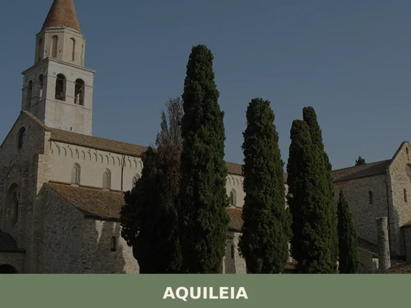
Those who spend time in Bertiolo and its surrounding plain can build a wider itinerary that includes Friulian villages differing in altitude and character, capable of revealing the geographic variety of the region. Heading north along the Tagliamento valley, Ampezzo lies in Carnia, at over 500 metres above sea level, in a mountain setting where the stone and timber architecture reflects an Alpine building tradition radically different from that of the plain. The combination of the lower Friulian plain at Bertiolo and the Carnic mountains at Ampezzo allows travellers to cross, in less than an hour’s drive, landscapes that change sharply — from maize fields to fir forests, from irrigation channels to mountain torrents.
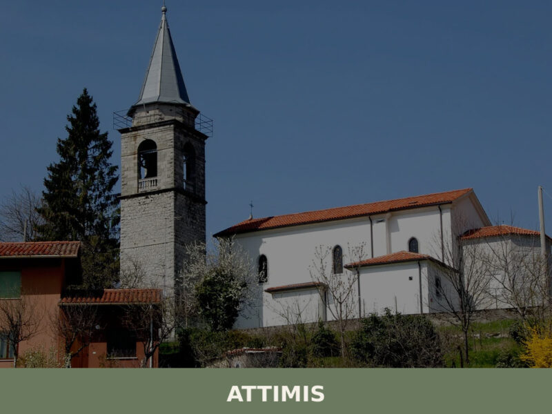
Moving eastward instead, into the hilly belt of Udine province, Attimis offers yet another perspective: the remains of the upper and lower castles, set on the morainic hills, tell the story of the feudal families who controlled the eastern valleys of Friuli in the Middle Ages. The distance between Bertiolo and Attimis is approximately 40 kilometres, a route that crosses the resurgent spring belt and gradually climbs towards the first hills. An itinerary linking these three villages — plain, hills and mountains — can be covered in two or three days, giving visitors the chance to appreciate the geological, historical and cultural layering of a region that condenses remarkable diversity into a compact area. It is a trip best undertaken at a slow pace, stopping at trattorias along the way and paying attention to the details of the changing landscape.
Frequently asked questions about Bertiolo
What is the best time to visit Bertiolo?
Spring (April–May) and early autumn (September–October) are the most rewarding seasons: the fields are either lush green or freshly harvested, the light on the flat plain is clear, and temperatures are mild for cycling and walking along the rogge. The highlight of the local calendar is the feast of San Martino di Tours on 11 November, when the village celebrates its patron saint with religious ceremonies and community gatherings — a tradition rooted in centuries of local life and an authentic opportunity to experience Bertiolo beyond the tourist circuit.
What are the historical origins of Bertiolo?
Bertiolo is first documented in 1219 in a notarial deed connected to the Patriarchate of Aquileia. The place name most likely derives from a Germanic personal name — Bertilo or Bertulus — combined with the Latin suffix -iolum, pointing to a small estate of Lombard or Frankish origin. The territory was later administered as part of the gastaldia of Codroipo. From 1420 it passed under Venetian rule for nearly four centuries, then into the Habsburg Empire in 1815, before joining the Kingdom of Italy in 1866.
What to see in Bertiolo? Main monuments and landmarks
The Parish Church of San Martino Vescovo, with its neoclassical façade, nineteenth-century renovations, eighteenth-century furnishings and a restored organ, is the village's main monument — the bell tower is visible for kilometres across the plain. Villa Colloredo-Mels, a sober Veneto-Friulian rural villa linked to a prominent noble family, can be admired from the outside while walking the village streets. The war memorial near the civic centre, bearing the names of fallen soldiers from both World Wars, is a further point of historical reflection.
What are the main natural or scenic attractions of Bertiolo?
The network of rogge — historic irrigation channels lined with willows and alders — is Bertiolo's most distinctive natural feature. Unpaved paths alongside these waterways are suitable for walking and cycling and pass through a riparian landscape that hosts grey herons, kingfishers and other wetland species. The surrounding lower Friulian plain, with its alternating cultivated plots, tree lines and scattered rural clusters (braide and cortine), forms a living agricultural landscape that changes visibly with the seasons, from spring's uniform green to autumn's ploughed dark-clay fields.
Where to take the best photos in Bertiolo?
The bell tower of San Martino Vescovo, rising above an otherwise entirely flat horizon, provides the most iconic vertical reference point in the municipal landscape and photographs well from the surrounding fields. The rogge in spring and summer — when riparian vegetation creates green corridors reflected in still water — offer strong compositional subjects. Secondary rural roads connecting Bertiolo to its hamlets give wide, unobstructed views of the plain, ideal for landscape photography in the golden light of early morning or late afternoon.
Are there museums, churches or historic buildings to visit in Bertiolo?
The Parish Church of San Martino Vescovo is open during liturgical celebrations and feast days; it preserves eighteenth-century sacred furnishings and a restored organ inside a neoclassical building. Villa Colloredo-Mels, associated with one of Friuli's historic noble families, is privately owned and viewable only from the exterior. No permanent public museum is currently documented for Bertiolo. The war memorial near the civic centre serves as an accessible open-air site of collective memory, particularly significant given the impact of both World Wars on this small plain community.
What can you do in Bertiolo? Activities and experiences
Cycling is the most natural activity here: the flat terrain and network of secondary municipal roads and unpaved paths along the rogge make Bertiolo easily explorable by bike. Walking routes beside the irrigation channels allow close observation of the riparian landscape and birdlife. The village is also a starting point for broader cycling itineraries across the lower Friulian plain towards Codroipo and neighbouring municipalities. Attending the feast of San Martino on 11 November provides an authentic experience of local religious and community tradition.
Who is Bertiolo suitable for? Families, couples, hikers, solo travelers?
Bertiolo suits slow travellers who value authentic rural landscapes over conventional tourist sights. Cyclists of all levels benefit from perfectly flat terrain and quiet country roads. Birdwatchers and nature lovers will appreciate the rogge corridors and their wetland species. Food enthusiasts can use the village as a base for exploring the culinary traditions of the lower Friulian plain. It is less suited to visitors seeking mountain hiking, coastal activities or a dense programme of museums and monuments. Families with young children will find the flat cycling paths accessible and safe.
What to eat in Bertiolo? Local products and specialties
Bertiolo sits in the heart of a food tradition built on peasant simplicity. Frico — crispy or soft, made with Montasio DOP cheese — is the emblematic dish of the Friulian plain. Brovada (PAT), turnips macerated in grape pomace, is a sharp winter side dish classically paired with muset, the Friulian spiced pork sausage (also PAT), seasoned with cinnamon, cloves and pepper. Cjarsons, ravioli filled with a sweet-savoury mix of smoked ricotta, wild herbs, raisins and chocolate, and stone-ground polenta served with stews or grilled the following day complete the traditional local table.
Nearby Villages near Bertiolo
In Friuli-Venezia Giulia More villages to discover
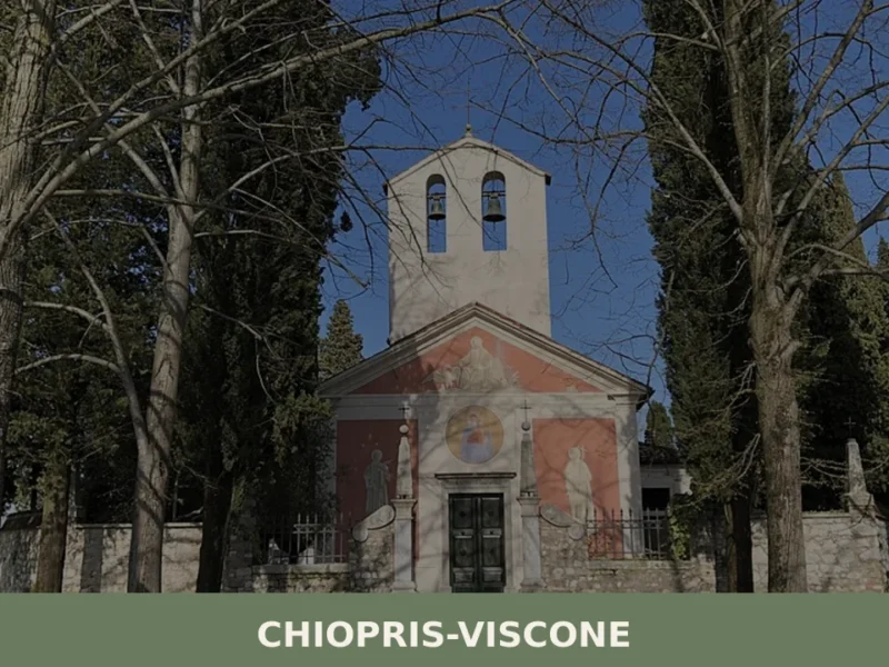
Chiopris-Viscone
Two hamlets, two bell towers, two patron saints — and a single road running through both, the provincial route from Palmanova towards the Slovenian border. Anyone arriving in Chiopris-Viscone for the first time immediately notices this duality: the municipality, created in 1928 through the administrative merger of two distinct settlements, still retains a twin-centre layout, […]
Andreis
What to see in Andreis, a village of 242 residents in the Friulian Dolomites Park: attractions, local food, how to get there and when to visit.
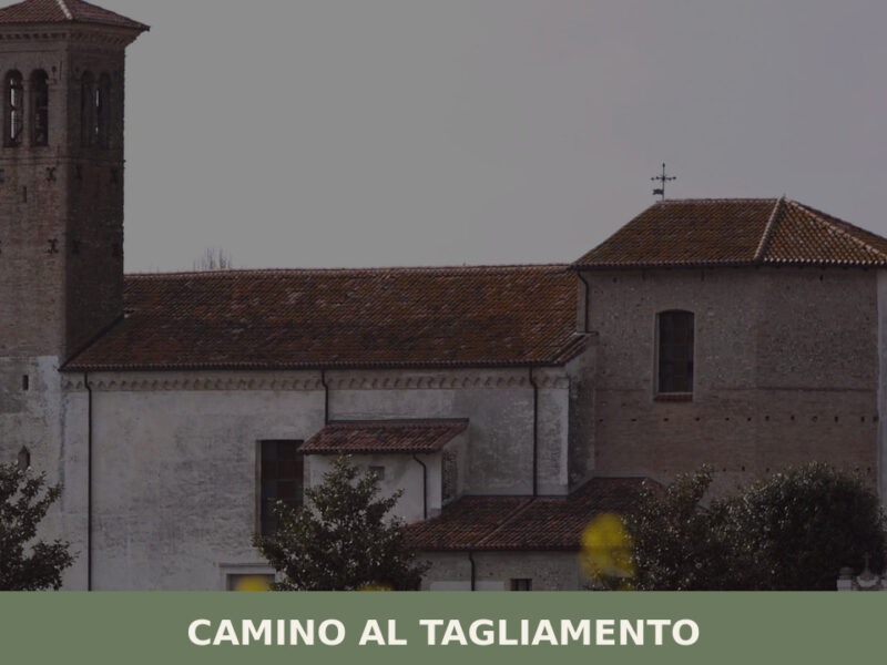
Camino al Tagliamento
A guide to Camino al Tagliamento in Friuli Venezia Giulia — its medieval parish church, the Tagliamento riverbed, rural hamlets, and Friulian food traditions.
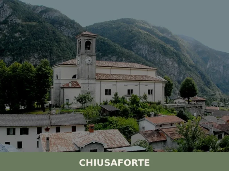
Chiusaforte
Anyone travelling along the A23 motorway towards the Austrian border will notice, quite suddenly, the Fella valley narrowing between sheer rock walls. Right at that point stands Chiusaforte, a settlement of 684 inhabitants at 391 metres above sea level, whose name — from “chiusa forte,” meaning “strong barrier” — declares without ambiguity the military and […]
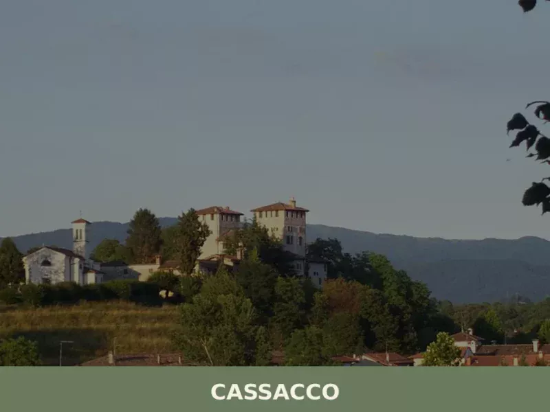
Cassacco
The Castle of Cassacco appears in documents of the Patriarchate of Aquileia as early as 1158, when Patriarch Ulrich II confirmed its possession to the local lords. Since then, that manor in a commanding position over the Friulian plain has shaped the life of an entire rural territory, defined by cultivated fields, rows of vines […]
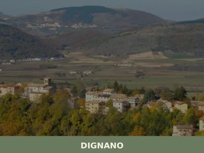
Dignano
In the cadastral register of 1296, the name Dignano appears among the possessions of the Patriarchate of Aquileia, a rural community closely tied to ecclesiastical control and cereal production on the Friulian plain. Today the municipality has approximately 2,380 inhabitants spread across the main centre and several hamlets, in a flat territory northwest of Udine […]
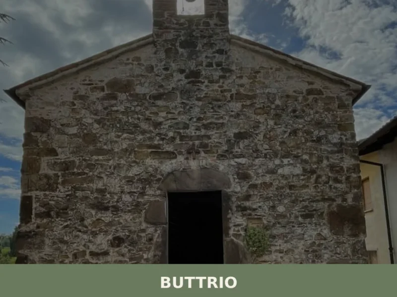
Buttrio
In 1031 a document issued by Emperor Conrad II mentioned for the first time the name Butrium, referring to a hilltop settlement where grapevines had already been cultivated for centuries. Today that nucleus has become a municipality of 4,040 inhabitants in the province of Udine, standing at 79 metres above sea level and surrounded by […]
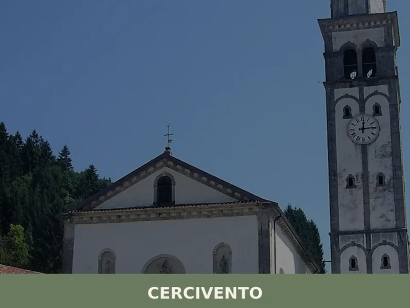
Cercivento
Discover what to see in Cercivento: a 635-soul village in the Carnic Alps of Friuli Venezia Giulia, with historic churches, mosaics, and alpine trails.
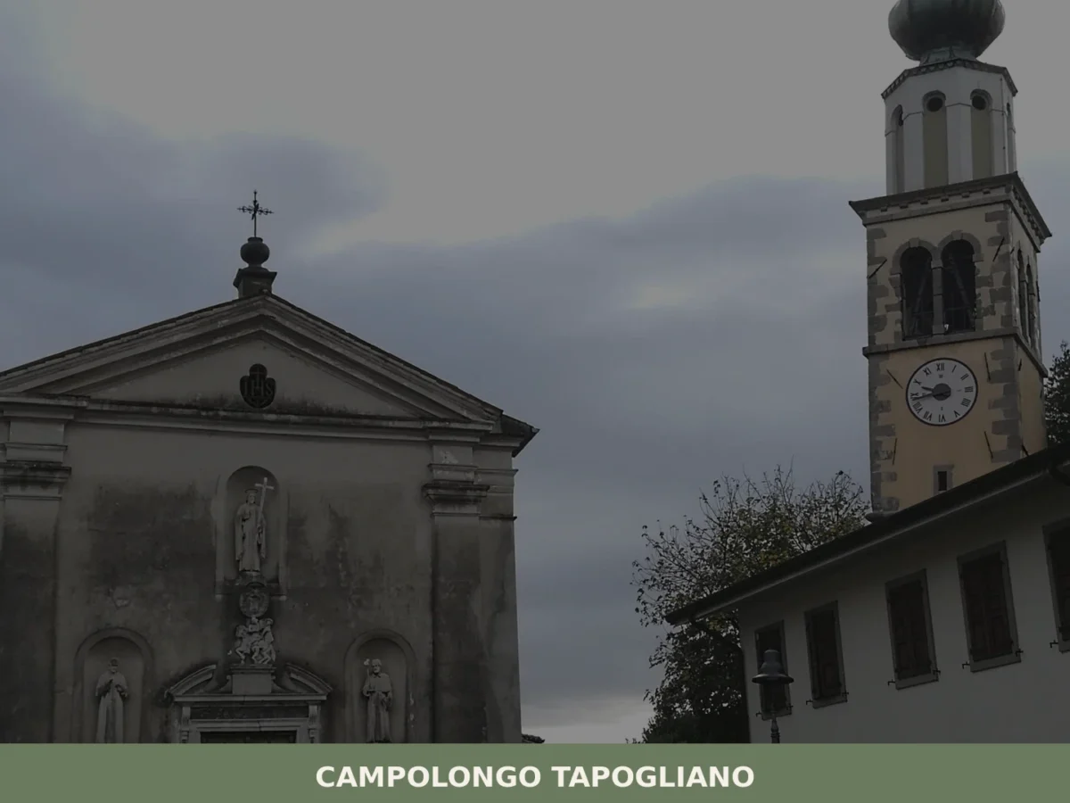
Campolongo Tapogliano
What to see in Campolongo Tapogliano, Friuli-Venezia Giulia, Italy. Explore a comune born in 2009, its twin-town ties with France, local food and how to get there.
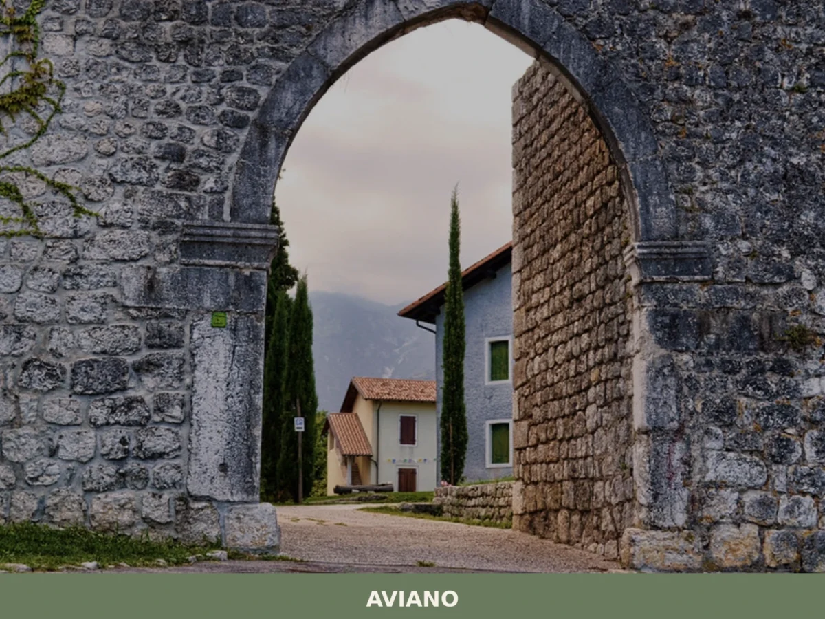
Aviano
What to see in Aviano, Italy: Explore this town of 8,948 inhabitants, from its 10th-century castle ruins to the Cathedral of San Zenone. Discover its rich history and natural beauty.


🏡 Know Bertiolo better than we do?
If you’re a local or have been there, your knowledge matters: add what’s missing or fix a detail on this page.