


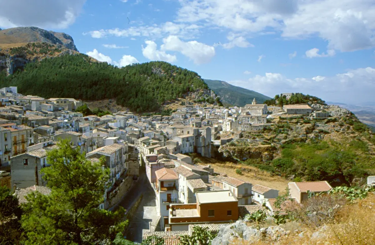
Gratteri
Gratteri, a medieval village in the province of Palermo: history, mother church and stone streets. Discover how to visit it and how to get there from the Madonie.
Discover Gratteri
Gratteri has a current population of 849 and sits at 670 metres above sea level on the southern slope of Pizzo di Pilo, in the western Madonie mountains, province of Palermo. The historic centre preserves an urban layout dating back to Norman rule, with Arab layers still readable in the street names and the arrangement of the alleyways. Per scoprire cosa vedere a Gratteri, si entra in un territorio dove architettura religiosa medievale, paesaggio carsico e tradizione agricola legata alla produzione della manna si intrecciano su pochi ettari di roccia calcarea.
History and origins of Gratteri
The place name Gratteri most likely derives from the Greek kratér (basin, hollow), a direct reference to the morphology of the site: a natural depression sheltered by the rocky walls of the Madonie.
The earliest documentary evidence dates to the Norman period. In 1082, Count Roger I donated the church and lands of Gratteri to the Benedictine monastery of San Giorgio di Gratteri, as recorded in a diploma preserved in the Sicilian ecclesiastical archives. That donation marked the beginning of a stable, structured settlement, with the construction of religious buildings that still define the village’s profile today.
During the 12th century, Gratteri gained strategic importance. The Arab geographer al-Idrisi, in his 1154 work commissioned by Roger II, mentioned the site as Qartari. In the 13th century, the village came under the control of various feudal families, including the Ventimiglia, Counts of Geraci, who held it for centuries. The link with the Ventimiglia family brought a long period of economic stability based on cereal farming and sheep herding — activities that shaped the surrounding agricultural landscape well into the 20th century.
The demographic decline, common to many Madonie towns, accelerated after the Second World War with emigration towards Palermo and northern Italy.
From nearly 4,000 inhabitants recorded in the 1901 census, Gratteri has dropped below the one-thousand mark, a figure that reflects a widespread condition across inland Sicily but one that has not erased the urban and monumental fabric of the historic centre, now the subject of documented restoration efforts by the official municipal website.
What to see in Gratteri: five places to know
1. Chiesa Madre (San Michele Arcangelo)
A building with a 14th-century layout, reworked in the 17th and 18th centuries, it houses a marble statue of the Madonna and Child attributed to the Gagini school of the 16th century. The single nave features Baroque stuccoes and a polychrome majolica floor that documents the ceramic production of western Sicily. The façade in local stone faces the village’s main square.
2.
Ruins of the Priory of San Giorgio
What remains of the monastery founded by the Normans in 1082 lies a short distance from the inhabited centre, along an uphill path. The perimeter walls in calcarenite ashlar blocks and the apse remnants allow the plan of the original building to be read clearly. The site is significant from a historical and architectural standpoint because it represents one of the first Benedictine foundations in the Madonie following the Norman conquest of Sicily.
3. Chiesa della Madonna della Grazia
Built between the 14th and 15th centuries, it features an ogival stone portal that testifies to the persistence of Gothic forms in Sicilian religious architecture even in smaller centres. The interior, with a single nave, holds a 17th-century canvas depicting the Virgin. The elevated position of the building offers a direct vantage point over the valley below and the ridges of the eastern Madonie.
4.
Grotta Grattara
A karstic cavity set in the limestone walls above the village, documented by speleologists from the Club Alpino Siciliano. The cave, of natural origin, has yielded ceramic finds in the past, attesting to human presence as far back as prehistoric times. Access requires a short walk over unequipped terrain, and it is advisable to check with the town hall about trail conditions.
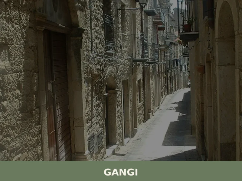
5. Historic centre and medieval quarter
The narrow streets arranged according to the Arab-Norman pattern converge on the Chiesa Madre square. Carved limestone portals, datable between the 16th and 18th centuries, mark the entrances to the historic dwellings. The main street cuts through the village lengthwise, connecting the two ends of the settlement with a steady gradient that follows the ridge’s morphology. From here, the direct relationship between the urban planning and the geology of the site becomes evident.
Food and local products
The most renowned product of the Gratteri area is manna, a sap extracted by incision from the bark of the flowering ash (Fraxinus ornus), harvested between July and September and left to dry into white, crumbly sticks called cannoli.
The Madonie are the last area in Europe where this crop is still cultivated, and Gratteri is one of the municipalities where the harvest continues without interruption. Manna is used in local pastry-making — dissolved in milk, in ricotta-based desserts, in granitas — and marketed as both a food product and a phytotherapeutic remedy. The Slow Food Presidium for Manna of the Madonie includes Gratteri among its reference territories.
Local cooking follows the Madonie tradition: pasta with sardines and wild fennel, tumma and provola from the Madonie (the latter recognised as a PAT product), oven-roasted mutton with potatoes. In autumn, mushrooms are gathered in the holm oak and downy oak woods covering the higher elevations. There is no extensive dining scene — the village has few establishments — but local trattorias work with ingredients from the Madonie farming network.
For up-to-date information on producers and eating places, consult the Wikipedia page for Gratteri and the municipal website.
When to visit Gratteri: the best time
The patron saint’s feast of San Giacomo il Maggiore (Saint James the Greater), celebrated on 25 July, is the main event of the year: a procession, a marching band, fireworks, and the return of emigrants who for a few days effectively double the resident population. It is the moment when the village operates at its peak social intensity. In summer, temperatures at 670 metres remain lower than on the coast — on average 5–7 degrees less than Cefalù, about 25 km away as the crow flies — and evenings often call for a light jacket.
Spring, from April to June, is the best period for hiking in the Madonie Park, of which Gratteri is the western gateway. The blooming of sulla clover colours the hillsides red, and the trails are passable without snow. Winter brings frequent frosts and occasional snowfalls that make access less convenient but reveal a sharp, haze-free Mediterranean mountain landscape. Anyone planning to visit Grotta Grattara or the Priory ruins should favour the dry months, from May to October.
How to reach Gratteri
From Palermo (approximately 90 km, 1 hour and 30 minutes): take the A19 Palermo–Catania motorway, exit at Scillato, then follow the SP 52 uphill to Gratteri.
From Cefalù (approximately 30 km, 40 minutes): take the SP 52 inland, crossing the valley of the Rainò torrent. The nearest airport is Palermo Falcone-Borsellino, about 100 km away. There is no railway station in Gratteri; the closest is Cefalù, on the Palermo–Messina line, from which you need to continue by car or by the AST (Azienda Siciliana Trasporti) bus service, which connects Cefalù to the Madonie municipalities with limited runs. It is advisable to check timetables on the Touring Club Italiano website or directly with the Municipality. A private car remains the most practical way to reach Gratteri and move around the surrounding area.
Other villages to discover in Sicily
Travellers exploring the Palermo hinterland will find a network of small centres that share with Gratteri the condition of minor mountain municipalities with a dense architectural and landscape heritage. Campofiorito, in the Belìce valley, sits at a lower elevation and in a different geological setting — clay hills rather than limestone — but displays similar demographic dynamics and an equally close relationship between urban structure and farming activity.
Visiting it allows you to observe another model of rural Sicilian village, roughly 90 km from Gratteri via the province’s inland roads.
Further south, Contessa Entellina adds a specific cultural dimension: it is one of Sicily’s Arbëreshë communities, with a Byzantine rite and the Albanian language still in liturgical use. The comparison between Gratteri — Norman-Latin in its layered history — and Contessa Entellina — Greek-Albanian — conveys the ethnic and religious complexity of inland Sicily, where villages only a few dozen kilometres apart can belong to entirely distinct linguistic and ritual worlds.
Nearby Villages near Gratteri
In Sicily More villages to discover
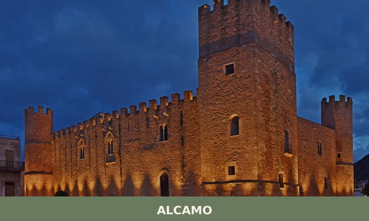
Alcamo
Alcamo sits where Arab merchants once haggled at fiorenti markets and Norman barons held court. Discover how a Mesolithic settlement became Sicily's most layered trading town.
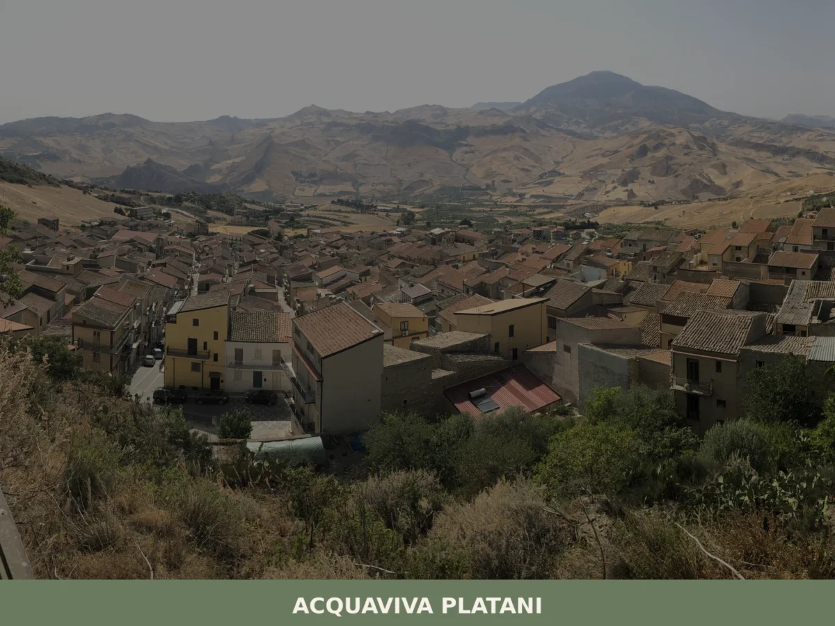
Acquaviva Platani
A clock tower built in 1894 rises above the roofline of a compact hill town in the province of Caltanissetta, its stone face marking hours in a landscape where the Platani river moves through the valley below. The name of the place translates directly from Italian as “Living Water,” a reference to the natural springs […]
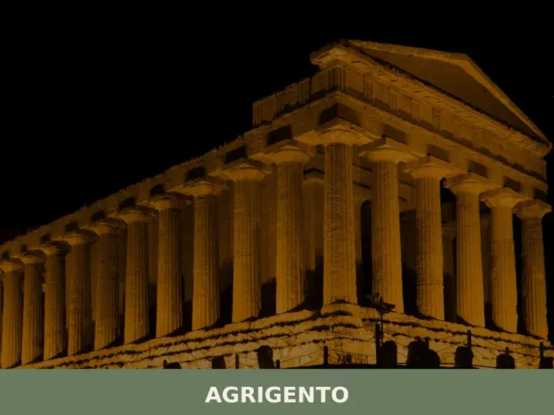
Agrigento
What to see in Agrigento, a city of 58,063 at 230m: UNESCO Valley of the Temples, Norman Cathedral, certified Cotognata. Plan your visit with our complete guide.
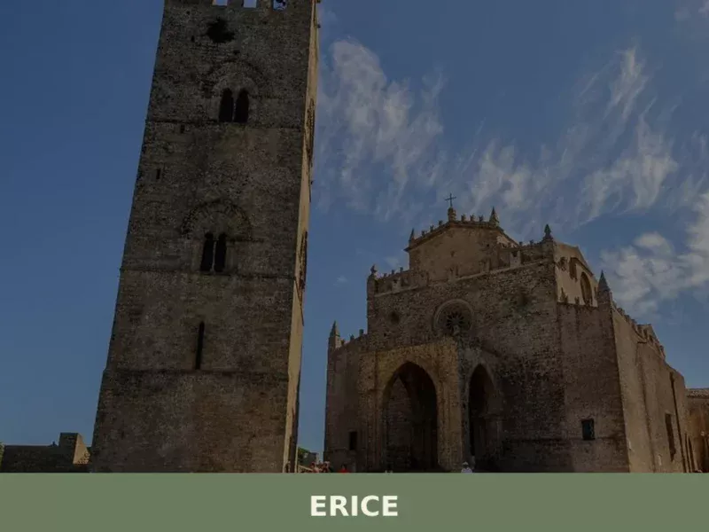
Erice
what to see in erice? Discover Erice, Italy, a village 751 m high. Explore ancient fortifications and the Norman Castle of Venus. Read our guide for top attractions.
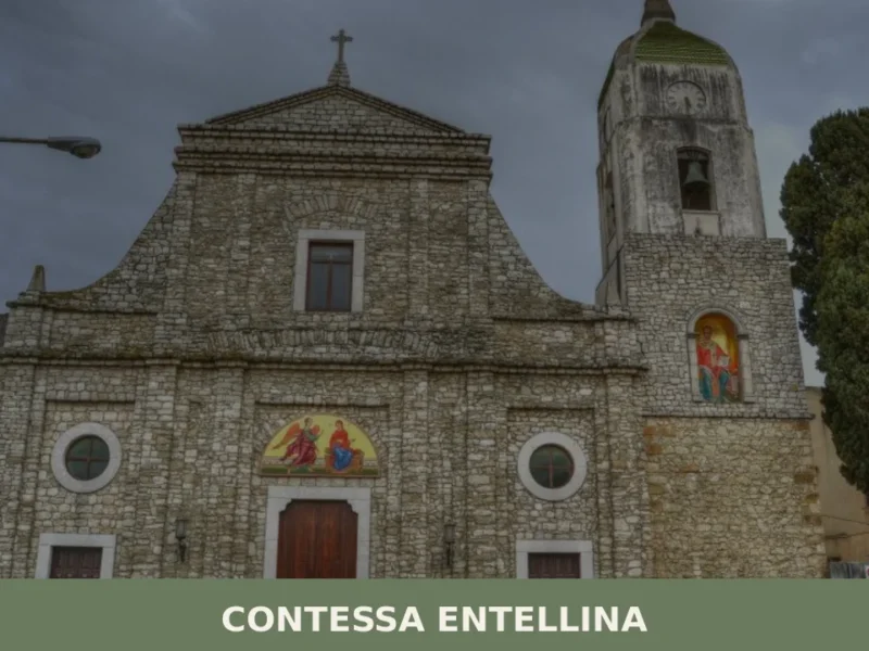
Contessa Entellina
Discover what to see in Contessa Entellina: Arbëreshë heritage, Rocca d'Entella ruins, Byzantine-rite churches, local food, and practical travel tips.
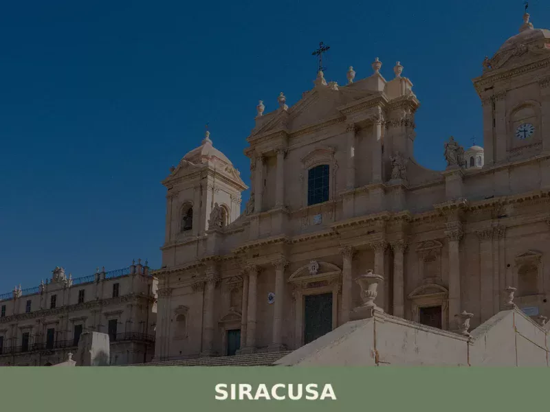
Siracusa
What to see in Siracusa: UNESCO city of 118,644 people. Explore the Greek Theatre, Ortigia, and the Catacombs of San Giovanni. Plan your visit with our complete guide.
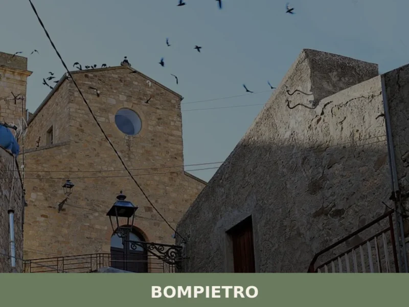
Bompietro
Morning light reaches Bompietro slowly, climbing over the Madonie range before it pours across the rooftops and into the narrow streets where older residents already occupy doorstep chairs. At 685 metres above sea level, the air carries a sharpness absent from the coast — part wild oregano, part cold stone. Fewer than 1,200 people live […]

San Michele di Ganzaria
A village of 2,820 people shaped by a medieval Albanian settlement pact and a baroque parish church with neo-Gothic facade. History runs deep here.
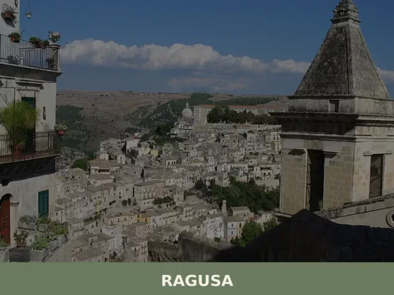
Ragusa
What to see in Ragusa, a UNESCO city at 520m with 70,000 residents: explore Ibla, San Giorgio, Giardino Ibleo and Cotognata PAT. Plan your visit now.
Salaparuta
what to see in salaparuta, Italy: Explore this Belice Valley village, 171 meters above sea level, known for its DOC wine and the San Giuseppe feast on March 19. Discover local history and attractions.


🏡 Know Gratteri better than we do?
If you’re a local or have been there, your knowledge matters: add what’s missing or fix a detail on this page.