


Pontinvrea
What to see in Pontinvrea, Italy: 855 inhabitants, 40 km from Genoa. Discover top attractions, local food, festivals and how to get there. Explore now.
Discover Pontinvrea
The Ligurian dialect still calls it O Ponte — the bridge — and the name anchors the settlement to the crossing point that once linked the inland valleys of the Province of Savona with the routes descending toward the Ligurian coast.
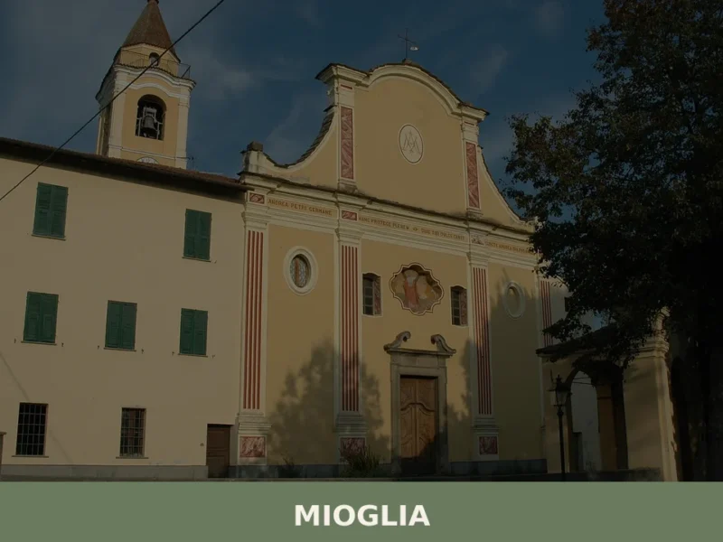
The municipality sits between six neighbouring territories: Albisola Superiore, Cairo Montenotte, Giusvalla, Mioglia, Sassello, and Stella, each pressing against it from a different compass point.
The two frazioni — small administrative subdivisions — of Giovo Ligure and Ferriera extend the built fabric into the surrounding hills, where the terrain rises and the tree cover thickens.
Knowing what to see in Pontinvrea starts with understanding its position: roughly 40 kilometres (25 mi) west of Genova and about 15 kilometres (9 mi) northwest of Savona, it occupies an inland fold of Liguria that most coastal visitors never reach. The village has 855 inhabitants and functions as a compact base for exploring the forests, valley floors, and hill paths of this sector of the Ligurian Apennines. Visitors to Pontinvrea find a settlement shaped by its role as a crossing point, with a historic core, surrounding hamlets, and direct road access from the main Ligurian motorway corridor.
History of Pontinvrea
The toponym itself is the most direct document of the settlement’s origin.
Ponte in Italian means bridge, and the Ligurian form O Ponte confirms that the nucleus formed around a river crossing rather than a fortified hilltop or a religious foundation. This pattern — a settlement defined by infrastructure rather than defence — is relatively uncommon in the Ligurian interior, where most villages occupy elevated ridges chosen for their defensive advantage. Pontinvrea’s position on lower, more accessible ground reflects a practical priority: controlling movement between the valleys that connect the Ligurian coast with the Piedmontese hinterland.
The Province of Savona, within which Pontinvrea sits, has historically formed part of the contested border zone between the Republic of Genoa and the Duchy of Savoy.
Roads and bridges in this corridor carried commercial traffic — salt, oil, and wool moving between the port of Savona and the inland markets — as well as military columns during the prolonged conflicts over Ligurian territory from the medieval period through to the Napoleonic reorganisation of northern Italy in the late eighteenth and early nineteenth centuries.
A crossing point of the kind that gave Pontinvrea its name would have held real economic and strategic value throughout this period, explaining why a stable settlement consolidated around it.
The modern municipality took shape under the administrative structures that followed Italian unification in 1861, when the network of comuni across the peninsula was formalised under a single national framework. Pontinvrea was registered within the Province of Savona, the administrative unit it still belongs to today.
The incorporation of the frazioni of Giovo Ligure and Ferriera into the municipal area reflects the pattern of gradual consolidation common across small Ligurian comuni during the twentieth century, as rural depopulation reduced the administrative capacity of satellite hamlets. Today the population of 855 inhabitants is distributed across the main village and these two subdivisions, maintaining a continuous if low-density human presence across the valley floor and lower slopes.
What to see in Pontinvrea, Liguria: top attractions
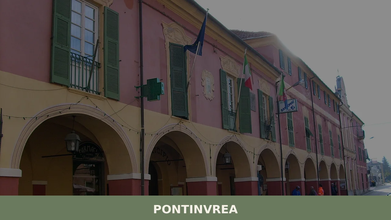
The historic village core and the bridge site
The original bridge crossing that gave Pontinvrea its name in both Italian and the local Ligurian dialect remains the logical starting point for any visit.
The valley floor here is wide enough to have supported a stable structure, and the surrounding built fabric of the old village core preserves the compact street pattern typical of inland Ligurian settlements: narrow passages between stone buildings, ground-floor spaces originally used for storage or livestock, and upper floors with wooden balconies facing south.
Walking through the centre takes no more than twenty minutes, but the spatial logic of the settlement — the way streets converge toward the former crossing point — is immediately readable. Arrive in the morning when the light comes from the east and picks out the texture of the stone facades most clearly.
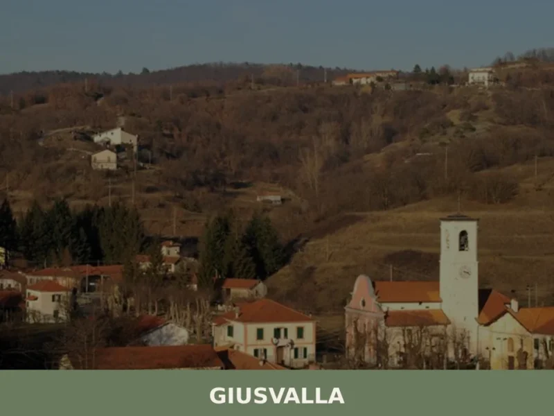
Giovo Ligure frazione
Giovo Ligure, one of the two official frazioni of the Pontinvrea municipality, occupies a position on the surrounding slopes that offers a different spatial reading of the valley than the main village provides.
The elevation gain relative to the valley floor gives the hamlet a distinct microclimate: slightly cooler in summer and more exposed to wind in winter than Pontinvrea itself. The settlement is small even by the standards of Ligurian hill hamlets, and its building stock reflects the functional architecture of a community engaged primarily in farming and forestry over several centuries. For visitors interested in what to see in Pontinvrea beyond the main settlement, the walk or short drive to Giovo Ligure adds useful geographic context to the valley system as a whole.
Ferriera frazione and the valley landscape
The name Ferriera — from ferro, iron — signals a past connected to metalworking, a common industry in Ligurian valleys where water power from fast-moving streams could drive hammers and bellows.
Small iron-processing operations of this kind were widespread across the Ligurian Apennines from the medieval period onward, and place names ending in ferriera or its variants appear throughout the region.
The hamlet today is a quiet residential cluster, but its name preserves a record of the industrial activity that once ran alongside the agricultural economy of the valley. The surrounding landscape, where the valley narrows and the slopes steepen toward the municipal boundaries with Sassello and Mioglia, is worth exploring on foot along the tracks that connect the lower farmland with the higher forest zones.
The municipal boundary landscape and neighbouring territories
Pontinvrea borders six municipalities, and the terrain at each of these boundaries has a character worth understanding before choosing a walking route. The border with Sassello to the northwest places Pontinvrea within reach of the Parco Naturale Regionale del Beigua, a regional natural park covering an extensive area of the Ligurian Apennines.
The park’s boundary zone is accessible on foot from the Pontinvrea municipal area, and the terrain in this sector reaches elevations where the forest cover shifts from mixed deciduous to higher-altitude species.
Visitors who plan their itinerary to include this northern edge of the Pontinvrea territory will cover significantly more distance — plan for a full day if crossing into the Sassello or Mioglia border zones.
The valley road network and approach routes
The road system converging on Pontinvrea preserves, in its geometry, the historical logic of the bridge settlement: routes arrive from multiple directions and the village functions as a node rather than a terminus. The approach from Albisola Superiore to the south follows the valley floor and gives a clear picture of how the terrain transitions from the coastal strip — which lies approximately 15 kilometres (9 mi) away — to the enclosed inland landscape.
The approach from Cairo Montenotte to the north comes through a wider section of the valley before the road narrows near the village centre.
Both approaches reward attention: the vegetation, the width of the valley floor, and the density of built settlement all change markedly over a short distance, giving a compressed cross-section of the Ligurian interior landscape.
Local food and typical products of Pontinvrea
The inland position of Pontinvrea, in the Province of Savona at a distance from both the coast and the major urban centres, shaped a food culture built around what the valleys and slopes could reliably produce: chestnuts, mushrooms, wheat and other grains, locally raised livestock, and foraged greens from the forest margins. The Ligurian Apennine interior developed a distinct culinary register that differs from the olive-oil-and-fish economy of the coastal strip, drawing instead on the resources of altitude and forest.
This distinction is still visible in the cooking of the area today, where the same region that produces pesto alla genovese along the coast gives way to heavier, more calorie-dense preparations as the road climbs inland.
Among the preparations associated with the Savona hinterland, farinata di castagne — a flatbread made from chestnut flour, water, and salt, cooked in a wood-fired oven — represents a staple that would have sustained farming and forestry communities through the winter months when other provisions ran low.
Minestrone in this zone takes on a thicker consistency than its coastal counterpart, incorporating dried beans, seasonal vegetables, and sometimes barley or farro rather than pasta. Funghi trifolati — sliced porcini mushrooms cooked slowly in olive oil, garlic, and flat-leaf parsley — appear on autumn menus when the forests around the village produce significant quantities of Boletus edulis.
The technique is straightforward but depends entirely on the quality and freshness of the mushrooms: thin slicing, low heat, and patience are the only variables.
The forests surrounding Pontinvrea and the neighbouring municipalities of Sassello and Mioglia are historically associated with chestnut cultivation, and dried chestnuts as well as chestnut flour remain products of practical use in local cooking rather than heritage curiosities. The connection between the village and its tree crop is structural: chestnut groves require regular maintenance, and the rhythm of the agricultural calendar in this part of the Ligurian Apennines was organised around the October harvest.
Visitors arriving in autumn will find chestnuts at local markets and in the menus of restaurants serving the surrounding area.
The Savona province, which includes Pontinvrea, falls within the production zones of Ligurian extra virgin olive oil, though the village’s inland elevation means that olive cultivation is less intensive here than on the terraced coastal slopes.
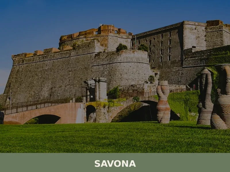
Honey production using local wildflower and chestnut-blossom sources is documented across the Ligurian Apennine municipalities, and small producers in the area around Pontinvrea maintain hives at varying altitudes. Local food shopping is most productive at periodic markets in the larger nearby centres of Savona and Cairo Montenotte, where producers from the surrounding valleys bring goods directly.
Festivals, events and traditions of Pontinvrea
The liturgical calendar structures the annual cycle of public events in Pontinvrea as it does across the Ligurian interior. The local parish observes the feast days of its patron saint with a religious procession through the village streets, typically accompanied by a collective meal or sagra — a traditional local food festival — organised by the parish or civic association.
Summer is the primary season for outdoor events of this kind across Ligurian comuni of comparable size, with August concentrating the largest number of communal gatherings because the population of 855 inhabitants swells with returned seasonal residents and visitors from the coast.
The surrounding municipalities that border Pontinvrea — Sassello in particular — host documented food events focused on local products, and residents of Pontinvrea participate in these as part of a broader valley calendar.
Sassello is known within the province for its amaretti, a soft almond biscuit distinct in texture from the hard Saronno variety, and the production and celebration of this product draws visitors to the wider area in autumn and during the pre-Christmas period.
The geographic proximity of Pontinvrea to Sassello means that visitors staying in or passing through the former municipality are well positioned to include these neighbouring events in their itinerary.
When to visit Pontinvrea, Italy and how to get there
The best time to visit this part of Liguria depends on what the visitor prioritises. Late spring — May and June — brings mild temperatures, full vegetation on the slopes, and the lowest tourist pressure of the warm season. This period suits walking in the valley and hill terrain around the frazioni without the heat that builds in July and August.
Autumn, specifically late September through October, is the most productive season for anyone interested in the forest landscape and local food: mushroom and chestnut harvests are active, the deciduous cover begins to turn, and the light at lower sun angles improves the visual quality of the stone village architecture. Winter is cold and sometimes wet at these elevations, and some local businesses reduce hours or close between December and February.
Getting to Pontinvrea by car is straightforward from the Ligurian motorway corridor.
The A26 Autostrada dei Trafori motorway connects Genova to Alessandria and runs within accessible distance of the Savona hinterland; the most practical approach uses the exit at Albisola on the A10 coastal motorway, from which the road north toward Pontinvrea covers approximately 15 kilometres (9 mi). From Savona city centre the drive takes around 20 minutes under normal traffic conditions. From Genova the journey covers roughly 40 kilometres (25 mi) and takes approximately 45 minutes by car, making Pontinvrea a viable day trip from the regional capital.
For those using public transport, Trenitalia services connect Genova and Savona frequently, and from Savona station local bus services reach the inland valleys, though frequency is limited on weekends and in the low season. The nearest major airport is Genova Cristoforo Colombo, approximately 50 kilometres (31 mi) away by road.
International visitors should note that English is not widely spoken in smaller shops and local establishments in this part of the Ligurian interior; carrying euro cash is practical, as card payment terminals are not universal in village-scale businesses.
Visitors arriving from further afield — Milan lies approximately 170 kilometres (106 mi) north via the A26 motorway, a drive of around two hours — can reach Pontinvrea as part of a longer Ligurian itinerary combining the coast and the Apennine interior. The village’s position at 40 kilometres (25 mi) from Genova also makes it a logical extension to a visit to the Ligurian capital, adding an inland dimension to a trip otherwise focused on the port city and the Riviera.
Those interested in extending their exploration of inland Liguria might also consider Apricale, a well-documented inland Ligurian village in the Province of Imperia that shares the same pattern of ridge-top settlement and valley agriculture found across this part of the region.
Frequently asked questions about Pontinvrea
What is the best time to visit Pontinvrea?
Autumn is the prime season: September and October bring cooler temperatures, spectacular foliage in the Apennine forests, and the peak harvest of porcini mushrooms in the woods surrounding the village. Summer is pleasant at 425 metres, noticeably cooler than the nearby Ligurian coast, making July and August good for hiking without the seaside crowds. Mark 10 August in your calendar: the feast of San Lorenzo, the village patron, is the main local celebration of the year. Spring offers quiet trails and fresh greenery. Avoid mid-January to mid-February if you dislike cold, damp mountain weather.
What are the historical origins of Pontinvrea?
Pontinvrea takes its name from a river crossing: ponte means bridge, and the Ligurian dialect still calls the village O Ponte. Unlike most Ligurian interior settlements built on defensive hilltops, Pontinvrea grew on lower, accessible ground to control movement between the valleys linking the port of Savona with the Piedmontese hinterland. The route carried commercial traffic — salt, oil, wool — and military columns during the long conflicts between the Republic of Genoa and the Duchy of Savoy. The modern municipality was formalised within the Province of Savona after Italian unification in 1861.
What to see in Pontinvrea? Main monuments and landmarks
Begin at the historic village core, where the street layout converges on the original bridge-crossing site that gave Pontinvrea its name — a twenty-minute walk reveals compact stone buildings with wooden south-facing balconies typical of inland Liguria. From there, drive or walk up to the frazione of Giovo Ligure for a different view over the whole valley system. The frazione of Ferriera, whose name records a former iron-working industry powered by local streams, adds industrial heritage context. All three points are accessible by road; no admission fees apply to the outdoor areas.
What are the main natural or scenic attractions of Pontinvrea?
Pontinvrea's northern boundary touches the edge of the Parco Naturale Regionale del Beigua, one of Liguria's largest regional nature parks, accessible on foot from the municipal territory through the border zones shared with Sassello and Mioglia. The park sector here reaches elevations where mixed deciduous forest transitions to higher-altitude species. The valley narrows toward the Ferriera hamlet, where slopes steepen and forest tracks connect farmland to higher woodland. Allow a full day for routes crossing into the Sassello or Mioglia border zones. The Beigua park authority publishes official trail maps.
Where to take the best photos in Pontinvrea?
The most photogenic moment in the historic core comes in the morning, when eastern light picks out the texture of the stone facades along the streets converging on the old bridge site. The frazione of Giovo Ligure, set on the surrounding slopes, offers elevated views across the valley floor that are impossible from the village centre. For landscape shots, the approach road from Albisola Superiore provides a compressed cross-section of the Ligurian interior — valley floor, terraced slopes, and Apennine ridgeline — within a short distance, best photographed in the soft light of late afternoon.
What can you do in Pontinvrea? Activities and experiences
Hiking is the primary activity: forest tracks connect the valley floor to higher terrain, and the Parco Naturale Regionale del Beigua is reachable on foot from the northern edge of the municipal area. Autumn foraging culture is strong in this part of the Savona hinterland — porcini mushrooms and chestnuts are harvested from the surrounding forests, and local restaurants serve seasonal menus built around these ingredients. The village also suits slow drives through the valley, with worthwhile stops at the frazioni of Giovo Ligure and Ferriera. The feast of San Lorenzo on 10 August is the main annual event.
Who is Pontinvrea suitable for? Families, couples, hikers, solo travelers?
Pontinvrea suits hikers and nature lovers above all: the proximity to the Parco Naturale Regionale del Beigua and the network of Apennine forest trails make it a practical base for a day or weekend of walking. Couples looking for a quiet inland escape from the crowded Ligurian coast will appreciate the cool summer temperatures and the relaxed pace of village life. Foodies interested in the chestnut and mushroom traditions of the Savona hinterland will find the autumn season particularly rewarding. The village is less suited to visitors seeking museums, nightlife, or beach access.
What to eat in Pontinvrea? Local products and specialties
The cooking of the Savona Apennine interior differs markedly from the coastal Ligurian tradition. Key dishes include farinata di castagne — a flatbread of chestnut flour, water, and salt baked in a wood-fired oven — and a thick inland-style minestrone incorporating dried beans, seasonal vegetables, and grains such as barley or farro. In autumn, funghi trifolati — fresh porcini sliced thin and cooked slowly in olive oil, garlic, and parsley — appear on local menus. Chestnut flour and dried chestnuts remain practical pantry staples here, not heritage novelties; the chestnut groves surrounding the village are still actively maintained.
📷 Photo Gallery — Pontinvrea
Getting there
Piazza dell'Indipendenza, 17042 Pontinvrea (SV)
Nearby Villages near Pontinvrea
In Liguria More villages to discover
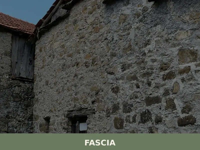
Fascia
At 1118 meters above sea level, Fascia, in the province of Genoa, stands out as one of Liguria’s highest municipalities, with a population of just 70 inhabitants. This demographic data, recorded in the last census, defines a setting of rare tranquility and a distinct mountain identity. For those wondering what to see in Fascia, it […]
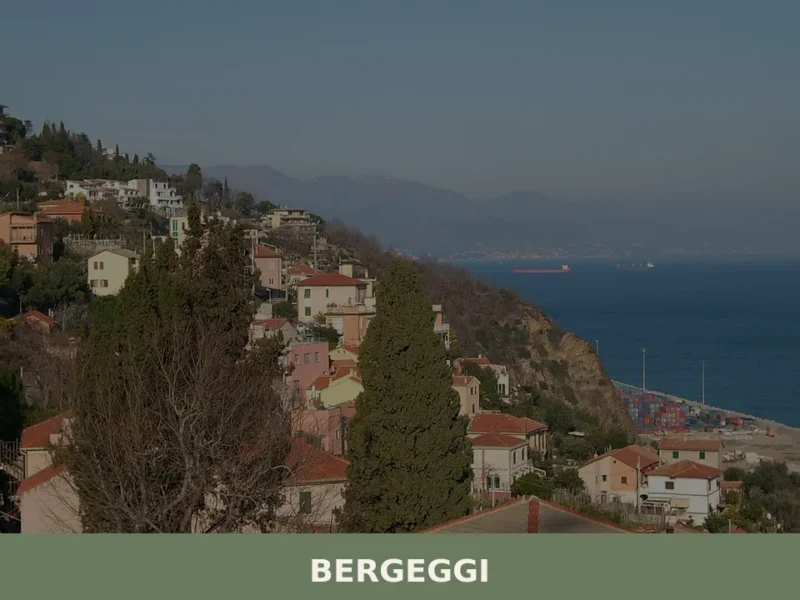
Bergeggi
The limestone bluffs that drop into the Ligurian Sea west of Savona do not ease the traveller in gently. The coastline here is direct: rock, water, and the smell of salt on warm stone. Bergeggi sits at roughly 10 km (6.2 mi) from Savona, at a point where the Via Aurelia, the ancient Roman road […]
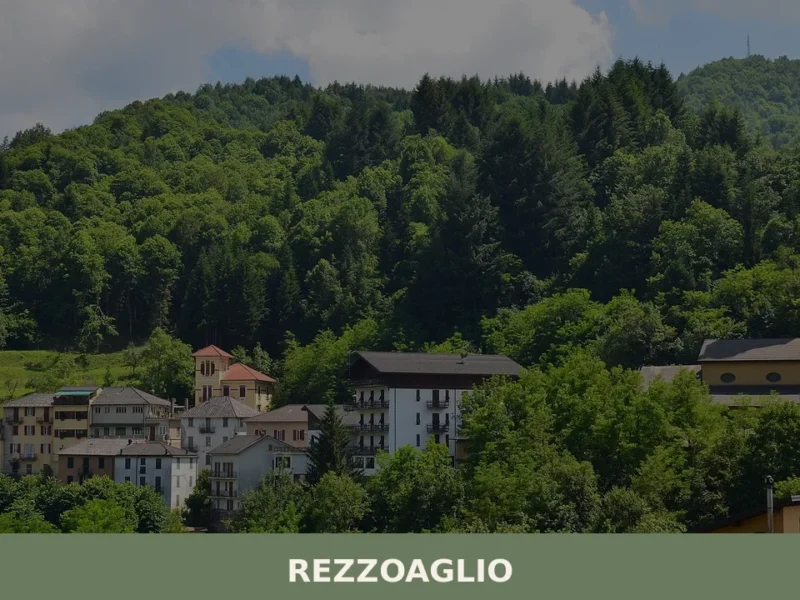
Rezzoaglio
What to see in Rezzoaglio, Italy: explore the Aveto Natural Regional Park, local food traditions and 1,048 inhabitants village life. Discover everything here.
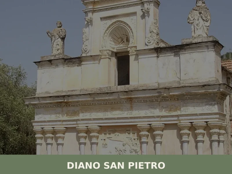
Diano San Pietro
What to see in Diano San Pietro: a village of 1,081 at 83m in the Diano Valley. Discover the Church of San Pietro, olive terraces and nearby villages. Plan your visit.
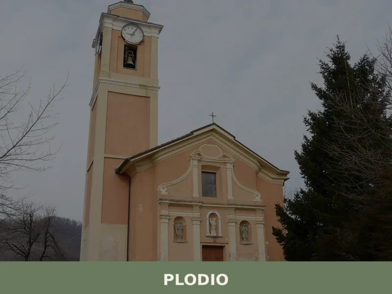
Plodio
What to see in Plodio, Liguria, Italy: explore Val Bormida, Col di Cadibona and local traditions in a village of 640 inhabitants. Discover the full travel guide.
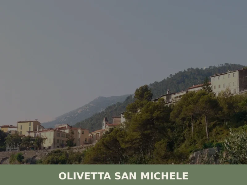
Olivetta San Michele
What to see in Olivetta San Michele? Discover 5 unique aspects of this Ligurian village, between history and nature. Read the full guide and plan your visit!
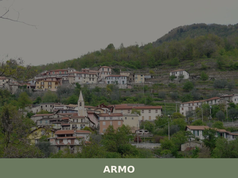
Armo
Armo, a village of 120 inhabitants above the Petrace valley in Calabria, rewards visitors with stone lanes, ancient olive terraces, and Aspromonte trails.
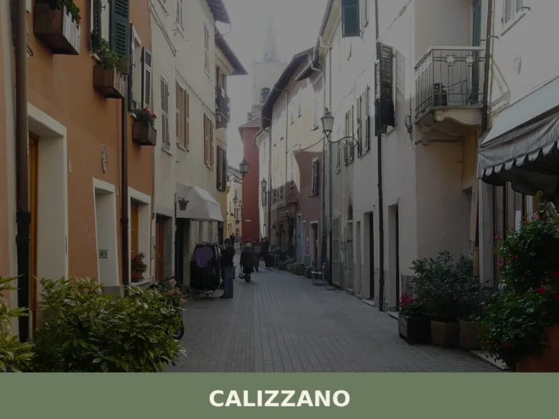
Calizzano
What to see in Calizzano, Liguria, Italy: explore the upper Bormida Valley at 70 km from Genoa. Discover Monte Spinarda, local food and festivals. Read the guide.
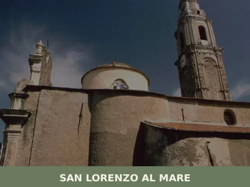
San Lorenzo al Mare
What to see in San Lorenzo al Mare, Italy: Discover its 1,380 inhabitants and coastal charm. Explore historic sites and the scenic Riviera dei Fiori. Plan your Ligurian trip.
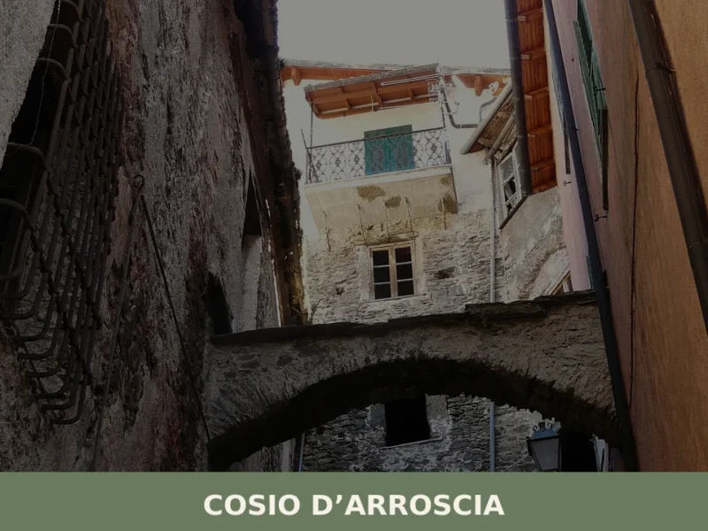
Cosio d’Arroscia
what to see a Cosio d'Arroscia: il village ligure a 721 m s.l.m. con 171 abitanti, la chiesa dei Santi Pietro e Paolo, i hiking trails dell'Alta Via e la festa patronale del 29 giugno.


🏡 Know Pontinvrea better than we do?
If you’re a local or have been there, your knowledge matters: add what’s missing or fix a detail on this page.