


Acquarica del Capo
Acquarica del Capo existed as an independent municipality in the province of Lecce for decades before a formal merger on 15 May 2019 united it with neighbouring Presicce to form the new comune of Presicce-Acquarica. That administrative change did nothing to alter the physical village, which sits in the Capo di Leuca territory at the […]
Discover Acquarica del Capo
Acquarica del Capo existed as an independent municipality in the province of Lecce for decades before a formal merger on 15 May 2019 united it with neighbouring Presicce to form the new comune of Presicce-Acquarica. That administrative change did nothing to alter the physical village, which sits in the Capo di Leuca territory at the southern tip of the Salentine Peninsula, roughly 56 kilometres south of Lecce and 10 kilometres from the Ionian coast. For anyone researching what to see in Acquarica del Capo, the answer begins in the agricultural plains and limestone streets of this quietly purposeful Salento settlement.
History of Acquarica del Capo
The name Acquarica derives from the medieval Latin acquarica or acquaritia, a term connected to water sources or water management — a significant detail in a landscape where cisterns and underground water channels were decisive factors in determining where communities could survive. The suffix “del Capo” distinguishes this settlement from other Apulian villages sharing the same root name, anchoring it geographically to the Capo di Leuca promontory, the farthest southern point of the Italian peninsula’s heel. This naming convention was not decorative: it reflected a practical medieval administrative habit of differentiating villages within a densely populated territory.
During the medieval and early modern periods, the village fell within the broader feudal framework that governed much of Terra d’Otranto, the large historical province encompassing the southern Salento. Like many settlements in this area, Acquarica del Capo would have passed through the hands of successive noble families and ecclesiastical authorities whose control over land, water rights and agricultural labour defined daily life for centuries. The village belongs to the zone known as the Serre Salentine, a series of low limestone ridges running through the interior of the peninsula — a geological feature that influenced building materials, land use patterns and the orientation of rural estates throughout the region.
The most consequential recent chapter in Acquarica del Capo’s administrative history was the 2019 merger with Presicce. The consolidation, formalised on 15 May of that year, was part of a broader national policy encouraging smaller Italian municipalities to combine resources and reduce administrative costs. With a recorded population of approximately 5,005 inhabitants prior to the merger, Acquarica del Capo was a functioning agricultural community of modest but stable size. The former town hall functions and civic services were absorbed into the new joint municipality, though the village itself retains its distinct street grid, its churches and the agricultural hinterland that gave it its economic identity.
What to see in Acquarica del Capo: 5 must-visit attractions
Chiesa Matrice di Sant’Andrea Apostolo
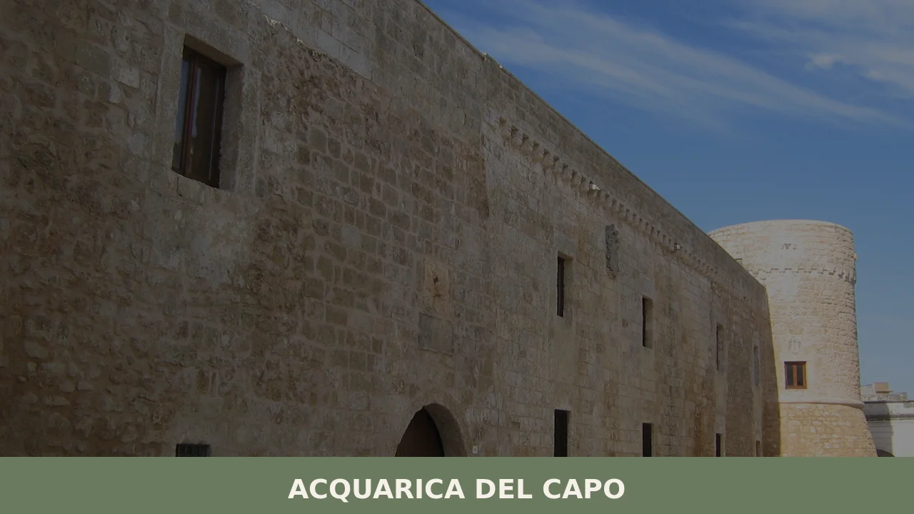
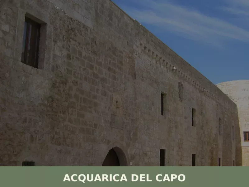
The main parish church dedicated to Saint Andrew the Apostle stands at the centre of village life in Acquarica del Capo. Built in the baroque architectural tradition that dominates religious structures across the Salento, the façade presents the formal stonework typical of local pietra leccese limestone. The interior holds the principal devotional images associated with the village’s liturgical calendar.
The Historic Village Centre
The compact historic core of Acquarica del Capo is laid out on the limestone ridge characteristic of the Serre Salentine zone. The low, whitewashed residential buildings are constructed from local stone, with the thick-walled architecture typical of settlements designed to manage heat in a territory with long, dry summers. Several courtyard structures — corti — survive from earlier agricultural arrangements.
Rural Masserie of the Agricultural Hinterland
The countryside surrounding the village contains examples of the masseria — the fortified farmstead form that served as the primary unit of agricultural production across southern Puglia from the 16th century onward. These complexes, built from local limestone, integrated living quarters, storage, olive presses and animal enclosures within a single defensive perimeter, reflecting both economic function and the insecurity of the early modern rural landscape.
Olive Groves and the Serre Salentine Landscape
The territory around Acquarica del Capo falls within a landscape of ancient olive cultivation that defines the visual and economic character of the southern Salento. Some individual trees in this zone are documented at several centuries of age. The groves are not ornamental: they are working agricultural installations producing the olive oil that remains central to the local economy and to the broader Capo di Leuca area shared with nearby Patù.
Proximity to the Ionian Coast
Located 10 kilometres from the Ionian Sea, Acquarica del Capo sits within easy reach of the coastline between Santa Maria di Leuca and the western Salento shore. The Ionian side of the peninsula in this area features long, flat sandy and rocky beaches that differ markedly from the more dramatic Adriatic cliffs to the east — a geographical contrast that makes the village a practical inland base for coastal exploration.
Local food and typical products
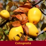
The food culture of Acquarica del Capo belongs to the cucina povera tradition of the Salento interior, a cooking practice built on legumes, wild greens, local bread and olive oil rather than elaborate preparation. Ciceri e tria — a dish of chickpeas with a combination of boiled and fried pasta — is one of the most documented traditional preparations of the area, with roots going back to Arab and Byzantine culinary influence in the medieval period. Pittule, fried dough balls prepared during the Christmas season, and fave e cicoria — broad bean purée served with wild chicory — are further examples of a diet in which legumes provided the primary protein source for agricultural communities. The olive oil produced in this zone, from varieties including Cellina di Nardò and Ogliarola Salentina, is eligible for the Terra d’Otranto DOP designation, a protected origin status that reflects the documented quality of oil from the southern Lecce province.
For visitors looking to eat in or near Acquarica del Capo, the options are modest and primarily local in character. The merger with Presicce has effectively expanded the catchment of available restaurants and trattorie, and the combined municipality of Presicce-Acquarica offers a small but genuine selection of places serving regional Salento dishes. The regional tourism platform Viaggiare in Puglia maintains updated listings of local dining options in this area. Local markets and small food shops in the village remain the most direct point of contact with the products — bread, oil, dried legumes and seasonal vegetables — that define the territory’s food identity.
Best time to visit Acquarica del Capo
The Capo di Leuca territory has a strongly Mediterranean climate: summers are long and dry, with July and August temperatures regularly reaching 35°C in the interior villages. September and October deliver warm, stable weather with noticeably lower temperatures than peak summer, making them the most comfortable months for walking the village streets and exploring the agricultural landscape. Spring, from April through June, brings the countryside into productive life — the olive groves are maintained, wildflowers cover the limestone ridges and the light is consistent without the intense midday heat of July. Winter in the Salento is mild by northern Italian standards, though the southern peninsula can experience strong Adriatic and Ionian winds in December and January.
The feast of Sant’Andrea Apostolo, the village’s patron saint, anchors the local religious and civic calendar. Patron saint festivals in this part of the Salento typically involve processions, outdoor music and temporary market stalls, drawing residents who have left the village back for a few days. The timing of this celebration — and of other local religious events in the Presicce-Acquarica municipality — is worth checking in advance through the official website of the Comune di Presicce-Acquarica before planning a visit around specific dates.
How to get to Acquarica del Capo
Acquarica del Capo is located in the deep south of the Salentine Peninsula, approximately 56 kilometres south of Lecce. The most practical approach by road is via the SS274 state road, which runs along the western Ionian side of the peninsula connecting Lecce and its surrounding towns to the Capo di Leuca area. The journey by car from Lecce takes approximately 50 to 60 minutes depending on traffic and the route taken through the interior.
- Nearest airport: Brindisi Airport (Aeroporto del Salento), approximately 90 kilometres north. Car hire from the airport is the most practical option for reaching the village.
- Nearest railway: The Sud-Est regional rail network serves the Salento interior, with stops at Presicce-Acquarica accessible from Lecce. Journey times are longer than by car, and onward connections to the village typically require a local bus or taxi.
- From Lecce by car: Approximately 56 km, roughly 55 minutes via the SP358 and SS274.
- From Taranto by car: Approximately 110 kilometres, around 90 minutes.
- Motorway: The A14 motorway serves Taranto to the north; from there, access to the Salento interior is via state and provincial roads with no direct motorway connection to the Capo di Leuca zone.
Where to stay in Acquarica del Capo
Acquarica del Capo itself is a small village with limited dedicated tourist accommodation. The most realistic options for visitors are agriturismo properties in the surrounding countryside — farmhouses that offer rooms within working or former agricultural estates — and private holiday homes available through rental platforms. This type of accommodation is well suited to the territory: a rural property with access to outdoor space and proximity to olive groves gives a more accurate picture of the landscape than a coastal hotel would. The village centre itself has no large hotel infrastructure, which reflects both its size and the fact that this part of the Salento has historically attracted a more dispersed, self-catering style of tourism.
The combined municipality of Presicce-Acquarica increases the practical options, and the nearby Ionian coast — 10 kilometres to the west — has a more developed range of seasonal accommodation, particularly in summer. For visitors who want to use Acquarica del Capo as a base for exploring the broader Capo di Leuca area, booking well in advance for July and August is advisable, as southern Salento attracts significant Italian domestic tourism during those months. Shoulder-season visitors in May, June or September will find better availability and more competitive rates across all accommodation types.
More villages to discover in Puglia
The southernmost tip of the Salentine Peninsula rewards patient exploration. A short distance from Acquarica del Capo, Patù preserves one of the more unusual archaeological presences in the Capo di Leuca zone, while the great white city of Ostuni, in the northern Brindisi province, offers a contrasting point of reference — a hilltop settlement of densely packed cubic architecture overlooking the Valle d’Itria, roughly two hours north by car. Between these two points, Puglia’s interior unfolds in a sequence of distinct local cultures and building traditions.
For those willing to cross regional boundaries within the broader Italian south, the inland villages of Puglia’s Daunia uplands present a dramatically different landscape from the flat limestone plains of the Salento. Troia, in the Foggia province, carries one of the most significant Romanesque cathedrals in the region, while the remote village of Carlantino, perched above an artificial lake in the Daunia hills, shows how different the far north of Puglia is from the peninsula’s southern tip — a distance of geography and character that a single regional label does little to convey.
Frequently asked questions about Acquarica del Capo
What is the best time to visit Acquarica del Capo?
The ideal time to visit Acquarica del Capo is during spring (April-June) when the countryside is vibrant with wildflowers and pleasant temperatures, or in autumn (September-October) for warm, stable weather perfect for exploring the village and agricultural landscape without the intense summer heat. Summers (July-August) are hot, regularly reaching 35°C. The village celebrates its patron saint, Sant'Andrea Apostolo, with traditional festivals involving processions, outdoor music, and local markets. While specific dates vary, it's advisable to check the official Comune di Presicce-Acquarica website for the exact timing of this and other local religious events before planning your visit.
What to see in Acquarica del Capo? Main monuments and landmarks
Discover Acquarica del Capo starting with the Chiesa Matrice di Sant'Andrea Apostolo, a beautiful Baroque church showcasing local pietra leccese stonework at the heart of the village. Explore the compact Historic Village Centre, characterized by its low, whitewashed limestone buildings and traditional 'corti' (courtyard structures). Don't miss the rural Masserie scattered in the surrounding agricultural hinterland, which are historic fortified farmsteads. The ancient Olive Groves and the distinctive Serre Salentine landscape offer picturesque views, ideal for leisurely strolls. Moreover, its strategic location just 10 kilometres from the Ionian Coast provides easy access to beautiful sandy and rocky beaches.
What are the main natural or scenic attractions of Acquarica del Capo?
Acquarica del Capo is nestled within the scenic Serre Salentine landscape, characterized by low limestone ridges and ancient olive groves, some trees centuries old, which define the visual and economic character of the area. These groves offer a tranquil natural setting for walks and appreciation of the agricultural heritage. Furthermore, the village's advantageous position, just 10 kilometres from the Ionian Coast, provides easy access to a variety of natural beaches, featuring long stretches of sand and rocky shores that are perfect for seaside relaxation and exploration, differing markedly from the Adriatic cliffs.
Where to take the best photos in Acquarica del Capo?
For captivating photos in Acquarica del Capo, focus on the intricate Baroque façade of the Chiesa Matrice di Sant'Andrea Apostolo. The Historic Village Centre offers picturesque scenes with its characteristic whitewashed limestone buildings, narrow streets, and traditional 'corti' (courtyard structures). Capture the timeless beauty of the surrounding Serre Salentine landscape, particularly the ancient olive groves with their gnarled trunks. Additionally, the rural Masserie provide unique architectural subjects. A short drive to the nearby Ionian Coast will yield stunning coastal vistas, from sandy beaches to rocky stretches, especially at sunset.
Are there museums, churches or historic buildings to visit in Acquarica del Capo?
Yes, Acquarica del Capo offers historical and religious architecture to explore. The prominent Chiesa Matrice di Sant'Andrea Apostolo, a significant Baroque church built from local pietra leccese, is central to the village and its life. While specific tourist visiting hours are not provided, churches are typically open during liturgical services. The Historic Village Centre itself is a collection of well-preserved historic buildings, featuring traditional whitewashed houses and ancient 'corti.' Additionally, the surrounding countryside is dotted with historic rural Masserie, fortified farmsteads that offer a glimpse into the region's agricultural past. There are no specific museums mentioned.
What can you do in Acquarica del Capo? Activities and experiences
In Acquarica del Capo, you can immerse yourself in authentic Salento life. Explore the tranquil Historic Village Centre and its Baroque Chiesa Matrice, or take leisurely walks through the ancient olive groves and the picturesque Serre Salentine landscape. The village's proximity to the Ionian Coast (10km) makes it an excellent base for coastal exploration, offering access to sandy and rocky beaches for swimming and relaxation. Engage with the local food culture by sampling 'cucina povera' dishes like 'ciceri e tria' and visiting local markets for fresh products. If your visit coincides, experience a traditional patron saint festival with its vibrant processions and local stalls.
Who is Acquarica del Capo suitable for? Families, couples, hikers, solo travelers?
Acquarica del Capo is ideal for travelers seeking an authentic, tranquil Salento experience away from mass tourism. It appeals to couples and solo travelers looking for cultural immersion, keen to explore historic village centers, rural masserie, and ancient olive groves. Its peaceful agricultural setting makes it perfect for those who enjoy walking, cycling, and appreciating local traditions. Food enthusiasts will appreciate the 'cucina povera' and local products. Families might enjoy the relaxed pace and proximity to the Ionian coast for beach days, while those interested in local history and genuine Puglian life will find it particularly rewarding.
What to eat in Acquarica del Capo? Local products and specialties
Acquarica del Capo offers a taste of Salento's authentic 'cucina povera' tradition, rich in local produce and simple, delicious preparations. Must-try specialties include 'ciceri e tria,' a unique dish combining chickpeas with both boiled and fried pasta, reflecting ancient culinary influences. During the festive season, look for 'pittule,' delightful fried dough balls. Another staple is 'fave e cicoria,' a comforting broad bean purée served with wild chicory. Don't leave without tasting the exquisite local olive oil, produced from varieties like Cellina di Nardò and Ogliarola Salentina, which holds the prestigious Terra d'Otranto DOP designation. You can find these products in local markets and small village shops.
📷 Photo Gallery — Acquarica del Capo
Getting there
Piazza Municipio, 73040 Acquarica del Capo
Nearby Villages near Acquarica del Capo

In Apulia More villages to discover
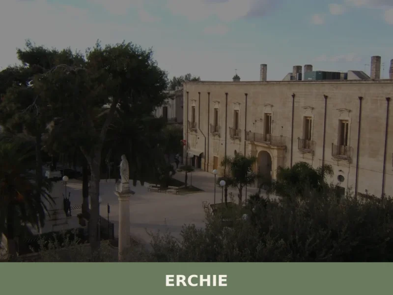
Erchie
Discover what to see in Erchie, Puglia u2014 a village at the crossroads of three provinces, with Baroque churches, masserie, and authentic Salento cuisine.
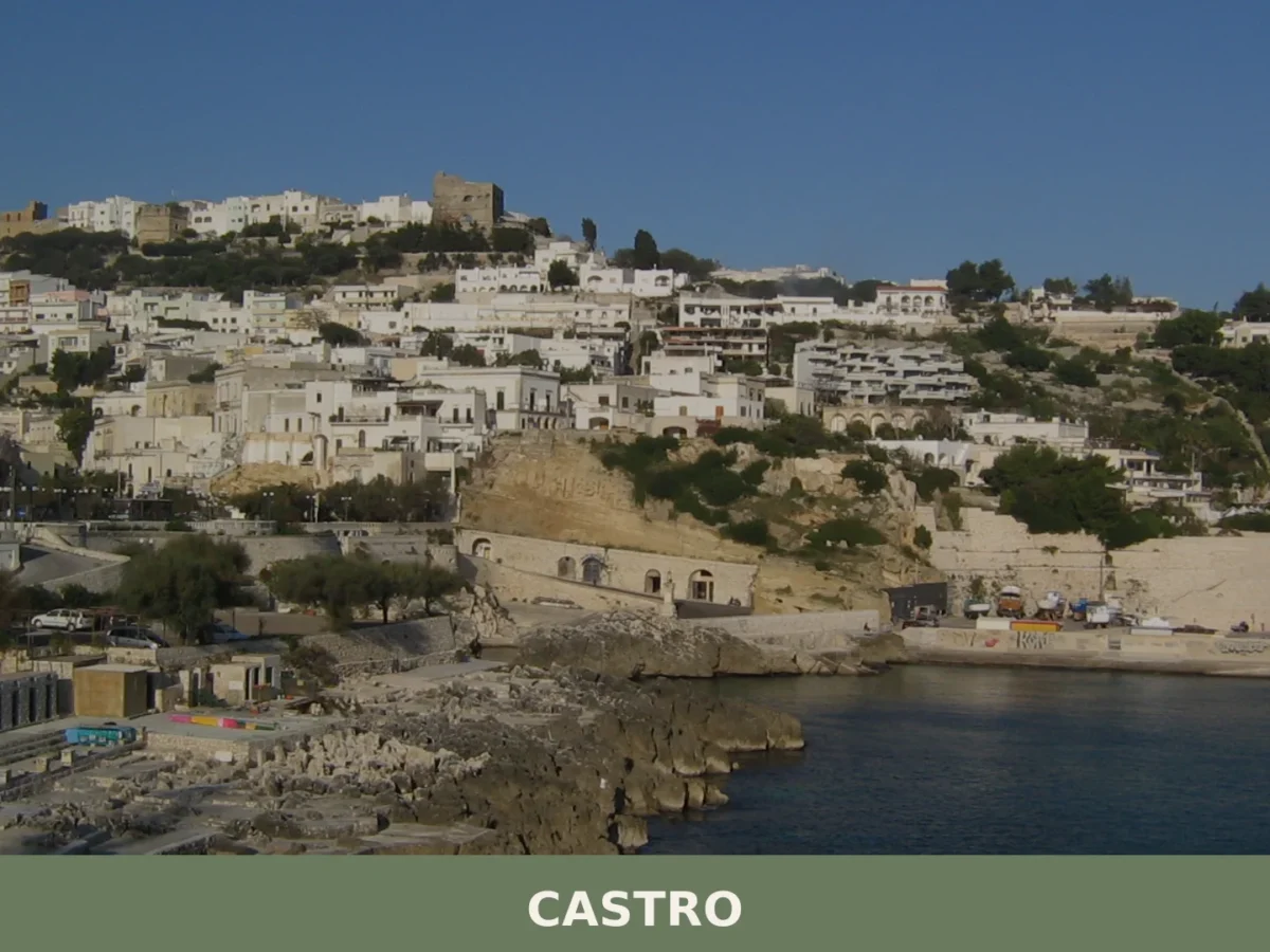
Castro
Population 2,318 on 4.44 km². Visit for the 12th-century castle, 11th-century church, and Byzantine remains overlooking the Canale d'Otranto.
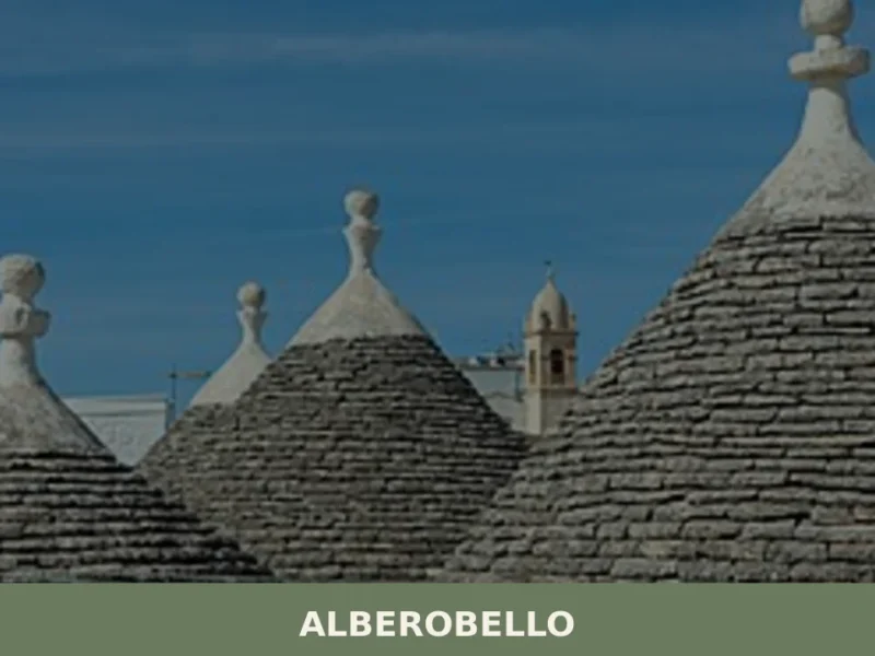
Alberobello
Alberobello, Puglia: Discover UNESCO trulli, Monti & Aia Piccola districts. Explore unique history & traditions. Plan your visit!
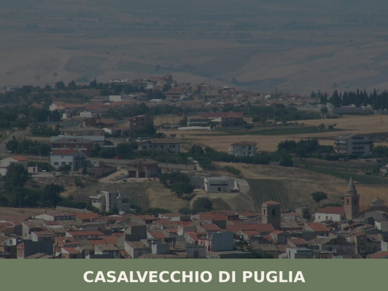
Casalvecchio di Puglia
An Arbëreshë village of 1,689 inhabitants perched at 465 metres in the Daunia hills. A guide to its historic centre, rural paths, and slow-paced southern Italian life.
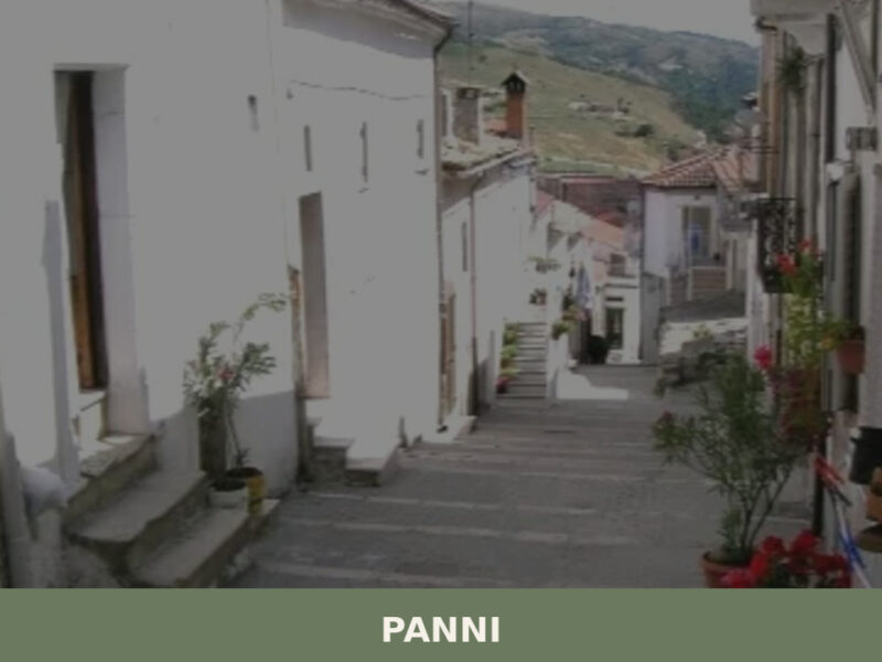
Panni
Panni stands at 801 metres in the Daunian Sub-Apennines, a wind-swept village of 693 people in the province of Foggia. A guide to its history, sights, and food.
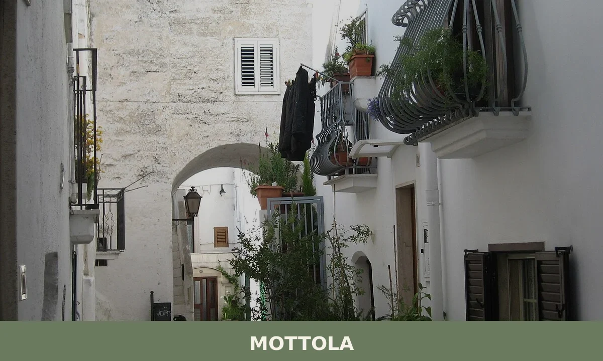
Mottola
A hillside comune of 15,125 residents in Taranto province, Mottola rises 387 metres above sea level with panoramic views of the Ionian Sea and a landscape of ravines dotted with rupestrian churches and Byzantine caves.
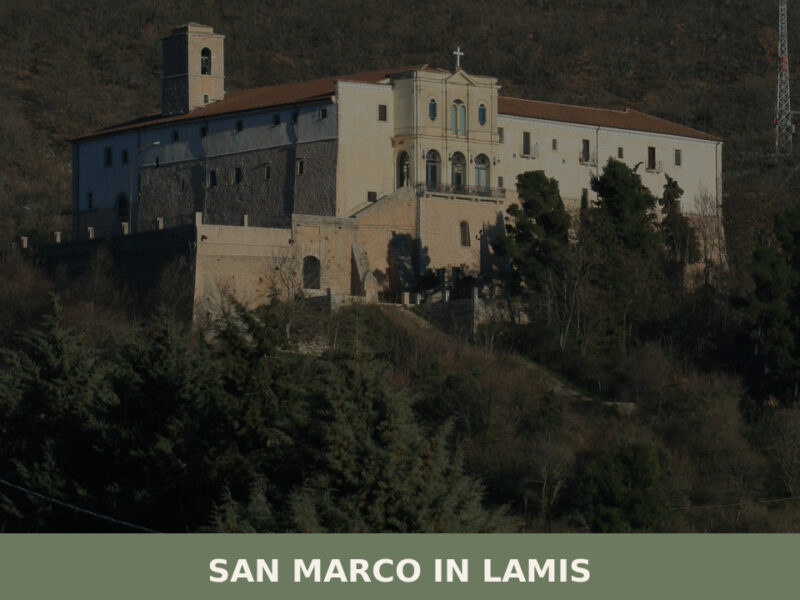
San Marco in Lamis
A highland town on the western Gargano, San Marco in Lamis holds ancient monasteries, a dramatic Good Friday fire procession, and the quiet intensity of inland Puglia.
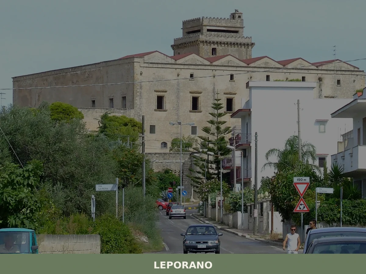
Leporano
Discover what to see in Leporano, Puglia: Aragonese tower, Ionian coastline, local food and practical tips for visiting this Taranto province municipality.
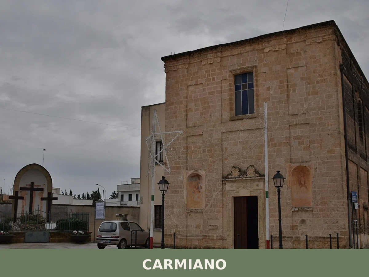
Carmiano
A comune of 11,660 souls in the northern Lecce province, Carmiano anchors its identity in medieval palaces, baroque altars, and the veneration of Maria Immacolata.
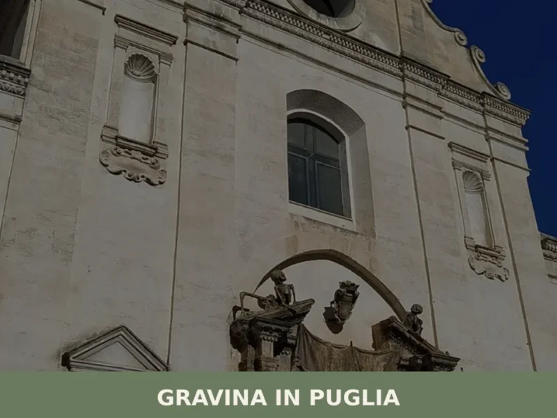
Gravina in Puglia
In 1092, Humfred of Hauteville confirmed the privileges of the cathedral dedicated to Santa Maria Assunta, a document that fixes in the historical record the ecclesiastical rank of Gravina in Puglia well before Frederick II chose it as an imperial hunting reserve. Today, anyone walking along the edge of the gravina — the karstic canyon […]


🏡 Know Acquarica del Capo better than we do?
If you’re a local or have been there, your knowledge matters: add what’s missing or fix a detail on this page.