Baiso
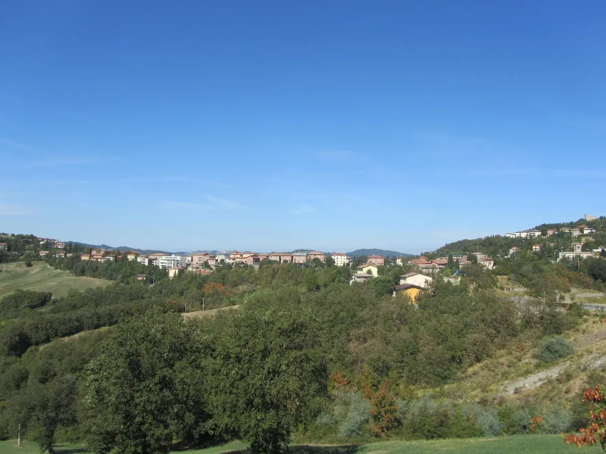
The ridge road into Baiso levels out at 542 m (1,778 ft) above the Po Plain and delivers a view across the Apennine foothills that is measurable rather than vague: the valley floors of the Secchia drainage basin lie several hundred metres below, and the profiles of Carpineti and Castellarano mark the horizon to the […]
Discover Baiso
The ridge road into Baiso levels out at 542 m (1,778 ft) above the Po Plain and delivers a view across the Apennine foothills that is measurable rather than vague: the valley floors of the Secchia drainage basin lie several hundred metres below, and the profiles of Carpineti and Castellarano mark the horizon to the south and east.
The municipality covers five distinct hamlets — Debbia, Levizzano, San Cassiano, San Romano and Visignolo — each separated by working farmland and secondary roads that demand attention from the driver.
Deciding what to see in Baiso is easier once you understand its structure: a hilltop chief village of 3,347 inhabitants, a Cittaslow membership that governs the pace of commercial and civic life, and a position roughly 20 km (12.4 mi) south of Reggio Emilia that makes it accessible without being overrun.
Visitors to Baiso find a compact historic centre, a calendar anchored to the feast of San Lorenzo on 10 August, and a food culture rooted in Apennine ingredients rather than the cured-meat abundance of the plain below.
The Baiso highlights include its hilltop panoramas, the network of hamlets, and a local gastronomy worth several hours of deliberate attention.
History of Baiso
The name Baiso appears in medieval documents relating to the feudal organisation of the Reggio Emilia Apennines, a zone contested over centuries between the Este family, the bishops of Reggio, and a succession of local noble houses who used the high ground to control passage between the Po Valley and Tuscany.
The hilltop position of the chief village was not accidental: controlling the ridge meant controlling the movement of goods, livestock, and armies between the plain and the mountain passes further south.
The territory that now forms the municipality was administratively reorganised multiple times before taking its present boundaries within the Province of Reggio Emilia.
The surrounding area shares its medieval feudal history with several other Apennine communities in Emilia-Romagna.
To the north, the municipality of Castellarano formed part of the same network of fortified settlements, while to the west, Carpineti held greater strategic importance as a centre of Countess Matilda of Canossa’s territorial power in the eleventh and twelfth centuries.
The bordering municipality of Toano and the territory around Prignano sulla Secchia completed the ring of communities that defined the mediaeval landscape around Baiso.
Each of these neighbours developed its own relationship with the feudal powers of the region, producing a patchwork of local loyalties that shaped the physical form of every settlement in the zone.
In the modern period, Baiso followed the trajectory common to many Apennine municipalities in Emilia-Romagna: gradual depopulation of the higher hamlets through the twentieth century as residents moved toward the valley floors and the urban centres of Reggio Emilia and Modena.
The current population of 3,347 reflects that consolidation, with the five hamlets of Debbia, Levizzano, San Cassiano, San Romano and Visignolo retaining residential and agricultural functions while the main village holds the civic and commercial core.
Membership in Cittaslow — the international network of towns committed to a deliberate approach to urban planning, food production and quality of life — formalised a set of standards that now distinguishes Baiso from municipalities with no such certification.
What to See in Baiso, Emilia-Romagna: Top Attractions
The Historic Centre of Baiso Village
The streets of the chief village follow the ridge line, narrowing and widening according to the underlying rock rather than any planned grid.
Stone and render facades line the main thoroughfare, and the elevation of 542 m (1,778 ft) gives the upper end of the village unobstructed lines of sight toward the Reggio Emilia plain to the north.
Standing here on a clear morning, the city of Reggio Emilia is visible as a grey smudge 20 km (12.4 mi) away.
The official municipal website of Baiso provides updated information on local events and public services for visitors planning a stay.
Walk the length of the main street before exploring the side lanes that drop sharply toward the valley on either flank.
The Hamlet of Debbia
Debbia occupies a secondary spur off the main ridge, at a slightly lower elevation than the chief village, and its core consists of a tight grouping of stone buildings that served an agricultural community dependent on mixed arable and pastoral farming.
The hamlet sits within the broader municipal territory that borders Castellarano to the east, placing it in a zone where the Secchia river system has cut deep into the Apennine sandstone over millennia.
Visitors who drive out to Debbia from the main village cover approximately 4 km (2.5 mi) on a road that offers continuous views over the valley.
The best light for photography falls in the late afternoon, when the western sun catches the stone facades directly.
The Hamlet of Levizzano and the Surrounding Countryside
Levizzano extends along a subsidiary ridge and retains visible evidence of its role as a working agricultural settlement, with outbuildings, stone walls and field terracing that indicate centuries of human modification of the hillside.
The surrounding countryside between Levizzano and the hamlet of San Romano passes through mixed woodland and open pasture, terrain that supports the sheep and cattle whose milk and meat appear in local cooking.
A circular walking route connecting Levizzano with the main village covers roughly 8 km (5 mi) and includes an elevation change of approximately 100 m (328 ft), making it accessible to reasonably fit walkers. Spring — when the grass is green and the Apennine wildflowers are in bloom — is the most rewarding season for this walk.
San Cassiano and San Romano Hamlets
San Cassiano and San Romano lie on the western portion of the municipal territory, where the land begins its descent toward the Toano border.
Both hamlets preserve their original dedication in their names — santi (saints) whose cults were common across the Apennine communities of medieval Emilia-Romagna as a way of marking local churches and their surrounding settlements.
San Romano in particular sits at a crossroads position that once made it a staging point for traffic between the ridge and the lower valleys. The church buildings in both hamlets, modest in scale, represent the continuity of rural parish life across many centuries.
Visiting both in a single half-day excursion from the main village is straightforward by car.
The Visignolo Area and the Municipal Borders
Visignolo marks the southeastern reach of the Baiso municipal territory, close to the border with Prignano sulla Secchia, and the terrain here becomes noticeably more broken, with narrow lanes and steep drops characteristic of the inner Apennine zone.
The hamlet stands at a point where the municipality touches four of its five neighbours — Carpineti, Castellarano, Prignano sulla Secchia and Toano — making it geographically central to understanding how Baiso fits into the broader Reggio Emilia Apennines.
Those exploring what to see in Baiso with a full day available will find the drive to Visignolo adds a dimension that the chief village alone cannot provide.
Early autumn, when the woodland turns and the air clears after summer, gives the sharpest visibility across the surrounding ridges.
Local Food and Typical Products of Baiso
The food culture of the Reggio Emilia Apennines draws on an economy that was for most of its history organised around what the mountain terrain could produce: rye, chestnuts, sheep and cattle, foraged herbs, and the pigs kept in every rural household.
Baiso, sitting at 542 m (1,778 ft) on a ridge between the Po Plain and the higher Apennine passes, occupies a middle zone where the cooking reflects both the plain’s preference for fresh egg pasta and the mountain’s reliance on harder, longer-keeping preparations.
The Cittaslow membership of the municipality aligns with a broader regional effort to document and maintain these production traditions rather than allow them to disappear under the pressure of industrial food distribution.
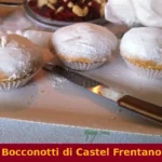
The pasta traditions of the Reggio Emilia hills produce several preparations worth seeking out in local trattorie (family-run restaurants, typically modest in décor and fixed in their menus).
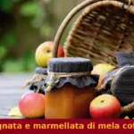
Tortelli di erbette — pasta parcels filled with ricotta and cooked wild greens, served with butter and Parmigiano-Reggiano — represents the most direct expression of the landscape on a plate: the greens come from the fields and verges around the hamlets, the ricotta from local dairies, the cheese from the certified production zone that includes this province.
Tagliatelle al ragù here uses the slower-raised beef and pork of the hill farms rather than the intensively produced meat of the plain, and the cooking time for the sauce reflects that difference in texture.
Gnocco fritto — pillows of fried dough, served with cured meats — appears as an appetiser in most local establishments and requires no cutlery to eat properly.
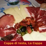
The cured meat tradition of the broader Reggio Emilia area extends into the Baiso territory through products that carry European geographical indications.
Prosciutto di Parma (PDO) and Mortadella Bologna (PGI) are both available in local shops and appear on most restaurant boards, reflecting the position of Baiso within the wider Emilia-Romagna food production network.
Parmigiano-Reggiano (PDO) is produced in a zone that includes the Province of Reggio Emilia, and wheels aged at different stages — 12, 24, or 36 months — are sold at varying price points in the area’s food shops and farm outlets.
The texture and flavour profile of the 36-month wheel, granular and sharp, differs substantially from the younger versions and repays the price difference for those with a serious interest in the product.
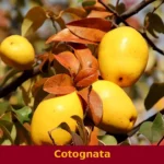
Local markets and farm shops in the Baiso area tend to concentrate their activity in autumn, when the chestnut harvest brings additional produce to the stalls.
Chestnuts from the Reggio Emilia Apennines are used in flour form for polenta-style preparations and in whole roasted form as a street food at autumn fairs.
September and October are the most productive months for finding seasonal produce directly from producers in and around the hamlets of Levizzano, San Romano and Debbia.
Festivals, Events and Traditions of Baiso
The civic and religious calendar of Baiso centres on the feast of San Lorenzo, the patron saint of the municipality, celebrated on 10 August.
The date falls in the middle of the Perseids meteor shower, a coincidence that in Italian popular tradition connects the shooting stars to the tears or sparks of San Lorenzo’s martyrdom — a folk belief that has persisted across the Apennine communities regardless of its astronomical explanation.
The feast in Baiso follows the pattern common to Emilia-Romagna hilltop villages: a religious procession through the main streets, a Mass in the parish church, and an evening gathering in the village square that continues with music and communal eating.
The August date places the feast in the warmest part of the year, when the village square is usable after dark without discomfort.
Beyond the patron feast, the Baiso calendar reflects the broader agricultural rhythm of the Reggio Emilia Apennines.
Autumn brings the chestnut-related events that are common across the hill municipalities of this province, typically organised as sagre — local food festivals built around a single seasonal ingredient — in September and October.
The exact programme varies from year to year, and visitors should check with the for the current calendar before planning a trip specifically around these events. The Cittaslow membership adds a framework of slow-food and local-economy events that run throughout the year, though these are generally lower-key than the August patron feast and the autumn harvest gatherings.
When to Visit Baiso, Italy and How to Get There
The best time to visit Baiso depends on what you are prioritising.
For the patron feast and the warmth needed to make the most of the outdoor village spaces, the first two weeks of August are the obvious choice — though August also brings Italian holidaymakers to the Apennine villages, so accommodation in the area should be booked well in advance.
Spring, from April through to early June, offers reliable temperatures between 10°C and 22°C (50°F and 72°F), green hillsides, and light crowds, making it the most practical period for walking the routes between the hamlets.
Autumn — September and October specifically — suits those whose primary interest is food, since the chestnut harvest and the associated markets are active and the air is clear after the summer heat.
Winter brings cold and occasional snow above 500 m (1,640 ft), which the ridge position of Baiso at 542 m (1,778 ft) makes a real consideration rather than a theoretical one.
Getting to Baiso from Reggio Emilia is the most straightforward route for visitors arriving by public transport or car.
The city of Reggio Emilia lies approximately 20 km (12.4 mi) to the north and is served by the main Milan–Bologna high-speed rail line, with frequent services from both cities.
From Reggio Emilia railway station, regional bus services operated by Trenitalia and local transport providers connect to the Apennine municipalities, though schedules to Baiso require verification as they are less frequent than urban services.
By car from Reggio Emilia, take the SS63 southbound toward the Apennine passes, then follow provincial roads toward Baiso — the total driving time is approximately 35 to 45 minutes depending on traffic through the valley towns.
From Bologna, located about 60 km (37 mi) to the east, the drive takes roughly one hour via the A1 motorway to the Reggio Emilia exit, followed by the SS63 south.
International visitors arriving by air will find the Aeroporto di Bologna Guglielmo Marconi the nearest major airport, at roughly 80 km (49.7 mi) from Baiso. If you arrive by car, parking is available in the village without charge during most of the year.
English is spoken with limited frequency in smaller shops and farm outlets, so carrying some euros in cash and a translation app will make routine transactions easier.
Baiso works well as a day trip from Reggio Emilia, with enough time to visit the main village, drive out to two or three hamlets, and have lunch at a local trattoria before returning to the city.
Those combining it with a broader Apennine itinerary might consider pairing it with a visit to Grizzana Morandi, another Emilia-Romagna hilltop municipality that shares a similar Apennine character and can be reached via the Bologna side of the mountains.
For travellers entering Emilia-Romagna from the west, the walled city of Carpaneto Piacentino in the Province of Piacenza offers a contrasting lowland perspective before the road rises into the Reggio Emilia hills.
Those curious about what to see in Baiso as part of a longer regional route may find it useful to begin or end their trip in Bologna, from which the Reggio Emilia Apennines are reachable within an hour by road and the range of accommodation, transport connections and services is substantially broader than in any of the hill municipalities.
Getting there
Photo Gallery of Baiso
Do you have photos of Baiso?
Share your photos of the village: the best ones will be added to the official gallery, with your credit.
Send your photosIn Emilia-Romagna More villages to discover
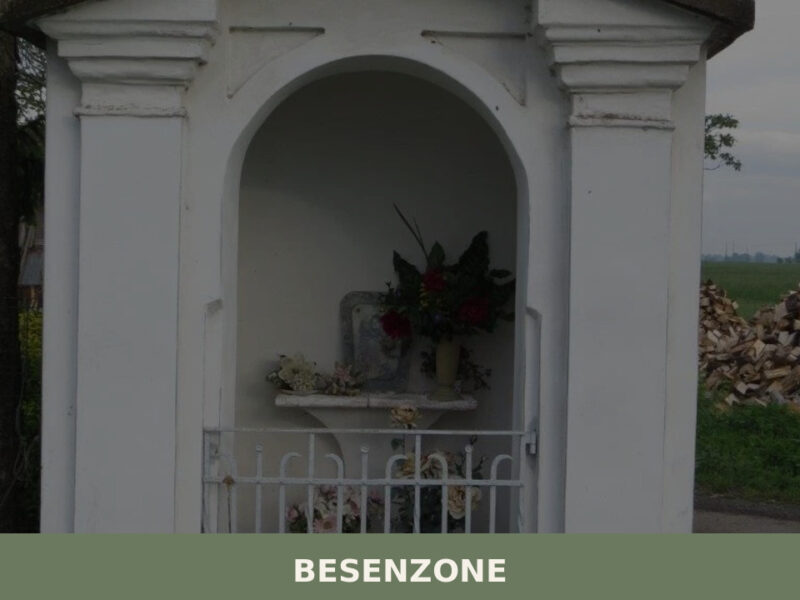
Besenzone
A commune of 916 inhabitants on the Piacenza lowlands, Besenzone holds parish churches, a roadside mistadello, and the quiet geometry of the Po plain.
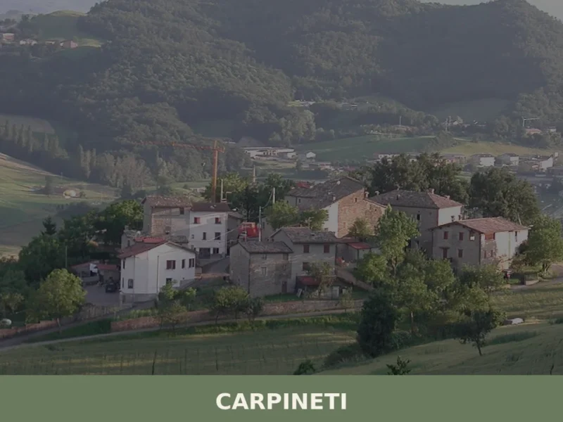
Carpineti
What to see in Carpineti: from the Rocca dei Canossa to the traditional flavors of the Apennines. Find out how to get there and plan your visit.
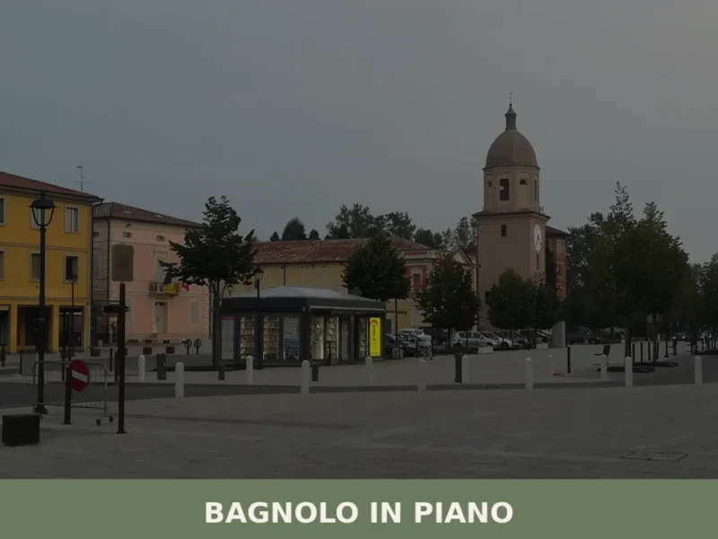
Bagnolo in Piano
What to see in Bagnolo in Piano, Emilia-Romagna, Italy: explore the medieval Torrazzo tower, the Pieve Rossa church, and local Po Valley cuisine. Discover now.


📝 Incorrect information or updates?
Help us keep the Baiso page accurate and up to date.