


Belmonte Castello
What to see in Belmonte Castello: discover the 5 main attractions of this Lazio village, from the medieval castle to the Church of San Salvatore. Plan your visit.
Discover Belmonte Castello
The valley floor between Atina and Sant’Elia Fiumerapido holds a particular kind of quiet in the early morning, before the light climbs the hillsides of the Province of Frosinone.
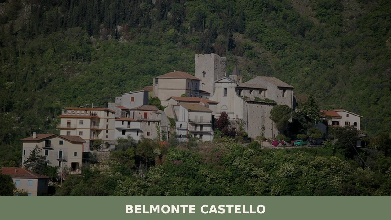
At 369 m (1,211 ft) above sea level, the stone fabric of Belmonte Castello catches the first sun from the southeast while the surrounding ridge lines remain in shade.
The village counts 781 inhabitants and borders four municipalities: Atina, Sant’Elia Fiumerapido, Terelle, and Villa Latina, each separated by slopes and dry-stone field boundaries.
Deciding what to see in Belmonte Castello begins with understanding its position: 120 km (75 mi) southeast of Rome and 40 km (25 mi) east of Frosinone, the village sits inside the Comino valley corridor, a geographical feature that conditioned its history, its food culture, and the form of its streets.
Visitors to Belmonte Castello find a compact hill settlement where the medieval street pattern survives largely intact, where the parish dedicated to the patron saint Nicola di Mira anchors the calendar, and where the surrounding agricultural land still produces the ingredients that define the local table.
History of Belmonte Castello
The name Belmonte Castello combines two Latin-derived Italian words: belmonte, from bellus mons meaning fair hill or good hill, and castello, the fortified settlement that once occupied its highest point.
The pairing of these two terms in the village’s name suggests a foundation or renaming during the medieval period, when the construction of defensive towers and walls on elevated ground was standard practice throughout central Lazio.
The Province of Frosinone, historically known as Ciociaria, was a contested territory between the Papal States and the Kingdom of Naples, and many of its hill settlements were established or reinforced precisely because they offered defensible positions over the valleys below.
During the medieval centuries, the Comino valley — the geographical frame within which Belmonte Castello sits — was crossed by routes connecting the interior of Lazio with Campania.
Control of these routes mattered to local feudal lords, and the castle that gives the village its second name served as much as an administrative post as a military one.
Neighboring Atina, one of Belmonte Castello’s four bordering municipalities, was itself a significant feudal center in this period, and the interplay between these valley settlements shaped land ownership and parish boundaries that persist in recognizable form today.
The village’s categorization as a borgo di collina — a hill village, as opposed to a mountain or coastal settlement — reflects its intermediate elevation and its historical function as an agricultural and administrative node rather than a purely military stronghold.
By the nineteenth century, Belmonte Castello had passed through successive administrative reorganizations as the Papal States were incorporated into the unified Kingdom of Italy and later the Italian Republic.
The current municipal structure, which places the village within the Province of Frosinone in the Lazio region, dates from the post-unification period.
The population of 781 inhabitants places Belmonte Castello among the smaller comuni of the province, a size that reflects centuries of emigration typical of inland Lazio’s hill villages, particularly during the economic pressures of the late nineteenth and early twentieth centuries. The physical layout of the village — a core of dense stone buildings at the highest point, with more recent construction spreading along the access roads at lower elevations — records these different periods of growth and contraction directly in its built fabric.
What to see in Belmonte Castello, Lazio: top attractions
The Medieval Castle Remains
The fortified structure that gives the village its name occupies the highest ground within the settlement, and its remaining walls are built from the local limestone that surfaces throughout the Comino valley hillsides.
The castle’s strategic placement at 369 m (1,211 ft) provided clear sightlines over the valley floor toward Atina to the west and Sant’Elia Fiumerapido to the north.
Visitors who climb to the castle’s perimeter can read the construction in the wall fabric itself: different bonding patterns mark medieval work from later repairs.
The access path from the historic center takes roughly ten to fifteen minutes on foot and gains approximately 30 m (98 ft) of elevation from the main square.
The Parish Church of San Nicola di Mira
The parish church dedicated to San Nicola di Mira — the bishop of Myra whose feast the village celebrates on 6 December each year — stands as the most consistently maintained historic structure in Belmonte Castello.
Its façade faces the central public space of the village and the interior preserves devotional furnishings accumulated across several centuries of continuous use. The church functions as the focal point of the December feast day, when the 781-strong community gathers for the liturgical and civic celebrations associated with the patron saint.
Outside the feast period, the building is accessible during morning hours and before evening services.
The Historic Center and Street Network
The oldest part of Belmonte Castello preserves a street pattern that follows the contours of the hill rather than any imposed grid, producing a sequence of narrow lanes and small open spaces that compress and expand according to the gradient beneath them. The stone used in construction here is local limestone, laid in courses that vary in regularity depending on the period of building. Walking the circuit of the historic center from the lower entry point to the castle area covers approximately 600 m (1,969 ft) of distance but involves a significant change in elevation.
The best light for observing the texture of the walls falls in the late afternoon, when low sun rakes across the stone faces from the west.
The Views Toward the Comino Valley and Bordering Municipalities
From the upper part of Belmonte Castello, the visual range extends across the Comino valley floor to the four bordering municipalities: Atina, Sant’Elia Fiumerapido, Terelle, and Villa Latina.
Each occupies a distinct position in the surrounding landscape — Atina sits at approximately 486 m (1,594 ft) to the west, while Terelle occupies a considerably higher ridge to the northeast.
The view from the castle area provides a direct way to understand the territorial logic of the medieval settlement system, where each village on its hill monitored the movements in the shared valley below. Spring and early autumn offer the clearest visibility, before summer haze builds over the valley floor.
The Agricultural Landscape and Surrounding Countryside
The land immediately surrounding Belmonte Castello within the Comino valley consists of mixed agricultural plots: olive groves, kitchen gardens, and small-scale cereal cultivation on the gentler slopes, with scrub and woodland beginning on steeper gradients above 500 m (1,640 ft). The pattern of dry-stone walls dividing these plots is itself a form of material history, requiring generations of labor to construct and maintain.
Walking the secondary roads and unpaved tracks that connect Belmonte Castello with its neighboring municipalities covers distances ranging from 4 km (2.5 mi) to Villa Latina up to roughly 8 km (5 mi) toward Terelle.
Footwear with ankle support is appropriate for all but the paved road sections.
Local food and typical products of Belmonte Castello
The food culture of Belmonte Castello belongs to the broader culinary tradition of the Ciociaria, the inland Lazio territory that stretches across the Province of Frosinone between the Liri and Sacco river valleys.
This is a kitchen built on what the land produces at altitude: pulses, cured pork, sheep’s milk cheese, and pasta made from durum wheat semolina or egg-enriched dough depending on the season and the dish.
The Comino valley’s position between Lazio and Campania has historically allowed the circulation of ingredients and techniques from both directions, without producing a hybrid cuisine so much as a selective local tradition that draws on both.
Among the dishes most associated with this part of the Frosinone province, pasta e fagioli — a thick soup of borlotti beans cooked with short pasta, olive oil, garlic, and rosemary — functions as both a daily staple and a celebratory dish depending on the occasion and the richness of the broth used as its base.
Polenta con spuntature brings together coarse-ground cornmeal with braised pork ribs slow-cooked in a tomato sauce seasoned with dried chili and bay leaf, a combination that concentrates the cooking process and produces a dense, filling result suited to cold months.
Sheep’s milk cheese, whether fresh or aged for a minimum of 60 days into a hard, crumbling form, appears on every table in the area, cut in wedges and served alongside cured meats or grated over pasta.
Local olive oil, cold-pressed from olives grown on the valley slopes, is used without restraint in cooking and as a condiment.
The Comino valley produces ingredients that appear throughout the culinary traditions of its municipalities, and what to see in Belmonte Castello includes the agricultural infrastructure — small-scale olive groves, vegetable plots, and grazing land — that supplies these raw materials.
No formally certified product with PDO or PGI designation specific to Belmonte Castello appears in the available official records, but the broader Ciociaria food tradition to which the village belongs has been documented by regional food authorities and the Touring Club Italiano as a distinct and consistent culinary area within Lazio.
The most practical point of contact with local production for visitors is the weekly market and, in December, the period immediately surrounding the feast of San Nicola on 6 December, when food stalls and small producers set up near the village center.
Agri-food shops in Atina, 40 km (25 mi) west of Frosinone and the nearest market town of any scale, stock a wider range of Comino valley products including cheese, salumi, and locally pressed oil available for purchase by visitors traveling by car.
Festivals, events and traditions of Belmonte Castello
The central event in the village’s annual calendar is the feast of San Nicola di Mira on 6 December, the day dedicated to the patron saint of Belmonte Castello.
The feast follows the form typical of Ciociaria hill villages: a solemn morning Mass in the parish church is followed by a procession through the main streets of the historic center, during which the statue of the saint is carried by members of the community.
The December timing means the celebration occurs in cold, often clear weather, and the narrow lanes of the upper village funnel the procession closely between stone walls before it opens onto the wider space near the church façade.
The feast of San Nicola also functions as an informal gathering point for the wider community, including those who have left the village over the decades.
Food stands and temporary stalls selling local products typically operate in the vicinity of the main square during the feast period, offering a concentrated version of what the local food tradition produces across the year.
Other recurring local traditions tied to the agricultural calendar — including the preparation and preservation of pork products in January, a practice documented across the Frosinone hill villages — remain part of domestic life in Belmonte Castello even where they no longer take a fully public form.
When to visit Belmonte Castello, Italy and how to get there
The best time to visit Belmonte Castello, Lazio, Italy falls in two windows: late spring from mid-April through June, when temperatures at 369 m (1,211 ft) are comfortable for walking and the valley vegetation is at its most productive, and early autumn from September through October, when harvest activity brings the surrounding agricultural land to its most visible state and temperatures remain mild without the heat that builds over the Comino valley floor in July and August.
The feast of San Nicola on 6 December offers a third occasion for those interested in the village’s civic and religious calendar, though December temperatures regularly fall below 5°C (41°F) and road conditions on the approach roads can be affected by frost.
Belmonte Castello lies 120 km (75 mi) southeast of Rome, making it viable as a day trip from the capital by car, with a journey time of approximately 1 hour 45 minutes to 2 hours depending on traffic on the A1 motorway (Autostrada del Sole).
Travelers from Rome should take the A1 southbound and exit at Cassino, then follow the SS630 road into the Comino valley toward Atina, from which Belmonte Castello is approximately 8 km (5 mi) further east.
The nearest major railway station is Cassino, served by Trenitalia on the Rome–Naples line, approximately 25 km (15.5 mi) from the village; from Cassino, reaching Belmonte Castello requires a local taxi or a rented vehicle as no direct public bus connection operates on this route.
The nearest international airport is Rome Fiumicino (Leonardo da Vinci), 150 km (93 mi) to the northwest, with a transfer time of approximately 2 hours by car. For visitors arriving from Frosinone, the provincial capital 40 km (25 mi) to the west, the drive follows the SS82 and takes roughly 45 minutes.
International visitors should carry euro cash, as card payment acceptance in the village’s smaller shops and bars is not guaranteed, and English is rarely spoken outside larger towns in this part of the province.
Those planning to explore beyond Belmonte Castello can extend their route to include other documented hill villages in Lazio.
The village of Bagnoregio, located in northern Lazio’s Viterbo province, represents a different type of Lazio hill settlement — built on tuff rather than limestone — and can be reached in under two hours from Belmonte Castello for those combining multiple stops across the region.
Travelers interested in the lake district of central Lazio might also consider Colle di Tora, a village on the Turano lake shore in the Rieti province, which offers a contrasting landscape of water and ridge to the Comino valley’s dry agricultural terrain.
Where to stay near Belmonte Castello
Accommodation directly within Belmonte Castello is limited given the village’s population of 781 inhabitants, and the most practical base for visitors is the nearby town of Atina, approximately 8 km (5 mi) to the west, where several agriturismi — farm-stay properties combining accommodation with access to the surrounding agricultural land — and small hotels operate.
The broader Belmonte Castello municipality area is covered by the Frosinone provincial tourism network, and the official municipal website lists current contact details for local accommodation providers.
Visitors requiring more extensive hotel infrastructure should plan to stay in Cassino, 25 km (15.5 mi) to the south, where chain and independent hotels serve both the motorway corridor and the surrounding valley.
Frequently asked questions about Belmonte Castello
What is the best time to visit Belmonte Castello?
Spring (April–May) and early autumn (September–October) offer the clearest views across the Comino valley, before summer haze settles over the valley floor. Summer is warm but manageable at 369 m elevation. The most atmospheric date on the village calendar is 6 December, the feast of patron saint Nicola di Mira, when the community gathers around the parish church for liturgical and civic celebrations. Winter visits around the feast day combine the religious event with the cold-season food culture — polenta, braised pork, aged sheep's milk cheese — that defines the local table at its most traditional.
What are the historical origins of Belmonte Castello?
The name combines bellus mons (fair hill) with castello, pointing to a medieval foundation or renaming when fortified hilltop settlements were standard across central Lazio. The village sits in the Comino valley, a corridor historically contested between the Papal States and the Kingdom of Naples, where local feudal lords controlled routes linking inland Lazio with Campania. The neighboring center of Atina was a significant feudal power in the area. Following Italian unification, Belmonte Castello was incorporated into the Province of Frosinone, the administrative structure it retains today.
What to see in Belmonte Castello? Main monuments and landmarks
The three core sites are the medieval castle remains, the Parish Church of San Nicola di Mira, and the historic street network. The castle occupies the highest ground, reached by a 10–15 minute walk from the main square gaining roughly 30 m in elevation; its limestone walls show distinct medieval and later repair phases. The parish church faces the central public space and preserves interior furnishings from several centuries of use; it is accessible during morning hours and before evening services. The historic center's contour-following lanes cover about 600 m from the lower entry to the castle area.
What are the main natural or scenic attractions of Belmonte Castello?
The immediate surroundings consist of mixed agricultural land — olive groves, vegetable plots, and small cereal fields on gentler slopes — bordered by dry-stone walls that represent centuries of accumulated labor. Secondary roads and unpaved tracks connect Belmonte Castello to its four neighboring municipalities: approximately 4 km to Villa Latina and around 8 km toward Terelle. Woodland and scrub take over on steeper gradients above 500 m. Ankle-support footwear is recommended for all unpaved sections. Spring and early autumn provide the clearest visibility across the Comino valley floor.
Where to take the best photos in Belmonte Castello?
The upper perimeter of the medieval castle offers unobstructed sightlines across the Comino valley toward Atina to the west and Sant'Elia Fiumerapido to the north, with Terelle visible on a higher ridge to the northeast — the best panoramic position in the village. For architectural detail, the historic center's limestone lanes photograph best in late afternoon, when low westerly light rakes across the stone wall faces and emphasizes their texture. Spring and early autumn deliver the clearest atmospheric conditions for valley shots.
Are there museums, churches or historic buildings to visit in Belmonte Castello?
The principal historic building open to visitors is the Parish Church of San Nicola di Mira, which faces the village's central public space. The interior preserves devotional furnishings accumulated over several centuries of continuous use. Access is available during morning hours and before evening services; entry is free. The medieval castle remains at the summit of the hill are reachable on foot and readable in their wall fabric, though no formal museum or ticketed site operates within the village based on available records.
What can you do in Belmonte Castello? Activities and experiences
The village suits walkers and food-focused visitors above all else. The circuit of the historic center from the lower entry to the castle covers roughly 600 m with meaningful elevation gain. Unpaved tracks connect Belmonte Castello to Villa Latina (about 4 km) and Terelle (about 8 km), suitable for hiking with appropriate footwear. The 6 December feast of San Nicola di Mira provides the main event of the year. Food exploration in the area centers on Ciociaria traditions: pasta e fagioli, polenta con spuntature, local sheep's milk cheese, and cold-pressed olive oil from valley slopes.
Who is Belmonte Castello suitable for? Families, couples, hikers, solo travelers?
Belmonte Castello suits visitors who prefer quiet, authentic hill villages over busy tourist destinations. Couples and solo travelers drawn to slow travel, medieval townscapes, and regional food culture will find the most to appreciate here. Walkers and light hikers benefit from the network of unpaved tracks connecting the village to neighboring municipalities across the Comino valley. Families comfortable with uneven historic-center streets and moderate gradients will find the castle walk and valley views rewarding. The village's small scale — around 678 to 781 inhabitants — means it functions best as part of a broader Ciociaria itinerary rather than a standalone destination.
What to eat in Belmonte Castello? Local products and specialties
The local table belongs to the Ciociaria tradition of the Province of Frosinone. Pasta e fagioli — thick borlotti bean soup with short pasta, olive oil, garlic, and rosemary — is both everyday staple and celebratory dish. Polenta con spuntature pairs coarse cornmeal with braised pork ribs slow-cooked in tomato sauce with dried chili and bay leaf, a cold-weather staple. Sheep's milk cheese, fresh or aged at least 60 days into a hard crumbling form, accompanies cured meats or is grated over pasta. Local cold-pressed olive oil from valley slopes is used throughout. No PDO or PGI certification specific to Belmonte Castello is on record.
Nearby Villages near Belmonte Castello
In Lazio More villages to discover
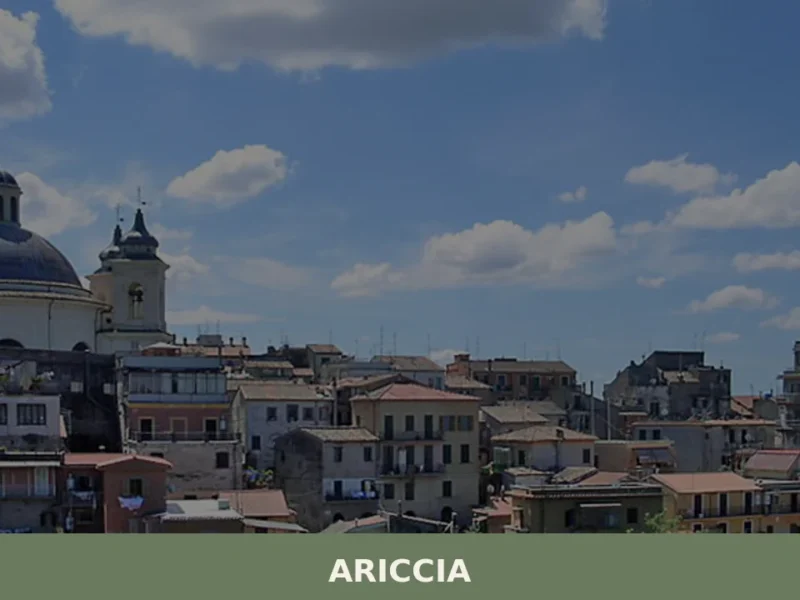
Ariccia
What to see in Ariccia: from Palazzo Chigi to the monumental bridge, discover the 5 top attractions. Plan your visit with this complete travel guide.
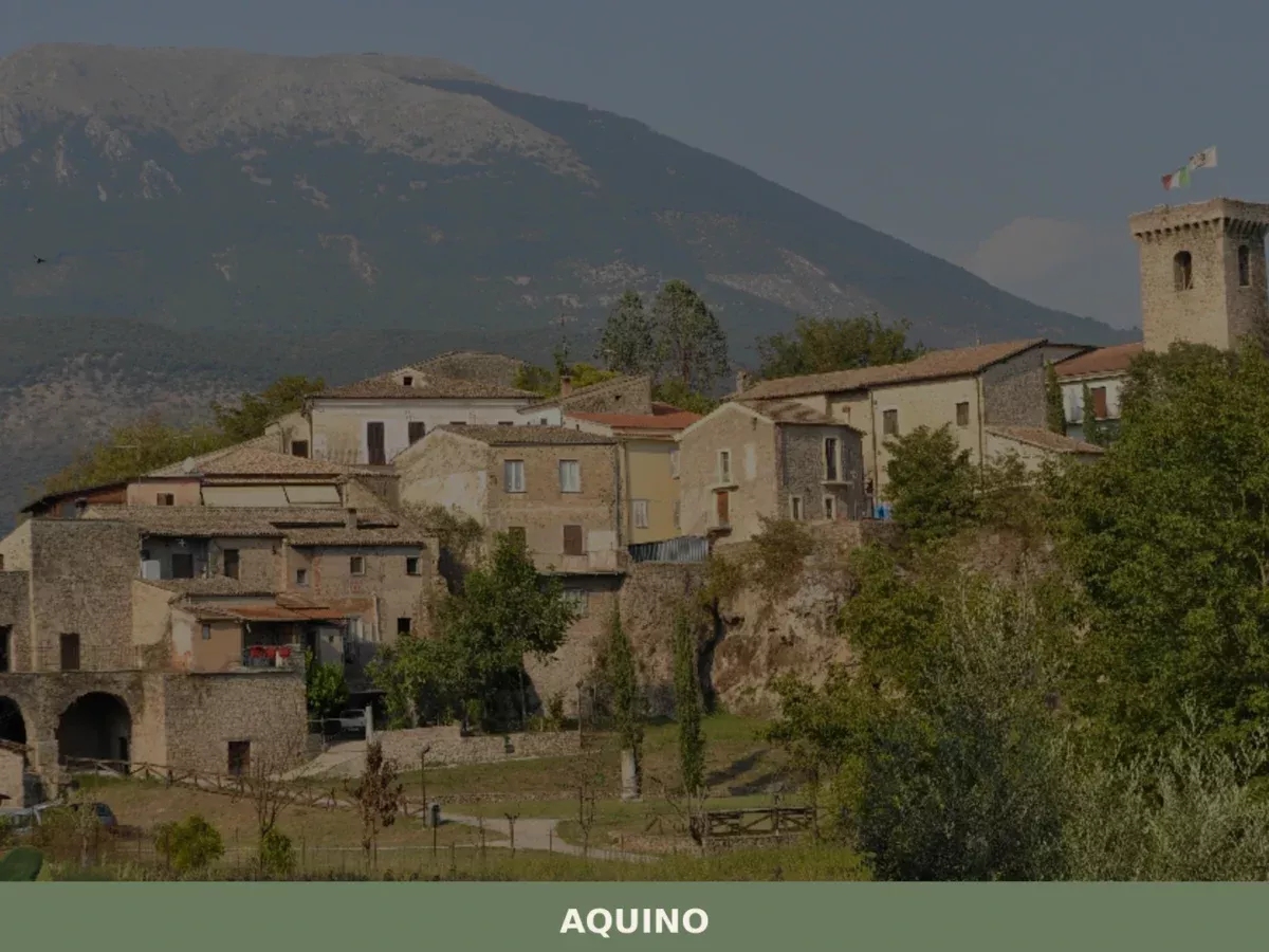
Aquino
What to see in Aquino? Discover 5 must-see historic attractions in this definitive guide to the Lazio village. Plan your visit now!
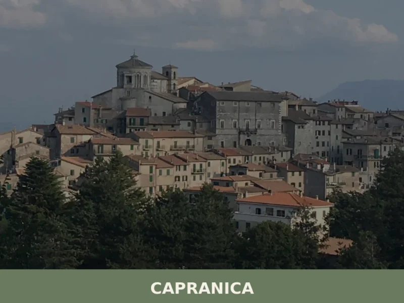
Capranica
Capranica, a Lazio village between history and nature: discover what to see, how to get there and the top places to visit. Plan your trip with this guide.
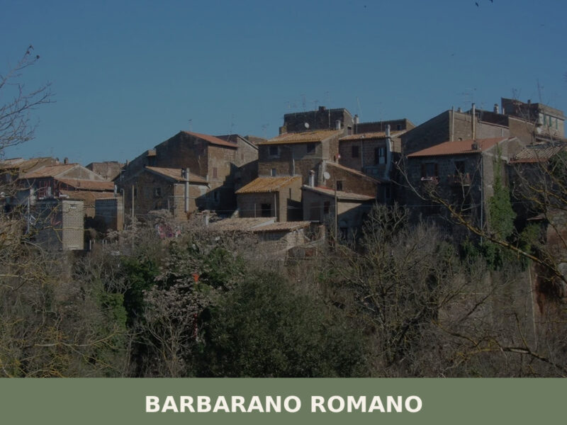
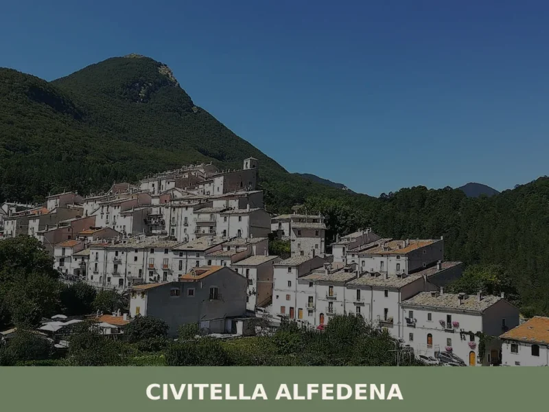
Barbarano Romano
Morning light catches the volcanic tufa in shades of ochre and rust, and the only sound rising from the gorge below is the intermittent call of a jay echoing off ancient rock. Barbarano Romano sits on a plateau in the province of Viterbo, a settlement of barely a thousand souls whose streets still follow the […]
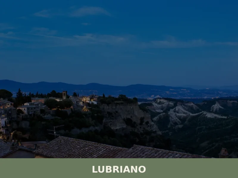
Lubriano
Lubriano has 864 inhabitants and occupies a tuff plateau at 441 metres above sea level, separated from the more famous Civita di Bagnoregio by a calanchi valley nearly two hundred metres deep. The municipal boundary runs along the edge of a gorge that geologists classify as one of the most active in Tuscia for erosion. […]
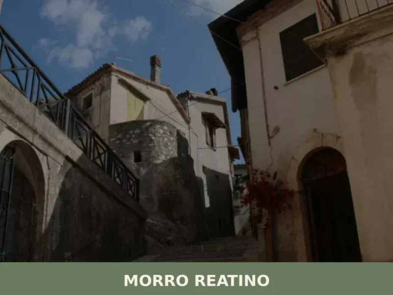
Morro Reatino
What to see in Morro Reatino: a village at 750 m in Rieti with 353 residents. Visit the medieval church of San Lorenzo, the historic centre, and discover PAT-certified guanciale amatriciano.
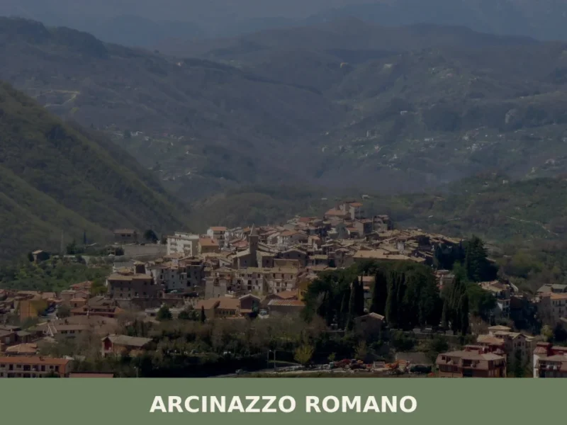
Arcinazzo Romano
What to see in Arcinazzo Romano, Lazio, Italy: explore Trajan's Villa ruins at 831 m altitude, the plateau landscape and local traditions. Discover the complete guide.
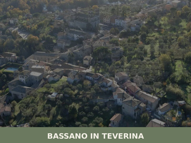
Bassano in Teverina
Standing at 304 metres above sea level, with a population of 1,260, Bassano in Teverina occupies a tuff plateau overlooking the Tiber valley in the province of Viterbo. The village owes the second part of its name to the river that flows just a few kilometres to the east — a geographical reference that distinguishes […]

Boville Ernica
What to see in Boville Ernica, Lazio, Italy: 18 intact medieval towers, a mosaic attributed to Giotto, and pre-Roman walls. Discover the complete travel guide.
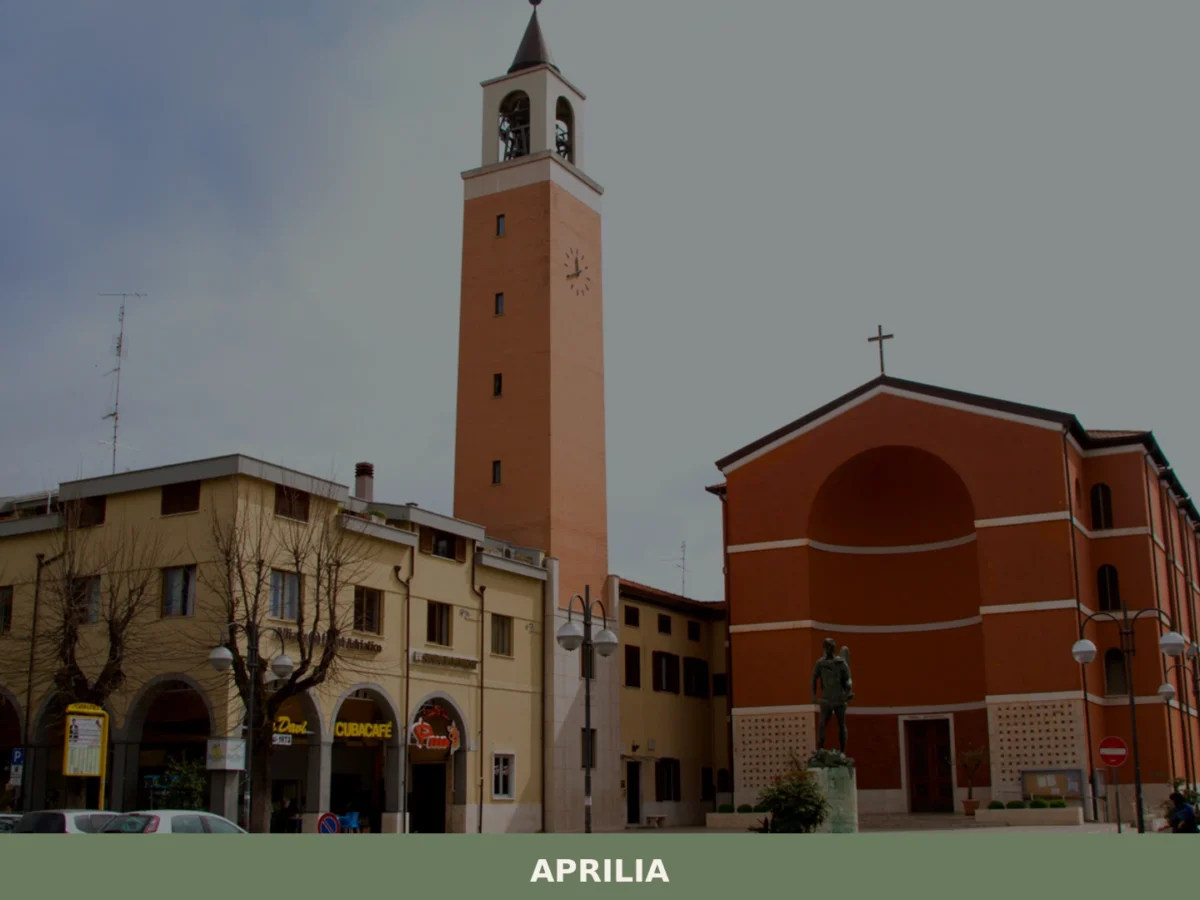
Aprilia
What to see in Aprilia? Explore 5 unique attractions in this Lazio village. Discover its historic origins and hidden gems. Plan your visit now!


🏡 Know Belmonte Castello better than we do?
If you’re a local or have been there, your knowledge matters: add what’s missing or fix a detail on this page.