


Campoli Appennino
What to see in Campoli Appennino, Italy: a medieval tower 25 m tall, Roman aqueduct, and patron feast on 12 May. Discover this Frosinone village at 650 m altitude.
Discover Campoli Appennino
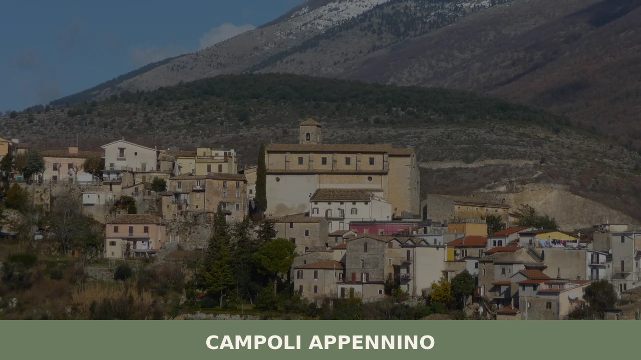
A medieval tower rises 25 metres (82 ft) above the stone fabric of the village, its walls intact above a system of fortifications that once defined the settlement’s boundary.
Below, the municipality of Campoli Appennino — known in the local Campanian dialect as Campere — occupies a position where the Lazio Apennines press close against the borders of Abruzzo, and the territory of the National Park of Abruzzo, Lazio and Molise begins just beyond the municipal edge.
The air carries the altitude — 650 m (2,133 ft) — in every season.
Deciding what to see in Campoli Appennino means engaging with a layered record: Roman engineering, medieval military architecture, and a mountain community of 1,768 inhabitants still gathered around a patron feast observed every 12 May.
Visitors to Campoli Appennino find the village positioned about 100 km (62 mi) east of Rome and 30 km (19 mi) northeast of Frosinone, in the Province of Frosinone, Lazio, Italy. The documented attractions include the medieval tower, a surviving section of walls, and the so-called Aqueduct of Nero — three structures that together make the town a coherent stop on any circuit of the Ciociaria uplands.
History of Campoli Appennino
The dialect name Campere points to an older Campanian linguistic layer that predates the standardised Italian toponym.
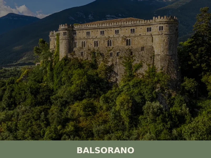
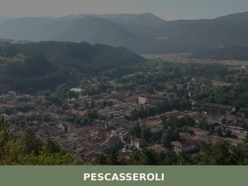
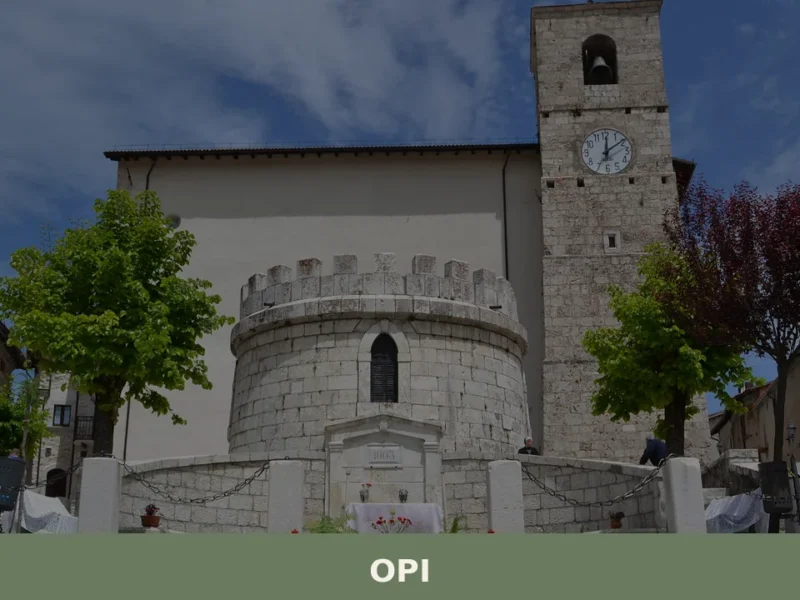
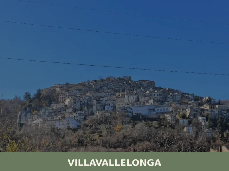
The full name Campoli Appennino reflects both the local place-name and its geographic position along the Apennine ridge system that separates Lazio from Abruzzo. This mountain borderland was historically a contested zone: the municipalities bordering Campoli Appennino today — Alvito, Broccostella, Pescasseroli, Pescosolido, Posta Fibreno, Sora, and Villavallelonga — represent communities whose histories intertwined through shared mountain passes, grazing rights, and ecclesiastical administration under the bishops of Sora and Veroli.
The most visible historical layer is Roman.
The structure locally identified as the Aqueduct of Nero is a piece of hydraulic infrastructure attributed to the imperial period, though its route and precise function within the local territory connect it to the broader Roman network that supplied water across the Lazio hinterland.
The presence of this type of engineering at 650 m (2,133 ft) altitude indicates that the site was considered strategically or economically significant enough to warrant investment in permanent infrastructure during the imperial era.
Roman settlement in the Apennine interior tended to follow river valleys and mountain springs, and Campoli Appennino sits within that ecological logic.
The medieval period added the fortifications that still define the village’s silhouette. The 25-metre (82 ft) tower and the associated circuit of walls were built as defensive architecture during a period when the Apennine territories of Lazio were repeatedly contested between local baronial families, the Papacy, and the Kingdom of Naples.
Control of mountain passes carried military and commercial value, and towers of this type served both as lookout posts and as the last point of resistance in a fortified settlement.
The village today retains its historic core largely intact, with the tower remaining the single tallest structure in the built fabric.
What to see in Campoli Appennino, Lazio: top attractions
The Medieval Tower
The tower stands 25 metres (82 ft) high and constitutes the most structurally prominent element of Campoli Appennino’s historic centre.
Built as part of a defensive system, it belongs to the category of Apennine military towers constructed to monitor approach routes through mountain terrain. The stonework is consistent with medieval construction techniques widespread across the Frosinone uplands: rough-cut local stone laid in thick courses designed to absorb and deflect projectile impact. Standing at its base, a visitor can measure the scale of the original fortified perimeter by following the line of the surviving walls that extend from its flanks.
The tower is best approached on foot through the historic centre, where the narrowing of the lanes signals the proximity of the original defensive nucleus.
The Circuit of Medieval Walls
The walls associated with the tower form a connected system of fortifications that once enclosed the inhabited nucleus of Campoli Appennino.
Sections of this circuit survive in visible condition and allow the visitor to read the original perimeter of the medieval settlement. The thickness of the masonry — built to withstand siege conditions — distinguishes these structures from later decorative or boundary walls. Walking the outer edge of the historic centre, it is possible to identify where original stonework meets later additions or repairs, a stratigraphic reading accessible to any attentive observer.
The best-preserved stretches face the approach from the valley, where defensive logic demanded the most robust construction.
The Aqueduct of Nero
The structure known locally as the Aqueduct of Nero represents a fragment of Roman hydraulic engineering inserted into the mountain landscape at approximately 650 m (2,133 ft) altitude.
Roman aqueducts at this elevation were designed to collect spring water and channel it over significant distances using gravity flow, and this structure fits that functional model.
The attribution to the Neronian period — the reign of the emperor Nero, 54–68 CE — reflects a local naming tradition common across Lazio, where population memory associated grand Roman infrastructure with the most famous imperial names. The physical fabric allows visitors to observe Roman construction methods in stone and mortar that have persisted through nearly two thousand years of Apennine climate.
It is worth arriving in the morning light, when the stonework is most clearly legible against the hillside.
The Surrounding Municipal Territory and Park Border
Campoli Appennino borders Pescasseroli and Villavallelonga, two municipalities that fall within the protected zone of the National Park of Abruzzo, Lazio and Molise. This means the commune’s eastern boundary sits at the edge of one of Italy’s oldest protected natural areas, established in 1923.
The landscape visible from the village’s elevated position includes the forested ridges and valleys characteristic of the park’s Lazio sector, where beech woodland dominates above 900 m (2,953 ft).
Visitors interested in combining the village’s historical structures with access to the park’s trail network can use Campoli Appennino as a practical base, given that the park’s Lazio entrance points are within a short drive.
The park’s official infrastructure includes marked trails, visitor centres, and wildlife observation points.
The Historic Centre and Dialect Culture
The historic centre of Campoli Appennino preserves the spatial logic of a mountain settlement organised around defence and communal water supply. The lanes converge toward the tower, and the building stock shows the characteristic Apennine combination of ground-floor storage with living quarters above, constructed from local stone.
The Campanian dialect name Campere survives in everyday use among older residents and represents a documented linguistic heritage of the southern Lazio interior, distinct from standard Italian and reflecting centuries of contact between Lazio and Campania along the mountain border.
For visitors attentive to the layering of place-names and spoken language, this detail adds a dimension to the physical record that no monument can provide on its own.
Local food and typical products of Campoli Appennino
The food culture of the Frosinone uplands, within which Campoli Appennino sits, derives from the logic of mountain pastoralism and subsistence agriculture practised at altitudes where olive cultivation is marginal and cereal growing is constrained by short growing seasons.
The Ciociaria — the broader cultural zone of southern Lazio that encompasses the Frosinone province — developed a culinary tradition based on preserved meats, legumes, and hand-rolled pasta that required minimal perishable inputs.
At 650 m (2,133 ft), Campoli Appennino belongs to the colder end of this tradition, where the larder historically depended on what could be dried, salted, or stored through winter.
The pasta tradition of the Frosinone mountains centres on formats that use durum wheat semolina without egg, shaped by hand against a surface or a thin rod.
Spaghetti alla ciociara typically combines hand-made pasta with a sauce built from slow-cooked pork or lamb fat, tomato, and dried chilli — a combination that reflects the preservation strategies of upland agriculture rather than the fresh-ingredient cooking of coastal Lazio.
Polenta, made from stone-ground maize flour and served with braised pork or with local sheep’s milk cheese, functions here as a winter staple rather than a special occasion dish. Lamb preparations — slow-braised with wild rosemary, juniper, and white wine — are characteristic of communities that historically maintained transhumant flocks moving between summer mountain pastures and winter lowland grazing.
The cheese production of the wider Frosinone uplands includes types made from sheep and goat milk using techniques common across the Apennine border zone between Lazio and Abruzzo.
While no certified PDO or PGI product is documented specifically within the Campoli Appennino municipal territory in the available sources, the village sits within a broader zone of mountain cheese-making whose products appear regularly at local markets in Sora — 30 km (19 mi) to the southwest — and in the market towns of the Comino valley.
Visitors looking to source local products should ask in the village for seasonal availability, as production is small-scale and often sold directly.
The autumn season, from late September through November, is when the mountain food cycle is most visible in towns like Campoli Appennino.
Chestnut harvesting, pork processing, and the first pressing of olive oil from lower-altitude groves in the Liri valley create a sequence of food-related activity across the Frosinone uplands.
Local sagre — traditional food festivals built around a single product or dish — are held across the region during this period, and the town’s proximity to Sora and Alvito means that several events fall within easy reach on the same day.
Festivals, events and traditions of Campoli Appennino
The patron saint of Campoli Appennino is San Pancrazio Martire, and the feast day falls on 12 May each year.
San Pancrazio was a Roman martyr executed in 304 CE during the Diocletianic persecutions at the age of fourteen, and his cult is documented across central and southern Italy from the early medieval period.
In Campoli Appennino, the feast is observed with a religious procession through the village streets, a solemn mass, and the public display of the saint’s image or statue. The May date places the celebration in the mild pre-summer period, when mountain temperatures at 650 m (2,133 ft) make outdoor gatherings comfortable.
Community participation in the procession and the associated communal meal reflects the pattern common to patron feast days across the Frosinone mountain comuni.
Beyond the patron feast, the village’s calendar of traditions follows the rhythm of the mountain agricultural year.
The local religious observance of San Pancrazio carries a function that extends beyond formal liturgy: it marks the opening of the productive summer season and has historically coincided with the return of flocks to upland pastures. In the broader festival geography of this part of Lazio, similar feast-day cycles are observed in neighbouring comuni including Alvito and Posta Fibreno, creating a sequence of local celebrations spread across late spring and early summer that a visitor can follow across several days.
When to visit Campoli Appennino, Italy and how to get there
The best time to visit Campoli Appennino for a combination of mild temperatures and documented local activity is late spring — specifically May, when the patron feast on 12 May coincides with the most stable weather of the mountain year.
At 650 m (2,133 ft), summer temperatures in July and August rarely reach the extremes of the Lazio lowlands, making this period a practical choice for visitors escaping the heat of Rome or Frosinone.
Autumn, from late September through October, brings cooler, clear days and the agricultural activity associated with the chestnut and olive harvest in the surrounding territory.
Winter access is reliable on the main provincial roads, though mountain conditions can apply above 800 m (2,625 ft) on routes toward Pescasseroli. For those visiting Lazio in general, late spring and early autumn represent the most consistent windows across the region’s varied altitudes.
Campoli Appennino is located about 100 km (62 mi) east of Rome, making it a viable day trip from the capital by car. The most direct route from Rome uses the A1 motorway (Autostrada del Sole) to Frosinone, then continues northeast on the SS214 state road toward Sora — a journey of approximately 1 hour and 40 minutes under normal traffic conditions.
From Frosinone, the distance is about 30 km (19 mi) northeast via the Sora direction.
Drivers arriving from Naples can use the A1 to Cassino and then head north on the SS630 toward Sora, a route of approximately 80 km (50 mi).
The nearest significant rail hub is Sora, served by regional connections to Frosinone; from Sora, Campoli Appennino is accessible by local road transport or taxi. International visitors flying into Rome Fiumicino or Ciampino airports should allow approximately 2 hours for the full transfer by car. It is practical to carry euros in cash, as smaller establishments in mountain comuni of this size may not accept card payments, and English is not widely spoken in local shops.
For visitors combining Campoli Appennino with the national park territory to the east, the drive to Pescasseroli — the main visitor hub of the — takes approximately 30 to 40 minutes via the mountain roads through Villavallelonga.
This makes a combined itinerary — historic village in the morning, park trails in the afternoon — a coherent option for a full-day excursion from Rome.
Those wanting to extend their circuit through southern Lazio might also consider the medieval village of Casperia in the Rieti hills, which shares the same category of Apennine mountain comune and offers a comparable concentration of medieval fabric, though it lies in the northern sector of Lazio rather than the Frosinone province.
Visitors arriving from or passing through the provincial capital will find that the Frosinone lowland landscape shifts rapidly as the road climbs northeast toward Campoli Appennino. The transition from the flat Liri valley to the forested Apennine slopes takes less than 20 km (12 mi) of driving.
For those travelling with children or elderly companions, the road surfaces on the main provincial routes are maintained, though the final approach to the historic centre involves inclines and some narrow sections.
The official municipal website of Campoli Appennino carries current information on local services and access conditions.
Visitors extending their stay in the wider Frosinone area may find useful context in the lowland towns of the Liri valley.
The village of Latina in Lazio represents a very different urban typology — a planned twentieth-century city rather than a mountain comune — but serves as a practical logistics hub for those travelling across the region by public transport.
Further north in Lazio, the tufa-plateau villages of northern Tuscia, including Celleno, document a parallel tradition of medieval fortified settlement built from different geological materials — volcanic tufa rather than Apennine limestone — which offers an instructive comparison for visitors interested in how building materials shape the visual character of Lazio’s villages.
Frequently asked questions about Campoli Appennino
What is the best time to visit Campoli Appennino?
Late spring and early summer (May–June) offer mild temperatures at 650 m altitude and the village at its most festive: the feast of San Pancrazio Martire falls on 12 May, the most significant local event in the calendar. Autumn (late September–November) is ideal for visitors interested in mountain food culture — chestnut harvesting and pork processing are at their peak. Summer suits hikers using the village as a base for the adjacent National Park of Abruzzo, Lazio and Molise. Winter is cold and quiet; snow is possible.
What are the historical origins of Campoli Appennino?
The village's history unfolds in at least two documented layers. The oldest visible monument is the so-called Aqueduct of Nero, a piece of Roman hydraulic infrastructure attributed to the imperial period (1st century CE), indicating permanent settlement at this altitude during Roman times. The medieval layer is represented by the 25-metre defensive tower and associated circuit of walls, built when Apennine territories were contested between baronial families, the Papacy, and the Kingdom of Naples. The dialect name Campere reflects a pre-standard Campanian linguistic layer predating modern Italian toponymy.
What to see in Campoli Appennino? Main monuments and landmarks
Three documented structures anchor any visit. The Medieval Tower (25 m high) is the tallest and most visible element of the historic centre, best approached on foot through the old lanes. The connected Circuit of Medieval Walls allows visitors to trace the original fortified perimeter, with the best-preserved stretches facing the valley approach. The Aqueduct of Nero — a surviving fragment of Roman hydraulic engineering — is most legible in morning light when the stonework reads clearly against the hillside. All three are accessible on foot within the historic centre and surrounding territory.
What are the main natural or scenic attractions of Campoli Appennino?
Campoli Appennino's eastern municipal boundary adjoins the National Park of Abruzzo, Lazio and Molise, one of Italy's oldest protected areas (established 1923). The forested ridges visible from the village — dominated by beech woodland above 900 m — belong to the park's Lazio sector. The park offers marked trails, visitor centres, and wildlife observation points. Neighbouring municipalities Pescasseroli and Villavallelonga, both accessible by short drive, serve as primary entry points into the protected zone, making Campoli Appennino a practical base for park excursions.
Where to take the best photos in Campoli Appennino?
The base of the Medieval Tower offers the clearest framing of the 25-metre structure against the mountain skyline and the surviving wall circuit. The elevated position of the historic centre provides open views eastward toward the forested ridges of the National Park of Abruzzo, Lazio and Molise. The Aqueduct of Nero is best photographed in the morning, when raking light makes the Roman stonework most distinct against the hillside. Walking the outer perimeter of the medieval walls also reveals layered views across the valley toward Sora.
What can you do in Campoli Appennino? Activities and experiences
The village functions effectively as a mountain base for two complementary activities. Historically minded visitors can follow the compact circuit of Roman and medieval monuments on foot through the historic centre — the tower, walls, and aqueduct fragment are all walkable. Outdoor visitors can use Campoli Appennino as a gateway to the National Park of Abruzzo, Lazio and Molise, whose Lazio entrance points are a short drive east. The 12 May feast of San Pancrazio Martire is the main community event. Autumn visits can coincide with chestnut harvesting and local food markets in the Comino valley.
Who is Campoli Appennino suitable for? Families, couples, hikers, solo travelers?
Campoli Appennino suits travellers who combine cultural curiosity with a taste for mountain landscapes. Hikers and nature enthusiasts will value its position directly on the edge of the National Park of Abruzzo, Lazio and Molise. History-oriented visitors — including those touring the broader Ciociaria uplands — find a coherent set of Roman and medieval monuments in a compact, walkable historic centre. The quiet, small-scale character of the village (under 1,700 inhabitants) makes it most rewarding for independent travellers, couples, or small groups rather than those seeking organised tourist infrastructure.
What to eat in Campoli Appennino? Local products and specialties
Campoli Appennino sits within the Ciociaria mountain food tradition, shaped by altitude pastoralism and winter preservation. Expect slow-braised lamb with wild rosemary, juniper, and white wine; spaghetti alla ciociara with pork or lamb fat, tomato, and dried chilli; and polenta with braised pork or local sheep's milk cheese — a winter staple rather than a special dish. Mountain cheeses made from sheep and goat milk appear at markets in Sora (30 km southwest) and the Comino valley. Local products are small-scale and often sold directly; asking in the village for seasonal availability is the most reliable approach.
Nearby Villages near Campoli Appennino
In Lazio More villages to discover

Accumoli
What to see in Accumoli, Italy? Discover this village at 855 m (2,805 ft) altitude. Explore the 12th-century Civic Tower and Palazzo Marini. Read our guide.
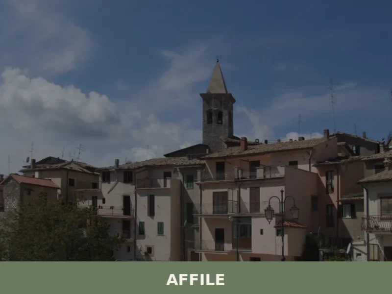
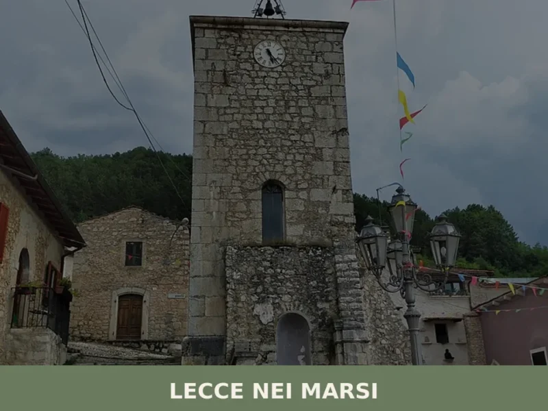
Affile
What to see in Affile, Lazio, Italy: discover 5 key attractions at 684 m altitude, from Roman cisterns to medieval churches. Explore history, food and how to get there.
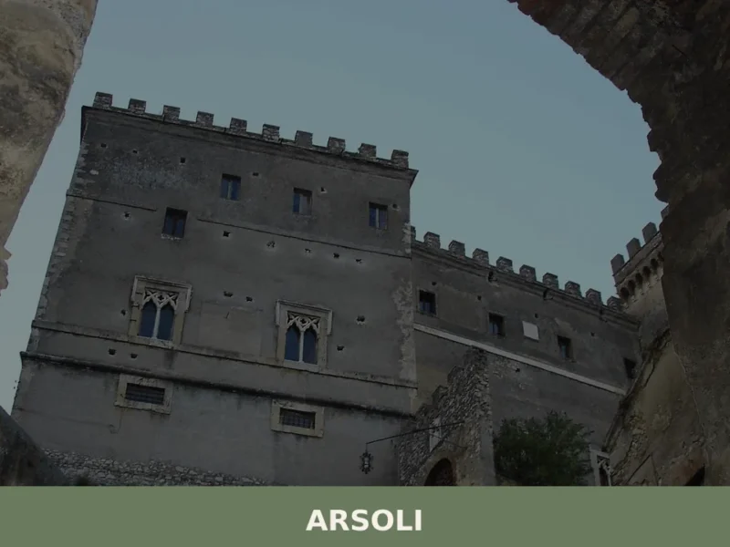
Arsoli
What to see in Arsoli, Lazio, Italy: a castle from the 11th century, medieval streets at 666 m altitude, and a Roman aqueduct. Discover the complete guide.
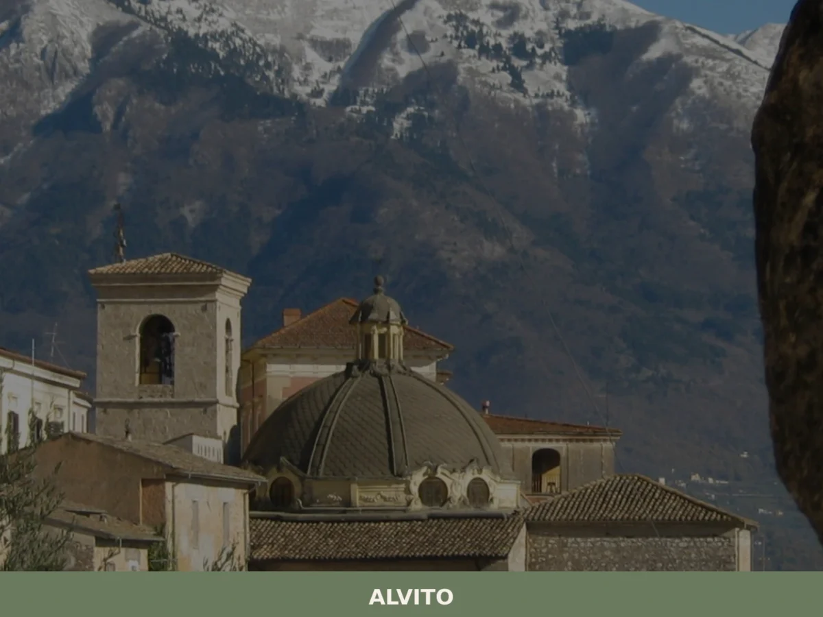
Alvito
What to see in Alvito: discover the 5 top attractions in this Lazio village, from the castle to the Cathedral. Plan your visit with this complete guide.
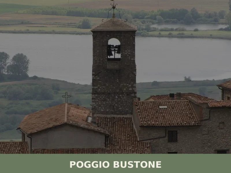
Poggio Bustone
What to see in Poggio Bustone, Italy: a village at 751 m with Franciscan chapels, a Gothic arch, and Lucio Battisti's birthplace. Discover the complete guide.

Roma
The capital of Italy and the Lazio region, Roma encompasses 1287 km² and 2.7 million inhabitants, making it Europe's largest commune and a global center of political, religious and cultural influence.

Terracina
44,000 residents, one ancient temple on a cliff, and centuries of Roman, medieval and papal history waiting along the Tyrrhenian coast.
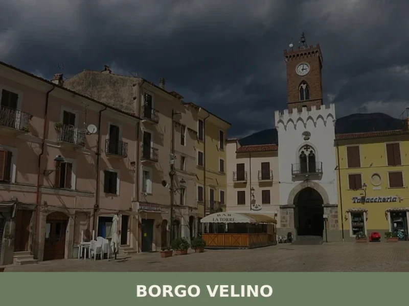
Borgo Velino
What to see in Borgo Velino: discover 5 key attractions in this village of 996 inhabitants at 460m. Explore Palazzo Brancaleoni and taste Cacio fiore. Plan your visit now.
Arlena di Castro
With its 839 registered inhabitants and an elevation of 260 metres above sea level, Arlena di Castro occupies a tuff plateau in the Tuscia area of the Viterbo province, just a few kilometres from the border with the Lazio Maremma. The municipal territory preserves traces of Etruscan presence documented by necropolises and ceramic materials found […]
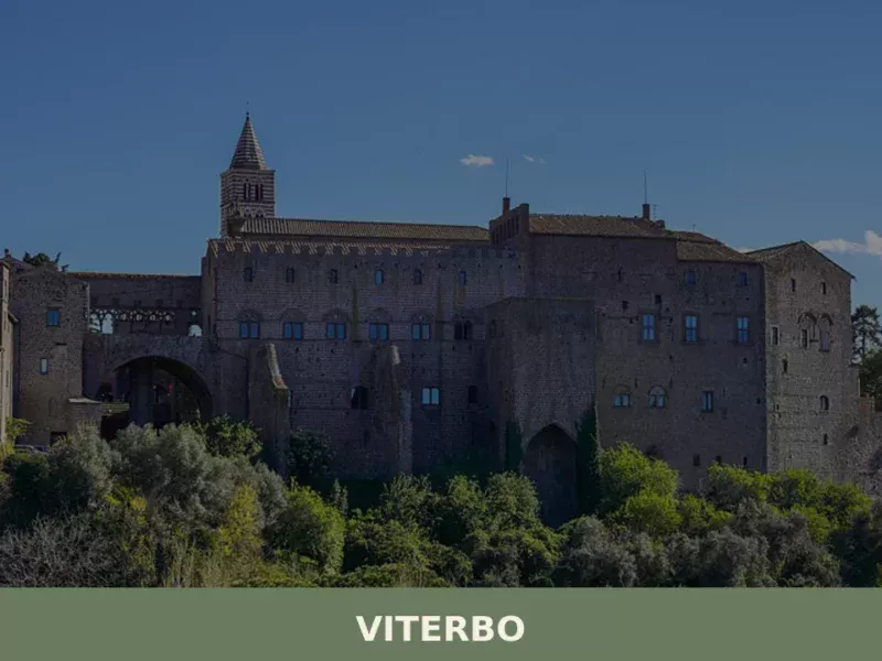
Viterbo
What to see in Viterbo: Palazzo dei Papi, San Pellegrino, Terme del Bullicame and the UNESCO festival of Santa Rosa. Practical guide with info on how to get there and when to visit.


🏡 Know Campoli Appennino better than we do?
If you’re a local or have been there, your knowledge matters: add what’s missing or fix a detail on this page.