


Costacciaro
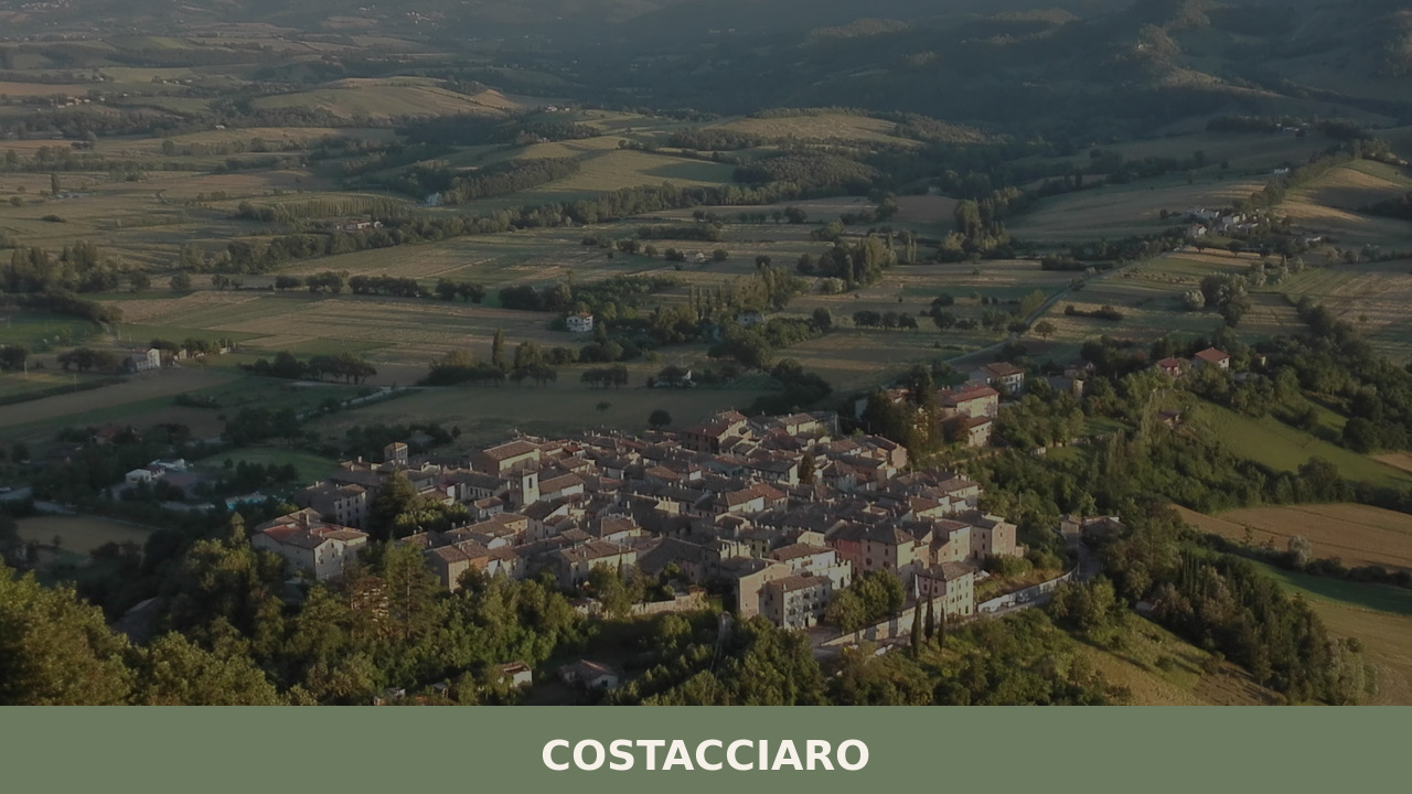
Morning light reaches Costacciaro slowly, filtered through the mass of Monte Cucco before it spills across stone facades and narrow lanes still damp from overnight mountain air. At 1,280 inhabitants, this is a village measured not in monuments but in texture — the grain of limestone walls, the sound of water channelled from karst springs, […]
Discover Costacciaro
Morning light reaches Costacciaro slowly, filtered through the mass of Monte Cucco before it spills across stone facades and narrow lanes still damp from overnight mountain air. At 1,280 inhabitants, this is a village measured not in monuments but in texture — the grain of limestone walls, the sound of water channelled from karst springs, the particular silence of a settlement pressed against the Apennine ridge. Understanding what to see in Costacciaro means reading a landscape where geology and human settlement are inseparable, where every built surface answers the mountain behind it.
History of Costacciaro
The name likely derives from the Latin costa — slope or ridge — a straightforward description of the village’s position on the western flank of Monte Cucco, at the edge of the Umbria-Marche Apennines in the province of Perugia. Settlement here predates the medieval period; the strategic corridor between Umbria and the Adriatic coast made this stretch of the Via Flaminia a contested passage for centuries. Roman road infrastructure established the route, and successive waves of Lombard and Frankish administration reinforced its defensive value.
By the thirteenth century, Costacciaro had assumed the form of a castello — a fortified settlement under the jurisdiction of Gubbio, whose political orbit shaped much of this mountainous frontier. The village’s walls and gates, parts of which survive, date broadly from this period. Under the Montefeltro and later the della Rovere lordships, the area shifted between Umbrian and Marchigian spheres of influence. Papal control eventually prevailed, folding Costacciaro into the administrative fabric of the Papal States until Italian unification in 1860.
Throughout these political shifts, the village’s identity remained anchored to the mountain. Pastoralism, charcoal production, and the management of forest resources defined daily life for generations. The karst systems beneath Monte Cucco — explored systematically only from the twentieth century onward — would eventually reshape Costacciaro’s relationship with the outside world, drawing speleologists and naturalists to a village that had otherwise remained largely unchanged and focused on its deep mountain heritage.
ained largely self-contained.What to see in Costacciaro: 5 must-visit attractions
1. Grotta di Monte Cucco
One of Italy’s deepest and most extensively mapped cave systems, reaching over 900 metres below the surface with more than 30 kilometres of explored passages. Guided visits follow illuminated sections through chambers of stalactites and underground rivers. The cave’s constant temperature of around 7°C and its geological significance have made it a reference site for Italian speleology since systematic exploration began in the 1880s.
2. Parco Regionale del Monte Cucco
The regional park encompasses over 10,000 hectares of beech forest, alpine meadow, and karst plateau surrounding the 1,566-metre summit of Monte Cucco. Marked trails cross the Val di Ranco and climb through forest zones that shift visibly with altitude. The park is also one of central Italy’s established sites for hang gliding and paragliding, thanks to consistent thermal currents along the Apennine ridge.
3. Chiesa di San Francesco
This thirteenth-century church, built in the decades following the Franciscan expansion across Umbria, occupies a prominent position within the village. Its stone façade is unadorned in the manner typical of early Franciscan architecture — function over ornament. Inside, fragmentary frescoes from the fourteenth and fifteenth centuries survive on the nave walls, offering a partial record of devotional art in the upper Umbrian Apennines.
4. The Medieval Village Centre
Costacciaro’s historic core preserves its fortified layout: concentric lanes, remnants of defensive walls, and a principal gate that once controlled access. The proportions are modest — this was never a wealthy commune — but the construction is consistent, with local limestone used throughout. Walking the circuit takes minutes, yet the spatial logic of a medieval Apennine settlement is legible in every compressed alleyway and angled staircase.
5. Rio Freddo and the Karst Springs
Below the village, the Rio Freddo emerges from the karst system as a cold, mineral-clear spring before joining the broader drainage towards the Chiascio valley. The spring area is accessible on foot and reveals the direct hydraulic relationship between Monte Cucco’s underground water network and the surface settlements. In summer, the water temperature contrast with the surrounding air is immediate and sharp.
Local food and typical products
Costacciaro’s food traditions belong to the Apennine pastoral economy: cured meats from local pork, handmade pasta, foraged greens, and — above all — truffles. The forests of Monte Cucco are productive territory for both black and white truffles, with the prized tartufo bianco harvested in autumn. Truffle is typically served simply: shaved over fresh strangozzi pasta, folded into omelettes, or layered onto crostini with unsalted Umbrian bread. Game — wild boar, hare, wood pigeon — also figures in the local repertoire, slow-braised with local olive oil and herbs gathered from the mountainside.
Local producers sell lenticchie and farro grown in the surrounding uplands, and small-batch honey drawn from hives positioned along the forest margins. The village and its immediate surroundings support a handful of trattorie and agriturismi where menus rotate with the season and the truffle calendar. Portions tend toward the substantial — this is mountain food, calibrated for altitude and labour.
Best time to visit Costacciaro
Spring and early summer — from late April through June — bring the Monte Cucco meadows into full flower and the beech forests into dense canopy. Trails are clear, temperatures moderate, and the park’s birdlife is at its most active. This is the optimal window for hiking and paragliding. Autumn, particularly October and November, draws visitors for the truffle season; the village hosts events and markets centred on the harvest, and the forest colours shift from green through copper to bare grey. Winters are cold and often snowy at altitude, which limits access to higher trails but creates conditions for quieter, more solitary exploration of the village itself.
Summer weekends can see increased activity from regional visitors, particularly around the cave and the park’s launch sites. Weekday visits, in any season, offer the village at its most unguarded. The Festa del Tartufo, held annually, is the principal calendar event — worth planning around if the intersection of food and mountain culture is the primary interest.
How to get to Costacciaro
Costacciaro sits along the E45 corridor, the main north-south route through inland Umbria. From Perugia, the drive north takes approximately 50 minutes via the E45 and then the SS3 (Via Flaminia), which passes directly through the village. From Rome, the journey is roughly two and a half hours via the A1 motorway to Orte, then the E45 northward. From Ancona on the Adriatic coast, the SS76 and SS3 cross the Apennine ridge via the Scheggia pass, reaching Costacciaro in about an hour and a quarter.
The nearest railway station with regular service is Fossato di Vico, approximately 10 kilometres south, on the Foligno–Ancona line. From there, local bus connections or a short taxi ride complete the journey. The nearest airports are Perugia–Sant’Egidio (roughly 55 kilometres) and Rome Fiumicino (approximately 220 kilometres). A car is the most practical means of reaching both the village and the surrounding park.
More villages to discover in Umbria
Costacciaro belongs to a constellation of small Umbrian settlements where mountain terrain has preserved older rhythms of life. Southward, deeper into the Valnerina, Cerreto di Spoleto occupies a similarly elevated position above a river valley, with its own medieval fabric and connections to Umbria’s tradition of itinerant herbalists and spice traders — a story particular to these Apennine communities that maintained long-distance networks despite their apparent isolation.
Exploring these villages in sequence — moving along the mountain spine from the Monte Cucco massif southward through the Valnerina — reveals the structural consistency of Umbrian hill settlements: compact stone cores, defensive siting, economies built on forest, pasture, and the management of water. Each village inflects these constants differently, shaped by its specific altitude, its patron saint, its angle of light. For those mapping an itinerary through Umbria’s interior, the route from Costacciaro toward Cerreto di Spoleto threads through some of the region’s least commercialised and most geologically dramatic terrain.
Frequently asked questions about Costacciaro
What is the best time to visit Costacciaro?
Late April through June is ideal for hiking and paragliding, with Monte Cucco's meadows in bloom and moderate temperatures. October and November draw visitors for the white truffle season, when local trattorie and markets celebrate the harvest. The village's patron saint, Beato Tommaso, is celebrated on the first Sunday of September — a good occasion to experience local traditions. Autumn weekdays offer the quietest, most authentic atmosphere. Winter brings snow at altitude, limiting trails but giving the stone village a contemplative quality.
What are the historical origins of Costacciaro?
The name derives from the Latin costa, meaning slope or ridge, reflecting the village's position on Monte Cucco's western flank. The site's strategic value along the Via Flaminia — the main corridor between Umbria and the Adriatic — attracted Roman, Lombard, and Frankish settlements over centuries. By the thirteenth century Costacciaro was a fortified castello under Gubbio's jurisdiction. It subsequently passed through Montefeltro and della Rovere influence before Papal annexation, remaining part of the Papal States until Italian unification in 1860.
What to see in Costacciaro? Main monuments and landmarks
The five key sites are: the Grotta di Monte Cucco, one of Italy's deepest cave systems with guided illuminated tours (internal temperature ~7°C); the Parco Regionale del Monte Cucco, with over 10,000 hectares of beech forest and marked trails; the thirteenth-century Chiesa di San Francesco, featuring surviving fourteenth- and fifteenth-century frescoes; the compact medieval village centre with original defensive walls and a principal gate; and the Rio Freddo karst spring, accessible on foot below the village. For cave visit booking, contact the park authority directly.
What are the main natural or scenic attractions of Costacciaro?
The Parco Regionale del Monte Cucco is the primary natural draw, encompassing beech forests, karst plateau, and a 1,566-metre summit. Marked trails cross the Val di Ranco and ascend through distinct altitude zones. The park is one of central Italy's main sites for hang gliding and paragliding, thanks to reliable thermal currents along the Apennine ridge. Underground, the Grotta di Monte Cucco extends over 30 kilometres of mapped passages. The Rio Freddo spring, emerging cold and clear from the karst system below the village, is accessible on a short walk.
Where to take the best photos in Costacciaro?
The principal gate and remnants of the medieval walls offer the clearest views of the village's fortified layout against the Monte Cucco backdrop. The Rio Freddo spring area below the village provides striking natural compositions, particularly in morning light when mist still sits in the valley. The karst meadows of the Monte Cucco plateau, especially in late spring flower, are among the most photogenic landscapes in the Umbrian Apennines. The cave entrance, framed by forest, is also a distinctive subject.
Are there museums, churches or historic buildings to visit in Costacciaro?
The Chiesa di San Francesco, dating to the thirteenth century, is the village's principal religious monument. Built in restrained early Franciscan style, it preserves fragmentary frescoes from the fourteenth and fifteenth centuries on its nave walls. The medieval village centre retains its original concentric layout, defensive walls, and a surviving access gate. For specific opening hours of the church, it is advisable to contact the local pro loco or the municipality of Costacciaro directly, as access in small Apennine villages is often managed informally.
What can you do in Costacciaro? Activities and experiences
Costacciaro offers guided cave tours inside the Grotta di Monte Cucco, hiking on marked trails through the Parco Regionale del Monte Cucco, and hang gliding or paragliding from the Apennine ridge. In autumn, truffle hunting in the Monte Cucco forests is a documented local activity, tied to the white and black truffle seasons. The village supports a small number of trattorie and agriturismi with seasonal menus. The annual Festa del Tartufo is the main calendar event, centred on the harvest and the local food tradition.
Who is Costacciaro suitable for? Families, couples, hikers, solo travelers?
Costacciaro suits hikers and nature lovers primarily, given the Parco Regionale del Monte Cucco and its extensive trail network. The Grotta di Monte Cucco's guided tours make it accessible for families with older children interested in geology and speleology. Paragliding and hang gliding attract adventure travellers. Couples and slow-travel visitors will appreciate the village's quiet medieval centre, seasonal truffle menus, and agriturismi. Solo travellers seeking an uncrowded, geologically dramatic corner of inner Umbria — away from the region's better-known circuits — will find Costacciaro genuinely off the tourist trail.
What to eat in Costacciaro? Local products and specialties
The defining local product is truffle: Monte Cucco's forests yield both black and white truffles, with the prized tartufo bianco harvested in autumn and typically served shaved over strangozzi pasta, in omelettes, or on crostini. Game — wild boar, hare, wood pigeon — is slow-braised in local olive oil and herbs. Cured pork meats, handmade pasta, foraged mountain greens, lentils, farro, and small-batch forest honey round out the Apennine pastoral table. Menus at local trattorie and agriturismi rotate seasonally and are calibrated to mountain portions.
Nearby Villages near Costacciaro
In Umbria More villages to discover
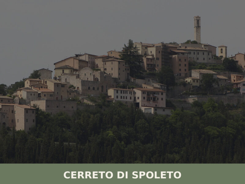
Cerreto di Spoleto
A ridge-top village of 975 inhabitants in the Valnerina, Cerreto di Spoleto holds medieval streets, scattered hamlets, and a centuries-old tradition of itinerant herbalists.
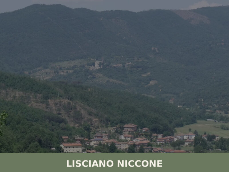
Lisciano Niccone
A 601-inhabitant village on the Umbria-Tuscany border. Discover what to see in Lisciano Niccone: its medieval core, valley trails, and traditional food.
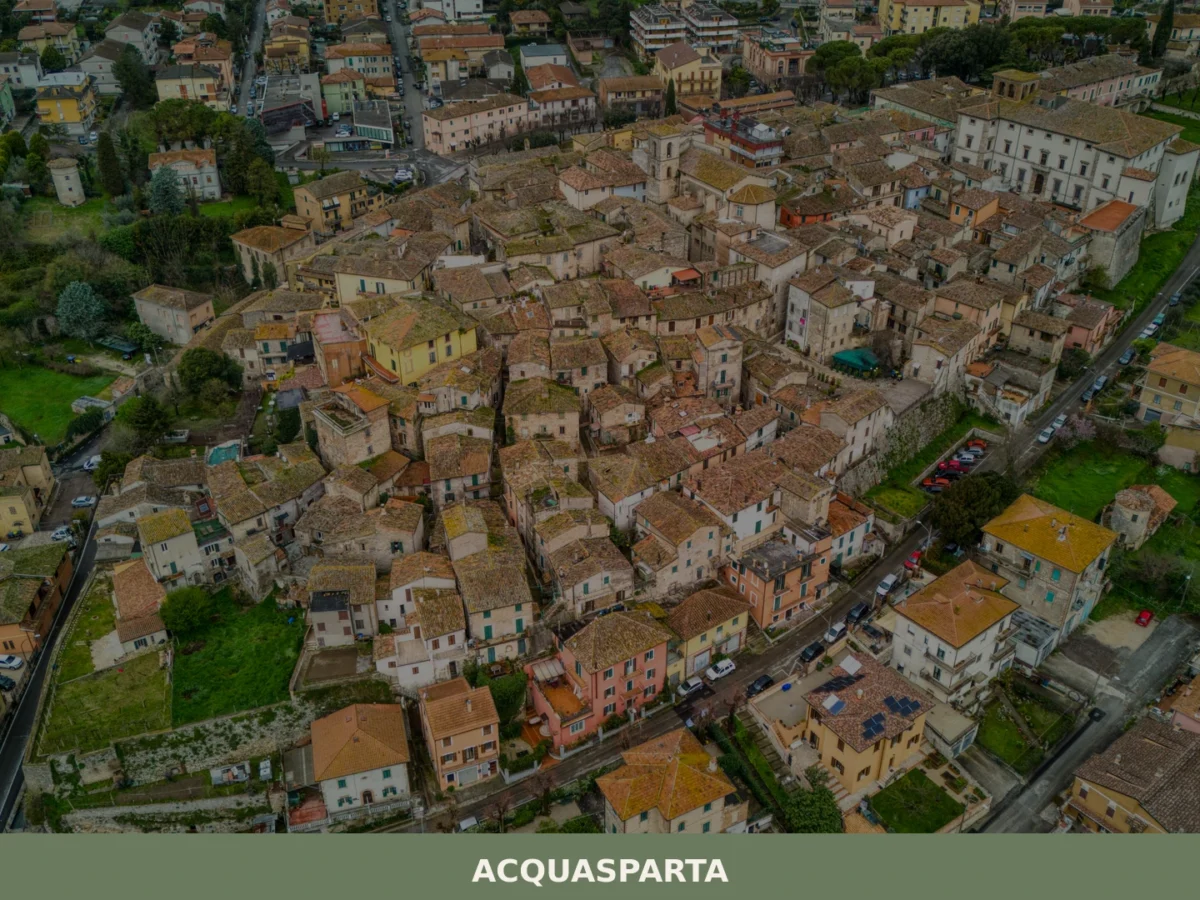
Acquasparta
Discover what to see in Acquasparta, Umbria: Renaissance palaces, the Cesi legacy, mineral springs, Martani Hills trails, and local food. A complete travel guide.
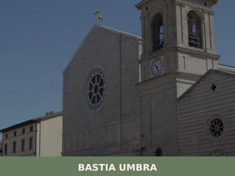
Bastia Umbra
What to see in Bastia Umbra, Italy: 5 top attractions, local food, and how to get there. Explore a plains town 13 km from Perugia with 21,965 inhabitants.
Spello
What to see in Spello, Umbria, Italy: Roman gates, mosaic villa, medieval walls at 314 m. Discover top attractions, local food and how to get there.
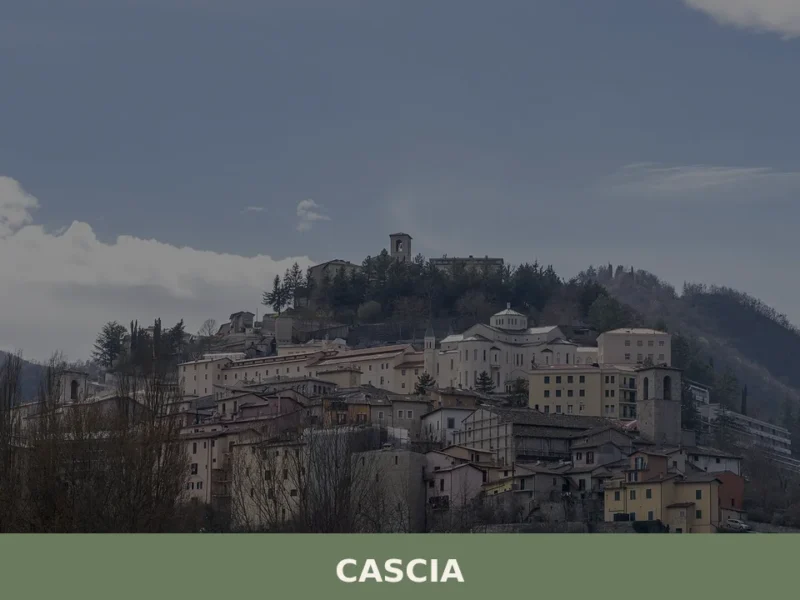
Cascia
What to see in Cascia, Umbria, Italy: explore the Basilica of Santa Rita, medieval churches, and local truffles at 653 m altitude. Discover the full travel guide.
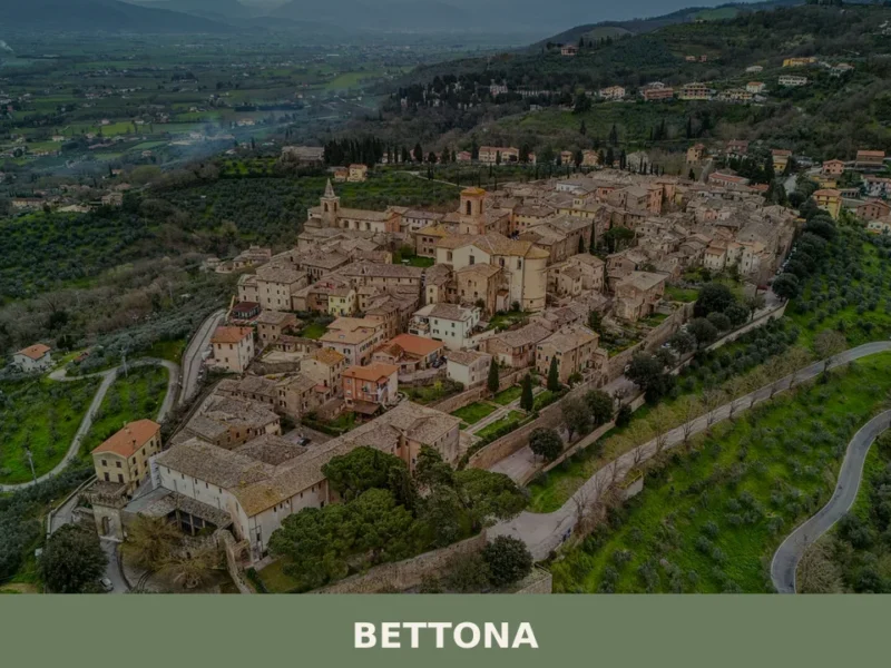
Bettona
What to see in Bettona, Umbria, Italy: Etruscan walls, Perugino paintings and a Pinacoteca at 353 m altitude. Discover top attractions and how to get there.
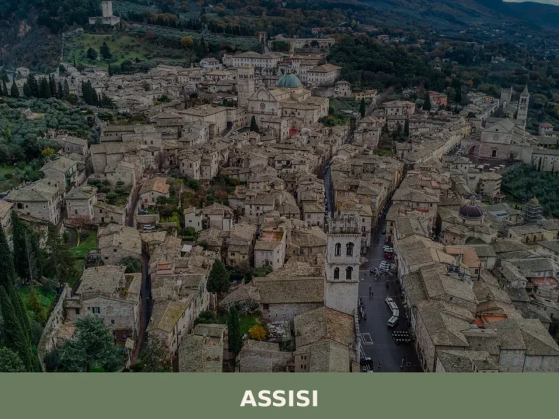
Assisi
What to see in Assisi, Umbria, Italy: explore the UNESCO Basilica of San Francesco, Rocca Maggiore, and 27,721-inhabitant hilltop town. Discover festivals and travel tips.

Orvieto
Orvieto stands on a dramatic tufa mesa above the Paglia Valley, home to a great Gothic cathedral and over 3,000 years of layered history. A essential destination in southern Umbria.
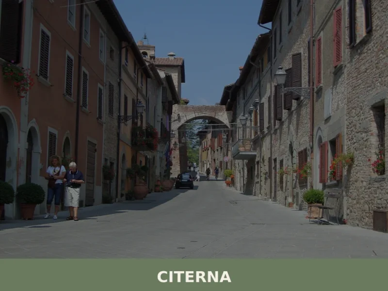
Citerna
What to see in Citerna, Umbria, Italy: explore 5 top attractions, a Donatello terracotta, and the medieval walls at 480 m. Discover the full travel guide.


🏡 Know Costacciaro better than we do?
If you’re a local or have been there, your knowledge matters: add what’s missing or fix a detail on this page.