


Isolabona
What to see in Isolabona, Liguria, Italy: explore a village of 674 people set 30 km from Imperia. Discover top attractions, local food, and how to get there.
Discover Isolabona
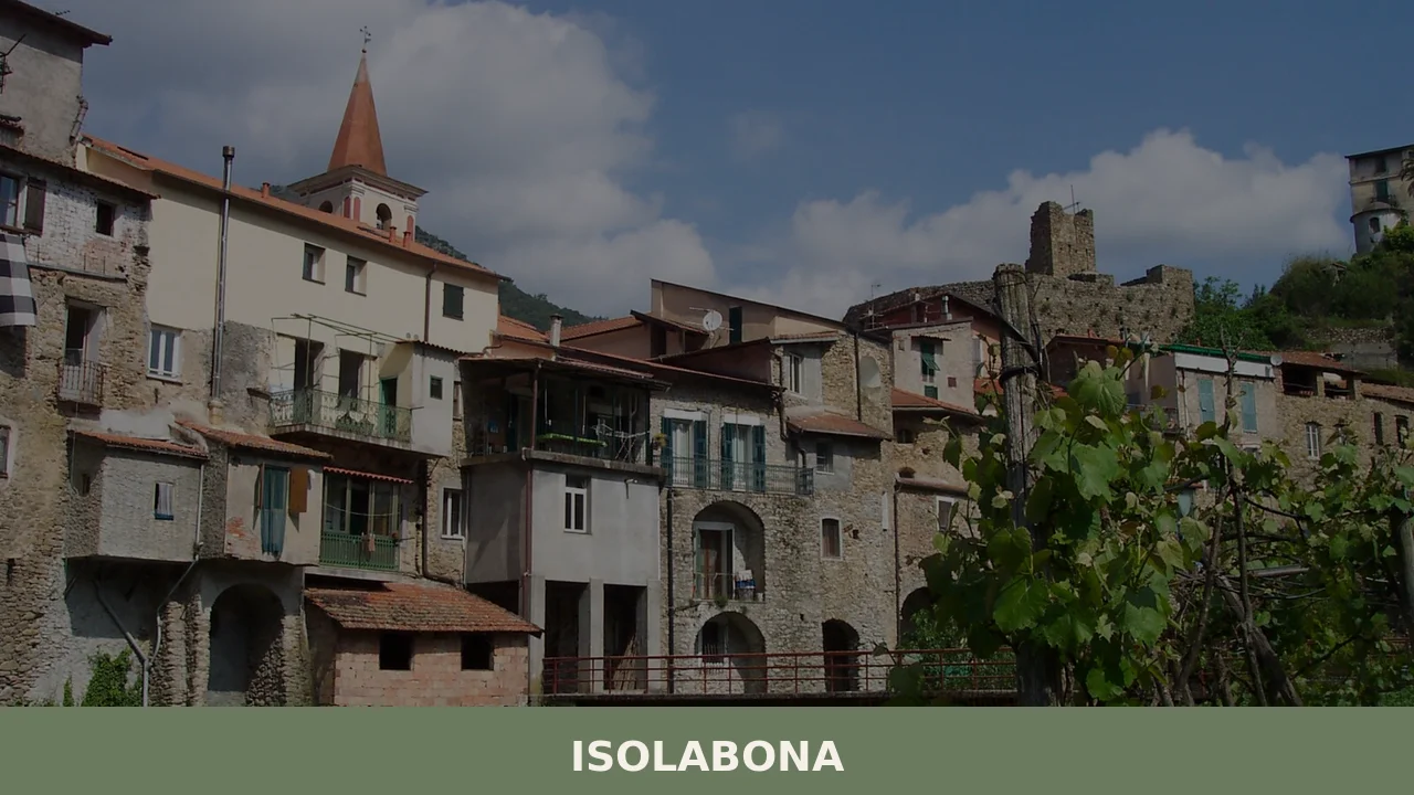
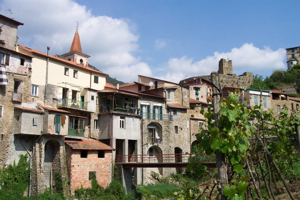
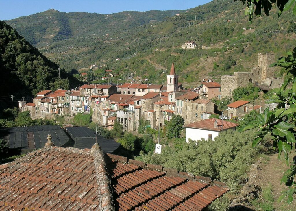
The Nervia valley narrows here to a corridor of grey limestone and dark Mediterranean scrub. A cluster of stone buildings occupies the valley floor at roughly 120 km (75 mi) southwest of Genoa, where the river bends and the road from Dolceacqua arrives at a small bridge. On a clear day the ridgeline above the village casts a long shadow across 12.4 square kilometres (4.8 sq mi) of terraced hillside before the light catches the upper walls of the oldest buildings and turns them the colour of dry wheat.
For travellers planning what to see in Isolabona, the answer begins with the village’s compact historic fabric, its position as a crossing point between five neighbouring municipalities, and the agricultural landscape that surrounds it.
With a resident population of 674, Isolabona, Liguria, Italy offers a focused, walkable experience rather than a large itinerary. Visitors to Isolabona find a walled medieval settlement, border-country churches, terraced olive groves, and direct access to the network of footpaths linking the Nervia valley communities.
History of Isolabona
The name Isolabona derives from the Latin insula bona, meaning “good island,” a reference to the river loop that historically surrounded the inhabited area and gave the settlement the appearance of an island on the valley floor. The Nervia river does not form a true island here in the geographical sense, but its course created a near-encirclement that defined the earliest built perimeter of the village and influenced the layout of its streets for several centuries. This kind of fluvial toponymy is common across the western Ligurian valleys, where water controlled access, agriculture, and defence in equal measure.
The municipality sits within the Province of Imperia, in a border zone that shifted repeatedly between the Republic of Genoa and the County of Ventimiglia during the medieval period.
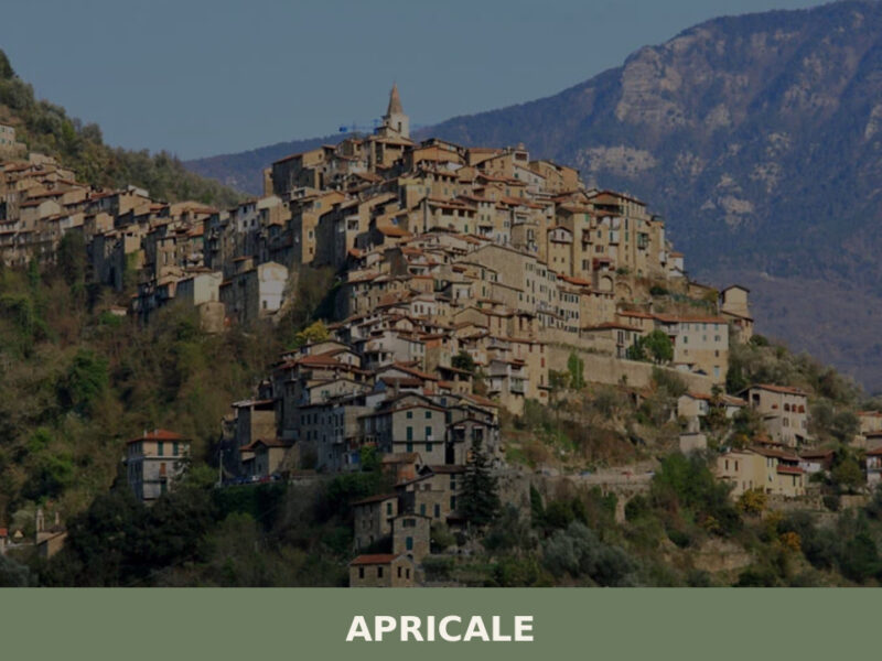
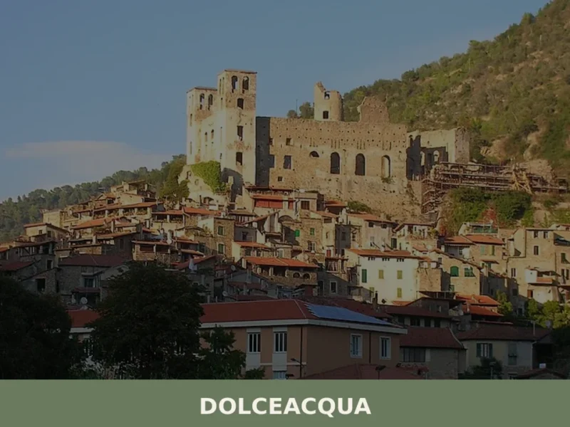
Communities throughout the Nervia valley, including Isolabona and its neighbours, came under Genoese administrative influence as the republic consolidated its hold over the western Ligurian hinterland. The surrounding municipalities — Apricale, which shares the same valley system and a similar medieval street pattern, Castelvittorio, Dolceacqua, Pigna, and Rocchetta Nervina — all bear comparable traces of this Genoese administrative period in their civic architecture and land registry structures. Dolceacqua, the largest of the neighbouring communities, served as the main market centre for the sub-valley, and Isolabona’s commercial and agricultural life was oriented toward it for much of the early modern period.
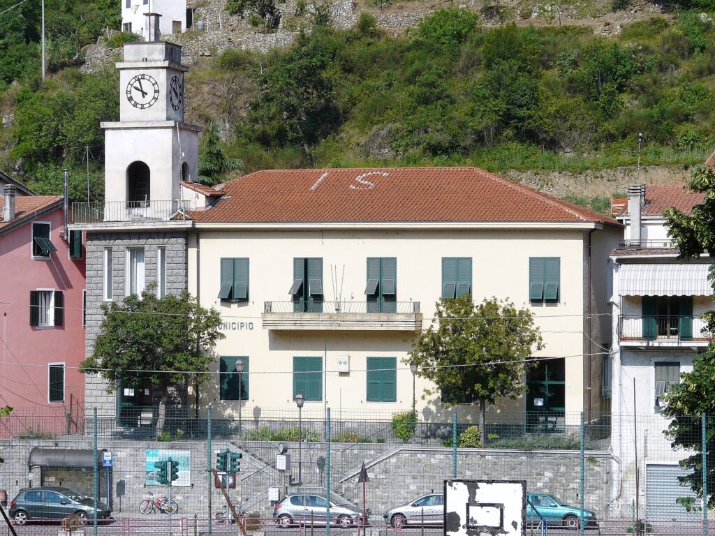
By the nineteenth century, the administrative reorganisation of the Italian state placed Isolabona firmly within the structures that eventually became the Province of Imperia, established in 1923. The 2011 census recorded 716 residents distributed across 333 families, a figure that reflects the gradual demographic contraction common to inland Ligurian villages following the economic migration of the mid-twentieth century. The current population of 674 continues that slow decline, though the village retains its full municipal status and its own administrative body.
The built fabric of the historic centre has remained largely intact through this period, preserving the scale and street geometry of a settlement that never industrialised.
What to see in Isolabona, Liguria: top attractions
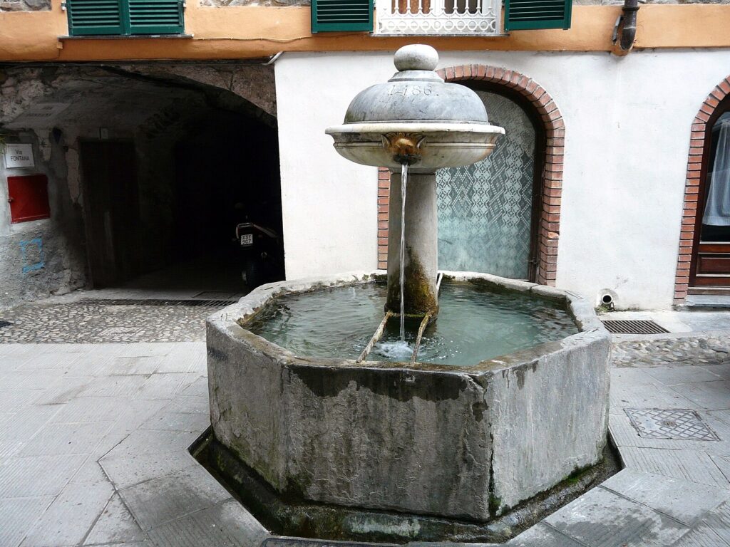
The Historic Village Centre and Medieval Street Layout
The oldest part of Isolabona occupies a compact area defined by the original river loop, and the street plan preserves the irregular geometry of a medieval borgo that grew incrementally rather than by design. Stone facades line lanes as narrow as 2 m (6.5 ft) in places, with upper-floor passages and archways spanning between buildings at head height. Walking through the centre, visitors can read the construction phases directly in the masonry: darker, rougher courses at the base of the oldest walls give way to more uniform stonework at higher levels, marking later repair or expansion. The best light for observing the street textures falls in the late morning, when the sun reaches the valley floor.
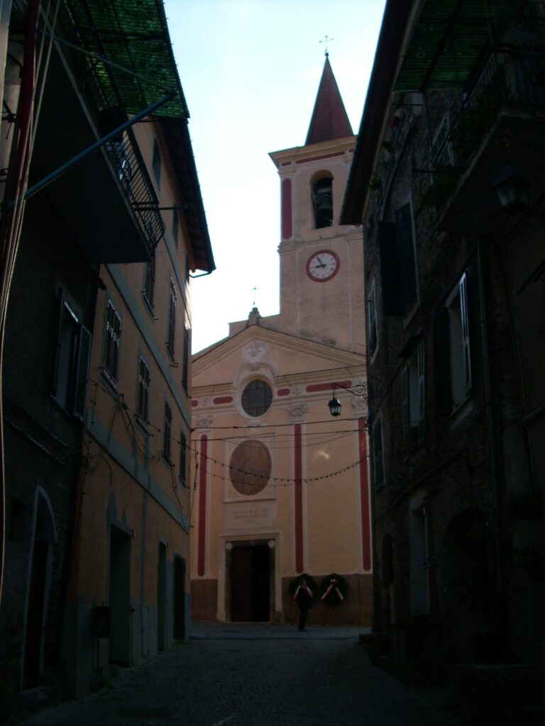
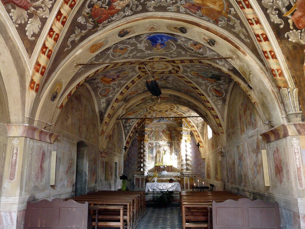
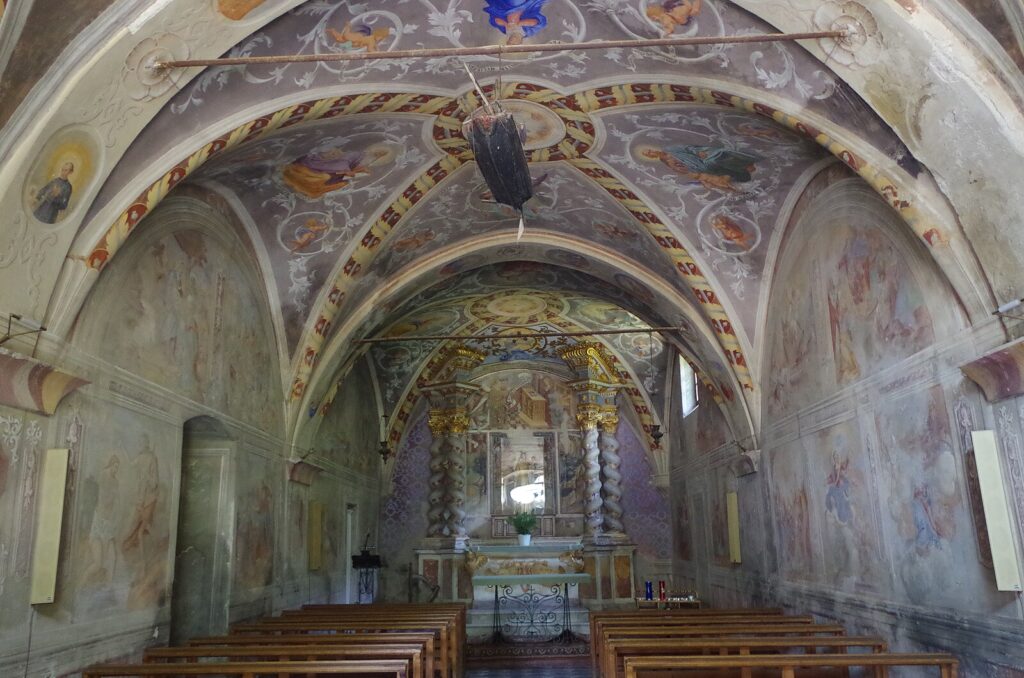
The Parish Church of San Giovanni Battista
The parish church dedicated to San Giovanni Battista stands at the edge of the historic centre and represents the main religious building in Isolabona. The structure’s exterior reflects the restrained Baroque manner that spread through western Liguria during the seventeenth and eighteenth centuries, with a plastered facade and a bell tower that rises above the surrounding rooflines. The interior preserves elements of earlier construction beneath later decorative layers. For visitors asking what to see in Isolabona in terms of religious architecture, this church provides the clearest single example, and the adjacent small square offers a direct view of the bell tower against the valley ridge behind it.
The Surrounding Terraced Olive Landscape
The hillsides enclosing Isolabona carry a system of dry-stone terrace walls, locally called fasce, built over many generations to retain the thin soil on slopes that in places exceed 30 degrees of gradient.
Olive cultivation on these terraces produced the oil that was historically the primary cash crop of the Nervia valley, traded down to the coastal markets at Ventimiglia. Many terraces remain cultivated today, and the footpaths running between them offer a direct reading of the agricultural infrastructure that shaped the local economy for centuries. The olive trees themselves are frequently old specimens with heavy, gnarled trunks; some show growth patterns consistent with plants over a century in age.
The Nervia River Corridor and Valley Footpaths
The Nervia river passes directly below the village, running at an elevation that places the water approximately 10 to 15 m (33 to 49 ft) below the level of the historic centre depending on the season and water volume. The riverbanks along this stretch provide a distinct ecological corridor: the vegetation shifts from the dry macchia of the upper slopes to riparian species — willows, alder, and dense reed beds — within a short descent.
Marked footpaths connect Isolabona to neighbouring municipalities, including a route toward Rocchetta Nervina that covers roughly 5 km (3.1 mi) of valley floor and hillside terrain, making it accessible to walkers of moderate fitness.
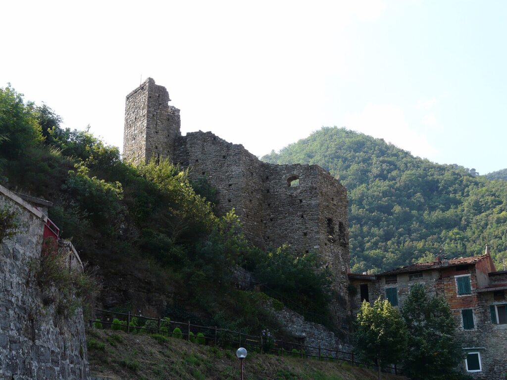
The Border-Country Viewpoints and Ridge Paths
Isolabona’s position within a cluster of five municipalities — Apricale, Castelvittorio, Dolceacqua, Pigna, and Rocchetta Nervina — means that short climbs from the village reach high ground with views across multiple valley systems simultaneously. The ridge paths above the settlement sit at elevations ranging from approximately 400 m to over 700 m (1,312 ft to 2,297 ft) depending on the route, and they form part of the broader Ligurian trail network. These paths were originally used for transhumance and mule-track trade between the valley and the higher mountain communities; the stone waymarkers and paved sections of older mule track remain visible in several places.
Local food and typical products of Isolabona
The food traditions of the Nervia valley reflect the constraints of an inland mountain economy and the influence of the Genoese commercial network that connected these villages to the Ligurian coast. Olive oil, dried legumes, foraged greens, and salted fish — transported up from Ventimiglia — formed the structural components of the local diet for centuries. The cuisine is direct and ingredient-focused: it does not draw on the elaborate sauce traditions of the Piedmontese kitchen immediately to the north, nor on the fish-centred cooking of the coastal towns to the south, but occupies a distinct middle position that makes use of what the terraced hillsides and the valley floor produce.
Among the dishes documented in this part of western Liguria, la mescüa — a thick soup of mixed legumes including chickpeas, borlotti beans, and wheat grains, dressed with local olive oil — appears consistently across valley communities as a cold-weather preparation.
Stoccafisso accomodato, stockfish cooked slowly with olives, pine nuts, and potatoes, connects the inland villages to the maritime trade that brought dried cod from northern Europe through Genoese merchant networks. Farinata, a flat unleavened preparation made from chickpea flour, water, olive oil, and salt, baked at high temperature in a wide copper or iron pan, is found throughout the Ligurian hinterland and remains a standard offering in local bakeries and focaccerie. The chickpea flour arrives from the coastal mills, while the olive oil used in all these preparations comes predominantly from the valley’s own fasce.
The olive oil produced in the Nervia valley and the broader area around Imperia falls within the production zone of the Riviera Ligure DOP extra virgin olive oil, one of the certified designations covering western Ligurian olive cultivation. This oil is produced primarily from the Taggiasca olive variety, a cultivar with small dark fruit that yields oil with a mild, slightly fruity profile and low acidity. The Taggiasca olive itself, cured in brine or preserved under oil, is also consumed as a table olive and used as an ingredient in the region’s cooking.
Visitors looking to purchase certified local products can find both the oil and the cured olives in the valley’s small food shops and at periodic markets in the larger nearby centres.
Local food markets and village food events in this part of the Province of Imperia tend to concentrate in autumn, when olive harvest begins and local producers bring oil, preserves, and fresh produce to market. The harvest period typically runs from October through December, and purchasing oil directly from producers during or immediately after harvest provides the freshest product. English is not widely spoken in smaller food shops across the valley, and carrying cash in euros is practical since card payment infrastructure is inconsistent in the smaller establishments.
Festivals, events and traditions of Isolabona
The patron saint of Isolabona is San Giovanni Battista, and the feast day falls on 24 June, a date that aligns with the summer solstice in the older liturgical calendar and was historically observed with bonfires on the surrounding hillsides, a practice common across the western Ligurian mountains. The feast involves a religious procession through the village streets, the celebration of a solemn mass in the parish church, and communal gatherings in the village square that extend into the evening. The date in late June coincides with one of the more reliably warm and dry periods in the valley’s annual weather cycle, which supports outdoor celebration.
Beyond the patron saint festival, the broader calendar of the Nervia valley includes a series of local food events tied to the agricultural seasons.
Autumn olive harvest gatherings and small-scale food fairs occur across the valley municipalities between October and November, and Isolabona participates in the regional network of these events, which are organised at both the municipal and the inter-municipal level. The sagra, a traditional local food festival centred on a specific seasonal ingredient or dish, represents the most frequent format for these gatherings; neighbouring communities hold their own editions, and visitors based in the valley during autumn can typically attend more than one within a short drive or walk.
When to visit Isolabona, Italy and how to get there
The best time to visit Isolabona falls between late April and early June, and again in September and October. Spring brings the hillside vegetation into full growth before the summer heat dries the scrub; temperatures in the valley reach 18 to 24 degrees Celsius (64 to 75 degrees Fahrenheit) during the day, and the footpaths are in good condition after winter. October combines cooler walking temperatures with the olive harvest activity in the surrounding groves, giving visitors a direct view of the agricultural cycle that has defined this landscape for centuries. July and August are warm to hot — valley temperatures can exceed 35 degrees Celsius (95 degrees Fahrenheit) at midday — and the higher ridge paths are more comfortable than the valley floor during these months.
Isolabona sits approximately 120 km (75 mi) southwest of Genoa and 30 km (19 mi) west of Imperia. If you arrive by car, the most direct route from the A10 motorway uses the Ventimiglia exit and follows the SS20 road inland along the Nervia valley for approximately 15 km (9.3 mi) to reach the village.
The drive from Ventimiglia takes under 30 minutes in normal traffic conditions. From Nice in France, the distance is approximately 50 km (31 mi), making Isolabona a feasible destination for a day trip from the French Riviera as well as from the Italian coast. The nearest train station with regular service is Ventimiglia, served by Trenitalia regional trains on the Genoa–Ventimiglia coastal line; from Ventimiglia station, a local bus service connects to the Nervia valley communities, though schedules are infrequent on weekends. The nearest international airport is Nice Côte d’Azur, approximately 60 km (37 mi) from Isolabona, with a transfer time of around one hour by car. For those arriving from Milan, the total distance is approximately 280 km (174 mi) via the A26 and A10 motorways, making it a long but manageable day trip or a natural stop on a broader Ligurian itinerary.
International visitors should note that English is spoken in a limited number of establishments in the village and the immediate valley. Carrying euros in cash is advisable, as ATM access and card payment are not uniformly available in the smaller shops and accommodation options across the Nervia valley municipalities.
Travellers with time to extend their visit beyond Isolabona will find that the surrounding municipalities each offer a distinct version of the same valley culture.
The medieval village of , which borders Isolabona directly and shares its position within the Nervia valley system, is reachable on foot along a marked trail and provides a useful complement to a day spent exploring what to see in Isolabona. For those interested in comparing the inland Ligurian village model more broadly, the eastern Ligurian village of Brugnato, in the Vara valley, represents a parallel case of a small historic centre within the Province of La Spezia, illustrating how the same general settlement type developed under different geographic and historical conditions across the region.
Frequently asked questions about Isolabona
What is the best time to visit Isolabona?
Spring (April–June) and autumn (September–November) are the ideal seasons. In spring the terraced olive groves and valley vegetation are at their most vivid, temperatures on the valley floor are mild, and the footpaths connecting Isolabona to neighbouring villages are in excellent condition. Autumn coincides with the olive harvest on the fasce, when local producers are active and small food markets in the Province of Imperia area offer fresh Taggiasca oil and cured olives. Summer is warm but rarely extreme at 106 m altitude. The village's patron saint is Santa Maria Maddalena, whose feast falls on 22 July.
What are the historical origins of Isolabona?
The name derives from the Latin insula bona, meaning 'good island', referring to the near-encirclement of the original settlement by a bend in the Nervia river. During the medieval period the village fell within the border zone contested between the Republic of Genoa and the County of Ventimiglia, before coming under firm Genoese administrative influence. By the nineteenth century it was absorbed into the structures of unified Italy, eventually becoming part of the Province of Imperia established in 1923. The 2011 census recorded 716 residents; the current population stands at 674, reflecting gradual demographic contraction common to inland Ligurian villages.
What to see in Isolabona? Main monuments and landmarks
The compact medieval historic centre is the primary attraction: stone lanes as narrow as 2 metres, upper-floor archways spanning between buildings, and masonry that visibly records different construction phases. The Parish Church of San Giovanni Battista, at the edge of the historic centre, features a restrained Baroque plastered facade and a bell tower visible against the valley ridge; the adjacent square offers the best direct view. The dry-stone terrace walls (fasce) covering the surrounding hillsides are themselves a listed cultural landscape element. Access to the historic centre is on foot; the church exterior is freely visible at all times.
What are the main natural or scenic attractions of Isolabona?
The Nervia river corridor runs directly below the village, offering a riparian ecological zone of willows, alder and reed beds in contrast to the dry Mediterranean scrub above. Marked footpaths connect Isolabona to all five neighbouring municipalities: a route toward Rocchetta Nervina covers approximately 5 km of valley floor and hillside terrain, suitable for walkers of moderate fitness. Ridge paths above the village reach elevations between 400 m and over 700 m, forming part of the broader Ligurian trail network and passing preserved sections of original mule track with stone waymarkers.
Where to take the best photos in Isolabona?
The small square beside the Parish Church of San Giovanni Battista provides a direct framing of the bell tower against the valley ridgeline — best lit in the morning. The narrow lanes of the medieval centre photograph well in late morning when sunlight reaches the valley floor and illuminates the layered stone facades. The terraced olive groves on the surrounding hillsides offer elevated vantage points over the village roofscape and the Nervia river bend below. The descent toward the riverbank gives a low-angle view of the historic centre rising above the riparian vegetation.
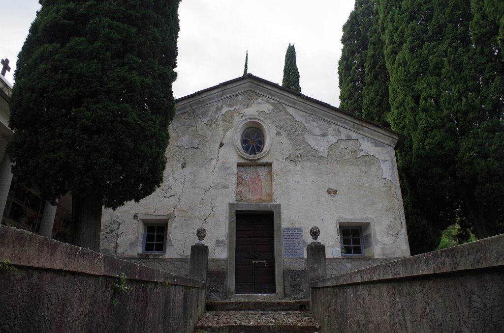
Are there museums, churches or historic buildings to visit in Isolabona?
The main religious building is the Parish Church of San Giovanni Battista, which preserves elements of earlier construction beneath seventeenth- and eighteenth-century Baroque decoration; the exterior and bell tower are freely accessible at any time, and the interior is typically open around Mass times. The medieval street fabric of the historic centre — with its archways, narrow lanes and multi-phase stonework — functions as an open-air architectural document requiring no admission. No dedicated municipal museum is documented for Isolabona; visitors seeking broader collections should plan a short trip to nearby Dolceacqua or Ventimiglia.
What can you do in Isolabona? Activities and experiences
Walking is the central activity: waymarked paths link the village to Apricale, Castelvittorio, Dolceacqua, Pigna and Rocchetta Nervina, covering valley floor, terraced hillside and high ridge terrain up to 700 m. The ridge trails follow former transhumance and mule-track routes, with original stone paving visible in sections. In autumn, visiting local food shops and periodic markets in the wider Imperia area to purchase Riviera Ligure DOP extra virgin olive oil and cured Taggiasca olives is a practical food-tourism activity. The compact historic centre is walkable in under an hour, making Isolabona an effective base for a multi-village Nervia valley itinerary.
Who is Isolabona suitable for?
Isolabona suits walkers and hiking enthusiasts who want direct access to a dense network of valley and ridge footpaths without large crowds. Couples and slow-travel visitors seeking authentic medieval village atmosphere, good olive oil, and a quiet base for exploring five interconnected Nervia valley communities will find the village well suited to that style of trip. Families with older children who can manage uneven stone lanes and moderate trail gradients will find the scale manageable. The village is less suitable for visitors expecting a full independent itinerary of monuments, nightlife or beach access — the coast at Ventimiglia is approximately 15 km away.
What to eat in Isolabona? Local products and specialties
The Nervia valley food tradition centres on Riviera Ligure DOP extra virgin olive oil, produced from the Taggiasca olive cultivar grown on the surrounding fasce; the oil has a mild, slightly fruity profile and low acidity, and the cured Taggiasca olive is also eaten as a table variety. Regional dishes documented in this part of western Liguria include la mescüa (a thick cold-weather soup of chickpeas, borlotti beans and wheat grains dressed with local oil), stoccafisso accomodato (stockfish slow-cooked with olives, pine nuts and potatoes), and farinata (a flat chickpea-flour preparation baked at high temperature), available in local bakeries and focaccerie.
📷 Photo Gallery — Isolabona
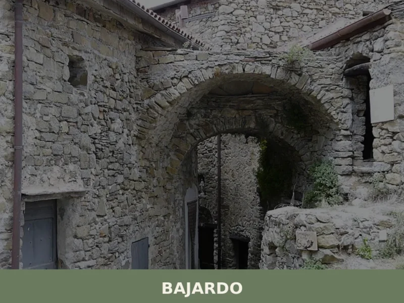
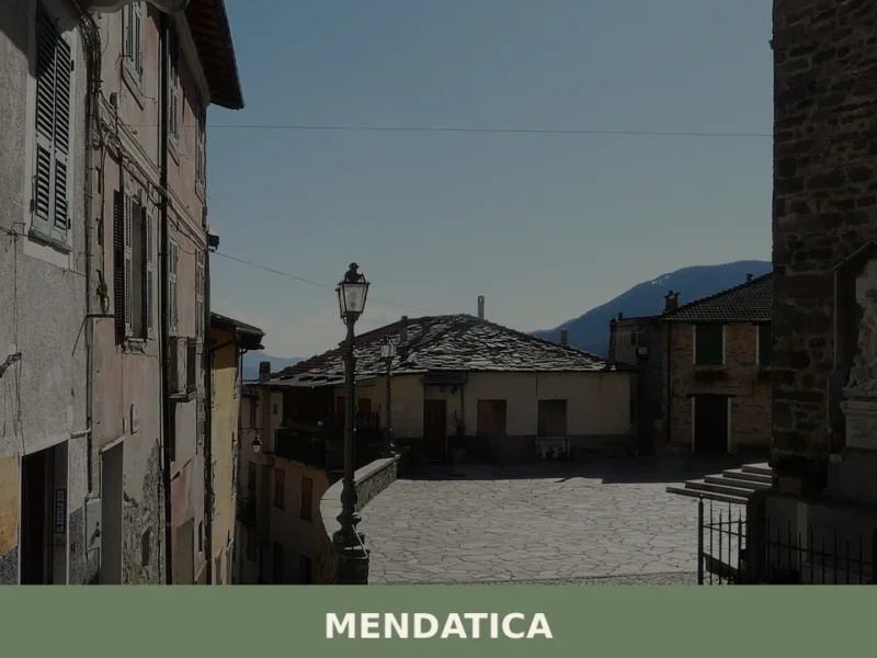
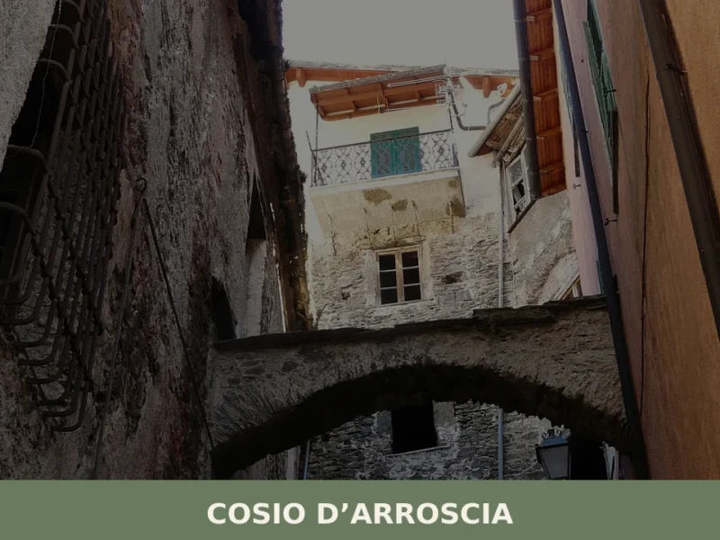
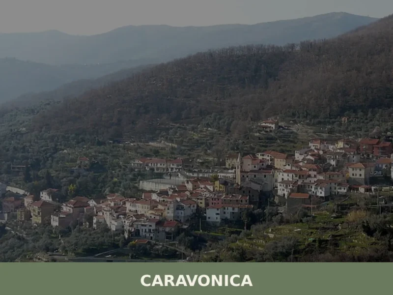
Nearby Villages near Isolabona
In Liguria More villages to discover
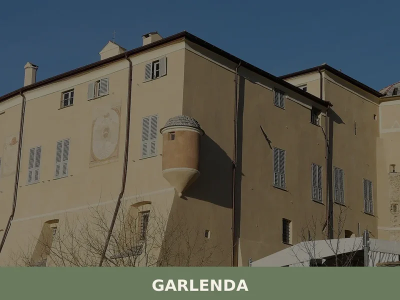
Garlenda
What to see in Garlenda, Liguria, Italy: explore a village of 1,200 inhabitants 80 km from Genoa. Discover top attractions, local food, and how to get there.
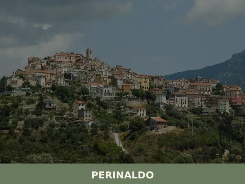
Perinaldo
what to see in perinaldo, Italy: Discover the 15th-century church and Cassini Observatory in this Ligurian village of 913 inhabitants. Explore Perinaldo now.
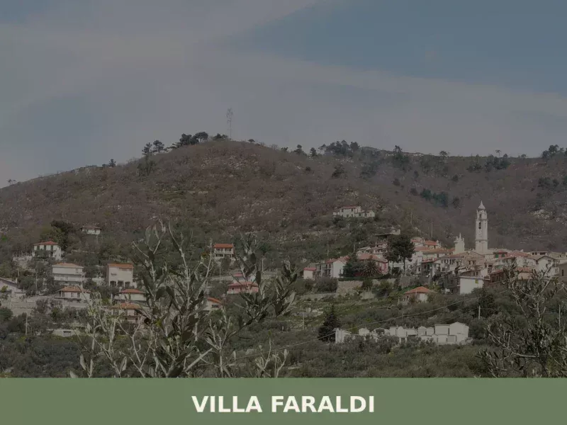
Villa Faraldi
what to see in villa faraldi: Discover this Italian village of 452 inhabitants in Liguria. Explore historic alleys and scenic views. Read our guide to Villa Faraldi, Italy.
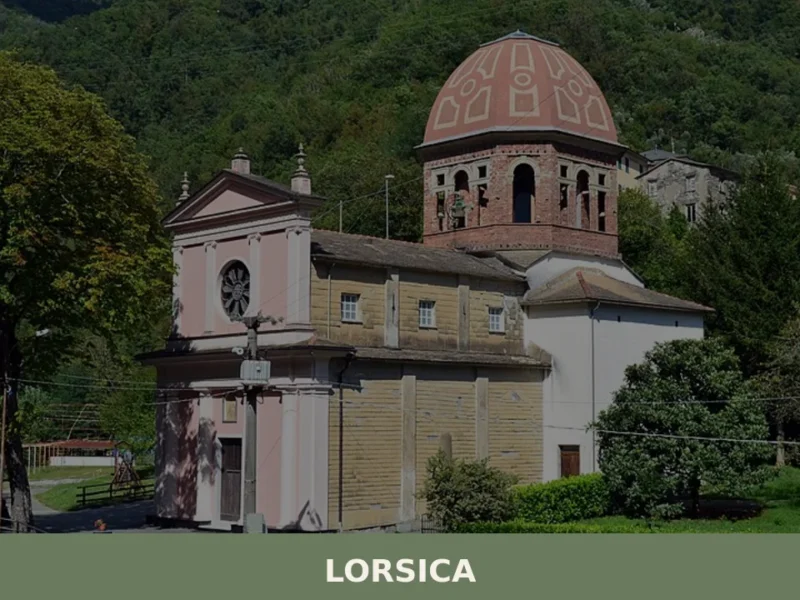
Lorsica
What to see in Lorsica: a Ligurian village at 343 m with 395 residents. Explore historic churches, Val Sturla trails and local food. Plan your visit today.
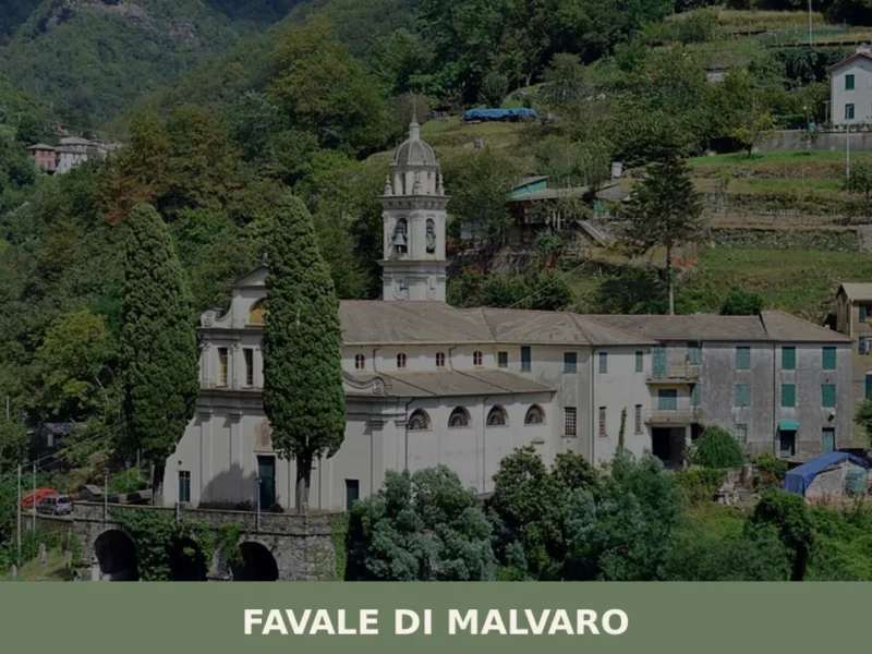
Favale di Malvaro
In 1892, Amadeo Pietro Giannini left Favale di Malvaro for America. The son of Ligurian emigrants, he went on to found the Bank of Italy in San Francisco in 1904, which later became Bank of America — for decades the largest banking institution in the world. This small village in the Fontanabuona valley, home to […]
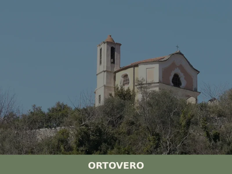
Ortovero
what to see in ortovero: Explore Italy's Ligurian coast. Located 40 km (25 mi) from Savona, discover historic Ligurian architecture and regional culinary traditions. Read on for travel tips.
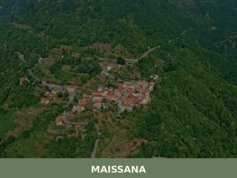
Maissana
What to see in Maissana, Italy: 644 inhabitants, 50 km from Genoa. Discover top attractions, local food, festivals and how to get there. Explore now.
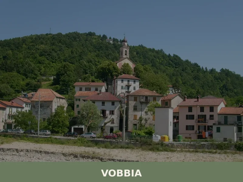
Vobbia
What to see in Vobbia, Italy? Explore this Ligurian village of 453 inhabitants, a gateway to Antola Regional Natural Park and its scenic trails. Discover local architecture and panoramic views.
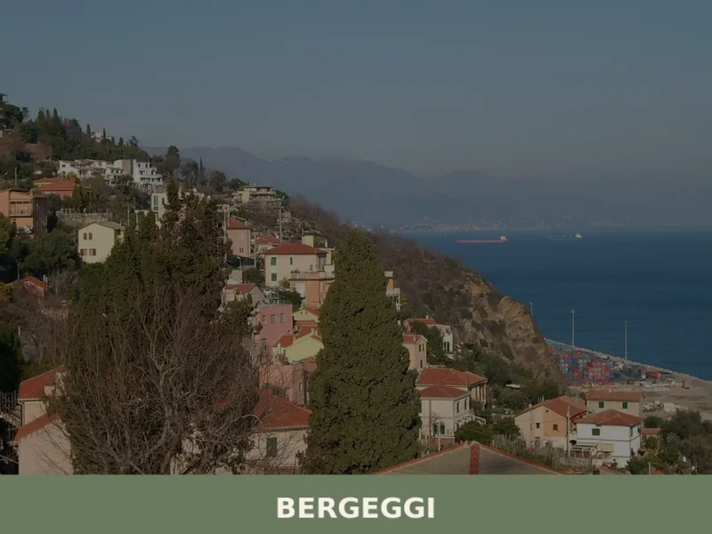
Bergeggi
The limestone bluffs that drop into the Ligurian Sea west of Savona do not ease the traveller in gently. The coastline here is direct: rock, water, and the smell of salt on warm stone. Bergeggi sits at roughly 10 km (6.2 mi) from Savona, at a point where the Via Aurelia, the ancient Roman road […]
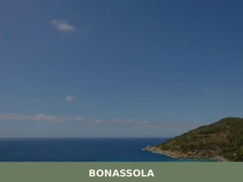
Bonassola
Bonassola’s single-track railway station, opened in 1874 as part of the Genoa–La Spezia line, brought the first outsiders to a coastal settlement that had survived for centuries on olive oil, wine, and anchovies. Today this compact village of 794 inhabitants sits at six metres above sea level along the Riviera di Levante, its beach one […]


🏡 Know Isolabona better than we do?
If you’re a local or have been there, your knowledge matters: add what’s missing or fix a detail on this page.