


Nuraminis
Discover Nuraminis, a Sardinian village with ancient nuraghi, Byzantine treasures & a Gothic-Catalan church. Your guide to an unmissable cultural escape.
Nuraminis Sardegna: History, Monuments and Travel Tips
Stone the colour of sun-bleached wheat, a Byzantine fragment embedded in a church facade, and the faint outline of four ancient nuraghi standing sentinel over a limestone ridge — this is what greets you when you slow down long enough to look. The Campidano plain stretches flat and golden in every direction, and the air carries the dusty warmth of a landscape that has absorbed human presence for millennia.
Nuraminis Sardegna sits at 91 metres above sea level in the metropolitan city of Cagliari, home to around 2,305 people, and rewards curious travellers with two very specific pleasures: extraordinarily layered archaeology that runs from the pre-nuragic age to the medieval period, and a Gothic-Catalan parish church whose facade hides a tenth-century secret older than the building itself.
History and Origins of Nuraminis
The name itself is a clue. A document dated 1341 records the settlement as de Noramine calaritane diocesis, and linguists have traced the root to a pre-Roman, proto-Sardinian element: nur, later nurra, meaning a chasm, a crack in the earth, a well-shaped ravine, or simply a mound. The land around the village, riddled with the calcareous formations typical of the Campidano, lends credibility to every one of those meanings. Before the Romans arrived, before the medieval judges carved up Sardinia into competing territories, this patch of plain already held a name rooted in the physical texture of the ground beneath it.
Human occupation stretches back to the pre-nuragic and nuragic periods, attested by archaeological remains scattered across the municipal territory. Roman presence followed: fragments of columns and coins from the Imperial era have been recovered here, confirming that the settlement sat within the orbit of Roman Sardinia. In the medieval period Nuraminis belonged to the Giudicato di Cagliari — one of the four independent Sardinian kingdoms — and served as the administrative capital of its own curatoria. When the Giudicato fell in 1258, a brief Pisan interlude preceded Aragonese domination, which would shape the village’s political identity for the next several centuries.
The feudal chapter is long and complicated. In 1355, King Peter IV of Aragon — known as il Cerimonioso, the Ceremonious — granted Nuraminis as a fief to Francesco di Valguarnera. After the Valguarnera line died out in 1436, the village passed through the hands of several noble families in succession: the de Besora, the Bertran, the Capdevilla, the Gualbes, the Brondo, and finally the Bon Crespi, from whom it was redeemed in 1839 when the feudal system was abolished across Sardinia. During the eighteenth century the community had already begun to recover its vitality, establishing a monte granatico — a communal grain reserve — and a civic council. In the second half of the nineteenth century, the village’s healthy position on the plain attracted new residents, including the noble Aragonese-origin Vaquer family from Villasor, who purchased extensive agricultural land known as Sa Tanca Vaquer and produced figures of distinction during the Risorgimento, contributing to the unification of Italy.
The municipal coat of arms, granted by presidential decree on 17 April 1990, draws its imagery directly from a tenth-century Byzantine marble fragment built into the parish church facade: two birds — identifiable as ravens — facing each other, one holding a leaf in its beak, with a Greek cross at the centre. An image over a thousand years old became the official symbol of a modern municipality.
What to See in Nuraminis: Top Attractions
The Parish Church of San Pietro
The parish church dedicated to Saint Peter stands as the most visible monument in the village centre. Its origins are Gothic-Catalan, reflecting the architectural vocabulary that Aragonese rule spread across Sardinia from the fourteenth century onward. The building was substantially remodelled during the eighteenth century, softening some of its medieval severity, yet the facade preserves something far older and far more surprising: a fragment of Byzantine marble from the second half of the tenth century, carved with two facing birds — identifiable as ravens — one holding a leaf in its beak, and a Greek cross, repurposed as spolia when the church was built or later restored. This small carved panel is not merely decorative — it inspired the entire iconographic programme of the municipal coat of arms. Visitors who look carefully at the facade will find this ancient piece set among later stonework, a quiet collision of epochs. The church is generally accessible during morning hours and before evening Mass.
The Nuragic Station of Santa Maria
A short distance from the village centre, at the base of the limestone ridge known as Sa Kòrona, the nuragic station of Santa Maria represents one of the most significant prehistoric complexes in this part of the Campidano. What makes the site unusual is its defensive arrangement: four separate nuraghi encircle the station, positioned to control the surrounding terrain from multiple angles. This kind of multi-tower layout speaks to the strategic importance the Bronze Age communities placed on this specific location. The calcareous outcrop of Sa Kòrona rises above the flat plain like a natural watchtower, and the nuraghi amplified that natural advantage with human construction. Visitors with an interest in Sardinian prehistory will find this site a compelling complement to better-known complexes elsewhere on the island. The terrain requires sturdy footwear, and early morning visits avoid the midday heat of the open plain.
The Municipal Coat of Arms and Civic Heritage
While not a monument in the conventional sense, the heraldic identity of Nuraminis deserves attention as a concentrated expression of local history. The coat of arms, formalised by a council deliberation on 10 December 1987 and officially conferred by presidential decree on 17 April 1990, reproduces the imagery of the Byzantine marble fragment on the church facade. The banner — a cloth divided vertically between yellow and green — accompanies the shield on all formal civic occasions. Together they represent a rare instance of a community choosing its symbols not from dynastic tradition or invented mythology, but from a physical artefact embedded in its most important building. The municipal offices, reachable through the official portal at www.comune.nuraminis.su.it, can provide information on civic events where the gonfalone is displayed.
Sa Tanca Vaquer and the Agricultural Landscape
The agricultural estate historically known as Sa Tanca Vaquer — acquired by the noble Vaquer family of Villasor in the nineteenth century — represents a different layer of the village’s heritage: the working landscape of the Campidano. This large orchard and farmland holding shaped the economic and social life of Nuraminis during the period of post-feudal growth, and the Vaquer family’s integration into local life brought with it connections to the broader currents of Italian Risorgimento politics. Today the flat, cultivated land surrounding the village still carries the character of that era, with field boundaries and rural tracks that predate modern road planning. Travellers interested in rural heritage and landscape history will find the area around Nuraminis worth exploring on foot or by bicycle, particularly in spring when the Campidano is at its most vivid.
Connections to the Wider Campidano
Nuraminis does not exist in isolation. Its position on the Campidano plain places it within easy reach of several towns and villages that together build a richer picture of southern Sardinia. The regional capital, accessible via a direct connection that makes Cagliari an easy day-trip base, sits roughly 25 kilometres to the south. Nearby Sanluri offers a medieval castle and a museum of the Risorgimento that resonates directly with the Vaquer family’s history. Further afield, the mining coast around Carbonia and the mountain village of Aritzo offer contrasting Sardinian experiences worth including in a longer itinerary.
Food and Local Products of Nuraminis
The Campidano has always been Sardinia’s granary, and the food culture of Nuraminis reflects that agricultural identity with directness and depth. Wheat, legumes, olive oil, and seasonal vegetables form the backbone of a local cuisine that has never needed to reach for exotic ingredients. Pane carasau — the paper-thin, twice-baked flatbread that travels as well as it tastes — is a constant presence, eaten plain, dipped in oil, or layered with whatever the kitchen has produced that morning. Pasta shapes particular to the Campidano tradition appear at family tables, dressed with slow-cooked meat ragù or with fresh sheep’s cheese and black pepper, simple combinations that depend entirely on the quality of the raw ingredients.
Sheep farming remains central to the agricultural economy of this part of Sardinia, and the dairy products that result — fresh pecorino, aged fiore sardo, ricotta still warm from the morning milking — are among the most direct ways to taste the landscape. Local producers around Nuraminis maintain these traditions with relatively little mediation between animal and table. Visitors who arrange visits to farms in the area during the cooler months of the year, when cheese production is at its peak, encounter a food culture that remains genuinely embedded in seasonal rhythms rather than performed for tourism. The village’s position on the plain also means access to excellent table olives and oils from the surrounding groves, pressed in the local frantoio during the November and December harvest.
Meat cookery follows the pastoral calendar. Lamb roasted over myrtle wood, suckling pig cooked slowly on a spit, and the dense, celebratory stews prepared for feast days all appear in the kitchens of Nuraminis as they do across the Campidano. Sweet preparations draw on almonds, honey, saffron — which Sardinia produces in significant quantities — and lard-enriched pastry doughs that produce the brittle, fragrant biscuits found at every local celebration. The dialect spoken in Nuraminis is campidanese occidentale, the western variant of Campidanese Sardinian, and the names of traditional dishes in this variant carry their own linguistic archaeology, worth asking about when you sit down to eat.
When to Visit Nuraminis and How to Get There
Spring and autumn are the most rewarding seasons for a visit to Nuraminis Sardegna. From March through May the Campidano plain turns green and then gold, temperatures stay manageable, and the archaeological sites are comfortable to explore on foot. September and October bring the grape and olive harvests, a period of local activity that gives the village extra animation. Summer concentrates intense heat on the flat plain — July and August regularly exceed 35°C — which makes outdoor exploration tiring and midday hours genuinely unpleasant. Winter is mild by mainland Italian standards and the village is quiet, but the countryside retains a spare beauty and the cheese-making season is in full swing.
If you arrive by car, the most direct route from Cagliari follows the Strada Statale 131 Carlo Felice, the main north-south artery of Sardinia, which runs along the western edge of the built-up area. Provincial roads 33 and 54 bis connect Nuraminis to neighbouring municipalities. Visitors travelling by rail can use the Serramanna-Nuraminis station, located in the adjacent municipality of Serramanna on the Dorsale Sarda line, served by Trenitalia. For those building a broader Sardinian itinerary, the village of Arbus on the southwestern coast makes a scenic contrast, reachable by car in under an hour.
| Departure | Distance | Time |
|---|---|---|
| Cagliari | approx. 25 km | 25–30 min by car |
| Sanluri | approx. 18 km | 20 min by car |
| Serramanna (train station) | approx. 4 km | 8 min by car / 20 min on foot |
| Arbus | approx. 55 km | 50–60 min by car |
| Cagliari Airport (CAG) | approx. 30 km | 30–35 min by car |
Frequently asked questions about Nuraminis
How do you reach Nuraminis by car or public transport?
By car, Nuraminis is reached from the SS131 (Carlo Felice), exits at Monastir or Sanluri, then following provincial roads towards the town. It is about 25 km from Cagliari. By train, the nearest stations are Monastir or Sanluri on the Cagliari–Oristano line. The ARST service connects Nuraminis to Cagliari by bus; it is advisable to check updated schedules on the official ARST Sardegna website.
When is the feast day of the patron saint San Pietro Martire celebrated in Nuraminis?
San Pietro Martire, patron saint of Nuraminis, is celebrated on 29 April, the traditional liturgical date dedicated to this Dominican saint. On this occasion the town organizes processions, solemn masses and popular festivities. It can be an interesting opportunity to witness the religious and folkloric traditions of Campidano, including traditional Sardinian clothing and local music.
How much time is needed to visit Nuraminis?
A complete visit to Nuraminis, including the parish church with its Byzantine fragment on the façade, nuragic sites in the surrounding area and the historic centre, requires on average half a day. It is advisable to combine it with a broader itinerary in Campidano, visiting nearby centres such as Monastir or Senorbì on the same day, to optimize travel in the Cagliari plain.
Are there agritourism facilities or accommodations in Nuraminis?
Nuraminis is a small centre of about 2,577 inhabitants and local accommodation is limited. In the surrounding area, in the Campidano zone between Monastir, Serramanna and Sanluri, there are several agritourism facilities offering accommodation and typical Sardinian cuisine. For more structured stays, Cagliari, about 25 km away, offers a wide choice of hotels, B&Bs and tourist facilities of every category.
In Sardinia More villages to discover
Banari
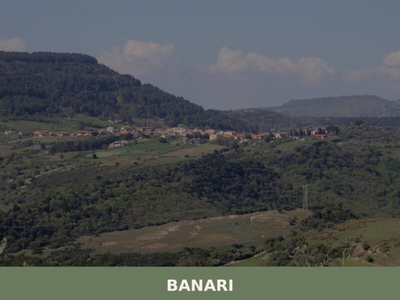
Morning light catches the limestone facades along Via Roma, turning them the colour of raw honey. A rooster calls from behind a courtyard wall. Somewhere below, the Meilogu plain stretches north toward Sassari, its patchwork of olive groves and grain fields still holding the night’s mist. Banari — population 516, perched at 419 metres above […]
Bessude
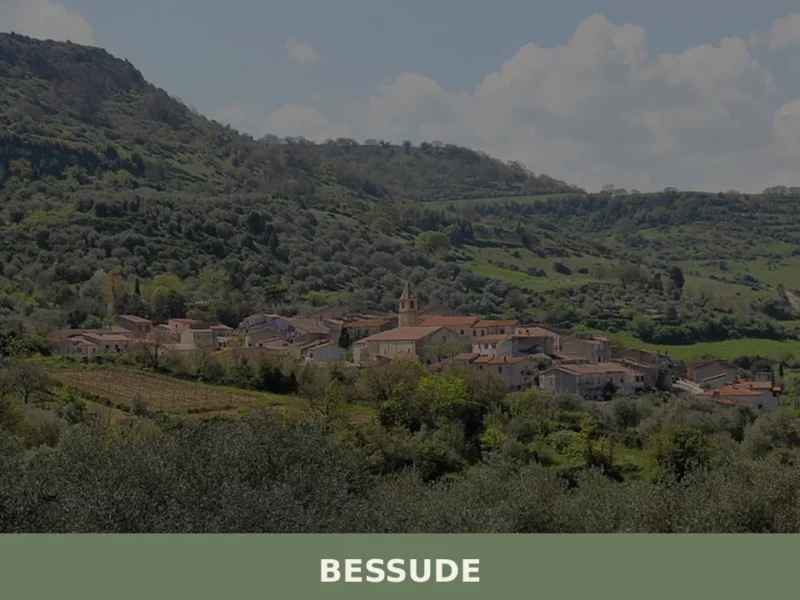
At 447 meters above sea level, with a population of 383 inhabitants as of 2023, Bessude is a small town in Logudoro-Meilogu, in the province of Sassari, whose existence is documented at least since 1341 in the Rationes Decimarum Sardiniae. The village, known for its hilly location and the Nuragic remnants that surround its territory, […]
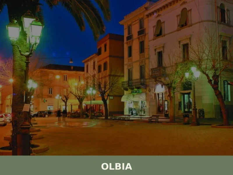
Olbia
Discover Olbia, a charming village in Sardegna, Italy. Explore its rich history, stunning landscapes, and vibrant local culture in this Mediterranean treasure.
Ardara
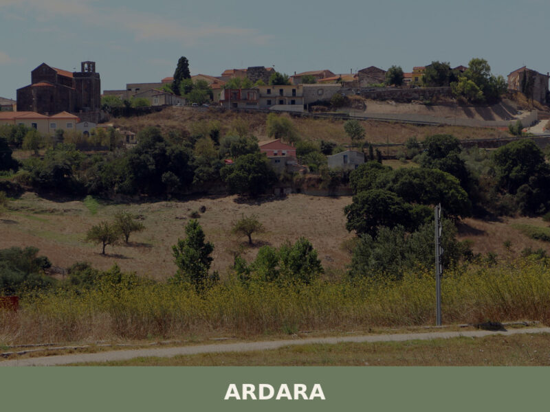
Morning light strikes the dark basalt walls of an old church, turning the stone the colour of wet coal. A rooster calls from somewhere behind the municipio. Ardara sits on a low rise at 296 metres above sea level in the province of Sassari, a village of 729 people that once served as the capital […]
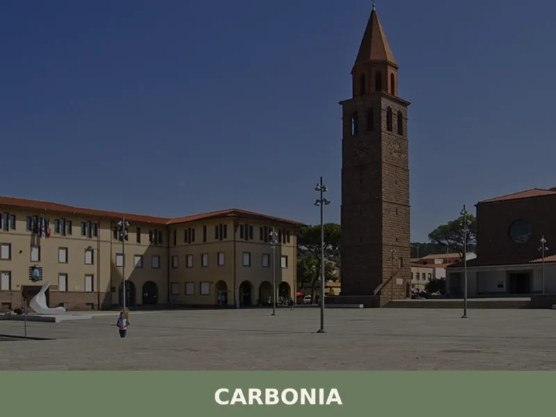
Carbonia
What to see in Carbonia: 28,684 residents, rationalist architecture, and Nuragic sites in Sulcis Iglesiente. Plan your visit to the Coal Museum and Monte Sirai.
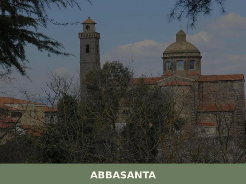
Abbasanta
Scopri Abbasanta, affascinante borgo sardo ricco di storia, cultura e tradizioni. Un viaggio autentico nel cuore della Sardegna da non perdere.
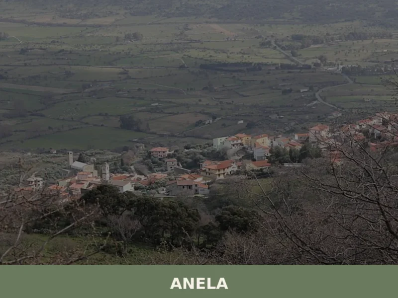
Anela
Discover what to see in Anela, Sardinia: Neolithic tombs at Sos Furrighesos, the Chiesa di San Giorgio, highland forests, and authentic pastoral cuisine.
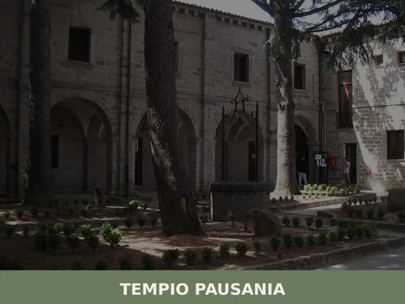
Tempio Pausania
What to see in Tempio Pausania: granite city at 566m, 13,196 residents. Discover the Gothic cathedral, Monte Limbara, suppa cuata and Sardinia's only DOCG wine.
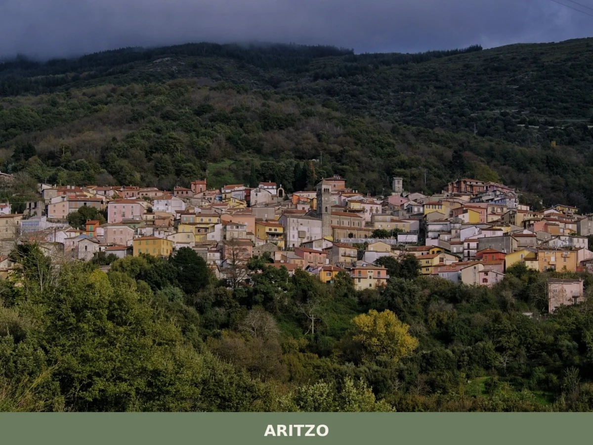
Aritzo
What to see in Aritzo, Italy: Explore a village of 1,272 residents in Sardegna, located 80 km from Cagliari. Discover its unique demographics and geographical setting.

Orotelli
Population 2,140. A plateau village marked by granite outcrops, divided by geological syncline, with medieval ecclesiastical heritage and nuragic foundations in the Nuoro province.


🏡 Know Nuraminis better than we do?
If you’re a local or have been there, your knowledge matters: add what’s missing or fix a detail on this page.