


Orotelli
Population 2,140. A plateau village marked by granite outcrops, divided by geological syncline, with medieval ecclesiastical heritage and nuragic foundations in the Nuoro province.
Orotelli: Granite Heights and Medieval Roots in Central Sardinia
Two stone nuclei face each other across a geological fold—the old center clustered around a Romanesque church on the ridge, and Mussinzua, the new quarter that began climbing northward in the 1930s. Between them runs a syncline carved into granite, a natural divide that has shaped settlement patterns for centuries. This is the physical reality of Orotelli village in Sardinia, where landscape and human choice have never quite aligned on a single slope.
Sitting at 350 metres on a plateau in the province of Nuoro, Orotelli village in Sardinia holds a population of around 2,140 inhabitants and occupies a threshold position in the historical Barbagia region. Visitors drawn to central Sardinia encounter here both archaeological depth—nuragic towers and Bronze Age settlements—and medieval ecclesiastical markers that once made this settlement a temporary seat of bishops and a feudal holding of significance.
Nomenclature and Medieval Standing
The name Orotelli traces to a probable Roman landowner called Ortellius, though local memory has worked the sound over centuries into Oroteddi in the Nuoro dialect. Written evidence surfaces first in the Condaghe di Santa Maria di Bonarcado, a medieval monastic record, and then in the Codex Diplomaticus Sardiniae of 1139, where a bishop named Ugone of Ortilli appears as a donor of rural churches to the Benedictine Monastery of San Salvatore di Camaldoli, placing the village firmly within the episcopal and feudal networks of medieval Sardinia.
That same century, San Giovanni Battista Church served as a temporary cathedral for the bishop of Ottana. By the 14th century, Orotelli ceases to appear in the tithe registers of the period. The village remained part of the curatoria of Dore under the Giudicato of Torres during the early medieval epoch, then shifted to Arborea, then to Aragonese suzerainty. By 1617 it entered the Marchesato of Orani, a feudal entity that eventually passed to the De Silva family before the state reclaimed the lands in 1839, ending the last vestiges of private noble rule.
Nuragic Foundations and Archaeological Terrain
Bronze Age settlement left tangible marks. The Nuraghe of Càlone crowns the hilltop dominating the village entrance—a modest but intact tower structure in local basalt-and-granite construction tradition. A second, larger nuraghe with central tower and trilobed bastion has been recovered within the Sa Serra natural park, evidence that this granite plateau drew pastoral and defensive populations well before medieval administrative divisions took shape.
The broader territory records additional nuragic presences: the sites of Aeddos, Athentu, Corcove, Passarinu and Sarcanai confirm that Bronze Age communities exploited the plateau’s springs and grazing grounds. Pre-nuragic occupation also appears in the form of a dolmen in the Sinne locality, while the Giants’ Tombs of Forolo and Sa turre ‘e su campanile mark later Bronze Age burial practice. Medieval villages have vanished into toponyms alone—Arae, Forolo, Idili, Miale, Santu Chiricu—yet their churches remain, scattered across the landscape as physical witnesses to a more dispersed settlement pattern than the modern center preserves.
San Giovanni Battista: Romanesque Stone on the Ridge
Built around 1116, the Church of San Giovanni Battista commands one of the highest points in the center, its weathered trachite blocks and distinctive triple-tiered facade visible across the valley that slopes southward. The original plan followed a tau cross—a single nave ending in an apse, with transept arms.
The exterior wall divides into three sections by horizontal string courses; the lowest frames the portal with its archivolt and lunette, the middle section holds a central oculus and a row of small arches on corbels, while the uppermost repeats this corbelled arcade. The apse preserves a narrow window carved with a Greek cross. A 14th-century campanile sits beside the choir, decorated with low-relief figures and cryptic symbols whose meaning remains debated among local historians.
Major interventions arrived in the 1960s, when a 17th-century wooden altar was removed and two side aisles were added to increase nave capacity. On the church’s north side, a recently restored rounded arch portal once gave access to a Benedictine monastery and marked the boundary of the medieval cemetery. The romanesque lineaments survive despite centuries of repair, but the interior modern additions have fundamentally altered the original spatial proportion.
Secondary Sacred Sites and Rural Churches
The territory holds multiple churches reflecting different periods and abandoned settlements. The Church of San Lussorio, a short walk from the parrocchiale, displays squared granite blocks and a separate stone campanile, dating to the 18th century with its austere quadrangular geometry. The Church of the Santissimo Salvatore (16th century) now stands within the cemetery boundary, its broad presbytery separated from the nave by an acute-angled arch. Rural chapels dedicated to San Michele, Sant’Antonio Abate, San Pietro di Oddini, Madonna di Sinne and Madonna di Liscoi scatter across the surrounding land, marking vanished hamlets or seasonal gathering places. The Church of the Spirito Santo and Sa Itria complete the local roster of worship sites.
Geology, Water and Settlement Logic
Orotelli’s dual settlement pattern—old center and Mussinzua divided by the syncline—reflects the village’s peculiar terrain. Granitic outcrops, particularly tonalite in the Serra d’Orotelli to the north, characterize the upper plateau. Moving south, the stone transitions to inequigranular granodiorite. The syncline itself drains northeastward toward the Ottana plain, creating a natural fault line that early inhabitants would have recognized as a water source and a boundary.
Tradition preserved a parable of settlement origin: a shepherd from nearby lands lost his herd, searched in despair, and at last found his animals drinking at the Iscathai fountain. So moved by this discovery, he chose to settle there with his family, establishing the first nucleus. Whether literal or symbolic, the story encodes a fundamental truth about upland Sardinian habitation—water announces place, and place announces survival.
The modern Mussinzua quarter, begun in the 1930s, pushed northward along the road toward Nuoro and continues to expand, while the historic center maintains its older fabric around San Giovanni. This division persists as a lived geography, not merely a historical curiosity.
Local Voice and Tenore Singing
The variant of Sardinian spoken in Orotelli belongs to the Nuoro dialect. Beyond speech, the village maintains a distinctive practice of tenore singing—four-part male vocal harmony—that differs in structure and repertory from other Sardinian tenore traditions. The repertoire includes Sa Seria, Su Traccheddu, Su Passu Torradu, Ammadiridoe (a round dance form), Attitu a zorzi, Dillu and Muttos, each with its own melodic and rhythmic character rooted in local celebration and mourning rituals.
The Carnevale Barbaricino unites Orotelli with neighbouring Mamoiada and Ottana in a coordinated festival running from January 16 (the lighting of Sant’Antonio’s fire) through Carnival Tuesday. Orotelli’s signature masks are the thurpos—masked figures distinct from the mamuthones of Mamoiada and the oes of Ottana, each costume and character emerging from local social history and communal memory.
Access and Planning Your Visit
Orotelli lies approximately 18 kilometres south of Nuoro, the provincial capital. The village sits along the Macomer–Nuoro railway line, with a station serving ARST train connections to regional destinations. By road, the SS131dcn connects to Nuoro and to other Barbagia centers. If you arrive by car from Nuoro, allow 25–30 minutes on winding mountain roads; the drive itself crosses high pasture plateaus and granite ridges that frame the approach visually.
The historic center clusters around San Giovanni Battista Church and is best explored on foot; narrow streets and stairs between stone buildings suit walking better than vehicles. The newer Mussinzua quarter extends northward and is more car-oriented. Late spring through early autumn offers the most reliable weather, though winter brings occasional rain and rare snow to the 350-metre altitude. The village functions as an agricultural community, so services close on Sunday afternoons and many shops observe traditional meridian breaks.
Visitors planning a multi-day stay in central Sardinia might combine Orotelli with nearby Nuoro, where regional museums and urban amenities complement the quieter village rhythm. For hiking and archaeology enthusiasts, the Sa Serra natural park and the scattered nuragic sites reward exploration with local guides who can navigate access and land permissions. The nearest larger town with hospital and commercial facilities is Nuoro itself.
| Departure point | Distance | Driving time |
|---|---|---|
| Nuoro (provincial capital) | ≈18 km | 25–30 min |
| Macomer (railway hub) | ≈45 km | 50–60 min |
| Orani (adjacent municipality) | ≈8 km | 12–15 min |
Institutional Recognition and Contemporary Status
In 2012, Orotelli joined the Borghi Autentici d’Italia network, a national association dedicated to preserving villages of architectural and cultural coherence. The commune received its official coat of arms and civic banner by presidential decree on June 7, 2011, formalizing symbols that represent local identity in regional contexts. A municipal library, named after the local poet Nunzio Cossu, serves the reading public and hosts occasional cultural events.
The village maintains the rhythms of a working Barbagia settlement—agriculture, small commerce, and family ties remain the social substrate—without having surrendered entirely to tourism or depopulation. The Sa Serra natural park, managed jointly with regional authorities, preserves grazing land and archaeological sites while offering visitors a managed access point to the broader landscape. Orotelli thus occupies a precarious but resilient middle ground: neither abandoned nor transformed into a theme park of itself.
Frequently asked questions about Orotelli
How do I reach Orotelli from the nearest major city?
Orotelli lies in Nuoro Province, central Sardinia, at 350 metres elevation. The nearest significant hub is Nuoro city, approximately 30 kilometres away by road. Access is via the SS131 Carlo Felice state road. The closest airport is Olbia Costa Smeralda (approximately 150 km northeast). There is no direct train service to Orotelli; the nearest railway station is Nuoro, served by regional connections. A rental car is recommended for exploring the village and surrounding Barbagia region.
When is the feast day of San Giovanni, the village patron saint?
San Giovanni Battista (Saint John the Baptist) is celebrated on 24 June each year. This is the traditional patronal feast of Orotelli and typically marks the principal religious and social event in the village calendar. Local celebrations usually include processions, religious services at the Romanesque church on the ridge, and traditional gatherings. June is late spring in Sardinia, with warm, dry weather ideal for festival attendance.
What is the best time of year to visit Orotelli?
Late spring (May–June) and early autumn (September–October) offer optimal conditions: temperatures between 20–28°C, low rainfall, and accessibility to outdoor exploration. June coincides with the San Giovanni feast. Summer (July–August) brings heat above 30°C and increased tourist crowds. Winter months are mild but wetter. The plateau location at 350 metres provides cooler conditions than coastal Sardinia, making shoulder seasons particularly comfortable for hiking and village walks.
Are there documented hiking trails around Orotelli?
Orotelli sits within the Barbagia region, historically rich in nuragic archaeological sites and Bronze Age settlements. While the article mentions the geological landscape shaped by a granite syncline, specific CAI (Club Alpino Italiano) trail designations or published hiking routes are not confirmed in available sources. Visitors interested in walking should contact Nuoro Province tourism office or local guides for current trail conditions and archaeological site access, particularly regarding nuragic towers in the surrounding terrain.
How long should I plan to spend visiting Orotelli village?
A half-day visit (3–4 hours) allows exploration of the two settlement nuclei: the old centre with the Romanesque San Giovanni Battista church on the ridge and the Mussinzua quarter (developed from the 1930s). This timeframe covers the main architectural and historical landmarks. A full day permits deeper engagement with secondary rural churches, the local landscape, and conversation with residents familiar with tenore singing traditions and village history. Overnight stays enable fuller cultural immersion and exploration of the wider Barbagia context.
📷 Photo Gallery — Orotelli


In Sardinia More villages to discover
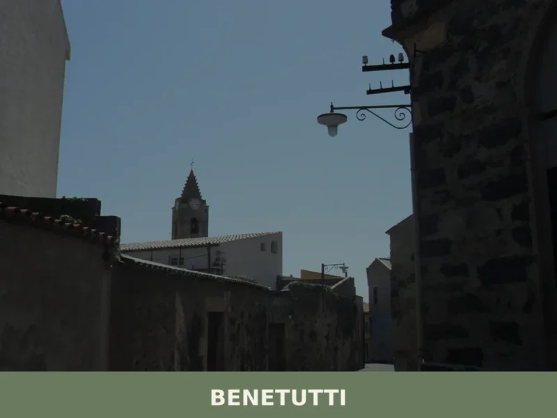
Benetutti
The thermal springs of San Saturnino, known since Roman times for their waters emerging at 43°C, define the identity of Benetutti more than any other element. This village of 1,686 inhabitants, at 406 metres above sea level in the province of Sassari, occupies a stretch of the Rio Tirso valley between granite formations and expanses […]
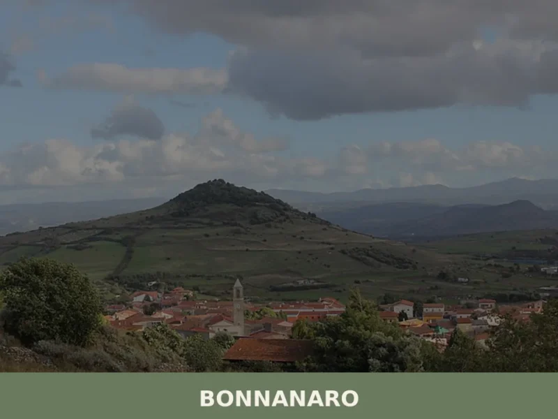
Bonnanaro
In 1388, when representatives of the Sardinian villages signed the peace treaty with the Crown of Aragon, among the signatories was the village of Bonnanaro, an agricultural centre already known for the fertility of its volcanic soils on the slopes of Monte Pelao. Today this village of 921 inhabitants, situated at 405 metres above sea […]
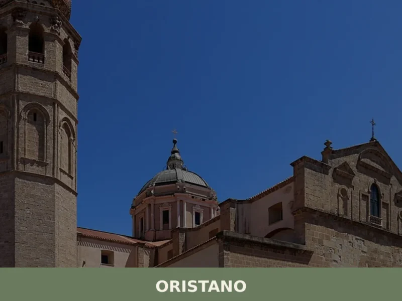
Oristano
What to see in Oristano: 31,095 inhabitants, medieval Giudicato history, the Sartiglia festival and Cabras bottarga. Discover towers, museums and the cathedral. Plan your visit now.

Nuraminis
Discover Nuraminis, a Sardinian village with ancient nuraghi, Byzantine treasures & a Gothic-Catalan church. Your guide to an unmissable cultural escape.
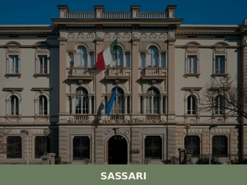
Sassari
Discover Sassari, a captivating village in Sardegna, Italy. Explore its rich history, vibrant culture, stunning architecture, and authentic Italian charm.
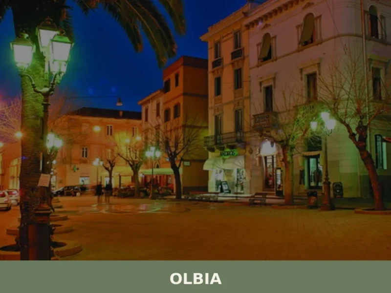
Olbia
Discover Olbia, a charming village in Sardegna, Italy. Explore its rich history, stunning landscapes, and vibrant local culture in this Mediterranean treasure.

Arbus
What to see in Arbus, Sardegna, Italy: explore coastal cliffs, historic mining sites and local food traditions. Discover the best of this South Sardinia village.
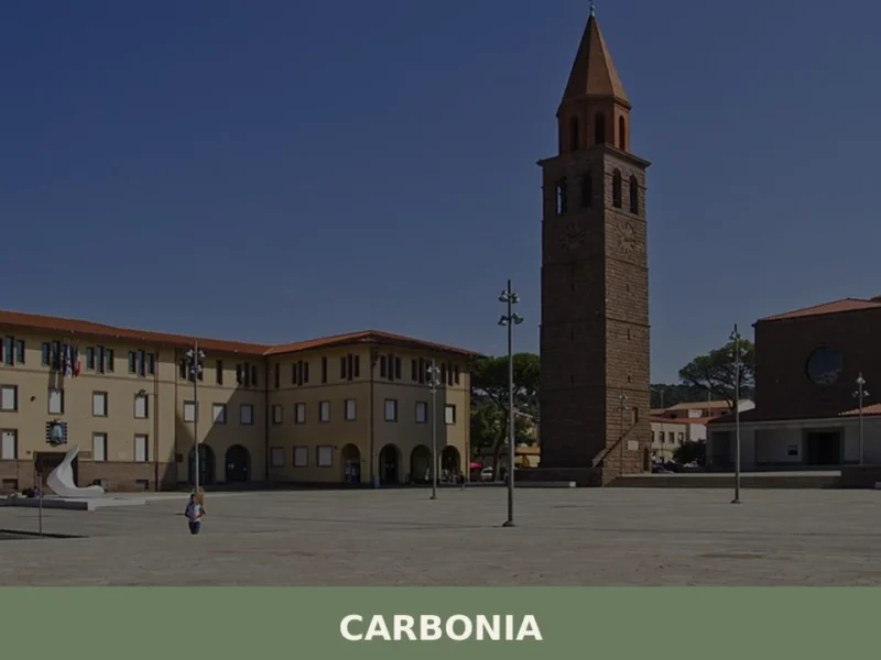
Carbonia
What to see in Carbonia: 28,684 residents, rationalist architecture, and Nuragic sites in Sulcis Iglesiente. Plan your visit to the Coal Museum and Monte Sirai.
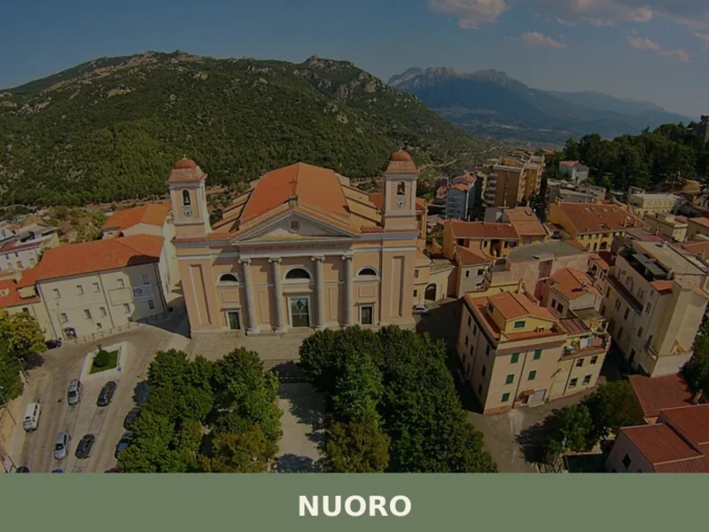
Nuoro
What to see in Nuoro: a city at 547m with 36,379 residents and birthplace of Nobel laureate Grazia Deledda. Explore museums, Monte Ortobene and Barbaricino cuisine. Plan your visit now.
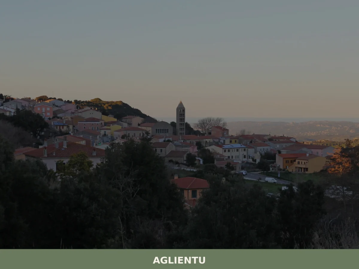
Aglientu
Discover what to see in Aglientu, a Gallura village in north Sardinia: granite coasts, cork oak landscapes, Nuragic sites, and local pecorino culture.


🏡 Know Orotelli better than we do?
If you’re a local or have been there, your knowledge matters: add what’s missing or fix a detail on this page.