


Rezzoaglio
What to see in Rezzoaglio, Italy: explore the Aveto Natural Regional Park, local food traditions and 1,048 inhabitants village life. Discover everything here.
Discover Rezzoaglio
The Aveto torrent cuts through the valley floor at a steady pace, cold and clear even in summer, framed on both sides by forested ridges that hold their elevation well above 1,000 m (3,281 ft).
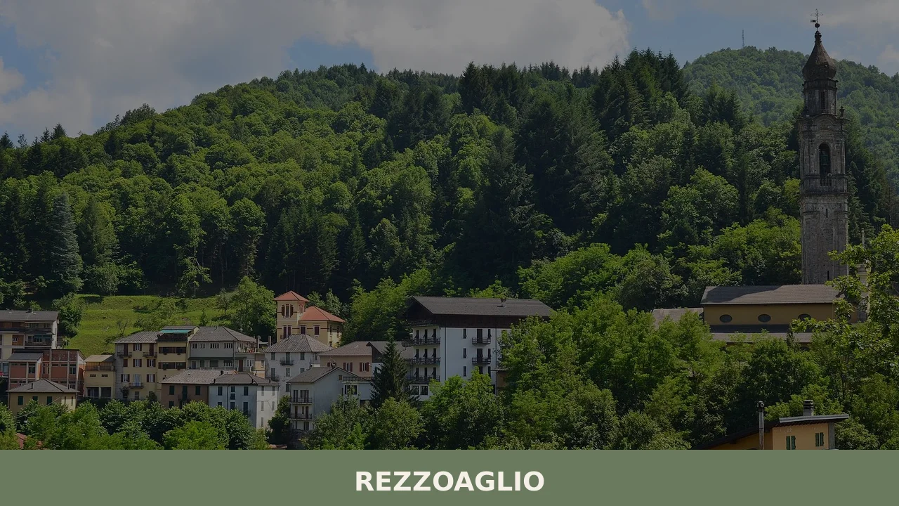
The village of Rezzoaglio, with a population of 1,048, sits at the junction of several mountain municipalities in the Metropolitan City of Genoa, bordered by eleven neighbouring communes including Borzonasca, Rovegno, and Fontanigorda.
Its Ligurian name, Rezzoagi, and its local dialect variant, Rosagni, suggest a settlement whose identity was shaped over many generations of mountain life, far from the Ligurian coast.
Knowing what to see in Rezzoaglio means understanding that this is above all a place defined by its natural setting: 40 km (25 mi) northeast of Genoa, deep inside the Aveto Natural Regional Park, one of Liguria’s most extensive protected areas. The municipality’s 1,048 residents live within a landscape of river corridors, beech woods, and ridgeline trails. Visitors to Rezzoaglio find an intact inland valley system, a starting point for walks into the regional park, and a close-knit network of villages that preserves the material culture of the Ligurian Apennines.
History of Rezzoaglio
The name Rezzoaglio carries linguistic layers that point toward a pre-medieval origin.
The Ligurian form Rezzoagi and the locally used Rosagni diverge enough to suggest that the toponym evolved separately in the written and spoken registers over many centuries. Place names ending in similar suffixes in the Ligurian Apennines are often associated with early medieval Latin or Germanic roots, reflecting the successive waves of Lombard and Frankish settlement that reorganised mountain communities in the 7th to 9th centuries. The Aveto Valley, positioned along secondary routes between the Ligurian coast and the Po plain, would have been traversed and gradually settled during this period of post-Roman reorganisation.
By the central Middle Ages, the upper Aveto Valley formed part of the feudal territory contested between the Republic of Genoa and various noble houses with interests in the Apennine passes.
The eleven municipalities that today border Rezzoaglio — including Favale di Malvaro, which lies in the same eastern Ligurian mountain zone — reflect the fragmented administrative geography that Genoa consolidated over several centuries.
Control over valley resources, particularly timber, pastureland, and water, drove much of the political negotiation between Genoa and local lords during the communal period of the 12th and 13th centuries.
Under the Republic of Genoa and later under Napoleonic reorganisation and the subsequent Kingdom of Sardinia, the Aveto Valley municipalities underwent successive administrative regroupings. Rezzoaglio emerged as a distinct commune within the modern provincial framework centred on Genoa, a status it retains today within the Metropolitan City of Genoa. The 20th century brought significant demographic pressure, as mountain communities across the Ligurian Apennines lost population to coastal industrial centres, reducing Rezzoaglio from a larger agricultural and pastoral community to its current 1,048 residents.
The physical fabric of the village — stone buildings, valley-floor paths, and communal spaces — reflects this longer arc of rural continuity.
What to see in Rezzoaglio, Liguria: top attractions
Aveto Natural Regional Park — valley core sector
The park covers a substantial portion of the eastern Ligurian Apennines, and Rezzoaglio sits at its operational centre.
The terrain within the park’s Rezzoaglio sector moves from valley floors at roughly 600 m (1,969 ft) up to ridgelines that exceed 1,600 m (5,249 ft), creating a vertical range that supports distinct ecological zones: riparian vegetation along the Aveto torrent, mixed broadleaf woodland at mid-elevation, and open beech forest on the higher slopes. The park protects species of both Apennine and Alpine affinity, and its network of marked trails is maintained by the regional authority.
Autumn is particularly useful for visiting, when reduced leaf cover opens long sightlines across the ridges and trail surfaces are firm after summer.
The Aveto Torrent and its river corridor
The Aveto torrent flows directly through the municipal territory, and its banks constitute one of the most accessible natural features for visitors staying in or passing through Rezzoaglio. The water runs from higher Apennine catchments, staying cold throughout the warmer months, and the riverbed alternates between gravel bars, shallow pools, and sections of faster flow over flat rock. The corridor supports grey heron, dipper, and brown trout, all recorded within the Aveto Natural Regional Park’s fauna inventory.
Walking the river path requires no technical equipment, and distances between access points range between 1 km and 4 km (0.6 and 2.5 mi), making it accessible for most fitness levels during spring and summer.
The village of Rezzoaglio and its stone built centre
The built core of Rezzoaglio is constructed primarily in local stone, with narrow lane systems that reflect the functional logic of a mountain agricultural village rather than any planned urban layout.
The ground floors of several buildings retain evidence of former agricultural use — wide doorways sized for carts, storage niches cut into exterior walls — while upper floors were residential. The settlement pattern follows the valley floor topography closely, with the main inhabited area positioned above flood level. Walking through the centre takes roughly 20 to 30 minutes, and the surrounding hamlets that form the wider municipal territory can be reached by road in under 10 minutes from the village core.
Bordering municipalities and the Apennine ridge network
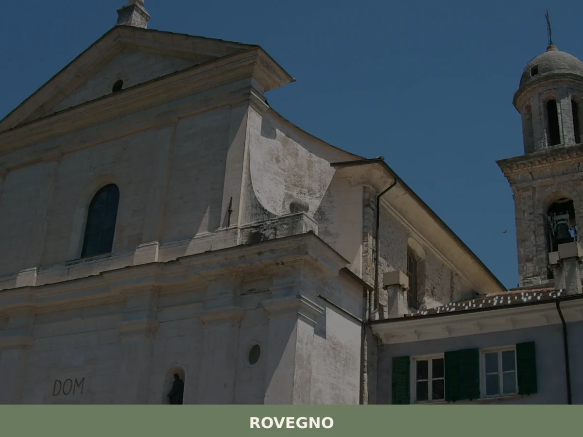
Rezzoaglio borders eleven municipalities, a figure that reflects the density of settlement across the upper Aveto Valley and the adjacent ridges. The ridgeline paths linking Rezzoaglio to neighbouring communes such as Rovegno to the west and Ottone to the north — the latter crossing into the Emilian Apennines — offer walking routes that cover between 8 km and 20 km (5 and 12.4 mi) in a single day, depending on the chosen circuit.
These inter-municipal routes were historically used for pastoral transhumance and the movement of goods between the Ligurian coast and the interior.
Today the same paths form the backbone of the park’s hiking infrastructure, waymarked and described in the regional park’s official trail documentation. The village of Lorsica, another municipality in the eastern Ligurian valleys, shares a comparable mountain trail network and makes a useful reference point for visitors planning multi-day routes.
San Colombano Certénoli road and access landscape
The road approach to Rezzoaglio from the direction of San Colombano Certénoli — one of the eleven bordering municipalities — passes through a sequence of valley sections that change character over roughly 25 km (15.5 mi). Narrow gorge passages alternate with broader valley floors where small hamlets occupy the slightly elevated terraces above the valley bottom. This road corridor itself functions as a viewpoint for the geological structure of the Apennine foothills: the rock exposed in road cuts and riverbanks shows the alternating sandstone and shale sequences typical of the Ligurian flysch formations.
For visitors making a day trip from Genoa, the approach road is part of the experience rather than a transit to be shortened.
Local food and typical products of Rezzoaglio
The food culture of the Aveto Valley reflects the inland mountain logic of Ligurian cuisine rather than the coastal fish-based tradition most commonly associated with the region.
At elevations between 600 m and 1,600 m (1,969 ft and 5,249 ft), the valley’s agricultural history centred on cattle and sheep grazing, chestnut gathering, and the cultivation of cereals on terraced slopes. These constraints produced a cuisine built around preserved and slow-cooked ingredients: cured meats, aged cheeses, dried pulses, and products made from chestnut flour. The Ligurian interior shares culinary logic with neighbouring Emilian mountain communities, reflecting centuries of cross-Apennine exchange along routes that pass directly through the Rezzoaglio area.
The central dish type across the Aveto Valley municipalities is pasta al pesto di noci, a walnut-based sauce served over pasta that predates the more famous coastal basil pesto in documented historical references. Walnuts were a staple crop in the interior valleys where basil could not grow reliably at altitude.
Another important preparation is mesciua, a thick soup of chickpeas, spelt, and borlotti beans originally associated with La Spezia but present in variant forms across Ligurian mountain communities.
Local cheesemakers in the Aveto area produce fresh and semi-aged cow’s milk cheeses from herds that graze the park’s upland pastures during summer months. These cheeses are sold directly from farms and at local markets, and their character shifts noticeably between spring and late summer depending on the pasture composition.
Chestnut flour preparations remain an important part of the mountain food economy across the eastern Ligurian Apennines. Castagnaccio, a flat baked cake made from chestnut flour, olive oil, rosemary, and pine nuts, is made in home kitchens and in some local bakeries through autumn and winter. The texture is dense and slightly bitter, distinct from any wheat-flour equivalent, and the rosemary gives a herbal sharpness to each portion.
Mountain mushrooms — principally porcini (Boletus edulis) — are gathered from the beech and oak woods of the Aveto Natural Regional Park from late summer through October, appearing on local menus preserved in oil, dried, or used fresh in pasta sauces and risotto.
Autumn is the most productive season for local food markets and direct farm sales in the Aveto Valley area.
The mushroom and chestnut harvests, which run from September through November, generate informal sales at roadsides and in village squares across the municipal area. Visitors who arrive between late September and late October will find the widest selection of seasonal products available for purchase directly from producers.
Festivals, events and traditions of Rezzoaglio
The liturgical calendar continues to organise the village’s public celebrations as it has across the Ligurian Apennines for several centuries. Parish feast days bring together residents of the main village and the surrounding hamlets that fall within the municipal territory. These occasions typically involve a religious procession through the village, the ringing of church bells, and outdoor meals organised in the communal spaces adjacent to the church.
The specific date of Rezzoaglio’s patron saint celebration follows the Roman Catholic liturgical calendar and is observed annually, drawing back former residents who have moved to Genoa or the coast over recent decades.
Seasonal events tied to the agricultural and pastoral cycle also mark the year in the Aveto Valley.
The descent of cattle herds from summer upland pastures — a practice known locally as the desmontegada in parts of the Ligurian and Alpine Apennines, though specific local terminology may vary — takes place in September and October, marking the transition between the open pasture season and the winter stable period. Chestnut festivals, known as sagre della castagna, are held across the eastern Ligurian interior during October, and municipalities in the Rezzoaglio area participate in this broader regional calendar of harvest-related events.
When to visit Rezzoaglio, Italy and how to get there
The most practical period to visit Rezzoaglio, Liguria, Italy for outdoor activity is between late May and mid-October, when the park trails are free of snow and the river corridor is fully accessible.
July and August bring the highest visitor numbers to the Aveto Valley, as Genoese and coastal Ligurian residents move inland to escape the heat. For those who prefer fewer people on the trails and more direct contact with local food producers, late September and October offer the best conditions: the chestnut and mushroom harvest is active, temperatures range from 10 to 18°C (50 to 64°F) at valley floor elevation, and accommodation in the area is easier to book. Winter visits are possible but require appropriate equipment for potential snow above 800 m (2,625 ft).
Reaching Rezzoaglio by car from Genoa takes approximately 50 to 70 minutes depending on traffic and the chosen route via the SS586 road through the Aveto Valley.
The distance is 40 km (25 mi) northeast of Genoa. From Milan, the journey by car runs approximately 160 km (99.4 mi) via the A7 motorway toward Genoa and then eastward on provincial roads. If you arrive by car from the Genoa direction, the most direct route follows the Fontanabuona Valley before climbing into the upper Aveto area.
The nearest major railway station is Genoa Brignole, served by Trenitalia on the main Ligurian network; from there, onward travel to Rezzoaglio requires a bus or car, as no direct rail line serves the upper Aveto Valley. For international visitors arriving by air, Genoa Cristoforo Colombo Airport lies approximately 50 km (31 mi) from Rezzoaglio by road. English is spoken rarely in smaller local shops and mountain farm stands; carrying cash in euros is practical, as card payment infrastructure is limited in the more rural sections of the valley.
A day trip to Rezzoaglio from Genoa is fully feasible within a standard tourist itinerary. Leaving Genoa by mid-morning allows four to five hours in the valley before the return journey. For those combining the visit with neighbouring areas, the village of Gorreto, located in the same upper Aveto Valley zone, sits within easy driving distance and shares the same mountain road network.
Visitors with more time can extend a stay into the Trebbia Valley to the northwest or continue into what to see in Rezzoaglio’s adjacent municipalities along the Apennine watershed.
Those planning a broader exploration of the eastern Ligurian valleys may also consider a stop at Castelbianco, a Ligurian mountain village that illustrates a different aspect of inland Ligurian settlement, set in a contrasting river valley system to the southwest.
Combining multiple valley communities into a single multi-day itinerary gives a more complete picture of what to see in Rezzoaglio and its surrounding region than a single short visit can provide.
📷 Photo Gallery — Rezzoaglio
Nearby Villages near Rezzoaglio
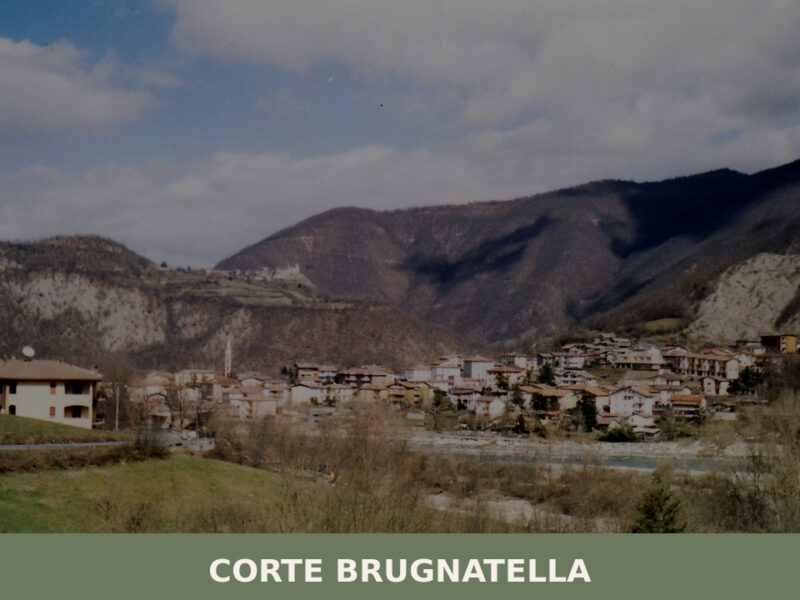
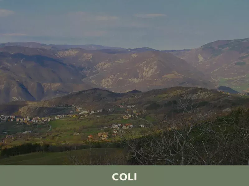
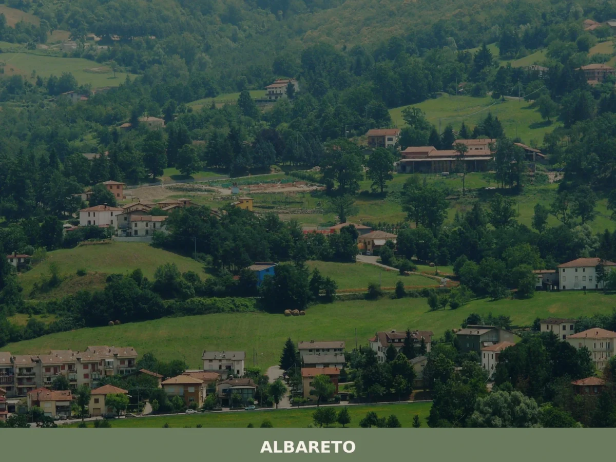
In Liguria More villages to discover
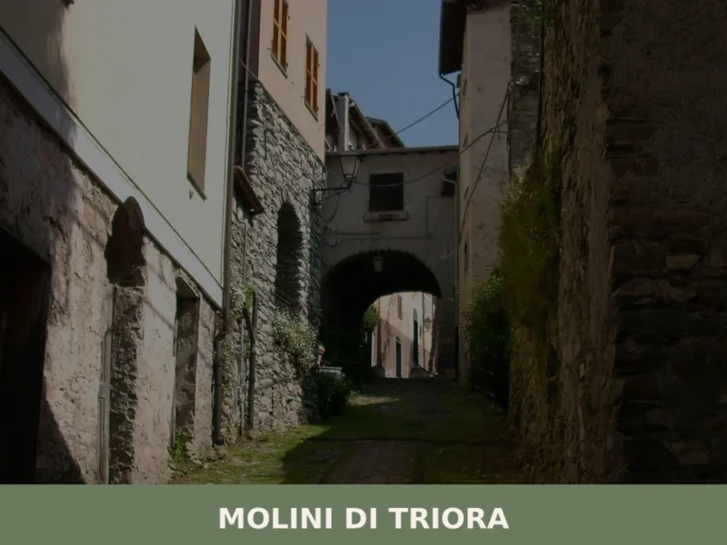
Molini di Triora
What to see in Molini di Triora, Italy: a village at 460 m in Liguria. Discover top attractions, local food, festivals and how to get there. Read the guide.
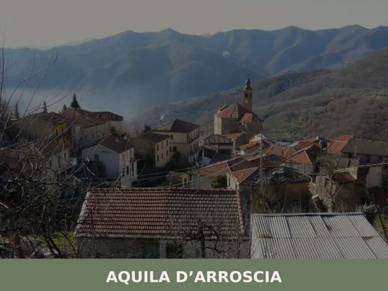
Aquila d’Arroscia
From the heights of the Arroscia Valley, the stone facades and light plasterwork of Aquila d’Arroscia stand out against the intense green of the Mediterranean maquis, dotted with olive groves that trace the slopes. The profile of the parish bell tower, with its slender spire, emerges among the slate roofs, marking the highest point of […]
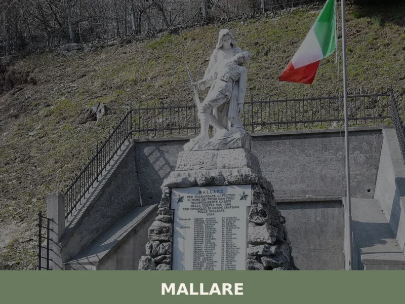
Mallare
What to see in Mallare, Liguria, Italy: explore 5 attractions, local food traditions, and festivals in this 1,193-inhabitant village near Savona. Discover it now.
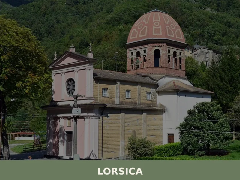
Lorsica
What to see in Lorsica: a Ligurian village at 343 m with 395 residents. Explore historic churches, Val Sturla trails and local food. Plan your visit today.
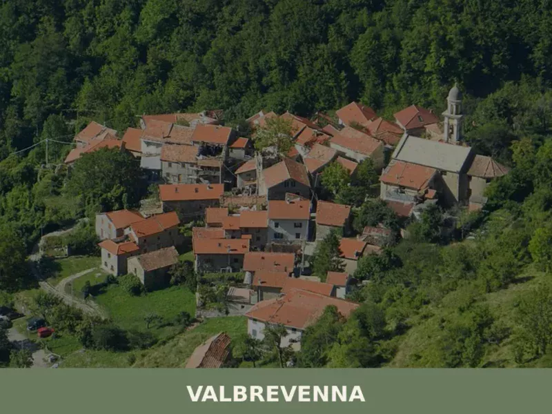
Valbrevenna
what to see in valbrevenna, Italy: Explore the Ligurian Apennines. With 817 inhabitants, discover hiking in Antola Park and traditional hamlets. Read our guide.
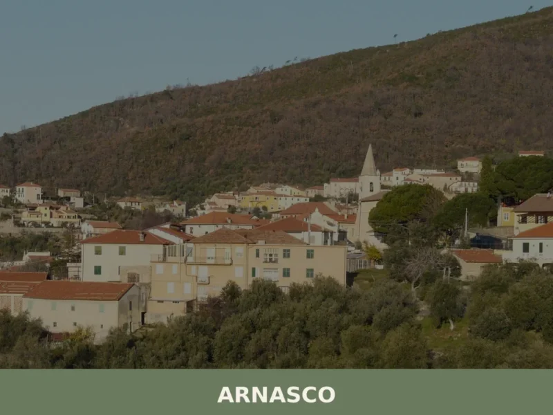
Arnasco
What to see in Arnasco, Liguria, Italy: discover this 552-inhabitant village 80 km from Genoa. Explore its historic centre, local festivals and Ligurian cuisine.
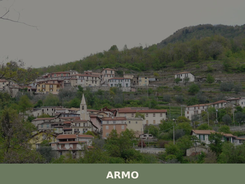
Armo
Armo, a village of 120 inhabitants above the Petrace valley in Calabria, rewards visitors with stone lanes, ancient olive terraces, and Aspromonte trails.
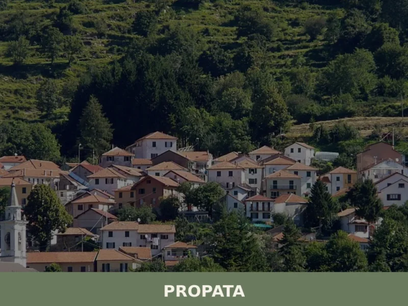
Propata
What to see in Propata, Italy: Discover the parish church and its Maragliano statue in this Ligurian village of 156 inhabitants. Explore its history.
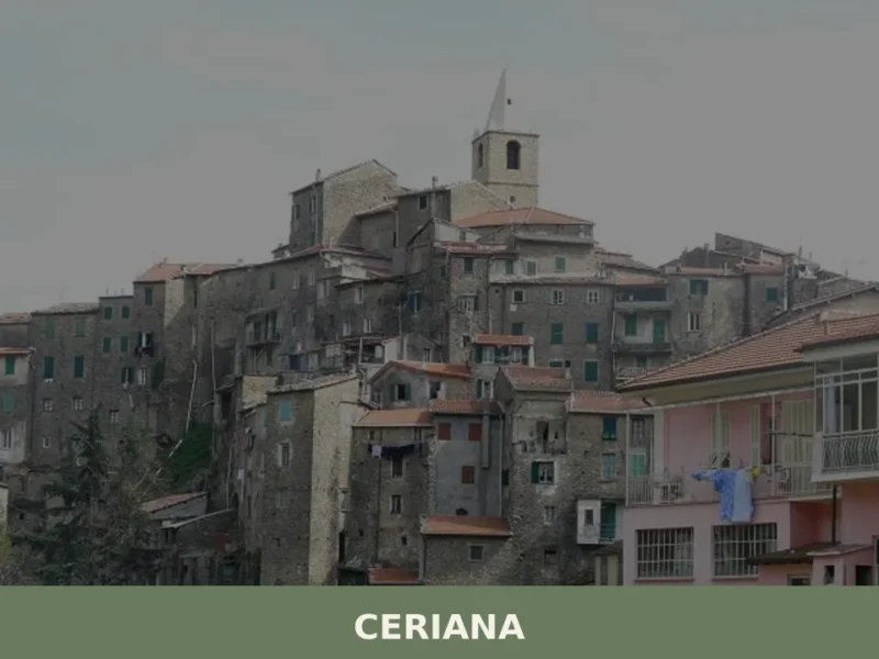
Ceriana: A Ligurian Hill Village Guide
What to see in Ceriana, Italy: Explore this Ligurian village at 369 m (1,211 ft) altitude. Discover historical sites and lively festivals. Read our guide.
Imperia
What to see in Imperia: dual city rising to 534 m in Liguria. Explore the Parasio, the free Olive Museum and sardenaira. Plan your visit now.


🏡 Know Rezzoaglio better than we do?
If you’re a local or have been there, your knowledge matters: add what’s missing or fix a detail on this page.