


Rocchetta di Vara
What to see in Rocchetta di Vara, Italy: 752 inhabitants, 70 km from Genoa. Discover top attractions, local food and how to get there. Complete guide.
Discover Rocchetta di Vara
The Vara valley cuts a green corridor through the inland hills of the Province of La Spezia, where the road north from the coast climbs through chestnut forest and terraced slopes before the rooftops of Rocchetta di Vara come into view.
The municipality sits at a point where seven different territories converge: Beverino, Borghetto di Vara, Brugnato, Calice al Cornoviglio, Mulazzo, Zeri and Zignago all share a boundary with it, making this one of the most connected comuni in the eastern Ligurian interior.
Deciding what to see in Rocchetta di Vara is easier when you understand its position: the village lies about 70 km (43 mi) southeast of Genoa and approximately 11 km (7 mi) north of La Spezia, placing it squarely in the hilly spine that divides coastal Liguria from the Lunigiana borderlands.
The population of 752 inhabitants sustains a compact historic centre, a network of mule tracks that predate the modern road, and a gastronomic tradition rooted in the products of the valley floor and the wooded ridges above. Visitors to Rocchetta di Vara find a place that rewards slow travel on foot rather than a quick drive-through.
History of Rocchetta di Vara
The name itself contains a geography lesson.
Rocchetta is the diminutive of rocca, meaning a small fortress or fortified rock, which points to a medieval defensive function at this bend in the Vara valley. The second element, di Vara, identifies the river that drains the whole sub-region and eventually joins the Magra near Sarzana before reaching the Ligurian Sea. This naming convention — common across the valley settlements — reflects the administrative logic of medieval Liguria, where control of river crossings and upland passes determined the hierarchy of settlements.
During the medieval period, the inland territories of what is now the Province of La Spezia formed a contested zone between the expansionist Republic of Genoa to the northwest and the various lordships of the Lunigiana to the east and south.
Small fortified points like Rocchetta served as relay stations in a landscape where political boundaries shifted with every generation.
The Malaspina family, who controlled much of the Lunigiana from the twelfth century onward, exerted influence over several of the communities bordering Rocchetta di Vara, and the physical traces of that period — fortified towers, consolidated stone architecture — remain legible in the village fabric. The nearby municipality of Maissana, which shares the same general upland geography, passed through comparable phases of Genoese consolidation during the same centuries.
With the definitive incorporation of the Vara valley into Genoese territory and later into the Ligurian Republic under Napoleonic reorganisation, Rocchetta di Vara was assigned to administrative units that eventually became the Province of La Spezia, formalised under the unified Italian state in the nineteenth century. The twentieth century brought depopulation, a pattern consistent with inland Ligurian comuni generally, as younger residents moved toward La Spezia, Genoa, and the coastal towns.
The current population of 752 reflects that long contraction from a higher medieval and early modern base, though the municipality retains its administrative independence and its network of hamlets across the surrounding hills.
What to See in Rocchetta di Vara, Liguria: Top Attractions
The Historic Village Centre and Medieval Street Plan
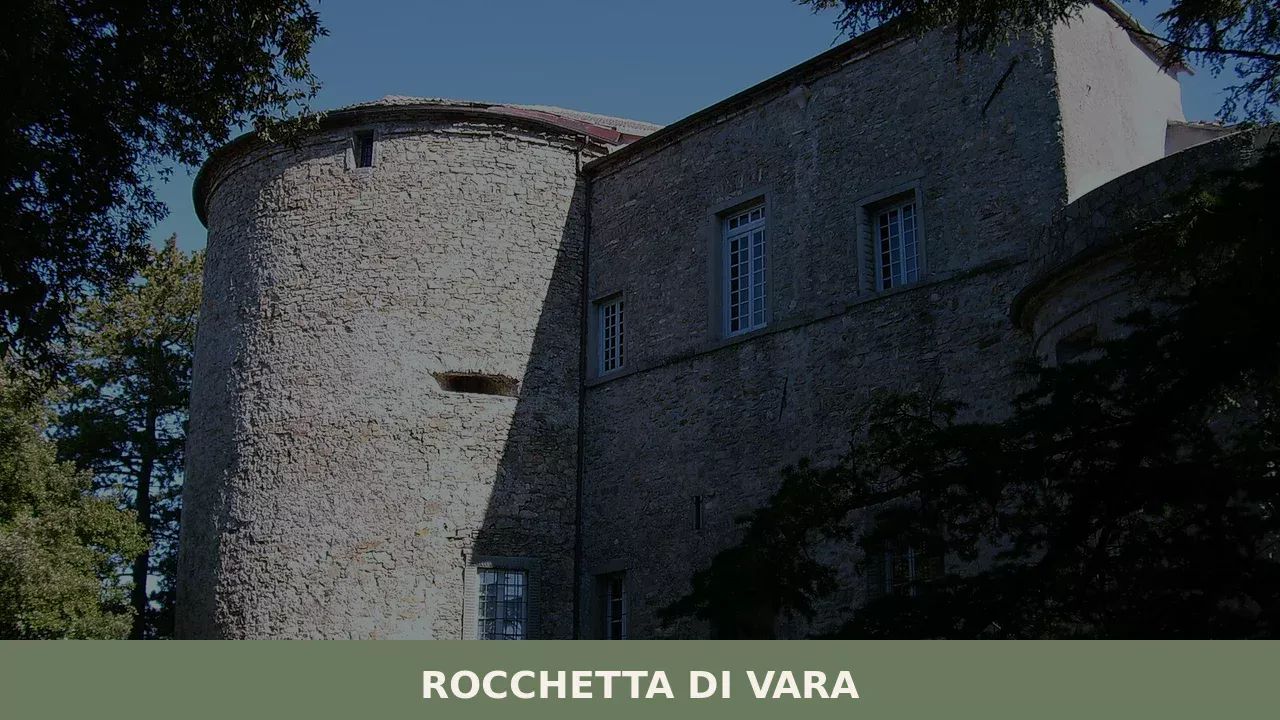
The oldest part of Rocchetta di Vara preserves a street plan organised around a central spine, with stone buildings aligned to channel foot traffic toward the high point of the settlement.
The masonry is predominantly local limestone and schist, materials that weather to a grey-green tone distinct from the warm sandstone of coastal Liguria. Walking the main lane, you pass under covered passages — sottoportici, archways that connect adjacent building blocks — a form of urban design common to medieval Ligurian inland villages. The best light for reading the architecture falls in the late morning, when the sun reaches the north-facing walls of the upper lane.
The Parish Church of Rocchetta di Vara
The parish church anchors the religious and civic life of the village, as it has done since the medieval period when the diocese of Luni exercised jurisdiction over the Vara valley communities. The structure has been modified across successive centuries, a process visible in the different stone courses of the facade and the contrast between the Romanesque base and later interventions to the bell tower. Inside, the nave proportions reflect the constraints of the sloping site, and the floor drops slightly from the entrance toward the altar.
Visiting in the morning gives you the building largely to yourself; the interior is typically accessible before midday.
The Surrounding Chestnut and Mixed Forest
Above the village, the hillsides carry a dense cover of chestnut trees — castagneti — that historically provided the dietary staple of inland Ligurian communities for whom wheat was scarce and expensive.
The forest reaches elevations above 600 m (1,969 ft) in the hills bordering Zignago and Calice al Cornoviglio. Mule tracks, some dating to the period before any wheeled road crossed this section of the valley, connect Rocchetta di Vara to its outlying hamlets through these woods. Autumn, from late September through November, is the most practical season to walk these routes, when the chestnut harvest is underway and the canopy colour shifts from green to ochre and bronze.
The Vara Valley Viewpoints
Several points on the perimeter of the village open toward the Vara valley floor, which lies roughly 11 km (7 mi) north of La Spezia at this section of the river’s course. The valley at this latitude is approximately 1 to 1.5 km (0.6 to 0.9 mi) wide between the opposing hillsides, with the river running along the eastern edge of the flat ground. From the upper part of the village, the geometry of the valley — flat agricultural land below, forested slopes rising sharply on both banks — is clear in a single view.
Early morning in spring and late summer offers the clearest atmospheric conditions for these sightlines, before heat haze builds over the valley floor.
The Network of Boundary Villages and Cross-Border Paths
Because Rocchetta di Vara shares borders with seven municipalities, the walking routes that leave the village centre pass quickly into adjacent territorial units, creating a network of day-route options without requiring a car.
The path toward Brugnato to the southwest descends through mixed woodland and crosses the Vara river plain, covering approximately 5 to 6 km (3.1 to 3.7 mi) one way. The route toward Zignago climbs northeast through the chestnut belt, gaining around 200 m (656 ft) of elevation over 4 km (2.5 mi). Both routes follow historic track beds rather than asphalt, which means appropriate footwear is necessary; trail shoes or light hiking boots are practical year-round.
The village of Fascia, further into the Ligurian Apennines, shares this character of inter-village path networks that reward walkers willing to navigate by printed map or downloaded GPS track.
Local Food and Typical Products of Rocchetta di Vara
The food culture of the Vara valley interior belongs to a distinct culinary geography that differs substantially from coastal Ligurian cooking. Here, the sea is close in distance — La Spezia sits 11 km (7 mi) to the south — but the kitchen logic follows inland patterns: chestnuts, dried legumes, foraged greens, cured pork, and sheep’s milk cheese define the seasonal pantry far more than fish. The terrain dictated the diet for most of the valley’s history, and the dishes that survive in domestic cooking today reflect that logic directly.
The testaroli — a flat, griddled pasta made from a simple batter of flour, water and salt, cooked on a heavy cast-iron disc called a testo — is the most distinctive preparation of the Vara and Magra valleys.
The cooked round is cut into rhomboid pieces and briefly immersed in boiling water before serving, typically dressed with pesto or, in the colder months, with a walnut sauce made from skinned walnuts ground with a small amount of garlic, bread crumb and oil.
Panigacci, a related preparation made from a thinner batter and cooked in terracotta dishes, appear at communal meals and food fairs across the province. Both preparations require no leavening and no extended preparation time, reflecting the practical cooking logic of a mountain household. Sgabei, strips of leavened dough fried in oil and eaten hot with soft cheese or cured meats, are a common antipasto across La Spezia province and appear regularly at local gatherings in Rocchetta di Vara and the surrounding comuni.
Cured meats from the upland pig-farming tradition of the Vara valley include lard seasoned with rosemary and black pepper, coarse-ground salame dried over several weeks in cool cellar conditions, and pancetta rolled with garlic and wild herbs. Sheep’s milk cheese — semi-aged rounds with a natural rind that develops a pale yellow crust after 60 days of maturation — circulates through local markets in La Spezia and through the small producers who supply the valley’s agriturismi.
No PDO or PGI certification specifically covers Rocchetta di Vara as a defined production zone in the available data, but the products described are consistent with those documented across the wider Vara valley food economy by the Touring Club Italiano and regional tourism sources.
The chestnut harvest in October and November drives the most concentrated period of local food activity.
Dried chestnuts are ground into farina di castagne — chestnut flour — used for castagnaccio, a dense flatcake baked with rosemary, pine nuts and soaked raisins, and for necci, thin chestnut crêpes cooked on the same iron discs used for testaroli.
Local markets in La Spezia in November typically carry valley-sourced chestnuts and chestnut flour from producers in the Rocchetta di Vara area; the Saturday market in La Spezia is the most reliable point of purchase for visitors who want to carry products home.
Festivals, Events and Traditions of Rocchetta di Vara
The religious calendar of Rocchetta di Vara follows the pattern of Ligurian inland parishes, with the feast of the patron saint providing the main collective event of the summer. The precise date of the patron’s feast is not documented in the available sources with enough specificity to state it here without risk of error.
What the sources confirm is that the village participates in the broader festival calendar of the Vara valley, which includes outdoor masses, processions through the village lanes, and communal meals organised by local associations. The autumn chestnut season generates informal gatherings rather than a formalised sagra — a traditional local food festival — at the municipal level, though neighbouring comuni in the valley hold documented chestnut festivals in October and November that draw visitors from La Spezia and further afield.
The oral and material culture of Rocchetta di Vara intersects with the wider Ligurian inland tradition of communal labour organised around seasonal tasks: the harvest, the chestnut gathering, the autumn pig slaughter.
These activities, while no longer universal, remain practiced by a portion of the resident population and by families who return to the village during school holidays. The village’s position at the border of seven municipalities means that festivals in Brugnato, Borghetto di Vara, Zignago and Calice al Cornoviglio are all within practical reach for visitors based in Rocchetta di Vara, effectively extending the events calendar available during any given stay.
When to Visit Rocchetta di Vara, Italy and How to Get There
The most practical period to visit Rocchetta di Vara runs from late April through June and again from mid-September through November.
Spring brings clear visibility across the valley, accessible paths after the winter mud has dried, and moderate temperatures well below the coastal heat that builds along the Ligurian Riviera in July and August.
Autumn is the season most closely tied to local food production: the chestnut harvest and the associated domestic food processing make October the most culturally specific time to be in the Vara valley. Summer is the busiest season along the coast, which means the inland villages receive more visitors than usual in July and August, but numbers remain modest compared to Cinque Terre and the Gulf of La Spezia. For those who want to walk the inter-village paths, June and October offer the best combination of daylight, temperature and trail conditions.
Getting to Rocchetta di Vara from La Spezia takes approximately 20 to 25 minutes by car, covering roughly 11 km (7 mi) on the SS566, the main road serving the Vara valley. From Genoa, the A12 motorway provides the fastest approach: exit at Brugnato or La Spezia Nord and follow the valley road north. The total distance from Genoa is approximately 70 km (43 mi), making a day trip from the city entirely feasible with an early departure.
Visitors arriving by rail can use Trenitalia services to La Spezia Centrale, which is the nearest major rail hub, and then continue by local bus or hired car for the remaining 11 km (7 mi) north.
The nearest international airport is Genoa Cristoforo Colombo Airport, approximately 80 km (50 mi) northwest, with a transfer time of around 1 hour by car under normal traffic conditions. Florence is approximately 130 km (81 mi) to the southeast via the A15 motorway, making Rocchetta di Vara reachable as a day excursion from either city. For international visitors, it is worth carrying some euro cash, as smaller shops and local producers in the valley do not always accept card payment, and English is not widely spoken in the inland comuni.
Visitors arriving without a car have the option of the local bus service operated by regional transport between La Spezia and the Vara valley comuni, though frequency is limited to a few runs per day and schedules should be verified in advance through the regional transport portal.
The village terrain involves some uphill walking within the historic centre, with stone-paved lanes that are uneven in places; this is worth noting for visitors with mobility limitations, though the main access roads are flat.
The municipality of Davagna, further north in the Ligurian Apennines toward Genoa, is another inland comune accessible by road from the A7 motorway for those combining multiple valley stops in a single itinerary.
Those who have time to extend their stay in the area can reach Gorreto, a small municipality in the Trebbia valley that shares the same character of compact Ligurian inland settlement with low visitor numbers and intact historic fabric, via the Apennine road network further north. The drive from Rocchetta di Vara adds roughly an hour each way but covers terrain that is worth the detour for those interested in the geography of the Ligurian-Emilian watershed.
Frequently asked questions about Rocchetta di Vara
What is the best time to visit Rocchetta di Vara?
The best time to visit Rocchetta di Vara offers varied experiences. Autumn, from late September through November, is ideal for exploring the surrounding chestnut forests, enjoying the vibrant canopy colours, and observing the chestnut harvest along historic mule tracks. For clear, panoramic views of the Vara valley, early mornings in spring and late summer provide the clearest atmospheric conditions. Additionally, plan your visit for the last Sunday of September to experience the traditional Festa Patronale of Santa Giustina di Antiochia, offering a unique glimpse into local traditions and community life.
What are the historical origins of Rocchetta di Vara?
Rocchetta di Vara's name itself is a clue to its past: 'Rocchetta' implies a small fortress, highlighting its medieval defensive purpose, while 'di Vara' situates it within the river valley. Historically, the village served as a strategic fortified point in a contested territory between the expanding Republic of Genoa and the powerful Lunigiana lordships, including the Malaspina family. Traces of this era, such as fortified towers and robust stone architecture, are still visible. The area eventually became part of Genoese dominion, then the Ligurian Republic, and finally the Province of La Spezia within unified Italy.
What to see in Rocchetta di Vara? Main monuments and landmarks
In Rocchetta di Vara, visitors can explore the remarkably preserved Historic Village Centre, which features a medieval street plan, traditional stone buildings of local limestone and schist, and characteristic covered passages known as sottoportici. The Parish Church of Rocchetta di Vara, with its medieval foundations and centuries of architectural modifications, stands as a central landmark; its interior is typically accessible before midday. For scenic views, several points on the village perimeter offer clear vistas of the Vara valley floor, best appreciated during early mornings in spring and late summer.
What are the main natural or scenic attractions of Rocchetta di Vara?
Rocchetta di Vara is surrounded by significant natural attractions. The dense Chestnut and Mixed Forest covering the hillsides above 600 meters is a primary draw, crisscrossed by ancient mule tracks perfect for hiking, especially in autumn when the foliage turns vibrant. Several Vara Valley Viewpoints offer expansive panoramas of the valley floor, providing clear sightlines in early morning during spring and late summer. Furthermore, a network of historic cross-border paths connects Rocchetta di Vara to neighbouring municipalities like Brugnato and Zignago, ideal for extended walks through varied Ligurian landscapes.
Where to take the best photos in Rocchetta di Vara?
For stunning photographs in Rocchetta di Vara, focus on the Historic Village Centre in the late morning, when the sun beautifully illuminates the medieval stone architecture and charming sottoportici (covered passages). The upper part of the village provides excellent Vara Valley Viewpoints, offering clear panoramic shots of the valley floor; these vistas are particularly crisp during early mornings in spring and late summer. Additionally, the surrounding Chestnut and Mixed Forest, especially from late September through November, offers picturesque opportunities to capture the vibrant ochre and bronze canopy colours along the ancient mule tracks.
Are there museums, churches or historic buildings to visit in Rocchetta di Vara?
Yes, Rocchetta di Vara offers notable historic sites. The Parish Church of Rocchetta di Vara, with its medieval origins, Romanesque base, and successive architectural modifications, is a significant landmark and is typically accessible to visitors before midday. The entire Historic Village Centre itself functions as a living historic site, showcasing a compact and well-preserved medieval street plan, distinctive stone buildings crafted from local limestone and schist, and unique covered passages (sottoportici). While there are no dedicated museums, the village's fabric provides a rich historical experience.
What can you do in Rocchetta di Vara? Activities and experiences
In Rocchetta di Vara, you can immerse yourself in slow travel, exploring the compact historic centre on foot and admiring its medieval architecture. Hiking is a primary activity, with numerous ancient mule tracks leading through the scenic chestnut forests, particularly rewarding in autumn. You can also embark on cross-border paths to neighbouring villages like Brugnato and Zignago. Don't miss the opportunity to savour the distinct inland gastronomic tradition, tasting local specialties such as testaroli with pesto or walnut sauce, panigacci, sgabei, cured meats, and semi-aged sheep's milk cheese. The Festa Patronale in late September offers a cultural experience.
Who is Rocchetta di Vara suitable for? Families, couples, hikers, solo travelers?
Rocchetta di Vara is ideally suited for travellers seeking an authentic, slow-paced Italian experience, particularly hikers and nature enthusiasts. Its extensive network of ancient mule tracks and cross-border paths makes it perfect for walkers of all levels, including solo travellers and active couples. Food lovers will appreciate the unique inland gastronomic traditions, featuring local specialties distinct from coastal cuisine. While not a bustling family resort, families who enjoy outdoor activities and cultural immersion will find it rewarding. It’s a destination for those who appreciate quiet villages, historical charm, and natural beauty over fast-paced tourism.
What to eat in Rocchetta di Vara? Local products and specialties
The culinary landscape of Rocchetta di Vara offers distinctive inland Ligurian specialties. A must-try is the testaroli, a unique flat, griddled pasta typically served with traditional pesto or a rich walnut sauce. You'll also find panigacci, a similar preparation cooked in terracotta, and sgabei, delicious fried dough strips often enjoyed with local soft cheese or cured meats. The area is also known for its cured meats, including seasoned lard, coarse-ground salame, and pancetta with garlic and wild herbs, alongside semi-aged sheep's milk cheese, reflecting the valley's strong agricultural traditions and mountain diet.
📷 Photo Gallery — Rocchetta di Vara
Getting there
Piazza Guglielmo Marconi, 19020 Rocchetta di Vara (SP)
Nearby Villages near Rocchetta di Vara
In Liguria More villages to discover
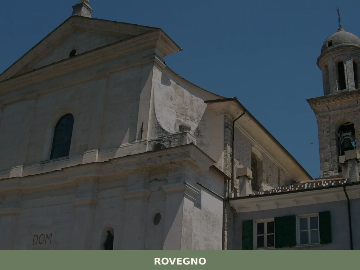
Rovegno
What to see in Rovegno, Italy: Explore the Val Trebbia, 35 km (22 mi) from Genoa. Discover its valley landscape and the surrounding municipalities. Read our guide.
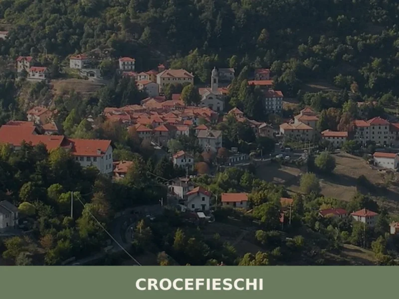
Crocefieschi
At 742 meters above sea level, in the heart of the Ligurian Apennines, lies Crocefieschi, a municipality in the province of Genoa with 518 inhabitants. Its geographical position makes it a reference point for those seeking significant altitudes in the Genoese hinterland, away from coastal dynamics. The village’s name, according to tradition, is said to […]
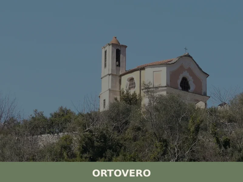
Ortovero
what to see in ortovero: Explore Italy's Ligurian coast. Located 40 km (25 mi) from Savona, discover historic Ligurian architecture and regional culinary traditions. Read on for travel tips.
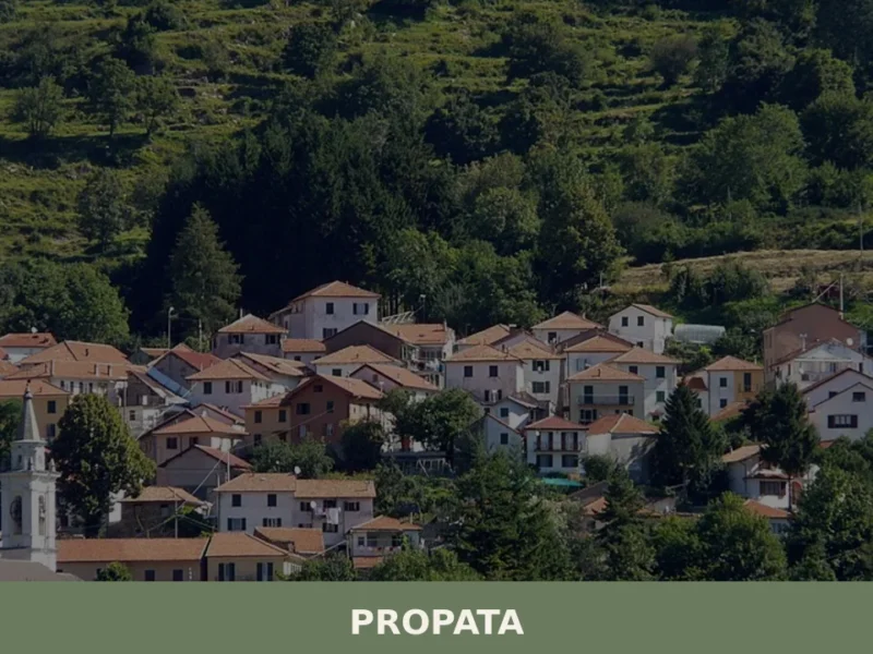
Propata
What to see in Propata, Italy: Discover the parish church and its Maragliano statue in this Ligurian village of 156 inhabitants. Explore its history.
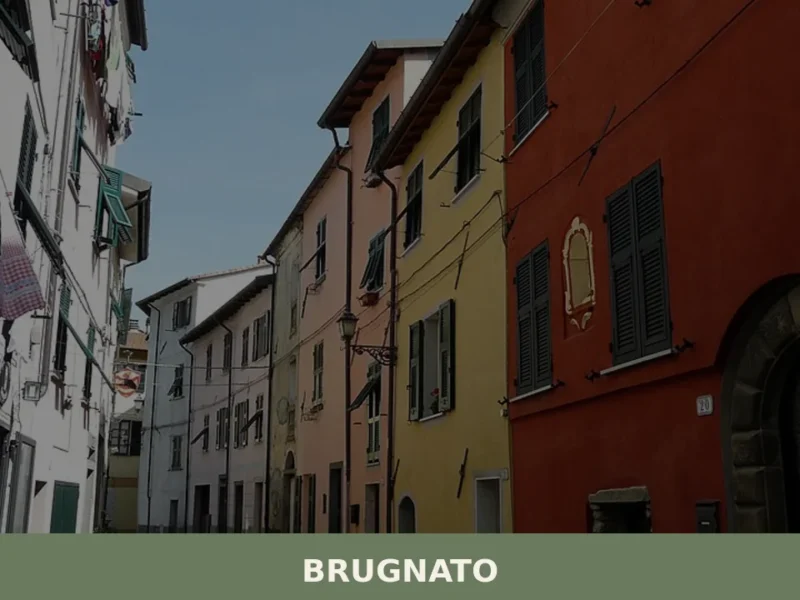
Brugnato
What to see in Brugnato, a Ligurian village 115m above sea level? Explore the Co-Cathedral of San Pietro Apostolo and taste typical Val di Vara products. Discover its rich history!
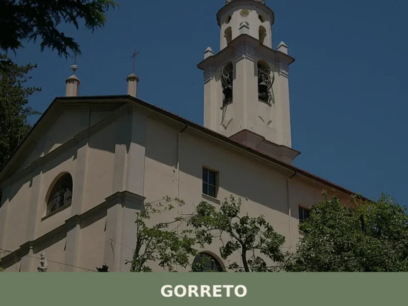
Gorreto
Gorreto: Complete Editorial Guide The stone bridge over the Trebbia, with its centuries-old arches, marks the entrance to Gorreto, a village that reveals itself with the discretion of a place that has watched the passage of people and goods for centuries. At 533 metres above sea level, in the province of Genova, this settlement of […]
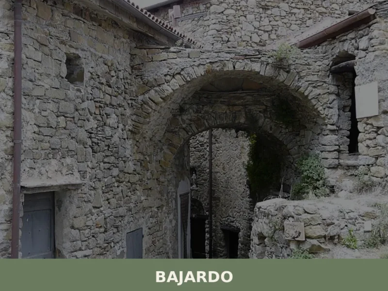
Bajardo
What to see in Bajardo? Discover top 5 attractions at 910m, with historic ruins, stunning views, and trails. Plan your visit!
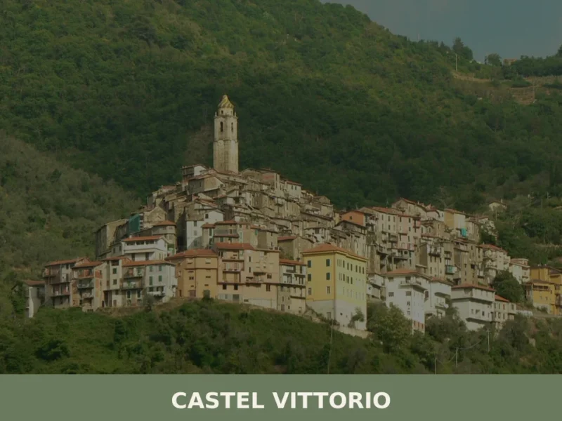
Castel Vittorio: Liguria’s Enduring Stone Village
What to see in Castel Vittorio, Liguria, Italy: at 420 m altitude, 261 inhabitants, parish art by Venusti & Maragliano. Discover top attractions & travel tips.
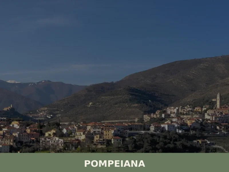
Pompeiana
what to see in pompeiana, Italy. Discover this Imperia village of 837 residents, explore its historic center and surrounding olive terraces. Read our guide to Liguria.
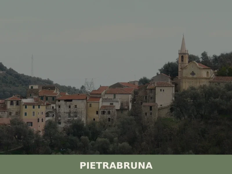
Pietrabruna
What to see in Pietrabruna, Italy: 546 inhabitants, 100 km from Genoa. Discover medieval architecture, Ligurian olive oil and local festivals. Full travel guide.


🏡 Know Rocchetta di Vara better than we do?
If you’re a local or have been there, your knowledge matters: add what’s missing or fix a detail on this page.