


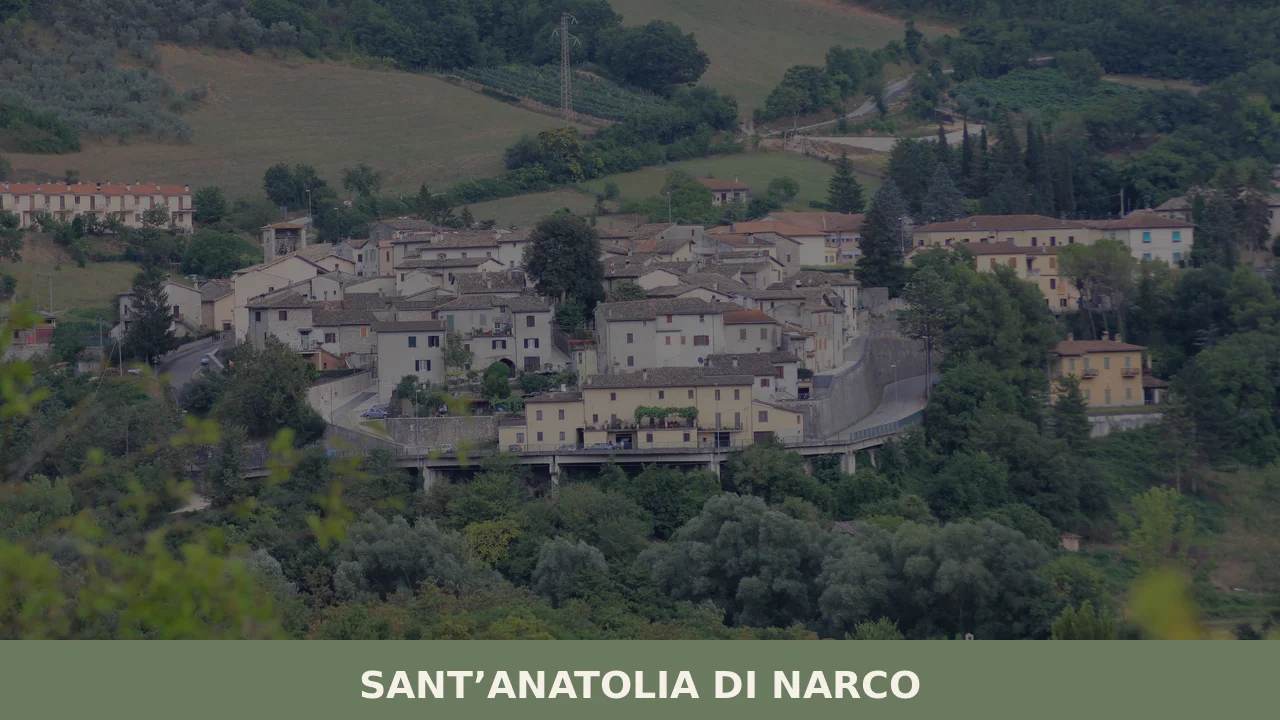
Sant’Anatolia di Narco
In 1213, a document from the Abbey of San Felice recorded for the first time the castrum of Sant’Anatolia, a fortified settlement on the left bank of the River Nera in the southern Valnerina. Today the municipality has 555 inhabitants spread between the main village and a handful of hamlets scattered across the wooded slopes […]
Discover Sant’Anatolia di Narco
In 1213, a document from the Abbey of San Felice recorded for the first time the castrum of Sant’Anatolia, a fortified settlement on the left bank of the River Nera in the southern Valnerina. Today the municipality has 555 inhabitants spread between the main village and a handful of hamlets scattered across the wooded slopes of the valley. Asking what to see in Sant’Anatolia di Narco means crossing a territory where layers — Roman, Lombard, Benedictine — can be read in the dry-stone walls, in the frescoed apses, and in the paths linking hermitages and mills along the watercourse.
History and origins of Sant’Anatolia di Narco
The village takes its name from the cult of Saint Anatolia, a third-century Christian martyr whose hagiographic account places her among the victims of the persecutions under Decius. Local tradition holds that she was buried near the present parish church, where a Roman sarcophagus reused during the early Middle Ages was long identified as her tomb. The suffix “di Narco” refers to the nearby locality of Narco, a hamlet at higher elevation, and serves to distinguish the village from other places dedicated to the same saint.
During the Middle Ages, the territory fell within the sphere of influence of the Duchy of Spoleto. The castrum, documented from the thirteenth century, was contested between local noble families and the commune of Spoleto, which gained effective control of it in the fourteenth century. Its position along the Valnerina — a natural corridor between Norcia and Spoleto — gave the village a strategic role as a road garrison. After annexation to the Papal States, Sant’Anatolia maintained an agro-pastoral economy based on spelt cultivation, charcoal production and hemp processing, activities that shaped the terraced landscape still visible on the surrounding hillsides.
In 1979 the Valnerina earthquake caused significant damage to the built heritage. The 2016 earthquake struck the area again, making consolidation work necessary on several historic buildings, some of which are still undergoing restoration. The Wikipedia entry for the municipality documents the sequence of seismic events and the phases of reconstruction in detail.
What to see in Sant’Anatolia di Narco: 5 main attractions
1. Abbey of San Felice di Narco
Founded in the fifth century according to tradition and rebuilt in the twelfth century in Romanesque forms, the abbey stands in the hamlet of Castel San Felice along the River Nera. The façade features a rose window with a double ring of small columns and a portal with a carved lunette depicting episodes from the life of Saint Felix the bishop. The single-nave interior preserves a crypt with spolia columns from the Roman period.
2. Church of Sant’Anatolia
The parish church of the main village, with a thirteenth-century layout and later alterations, houses the sarcophagus traditionally attributed to the saint. Inside are fragments of votive frescoes datable to between the fourteenth and fifteenth centuries, with figures of saints and Passion scenes executed by Umbrian workshops from the Spoleto area.
3. Hemp Museum
Set up in the historic centre, the museum reconstructs the stages of hemp processing — from retting in the Nera to spinning — using original tools collected in the hamlets of the municipality. The cultivation of Cannabis sativa for textile use was a significant source of income for the Valnerina until the 1950s.
4. Path along the Nera and the small waterfalls
A walking route of approximately three kilometres connects the main village to the Abbey of San Felice following the bank of the Nera. The trail passes by small waterfalls formed by travertine deposits, calcareous sediments that the river continues to accumulate. The riparian vegetation includes willows, alders and, in the wetter areas, royal ferns.
5. Fortified village of Castel San Felice
The hamlet preserves the structure of the medieval castrum with an ogival-arched entrance gate, stretches of perimeter walls and a watchtower reduced to a ruin. The houses, built from local limestone with monolithic lintels, retain the planimetric layout documented from at least the fourteenth century.
Traditional cuisine and local products
The cooking of Sant’Anatolia di Narco follows the Valnerina repertoire: spelt and pulse soup, strangozzi dressed with black truffle (Tuber melanosporum gathered in the woods between Norcia and Spoleto), and Nera trout prepared in porchetta style — stuffed with wild fennel, garlic and lard — according to a recipe codified in the valley’s trattorias at least since the post-war period. Norcia black truffle, regulated by a regional production standard, is the flagship product of the local food economy; the harvest takes place between December and March.
Among the local products are Valnerina spelt, dried pulses — lentils and grass peas — and PDO extra-virgin olive oil from Umbria, sub-zone Colli Martani and Monti di Spoleto. The few trattorias in the municipality work predominantly with ingredients from neighbouring producers, and the restaurant offering is concentrated in the spring and summer months, when the Valnerina draws hikers and cycle tourists.
When to visit Sant’Anatolia di Narco: the best time
Spring, from April to June, offers the most favourable conditions: the Nera has sufficient flow to feed the travertine waterfalls, the trails are easily passable, and the flowering of the meadows along the valley is at its peak. Autumn — October and November — coincides with the black truffle season and with lower visitor numbers compared to nearby Norcia, which makes it possible to visit the Abbey of San Felice and the Hemp Museum without crowds.
Summer can be hot on the valley floor, with temperatures exceeding 30 degrees in July and August, but evenings are cool owing to the altitude (approximately 328 metres above sea level). Winter is harsh and some of the higher hamlets may be difficult to reach in the event of snowfall. Among the recurring events, the feast of Sant’Anatolia is celebrated on 10 July, with a procession that winds through the historic centre to the parish church.
How to reach Sant’Anatolia di Narco
The village lies along the state road 209 Valnerina, approximately 20 kilometres from Spoleto and 30 from Norcia. The nearest motorway exit is Spoleto Nord, on the E45 (Perugia–Terni link road), from where you continue towards Norcia on the SS 395 and then the SS 209.
- From Rome: approximately 140 km, reachable in just under two hours via the A1 to Orte, then the E45 towards Terni–Spoleto.
- From Perugia: approximately 70 km, one hour and fifteen minutes along the E45 to Spoleto, then the SS 209.
- By train: the nearest railway station is Spoleto, on the Rome–Ancona line. From Spoleto you need a car or a scheduled bus service (Busitalia) to cover the remaining 20 km.
- Airport: the closest is Umbria San Francesco d’Assisi Airport (Perugia), approximately 80 km away. Alternatively, Rome Fiumicino and Rome Ciampino airports are about 170 km away.
What to see in Sant’Anatolia di Narco and in nearby Umbrian villages
The Valnerina is a corridor that lines up, within a few dozen kilometres, villages with different vocations and histories. Heading north-east beyond Norcia, you reach Preci, a centre known for the surgical school of the Preciani, active from the thirteenth to the eighteenth century: a documented case of rural medical specialisation with few equivalents in Europe. The village, also hit by the 2016 earthquake, preserves the Abbey of Sant’Eutizio, where those surgeons were trained.
On the opposite side of Umbria, at the border with Tuscany, Paciano offers a sharp contrast: a walled village overlooking Lake Trasimeno, with a compact fourteenth-century urban layout and an agricultural tradition linked to olive growing. Visiting both — Preci and Paciano — after Sant’Anatolia di Narco allows you to gauge in concrete terms the geographical and cultural variety of Umbria, a region of just 8,456 square kilometres yet fragmented into distinct micro-territories.
Nearby Villages near Sant’Anatolia di Narco
In Umbria More villages to discover

Orvieto
Orvieto stands on a dramatic tufa mesa above the Paglia Valley, home to a great Gothic cathedral and over 3,000 years of layered history. A essential destination in southern Umbria.
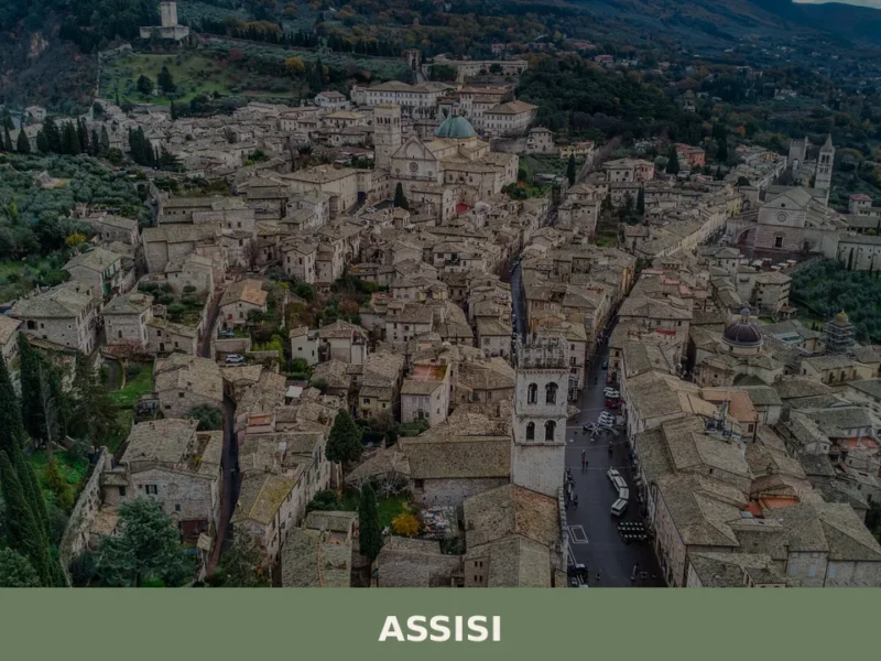
Assisi
What to see in Assisi, Umbria, Italy: explore the UNESCO Basilica of San Francesco, Rocca Maggiore, and 27,721-inhabitant hilltop town. Discover festivals and travel tips.
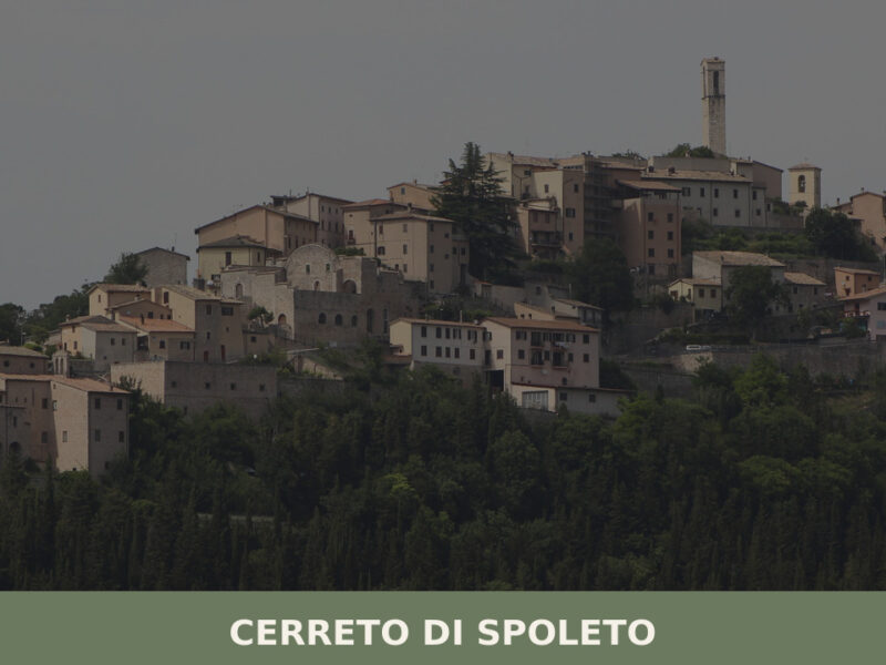
Cerreto di Spoleto
A ridge-top village of 975 inhabitants in the Valnerina, Cerreto di Spoleto holds medieval streets, scattered hamlets, and a centuries-old tradition of itinerant herbalists.
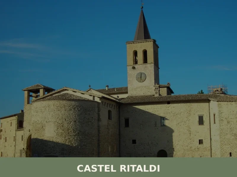
Castel Ritaldi
What to see in Castel Ritaldi, Italy: 5 top attractions, local food, and travel tips for this Umbrian village at 297 m. Discover frescoes, medieval churches & more.
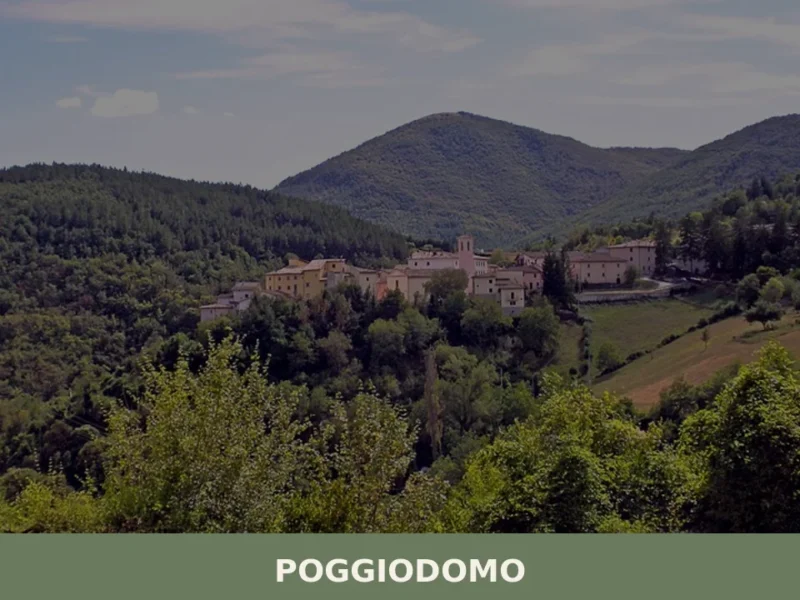
Poggiodomo
What to see in Poggiodomo, Italy? Explore this Umbrian village, situated at 974 m, and discover the historic Church of San Carlo Borromeo and the Hermitage of Madonna della Stella.
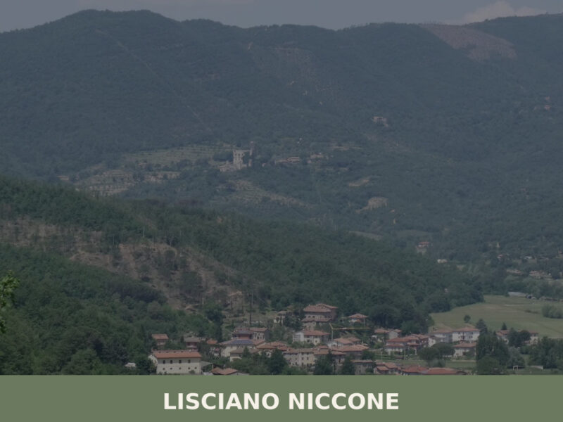
Lisciano Niccone
A 601-inhabitant village on the Umbria-Tuscany border. Discover what to see in Lisciano Niccone: its medieval core, valley trails, and traditional food.
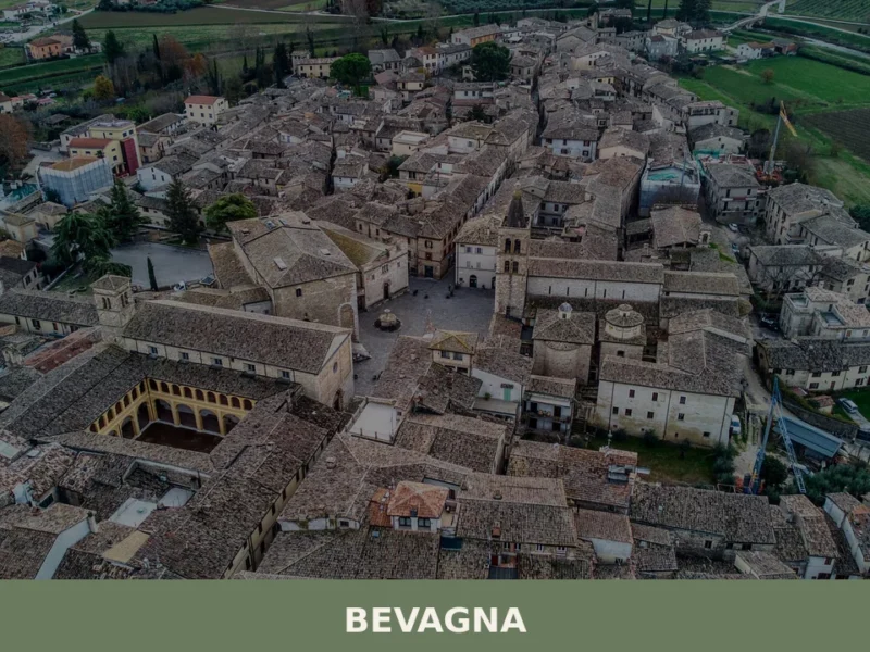
Bevagna
What to see in Bevagna, Umbria, Italy: explore 5 key attractions, Romanesque churches, Roman ruins, and local food. Population 5,130. Discover the full guide.
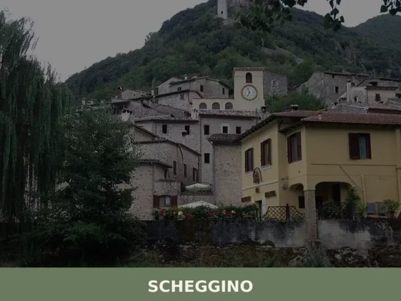
Scheggino
Situated at an altitude of 282 meters above sea level, Scheggino is a compact village in the Umbrian Apennines, home to 446 inhabitants in the province of Perugia. Its development has been shaped by its proximity to the Nera River, a constant presence that influenced both its economy and defensive structures over centuries. Understanding what […]
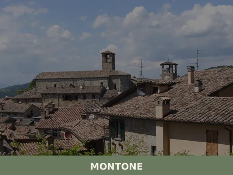
Montone
What to see in Montone, Italy: Explore this Umbrian village, 482 m high, with its medieval walls and historic Rocca d'Aries. Discover churches and heritage.
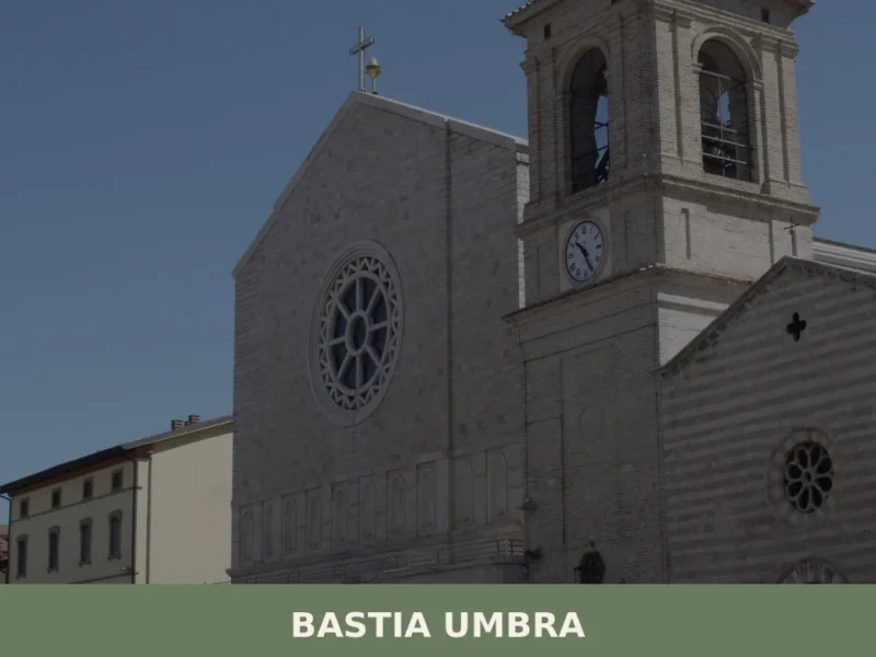
Bastia Umbra
What to see in Bastia Umbra, Italy: 5 top attractions, local food, and how to get there. Explore a plains town 13 km from Perugia with 21,965 inhabitants.


🏡 Know Sant’Anatolia di Narco better than we do?
If you’re a local or have been there, your knowledge matters: add what’s missing or fix a detail on this page.