


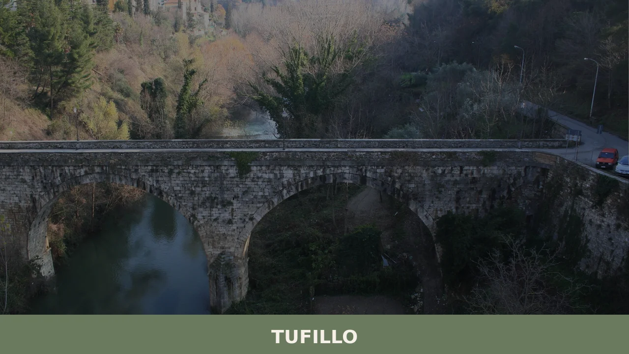
Tufillo
What to see in Tufillo, Abruzzo, Italy: a village of 456 inhabitants in the Province of Chieti. Discover top attractions, local food, and how to get there.
Discover Tufillo
The stone fabric of the village closes tight at its edges, where the land drops toward the valley below and the horizon opens without warning into a wide stretch of the Abruzzo interior. Buildings in the historic centre press against one another as if holding their ground against the slope, their walls cut from local material that registers every shift of light across the day.
The Province of Chieti spreads east and south, and this compact settlement of a few hundred people sits within it at a remove from the main traffic corridors of the region.
Knowing what to see in Tufillo means understanding a place that concentrates its interest within a small perimeter.
The village counts 456 inhabitants and sits in the Abruzzo region of central Italy. Visitors to Tufillo find a historic centre with documented religious architecture, a legible medieval layout, and a surrounding landscape that rewards those willing to explore on foot. The Tufillo highlights include the parish church, the remnants of the older settlement fabric, and the viewpoints that open across the Chieti hinterland toward the Adriatic coast.
History of Tufillo
The name Tufillo carries a direct reference to the geological material that defines much of this part of the Abruzzo interior.
In the local Abruzzese dialect the settlement is called Tufìlle or Tufùlle, both variants pointing to the same root: tufa, the porous volcanic and sedimentary rock that appears across the landscape of central Italy and that was used as a primary building material throughout the medieval period. The denomination connects the place to its physical substrate in a way that was common practice when early settlements were named by the communities that formed them, often as a straightforward description of what they found underfoot or in the surrounding terrain.
The settlement developed within the broader pattern of small hill communities that consolidated across the Province of Chieti during the medieval centuries.
This was a period when populations clustered on elevated ground for defensive and agricultural reasons, organising themselves around a parish church and a central gathering point that gave the village its spatial structure. Communities in this part of Abruzzo operated within the feudal systems of the Kingdom of Naples, which administered much of southern and central Italy through successive dynasties.
Tufillo would have been subject to those same administrative layers, its residents working the surrounding land under conditions that changed relatively slowly across several centuries. The village of Palombaro, situated in the same provincial territory, followed a comparable trajectory of medieval consolidation and shares the pattern of stone construction and hilltop positioning that characterises this part of Chieti.
By the modern era, Tufillo had stabilised as a small agricultural comune, its population recorded at figures consistent with the broader demographic pattern of inland Abruzzo, where rural communities contracted through the twentieth century as residents moved toward the coast and toward larger urban centres. The current population of 456 reflects that long-term contraction, a number that nonetheless sustains an active municipal life.
The comune maintains its administrative identity within the Province of Chieti, and the village retains the spatial organisation inherited from earlier centuries: a core of older buildings around the main religious and civic spaces, surrounded by more recent construction along the approach roads.
What to see in Tufillo, Abruzzo: top attractions
Parish Church of the Historic Centre
The parish church anchors the spatial and civic life of the village, as it has done for several centuries in communities of this type across the Abruzzo interior.
Its facade faces the main gathering point of the settlement, and the building’s masonry reflects the construction practices of the area: local stone laid in courses that have been repaired and reinforced at various points in the building’s history. The interior holds the devotional objects and furnishings that accumulated through the religious life of the community over generations. Visitors should arrive in the morning when the light falls directly on the facade, and it is worth asking locally about opening hours, as rural churches in the Province of Chieti often follow restricted schedules outside of service times.
The Medieval Street Layout of the Historic Centre
The road pattern of Tufillo’s oldest quarter follows the logic of a settlement built on sloping ground before any consideration of wheeled transport.
Streets narrow to passages in places, and the alignment of buildings creates a sequence of compressed and open spaces that reflects the incremental construction of a community over several hundred years. Walking the full circuit of the historic centre covers no more than a few hundred metres, but the vertical changes of roughly 20 to 30 m (65 to 98 ft) within that distance give the experience a physical dimension that flat-plan villages do not offer.
The progression from the lower approach to the highest point of the settlement takes under twenty minutes on foot and provides the clearest reading of how the village was organised.
Panoramic Viewpoints over the Chieti Valley
Several points along the outer edge of the village open directly onto the landscape of the Chieti hinterland, with sight lines that extend east toward the Adriatic coast on clear days.
The altitude of the settlement, positioned in the hill zone of the Province of Chieti, places the viewer above the valley floor by a significant margin, making the surrounding land legible in a way that ground-level travel does not permit. The best light for these views falls in the late afternoon, when the angle of the sun defines the ridgelines and the variation in the agricultural land below becomes most visible. No specific equipment or preparation is needed; the viewpoints are accessible directly from the village streets.
The Surrounding Agricultural Landscape
The land immediately outside the village has been worked continuously for centuries, and its current appearance reflects the combination of traditional field patterns and the practical changes introduced by twentieth-century agriculture. Olive trees appear in the lower zones, consistent with the cultivation patterns documented across the Chieti province at elevations that permit it.
The footpaths connecting the village to the surrounding farmland offer a practical itinerary of between 3 and 8 km (1.9 and 5 mi) depending on the route chosen.
Spring brings the most varied display of field vegetation, while autumn brings the olive harvest, which remains a working event in communities of this scale rather than a staged attraction. The nearby village of Basciano shares a similar agricultural landscape and makes a logical companion stop for those exploring the rural terrain of this part of Abruzzo.
The Village Perimeter and Defensive Fabric
The outer edge of the historic settlement preserves sections of older construction that reflect the defensive considerations of the medieval period, when a clearly defined boundary between settlement and open country was a practical requirement. In some sections the exterior walls of the last row of houses functioned directly as the perimeter of the village, a construction logic found across hilltop settlements in the Province of Chieti.
Examining this perimeter from the outside, at a distance of roughly 50 to 100 m (164 to 328 ft), gives a reading of the settlement’s outline that is not available from within the narrow interior streets.
The best approach is from the lower road on the western side, where the profile of the village against the sky is most defined.
Local food and typical products of Tufillo
The food tradition of the Chieti hinterland, within which Tufillo sits, reflects the agricultural base of a community that has historically produced what it consumed. The diet of inland Abruzzo developed around cereals, legumes, pork, and the products of small-scale animal husbandry, with olive oil from the lower valley zones and sheep’s milk products from the higher ground.
The cooking techniques that resulted from this context favour slow preparation and the full use of each ingredient: dishes that developed in conditions where nothing was discarded and where the conversion of raw material into preserved food was a necessary household skill.
Among the dishes associated with this part of the Chieti province, pasta alla chitarra holds a central place. This is a squared egg pasta cut with a wooden frame strung with metal wires, a tool specific to Abruzzo that produces a strand with a rougher surface than factory-rolled pasta, which holds sauce more effectively. It is typically served with a lamb ragù, slow-cooked with tomato, onion, and a small quantity of chilli.
Pallotte cacio e ova are another preparation found in this tradition: fried balls made from aged pecorino and egg, sometimes served in a tomato sauce, a resourceful dish that uses no meat protein. Ventricina, a cured pork product made with cuts from the shoulder and belly seasoned with sweet and hot peppers and fennel, is produced in the broader Chieti area and appears regularly on tables in villages of this type.
The preparation of ventricina involves a drying period of several months, which develops a fat-rich, spiced profile distinct from the leaner salumi of northern Italian traditions.
Sheep farming in the hills around Tufillo connects the village to the broader pecorino tradition of Abruzzo, where ewes’ milk cheese has been produced at a domestic and small-commercial scale for several centuries. The cheese is consumed at various stages of ageing: fresh within days of production, semi-aged at around 30 to 60 days, and fully aged beyond 90 days, at which point the texture firms and the flavour intensifies considerably.
No specific certified product designation with verified municipal boundaries is on record for Tufillo itself in the available sources, but the village participates in the general food culture of the Chieti province, where these products circulate through local markets and small producers.
The best opportunity to encounter local food products directly is during the summer and early autumn period, when village festivals and the olive harvest bring community activity to a peak.
Small local shops and producers are the most direct point of purchase for those seeking products made within the immediate area. International visitors should note that carrying cash in euros is practical, as card payment terminals may not be available in smaller village shops.
Festivals, events and traditions of Tufillo
Religious observance organises the calendar of a village of this size in ways that remain visible in public life. The parish patron saint’s feast day is the fixed point around which the village’s most significant annual gathering takes place.
In communities across the Province of Chieti, these observances typically include a liturgical procession through the main streets of the historic centre, in which the statue of the patron is carried on a decorated platform by members of the community, accompanied by a local band and followed by the congregation.
The specific date of Tufillo’s patron feast follows the liturgical calendar assigned to the church’s dedication, and local sources at the municipal office can confirm the exact date for visitors planning their trip around this event.
The period between late spring and early September concentrates most of the outdoor public activity in villages of this scale in Abruzzo. Informal gatherings, outdoor meals, and the sagra — a traditional local food festival organised around a specific product or dish — are features of this season across the Province of Chieti. The olive harvest in October and November marks a second moment of collective activity, more work-focused than festive but no less significant in the annual rhythm of a community whose economy retains a connection to agricultural production. Visitors arriving in either of these two periods will find the village at its most active and socially legible.
When to visit Tufillo, Italy and how to get there
The best time to visit Tufillo corresponds to the late spring and early autumn windows that suit most travel to inland Abruzzo.
May and June offer mild temperatures, clear air, and the full vegetation of the surrounding hills before the summer heat reduces the landscape to dry gold. September and October bring cooler conditions, the olive harvest, and the reduced tourist pressure that characterises the shoulder season across the region. The summer months of July and August are warm and occasionally hot at this altitude, but the elevation of the hill zone keeps maximum temperatures below those of the Adriatic coast. Winter is functional but cold, with reduced services in small villages and fewer hours of accessible daylight for outdoor exploration.
Reaching Tufillo by car is the most practical option for international visitors. From the A14 motorway, the main Adriatic highway that runs the length of the Abruzzo and Molise coastline, the Vasto Nord exit provides a reasonable approach route, with a drive of approximately 25 to 35 km (15.5 to 21.7 mi) into the interior depending on the specific road chosen.
From Chieti, the provincial capital approximately 60 km (37.3 mi) to the north, the journey follows provincial roads through the hill country. Those travelling from Rome can reach the area in approximately 2.5 to 3 hours by car via the A25 motorway direction Pescara, then south on the A14 — a realistic day-trip distance of roughly 300 km (186.4 mi).
The nearest significant rail connections run along the Adriatic coast, with Vasto and Lanciano serving as the closest stations to the interior hill zone, from which a private vehicle or local taxi is required to complete the journey to Tufillo. The nearest international airport is Pescara Abruzzo Airport, approximately 80 km (49.7 mi) to the north, which handles domestic and some European routes. For those building a broader Abruzzo itinerary, the village of Navelli, situated further north in the province of L’Aquila, makes a logical addition to a multi-day route through the region’s interior.
English is not widely spoken in smaller shops and service points in villages of this size. Carrying a basic phrase reference and having cash in euros available will make practical transactions considerably easier.
The road into the village involves gradients typical of hill settlements, and standard passenger vehicles handle the approach without difficulty in normal weather conditions.
In winter, the possibility of ice on the secondary roads between November and February is a practical consideration worth checking before departure.
Visitors extending their time in this part of Abruzzo may find value in combining Tufillo with a stop at Cerchio, a village in the L’Aquila province that shares the pattern of small-scale hilltop settlement and agricultural landscape characteristic of what to see in Tufillo and the broader Abruzzo interior. The two locations sit in different provincial contexts but represent the same fundamental model of central Italian hill community that gives this region its particular spatial and social character.
Getting there
Piazza Guglielmo Marconi, 66050 Tufillo (CH)
Nearby Villages near Tufillo
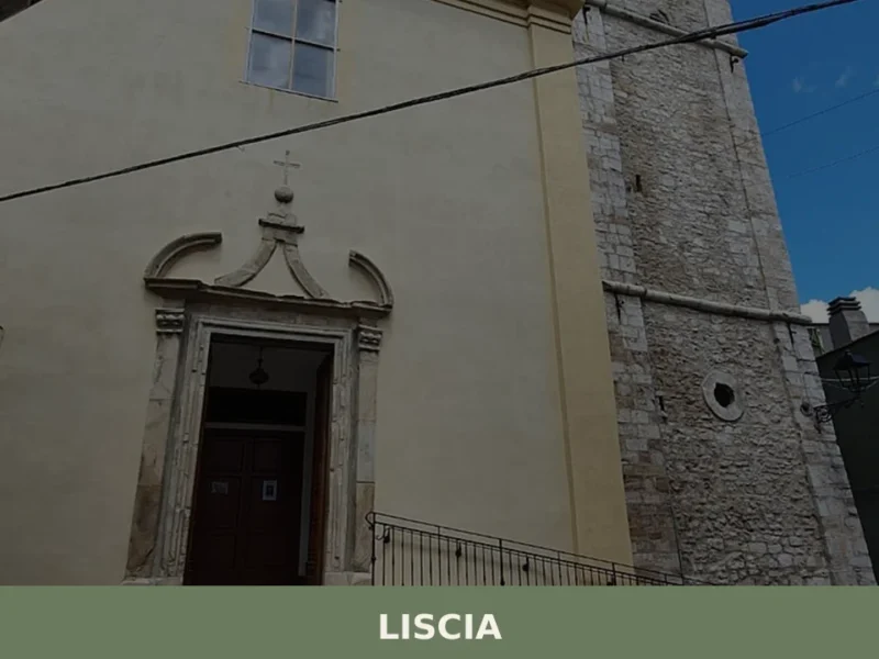
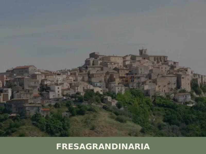
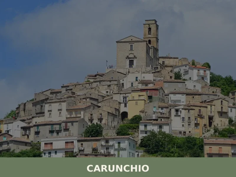
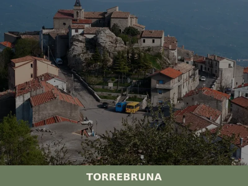
In Abruzzo More villages to discover
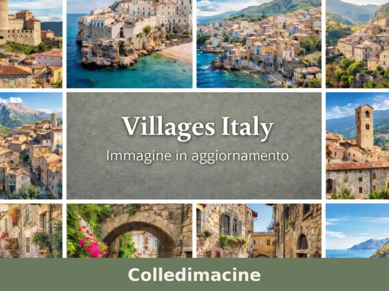
Colledimacine
One hundred and eighty-eight residents in the 2001 census, now down to 158: Colledimacine contracts with the regularity of a slow heartbeat, yet it holds on along the eastern ridge of the Majella massif, at 770 metres above sea level, in the province of Chieti. Anyone wondering what to see in Colledimacine should be prepared […]
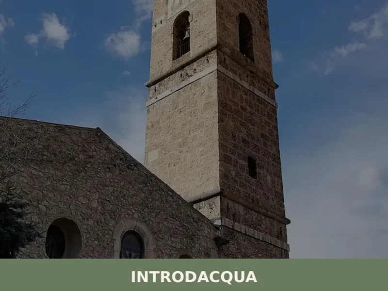
Introdacqua
At 642 metres above sea level, at the exact point where three watercourses — the Gizio, the Nera and the San Callisto — converge in the Peligna valley, stands Introdacqua, whose Latin name Intro Acquas records this confluence of waters. The village has a current population of 2,117 and retains an urban layout reflecting at […]
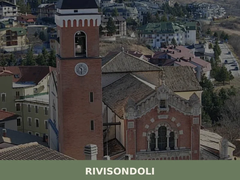
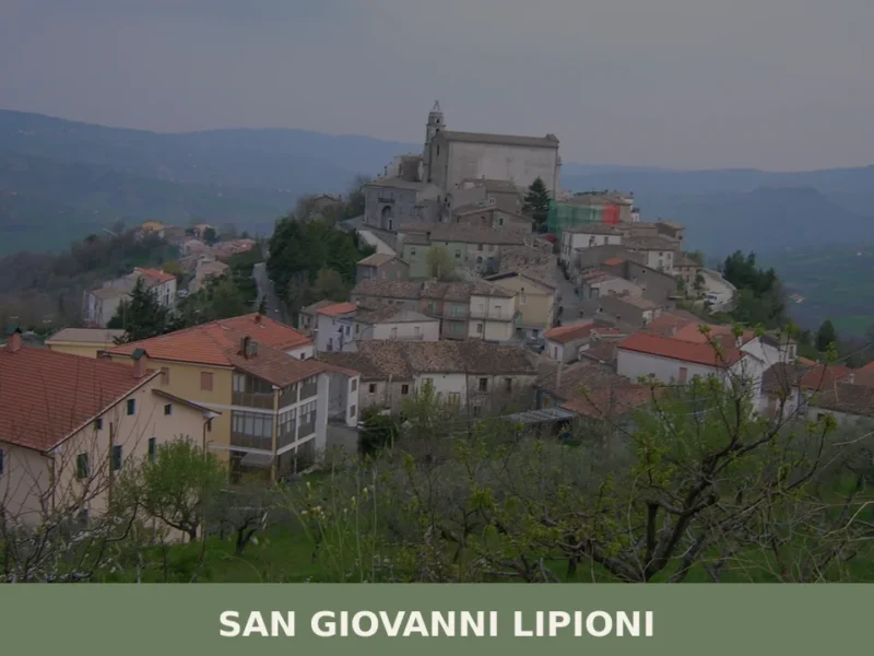
Rivisondoli
What to see in Rivisondoli, Italy: ski slopes, medieval history since 724 AD, and mountain cuisine. Explore this 684-resident Abruzzo village. Discover it now.
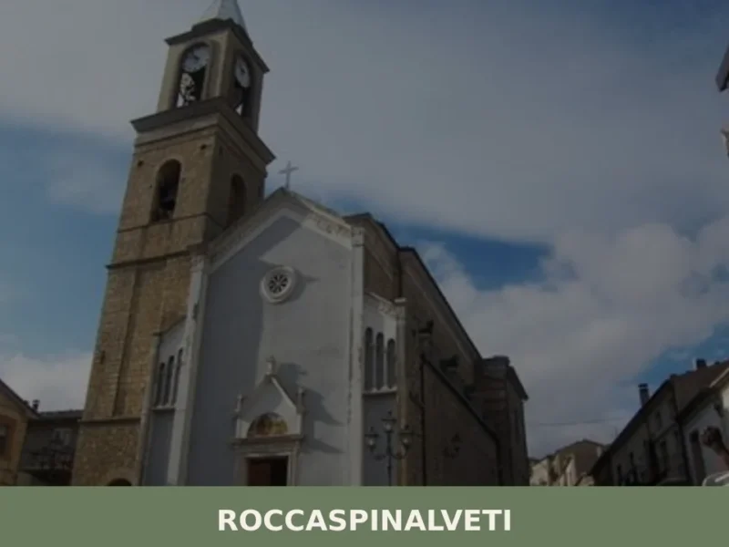
Roccaspinalveti
What to see in Roccaspinalveti? Discover 5 must-see attractions in this Abruzzese village. Guide covers things to do & how to get there. Plan your visit!
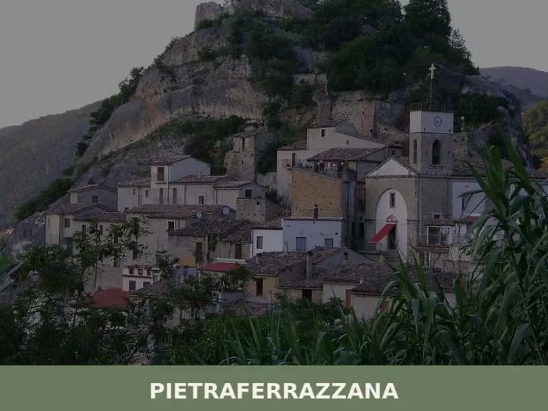
Pietraferrazzana
The rock that gives the village its name is no metaphor: Pietraferrazzana literally grew up against a stone cliff, and the profile of the village changes depending on where you stand along the Sangro valley floor. In this article History and Origins of Pietraferrazzana What to See in Pietraferrazzana: Main Attractions Traditional Cuisine and Products […]
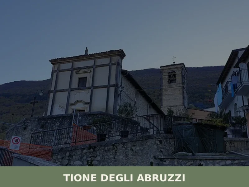
Tione degli Abruzzi
What to see in Tione degli Abruzzi, Italy includes its 322 inhabitants and railway connection. Discover the village and its Abruzzese culture. Explore this L'Aquila comune.
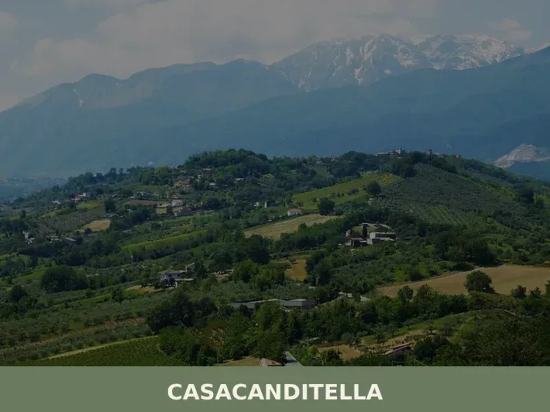
Casacanditella
At 432 metres above sea level, on the eastern slope of the Majella descending towards the Foro river valley, Casacanditella has 1,169 inhabitants and a municipal territory that extends entirely across hilly terrain in the province of Chieti. Anyone wondering what to see in Casacanditella will find a compact urban centre, a church dedicated to […]
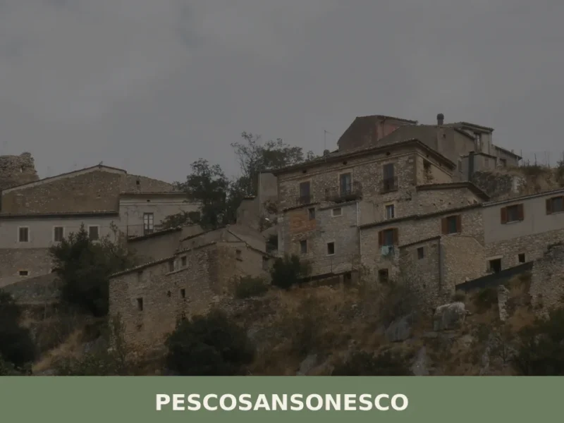
Pescosansonesco
What to see in Pescosansonesco, Italy? Discover this village at 610 m altitude, exploring its ancient ruins and a renowned sanctuary. Read our guide.
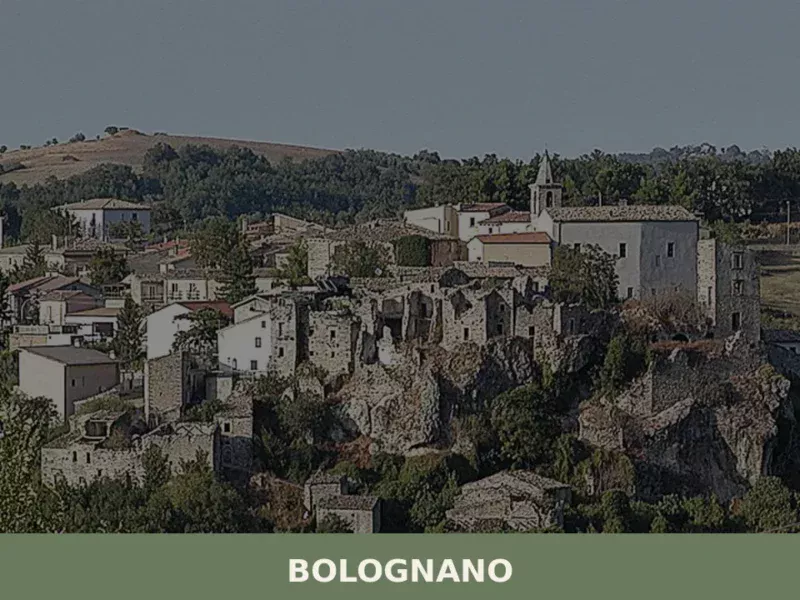
Bolognano
At 276 metres above sea level, along the Orta valley, Bolognano has a current population of 1,002 and occupies a stretch of flatland in the province of Pescara that served, between 1989 and 1992, as the site of an international art experiment conceived by the German artist Joseph Beuys. Asking what to see in Bolognano […]
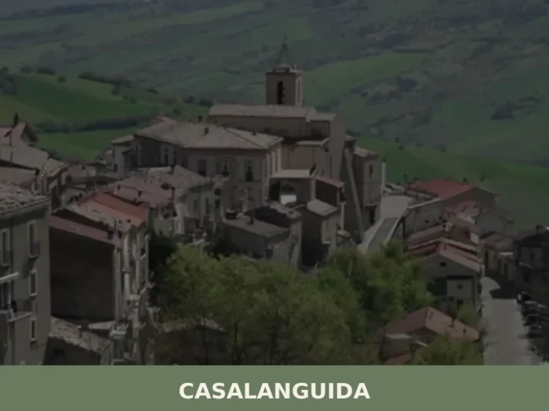
Casalanguida
With its 818 registered inhabitants and an elevation of 470 metres above sea level, Casalanguida occupies a hilltop ridge in the middle Sinello valley, in the province of Chieti. The municipal territory extends across vineyards and olive groves that mark the landscape with regular geometric patterns, visible from the provincial road that climbs up from […]


🏡 Know Tufillo better than we do?
If you’re a local or have been there, your knowledge matters: add what’s missing or fix a detail on this page.