


Villafranca in Lunigiana
What to see in Villafranca in Lunigiana: explore the Via Francigena, medieval churches and local cuisine in Toscana, Italy. Population 4,803. Discover it now.
Discover Villafranca in Lunigiana
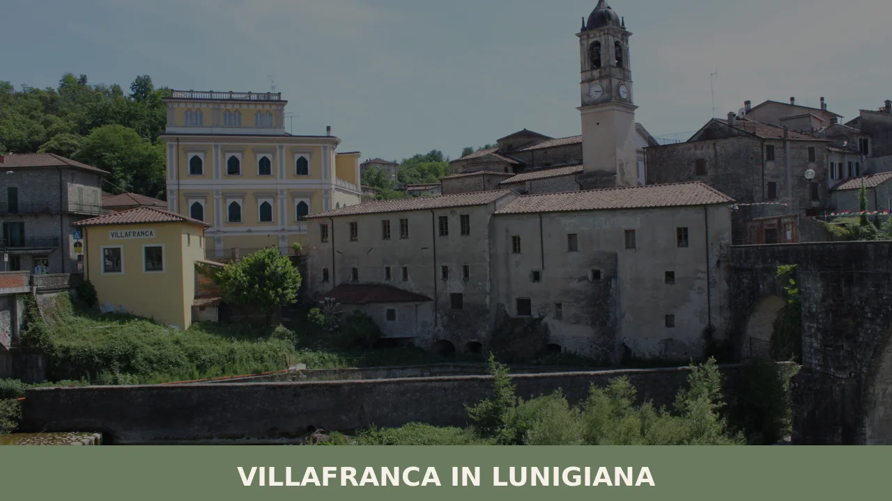
The Magra river defines the floor of the Lunigiana valley, and the road running northwest from Massa — 35 km (22 mi) of Apennine foothills — delivers you to a medieval core that still holds its original street grid.
At 138 m (453 ft) above sea level, the village sits low against the valley, not on a defensive ridge but on the floor of a corridor that pilgrims and merchants have crossed for over a thousand years.
Stone buildings line the central lanes, their facades varying from river-pebble courses to cut limestone, each surface recording a different phase of construction.
Deciding what to see in Villafranca in Lunigiana means starting with the Via Francigena, the medieval pilgrimage road that still passes through the historic center, and moving outward from there to the church of San Maurizio in the frazione of Mocrone.
With a resident population of 4,803 and an altitude of 138 m (453 ft), Villafranca in Lunigiana, Toscana, Italy is compact enough to cover on foot in a half-day, yet its documented heritage — spanning the 13th century to the present — rewards a slower pace.
Visitors to Villafranca in Lunigiana find a medieval quarter in active daily use, a local food culture tied to the broader Lunigiana tradition, and a calendar anchored by the feast of San Giovanni Battista on 24 June.
History of Villafranca in Lunigiana
The name itself encodes the settlement’s origins.
Villa franca, meaning a free town, was a designation granted by medieval lords to new settlements intended to attract inhabitants by exempting them from certain feudal duties. The Lunigiana region — the zone corresponding roughly to the upper Magra valley and named after the Roman city of Luni — was a contested corridor between the maritime republics, the bishops of Luni, and the Malaspina family, who held extensive territories in this part of northwestern Tuscany from the 12th century onward.
The foundation of Villafranca fits into that pattern of deliberate settlement planning, designed to consolidate control over a key valley route.
The nearby village of Bagnone, set in the same Lunigiana hills, grew under comparable Malaspina influence during the same medieval period.
The Via Francigena, the road connecting Canterbury to Rome, passed directly through the Lunigiana, and Villafranca’s position on that route shaped its medieval economy and architecture.
Pilgrims moving south toward Rome required hospitality infrastructure — hostels, chapels, small markets — and the village developed to serve precisely that function.
Documentary evidence places the settlement firmly within the medieval period, and the surviving historic center still reflects that original layout: a relatively regular street plan aligned with the main transit corridor rather than the defensive irregularity typical of hilltop fortresses.
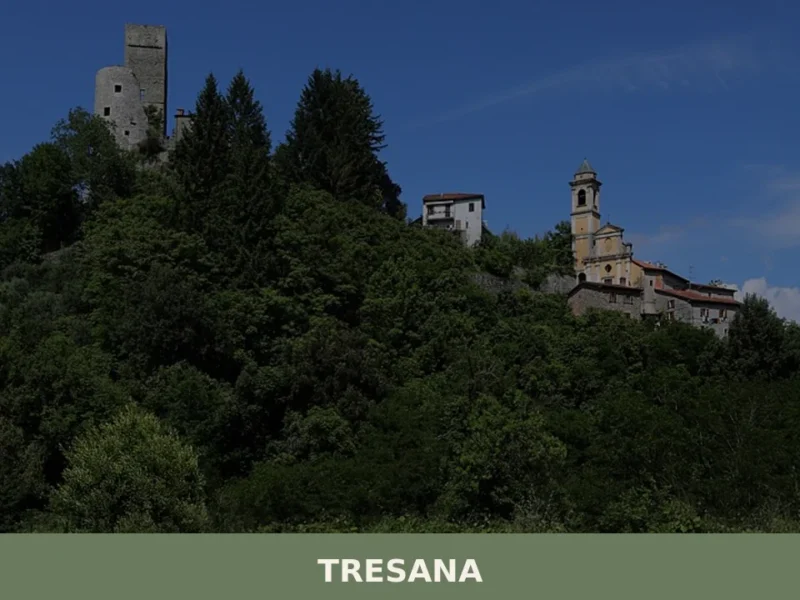
The Tresana area, a short distance to the south, shared the same medieval administrative geography under the bishops of Luni before the Malaspina consolidated their grip on both zones.
By the modern period, Villafranca in Lunigiana had been incorporated into the unified Italian state and assigned administratively to the Province of Massa and Carrara, the same province that oversees the marble-quarrying zones of the Apuan Alps to the south.
The current population of 4,803 reflects a settlement that retained a stable demographic base through the 20th century, unlike many Apennine villages that experienced severe depopulation after 1950.
The municipality today administers several frazioni — subordinate hamlets — of which Mocrone is the most documented in terms of surviving medieval architecture.
What to see in Villafranca in Lunigiana, Toscana: top attractions
The Via Francigena through the historic center
The road surface narrows to a lane between stone buildings as it crosses the medieval core, and the alignment has not shifted since pilgrims first documented this section of the Via Francigena in the early medieval period.
Standing at the entrance to the old town, you can read the logic of the route directly: the street runs straight, avoiding any unnecessary elevation change, because its purpose was movement, not defense. The historic center has retained enough of its original fabric — stone facades, covered passages, the compressed scale of a medieval transit town — to make the pilgrimage geography legible without any specialist knowledge.
For walkers following the Via Francigena today, this stretch remains an active stage; consult the official route markings before setting out, as the path through the village is waymarked and connects to the broader certified route southward toward Lucca.
The medieval historic center of Villafranca
The stone construction of the village center uses local river material and cut limestone in varying combinations, with walls that record successive phases of repair and consolidation across several centuries.
Unlike hilltop settlements built primarily for military control, Villafranca’s medieval center developed at valley level, which gives it a different spatial character: wider ground-floor openings, buildings set close to the road rather than behind defensive setbacks, a layout oriented toward commerce and transit.
Walking the central lanes in the morning, before vehicle traffic increases on the surrounding roads, gives the clearest sense of the medieval scale. The Lucca section of the Via Francigena, approximately 60 km (37 mi) to the south, provides a useful comparative reference for understanding how these transit towns were built and used across the same route.
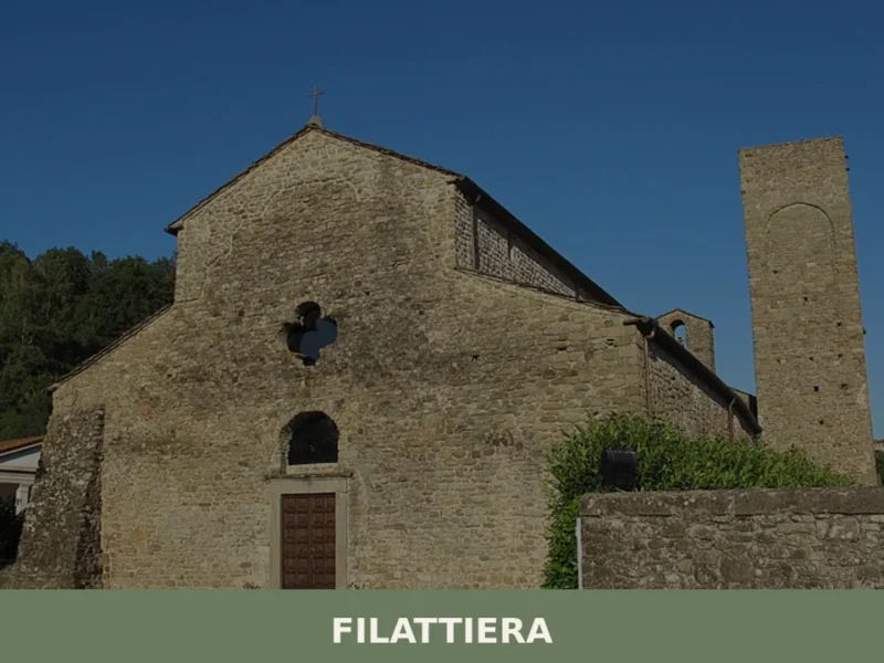
Church of San Maurizio in Mocrone
In the frazione of Mocrone, the small church of San Maurizio dates to the 13th–14th centuries, making it one of the oldest surviving structures in the municipal territory.
The building is modest in scale, as was typical of rural oratories built to serve scattered valley communities rather than urban parishes, but its construction period aligns directly with the era of maximum Malaspina influence in the Lunigiana.
The exterior stonework and the proportions of the nave reflect the Romanesque-to-Gothic transition visible across the region’s ecclesiastical architecture from that period.
Visitors arriving by car can reach Mocrone via local roads from the main village; the church exterior is visible year-round, though interior access depends on local parish schedules.
The Lunigiana valley landscape from Villafranca
At 138 m (453 ft) above sea level, Villafranca sits on the valley floor rather than on an elevated promontory, which means the surrounding landscape — the Apennine ridges to the east, the Apuan Alps visible to the south on clear days — frames the village from above rather than below.
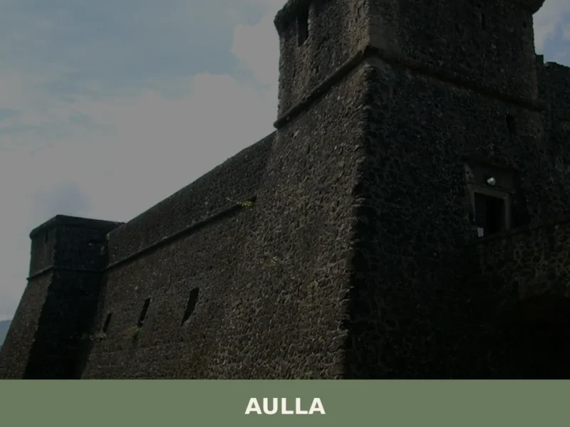
The Magra river corridor stretches northwest toward Pontremoli and southeast toward Aulla, and the fields and woodland visible from the village edges have been in agricultural use since at least the medieval period.
This ground-level perspective is geographically distinctive within the Lunigiana, where most documented settlements occupy defensive hillside positions. Early morning, before valley mist disperses, produces the clearest separation between the valley floor and the surrounding ridgelines.
The municipal territory and its frazioni
The municipality of Villafranca in Lunigiana administers a territory that extends beyond the main settlement to include several hamlets distributed across the valley and lower slopes.
Mocrone is the most architecturally documented of these, but the broader municipal area gives access to the agricultural and woodland landscape characteristic of the lower Lunigiana.
For visitors interested in the rural geography of the zone — field systems, minor roads connecting the frazioni, the relationship between valley floor and hillside settlement — the area between the main village and the outlying hamlets covers the transition usefully.
Distances between the main center and the frazioni are short; most are reachable within 10 km (6.2 mi) by car.
Local food and typical products of Villafranca in Lunigiana
The Lunigiana sits at the intersection of Tuscany, Liguria, and Emilia-Romagna, and its food culture reflects all three influences without being reducible to any one of them.
The valley’s agricultural economy historically combined cereal cultivation on the lower ground with chestnut harvesting on the mid-slopes, a combination that produced a distinct local diet based on flours and grains not found in the same proportions further south in Tuscany.
Wheat, chestnut, and spelt all appear in documented Lunigiana recipes, and the area’s relative isolation from lowland markets until the 20th century reinforced the persistence of preparations that use these ingredients in their most direct forms.
The most documented dish of the Lunigiana tradition is testaroli, a flat pasta made from a thin batter of wheat flour and water, cooked on a cast-iron disc called a testo — a circular, lidded implement placed directly over the heat source.
The cooked sheet is cut into irregular rhombus shapes, briefly re-heated in boiling water, and dressed with pesto or, more traditionally in the inland zones, with a simple oil and Parmigiano preparation. The technique is specific: the batter must be thin enough to cook rapidly on the testo without the dry heat that would produce a bread-like result.
Another preparation common to the area is panigacci, similar in method but smaller and served with cured meats and soft cheeses rather than a sauce.
Chestnut polenta, known locally as pulenta di neccio, uses dried and milled chestnut flour cooked slowly with water until it reaches a firm, sliceable consistency, often served with fresh ricotta.
The Lunigiana is also the production zone for Miele della Lunigiana DOP, a protected designation of origin honey covering the entire Lunigiana territory, including the municipalities of the Massa and Carrara province. Two varieties are covered by the DOP: acacia honey, produced from the black locust flowering in late spring, and chestnut honey, harvested in summer from the extensive chestnut woods on the Apennine slopes.
The chestnut variety is noticeably darker and more bitter than the acacia, with a persistent finish that distinguishes it clearly from standard Italian chestnut honeys produced further south.
Look for it at local markets and in the alimentari shops of the village.
The local market in Villafranca in Lunigiana operates on a weekly basis, providing access to seasonal produce from the valley floor and the surrounding slopes. Autumn is the most productive season for purchasing local products: chestnut flour, dried porcini from the Apennine woods above the valley, and preserved preparations from the summer harvest are all available in greater quantity and variety between October and November than at any other point in the year.
Festivals, events and traditions of Villafranca in Lunigiana
The principal civic and religious event of the year is the feast of San Giovanni Battista, the patron saint of Villafranca in Lunigiana, celebrated on 24 June.
The date falls at midsummer, close to the summer solstice, and in many Italian communities this timing has historically combined religious observance with older seasonal traditions.
The feast day involves a religious procession through the village, with the local parish organizing the liturgical program.
The 24th of June is also a date of civic significance in the village calendar, and the celebration draws residents from the surrounding frazioni back to the main center.
Beyond the patron feast, the broader Lunigiana calendar includes a number of sagre — traditional food festivals organized around a specific local product or dish — held in the summer and autumn months across the various municipalities. The testaroli and the chestnut harvest both generate local events in the area, typically concentrated between July and November depending on the specific product. For confirmed dates and programs, the publishes the current year’s calendar of events.
When to visit Villafranca in Lunigiana, Italy and how to get there
The most practical period for visiting is late spring (May–June) and early autumn (September–October).
In May and June, the valley is green, temperatures in the Lunigiana remain moderate at this altitude — typically between 18°C and 26°C (64°F and 79°F) — and the feast of San Giovanni Battista on 24 June falls within this window.
September and October bring cooler conditions and the beginning of the chestnut and mushroom season, which gives the food market and local shops their widest selection. July and August are the warmest months, with temperatures occasionally reaching 32°C (90°F) in the valley; the village functions normally throughout summer but the surrounding countryside is drier. Winter is quiet; some local businesses reduce their hours between December and February.
Villafranca in Lunigiana sits approximately 120 km (75 mi) northwest of Florence, making it a feasible day trip from the Tuscan capital by car, though the drive takes around 1 hour 40 minutes via the A11 and A15 motorways.
From La Spezia, the distance is roughly 40 km (25 mi), around 40 minutes by car via the A15 — a more convenient hub for those arriving by train from Genoa or Pisa.
If you arrive by car from the north, take the A15 (Autocisa motorway) and exit at Aulla or Pontremoli, both within 15–20 km (9–12 mi) of Villafranca.
The nearest train station with regular services is Villafranca-Bagnone, served by Trenitalia regional lines connecting to La Spezia and Parma; from the station, the village center is accessible on foot or by local bus. The nearest major airport is Pisa Galileo Galilei, approximately 100 km (62 mi) to the south, with a travel time of around 1 hour 15 minutes by car. For international visitors: English is not widely spoken in smaller local shops and markets, and carrying euro cash is advisable, as card payment terminals are not universal in the village’s independent businesses.
Visitors with time to extend their stay beyond Villafranca in Lunigiana can reach Prato, further south in Tuscany, as part of a broader regional itinerary, though the two towns represent quite different aspects of Tuscan history — Prato’s medieval textile economy contrasting with Villafranca’s role as a transit and pilgrimage settlement.
Frequently asked questions about Villafranca in Lunigiana
What is the best time to visit Villafranca in Lunigiana?
Late spring and early summer offer the most rewarding conditions: mild temperatures on the valley floor, clear skies that allow views of the Apuan Alps to the south, and the feast of San Giovanni Battista on 24 June, the village's patron saint celebration. September is equally pleasant, with harvest-season food culture active across the Lunigiana. Summer midday heat on the valley floor can be intense; mornings are best for walking the historic center. Winter is quiet but functional for visitors interested in the medieval architecture without crowds.
What are the historical origins of Villafranca in Lunigiana?
The name reveals the settlement's founding logic: villa franca denoted a free town granted exemptions from feudal duties to attract new inhabitants. Villafranca was established in the medieval period as a deliberate settlement in the contested Lunigiana corridor, a zone disputed between the bishops of Luni, maritime republics, and the Malaspina family, who dominated northwestern Tuscany from the 12th century. Its position on the Via Francigena — the Canterbury-to-Rome pilgrimage road — determined its street plan, which aligns with the transit route rather than following defensive hilltop logic.
What to see in Villafranca in Lunigiana? Main monuments and landmarks
Three sites anchor a visit. First, the Via Francigena through the historic center: the medieval street alignment is still intact and actively waymarked for pilgrims walking toward Lucca. Second, the medieval historic center itself, built at valley level with river-pebble and limestone facades recording centuries of construction phases — best explored on foot in the morning. Third, the church of San Maurizio in the frazione of Mocrone, dating to the 13th–14th centuries; exterior is visible year-round, interior access follows local parish schedules. Mocrone is reachable by car via local roads.
What to eat in Villafranca in Lunigiana? Local products and specialties
The Lunigiana tradition centers on a few highly specific preparations. Testaroli are the most documented: flat pasta made from wheat-flour batter cooked on a cast-iron testo, cut into rhombus shapes, and dressed with pesto or oil and Parmigiano. Panigacci, similar in method but smaller, are served with cured meats and soft cheeses. Pulenta di neccio is a firm chestnut-flour polenta typically paired with fresh ricotta. Miele della Lunigiana holds DOP status and is produced in the broader municipal territory. All four appear regularly on menus and in local markets across the area.
What can you do in Villafranca in Lunigiana? Activities and experiences
The primary activity is walking the Via Francigena, which passes directly through the historic center and connects southward to Lucca along a certified, waymarked route. The valley floor and surrounding frazioni offer accessible rural walking between hamlets, most within 10 km of the main center. Food-focused visits can be built around testaroli, panigacci, and local chestnut preparations available in the village and broader Lunigiana. The feast of San Giovanni Battista on 24 June provides a documented local event. The church of San Maurizio in Mocrone adds an architectural stop for visitors covering the municipal territory.
Who is Villafranca in Lunigiana suitable for? Families, couples, hikers, solo travelers?
Villafranca suits walkers and pilgrims following the Via Francigena, for whom the village is an active stage on the certified route. Its compact scale — coverable on foot in a half-day — and absence of steep terrain make it accessible for older visitors and families. The local food culture appeals to travelers interested in Lunigiana cuisine without the higher tourist density of better-known Tuscan destinations. Couples and solo travelers seeking a quiet, historically layered stop between Pontremoli and Aulla will find the medieval center and valley landscape genuinely rewarding. It is not a beach or adventure-sport destination.
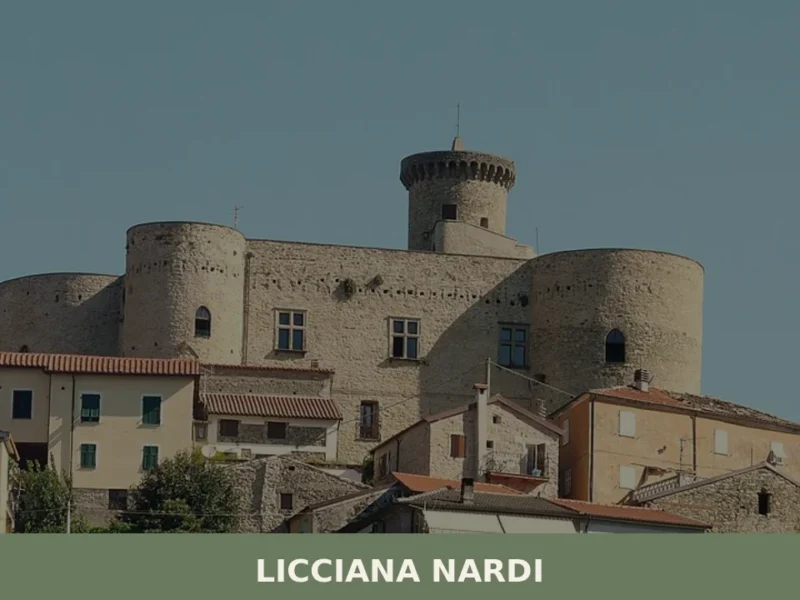
Nearby Villages near Villafranca in Lunigiana
In Tuscany More villages to discover
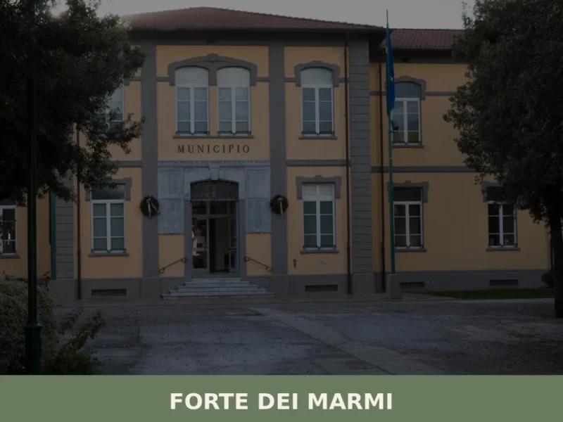
Forte dei Marmi
What to see in Forte dei Marmi, Italy: the 1788 fortress, sandy beaches, satirical art museum and weekly market. Population 7,619. Explore the full guide.
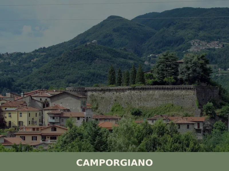
Camporgiano
What to see in Camporgiano, Italy: a hilltop comune at 475 m in Garfagnana, Toscana. Discover the fortress, San Iacopo feast and local chestnut traditions.
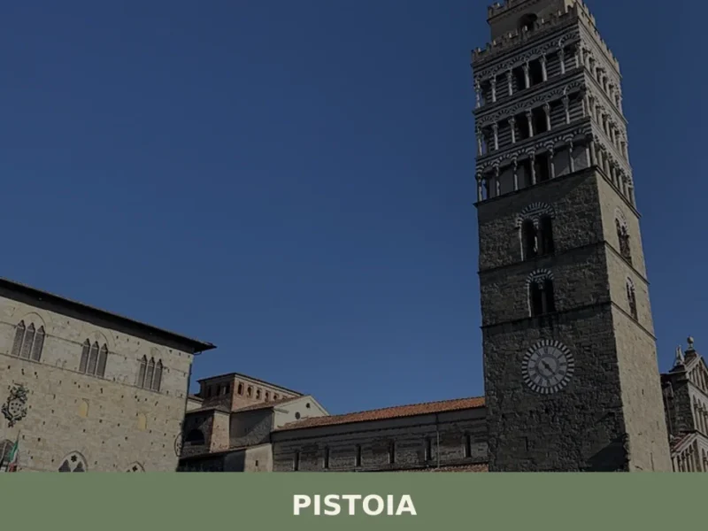
Pistoia
Discover Pistoia, a charming village in Tuscany, Italy. Explore its rich history, stunning architecture, and authentic Italian culture off the beaten path.
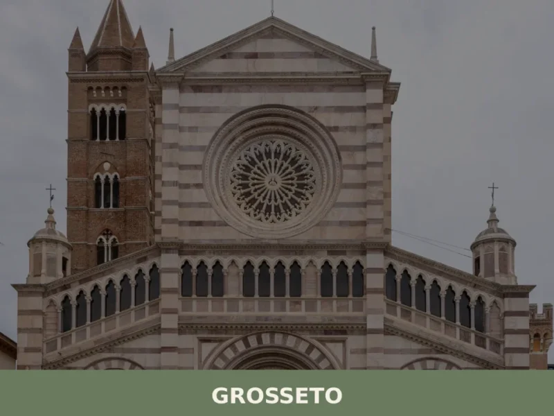
Grosseto
What to see in Grosseto: Medici walls, San Lorenzo Cathedral and the Maremma Natural Park in a city of 79,216 inhabitants. Plan your visit with our complete guide.
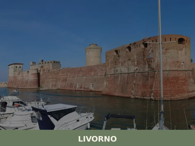
Livorno
What to see in Livorno, a port city of 157,000 on the Tyrrhenian coast: Fortezza Vecchia, Quartiere Venezia, cacciucco, Terrazza Mascagni. Plan your visit now.
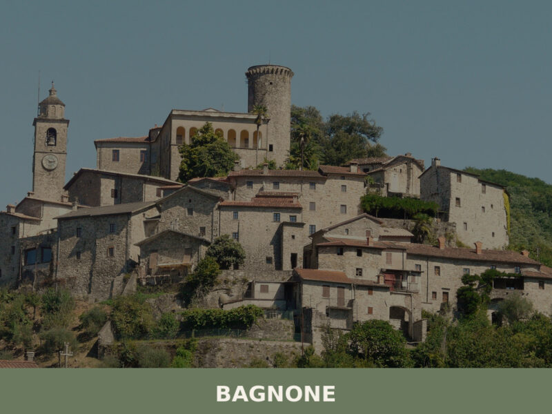
Bagnone
Morning mist lifts off the Bagnone creek and thins against stone walls that have stood since the eleventh century. The sound of water — always water — fills the narrow lanes, running beneath bridges and alongside houses built directly into the rock. With fewer than two thousand residents, this small settlement in the Massa e […]
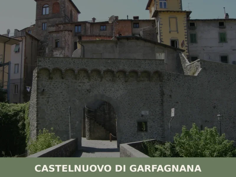
Castelnuovo di Garfagnana
What to see in Castelnuovo di Garfagnana: Rocca Ariostesca, the Cathedral and the historic centre. Discover the guide to plan your visit to this Tuscan village.
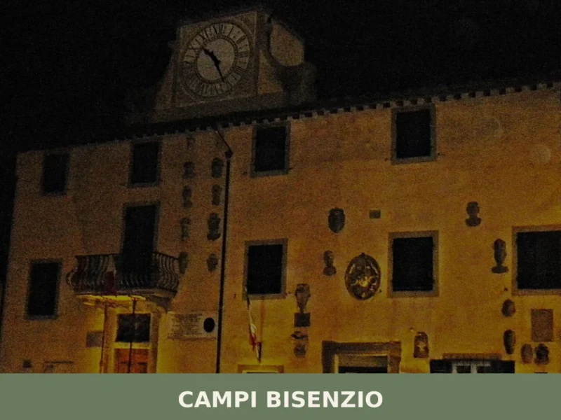
Campi Bisenzio
What to see in Campi Bisenzio, Italy: 43,580 inhabitants, 10 km from Florence. Discover the birthplace of the internal combustion engine, Renaissance art and more.
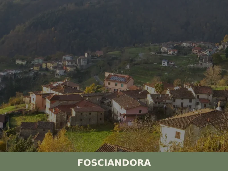
Fosciandora
What to see in Fosciandora, Italy: 9 churches, a medieval mill, local Garfagnana cuisine and the feast of San Sebastiano. Explore this Lucca province village at 390 m.
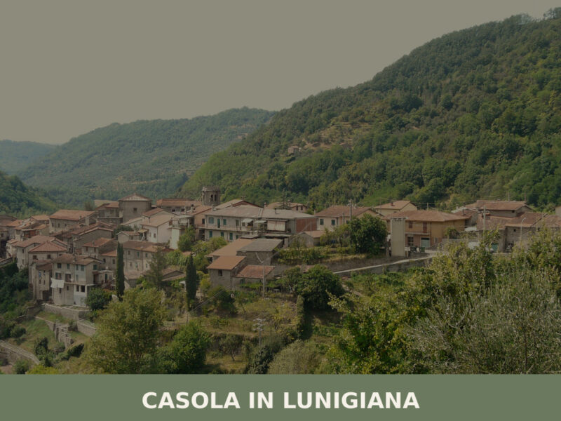
Casola in Lunigiana
Morning fog lifts slowly from the Aulella valley, revealing stone walls the colour of dried clay and a bell tower that has marked the hours here for centuries. The air carries woodsmoke and the faint mineral scent of chestnut groves climbing the surrounding slopes. With roughly one thousand inhabitants, Casola in Lunigiana remains one of […]


🏡 Know Villafranca in Lunigiana better than we do?
If you’re a local or have been there, your knowledge matters: add what’s missing or fix a detail on this page.