


Barbania
What to see in Barbania: 5 attractions in this Piedmontese village, from the parish church to the castle. Discover the complete guide to plan your visit.
Discover Barbania
The Malone river plain stretches north from Turin in long, level reaches, and somewhere in that corridor of farmland and low hills the ground lifts just enough — to 362 m (1,188 ft) — for a village to take hold. Barbania sits at that modest elevation in the Metropolitan City of Turin, its outline clear against the backdrop of the Canavese foothills.
With 1,563 inhabitants and borders that touch five neighbouring municipalities, the place has a self-contained density that belongs more to the early medieval period than to anything built recently.
For visitors planning a trip to northern Piemonte, knowing what to see in Barbania means starting with its Celtic foundations and following the thread through a documented medieval commune, a Savoyard annexation, and a local feast that closes out the summer.
Barbania, Piemonte, Italy sits 25 km (15.5 mi) north of Turin, making it a practical day trip from the regional capital. Visitors to Barbania find a compact hill settlement with a parish church, a calendar anchored to the feast of San Giuliano di Brioude, and direct access to the natural corridor of the Malone valley.
History of Barbania
The earliest documented presence at the site of Barbania dates to the fine del V secolo a.C. — the late 5th century BC — when a Salassi Celtic village was established on this section of the Malone plain. The Salassi were a Celtic-speaking people who occupied much of what is now the Aosta Valley and the adjacent Piedmontese lowlands before Roman consolidation. Their choice of this particular location along the plain reflects a pattern common to the Canavese area: settlements placed at the junction of navigable watercourses and defensible natural ridges.
The name Barbania itself likely carries pre-Roman phonological roots, though no single etymology has been definitively established in the sources.
By the 11th century, Barbania had reorganised itself into a libero comune, a free commune, which meant it held a degree of administrative and judicial self-governance independent of the larger feudal powers surrounding it.
This status was not unusual for the Canavese region in the high medieval period, where a number of small settlements managed to maintain autonomous civic institutions. The free commune period lasted until 1305, when Philip I of Piedmont, a member of the House of Savoy, brought Barbania under Savoyard control through conquest. From that point, the history of the village runs in parallel with the broader expansion and consolidation of the Duchy of Savoy across the western Alpine foothills and the Po plain.
Under Savoyard rule, Barbania lost its independent civic standing but gained the relative stability that came with integration into one of the most administratively organised states in pre-unification Italy.
The duchy’s road networks, agricultural policies and ecclesiastical structures all left their marks on the settlement pattern visible today.
Barbania borders five municipalities — Rivara, Busano, Rocca Canavese, Levone, and Vauda Canavese — a configuration that reflects the dense subdivision of the Canavese territory that took shape during the Savoyard period and was largely preserved through Italian unification in 1861 and the subsequent administrative reorganisations of the 20th century. The village’s current status as part of the Metropolitan City of Turin dates to the 2015 reform that replaced the Province of Turin with the enlarged metropolitan authority.
What to see in Barbania, Piemonte: top attractions
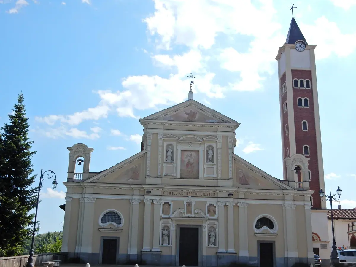
Parish Church of San Giuliano di Brioude
The parish church dedicated to San Giuliano di Brioude occupies a central position in the village and functions as the architectural focal point of Barbania’s built environment. San Giuliano di Brioude was a Roman-era martyr venerated across the Alpine arc, and his cult reached the Canavese area through the extensive ecclesiastical networks of the early medieval period.
The church’s interior retains elements accumulated across several centuries of renovation, and the exterior facade reads as a layered record of local construction practice.
The feast of the patron saint falls on the last Sunday of August and the following Monday, making late summer the moment when the church draws the largest gathering of residents and visitors. Plan to arrive before the Sunday morning messa solenne, the solemn mass, to see the building in its most active liturgical use.
The Malone River Plain and Valley Landscape
Barbania stands in the middle of the Malone river plain, a flat agricultural corridor that runs roughly north to south between the Canavese hills and the outer ring of the Turin metropolitan area. The plain itself sits at around 300–362 m (984–1,188 ft) of elevation and offers unobstructed sightlines across cultivated fields toward the first alpine foothills.
The Malone is not a major river in terms of discharge, but its plain has shaped the settlement geography of this section of Piemonte for over two millennia, from the Salassi villages of the 5th century BC onward.
Walking the paths that follow the river’s course gives a direct sense of why this corridor attracted early settlement: flat ground, water access, and clear lines of visibility in all directions. The best light for the landscape is in the morning hours, when the alpine backdrop to the north becomes sharp and defined.
The Medieval Commune Boundaries and Historic Centre
The physical imprint of Barbania’s 11th-century free commune period survives in the organisation of its historic centre, where the street pattern and plot boundaries reflect a pre-Savoyard urban logic. The conquest by Philip I of Piedmont in 1305 reoriented the village politically, but the underlying spatial structure — the relationship between the central religious building, the communal gathering spaces, and the residential quarters — remained largely intact.
Walking the central streets takes roughly 20 to 30 minutes at a comfortable pace, covering a compact area that measures no more than a few hundred metres across.
The walls and building materials in the older sections show the use of local stone consistent with Canavese construction traditions. This is where what to see in Barbania becomes most legible: the built layers of seven centuries of continuous occupation compressed into a walkable distance.
Rocca Canavese Border Zone and Surrounding Municipalities
Barbania’s administrative boundary with Rocca Canavese to the northeast marks a transition in the landscape from plain to the first significant hill ridges of the Canavese proper. The area between the two municipalities — separated by a short drive or a 5–8 km (3.1–5 mi) walk depending on the route — illustrates the density of settlement that characterises this part of the Metropolitan City of Turin, where five or six communes can occupy a radius of roughly 10 km (6.2 mi).
Rocca Canavese takes its name from a fortified rock formation, and the visual contrast with Barbania’s plain-edge position is immediate.
For those interested in the historic villages of the Canavese area, Agliè lies a short distance further into the district and adds the context of a ducal residence to the itinerary. The border zone itself is accessible by local road from the village centre in under ten minutes by car.
Local Devotional and Processional Routes
The feast calendar of Barbania organises a set of processional routes through the village that are used on the last Sunday of August and the Monday following — the two days of the patron saint celebration. These routes, which pass through the historic centre and connect the parish church to the outlying residential areas, function as a moving map of the settlement’s social geography.
The distances involved are modest, in keeping with a village of 1,563 inhabitants, but the routes pass points of architectural interest that are otherwise easy to miss on an unguided walk.
The Monday continuation of the feast — less formal than the Sunday proceedings — is when the village’s communal character is most directly visible to outside visitors. Arriving on Sunday evening and staying through Monday morning gives the fullest picture of how the celebration unfolds across both days.
Local food and typical products of Barbania
Barbania sits within the gastronomic orbit of the Canavese, a sub-region of Piemonte whose food culture draws on alpine, hill and plain traditions simultaneously. The Malone plain provides the agricultural base: cereals, vegetables and the fodder crops that have supported local livestock farming for centuries. The proximity to Turin — 25 km (15.5 mi) to the south — means the village has historically been integrated into the broader Piedmontese food economy rather than developing in isolation, and the cooking reflects the regional repertoire rather than a narrow local specialisation.
The Canavese table centres on dishes that use relatively few ingredients with a high degree of technical precision in preparation.
Panissa canavesana is a rice-and-bean dish cooked with local salami and red wine — specifically Barbera or Bonarda — that differs in detail from the Vercelli version of the same name.
Friciula, a fried dough preparation associated with festive occasions across the Canavese, appears in several variants depending on the household. Toma canavesana, a semi-firm cow’s milk cheese produced in the hill zone, is the most widely available local dairy product and is typically served either fresh, at two to four weeks of ageing, or more mature, after sixty or more days, when the paste becomes drier and the flavour more pronounced. Polenta, prepared with locally grown maize and served with braised meat or cheese, remains a consistent presence on the colder-season menu across the entire area.
No certified DOP or IGP products are specifically attributed to Barbania in the available sources. However, several certified products of the broader Piemonte region are current in the local market: Toma Piemontese (DOP) is produced across a large number of Piedmontese communes and available throughout the Canavese.
Riso di Baraggia Biellese e Vercellese (DOP) — the protected rice from the Baraggia plain to the north — enters local cooking as the base for panissa and other rice preparations.
These products are found in local alimentari and periodic markets rather than in dedicated specialist outlets.
The patron saint feast at the end of August coincides with the final weeks of the summer produce season, and the Monday continuation of the celebration — more informal than the Sunday mass — typically involves communal eating in the village. Local sagre, traditional food festivals tied to specific products or seasons, occur across the Canavese in late summer and early autumn; Barbania’s own calendar follows the same seasonal logic, with the August feast functioning as the primary moment of collective food culture in the village’s annual cycle.
Festivals, events and traditions of Barbania
The central event in Barbania’s annual calendar is the feast of San Giuliano di Brioude, the village’s patron saint, which takes place on the last Sunday of August and continues through the following Monday. San Giuliano di Brioude was martyred in Roman Gaul in the 3rd century and became one of the most widely venerated saints across the Alpine arc during the early medieval period. In Barbania, the feast opens with a solemn mass in the parish church dedicated to the saint, followed by a procession through the historic centre.
The Monday continuation gives the celebration a second, more informal day, when the religious component gives way to communal gathering and the village square functions as the primary social space.
The two-day structure of the feast — Sunday formal, Monday popular — is consistent with the pattern of patron saint celebrations across rural Piemonte, where the liturgical obligations of the first day are balanced by the civic and social character of the second.
Music, shared meals and the presence of vendors and market stalls are typical features of the Monday session, though the specific programme varies from year to year. For visitors planning around the best time to visit Piemonte, late August in Barbania offers the combination of warm, dry weather — the driest period in the Piedmontese calendar — and this locally rooted celebration, which draws participants from the surrounding municipalities as well as the resident population.
When to visit Barbania, Italy and how to get there
The most practical period to visit Barbania runs from late April through early October, when daylight hours are long and the weather on the Malone plain is consistently workable. Late August specifically aligns with the patron saint feast, which gives an otherwise quiet village a concentrated moment of activity. Spring visits — late April to early June — benefit from lower visitor volumes across the wider Canavese area and clear conditions for viewing the alpine backdrop to the north.
Those interested in the rural landscape find the autumn harvest months (September and October) useful, when the agricultural cycle of the plain is at its most visible. Winter is functional but offers limited daylight and few specific events.
Getting to Barbania from Turin is straightforward. By car, the most direct route follows the SS460 northward from the Turin ring road toward Rivarolo Canavese, with Barbania accessible via local roads at approximately 25 km (15.5 mi) from the city centre — roughly 35 to 45 minutes depending on traffic at the northern Turin exit.
The nearest significant rail hub is Trenitalia‘s Rivarolo Canavese station, served by regional trains on the Turin–Rivarolo line; from Rivarolo, local connections or road transport cover the remaining distance to Barbania.
Turin’s Torino Caselle Airport (TRN) lies approximately 20 km (12.4 mi) to the south-southwest of Barbania, making it the most convenient international entry point; journey time from the airport to the village by car is typically under 30 minutes. From Milan, the distance is approximately 120 km (74.5 mi), making Barbania reachable as a longer day trip from the Lombardy capital. International visitors should note that English is limited in smaller local shops and services, and carrying euro cash is advisable for purchases in the village.
For those building a wider Canavese itinerary, Brosso lies further into the Canavese hills to the northeast and extends the historical scope of any visit to this part of the Metropolitan City of Turin.
Visitors who have already covered the western arc of Piemonte — for instance, those arriving via Avigliana, which anchors the Val di Susa corridor to the southwest of Turin — can add Barbania as a northern counterpoint on a circuit that traces the full ring of settlements around the regional capital.
The official municipal website of Barbania provides current administrative information and any updates to the local event calendar.
Those exploring the broader Torino province can also consider a stop at Arignano, a Piemontese village southeast of Turin that rounds out the geographic diversity of the metropolitan territory.
Frequently asked questions about Barbania
What is the best time to visit Barbania?
The ideal time to visit Barbania is in late summer, specifically the last Sunday of August and the following Monday, to experience the vibrant patron saint feast of San Giuliano di Brioude. This period offers the fullest immersion into local traditions with processional routes and communal celebrations. For landscape photography and walks along the Malone River plain, morning hours are recommended, as the alpine backdrop becomes sharp and defined, offering clear views of the Canavese foothills.
What are the historical origins of Barbania?
Barbania boasts deep historical roots, with its earliest documented presence dating back to the late 5th century BC, when a Salassi Celtic village was established on the Malone plain. By the 11th century, it evolved into a libero comune (free commune), maintaining self-governance until 1305. From that point, Barbania came under Savoyard control, integrating into one of pre-unification Italy's most organized states, a history still reflected in its compact, medieval-era settlement pattern.
What to see in Barbania? Main monuments and landmarks
The central attraction is the Parish Church of San Giuliano di Brioude, an architectural focal point with centuries of accumulated renovations. During the patron saint feast (last Sunday of August), visitors can observe its active liturgical use. Explore the Medieval Commune's Historic Centre, a compact area walkable in 20-30 minutes, where street patterns and local stone buildings reveal seven centuries of continuous occupation. The Malone River Plain offers gentle walks and scenic views of cultivated fields and the distant Alpine foothills, particularly picturesque in the morning light.
What are the main natural or scenic attractions of Barbania?
Barbania's primary natural attraction is the Malone River Plain and its valley landscape. This flat agricultural corridor, situated at 300–362 meters of elevation, offers unobstructed sightlines across cultivated fields toward the first alpine foothills. Walking the paths that follow the Malone river's course provides a direct sense of the area's historical settlement patterns and offers tranquil views. The best light for appreciating this landscape is in the morning hours, when the alpine backdrop to the north appears sharp and well-defined.
Where to take the best photos in Barbania?
For stunning landscape photography, head to the Malone River Plain in the morning hours. The unobstructed sightlines across cultivated fields towards the sharp, defined alpine foothills to the north offer excellent opportunities. Within the village, the Parish Church of San Giuliano di Brioude serves as a central architectural focal point, ideal for capturing the historic character. The narrow streets of the Medieval Commune's Historic Centre, with their local stone walls, also provide picturesque shots of Barbania's layered history.
Are there museums, churches or historic buildings to visit in Barbania?
Yes, Barbania features the Parish Church of San Giuliano di Brioude, which is the village's central architectural and spiritual landmark. While specific general visiting hours are not documented, it's particularly active during the patron saint feast on the last Sunday of August. The historic centre itself functions as an open-air testament to the village's past, with its pre-Savoyard street patterns and buildings constructed from local stone, reflecting seven centuries of continuous occupation. No museums are mentioned within the village.
What can you do in Barbania? Activities and experiences
Visitors can immerse themselves in history by exploring the Medieval Commune's Historic Centre, a compact area perfect for a 20-30 minute walk. Enjoy gentle strolls along the paths of the Malone River Plain, appreciating the agricultural landscape and views of the Canavese foothills. For a truly authentic experience, plan your visit for the last Sunday of August and the following Monday to participate in or observe the patron saint feast of San Giuliano di Brioude, including its unique processional routes. Sampling the local Canavese gastronomy, like Panissa canavesana and Toma canavesana, is also a must.
Who is Barbania suitable for? Families, couples, hikers, solo travelers?
Barbania is ideal for history and culture enthusiasts, offering a tangible link to Celtic, medieval, and Savoyard periods through its historic centre and parish church. It's well-suited for those seeking authentic local experiences, especially around the patron saint feast in late August. Nature lovers and light hikers will appreciate the gentle walks along the Malone River Plain. As a compact village just 25 km north of Turin, it makes an excellent day trip for couples, solo travelers, or families looking for a quiet, culturally rich escape into the Piedmontese countryside.
What to eat in Barbania? Local products and specialties
Barbania's cuisine is deeply rooted in the Canavese gastronomic tradition, blending alpine, hill, and plain influences. Must-try specialties include Panissa canavesana, a hearty rice-and-bean dish enriched with local salami and red wine, typically Barbera or Bonarda. Friciula, a delightful fried dough preparation, is a popular treat during festive occasions. For cheese lovers, Toma canavesana, a semi-firm cow's milk cheese, is widely available and enjoyed both fresh and more mature, reflecting the area's dairy farming heritage.
Nearby Villages near Barbania

In Piedmont More villages to discover
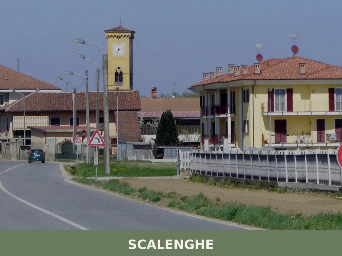
Scalenghe
A comune of 3,195 residents where centuries-old churches meet a landscape shaped by cattle and grain. Medieval roots and modern farming define this territorial landmark.
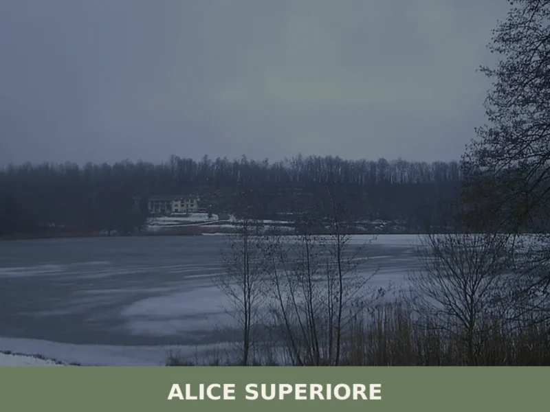
Alice Superiore
Alice Superiore sits at 610 metres above sea level in the Chiusella Valley, a lateral branch of the Canavese district within the Metropolitan City of Torino. Home to 711 inhabitants, the village occupies a stretch of sloping terrain where chestnut woods give way to Alpine pasture. For anyone researching what to see in Alice Superiore, […]
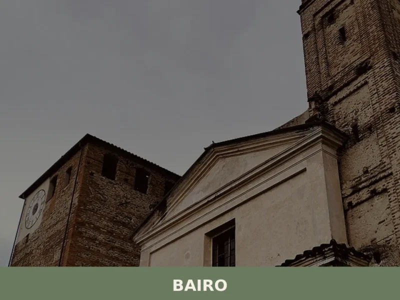
Bairo
The earliest confirmed record of Bairo dates to a document from 1003, when Marquess Arduino of Ivrea — who would shortly become King of Italy — confirmed landholdings in this portion of the Canavese between the moraine ridge and the foothills of the Graian Alps. Today the municipality has 806 inhabitants, spread across the historic […]

Strambino
6,000 residents, one castle on a hill, and a church whose floor plan mirrors a frog. Strambino offers a layered Canavese identity few visitors expect.

Salbertrand
A 627-soul mountain village at 1,032 metres, rooted in Occitan tradition and medieval pilgrimage routes. Stone fountains, frescoed churches and views of the Ambin peaks define its character.
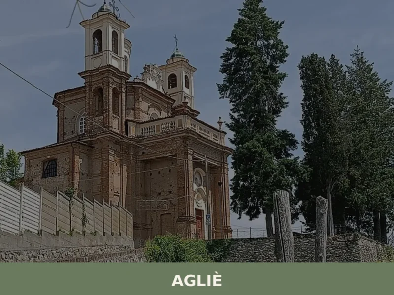
Agliè
In 1646, Count Filippo San Martino d’Agliè — diplomat, poet, choreographer at the court of Christine of France — danced in the great hall of the castle that bears his name, directing baroque festivities destined to reshape Savoyard court ceremony. That castle still dominates the village’s skyline today with its eighteenth-century façade stretching over one […]
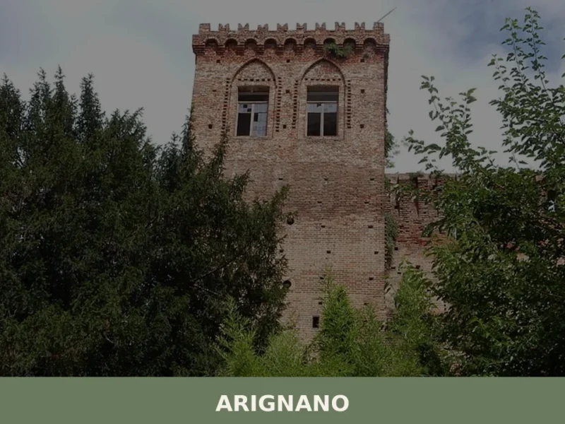
Arignano
What to see in Arignano in Piedmont: castle, church, hill trails, traditional cuisine, and practical information for visiting the village at 321 m a.s.l.
Piscina
Scopri Piscina borgo Piemonte: storia, tradizioni e attrazioni di questo affascinante comune piemontese tutto da esplorare.
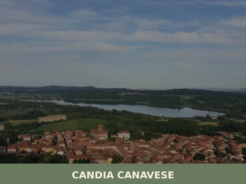
Candia Canavese
Scopri Candia Canavese, il gioiello del Piemonte affacciato sul lago. Storia, natura e tradizioni ti aspettano in questo borgo incantevole del Canavese.
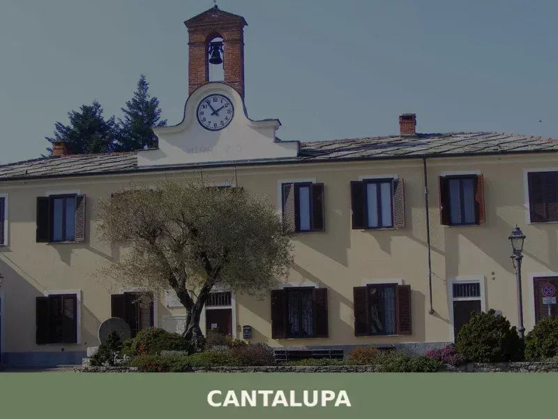
Cantalupa
Scopri Cantalupa borgo Piemonte: storia, tradizioni e attrazioni di uno dei gioielli nascosti delle colline piemontesi. Visita questo angolo autentico d'Italia!


🏡 Know Barbania better than we do?
If you’re a local or have been there, your knowledge matters: add what’s missing or fix a detail on this page.