


Bicinicco
A commune of 1,801 inhabitants on the Friulian plain south of Udine. Discover the churches, hamlets, and agricultural landscape of Bicinicco.
Discover Bicinicco
Morning mist lifts from flat farmland and the bell tower of a parish church materialises against a pale sky. A rooster calls from behind a low stone wall. Along the main road, a bar opens its shutters and the first espresso machine of the day hisses to life. This is Bicinicco — a commune of 1,801 inhabitants sitting at 36 metres above sea level on the Friulian plain south of Udine. Knowing what to see in Bicinicco means understanding a landscape shaped less by spectacle than by centuries of quiet, deliberate cultivation.
History of Bicinicco
The name “Bicinicco” almost certainly derives from a Roman-era personal name — likely “Bicinius” or “Bicinicus” — followed by the Latin suffix -icum, a pattern common across Friuli Venezia Giulia that signals an ancient estate or landholding. The territory was part of the broader Roman colonisation of the Venetian plain, a grid of agricultural parcels still faintly legible in the alignment of roads and irrigation ditches today.
During the medieval period, the commune fell within the jurisdiction of the Patriarchate of Aquileia, the ecclesiastical power that governed much of the Friulian lowlands from the early Middle Ages until the Venetian Republic absorbed the territory in 1420. Bicinicco’s scattered hamlets — or frazioni — including Gris, Griis, and Cuccana, developed around small churches and manor houses. The area’s strategic irrelevance, paradoxically, preserved it: no major sieges, no famous battles, only the steady accumulation of stone, lime, and agricultural memory.
The upheavals of the 20th century — two world wars, the devastating 1976 Friuli earthquake — tested the commune without erasing it. Reconstruction efforts in the late 1970s repaired damaged structures while largely maintaining the original building footprints, leaving Bicinicco with an architectural continuity rare in the region’s earthquake zone.
What to see in Bicinicco: 5 must-visit attractions
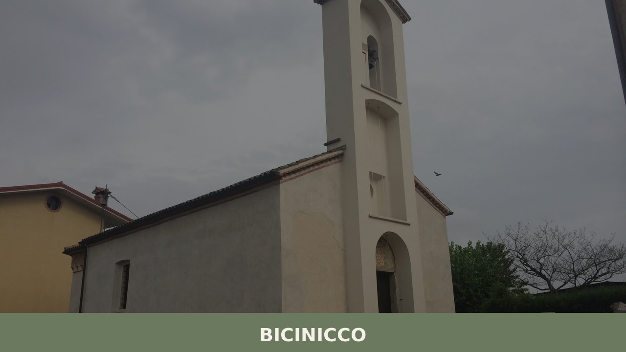
1. Chiesa di Sant’Andrea (Gris)
Standing in the hamlet of Gris, the Church of Sant’Andrea is the most recognisable landmark of the commune. Its simple façade, clean plaster walls, and modest bell tower represent the rural ecclesiastical architecture typical of the Friulian lowlands. The interior preserves devotional elements dating back several centuries, and the surrounding churchyard offers an uninterrupted view across the flat agricultural horizon.
2. Parish Church of Bicinicco
The main parish church in the centre of the commune anchors the village’s compact civic core. Rebuilt and restored over the centuries, particularly after earthquake damage, it remains the gathering point for communal life. The altar and interior decorations reflect the sober piety characteristic of Friulian worship spaces — functional, dignified, without excess.
3. The Friulian Rural Landscape
Bicinicco sits within one of the most intact stretches of the bassa friulana, the low-lying plain south of Udine. Fields of maize, soy, and grapevines extend in every direction, crossed by narrow irrigation channels. Walking or cycling along the farm roads that connect the frazioni reveals a working agricultural territory where the geometry of Roman land division persists beneath the modern surface.
4. The Frazioni: Gris and Cuccana
Bicinicco is not a single settlement but a constellation of small hamlets, each with its own character. Gris holds the church of Sant’Andrea; Cuccana offers clusters of traditional Friulian farmhouses, some with enclosed courtyards and exterior bread ovens. Exploring these outlying hamlets on foot gives a tangible sense of how pre-modern communities organised themselves around shared resources and devotional sites.
5. Local Villas and Rural Architecture
Scattered through the commune are examples of rural manor houses and modest ville — not grand Palladian structures, but solid, functional country residences built by minor landowning families over the centuries. Their stone doorways, shuttered windows, and walled gardens speak to a provincial aristocracy that measured wealth in hectares and harvests rather than marble.
Local food and typical products
The cuisine around Bicinicco belongs to the bassa friulana tradition — hearty, grain-based, shaped by long winters. Frico, the crisp disc of melted Montasio cheese (a DOP product of the region), appears on nearly every table. Polenta — made from locally grown maize and cooked slowly in copper pots — serves as the foundation for most meals, paired with cured meats like prosciutto di San Daniele or slow-braised game. Cjarsòns, sweet-and-savoury stuffed pasta native to nearby mountain valleys, sometimes appear on menus in updated lowland versions.
The surrounding territory is also a wine-producing zone. The broader Friuli Venezia Giulia wine region yields notable whites — Friulano (formerly Tocai), Ribolla Gialla, and Pinot Grigio — that are widely available at local osterie and agriturismi. In a commune this small, dining options are limited but genuine; the nearby city of Udine, only a short drive north, offers a fuller range of restaurants rooted in the same culinary tradition.
Best time to visit Bicinicco
Late spring — May and June — brings warm temperatures, long daylight hours, and fields in full growth. The Friulian plain can be oppressively hot in July and August, with humidity settling over the flat terrain. Autumn, particularly September and October, offers cooler air, grape harvest activity, and the golden light that defines the Po Valley at that time of year. Winter is cold and often foggy, which lends the landscape a certain austere beauty but limits visibility and outdoor comfort.
Local sagre — village festivals centred on food, patron saints, and harvest cycles — punctuate the calendar throughout the warmer months. These small-scale events are the most authentic way to experience communal life in the bassa friulana. Checking with the Comune di Bicinicco for current event dates is advisable, as schedules shift from year to year.
How to get to Bicinicco
Bicinicco lies approximately 15 kilometres south of Udine, reachable via the SR352 or local provincial roads. The A23 motorway (Udine–Tarvisio) and A4 (Venice–Trieste) both pass within easy reach, with exits at Udine Sud providing the most direct access. Udine’s train station, served by regional and national Trenitalia services, is the nearest major rail connection; from there, a car or local bus completes the journey in roughly 20 minutes.
The closest international airport is Trieste–Friuli Venezia Giulia Airport (Ronchi dei Legionari), about 50 kilometres to the southeast. Venice Marco Polo Airport, approximately 130 kilometres to the southwest, offers a wider range of international flights. A rental car is effectively essential for exploring Bicinicco and its frazioni, as public transport in the commune is minimal.
More villages to discover in Friuli Venezia Giulia
The territory of Friuli Venezia Giulia stretches from the Adriatic coast to the Julian and Carnic Alps, and its villages reflect that dramatic range. To the north, the commune of Attimis offers a striking contrast to Bicinicco’s flat horizons: set among forested hills, it is known for its medieval castle ruins and the transition from lowland agriculture to montane woodland. It is a useful pairing for anyone seeking to understand how altitude and terrain shaped Friulian settlement patterns.
Further into the mountain interior, Ampezzo sits in the Carnic Alps at a considerably higher elevation, surrounded by forests and river valleys that bear little resemblance to the cultivated plain below. Visiting both Bicinicco and Ampezzo in succession reveals the full ecological and cultural gradient of the region — from the sunlit grain fields of the lowlands to the narrow, shaded valleys of the alpine north.
Frequently asked questions about Bicinicco
What is the best time to visit Bicinicco?
Late spring (May–June) offers the most pleasant conditions: mild temperatures, long daylight hours, and fields in full growth across the Friulian plain. Autumn (September–October) is equally rewarding, with grape harvest activity and warm golden light. Avoid July and August if you are sensitive to heat and humidity. Mark your calendar for 29 June, the feast day of patron saints SS. Pietro e Paolo, which is the most significant local celebration of the year and a genuine window into communal village life.
What are the historical origins of Bicinicco?
The name Bicinicco derives from a Roman-era personal name — likely 'Bicinius' or 'Bicinicus' — combined with the Latin suffix -icum, denoting an ancient agricultural estate. The territory was part of Roman colonisation of the Venetian plain, and its road and field geometry still reflects that original grid. During the medieval period it fell under the Patriarchate of Aquileia, passing to the Venetian Republic in 1420. The 1976 Friuli earthquake damaged the commune, but reconstruction preserved the original building footprints, maintaining rare architectural continuity.
What to see in Bicinicco? Main monuments and landmarks
The top landmark is the Chiesa di Sant'Andrea in the hamlet of Gris, a well-preserved example of rural Friulian ecclesiastical architecture with a simple façade, plaster walls, and views over the agricultural plain. The main Parish Church in the village centre is the hub of civic life, featuring sober interior decorations typical of Friulian worship spaces. Beyond the churches, explore the frazioni of Gris and Cuccana — the latter retains traditional farmhouses with enclosed courtyards and exterior bread ovens — and scattered rural villas built by minor landowning families.
What are the main natural or scenic attractions of Bicinicco?
Bicinicco sits within one of the most intact stretches of the bassa friulana, the low-lying agricultural plain south of Udine. Fields of maize, soy, and grapevines extend in every direction, crossed by narrow irrigation channels whose alignment traces back to Roman land division. Cycling or walking the farm roads connecting the frazioni offers an immersive experience of this working landscape. While there are no designated nature reserves within the commune, the flat terrain and open horizons make it ideal for quiet, unhurried exploration by bicycle.
Where to take the best photos in Bicinicco?
The churchyard of Sant'Andrea in Gris provides an unobstructed view across the flat agricultural horizon — particularly atmospheric at dawn when morning mist lifts from the fields. The rural roads linking the frazioni of Gris and Cuccana offer wide-open landscape compositions with farmhouses and irrigation ditches in the foreground. Autumn light in September and October is especially photogenic across the plain. For architecture, the stone doorways and walled gardens of the scattered rural villas reward close-up detail shots.
Are there churches or historic buildings to visit in Bicinicco?
Yes. The Chiesa di Sant'Andrea in the hamlet of Gris is the commune's most recognisable historic building, preserving devotional elements dating back several centuries within its simple rural interior. The Parish Church of Bicinicco, restored after the 1976 earthquake, remains the centrepiece of the village's civic and religious life, with an altar and interior decorations reflecting traditional Friulian piety. Scattered through the frazioni are modest rural villas and manor houses with stone doorways and shuttered windows, built by minor landowning families over several centuries.
What can you do in Bicinicco? Activities and experiences
Cycling is the most natural activity: the flat terrain and network of farm roads connecting Gris, Cuccana, and surrounding fields are perfectly suited to leisurely rides. The area falls within a wine-producing zone, and nearby agriturismi offer food-and-wine experiences rooted in bassa friulana tradition. Local sagre — village festivals tied to food, patron saints, and harvest cycles — run through the warmer months; the feast of SS. Pietro e Paolo on 29 June is the most important. For a broader cultural day, Udine is just 15 kilometres north.
Who is Bicinicco suitable for? Families, couples, hikers, solo travelers?
Bicinicco suits travellers who actively seek out slow, unhurried rural Italy rather than those chasing conventional highlights. Couples and solo travellers interested in agricultural landscapes, vernacular architecture, and authentic village life will find it deeply rewarding. Cyclists of all abilities will appreciate the flat terrain and quiet roads. Families with young children can enjoy open-air exploration without crowds or traffic. It is not suited to visitors expecting museums, nightlife, or mountain hiking — but pairs excellently with a day trip to Udine or a broader Friuli road trip.
What to eat in Bicinicco? Local products and specialties
The local cuisine belongs to the bassa friulana tradition. Frico — a crisp disc of melted Montasio DOP cheese — is the signature dish of the area. Polenta made from locally grown maize, cooked slowly and served with cured meats or braised game, forms the backbone of most meals. Prosciutto di San Daniele DOP, produced in a nearby town, is widely available. The zone sits within the broader Friuli Venezia Giulia wine region, known for whites such as Friulano, Ribolla Gialla, and Pinot Grigio, served at local osterie and agriturismi.
Nearby Villages near Bicinicco
In Friuli-Venezia Giulia More villages to discover
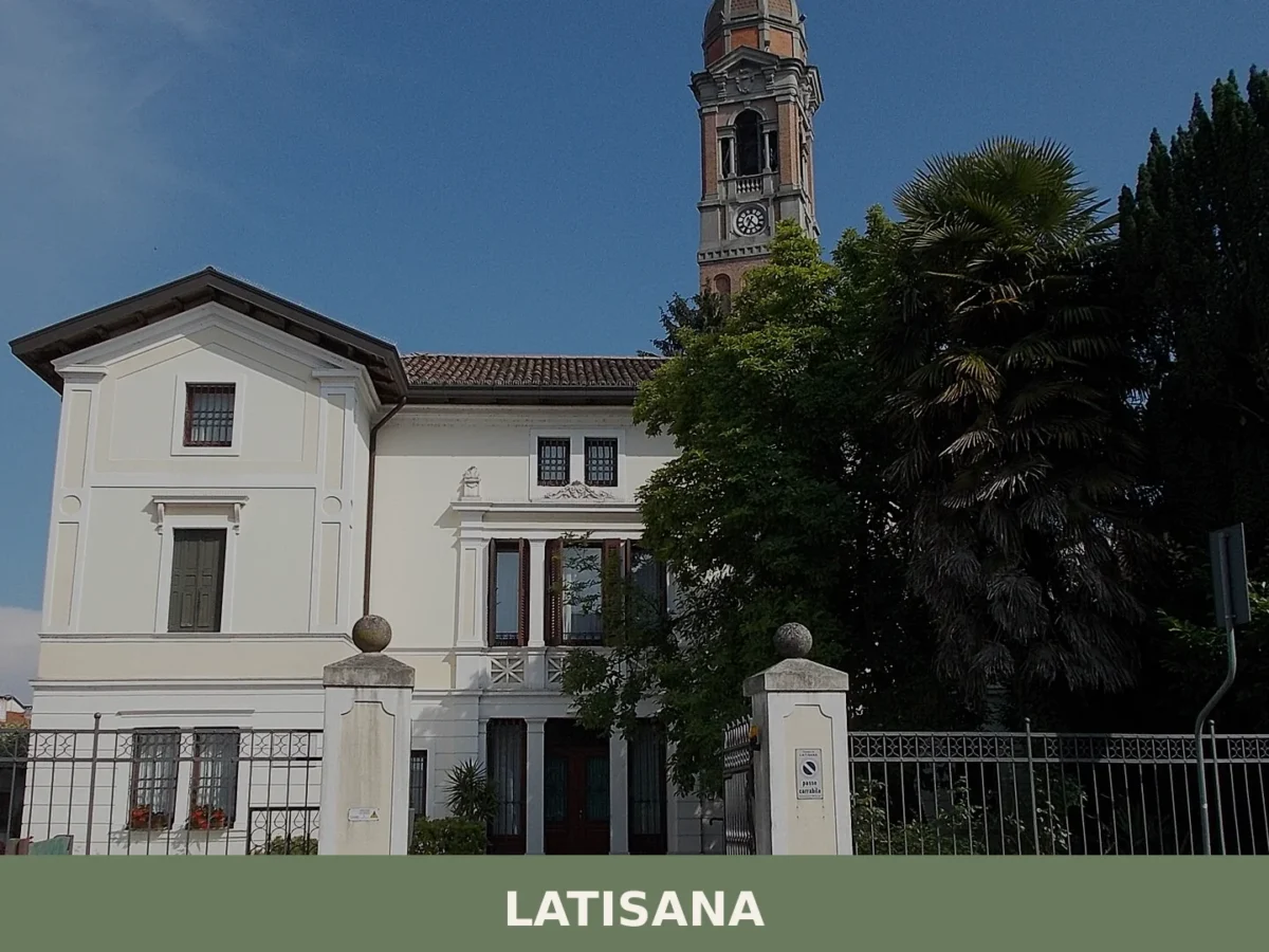
Latisana
Latisana shaped medieval trade along the Tagliamento River for centuries. Visit for its Venetian architecture, ancient port history, and the lagoon at Aprilia Marittima.
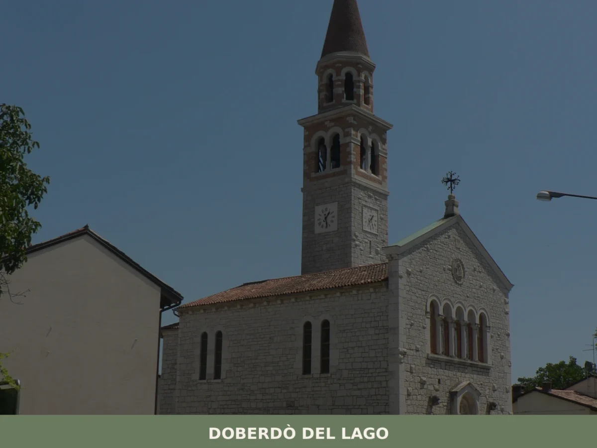
Doberdò del Lago
What to see in Doberdò del Lago, Italy, a village with 1,340 inhabitants. Discover the unique Karst Plateau and explore significant WWI sites. Plan your visit to Friuli-Venezia Giulia.
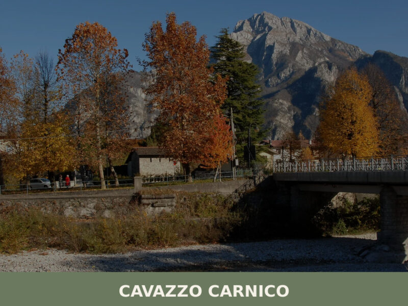
Cavazzo Carnico
Cavazzo Carnico sits beside Friuli Venezia Giulia's largest natural lake, where Romanesque parish churches and Alpine trails converge in Carnia's quiet middle valleys.
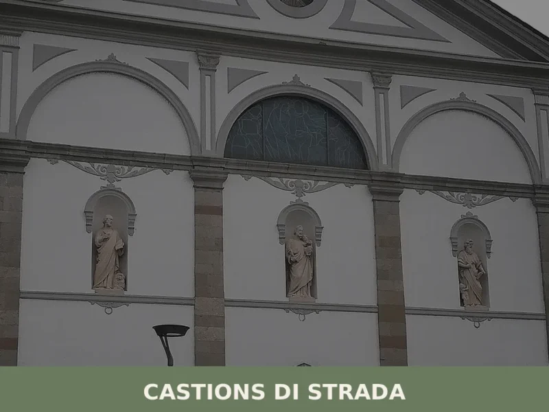
Castions di Strada
A straight road cuts across the Friulian plain at twenty-three metres above sea level, and along that route — the ancient road that connected Aquileia to Concordia Sagittaria — a settlement grew whose very name declares its reason for being. Castions di Strada owes its identity to that Roman road, to a network of drainage […]
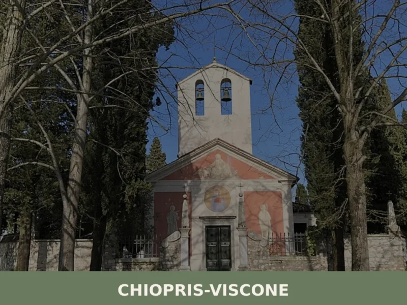
Chiopris-Viscone
Two hamlets, two bell towers, two patron saints — and a single road running through both, the provincial route from Palmanova towards the Slovenian border. Anyone arriving in Chiopris-Viscone for the first time immediately notices this duality: the municipality, created in 1928 through the administrative merger of two distinct settlements, still retains a twin-centre layout, […]
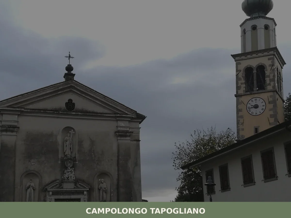
Campolongo Tapogliano
What to see in Campolongo Tapogliano, Friuli-Venezia Giulia, Italy. Explore a comune born in 2009, its twin-town ties with France, local food and how to get there.
Ampezzo
A documentary-style guide to Ampezzo in Carnia, covering its history, key attractions, Carnic cuisine, and how to reach this quiet alpine village in Friuli Venezia Giulia.
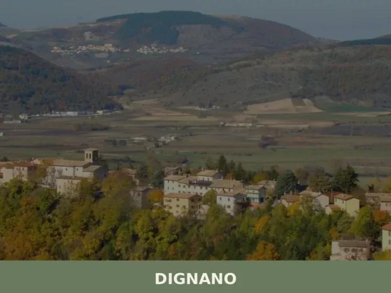
Dignano
In the cadastral register of 1296, the name Dignano appears among the possessions of the Patriarchate of Aquileia, a rural community closely tied to ecclesiastical control and cereal production on the Friulian plain. Today the municipality has approximately 2,380 inhabitants spread across the main centre and several hamlets, in a flat territory northwest of Udine […]
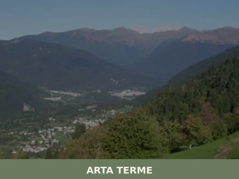
Arta Terme
In 1687, the physician and naturalist Giovanni Battista De Candido published the first treatise on the healing properties of the sulphurous waters flowing from the Fonte Pudia spring in the territory of Arta. That document marked the beginning of a thermal spa tradition that would define the economic identity of this Carnic centre for the […]
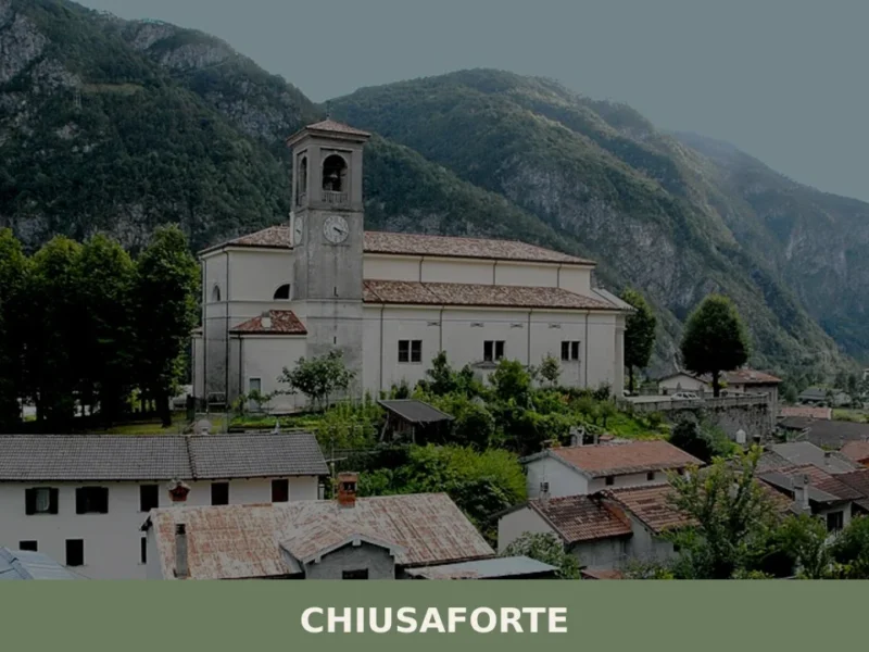
Chiusaforte
Anyone travelling along the A23 motorway towards the Austrian border will notice, quite suddenly, the Fella valley narrowing between sheer rock walls. Right at that point stands Chiusaforte, a settlement of 684 inhabitants at 391 metres above sea level, whose name — from “chiusa forte,” meaning “strong barrier” — declares without ambiguity the military and […]


🏡 Know Bicinicco better than we do?
If you’re a local or have been there, your knowledge matters: add what’s missing or fix a detail on this page.