


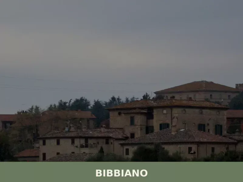
Campagnola Emilia
What to see in Campagnola Emilia, Italy: explore a Po Plain comune at 22 m altitude, 25 km from Reggio Emilia. Discover local festivals and food. Read the guide.
Discover Campagnola Emilia
The Po Plain stretches flat and wide across this corner of Emilia-Romagna, and at 22 metres (72 feet) above sea level, Campagnola Emilia sits squarely within it — no ridge, no hill, no natural elevation to interrupt the geometry of fields and irrigation canals that define the landscape.
The municipality borders Correggio, Novellara, Fabbrico, Reggiolo, and Rio Saliceto, placing it at the centre of a dense network of small towns that have shaped the agricultural and civic life of the Province of Reggio Emilia for centuries.
The flat horizon here is not emptiness — it is the product of organised land use going back to Roman centuriation.
Knowing what to see in Campagnola Emilia means understanding its context first: a comune (municipality) of 5,599 inhabitants, located about 25 kilometres (16 mi) northeast of Reggio Emilia and approximately 60 kilometres (37 mi) northwest of Bologna.
Visitors to Campagnola Emilia find a compact town with a parish church dedicated to its patron saints, a civic centre that reflects decades of cooperative tradition, and a calendar anchored to the feast of Santi Gervasio e Protasio on 19 June.
The Campagnola Emilia highlights extend into the surrounding countryside, where the flatlands of the Bassa Reggiana — the lower Po Plain of Reggio Emilia province — offer a readable agricultural landscape distinct from the Apennine foothills to the south.
History of Campagnola Emilia
The name Campagnola derives directly from the Latin campania, meaning open field or plain, with the diminutive suffix giving it the sense of a small, cultivated expanse. The qualifier “Emilia” was added in the twentieth century to distinguish the town from other Italian municipalities sharing the same root name — a common practice formalised under the administrative reorganisations of unified Italy.
The local Reggiano dialect form, Campagnôla, preserves the original phonology of the area and is still used in everyday speech by older residents of the province.
The territory of Campagnola Emilia has been shaped by the hydraulic history of the Po basin.
The reclamation of the low-lying land around the Bassa Reggiana proceeded gradually from the medieval period onward, with monastic communities and later the Este dukes of Ferrara overseeing the construction of drainage channels and embankments that made permanent settlement viable.
The bordering municipalities of Novellara and Reggiolo were historically significant fiefs within the Este domain, and Campagnola’s territory sat within the broader sphere of influence of these local lordships.
The land tenure patterns that emerged from this period — large holdings, sharecropping arrangements, and later cooperative farming — defined the social structure of the area well into the twentieth century.
The cooperative movement took firm root in this part of Emilia-Romagna from the late nineteenth century onward, and Campagnola Emilia, like many municipalities in the Province of Reggio Emilia, developed civic institutions built around collective economic organisation. Agricultural cooperatives, mutual aid societies, and later consumer cooperatives gave the town a social fabric oriented toward collective governance that distinguishes the entire region on the national level.
This history is not abstract: it is visible in the architecture of the town centre, in the layout of its public spaces, and in the continued presence of cooperative enterprises in the local economy.
The Municipality of Campagnola Emilia today administers a territory that reflects this layered history of hydraulic engineering, feudal land management, and cooperative social organisation.
What to see in Campagnola Emilia, Emilia-Romagna: top attractions
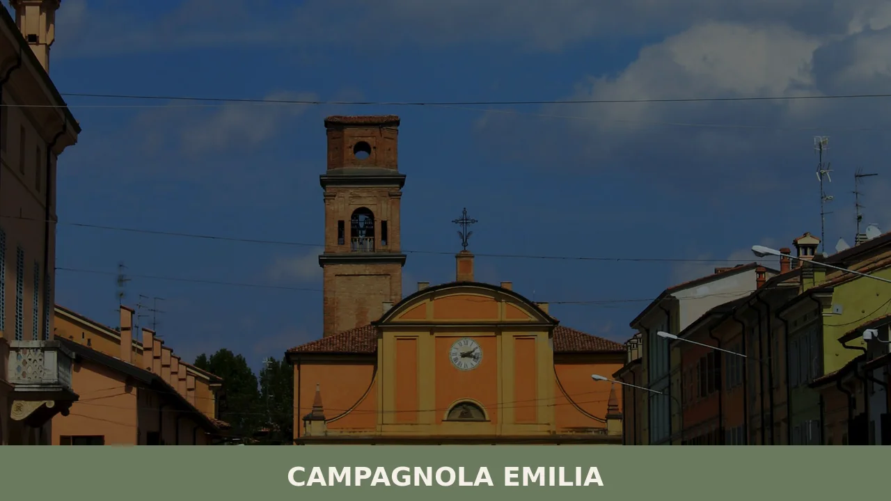
Parish Church of Santi Gervasio e Protasio
The parish church dedicated to Campagnola Emilia’s patron saints, Gervasio and Protasio, stands at the civic heart of the town and serves as the architectural focal point of the central square.
The church’s dedication to these two early Christian martyrs — whose feast falls on 19 June — connects the community to a calendar of devotion that predates the medieval reorganisation of the diocese. Inside, the nave layout follows the Emilian parish typology common across the Po Plain, with side altars and votive elements accumulated over several centuries of continuous liturgical use.
Visiting on or around 19 June allows you to observe the church in its full ceremonial context, when the building becomes the departure point for the patron saint procession through the town streets.
The Historic Town Centre and Cooperative Architecture
Walking the central streets of Campagnola Emilia, the built environment reflects the cooperative tradition that restructured town life from the late 1800s onward.
Buildings associated with agricultural cooperatives, civic halls, and mutual aid institutions occupy the town core and follow the functional brick architecture typical of the Bassa Reggiana.
The use of local fired brick — the dominant building material across the Po Plain, where neither stone quarries nor timber forests were easily accessible — gives the facades a consistent ochre-red tonality that distinguishes this flat-country urbanism from the tufa and limestone constructions of the Apennine foothills.
Budget at least ninety minutes to walk the central area and observe the relationship between public buildings and the open spaces they frame.
The Agricultural Landscape of the Bassa Reggiana
At 22 metres (72 ft) above sea level, Campagnola Emilia offers no elevated viewpoint over its territory — instead, the landscape itself becomes the attraction.
The surrounding plain, reclaimed over centuries through drainage and embankment works, presents a geometry of irrigation channels, poplar rows, and cultivated fields that extends unbroken toward the Po river to the north.
The grid pattern of fields in this zone traces back to Roman centuriation, the systematic land division imposed by Roman surveyors on conquered territories, segments of which remain legible in the orientation of rural roads and field boundaries.
Cycling along the minor roads that radiate from the town centre gives the clearest reading of this agricultural organisation; the terrain is entirely flat, making it accessible regardless of fitness level.
Bordering Municipal Territories and the Novellara Corridor
Campagnola Emilia’s position at the junction of five municipalities makes it a practical base for reading the urban sequence of the Bassa Reggiana.
The neighbouring town of Novellara, a former Este fief, lies within a few kilometres and holds the Rocca dei Gonzaga, a fifteenth-century fortress that provides the most substantial historical monument in the immediate area.
Correggio, another bordering municipality, is the birthplace of the Renaissance painter Antonio Allegri — known as Correggio — whose work in the Duomo and churches of his native town ranks among the most significant fresco cycles of sixteenth-century northern Italy.
Understanding what to see in Campagnola Emilia benefits from reading it alongside these neighbouring centres, which supply the monumental architecture that the flat-country town itself does not possess.
The Canal and Waterway System
The network of drainage and irrigation canals that crosses the municipal territory of Campagnola Emilia is the most direct physical evidence of the centuries-long hydraulic reclamation of the Po Plain.
These channels — some dating to medieval engineering works, others reorganised during twentieth-century land consolidation — regulate water flow across a territory that would otherwise be subject to seasonal flooding from both the Po and its tributaries.
Several of the main drainage ditches run parallel to rural roads and are accessible on foot or by bicycle, offering a close reading of the engineering logic that made continuous settlement possible at this low altitude.
Spring, when water levels are high and the surrounding fields are freshly planted, gives the clearest sense of the hydraulic system’s function and scale.
Local food and typical products of Campagnola Emilia
The food culture of Campagnola Emilia is rooted in the agricultural economy of the Po Plain and shares its fundamental references with the broader gastronomic tradition of the Province of Reggio Emilia.
This is a territory historically oriented toward cattle farming, cereal cultivation, and pig husbandry — the three pillars that underpin Emilian cooking across the entire region. The cooperative dairies that process milk from the local cattle farms feed into the production chains of the province’s most recognised products, and the flat landscape, with its abundance of fodder crops, has sustained a pastoral economy for at least a thousand years.
At the table, the cooking of the Bassa Reggiana follows the egg-pasta tradition that defines Emilia-Romagna as a whole.
Tortelli d’erbette — pasta parcels filled with ricotta and Swiss chard, seasoned with butter and Parmigiano-Reggiano — appear on tables across the province and represent the most distinctly local format.
Erbazzone, a flat savoury pie made with Swiss chard or spinach, lard, and Parmigiano enclosed in a thin pastry crust, originated in the Reggio Emilia area and is found throughout the province’s towns, including Campagnola.
Tagliatelle al ragù, made with hand-rolled egg pasta cut to a width that Reggiano cooks maintain with precision, is the Sunday dish that organises the week. Pork curing traditions are equally present: salame di Reggio and coppa prepared in local norcinerie (pork butcheries) follow recipes adjusted to the specific microclimate of the lower plain.
The dominant certified product across this territory is Parmigiano-Reggiano (PDO), the hard cow’s milk cheese produced under strict denomination rules in a zone that includes the Province of Reggio Emilia in its entirety.
The milk used for Parmigiano-Reggiano must come from cows fed within the production zone, and the wheels — each weighing approximately 40 kg (88 lb) — are aged for a minimum of 12 months, with premium grades reaching 24 and 36 months.
The cheese develops a granular, crystalline texture with ageing, and its flavour shifts from milky and mild at 12 months to concentrated, savoury, and faintly mineral at 36.
Cooperative dairies in and around Campagnola Emilia participate in this production chain, and visiting a local dairy during morning production hours — typically between 5:00 and 9:00 — gives a direct view of the process.
Lambrusco Reggiano (DOC), the lightly sparkling red wine produced across the Province of Reggio Emilia, accompanies these dishes in local tradition; its low alcohol and slight effervescence cut through the fat of cured meats and egg pasta.
Markets and local food events in the Bassa Reggiana concentrate in autumn, when the agricultural cycle concludes and cooperative wineries and dairies open for tastings and direct sales. The period between October and November is when aged Parmigiano-Reggiano wheels from the previous year’s production are evaluated and graded, making it a practical time to buy directly from the producing dairies at verified quality levels.
The June patron saint festival also incorporates food stands serving local specialities, providing a seasonal opportunity to sample the town’s culinary tradition in a public setting.
Festivals, events and traditions of Campagnola Emilia
The central annual event in Campagnola Emilia is the feast of Santi Gervasio e Protasio, held on 19 June.
These two martyrs — venerated since the early Christian period and rediscovered in Milan by Saint Ambrose in 386 CE — were adopted as patron saints by a number of Po Plain parishes, and their feast on 19 June structures the religious and civic calendar of the town.
The celebration traditionally includes a solemn Mass in the parish church, a procession through the central streets, and an outdoor programme that extends into the evening with food stands, musical performances, and community gatherings in the main square. June in the Po Plain brings long daylight hours and warm temperatures, conditions that favour outdoor events and allow the procession and the evening programme to unfold without the weather constraints of earlier spring months.
Beyond the patron saint feast, the cooperative tradition of the Bassa Reggiana generates a calendar of local food and civic events tied to the agricultural cycle.
Harvest periods in late summer and autumn bring informal markets and cooperative open-days to towns across the Province of Reggio Emilia, and Campagnola Emilia participates in this broader seasonal rhythm.
The sagra format — a traditional local food festival organised around a single ingredient or dish — appears in the surrounding municipalities throughout summer and early autumn, with neighbouring towns hosting events centred on products such as erbazzone, tortelli, or local salumi. These events are announced through the municipal website and local Reggiano press in the weeks preceding each edition.
When to visit Campagnola Emilia, Italy and how to get there
The best time to visit Campagnola Emilia depends on what you prioritise.
For the patron saint festival and outdoor events, the second half of June offers the most concentrated local programme, with long evenings and stable weather.
Spring — April through May — brings the agricultural landscape to its most visually readable state, with irrigation channels full and fields in active cultivation, making it the recommended period for cycling and outdoor exploration of the territory.
Autumn, from late September through November, is the season for food tourism: Parmigiano-Reggiano dairies evaluate and sell their aged wheels, cooperative wineries release new Lambrusco, and the surrounding countryside takes on the colours of the post-harvest plain. Summer heat in the Po Valley can be intense, with July and August regularly reaching 35°C (95°F) and high humidity, making midday outdoor activity uncomfortable.
Campagnola Emilia sits approximately 25 kilometres (16 mi) northeast of Reggio Emilia and 60 kilometres (37 mi) northwest of Bologna, making it accessible as a day trip from either city. By car, the most direct route from Reggio Emilia follows the SP63 and SP3 provincial roads northeast through Correggio, covering the distance in roughly 30 minutes.
From Bologna, the A1 motorway connects to the A22 at Modena Nord, and from there regional roads lead northwest toward Reggio Emilia and onward to Campagnola, with total driving time around 60 to 70 minutes.
The nearest train station with regular regional services is Reggio Emilia, served by Trenitalia on the Milan–Bologna main line; from Reggio Emilia station, onward travel to Campagnola requires a bus connection or taxi, as no direct rail service reaches the town.
The nearest airport with international connections is Bologna Guglielmo Marconi Airport, located approximately 65 kilometres (40 mi) southeast, with a transfer time to Campagnola of around 60 to 75 minutes by car.
International visitors should note that English is spoken in a limited capacity in smaller shops and local businesses; carrying a supply of euro cash is practical, as card payment terminals are not universal in smaller establishments and market vendors.
Travellers extending their itinerary beyond Campagnola Emilia can combine the visit with a stop at Villanova sull’Arda, another Po Plain community in Emilia-Romagna that shares the same agricultural and cooperative historical context, or explore the Piacentine Apennines through villages such as San Giorgio Piacentino, which marks the transition from the flat valley floor to the first foothills of the province of Piacenza.
For those interested in the mountain territory further south, Ferriere and Coli represent the higher Apennine landscape of Emilia-Romagna, offering a direct contrast to the flat-country environment of what to see in Campagnola Emilia — two distinct geographic worlds within the same region, reachable within ninety minutes of each other.
Frequently asked questions about Campagnola Emilia
What is the best time to visit Campagnola Emilia?
The most rewarding time to visit Campagnola Emilia is late spring, particularly around 19 June, when the town celebrates its patron saints Santi Gervasio e Protasio with a traditional procession departing from the parish church. The surrounding agricultural landscape is at its most vibrant in May and June, with irrigation channels full and fields freshly planted. Spring also offers the clearest reading of the hydraulic canal system. Avoid the height of summer for outdoor cycling, as the Po Plain can be intensely hot and humid; September is a good alternative, with harvest activity adding texture to the rural scenery.
What are the historical origins of Campagnola Emilia?
The name Campagnola derives from the Latin campania, meaning open plain, with a diminutive suffix indicating a small cultivated expanse. The suffix 'Emilia' was added in the twentieth century to distinguish it from other Italian towns sharing the same root. The territory was shaped by centuries of hydraulic reclamation overseen first by medieval monastic communities, then by the Este dukes of Ferrara. From the late nineteenth century, the cooperative movement transformed the town's social fabric, producing civic buildings, mutual aid societies, and agricultural cooperatives that remain visible in the town centre today.
What to see in Campagnola Emilia? Main monuments and landmarks
The central landmark is the Parish Church of Santi Gervasio e Protasio, the architectural focal point of the town square, with side altars and votive elements accumulated over several centuries. The town centre also features cooperative-era brick buildings — civic halls and mutual aid institutions — typical of the Bassa Reggiana's functional ochre-red architecture. For broader context, the neighbouring town of Novellara holds the Rocca dei Gonzaga, a fifteenth-century fortress a few kilometres away, while Correggio preserves Renaissance frescoes by the painter Antonio Allegri. Entry to the church is generally free.
What are the main natural or scenic attractions of Campagnola Emilia?
The primary natural attraction is the agricultural landscape of the Bassa Reggiana itself — a flat, geometric plain reclaimed over centuries through drainage engineering. The network of irrigation and drainage canals crossing the municipal territory is directly accessible on foot or by bicycle along rural roads. Several field boundaries and road alignments in this zone trace back to Roman centuriation, the systematic land grid imposed by Roman surveyors. Spring offers the most evocative conditions, with high water levels in the channels and freshly planted fields extending unbroken toward the Po river to the north.
What can you do in Campagnola Emilia? Activities and experiences
Cycling is the most practical and rewarding activity in Campagnola Emilia: the entirely flat terrain makes it accessible at any fitness level, and minor rural roads radiate from the town centre through a landscape of canals, poplar rows, and cultivated fields. The area is well suited to food and wine itineraries centred on Parmigiano-Reggiano dairy farms, local norcinerie producing salame and coppa, and trattorias serving tortelli d'erbette and erbazzone. Visiting on 19 June adds the patron saint procession and festivities around the parish church to the experience.
Who is Campagnola Emilia suitable for? Families, couples, hikers, solo travelers?
Campagnola Emilia suits travellers with a genuine interest in Po Plain rural culture, cooperative history, and Emilian food traditions. The entirely flat terrain makes it ideal for families with young children and cyclists of all abilities. Food and wine enthusiasts will find strong connections to Parmigiano-Reggiano production, egg-pasta cooking, and pork curing traditions. It is less suited to hikers seeking elevation or visitors looking for monumental medieval or Renaissance architecture — those interests are better served by neighbouring Novellara and Correggio, both easily reachable from Campagnola as day excursions.
What to eat in Campagnola Emilia? Local products and specialties
The local table is anchored by Parmigiano-Reggiano PDO, produced from milk of cows farmed within the Province of Reggio Emilia. Key pasta dishes include tortelli d'erbette — ricotta and Swiss chard parcels dressed with butter and Parmigiano — and tagliatelle al ragù made with hand-rolled egg pasta. Erbazzone, a savoury flat pie of Swiss chard, lard, and Parmigiano in thin pastry, is a Reggio Emilia original found throughout the province. Pork curing traditions produce local salame di Reggio and coppa, prepared in norcinerie following recipes adapted to the microclimate of the lower plain.
Nearby Villages near Campagnola Emilia
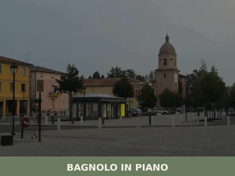
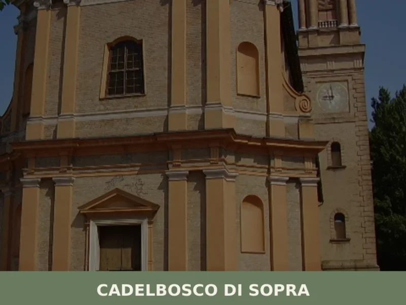
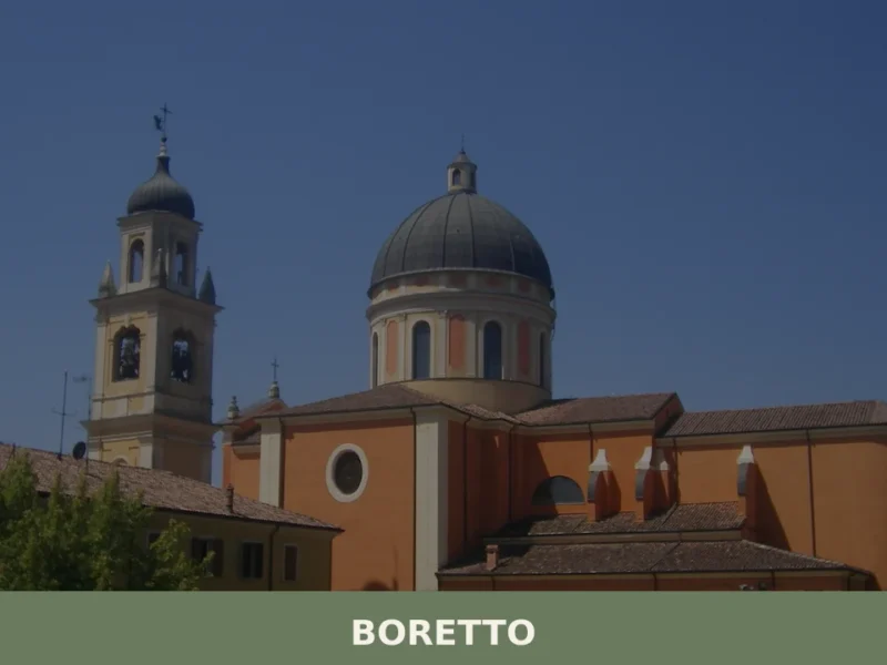
In Emilia-Romagna More villages to discover
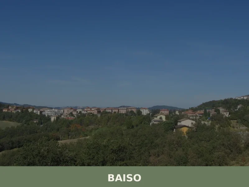
Baiso
The ridge road into Baiso levels out at 542 m (1,778 ft) above the Po Plain and delivers a view across the Apennine foothills that is measurable rather than vague: the valley floors of the Secchia drainage basin lie several hundred metres below, and the profiles of Carpineti and Castellarano mark the horizon to the […]
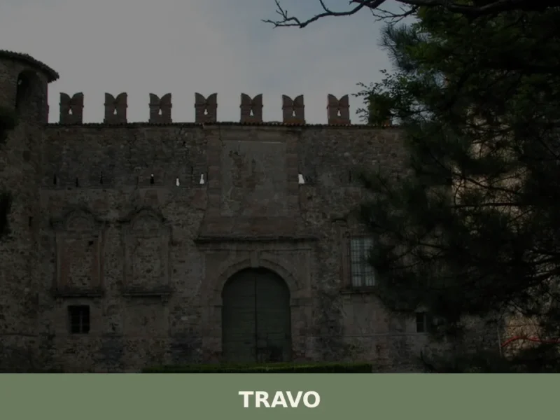
Travo
At 171 metres above sea level, in the lower Val Trebbia, Travo is one of those centres in the province of Piacenza where the historical layers of the past surface in visible, tangible ways: from pre-Roman foundations to the medieval domains of the Malaspina and Landi families, with traces of the Matildine Middle Ages in […]
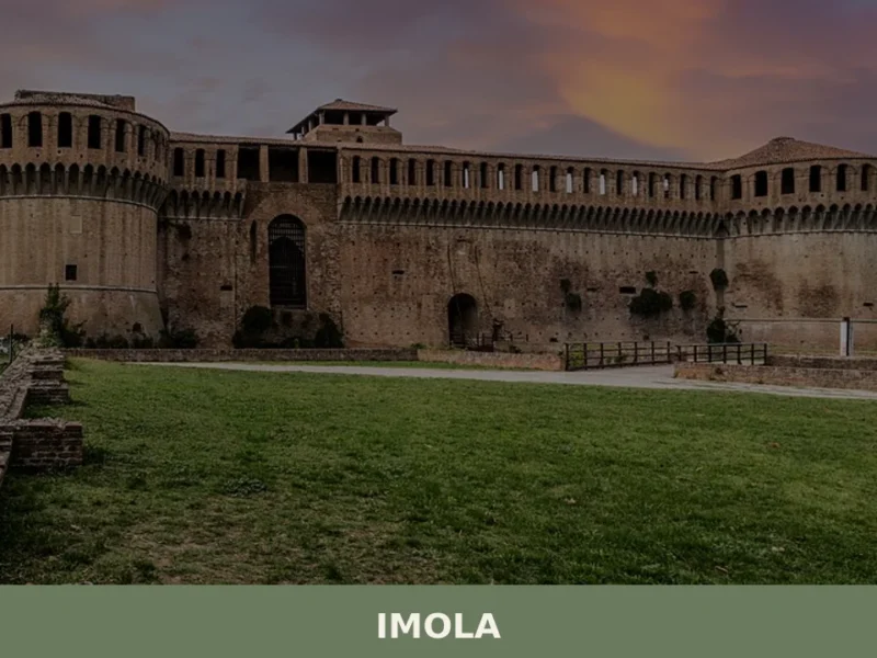
Imola
In 1953, on the track of the Autodromo Enzo e Dino Ferrari, Formula One cars raced in the Italian Grand Prix, placing Imola firmly in international motorsport history. But this city of 69,121 inhabitants, spread out at 47 metres above sea level along the banks of the River Santerno, had already existed for two thousand […]
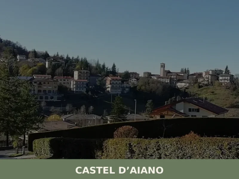
Castel d’Aiano
In 1944 the Gothic Line cut through these mountains, and Castel d’Aiano found itself at the centre of the clash between Allied forces and German troops: the hamlets of Villa d’Aiano, Sassomolare and Rocca di Roffeno still bear the marks of that period. Today the municipality has 1,916 inhabitants spread across a vast, hilly territory […]
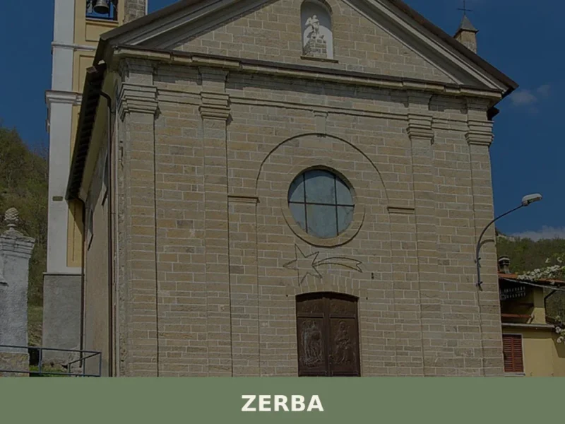
Zerba
With just 71 registered inhabitants, Zerba is the least populated municipality in the entire province of Piacenza and one of the smallest in Italy. Situated at 906 metres above sea level in the upper Val Boreca, on the border between Emilia-Romagna and Liguria, this mountain settlement retains a sandstone building fabric that follows precise construction […]
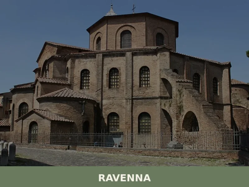
Ravenna
With a population of 155,751 inhabitants and located just 4 m above sea level, Ravenna stands out as one of Emilia-Romagna’s most significant centers, a historical crossroads that has shaped the region’s identity. In this article History and origins of Ravenna What to see in Ravenna: main attractions Typical cuisine and products of Ravenna Festivals, […]
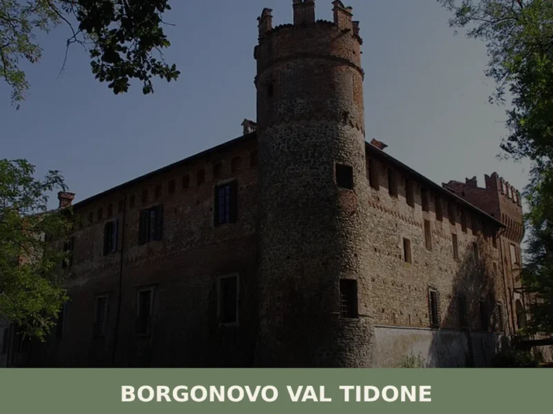
Borgonovo Val Tidone
What to see in Borgonovo Val Tidone: 7,774 residents, a medieval castle, the Santa Maria Assunta church and Piacenza cuisine. Plan your visit with this complete guide.
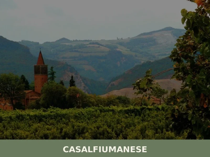
Casalfiumanese
About twenty kilometres from Imola, along the valley of the Sillaro stream, the municipal territory of Casalfiumanese stretches between the lower plain and the first hills of the Bolognese Apennines, covering an elevation range from 50 to nearly 500 metres above sea level. The main town, sitting at 125 metres above sea level, has approximately […]
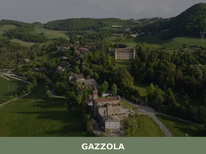
Gazzola
What to see in Gazzola, a Piacenza hill village at 146 m with 2,050 residents. Explore Rivalta Castle, the Luretta valley and Colli Piacentini DOC wines. Plan your visit.
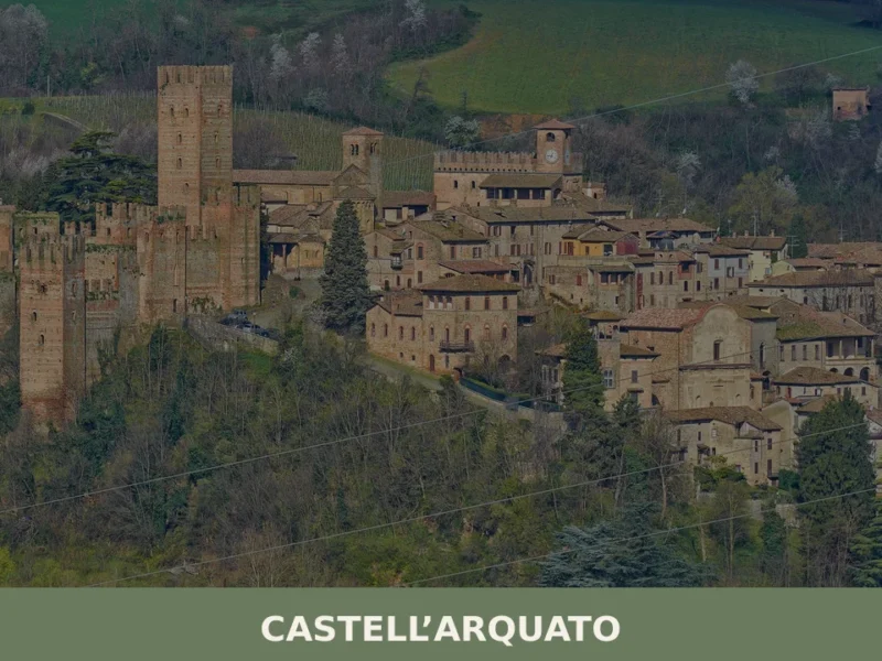
Castell’Arquato
In the upper Val d’Arda valley, at around 150 metres above sea level, Castell’Arquato is one of the best-preserved medieval villages in the province of Piacenza. In this article History and Origins of Castell'Arquato What to See in Castell'Arquato: Main Attractions Local Cuisine and Products of Castell'Arquato Festivals, Events and Traditions of Castell'Arquato When to […]


🏡 Know Campagnola Emilia better than we do?
If you’re a local or have been there, your knowledge matters: add what’s missing or fix a detail on this page.