


Carbognano
What to see in Carbognano, Italy: a hilltop village at 394 m, 50 km from Rome. Explore its churches, local food, and festivals. Discover Viterbo province.
Discover Carbognano
The road into Carbognano levels out near the edge of the plateau, and the first thing a driver registers is not a skyline but a silence — the kind that comes from volcanic hill country where the land absorbs sound.
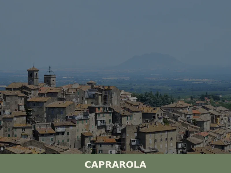
The municipality covers 17.2 square kilometres (6.6 sq mi) of the Cimini uplands in northern Lazio, and its borders touch four other communes: Caprarola to the southeast, Fabrica di Roma to the north, Nepi to the east, and Vallerano to the northwest.
Around 2,007 people live here, a figure that has changed little across recent decades.
Deciding what to see in Carbognano is easier once you understand the village’s position: it stands at 394 m (1,292 ft) above sea level, roughly 50 km (31 mi) northwest of Rome and 15 km (9 mi) southeast of Viterbo, placing it squarely inside one of Lazio’s most historically layered zones.
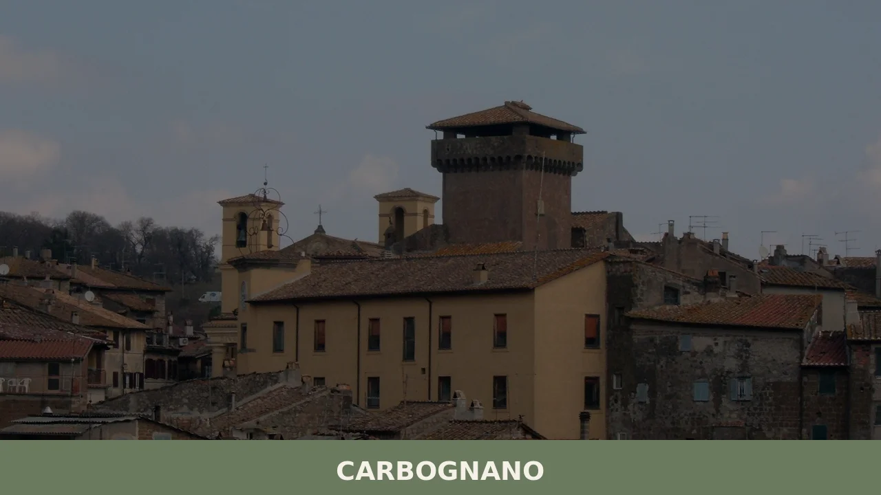
Visitors to Carbognano find a compact hilltop settlement with a religious centre built around the cult of San Filippo Neri, a medieval street pattern, and direct access to the volcanic landscape of the Cimini Hills.
The local calendar, the food traditions of the Viterbo uplands, and the proximity to several other notable villages all contribute to what makes a day here productive.
History of Carbognano
The settlement’s origins belong to the pre-medieval layer of central Italy, a period when volcanic ridges in the Cimini range offered natural defensive positions and fresh water from crater lakes.
The territory around present-day Carbognano was part of the broad Etruscan sphere that extended across what is now northern Lazio, and traces of that occupation survive in the rural landscape rather than in any surviving urban fabric.
By the early medieval period, control of the area passed through a succession of feudal powers whose influence across the Province of Viterbo was exercised through a network of fortified hilltop settlements, of which Carbognano was one.
During the late medieval and Renaissance periods, the village came under the dominion of powerful Roman noble families whose territorial reach extended well into the Viterbo hinterland.
This form of feudal control shaped the built environment: the construction of religious buildings, the reinforcement of defensive walls, and the establishment of an administrative structure centred on the main square all date from this phase.
The neighbouring village of Caprarola, which borders Carbognano to the southeast, followed a parallel trajectory under Farnese patronage, and the two communities shared the same zone of political and ecclesiastical influence throughout the sixteenth and seventeenth centuries.
In the modern era, Carbognano became a formal comune within the administrative structure of unified Italy, assigned to the Province of Viterbo within the region of Lazio.
Population figures recorded at the end of 2004 showed 1,992 residents, a number that has since risen modestly to the current 2,007.
The village today administers an area of 17.2 square kilometres (6.6 sq mi) and maintains its municipal offices through the official website of the Comune di Carbognano.
The continuity of the settlement across these different political phases is visible in the layered architecture of the historic centre, where religious and civic buildings from different centuries stand in close proximity.
What to see in Carbognano, Lazio: top attractions
The historic centre and medieval street layout
The upper section of Carbognano retains a street pattern that follows the ridge of the volcanic plateau rather than any later planning grid.
Stone lanes no wider than two metres run between buildings whose foundations date back several centuries, and the material used throughout is the local volcanic stone, dark and dense, that characterises construction across the Cimini area.
Standing at 394 m (1,292 ft), the settlement offers clear sightlines across the surrounding agricultural land.
Visitors who arrive on foot from the lower parking areas will notice how the incline steepens as they approach the oldest nucleus, where the original defensive logic of the layout becomes apparent.
Church of San Filippo Neri
The religious life of Carbognano is organised around the cult of San Filippo Neri, the patron saint whose feast falls on 26 May each year. The church dedicated to him forms the focal point of the village’s ceremonial calendar and occupies a central position in the historic fabric. Its facade uses the same dark volcanic stone as the surrounding buildings, integrating it visually into the street rather than marking it out as a monument.
The interior holds devotional objects and furnishings consistent with a Counter-Reformation parish church of the Viterbo area.
The feast day on 26 May brings the largest annual gathering of residents and returning emigrants to this site.
Panoramic viewpoints over the Cimini Hills
Several points along the outer edge of the village’s historic perimeter offer unobstructed views across the volcanic landscape of the Cimini Hills.
The hills reach elevations well above 1,000 m (3,281 ft) in their northern sections, and from Carbognano’s plateau at 394 m (1,292 ft) the ridge profiles of the range are clearly readable.
The view to the northwest, toward Viterbo, covers approximately 15 km (9 mi) of open terrain. Early morning visits in spring and autumn produce the clearest visibility, when low cloud layers sometimes fill the valleys below the plateau while the hilltop itself remains in full sun.
No specific infrastructure is required to reach these viewpoints — they are accessible directly from the main pedestrian lanes.
The municipal territory and rural surrounds
The 17.2 square kilometres (6.6 sq mi) of Carbognano’s municipal area extend well beyond the built-up historic centre into agricultural land and light woodland typical of the volcanic soils of northern Lazio.
The boundary with Fabrica di Roma to the north runs through cultivated terrain, while the border with Nepi to the east crosses a more varied landscape of ravines and scrubland.
Walking routes through this territory connect the village to its surrounding countryside without requiring specialist equipment.
The rural area also borders the municipality of Barbarano Romano, another hill commune in the Viterbo province whose landscape shares the same volcanic geology.
The civic buildings of the main square
The central square of Carbognano functions as the administrative and social core of the village.
The municipal offices are housed in a building that reflects the institutional architecture of post-unification Italy, with a plain facade and functional layout.
Around the square, a small number of bars and local shops operate during morning hours, closing for the long midday break that remains standard in villages of this size across Lazio.
The square is the natural starting point for exploring what to see in Carbognano: distances to the church, the viewpoints, and the outer lanes of the historic centre are all walkable within fifteen minutes from this point.
Local food and typical products of Carbognano
The food culture of Carbognano belongs to the broader gastronomic tradition of the Viterbo uplands, a zone where volcanic soils, lake fisheries, and centuries of peasant agriculture have produced a cooking style built on legumes, pork, foraged greens, and freshwater fish.
The area sits within a triangle formed by Lake Vico to the southwest, Lake Bolsena to the northwest, and the agricultural plain around Nepi to the east, and each of these zones contributes ingredients and techniques to the local table.
The village’s small size means that most food production and consumption remains domestic and seasonal rather than organised for tourism.
Among the dishes most closely associated with this zone of Lazio, acquacotta occupies a central place: a broth-based soup made with stale bread, eggs, wild herbs, and whatever seasonal vegetables were available, originally a cucina povera preparation — the cooking of scarcity — that has remained on local menus because its flavour is direct and the technique is unambiguous.
Fagioli con le cotiche, a slow-cooked preparation of borlotti beans with pork rind, is another fixture of the cold-weather table, made in terracotta pots over wood heat in the traditional domestic version.
Freshwater eel, anguilla, sourced historically from Lake Vico and Lake Bolsena, appears in preparations that involve slow roasting over open fire or simmering in tomato and white wine.
The olive oils and table wines produced in the broader Viterbo province form the everyday backdrop of meals in Carbognano, though the village itself is not the designated origin of any specific certified product documented in available sources.
The Province of Viterbo as a whole includes several DOC and DOP designations, and products sold in local shops and markets will often carry these regional certifications even when produced in neighbouring municipalities.
Visitors looking for certified products should check markets in Viterbo, the provincial capital 15 km (9 mi) to the northwest, where a wider selection of labelled local produce is available year-round.
Seasonal food markets and small-scale sagre — traditional local food festivals — take place across the Viterbo province during late summer and autumn, typically between August and October. These events rotate between villages and are announced locally.
The most practical way to track upcoming events in and around Carbognano is through the municipal website or the provincial tourism listings for Viterbo.
Festivals, events and traditions of Carbognano
The primary public celebration in Carbognano is the feast of San Filippo Neri, held on 26 May each year.
San Filippo Neri, the sixteenth-century Florentine priest canonised in 1622, is a patron saint shared by several communities across central Italy, and his feast in Carbognano follows the standard pattern of Italian parish celebrations: a solemn Mass in the morning, a procession through the streets of the historic centre carrying the saint’s image, and communal gathering in the main square through the afternoon.
The date in late May places the event in one of the most temperate periods of the Lazio calendar, when daytime temperatures in the Cimini Hills typically range between 18°C and 24°C (64°F and 75°F).
Beyond the patron feast, Carbognano participates in the wider cycle of religious and civic events that structure village life in the Province of Viterbo.
The summer months bring outdoor gatherings and informal markets to the village square, and the harvest season in September and October is marked by food-centred events consistent with those documented across the hill-village category to which Carbognano belongs.
These events are organised at the municipal level and their specific dates vary from year to year.
International visitors planning to attend the patron feast or any local market should verify current dates through the before travelling.
When to visit Carbognano, Italy and how to get there
The best time to visit Carbognano, Italy is between late April and early June, and again from September through October.
Spring brings mild temperatures across the Cimini plateau, with the added advantage that the 26 May feast of San Filippo Neri falls within this window, giving a specific calendar anchor for planning.
The summer months of July and August are warm and dry, but the village, like most of the Viterbo interior, sees reduced weekday activity as residents follow the August holiday pattern.
Autumn is useful for those interested in the food culture of the area, since harvest-related events and market activity increase across the province from September onward.
Winter visits are possible but the short daylight hours and intermittent cold winds off the Cimini ridge make the experience less comfortable for walking the outdoor lanes of the historic centre.
For those planning a day trip from Rome, the distance is approximately 50 km (31 mi), making Carbognano reachable in under an hour by car in normal traffic conditions. The most direct route from Rome follows the A1 motorway northward before switching to the SS2 Cassia road, which runs through the Viterbo area.
From Viterbo, the village is 15 km (9 mi) to the southeast along the provincial road network.
If you arrive by car, parking is available at the base of the historic centre, from where the upper village is accessible on foot.
The nearest major railway station is in Viterbo, served by regional trains from Roma Ostiense on the Trenitalia network; from Viterbo, onward travel to Carbognano requires a car or taxi, as no direct bus connection is documented in available sources.
The nearest international airport is Rome Fiumicino (FCO), approximately 90 km (56 mi) to the south, with a travel time of roughly 75 to 90 minutes by car depending on traffic. For international visitors, it is worth noting that English is not widely spoken in smaller shops and bars in the village, and carrying some euro cash is advisable since card payment facilities may not be available at all local businesses.
Visitors using Carbognano as a base for exploring the broader area will find several worthwhile stops within a short drive.
The village of Celleno, another hill commune in the Viterbo province, lies to the northwest and shares the same volcanic geology and medieval street structure as Carbognano.
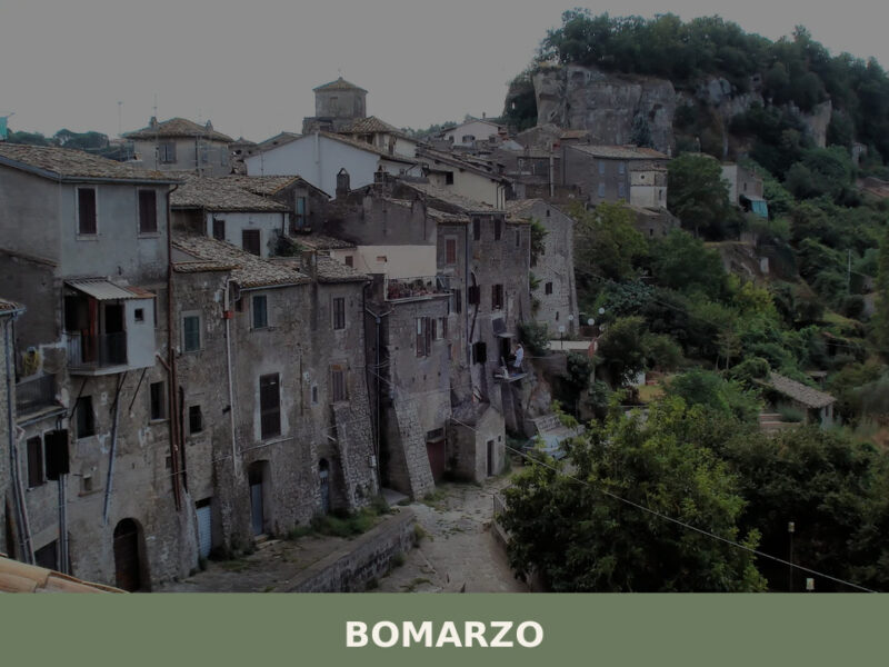
Those interested in Etruscan and medieval heritage sites can extend their trip to Bomarzo, known for its sixteenth-century Parco dei Mostri and its position within the same network of Viterbo-area hill villages.
Frequently asked questions about Carbognano
What is the best time to visit Carbognano?
Spring and early autumn are the ideal seasons. May is particularly rewarding: the village celebrates its patron saint San Filippo Neri on 26 May, the largest annual gathering in Carbognano, when residents and returning emigrants fill the historic centre. Temperatures at 394 m above sea level are mild and comfortable for walking the stone lanes. Early mornings in April, May and October offer the clearest panoramic views over the Cimini Hills, when valley mist fills the lower terrain while the plateau stays in full sun. Summer is warm but never oppressive at this altitude.
What are the historical origins of Carbognano?
Carbognano's roots reach back to the pre-medieval period, when volcanic ridges in the Cimini range provided natural defensive positions. The territory was part of the broader Etruscan sphere of northern Lazio, traces of which survive in the rural landscape. By the early medieval period, the village passed through successive feudal powers operating across the Province of Viterbo. During the Renaissance it came under Roman noble families whose influence shaped the built environment: religious buildings, defensive walls and the civic layout around the main square. It later fell within the same zone of Farnese political and ecclesiastical influence as neighbouring Caprarola.
What to see in Carbognano? Main monuments and landmarks
The three core sites are all walkable from the central square within fifteen minutes. The Church of San Filippo Neri, built in dark volcanic stone, is the religious focal point of the village and houses Counter-Reformation devotional furnishings. The medieval street layout of the upper historic centre, with lanes as narrow as two metres cut through volcanic stone buildings, preserves the original defensive logic of the ridge settlement. The central square itself contains the municipal building and serves as the social hub. No admission fees are required to explore the public spaces and the historic centre.
What are the main natural or scenic attractions of Carbognano?
Carbognano sits on a volcanic plateau at 394 m, surrounded by the Cimini Hills, whose northern ridges exceed 1,000 m. The municipal territory of 17.2 square kilometres extends into agricultural land and light woodland on volcanic soils. To the north, the boundary with Fabrica di Roma crosses cultivated terrain; to the east, the border with Nepi runs through ravines and scrubland. The area lies close to Lake Vico to the southwest, a volcanic crater lake within a nature reserve, which is the most significant natural site within easy reach of the village.
Where to take the best photos in Carbognano?
The outer edge of the historic perimeter offers the most effective viewpoints. Several spots along the village's natural boundary provide unobstructed views across the Cimini Hills, with the ridge profiles of the volcanic range clearly visible to the northwest toward Viterbo, approximately 15 km away. No special infrastructure is needed — these points are reached directly from the main pedestrian lanes. The best light conditions occur on early spring and autumn mornings, when low cloud fills the valleys while the plateau remains clear, creating a layered landscape ideal for photography.
Are there museums, churches or historic buildings to visit in Carbognano?
The principal religious building is the Church of San Filippo Neri, which anchors the village's ceremonial and devotional life. Its facade of dark local volcanic stone integrates naturally into the surrounding street fabric. The interior holds furnishings and devotional objects consistent with a Counter-Reformation parish church of the Viterbo area. The civic architecture around the main square includes the municipal building, representative of post-unification Italian institutional style. No specific opening hours or admission fees are documented in available sources; the church is typically accessible during morning hours and around the feast day of 26 May.
What can you do in Carbognano? Activities and experiences
Walking is the primary activity: the historic centre is compact and fully explorable on foot, and rural paths through the municipal territory connect the village to surrounding agricultural land and woodland without specialist equipment. The feast of San Filippo Neri on 26 May offers a direct experience of local religious and community tradition. The village's position — 15 km from Viterbo and close to Lake Vico — makes it a practical base for combining a visit to Carbognano with the nature reserve at Lake Vico, the Farnese Palace at Caprarola, and the provincial markets of Viterbo.
Who is Carbognano suitable for?
Carbognano suits visitors who prefer authentic, unhurried hill villages over organised tourist circuits. Couples and independent travellers seeking quiet volcanic-landscape scenery and genuine local atmosphere will find the village rewarding. It works well for those combining several Cimini and Viterbo-area destinations in a single itinerary, given its central position between Caprarola, Vallerano, Fabrica di Roma and Nepi. Walkers interested in volcanic terrain and rural paths will appreciate the surrounding countryside. Families with older children who enjoy historic centres and panoramic walks are well catered for; the compact size keeps logistics simple.
What to eat in Carbognano? Local products and specialties
The food tradition belongs to the Viterbo uplands: acquacotta, a broth-based soup of stale bread, eggs and wild herbs rooted in cucina povera, is a regional signature dish. Fagioli con le cotiche — slow-cooked borlotti beans with pork rind, traditionally prepared in terracotta pots — is a cold-weather staple. Freshwater eel from the nearby volcanic lakes, Lake Vico and Lake Bolsena, is prepared roasted or simmered in tomato and white wine. Olive oils and table wines from the broader Province of Viterbo, which holds several DOC and DOP designations, form the everyday table backdrop in Carbognano.
Nearby Villages near Carbognano
In Lazio More villages to discover

Boville Ernica
What to see in Boville Ernica, Lazio, Italy: 18 intact medieval towers, a mosaic attributed to Giotto, and pre-Roman walls. Discover the complete travel guide.
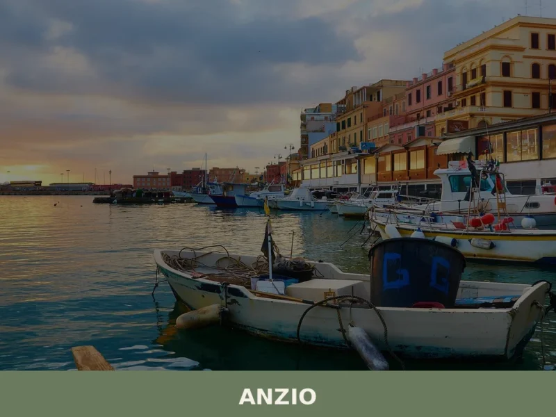
Anzio
What to see in Anzio, Lazio, Italy: from WWII cemeteries to Roman ruins 51 km from Rome. Discover top attractions, local seafood, and how to get there.
Latina
What to see in Latina: discover the 5 top attractions in this Lazio village, from monuments to the historic centre. Plan your visit with this guide.
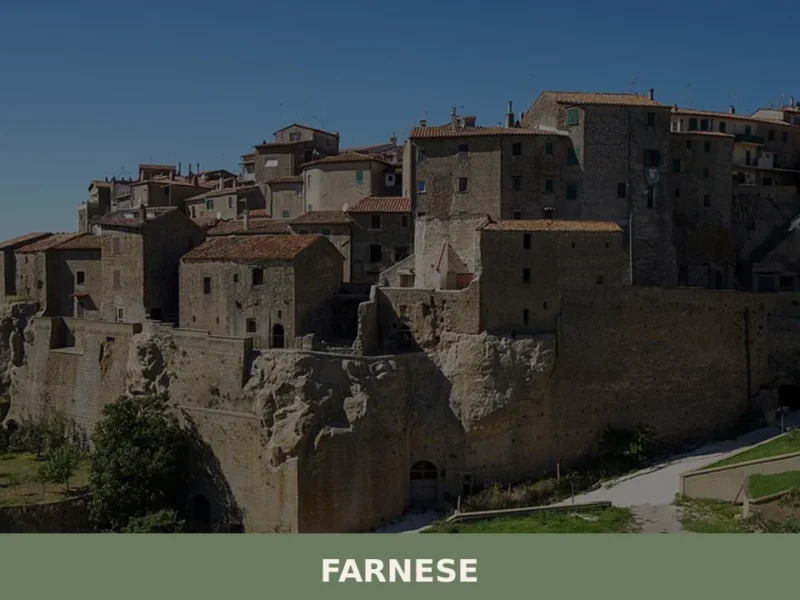
Farnese
The morning light, a pale gold filtering through the narrow aperture of a medieval archway, illuminates the rough-hewn basalt paving stones of Farnese. A faint scent of woodsmoke and damp earth hangs in the cool air, carried on a breeze that rustles the leaves of an ancient oak on the village’s periphery. Here, at 341 […]
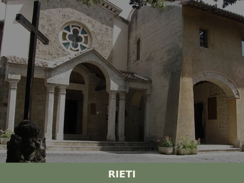
Rieti
What to see in Rieti: from the medieval walls to the Cathedral, discover the top 5 attractions. Complete guide to visiting Rieti in one day.
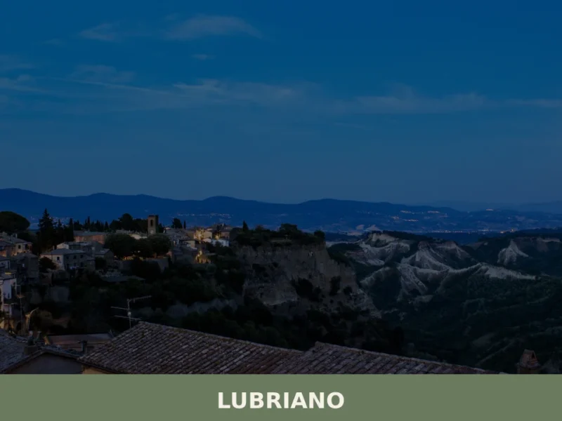
Lubriano
Lubriano has 864 inhabitants and occupies a tuff plateau at 441 metres above sea level, separated from the more famous Civita di Bagnoregio by a calanchi valley nearly two hundred metres deep. The municipal boundary runs along the edge of a gorge that geologists classify as one of the most active in Tuscia for erosion. […]
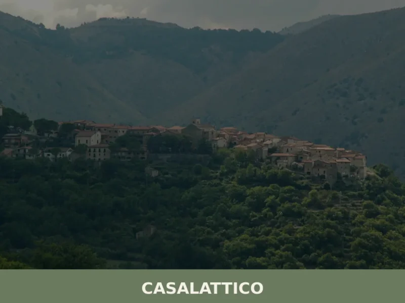
Casalattico
What to see in Casalattico, Lazio, Italy: a village at 420 m with a Norman tower, a Benedictine monastery from 780 AD and an Irish festival. Discover it now.
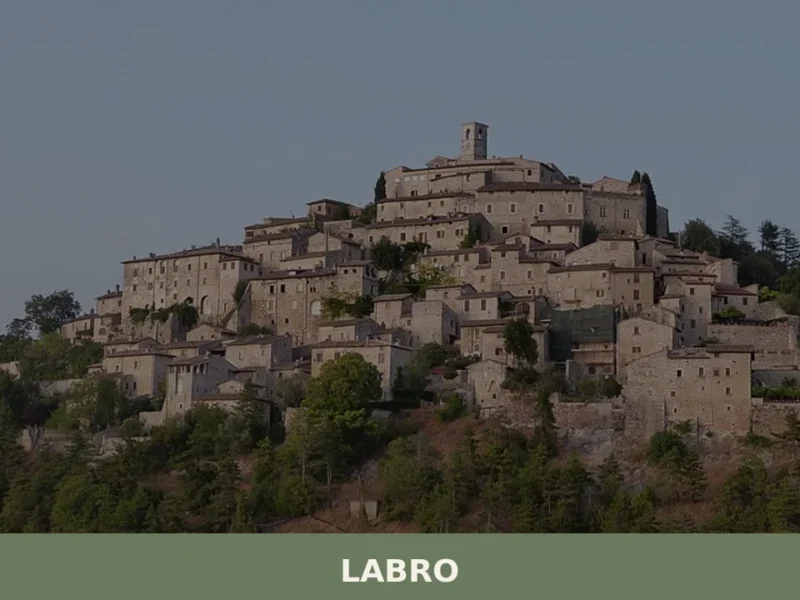
Labro
What to see in Labro: medieval castle, Lake Piediluco views and PAT-certified guanciale in a 360-person village at 628 m. Plan your visit to this Rieti province gem.
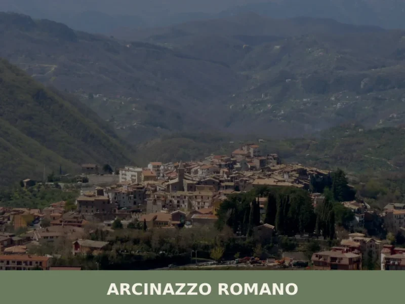
Arcinazzo Romano
What to see in Arcinazzo Romano, Lazio, Italy: explore Trajan's Villa ruins at 831 m altitude, the plateau landscape and local traditions. Discover the complete guide.
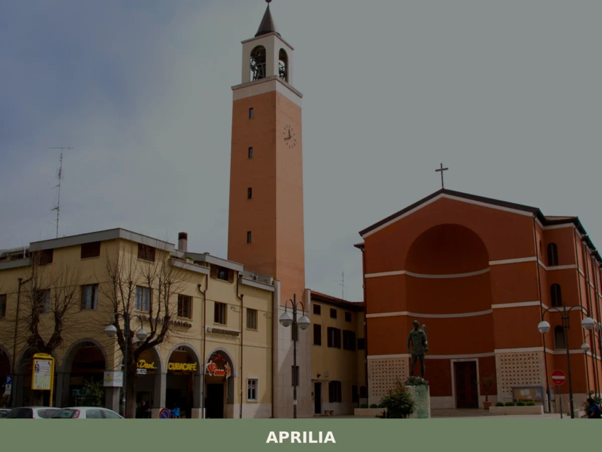
Aprilia
What to see in Aprilia? Explore 5 unique attractions in this Lazio village. Discover its historic origins and hidden gems. Plan your visit now!
🧀 Italian traditional products


🏡 Know Carbognano better than we do?
If you’re a local or have been there, your knowledge matters: add what’s missing or fix a detail on this page.