


Magliolo
What to see in Magliolo, Italy: 947 inhabitants, Ligurian valleys, local food traditions and how to get there. Discover the best of this Savona Province village.
Discover Magliolo
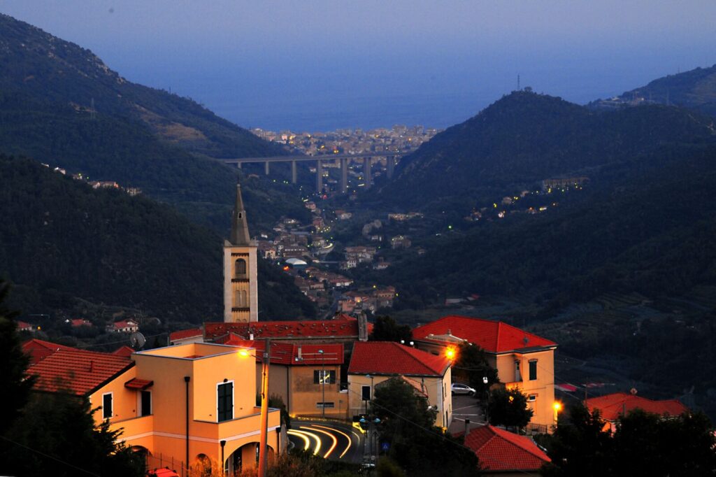
The village of Magliolo sits in the Province of Savona at a point where the inland ridges of the Ligurian Apennines begin to press close together, shaping a tight geography of slopes, woodland, and narrow valley floors. Its Ligurian name, Majeu, is the form still used locally, a linguistic trace that predates the standardised Italian municipal record. The surrounding municipalities — Bardineto, Calizzano, Giustenice, Rialto, and Tovo San Giacomo — form a ring of comuni that share the same upland character, where stone construction follows the contours of the hillside and the road network was laid down to serve agriculture, not tourism.
Deciding what to see in Magliolo means approaching a settlement of 947 inhabitants located about 60 km (37 mi) southwest of Genoa and about 20 km (12 mi) southwest of Savona in the Italian region of Liguria.
Visitors to Magliolo find a compact historic core shaped by the administrative and ecclesiastical structures typical of inland Ligurian comuni, along with access to the landscape shared with its five bordering municipalities. The Magliolo highlights include its position within a network of connected villages, its local food heritage rooted in the Ligurian interior, and the surrounding terrain that distinguishes this part of the Savona province from the better-known coastal strip.
History of Magliolo
The Ligurian name Majeu for Magliolo points to a pre-Italian linguistic layer that characterised the inland territories of the Province of Savona long before modern administrative consolidation. The Ligurian dialect, spoken across the coastal and near-coastal zones of the region, preserves place-name forms that often differ substantially from their Italian equivalents, and Magliolo is a clear example of that pattern. The etymology itself reflects the layered settlement history of the Ligurian interior, where communities formed around defensible ridge positions and adapted their names across successive administrative regimes.
Magliolo’s position bordering five distinct comuni — Bardineto, Calizzano, Giustenice, Rialto, and Tovo San Giacomo — is not incidental.
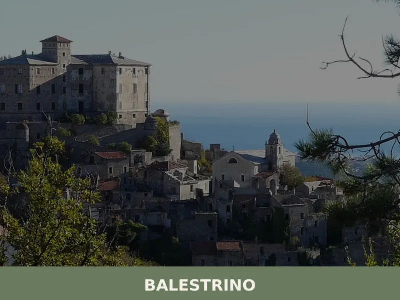
It reflects a historical pattern common to inland Savona, where jurisdictional boundaries were drawn along watershed lines and forest edges rather than along natural passages. The village of Balestrino, located in the same Savona province, shares a comparable administrative history of boundary adjustments and communal reorganisation across the medieval and early modern periods, illustrating how the inland Ligurian comuni evolved in relation to one another rather than in isolation.
By the nineteenth century, the municipality of Magliolo was formally constituted within the administrative framework of unified Italy, taking its place among the smaller comuni of the Province of Savona. Its current population of 947 inhabitants places it among the mid-range villages of the Ligurian interior — larger than some of the most depopulated upland settlements but without the growth that characterised coastal towns after the expansion of tourism infrastructure in the twentieth century.
The demographic profile reflects broader trends across the Ligurian Apennines, where rural depopulation over several decades has left many inland comuni with stable but modest populations sustained by agriculture, forestry, and proximity to larger service centres like Savona.
What to see in Magliolo, Liguria: top attractions
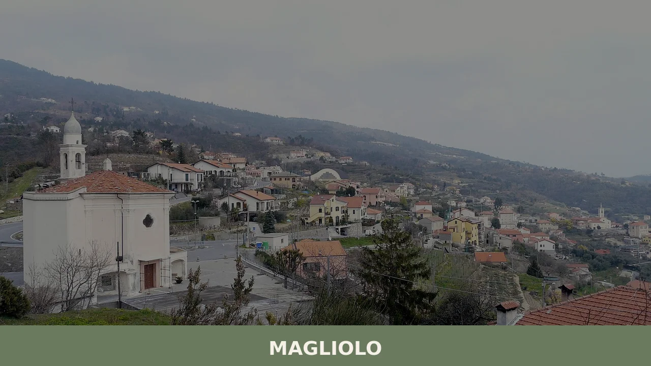
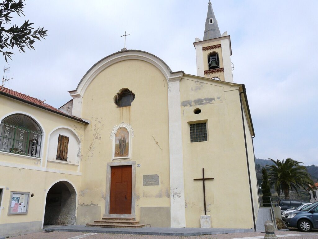
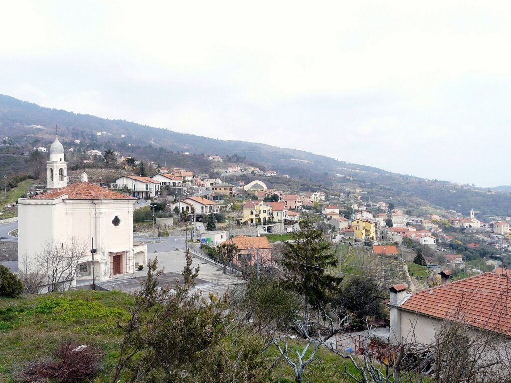
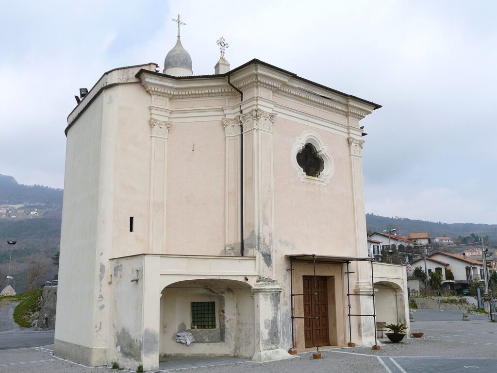
The Historic Village Core
The built fabric of Magliolo’s centre follows the stone construction logic of the inland Ligurian Apennines, with load-bearing walls in local stone and rooflines adapted to the slope of the terrain rather than to any formal urban plan. The settlement pattern, shared with the other comuni along the Savona interior, was developed to maximise defensibility and access to agricultural land within a compact footprint. Visitors standing in the central area can read the layering of different construction periods in the varying wall textures and window proportions. The best time to observe the architectural fabric is in morning light, when the stone surfaces are most legible and foot traffic minimal.
The Surrounding Municipal Boundaries and Landscape
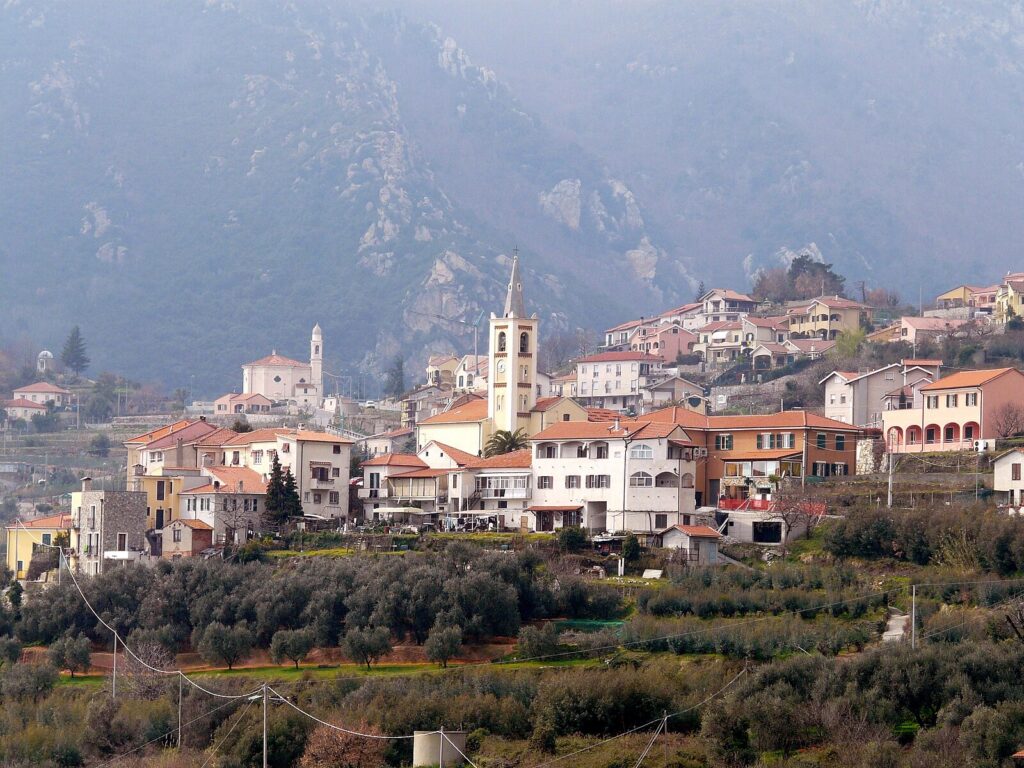
Magliolo borders five municipalities — Bardineto, Calizzano, Giustenice, Rialto, and Tovo San Giacomo — and the territory covered by these boundaries spans a cross-section of the inland Ligurian landscape that includes wooded ridges, valley floors, and the upper drainage systems that feed toward the Ligurian coast. The perimeter of Magliolo’s communal territory, as defined by its municipal borders, offers walkers and cyclists a legible framework for understanding the scale of this part of the Savona province. Trails connecting the bordering comuni pass through vegetation zones that shift from Mediterranean scrub at lower altitudes to chestnut and beech woodland higher up.
Visiting in late spring, when the chestnut canopy is fully out, gives the most complete picture of the terrain.
The Approach from Savona and the Valley Road
The road approach to Magliolo from Savona, covering approximately 20 km (12 mi), passes through the transitional landscape between the Ligurian coastal strip and the true Apennine interior. This route is itself an attraction for visitors interested in understanding how rapidly the Ligurian landscape changes with altitude and distance from the sea. Within a relatively short drive, the terraced olive cultivation of the coastal zone gives way to mixed woodland and the narrower valley morphology typical of the upper river systems. The road infrastructure in this part of the province dates in its current form to post-war reconstruction, though the itinerary itself follows much older livestock and trading routes. Driving this stretch in autumn, when the woodland colouring is at its most pronounced, takes full advantage of the visual sequence.
The Village Position Relative to Genoa
At 60 km (37 mi) southwest of Genoa, Magliolo occupies a position in the Ligurian inland that makes it accessible as a day trip from the regional capital. Genoa, Liguria’s largest city and a major transport hub, connects to the Savona province by both motorway and rail, placing Magliolo within a realistic half-day travel radius for visitors based on the coast.
The distance from Genoa also means that Magliolo sits within the broader gravitational field of a city with a documented history stretching back to pre-Roman times, and the inland comuni of Savona absorbed influences — architectural, commercial, administrative — that flowed from that centre over many centuries. For visitors arriving from Genoa, the journey itself maps the transition from urban coast to rural interior.
The Network of Bordering Comuni
The five comuni bordering Magliolo — Bardineto, Calizzano, Giustenice, Rialto, and Tovo San Giacomo — form a set of destinations that reward a multi-day stay in the area rather than a single-village visit. Each municipality has its own historic core and territorial character, and the network of roads and paths connecting them covers the full range of inland Savona landscape types.
Cosio d’Arroscia, situated further west in the Ligurian interior, represents a comparable case of a small inland comune whose identity is inseparable from its relationship with the surrounding municipalities. Visiting Magliolo in the context of this broader network gives a more accurate picture of how inland Ligurian communities function than a single-site visit can provide.
Local food and typical products of Magliolo
The food culture of inland Savona province, within which Magliolo sits, developed under constraints very different from those of the Ligurian coast. Without reliable access to fresh fish and without the flat agricultural land of the Po valley, inland Ligurian communities built their diet around what the terrain produced: chestnuts, dried legumes, locally milled grain, foraged herbs, and meat from small-scale livestock. The cooking tradition that resulted is calorie-dense and ingredient-specific, shaped by altitude, storage necessity, and the annual rhythm of the agricultural calendar rather than by external commercial influence.
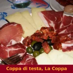
Among the dishes characteristic of this inland Ligurian tradition, farinata di castagne — a flatbread made from chestnut flour mixed with water, salt, and olive oil, cooked in a wood-fired oven — represents one of the oldest preparation techniques in the area.
Trofie al pesto is the most internationally recognised form of Ligurian pasta, made by rolling short twists of flour-and-water dough and dressing them with a sauce of crushed basil, garlic, pine nuts, Pecorino, Parmigiano, and olive oil. In the inland version common to the Savona hinterland, the pesto tends to use proportionally more garlic and less basil than the coastal variant, reflecting the different herb availability at altitude. Minestrone alla genovese, a thick vegetable soup incorporating seasonal produce, dried borlotti beans, and a basil paste stirred in at the end of cooking, is a staple preparation found across the province in domestic kitchens and local trattorie — informal family-run restaurants serving traditional recipes.
The Province of Savona falls within the production area of several Ligurian food products with geographic certification. Olio Extravergine di Oliva Riviera Ligure (PDO) covers olive oil produced from the Taggiasca olive variety across the Ligurian coastal and near-coastal zones, and while the oil’s character is most associated with the coastal strip, the inland comuni of Savona participate in the broader regional olive-growing tradition.
Basilico Genovese (PDO) designates the specific variety of sweet basil grown in Liguria, the primary ingredient of pesto, and its cultivation extends into the province’s interior market gardens. These certifications apply across specific municipalities within the Ligurian region, and local shops in inland Savona typically stock certified versions of both products alongside locally produced alternatives.
Seasonal food events in the inland Savona area tend to coincide with the chestnut harvest in October and November, when several comuni in the province organise sagre della castagna — traditional food festivals centred on chestnut-based preparations including roasted chestnuts, chestnut flour fritters, and chestnut-based desserts. Markets selling local produce operate in larger nearby centres including Savona itself, and visitors to Magliolo can supplement what is available locally by travelling the 20 km (12 mi) to the provincial capital, particularly on market days when inland producers bring seasonal goods directly to urban buyers.
Festivals, events and traditions of Magliolo
The liturgical calendar structures the main public events in small Ligurian comuni, and Magliolo follows the pattern common to the inland Savona area in which the patron saint’s feast day serves as the focal point of the summer social calendar.
In inland Ligurian villages, these celebrations typically involve a solemn religious procession through the historic centre, an outdoor mass, and an evening programme of music and communal eating. The specific date of Magliolo’s patron saint festival follows the Catholic calendar assigned to the village’s dedication, and the format — procession, liturgy, and collective meal — is consistent with the festa patronale tradition documented across the Province of Savona.
Beyond the patron saint festival, the annual calendar in Magliolo and the surrounding comuni reflects the agricultural rhythm of the inland Ligurian year. The chestnut season in autumn brings informal community gatherings centred on the harvest, a practice with documented continuity across generations in the Apennine zone of the province. Local traditions tied to the olive harvest, which runs from October through December depending on the year’s conditions, similarly punctuate the autumn and winter calendar. These events are not formally staged for external visitors but are observable by those who time their visit to coincide with harvest season and engage directly with local producers and residents.
When to visit Magliolo, Italy and how to get there
The best time to visit Magliolo and the inland Savona area falls between late April and early June, and again between mid-September and early November.
The spring window offers mild temperatures, full woodland cover, and the beginning of the local agricultural season without the heat that makes higher-altitude walking uncomfortable in July and August. The autumn window coincides with the chestnut and olive harvests, providing both cooler walking conditions and the greatest concentration of seasonal food activity in the area. Midsummer brings reliable dry weather but also the highest temperatures on the south-facing slopes; midwinter can bring snowfall at altitude, which affects road access on the smaller provincial roads connecting the inland comuni. For those wondering about the best time to visit Liguria more broadly, the coastal areas peak in July and August, making the inland alternative in spring and autumn proportionally quieter and more accessible.
Getting to Magliolo by car is the most practical option for most visitors. From the A10 motorway — the Autostrada dei Fiori — take the Finale Ligure exit and follow the provincial roads inland toward the Savona hinterland, covering approximately 20 km (12 mi) to reach Magliolo. From Savona itself, the SP15 and connecting provincial roads provide the most direct inland route. The nearest major rail hub is Trenitalia services to Savona station, from which onward travel by local bus or hired car is necessary to cover the final 20 km (12 mi) to the village.
The nearest international airport is Genoa Cristoforo Colombo Airport, located approximately 60 km (37 mi) northeast of Magliolo; from the airport, the standard transfer involves taking the A26 or A10 motorway toward Savona and then following provincial roads inland, with a total driving time of approximately 60 to 75 minutes depending on traffic. For visitors planning a day trip from Genoa, the road or combined rail-and-road connection makes Magliolo reachable within a morning, leaving the afternoon for the village and surrounding area before returning to the coast. International visitors should note that English is not widely spoken in smaller inland shops and restaurants; carrying a supply of euros in cash is advisable, as card payment infrastructure in small Ligurian comuni can be limited or intermittent.
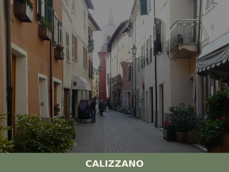
Visitors to Magliolo who want to extend their stay in the area can combine the village with the nearby bordering comuni of Calizzano or Bardineto, both within a short drive, or travel further along the Province of Savona’s inland road network. Apricale, located in the western Ligurian interior in the Province of Imperia, represents a further extension of the same inland Ligurian village typology for those covering a broader sweep of the region. The combination of Magliolo with one or two neighbouring comuni makes for a coherent two-day itinerary covering the key elements of what to see in Magliolo and its immediate geographic context without requiring a return to the coast between stops.
Frequently asked questions about Magliolo
What is the best time to visit Magliolo?
Late spring (May–June) is ideal for walking the woodland trails, when the chestnut canopy is fully out and temperatures at 270 m altitude are mild. Autumn (October–November) rewards visitors with striking foliage colour along the valley roads and is the traditional chestnut harvest season, making it the best period to sample local farinata di castagne. The feast of the patron saint Antonio Abate (traditionally celebrated around 17 January) offers a glimpse of local religious tradition, though winter visits require attention to road conditions in the Ligurian Apennine interior.
What are the historical origins of Magliolo?
Magliolo's origins reflect the common pattern of inland Savona settlements: communities formed around defensible ridge positions in the Ligurian Apennines, with jurisdictional boundaries drawn along watershed lines and forest edges. The village's Ligurian dialect name, Majeu, predates modern Italian administrative records and points to a pre-Italian linguistic layer shared across the Province of Savona. By the nineteenth century, Magliolo was formally constituted as a municipality within unified Italy, taking its place among the smaller comuni of the Savona province.
What to see in Magliolo? Main monuments and landmarks
The historic village core is the primary point of interest, with stone construction following the slope of the terrain in the load-bearing wall tradition typical of the inland Ligurian Apennines. Varying wall textures and window proportions reveal different construction periods. Morning light is the best time to observe the architectural fabric, when surfaces are most legible and foot traffic minimal. The village also offers access to a network of paths connecting the five bordering comuni — Bardineto, Calizzano, Giustenice, Rialto, and Tovo San Giacomo — making it a practical base for exploring the wider inland Savona area.
What are the main natural or scenic attractions of Magliolo?
Magliolo's communal territory spans wooded ridges, valley floors, and upper drainage systems feeding toward the Ligurian coast. The vegetation shifts from Mediterranean scrub at lower altitudes to chestnut and beech woodland higher up. Trails connecting the five bordering municipalities — Bardineto, Calizzano, Giustenice, Rialto, and Tovo San Giacomo — pass through this full landscape range. The 20 km road approach from Savona is itself scenic, illustrating how rapidly the Ligurian landscape transitions from coastal terraced olive groves to narrow Apennine valley morphology.
Who is Magliolo suitable for? Families, couples, hikers, solo travelers?
Magliolo suits hikers and walkers drawn to the inland Ligurian Apennines, particularly those interested in exploring a network of connected villages rather than a single tourist site. It appeals to travellers seeking authentic rural Liguria away from the coastal crowds, and to food enthusiasts keen to experience the chestnut-based and legume-based cooking tradition of the Savona interior. At 60 km from Genoa and 20 km from Savona, it also works well as a day-trip destination for visitors based on the coast who want a contrast with the maritime landscape.
What to eat in Magliolo? Local products and specialties
The inland Savona food tradition centres on calorie-dense, ingredient-specific dishes shaped by altitude and seasonal availability. Key specialties include farinata di castagne (a flatbread made from chestnut flour, water, salt, and olive oil, cooked in a wood-fired oven) and trofie al pesto, where the inland version uses more garlic and less basil than the coastal variant. Minestrone alla genovese, a thick vegetable and borlotti bean soup finished with basil paste, is a staple in local trattorie. The area falls within the production zones of Olio Extravergine di Oliva Riviera Ligure PDO and Basilico Genovese PDO.
📷 Photo Gallery — Magliolo
Nearby Villages near Magliolo
In Liguria More villages to discover
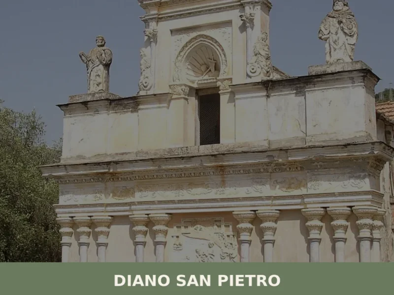
Diano San Pietro
What to see in Diano San Pietro: a village of 1,081 at 83m in the Diano Valley. Discover the Church of San Pietro, olive terraces and nearby villages. Plan your visit.
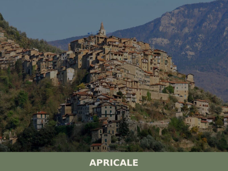
Apricale
A sun-facing medieval village of 626 inhabitants in Liguria's Val Nervia. Explore what to see in Apricale, from its castle to its open-air murals.
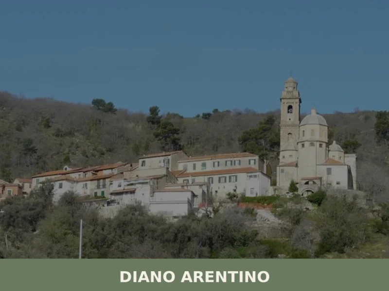
Diano Arentino
Diano Arentino sits at 331 metres above sea level in the province of Imperia, one of several small settlements that make up the historical Comunitas Diani — a confederation of villages documented in medieval records across the olive-rich hills behind the Gulf of Diano. With a population of roughly 700, the village maintains an economy […]
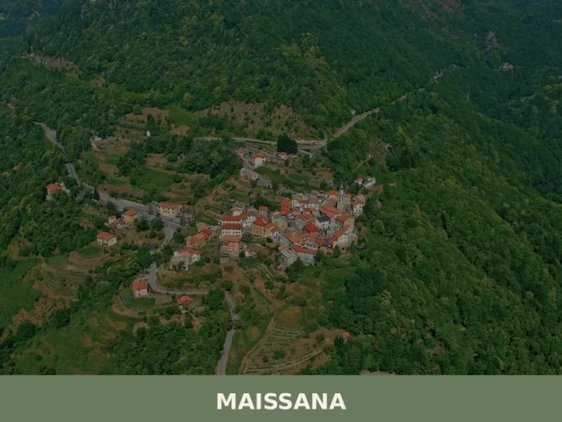
Maissana
What to see in Maissana, Italy: 644 inhabitants, 50 km from Genoa. Discover top attractions, local food, festivals and how to get there. Explore now.
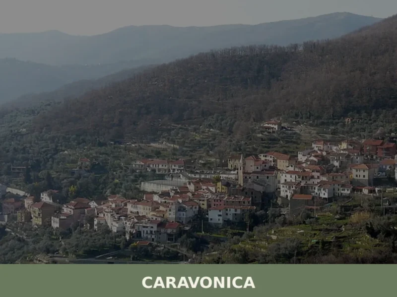
Caravonica
The scent of wild rosemary drifts on the morning air, carried by a breeze that has travelled from the Ligurian Sea and across the terraced olive groves. Morning light, still soft, begins to illuminate the ochre and terracotta facades of Caravonica “”, a village clinging to a hillside in the Imperia province. At 360 meters […]
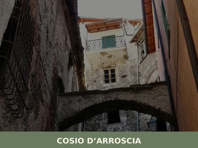
Cosio d’Arroscia
what to see a Cosio d'Arroscia: il village ligure a 721 m s.l.m. con 171 abitanti, la chiesa dei Santi Pietro e Paolo, i hiking trails dell'Alta Via e la festa patronale del 29 giugno.
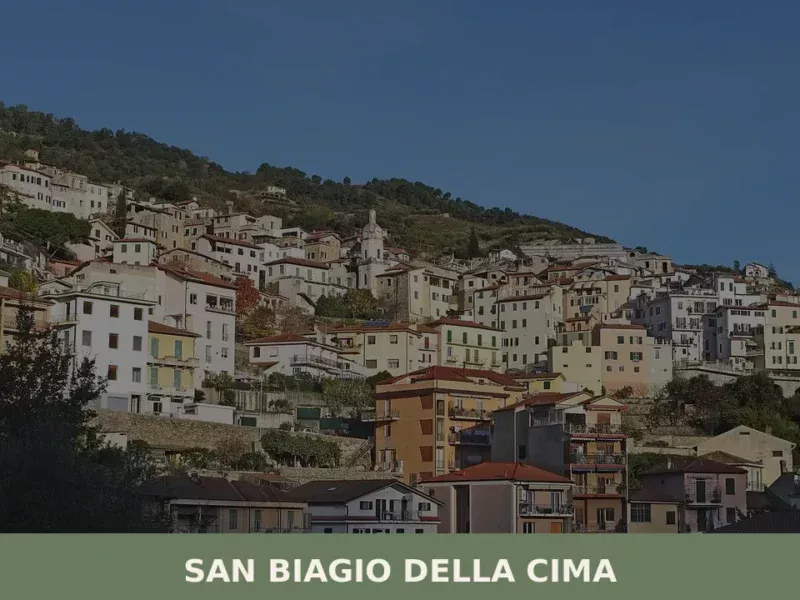
San Biagio della Cima
What to see in San Biagio della Cima, Italy: discover the 1,266-inhabitant Ligurian village, its 1686 historical pact, and surrounding views. Explore this corner of Italy.
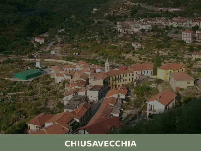
Chiusavecchia, Liguria: An Ancient Italian Village Guide
What to see in Chiusavecchia, Italy: Explore this Ligurian village at 140m altitude. Discover its historic core and the feast of San Biagio.
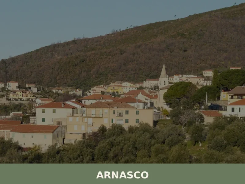
Arnasco
What to see in Arnasco, Liguria, Italy: discover this 552-inhabitant village 80 km from Genoa. Explore its historic centre, local festivals and Ligurian cuisine.
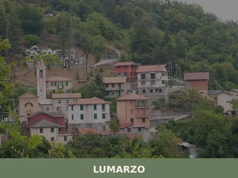
Lumarzo
What to see in Lumarzo: a Ligurian village at 228m with 1,419 residents, historic oratories, Fontanabuona valley trails and the Saint Camillus feast. Plan your visit now.


🏡 Know Magliolo better than we do?
If you’re a local or have been there, your knowledge matters: add what’s missing or fix a detail on this page.