


Pietranico
What to see in Pietranico, Abruzzo, Italy: 506 inhabitants, a medieval castle site, and wind-swept hilltop views. Discover top attractions and how to get there.
Discover Pietranico
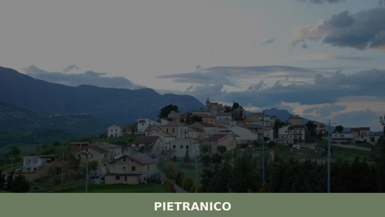
A rock gave this village its name. The medieval castle known as Pietraniqua — later recorded as Petram Iniquam, meaning roughly “the uneven rock” — rose around a prominent limestone outcrop in the hills of the Pescara province, and the settlement that grew below and around it took its character from that elevation. Most of what stands today dates from the 15th century onward, built in layers up a hillside that looks out over a landscape of valleys, ridges, and the distant Apennine profile.
Four wind turbines installed in the period up to 2015 mark the skyline from certain angles, a visible sign of the regional energy policy that overrode local council opposition.
For anyone researching what to see in Pietranico, the answer begins with geography and history working together: a population of 506 inhabitants occupies a compact village whose origins trace back to a fortified castle, whose streets developed over five centuries, and whose position at altitude makes it a reference point for the surrounding comuni of the Pescara hinterland. Visitors to Pietranico find a documented medieval foundation, a cluster of neighbouring villages within a few kilometres, and a landscape shaped by the limestone topography of central Abruzzo, Italy.
History of Pietranico
The name Pietranico derives directly from the rock around which its first fortification was constructed. Medieval records refer to the castle as Pietraniqua, a Latin-inflected term that subsequent documents rendered as Petrainiqua or Petram Iniquam — a phrase pointing to the irregular, difficult character of the rock formation itself. This etymology is not incidental: in medieval Abruzzo, settlements were routinely anchored to defensible geological features, and the name preserved in the official record confirms that the rock was considered distinctive enough to define the entire settlement. The castle preceded the civilian town in the historical sequence, functioning as the structural core around which later construction organised itself.
The village as a built environment largely dates from the 15th century onward.
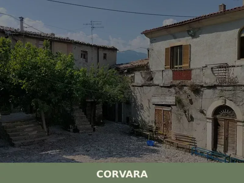
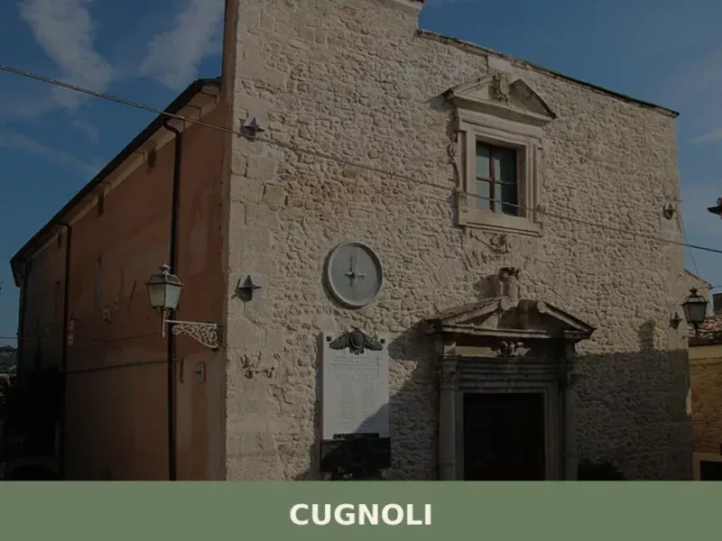
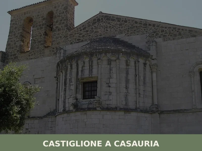
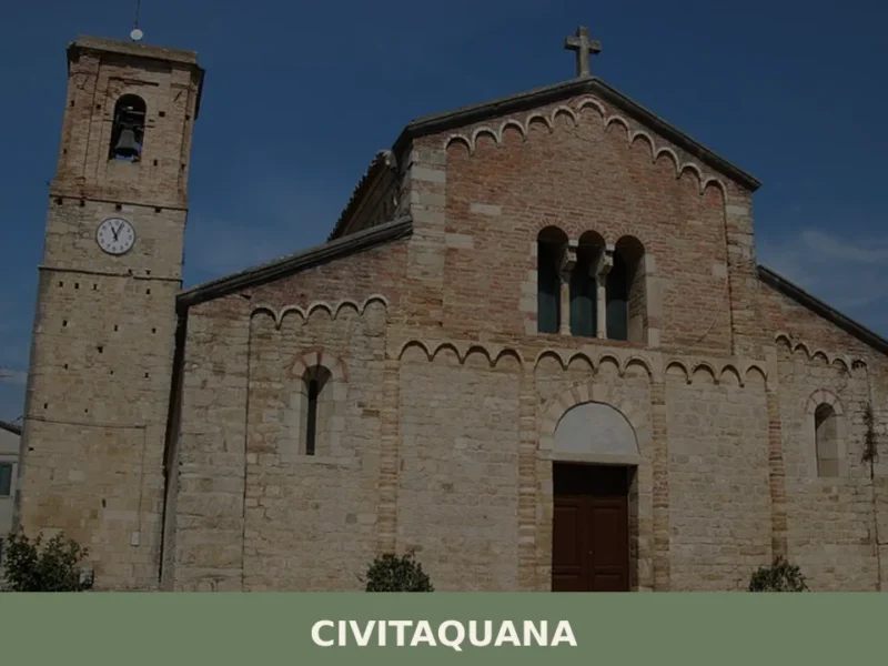
This places Pietranico’s urban development within a broader pattern of post-medieval construction common across the Pescara province, where many hilltop communities expanded their residential fabric during the 1400s and 1500s following periods of feudal consolidation. The neighbouring comuni — Alanno, Brittoli, Castiglione a Casauria, Civitaquana, Corvara, Cugnoli, Pescosansonesco, and Torre de’ Passeri — share comparable topographical conditions and overlapping administrative histories, forming a network of small hilltop settlements across the same ridge system. Elice, another village in the Pescara province, developed under similar feudal and geographic pressures during the same broad period, its position on a defensive ridge echoing the logic that governed Pietranico’s own foundation.
In the modern period, Pietranico became the subject of regional energy planning decisions that the local council had limited authority to contest. By January 2015, four wind turbines had been erected on the territory within the preceding three years, with further installations under consideration at that time. The regional government held jurisdictional primacy over these decisions, a situation that placed the village within a wider debate across Abruzzo about the balance between renewable energy infrastructure and the landscape character of smaller comuni. This recent development is as much a part of Pietranico’s documented history as its medieval castle — a 21st-century layer added to a settlement whose physical form had been largely stable for several centuries.
What to See in Pietranico, Abruzzo: Top Attractions
The Castle Site and the Rock of Pietraniqua
The original reason Pietranico exists at all is this rock formation, substantial enough that medieval administrators named the entire fortification after its character.
The castle known as Pietraniqua — documented under that name and its variants Petrainiqua and Petram Iniquam — was constructed directly around the outcrop, using the geological feature as both structural foundation and defensive asset. Standing at the castle site, the logic of the medieval builders becomes immediately legible: the rock commands sight lines over the valley approaches on multiple sides. The settlement built in the shadow of this fortification from the 15th century onward has preserved the spatial relationship between the rock, the castle position, and the streets that developed below it. Come in the morning when the light hits the exposed limestone from the east.
The 15th-Century Village Fabric
The residential and civic buildings that make up the body of Pietranico date predominantly from the 15th century onward, a construction sequence that is verifiable in the material character of the streets and walls. Stone construction dominates, with the hillside topography requiring buildings to step down the slope in a compact arrangement that leaves little wasted space between structures.
Walking through the village takes fewer than twenty minutes end to end given the population of 506 and the corresponding footprint, but the density of the built fabric rewards close attention. Individual doorways, window proportions, and the transitions between building phases visible in the stonework all carry information about the five or more centuries of continuous occupation. Visit in spring or autumn when the light is lower and rakes across the textured surfaces at a useful angle for reading the material detail.
The Wind Turbine Landscape
Four wind turbines were installed on Pietranico’s territory in the three years leading up to January 2015, with additional installations under consideration at that date. Their presence on the ridge above the village is a documented geographical fact that any visitor will register from a distance, and from certain vantage points within the village they are visible against the Apennine backdrop.
The turbines are each substantial civil engineering structures, and their placement on a hilltop already elevated above the surrounding valleys means they are visible from a considerable radius. Whether their presence is read as intrusive or as an accurate marker of 21st-century rural Abruzzo depends on the individual visitor, but they are unambiguously part of what Pietranico looks like today. The best vantage point for understanding their scale relative to the historic village is from the approach road on the western side.
Views Toward the Neighbouring Comuni
Pietranico shares its immediate territory with eight neighbouring communes: Alanno, Brittoli, Castiglione a Casauria, Civitaquana, Corvara, Cugnoli, Pescosansonesco, and Torre de’ Passeri. From the upper part of the village, the spatial relationship between these settlements and the ridge on which Pietranico sits is directly readable. Torre de’ Passeri to the south sits at a lower elevation in the valley of the Pescara river, and the contrast between its valley position and Pietranico’s hilltop location illustrates the settlement geography of the Pescara province clearly.
Castilenti, in the Teramo province to the north, occupies a comparable ridge position and gives a sense of how consistently this hilltop pattern repeats across Abruzzo’s interior. The clearest panoramic views from Pietranico are accessible from the upper edge of the village near the castle site, where the full arc of the surrounding landscape is unobstructed.
Pescosansonesco and the Immediate Surroundings
Among Pietranico’s eight immediate neighbours, Pescosansonesco is one of the closest and sits within the same micro-territory of the Pescara hinterland. The road network connecting these hilltop comuni follows the ridge contours, with distances between settlements typically ranging from 4 km (2.5 mi) to 12 km (7.5 mi) depending on the route.
For a visitor using Pietranico as a base — or including it in a loop through the Pescara province interior — Pescosansonesco forms a natural extension of the same day. The terrain between the villages is characteristic central Abruzzo: limestone ridges alternating with cultivated valley floors, with the Apennine ridge visible to the east on clear days. Brittoli, to the north of Pietranico, is similarly close and occupies an equally elevated position in the same system of connected hilltop villages.
Local Food and Typical Products of Pietranico
The food culture of the Pescara province interior belongs to the broader culinary tradition of inland Abruzzo, where the cooking has been shaped by livestock raising on the Apennine slopes, cereal cultivation in the valley floors, and the preservation techniques that come with a historically isolated rural economy. Pietranico, at its hilltop position in this territory, sits within a zone where sheep, pigs, and grain have historically been the primary agricultural resources. The village’s small population of 506 reflects the scale of a community that for most of its history fed itself from the immediate surrounding land, with a diet structured around what could be grown, raised, and preserved within a limited radius.
The pasta traditions of inland Abruzzo centre on egg-based and semolina doughs worked by hand into formats that survive long cooking over wood fires.
Spaghetti alla chitarra, made by pressing sheets of egg pasta through a frame strung with steel wires to produce square-section strands, is the foundational pasta of this part of Abruzzo. It is typically served with a lamb ragù slow-cooked with tomato, chilli, and local herbs. Arrosticini — small cubes of castrated sheep meat threaded onto flat wooden skewers and grilled over a long, narrow charcoal channel — represent the most direct expression of the sheep-raising economy. The meat is cut from the leg and shoulder, kept in small pieces of approximately 1 cm (0.4 in), and cooked quickly at high heat so the exterior chars while the interior stays moist. Pecorino cheese, produced from sheep’s milk, appears at various stages of aging across the Pescara province, from the soft fresh version to the hard grating form aged for 60 days or more.
The Pescara province and the surrounding Abruzzo interior also produce ventricina, a coarse-ground pork salume seasoned with sweet and hot dried peppers, fennel, and salt, then aged in natural casings. The fat content is kept high deliberately — typically 40 to 50 percent — which gives the product a spreadable texture at room temperature in the milder cured versions.
This is distinct from the drier, sliceable ventricina of the Vastese area further south. Olio extravergine di oliva from the Abruzzo hills, where olive cultivation extends up to approximately 400 m (1,312 ft) elevation, completes the basic pantry of any household in this zone. The variety most associated with the Pescara hinterland is the Gentile di Chieti, producing an oil with low acidity and a mild grassy note.
Local food in the villages of the Pescara interior is most accessible during the summer and early autumn months, when sagre — traditional food festivals centred on a single ingredient or dish — are held across the network of nearby comuni. These events, typically organised on summer weekends between June and September, bring producers directly into the village square, making them the most reliable point of contact for visitors who want to buy local products directly. Carrying cash is practical at these events, as card payment infrastructure is not universal at village-level markets and stalls.
Festivals, Events and Traditions of Pietranico
The sources available for Pietranico do not specify the name of the patron saint or the precise calendar date of the patronal festival.
What the documented history confirms is that Pietranico has been a continuously inhabited community since at least the 15th century, and communities of this type in the Pescara province maintain patronal feast days as part of the annual civic calendar. These celebrations typically involve a religious procession through the village streets, a Mass in the parish church, and an evening of communal gathering in the main square. The scale of such events in a village of 506 inhabitants is necessarily intimate — the entire resident population plus visitors from neighbouring comuni can be accommodated within the village’s compact public spaces.
The broader festival calendar of the Pescara hinterland, which provides the context for any event at Pietranico, runs most actively from late spring through early autumn. The neighbouring comuni organise their own sagre and civic celebrations across this period, meaning that a visitor spending several days in this part of Abruzzo will encounter at least one local event without specific planning. The wind turbine installations visible from Pietranico’s ridge have also generated public debate meetings and council sessions since 2015, which while not tourist events represent a contemporary form of civic gathering that is part of the village’s documented recent life.
When to Visit Pietranico, Italy and How to Get There
The best period to visit Pietranico corresponds to the late spring and early autumn windows: May to June and September to October.
In these months the elevation — the village sits in the hills of the Pescara interior — keeps temperatures moderate, road access is uncomplicated, and the agricultural landscape in the surrounding valleys is at its most visually varied. Summer brings higher temperatures at lower altitudes in Abruzzo, but Pietranico’s hilltop position moderates the heat relative to the coastal strip and the valley floors. Winter access is possible but the hill roads in this part of the Pescara province can carry ice and light snow between December and February, which adds caution requirements for drivers unfamiliar with the terrain. For a day trip from a major Italian city, Pietranico sits within a realistic range: the city of Pescara on the Adriatic coast lies approximately 40 km (24.9 mi) to the east, making it the nearest urban hub. From Pescara, the drive into the interior toward Pietranico takes approximately 50 to 60 minutes by car depending on the specific route through the provincial road network.
By car from Rome, the journey covers approximately 220 km (136.7 mi) using the A24 motorway toward L’Aquila and Pescara, with an exit toward the Pescara province interior; total drive time is approximately 2.5 to 3 hours. The nearest train station with regular intercity connections is Pescara Centrale, served by Trenitalia on the Adriatic coast rail line. From Pescara Centrale, continuing to Pietranico requires a car or a local bus service — the village does not have a direct rail connection.
The nearest airport is Pescara Abruzzo Airport (Aeroporto d’Abruzzo), located approximately 35 km (21.7 mi) from Pietranico by road. If you arrive by car, the provincial roads into the Pescara hinterland are well-signed from the A25 motorway exits at Torre de’ Passeri and Alanno-Scafa, both within 15 km (9.3 mi) of the village. For international visitors, English is spoken with limited frequency in smaller villages of the Pescara interior, and carrying a supply of euros in cash is practical for any purchases at local shops, markets, or sagra stalls.
Visitors planning a longer stay in the area can extend their itinerary toward Altino, a village in the Chieti province that sits within the same Abruzzo interior geography and offers comparable hilltop village character within a manageable driving distance. Teramo, the provincial capital to the north, provides a larger urban base with accommodation, restaurants, and transport connections for those who prefer to use a town as a hub for day trips into the smaller comuni of the region — including Pietranico itself, reachable in under 90 minutes from Teramo by car.
Frequently asked questions about Pietranico
What is the best time to visit Pietranico?
Spring (April–June) and autumn (September–October) are the ideal seasons to visit Pietranico. At 590 metres elevation, the village enjoys mild temperatures during these periods, and the lower-angle light is particularly effective for reading the textured limestone stonework of the 15th-century village fabric. Summer brings clear days with excellent panoramic visibility toward the Apennine ridge, though midday heat can be intense. Winter is quiet and cold, with occasional snow. No major patron saint festival is currently documented for the village calendar.
What are the historical origins of Pietranico?
Pietranico takes its name from a medieval castle called Pietraniqua, documented in Latin records as Petrainiqua or Petram Iniquam — meaning roughly 'the uneven rock' — built around a prominent limestone outcrop used as a natural defensive foundation. The civilian settlement developed from the 15th century onward, following a pattern of feudal consolidation common across the Pescara province hilltop communities. The name directly reflects the geological character of the site, making Pietranico one of the more transparently etymology-documented villages in inland Abruzzo.
What to see in Pietranico? Main monuments and landmarks
The primary site is the original castle position of Pietraniqua, built around a distinctive limestone outcrop that gave the village its name. From the upper edge of the village near the castle site, panoramic views extend over eight neighbouring comuni including Torre de' Passeri in the Pescara river valley. The compact 15th-century village fabric — stone buildings stepping down the hillside — rewards close attention on foot; a full walking circuit takes under twenty minutes. Four large wind turbines on the surrounding ridge are also a defining visual feature of the contemporary landscape.
What are the main natural or scenic attractions of Pietranico?
Pietranico sits at 590 metres in the limestone hill country of the Pescara province interior, surrounded by a landscape of alternating ridges and cultivated valley floors with the Apennine profile visible to the east on clear days. The approach road on the western side offers the clearest perspective on the village's hilltop position and its relation to the wind turbines on the ridge above. The road network connecting Pietranico to its eight immediate neighbours — including Brittoli to the north and Pescosansonesco nearby — follows ridge contours through characteristic central Abruzzo terrain.
Where to take the best photos in Pietranico?
The upper edge of the village near the castle site provides the widest unobstructed panorama, taking in the full arc of surrounding ridges and the valley positions of neighbouring comuni such as Torre de' Passeri to the south. The western approach road is the recommended vantage point for capturing the scale of the four wind turbines relative to the historic hilltop village. Within the village, morning light from the east rakes across the exposed limestone and textured stonework of the 15th-century buildings at the most useful angle for architectural photography.
Who is Pietranico suitable for? Families, couples, hikers, solo travelers?
Pietranico suits independent travellers and couples drawn to authentic, uncommercialised hilltop villages with documented medieval origins and genuine rural character. The compact scale — a population of 439 within a walkable perimeter — makes it accessible for those with limited mobility, while the surrounding ridge landscape appeals to hikers and photographers interested in the Pescara province interior. It fits naturally into itineraries combining multiple small comuni: Brittoli, Pescosansonesco, and Torre de' Passeri are all within a short drive, making Pietranico a strong anchor point for a day loop through the area.
What to eat in Pietranico? Local products and specialties
Pietranico sits within the culinary territory of inland Abruzzo, where the food tradition is built on sheep farming, pork, and cereal cultivation. The area's signature dishes include spaghetti alla chitarra — egg pasta pressed through a wire-strung frame to produce square-section strands, typically served with slow-cooked lamb ragù — and arrosticini, small cubes of castrated sheep meat grilled on flat wooden skewers over a narrow charcoal channel. These preparations are common across the Pescara province hinterland and represent the most direct expression of the livestock-raising economy historically practised in villages at this altitude.
📷 Photo Gallery — Pietranico
Nearby Villages near Pietranico
In Abruzzo More villages to discover
Alba Adriatica
Until 1956, this locality did not exist as an independent municipality: it was a hamlet of Tortoreto, known as Tortoreto Stazione because of the railway stop on the Adriatic line. The administrative separation created a coastal town that today has 12,760 inhabitants spread across a territory sitting just 5 metres above sea level. Understanding what […]
Barisciano
A high-altitude village on the Piana di Navelli, Barisciano holds Roman ruins, Franciscan cloisters, and centuries of Abruzzo history written in stone.
Castel di Ieri
In Castel di Ieri, a village of 289 registered inhabitants at 519 metres above sea level in the Valle Subequana, the most significant feature lies underground: an Italic temple from the 1st century BC, unearthed during the 1980s, which redrew the archaeological map of inland Abruzzo. Anyone looking into what to see in Castel di […]
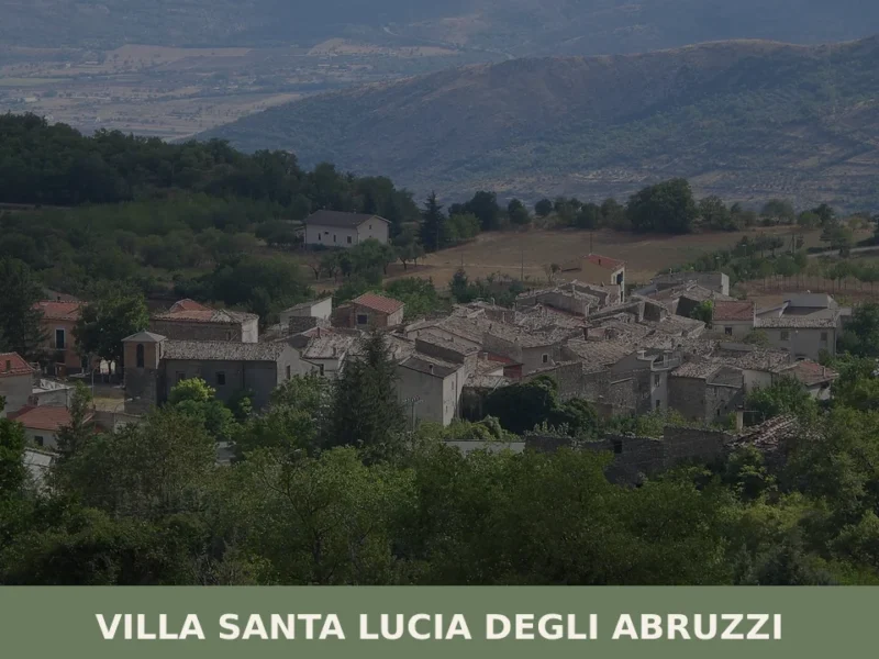
Villa Santa Lucia degli Abruzzi
what to see in villa santa lucia degli abruzzi, Italy. With 76 residents, explore its Gran Sasso park setting and unique demographic profile. Discover this Abruzzo village.
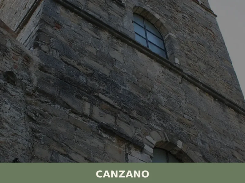
Canzano
Canzano has 1,786 inhabitants and stands at 448 metres above sea level on a hill in the province of Teramo, along the foothill belt separating the Vomano valley from the first Apennine ridges. Anyone wondering what to see in Canzano will find an urban core where the fortified medieval layout coexists with a precise and […]
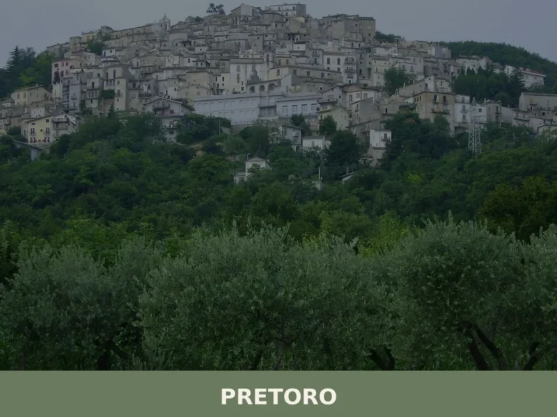
Pretoro
What to see in Pretoro, Abruzzo, Italy: explore a 13th-century sanctuary, a 16th-century Pietà, and Majella National Park. Population 985. Discover it now.
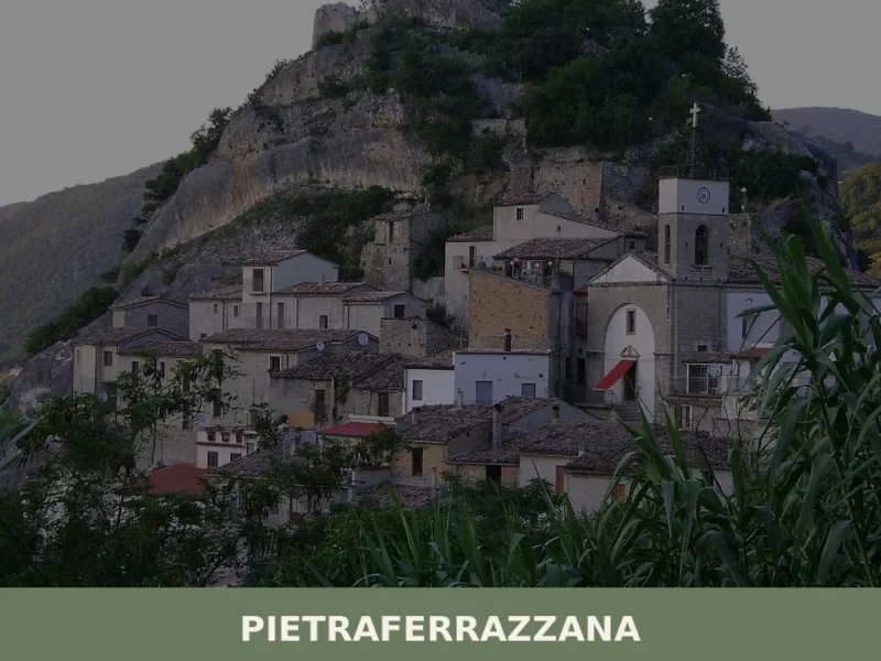
Pietraferrazzana
The rock that gives the village its name is no metaphor: Pietraferrazzana literally grew up against a stone cliff, and the profile of the village changes depending on where you stand along the Sangro valley floor. In this article History and Origins of Pietraferrazzana What to See in Pietraferrazzana: Main Attractions Traditional Cuisine and Products […]
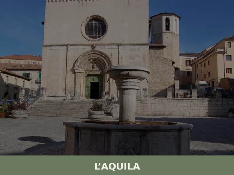
L’Aquila
what to see all'Aquila: 5 attractions storiche, prodotti PAT e consigli pratici per visitare la città abruzzese a 714 m s.l.m. Pianifica il tuo itinerario.
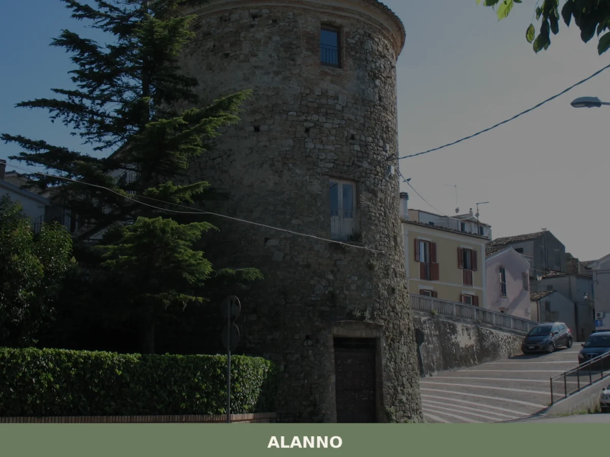
Alanno
what to see in alanno: Discover Italy's Abruzzo region, a comune recorded with 114 families in 1443. Explore the 1485 Santa Maria delle Grazie church and the Wildlife Oasis. Read more.
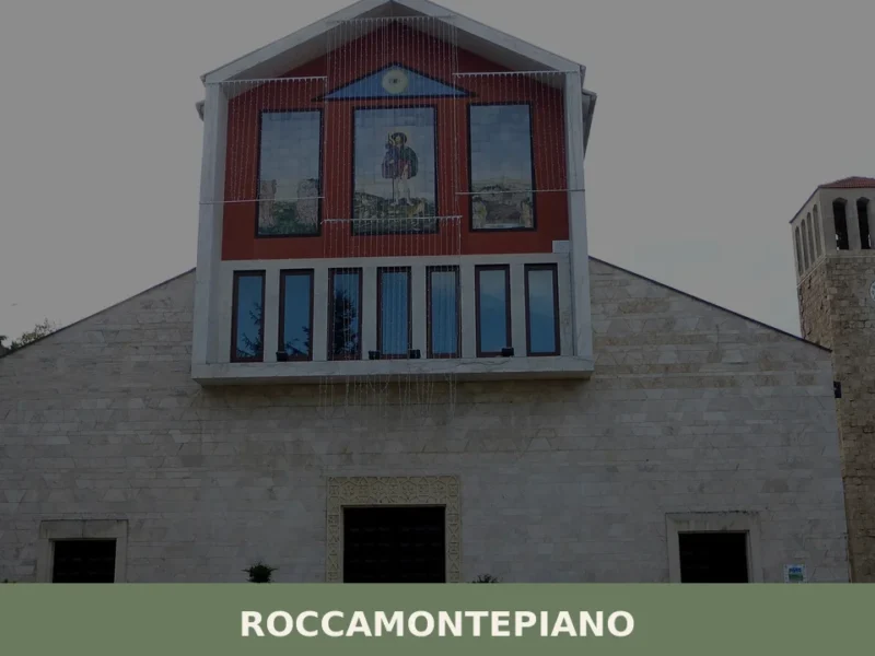
Roccamontepiano
What to see in Roccamontepiano, Abruzzo, Italy: explore a hilltop village at 450 m with a 1765 landslide history. Discover the Saint Roch festival and more.


🏡 Know Pietranico better than we do?
If you’re a local or have been there, your knowledge matters: add what’s missing or fix a detail on this page.