


Pitigliano
What to see in Pitigliano, Italy: a tufa-rock town 80 km from Grosseto with a 1598 synagogue, Etruscan cuts, and Orsini Fortress. Discover the complete guide.
Discover Pitigliano
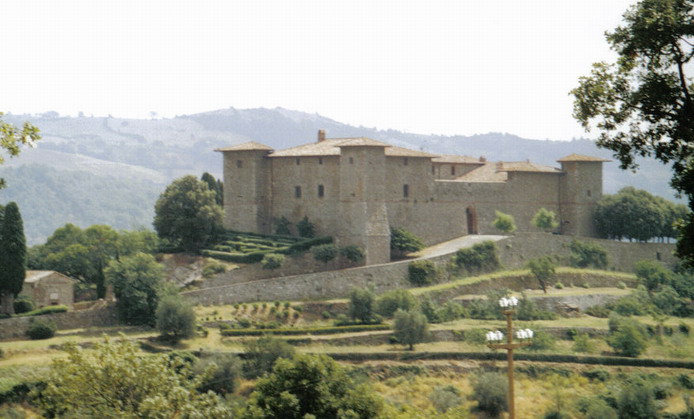
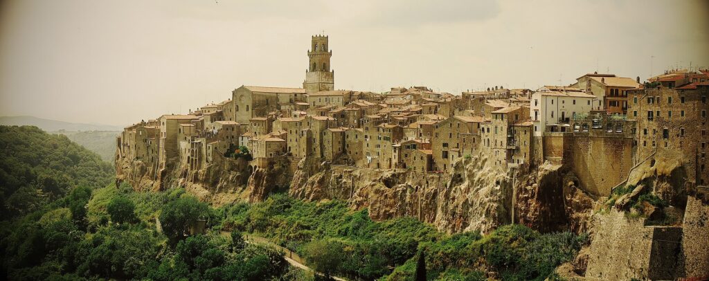
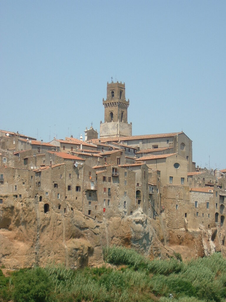
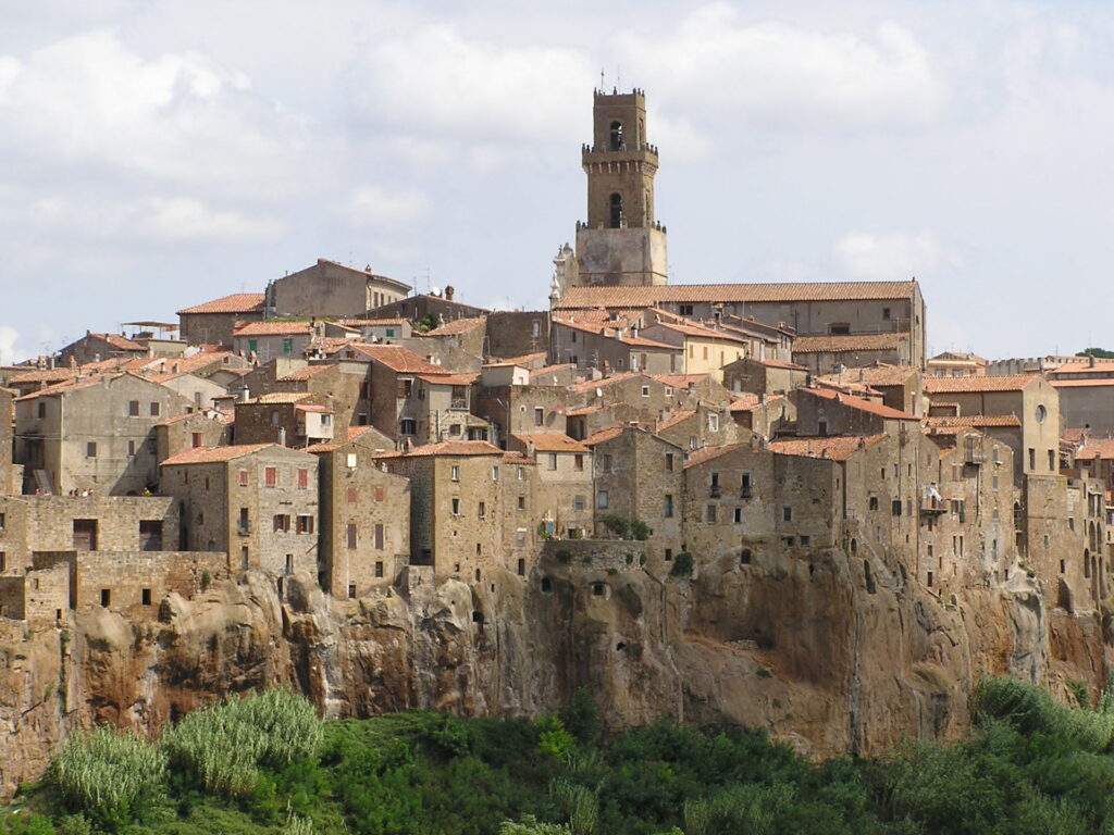
A town built entirely on tufa rises from the Lente valley like a geological fact rather than a human decision. The rock beneath Pitigliano’s streets was cut by Etruscan hands into channels, steps, and passages that descend more than 10 metres (33 ft) below ground level. Above, a medieval aqueduct still stands visible against the sky at the very top of the butte, and the Orsini Fortress — reworked to its current form in 1545 — holds the plateau’s western edge with a mass of stone that the town has simply grown around.
Deciding what to see in Pitigliano is straightforward once you know the site: the town sits about 80 kilometres (50 mi) south-east of Grosseto, at 313 metres (1,027 ft) above sea level, and belongs to the official list of I Borghi più belli d’Italia, Italy’s register of the most beautiful villages.
Visitors to Pitigliano find a synagogue built in 1598, a network of Etruscan rock cuts of unknown purpose, and a fortified historic centre whose walls and gates have survived largely intact. The town is formally recognised as la piccola Gerusalemme, the little Jerusalem, on account of its long-established Jewish community.
History of Pitigliano
The plateau on which Pitigliano stands was occupied in Etruscan times, though the first written record of the town dates to 1061. In the early 13th century it belonged to the powerful Aldobrandeschi family, under whose control it grew into the capital of the surrounding county. That political status was consolidated by the middle of the 1200s, making Pitigliano a regional administrative centre at a time when central Italy was reorganising itself through competing noble houses.
In 1293 the county passed to the Orsini family, an event that began approximately 150 years of intermittent conflict with Siena.
The dispute ended in a negotiated compromise in 1455: Siena formally acknowledged Pitigliano’s county status, and in return the town accepted Sienese sovereignty. The town’s coat of arms reflects this complicated inheritance — the crenellated tower recalls the Orsini castle, while the two flanking lions are drawn from Siena’s symbolism, each topped with a red rose borrowed from the Orsini’s own heraldry. After Count Giovanni Antonio transferred the fief to Grand Duke Ferdinando I de’ Medici in 1604, the Medici palle (decorative balls) were briefly incorporated into the design before being removed, leaving the shield in its present form.
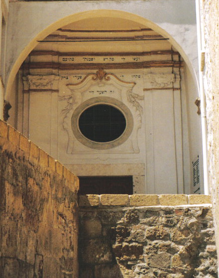
Pitigliano’s position as a frontier town between the Grand Duchy of Tuscany and the Papal States to the south gave it a particular social character. Jews fleeing Rome during the Counter-Reformation found in Pitigliano a degree of tolerance that was not universal in the region. The community established itself firmly enough to build a synagogue in 1598, maintain a ritual Passover matzoh bakery — the forno delle azzime — inside one of the town’s natural tufa caves, and absorb the congregation from nearby Sorano following emigration patterns in the late 19th century.
After the promulgation of racial laws under Nazi influence during the Second World War, the Jewish residents of the town reportedly escaped capture with the assistance of their Christian neighbours. The synagogue was restored in 1995 and rededicated in 2013 by a visiting group from Israel, a service led by Rabbi Dr Jeffrey M Cohen of London.
What to see in Pitigliano, Toscana: top attractions
The Synagogue and Jewish Quarter
The synagogue’s interior furnishings date to the 17th and 18th centuries, while the structure itself was completed in 1598, making it one of the older surviving Jewish places of worship in Tuscany. The building sits within what was the Jewish quarter of the town, where for centuries a community maintained its rituals using the existing tufa caves for the forno delle azzime, the unleavened bread oven used at Passover.
Today the synagogue is officiated only occasionally, as the resident Jewish population is no longer large enough to form a minyan — the quorum of ten adult males required for communal prayer in Jewish law. The 1995 restoration preserved the interior fittings, and visiting hours allow independent viewing of the decorated wooden furnishings and the layout of the prayer hall.
The Orsini Fortress
The fortress occupies the highest point of the tufa plateau, its present configuration the result of a major reworking completed in 1545 that built upon the earlier medieval structure. The Orsini family, who held Pitigliano from 1293 until the Medici transfer of 1604, used the fortress as their seat of power across nearly four centuries of intermittent warfare and political manoeuvring. Standing at the walls today, the view extends across the Lente valley and the surrounding tufa landscape, with the visible drop from the plateau edge demonstrating why this site was chosen as a stronghold. The municipal coat of arms — depicting a silver crenellated tower — directly commemorates this structure, and the architectural mass of the building still defines the western skyline of the town.
Etruscan Rock Cuts (Tagliate)
Artificial cuts in the tufa rock surround the base of Pitigliano’s butte, ranging in depth from less than 1 metre (3.3 ft) to over 10 metres (33 ft).
The Italian term for these features is tagliate, and they radiate outward from the base of the plateau down to the rivers and back up to the surrounding terrain. Carved channels run along the floors of many cuts, and in some sections the channel takes the form of steps. Three main hypotheses exist — roads, quarries, or water-conveyance systems — but the function remains archaeologically unresolved. Walking the perimeter of the butte gives direct access to the most accessible sections of the network, and the scale of the cutting visible in the taller passages indicates a sustained engineering effort of considerable magnitude.
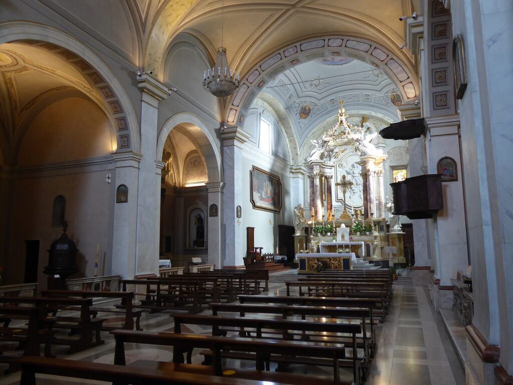
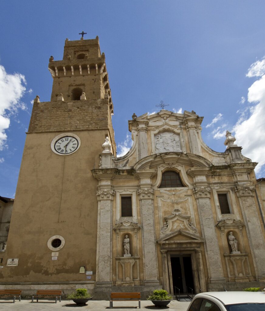
Cathedral of Santi Pietro e Paolo
The Cathedral of Santi Pietro e Paolo stands within the historic centre as the principal religious building of the town, its architecture reflecting the layered construction common to settlements of this age in the Maremma region. The building’s position at the heart of the old town places it within easy walking distance of the Orsini Fortress and the town gates, making it a natural point of orientation for anyone exploring the upper plateau.
The church of Santa Maria, a separate structure, is also documented among the town’s historic religious buildings. Together the two churches define the ecclesiastical presence within a compact medieval street layout where the tufa substratum is visible in exposed sections of the town walls. Visitors focusing on what to see in Pitigliano will find the cathedral interior accessible during standard visiting hours.
The Tempietto and Town Walls
A few hundred metres outside the central district, yet well above the Lente valley floor, a small cave known locally as the Tempietto — or small temple — presents one of the more ambiguous sites in the area. The cave is probably of natural origin but shows clear evidence of human reworking, and local tradition describes it as a paleochristian tempietto, though this has never been formally confirmed.
Its date is estimated at Late Antiquity or the early Middle Ages, with the possibility that it replaced an earlier Etruscan or Roman arcosolium, a type of arched burial niche. The town walls themselves are the other surviving element of the medieval defensive system, and the best-preserved gate is the Porta Sovana, which retains its original stonework and proportions. The remains of a tall aqueduct are visible at the top of the butte, a structure that supplied water to the elevated plateau before the modern infrastructure.
Local food and typical products of Pitigliano
Pitigliano’s position between the Grand Duchy of Tuscany and the Papal States for several centuries produced a culinary situation shaped by two distinct cultural spheres. The Jewish community, resident and active from at least the 16th century, maintained its own dietary traditions in parallel with the broader Tuscan and Maremma kitchen. The forno delle azzime — the cave bakery used to prepare unleavened Passover bread — is the most specific documented trace of this Jewish culinary presence. The Maremma territory, which extends across the province of Grosseto, is historically associated with cattle farming, game, and the products of mixed agriculture practised on volcanic tufa soils.
The broader tradition of the Maremma region, within which Pitigliano sits, is built around ingredients that reflect its pastoral and agricultural character.
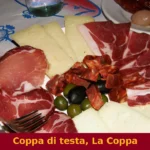
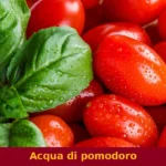
Acquacotta, a broth-based dish whose name translates literally as cooked water, is prepared with whatever seasonal vegetables and eggs are available, typically served over stale bread. Cinghiale — wild boar — is prepared as a slow braise with local herbs, garlic, and sometimes a small addition of wine vinegar to cut the richness of the meat. Tortelli maremmani, a stuffed fresh pasta, is filled with a mixture of ricotta and locally foraged herbs, then dressed with a meat ragù. These preparations are rooted in the economy of the rural Maremma, where seasonal availability and preservation were practical necessities rather than stylistic choices.
The tufa-soil vineyards of the area around Pitigliano produce a white wine that carries the denomination Bianco di Pitigliano DOC, a controlled designation of origin covering white wines from the local territory. The volcanic mineral content of the soil gives the wine a dry character with moderate acidity. This is the most clearly documented certified product associated directly with the town and its immediate surroundings.
The province of Grosseto also produces pecorino cheese, made from sheep’s milk in a territory where transhumant sheep farming was historically widespread, though specific certification details for Pitigliano’s immediate municipal area are not separately recorded in available sources.
Local markets in the town and surrounding Maremma villages typically operate on a weekly basis and offer seasonal produce including wild mushrooms in autumn and legumes in summer. The best period to find locally produced wine directly at small producers is the autumn harvest season, which in this area typically falls between late September and November, depending on annual conditions.
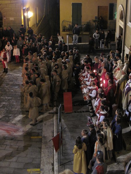
Festivals, events and traditions of Pitigliano
The Jewish heritage of the town is acknowledged through the maintenance of the synagogue as a functioning, if infrequently used, place of worship, and the annual Passover period gives a specific seasonal significance to the tufa cave that once housed the forno delle azzime. This is the most historically grounded ritual tradition that the sources confirm for Pitigliano, linked directly to the community’s practice of baking matzoh in the cave bakery during the Passover period.
The rededication ceremony held at the synagogue in 2013 demonstrated a continued connection between the site and Jewish communities outside Italy, particularly from Israel.
The town’s position within the I Borghi più belli d’Italia network connects it to the broader calendar of village events common to listed Italian communities, though specific patron saint festivals and local sagre — traditional food fairs — are not individually recorded with confirmed dates in the available documentary sources for Pitigliano. What the historical record does confirm is the town’s long association with the surrounding Maremma agricultural calendar, which traditionally structured community gatherings around the harvest, the olive pressing season in late autumn, and the pastoral cycles that characterised the Grosseto hinterland for centuries.
When to visit Pitigliano, Italy and how to get there
The climate data recorded at the town’s weather station, based on a 30-year average from 1951 to 1980, shows a mean annual temperature of 14.1 °C (57.4 °F) at the station’s elevation of 313 metres (1,027 ft). Winters are classified as cold, with prolonged low-temperature periods, and the heating season runs from 15 October to 15 April under the town’s Zone E energy classification. Summers are documented as hot but typically dry, with low relative humidity making the high temperatures more manageable than on the coast.
For those interested in what to see in Pitigliano without the summer peak, late spring — from April through June — offers moderate temperatures, full daylight hours, and lighter visitor numbers than July and August. Autumn, from September through October, combines the harvest season with stable weather and is the most practical period for combining sightseeing with the local agricultural calendar.
Pitigliano, Toscana, Italy is accessible by car via the Via Aurelia (SS 1) or, from Rome, via the A1 motorway to Orvieto and then regional roads south-west through the Maremma. The drive from Rome covers approximately 150 km (93 mi) and takes around two hours depending on route and traffic, placing the town within reasonable day-trip range for travellers based in the capital. From Florence the distance is approximately 200 km (124 mi), making it a full-day excursion by car.
The nearest Trenitalia rail connections reach Grosseto, the provincial capital, from where regional bus services cover the final stretch south-east to Pitigliano. The roads into town are narrow and the plateau edge means the terrain around the historic centre is steep and uneven underfoot, which is worth factoring in for visitors with limited mobility. International visitors should be aware that English is not widely spoken in the smaller shops and service businesses of the town, and carrying cash in euros is advisable for local transactions.
Travellers exploring the tufa district of southern Tuscany often combine Pitigliano with the nearby towns of Sorano and Sovana, both of which are within 15 km (9.3 mi). Those arriving from the north along the Ligurian coastline or the Lunigiana region pass through a very different Tuscan landscape; the medieval village of Bagnone, located in the Lunigiana area of northern Tuscany, represents the other end of the regional spectrum in terms of geography and architectural character, set among the Apennine valleys rather than the volcanic tufa plateaus of the south.
Where to stay near Pitigliano
The territory around Pitigliano, within the province of Grosseto, supports a range of agriturismi — farm-based accommodation units operating under Italian rural tourism regulations — distributed across the Maremma countryside.
These typically offer rooms or self-catering units within working agricultural properties, with access to the surrounding tufa landscape. The town itself is compact enough that most visitors staying within the historic centre or within a few kilometres of the plateau are well positioned to visit the main sites on foot. The surrounding communes of Sorano and Sovana also have documented accommodation options that serve visitors exploring this section of the Grosseto province.
Visitors to Pitigliano wishing to extend their stay in Tuscany and explore the northern reaches of the region may find it useful to know that the Lunigiana area, reached after a drive of several hours north, contains a series of listed villages including Aulla, which functions as a transport hub in that part of Tuscany, and the smaller village of Licciana Nardi, set in the Magra river valley. Both sit in a distinctly different geographical zone — Apennine rather than Maremma — and offer a contrasting experience to what to see in Pitigliano and the volcanic south.
Frequently asked questions about Pitigliano
What is the best time to visit Pitigliano?
Spring (April–June) and early autumn (September–October) offer the most comfortable conditions for exploring Pitigliano on foot, with mild temperatures and fewer crowds than summer. July and August bring peak tourist traffic to this Borgo più bello d'Italia, though the elevated position at 313 metres keeps afternoons bearable. The feast of the patron saint San Rocco is celebrated on 16 August, drawing local visitors. Wine harvest season in September adds regional interest, as the Bianco di Pitigliano DOC vineyards surrounding the tufa plateau enter their most active period.
What are the historical origins of Pitigliano?
The plateau above the Lente valley was settled in Etruscan times, though the first written record of Pitigliano dates to 1061. By the early 13th century it served as the capital of the Aldobrandeschi county. In 1293 it passed to the Orsini family, who held it for over three centuries amid recurring conflict with Siena. A negotiated settlement in 1455 brought Sienese sovereignty. In 1604 Count Giovanni Antonio transferred the fief to Grand Duke Ferdinando I de' Medici, ending Pitigliano's status as an independent frontier county.
What to see in Pitigliano? Main monuments and landmarks
The principal sites are the Orsini Fortress (remodelled 1545), the Synagogue of 1598 with its restored 17th–18th-century interior, the Cathedral of Santi Pietro e Paolo, the medieval Porta Sovana gate, and the visible remains of the aqueduct at the top of the butte. The Etruscan rock cuts (tagliate) around the base of the plateau reach depths exceeding 10 metres and are accessible on foot by walking the butte perimeter. The forno delle azzime cave bakery lies within the Jewish quarter. The synagogue is open to visitors during published visiting hours.
What are the main natural or scenic attractions of Pitigliano?
Pitigliano sits within the tufa landscape of southern Tuscany's Maremma, where volcanic rock formations, gorges, and the Lente valley define the surrounding terrain. The Etruscan tagliate — deep artificial cuts in the tufa — can be explored on foot around the base of the butte, offering direct contact with the geological and archaeological character of the site. The broader area belongs to the so-called Via Cava network, a system of Etruscan sunken roads carved through tufa connecting Pitigliano with nearby Sovana and Sorano, documented as a recognised walking itinerary in this part of Grosseto province.
Where to take the best photos in Pitigliano?
The most photographed view of Pitigliano is from the approach road on the western side, where the entire tufa butte and its dense medieval skyline — including the Orsini Fortress and the aqueduct arches — appear as a single dramatic profile above the valley. This panoramic viewpoint is accessible by car or on foot and is the image most associated with the town in travel guides and official tourism materials. Inside the historic centre, the aqueduct seen from below and the Porta Sovana gate also offer strong architectural compositions, particularly in early morning light.
Are there museums, churches or historic buildings to visit in Pitigliano?
The restored Synagogue (1598) houses 17th–18th-century wooden furnishings and is open to visitors; it forms part of the Museo Ebraico di Pitigliano within the Jewish quarter, which also includes the forno delle azzime cave. The Orsini Fortress contains the Museo Civico Archeologico, which holds Etruscan and local archaeological finds. The Cathedral of Santi Pietro e Paolo is the main religious building in the historic centre. For current opening hours and admission prices, the municipal website or the local Pro Loco should be consulted, as schedules vary seasonally.
What can you do in Pitigliano? Activities and experiences
Walking is the primary activity: the perimeter of the tufa butte gives access to the Etruscan tagliate, and the Via Cava trails linking Pitigliano to Sovana and Sorano are well-established itineraries through the carved-rock landscape of the Maremma. Wine tasting focused on the local Bianco di Pitigliano DOC is possible at producers in and around the town. The Jewish quarter and its associated museum offer a documented cultural itinerary. The town also serves as a practical base for visiting the Etruscan necropolis at nearby Sovana, roughly 8 kilometres away.
Who is Pitigliano suitable for? Families, couples, hikers, solo travelers?
Pitigliano suits couples and culturally motivated solo travellers most directly, given its compact historic centre, the Jewish heritage itinerary, and the dramatic landscape that rewards unhurried exploration. Hikers benefit from the Via Cava network and the tufa perimeter walks, which are accessible but involve uneven terrain. Families with older children will find the Etruscan rock cuts and underground cave visits engaging; the town is less suited to very young children given its steep, cobbled streets and limited flat walking. The absence of a beach means that sea-focused visitors should combine it with the Maremma coast, about 80 kilometres west.
What to eat in Pitigliano? Local products and specialties
The immediate local speciality is Bianco di Pitigliano DOC, a dry white wine produced from Trebbiano Toscano and other permitted varieties grown on the volcanic tufa soils around the town; it has held DOC status since 1966. The broader Maremma kitchen is represented by acquacotta (a vegetable and egg broth served over bread), cinghiale (wild boar braised with herbs and wine), and tortelli maremmani stuffed with ricotta and foraged herbs. The forno delle azzime inside the Jewish quarter recalls the community's tradition of producing unleavened Passover bread, a practice documented from at least the 16th century.
📷 Photo Gallery — Pitigliano
Nearby Villages near Pitigliano
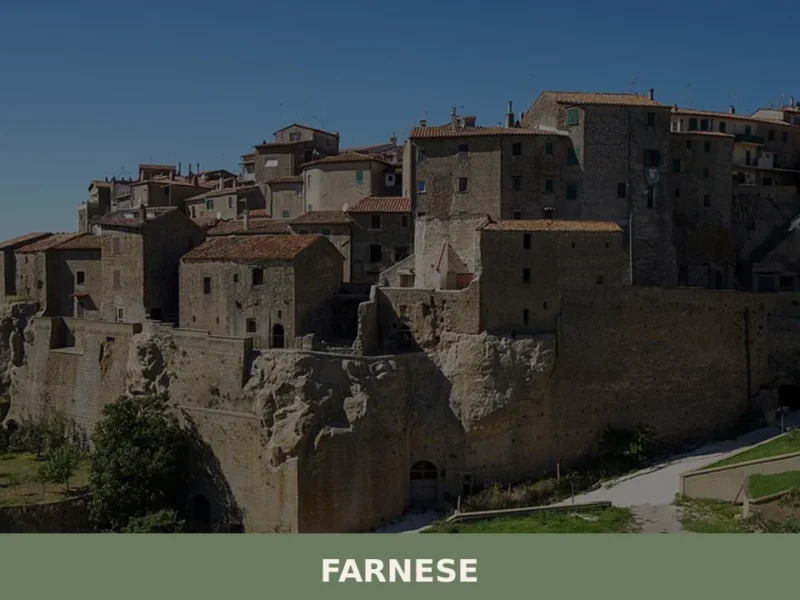
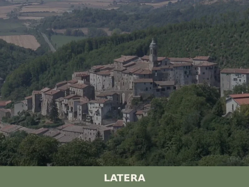
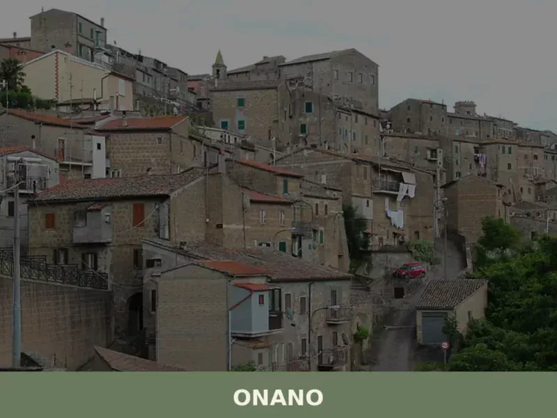
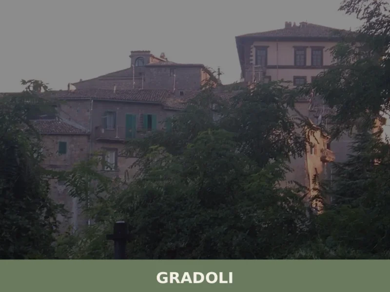
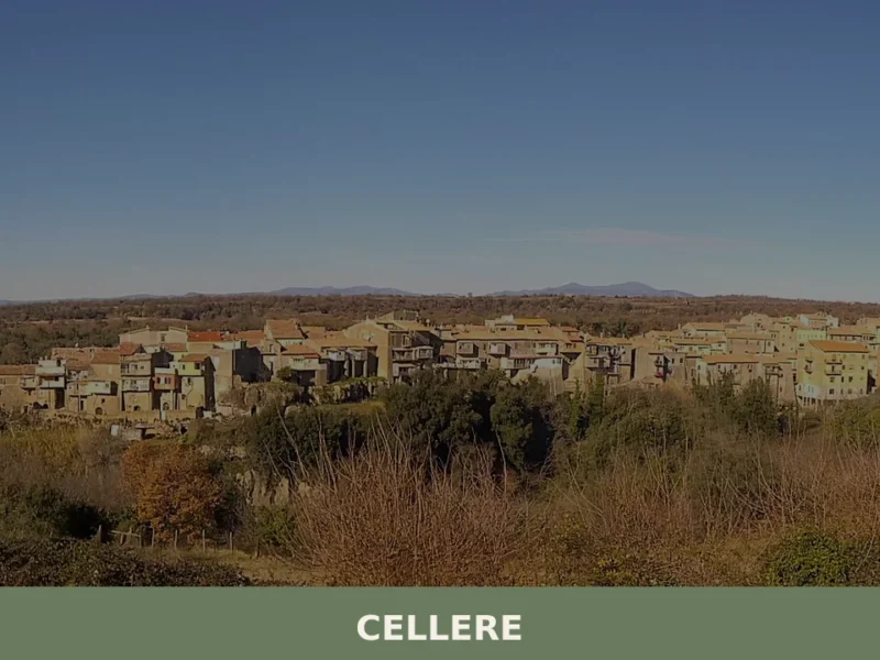
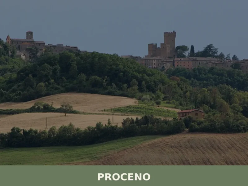
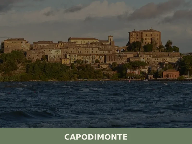
In Tuscany More villages to discover
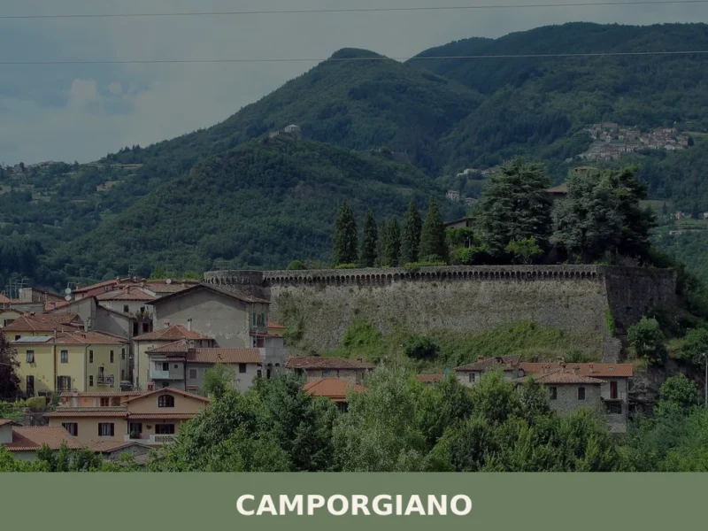
Camporgiano
What to see in Camporgiano, Italy: a hilltop comune at 475 m in Garfagnana, Toscana. Discover the fortress, San Iacopo feast and local chestnut traditions.
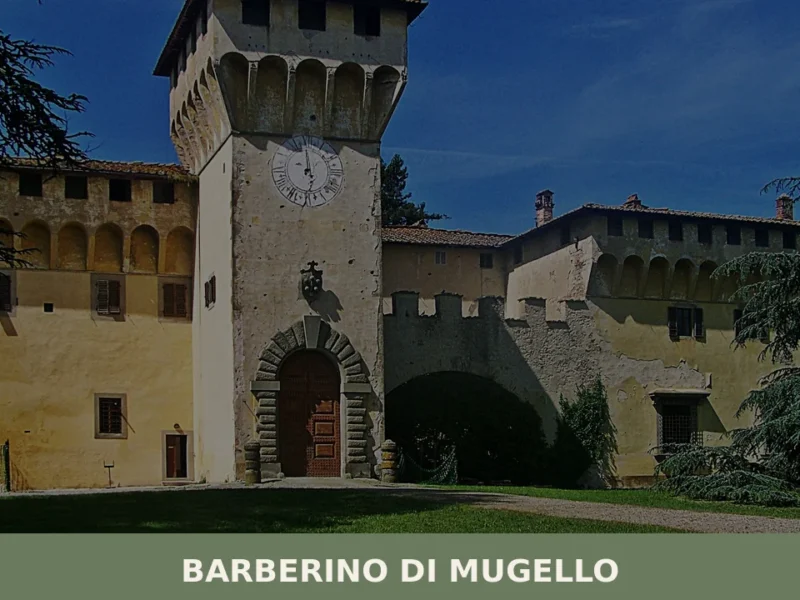
Barberino di Mugello
What to see in Barberino di Mugello, Italy: explore the Villa Medici of Cafaggiolo, local food traditions, and a town of 10,751 inhabitants. Discover the full guide.
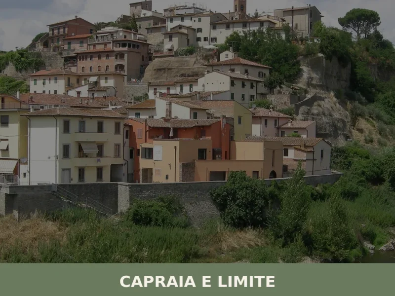
Capraia e Limite
The Arno moves slowly past the low embankment at Limite sull’Arno, its surface carrying the same grey-green light it has carried for centuries. The riverbank here is not decorative: from the 18th century onward, this stretch of the river functioned as a working yard where timber hulls took shape for the Grand Duchy of Tuscany. […]
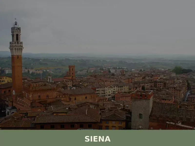
Siena
What to see in Siena: UNESCO centre at 322 m, population 52,883. Explore Piazza del Campo, the Cathedral, the Palio, and local foods like panforte and pici. Plan your visit.
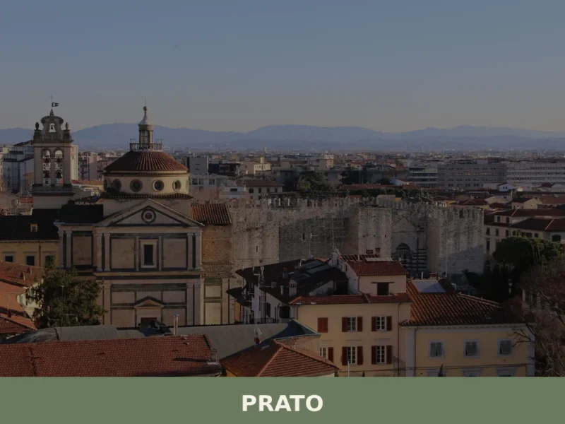
Prato
With nearly 187,000 inhabitants, Prato is the second most populous city in Tuscany and one of the largest urban centres in central Italy. Located on the plain between the Bisenzio river and the first foothills of the Apennines, the city has built a distinct identity over the centuries, defined by its textile industry, medieval art, […]

Montignoso
Discover what to see in Montignoso: 5 historical and natural attractions. Explore Aghinolfi Castle and Monterosso Park!

San Giovanni Valdarno
Founded in 1296 as a Florentine frontier town, San Giovanni Valdarno preserves a medieval grid layout, masterpieces by Beato Angelico, and the legendary miracle of Monna Tancia.
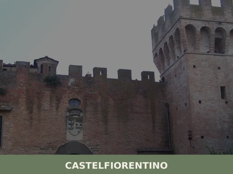
Castelfiorentino
What to see in Castelfiorentino, Italy: 6 top attractions, history from 1149, the Sanctuary of Santa Verdiana and a crucifix by Giovanni Pisano. Discover now.
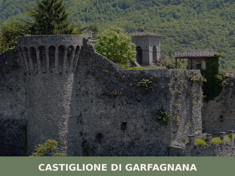
Castiglione di Garfagnana
What to see in Castiglione di Garfagnana, Italy: medieval walls, a 13th-century bridge, and the Rocca fortress at 545 m. Discover the full travel guide.
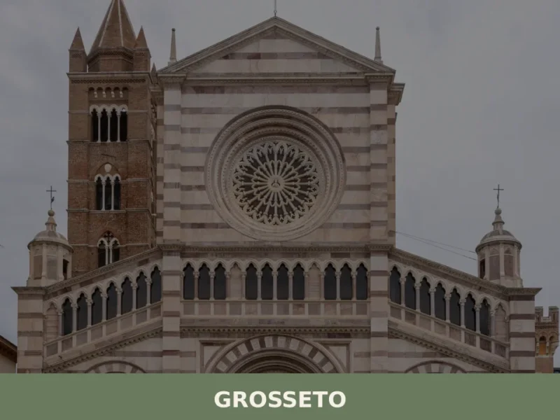
Grosseto
What to see in Grosseto: Medici walls, San Lorenzo Cathedral and the Maremma Natural Park in a city of 79,216 inhabitants. Plan your visit with our complete guide.


🏡 Know Pitigliano better than we do?
If you’re a local or have been there, your knowledge matters: add what’s missing or fix a detail on this page.