


Plodio
What to see in Plodio, Liguria, Italy: explore Val Bormida, Col di Cadibona and local traditions in a village of 640 inhabitants. Discover the full travel guide.
Discover Plodio
The Val Bormida opens at this latitude into a corridor of low ridges where the road from Savona loses its coastal urgency and slows into a pattern of bends and planted slopes.
At the Col di Cadibona — the watershed divide that separates the Ligurian drainage basin from the Po plain — the elevation presses the landscape into something denser and less visited than the Riviera 20 kilometres (12 mi) to the south.
The village of Plodio sits within this geography: 640 inhabitants in the Province of Savona, its houses following the valley floor between cultivated terraces and wooded ridges.
For those researching what to see in Plodio, the answer is rooted in the natural and historical fabric of the Val Bormida rather than in any single monumental landmark. Located about 50 kilometres (31 mi) west of Genoa and 20 kilometres (12 mi) northwest of Savona, Plodio, Liguria, Italy occupies a strategic position between the Ligurian Apennines and the Piedmontese border. Visitors to Plodio find a working valley comune where the proximity of the Col di Cadibona, the river Bormida, and the surrounding ridge trails form the core of any itinerary.
History of Plodio
The name Plodio carries linguistic traces of the pre-Roman and early medieval populations who occupied the Val Bormida before the region was integrated into the administrative structures of Liguria.
In the Ligurian dialect the settlement is called Ciòi, while the Piedmontese form is Ploj — both variants point to a phonetic root distinct from standard Italian, suggesting the village’s position on a linguistic and cultural border between the Ligurian coast and the Piedmontese interior. This boundary function shaped Plodio’s development across several centuries, as the valley served as a corridor linking the port economy of Savona with the agricultural plains beyond the Apennines.
The Col di Cadibona, directly associated with Plodio’s territory, carries documented historical significance that extends well beyond local affairs.
This pass — one of the lowest crossing points in the entire Alpine-Apennine arc — was used by Hannibal Barca’s Carthaginian army during the Second Punic War in 218 BCE, providing a navigable route from the Po valley toward the Ligurian coast.
In later centuries the same pass was used by Roman engineers and medieval traders for the same geographical reason: at roughly 435 metres (1,427 ft) above sea level, it offered a crossing that avoided the higher and more dangerous routes further east or west. The village of Plodio developed in the shadow of this strategic corridor, absorbing the traffic and commercial exchange that the pass generated.
Under the medieval territorial system, the Val Bormida fell within spheres of influence contested between the Republic of Genoa and the Duchy of Monferrato, with local lords and ecclesiastical institutions exercising authority over the rural communes in between.
Plodio was part of this contested inland territory, and like many similar comuni — municipalities — in the Province of Savona, it eventually came under Genoese administrative control before passing, along with the rest of Liguria, to the Kingdom of Sardinia in 1815 and then to unified Italy in 1861.
The contemporary municipality retains its distinct Ligurian-Piedmontese cultural identity, expressed in local dialect forms and in the land-use patterns of the valley that have changed relatively little in their basic structure.
What to see in Plodio, Liguria: top attractions
Col di Cadibona
The Col di Cadibona sits at approximately 435 metres (1,427 ft) above sea level and marks the divide between rivers flowing south toward the Ligurian Sea and those draining north into the Po plain.
This pass is the lowest crossing point between the Maritime Alps and the central Apennines, a geographical fact that made it a reference point for armies, traders, and engineers for more than two millennia.
Standing at the col, the visitor looks north into the agricultural flatness of Piedmont and south along the valley toward Savona and the coast — the contrast between the two landscapes is immediately legible. The pass is accessible by car along the SS29 road and is a logical stop for anyone visiting Plodio, particularly in the spring months when the surrounding ridges are walkable without snow.
The Val Bormida Valley Floor and River Bormida
The river Bormida runs through the valley that gives it its name, and at Plodio the valley floor is narrow enough that the relationship between the water, the road, and the built fabric of the village is direct and close. The Bormida di Mallare, one of the two main branches of the river system, originates in the Ligurian Apennines and follows a course that determined the settlement pattern of every commune in this stretch of the valley.
Walking along the river at Plodio gives a clear sense of the topographical logic that made the valley a transit route rather than a destination in itself. The best period to observe the river at a reasonable flow is late autumn or early spring; summer levels are significantly lower.
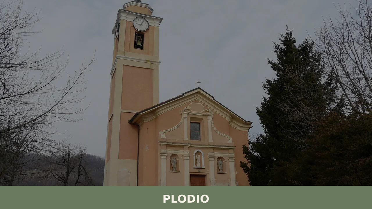
The Parish Church of Plodio
The parish church forms the religious and spatial centre of Plodio, as it does in nearly every Ligurian inland village of comparable size.
The building reflects the architectural conventions of rural Ligurian ecclesiastical construction, with a stone facade and a bell tower that serves as the vertical landmark visible from the valley road. Inside, the structure follows a single-nave plan typical of post-Tridentine church rebuilding programmes that reshaped many village churches in the Province of Savona during the 17th and 18th centuries. Visiting the church in the morning, when the light enters from the east, gives the clearest view of any internal decorative elements; the building is generally open during morning hours and at times of religious services.
The Historic Village Core
The older residential fabric of Plodio clusters along a compact street pattern that reflects the medieval preference for density and mutual shelter.
The houses, built predominantly in local stone with rendered facades, rise two and three storeys and form continuous street walls interrupted by narrow passages and occasional small squares. The village sits approximately 300 metres (984 ft) above sea level, which means the surrounding ridge trails begin directly from the built-up area without requiring a drive. Walking through the village centre — a circuit of no more than 600 metres (0.37 mi) — makes visible the traditional building techniques of the Val Bormida: thick load-bearing walls, small windows oriented toward the valley, and roof lines that follow the slope of the terrain.
The Surrounding Ridge Trails toward the Ligurian Apennines
The ridges enclosing Plodio on the east and west rise to between 700 and 900 metres (2,297 and 2,953 ft) and are crossed by marked trails that connect the valley floor to the Ligurian Apennine watershed.
These paths were originally used for transhumance — the seasonal movement of livestock between lowland winter pastures and highland summer grazing — and their routes follow the most efficient lines of ascent through the forested slopes.
From the higher points, the view extends south toward the Ligurian coast and, on clear days in winter or early spring, to the sea near Savona. Trails in this area are typically walkable from April through October; winter snowfall above 600 metres (1,969 ft) makes higher sections unreliable from December through February.
Local food and typical products of Plodio
The food culture of the Val Bormida reflects the valley’s position between two distinct culinary regions: Liguria and Piedmont. The coastal Ligurian tradition — built on olive oil, dried pasta, vegetables, and preserved fish — meets the Piedmontese interior tradition of richer meat-based dishes, polenta, and dairy products at this latitude.
Plodio and the surrounding comuni have historically drawn from both systems, producing a local table that is more varied in its fat sources and protein base than either coastal Liguria or the Alpine Piedmontese valleys considered separately.
The inland Ligurian kitchen at this altitude relies on a core set of preparations that use locally available ingredients without the luxury ingredients of the Riviera.
Minestrone alla genovese — vegetable soup finished with a spoonful of pesto — appears in Val Bormida versions that use the vegetables available in valley gardens: borlotti beans, potatoes, green beans, and cabbage, combined with short pasta or rice depending on the season. Coniglio alla ligure, rabbit cooked with olives, white wine, pine nuts, and rosemary, is a preparation documented across the Ligurian hinterland and appears on tables in the Savona province inland villages with regularity.
Focaccia, the flat bread made with olive oil, salt, and wheat flour, is baked daily and differs from the thicker coastal versions in the inland villages by being somewhat thinner and crisper at the edges, reflecting the use of local stone ovens rather than industrial bakery equipment.
Chestnuts have historically been a significant food source in the forested Apennine slopes above Plodio, used dried and ground into flour for castagnaccio — a flat baked preparation made from chestnut flour, olive oil, rosemary, and pine nuts, with no added sugar — and for polenta-like porridges consumed during winter months.
This chestnut economy was widespread across the Ligurian Apennines before the 20th century and its traces remain in local autumn food traditions.
The season for fresh chestnuts runs from late September through November, and several Val Bormida villages hold informal markets during this period where locally gathered chestnuts and chestnut flour products are available directly from producers.
No PDO or PGI certified products are recorded specifically for Plodio in the available official sources. The food products consumed in the village are typical of the broader Savona province inland area and are best sought in local shops, weekly markets in nearby larger communes, or at the seasonal food events held in the autumn across the Val Bormida.
Festivals, events and traditions of Plodio
Like the majority of rural Ligurian municipalities, Plodio organises its public calendar around the feast day of its patron saint, which functions as the principal communal gathering of the year. The patron saint celebration typically involves a religious procession through the village, a midday liturgy, and an outdoor meal or sagra — a traditional local food festival — held in the main square or on the church forecourt in the afternoon and evening. The exact date of the feast follows the liturgical calendar and the specific dedication of the parish church.
Musical performance by a local band or visiting ensemble is a standard component of these events in the Province of Savona.
The autumn season in the Val Bormida, from September through November, is characterised by informal food-focused gatherings tied to the chestnut harvest and the end of the agricultural year.
These events are not formally catalogued in regional tourism databases but function as genuine community occasions observable by visitors who are in the area during that period. The village’s position near the Piedmontese border also means that some cross-boundary traditions appear in local practice — including the use of Piedmontese dialect forms in certain songs and ritual expressions that have persisted alongside the dominant Ligurian cultural framework.
When to visit Plodio, Italy and how to get there
The best time to visit Plodio and the surrounding Val Bormida is spring, specifically from late April through June, when the valley vegetation is at its fullest and the ridge trails above the village are clear of snow and accessible without specialist equipment. The second viable window is September and October, when the heat of August has passed, the chestnut harvest begins in the upper forests, and the light on the valley is lower and cleaner.
Summer in the interior Ligurian valleys is warm and dry, with temperatures regularly reaching 30°C (86°F) in July and August, making midday walking on exposed trails uncomfortable. Winter is quiet and cold above 400 metres (1,312 ft), with frost and occasional snow from December to February.
Plodio is reached by car via the A6 motorway (Turin–Savona), taking the Altare exit, which is approximately 8 kilometres (5 mi) from the village along the SS29 road through the Val Bormida.
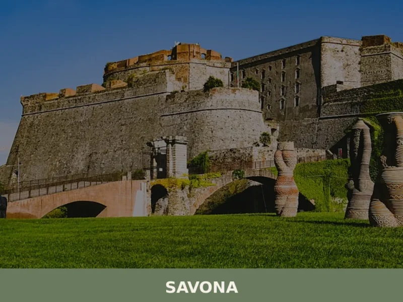
From Savona, the drive is roughly 20 kilometres (12 mi) and takes around 25 minutes. From Genoa, the distance is approximately 50 kilometres (31 mi), making Plodio a realistic day trip from Genoa for visitors based in the Ligurian capital. The nearest railway station with regular service is Trenitalia connections at Savona, from which the village requires onward transport by car or local bus, as no direct rail line serves the Val Bormida at this point.
The nearest international airport is Genoa Cristoforo Colombo Airport, approximately 55 kilometres (34 mi) from Plodio, with a travel time of around one hour by car under normal traffic conditions. For international visitors, it is worth noting that English is spoken infrequently in smaller shops and petrol stations along the Val Bormida; carrying Euro cash is practical, as card payment terminals are not universally available in this part of inland Liguria.
Visitors arriving by road from the north — from Turin or the Piedmontese plain — cross the Col di Cadibona on the SS29 and descend directly into the valley above Plodio, which means the pass itself becomes a first point of orientation. A stop at the col before continuing into the village gives a useful geographical reading of the area.
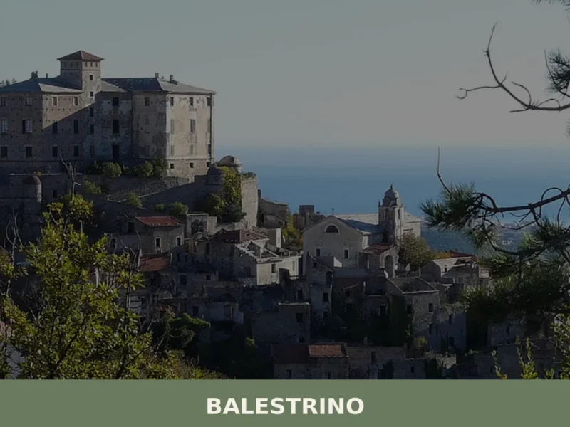
Travellers who want to extend their itinerary westward along the Ligurian coast might consider a visit to Balestrino, a village in the Province of Savona that shares the same inland Ligurian territorial context and makes for a logical extension of a day spent in the Savona hinterland.
Those travelling east from Plodio toward the Genoese Apennines can connect to the area around Crocefieschi, a Ligurian Apennine village in the Metropolitan City of Genoa, which sits within the same ridge system at a higher elevation and offers comparable trail access along the watershed.
Similarly, visitors approaching the Val Bormida from the direction of the Ligurian Riviera di Ponente may pass through the Albenga plain, where Garlenda, a small comune in the Province of Savona, marks the transition between the coastal strip and the first inland valleys — a useful overnight base for those planning an early morning drive to Plodio.
Frequently asked questions about Plodio
What is the best time to visit Plodio?
Spring (April–May) and early autumn (September–October) offer the most rewarding conditions: ridge trails above the village are fully walkable, the Bormida river runs at a good flow, and the surrounding Apennine forests are at their most vivid. The feast of the co-patroness Sant'Anna falls on 26 July, making late July a lively moment to visit. Summer is generally accessible, though the river drops significantly and the higher trails can be dusty. Avoid December through February for ridge walks, as snow above 600 metres makes upper sections unreliable.
What are the historical origins of Plodio?
Plodio's name carries pre-Roman and early medieval linguistic traces. In Ligurian dialect the village is called Ciòi, in Piedmontese Ploj — variants pointing to a cultural border between the Ligurian coast and the Piedmontese interior. The nearby Col di Cadibona, at 435 metres one of the lowest passes in the entire Alpine-Apennine arc, was used by Hannibal's Carthaginian army in 218 BCE and later by Roman engineers and medieval traders. Plodio was part of the contested Val Bormida territory before passing to the Kingdom of Sardinia in 1815 and to unified Italy in 1861.
What to see in Plodio? Main monuments and landmarks
The Col di Cadibona (435 m), reachable by car along the SS29, is the primary landmark — a historically significant Alpine-Apennine divide with sweeping views north into Piedmont and south toward Savona. The parish church, built in local stone with a single-nave plan typical of 17th–18th century Ligurian ecclesiastical construction, is generally open in the morning and during religious services. The historic village core, a walkable circuit of roughly 600 metres, displays traditional Val Bormida stone architecture. All three are accessible on foot from the valley road.
What are the main natural or scenic attractions of Plodio?
The ridges east and west of Plodio rise to between 700 and 900 metres and are crossed by marked trails — originally transhumance routes — connecting the valley floor to the Ligurian Apennine watershed. From the higher points, views extend south toward the Ligurian coast and, on clear winter or early spring days, to the sea near Savona. The river Bormida di Mallare runs directly through the village, and walking the valley floor gives a clear sense of the topography that made this corridor a historical transit route. Trails are reliably walkable from April through October.
Where to take the best photos in Plodio?
The Col di Cadibona offers the most dramatic panoramic shot, capturing the contrast between the flat Piedmontese plain to the north and the descending valley toward Savona to the south — best in clear weather between November and April when atmospheric haze is minimal. Within the village, the bell tower of the parish church provides the principal vertical landmark against the valley backdrop. The ridge trails above 700 metres yield open views toward the Ligurian coast, with the best light in the morning hours during spring and autumn.
What can you do in Plodio? Activities and experiences
Hiking is the primary activity: marked trails departing directly from the village rise along forested ridges to the Ligurian Apennine watershed, with the season running April through October. The Col di Cadibona is accessible by car and makes a straightforward half-day excursion combining history and landscape. Walking the river Bormida di Mallare at valley level is best in late autumn or early spring when water levels are high. The 26 July feast of Sant'Anna offers a direct encounter with local religious and community traditions in the village centre.
Who is Plodio suitable for?
Plodio suits hikers and walkers looking for quiet Apennine ridge trails away from the crowded Ligurian Riviera. History-minded travellers with an interest in the Punic Wars or medieval trade routes will find the Col di Cadibona a genuinely significant stop. The compact, car-free village core and manageable trail distances make it accessible for couples and independent travellers seeking slow tourism. Families with older children comfortable on moderate forest paths will find the valley and ridge walks rewarding. It is not oriented toward beach tourism or large-group travel.
What to eat in Plodio? Local products and specialties
The Val Bormida table at this altitude blends Ligurian and Piedmontese traditions. Expect minestrone alla genovese with borlotti beans and pesto, coniglio alla ligure (rabbit with olives, white wine, pine nuts, and rosemary), and focaccia baked in local stone ovens — thinner and crisper than the coastal Riviera version. Castagnaccio, a dense flat cake made from chestnut flour, olive oil, rosemary, and pine nuts with no added sugar, reflects the historical chestnut economy of the forested Apennine slopes above the village. Chestnuts were also ground into flour for winter polenta-style porridges.
📷 Photo Gallery — Plodio
Nearby Villages near Plodio
In Liguria More villages to discover
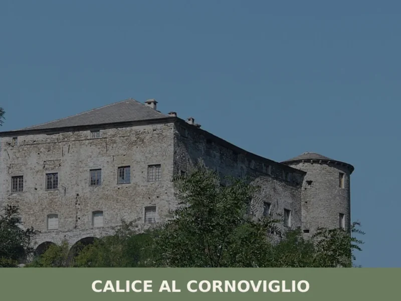
Calice al Cornoviglio
Discover Calice al Cornoviglio: medieval castle, baroque church, and historic village. Explore Ligurian hinterland's history and nature.
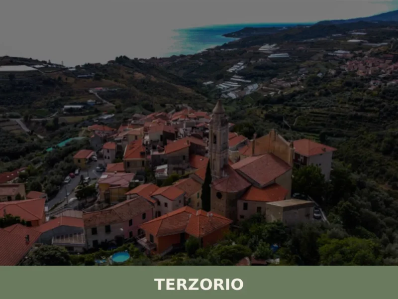
Terzorio
What to see in Terzorio, Italy: Explore a Ligurian village with 231 inhabitants, known for panoramic views and olive oil. Discover its quiet charm.
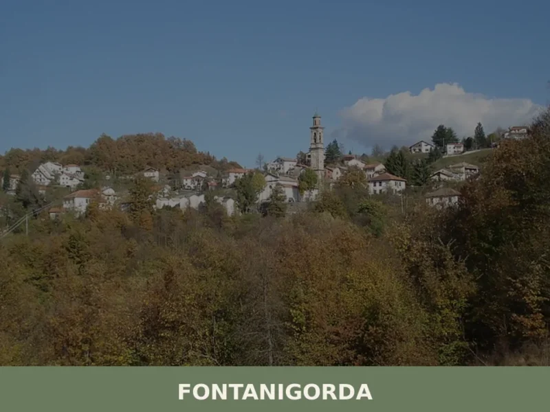
Fontanigorda
At 819 meters above sea level, in the heart of the upper Trebbia Valley, Fontanigorda appears as an alpine settlement in the province of Genoa. Its documented origin dates back to 1153, when it appears in annals as “Fontana Gordana,” a reference to the abundance of water in its territory. This village, with a population […]
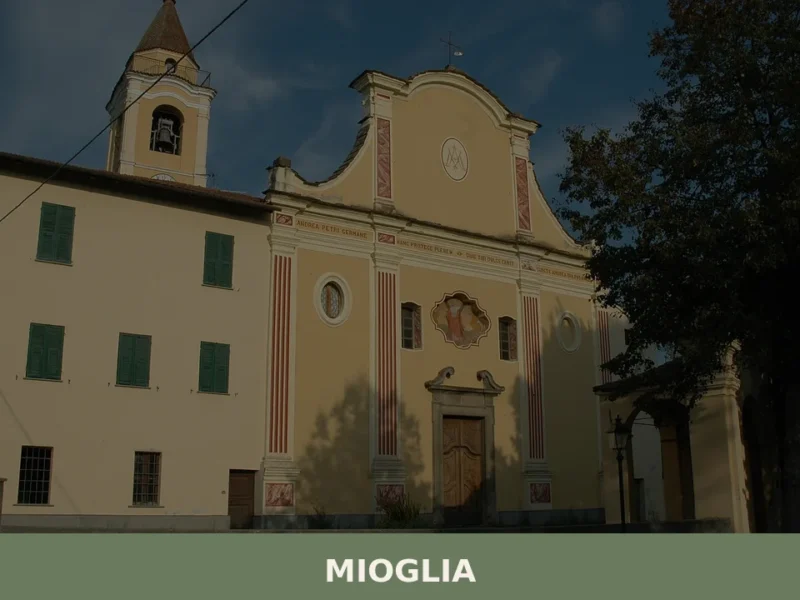
Mioglia
What to see in Mioglia, Italy: a village of 538 inhabitants 40 km from Genoa. Discover top attractions, local food, festivals and how to get there.
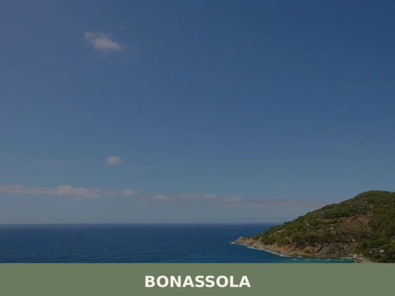
Bonassola
Bonassola’s single-track railway station, opened in 1874 as part of the Genoa–La Spezia line, brought the first outsiders to a coastal settlement that had survived for centuries on olive oil, wine, and anchovies. Today this compact village of 794 inhabitants sits at six metres above sea level along the Riviera di Levante, its beach one […]
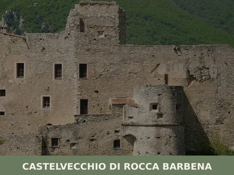
Castelvecchio di Rocca Barbena
What to see in Castelvecchio di Rocca Barbena, Liguria, Italy: explore a 9th-century castle, 166 inhabitants, 70 km from Genoa. Discover top attractions and travel tips.
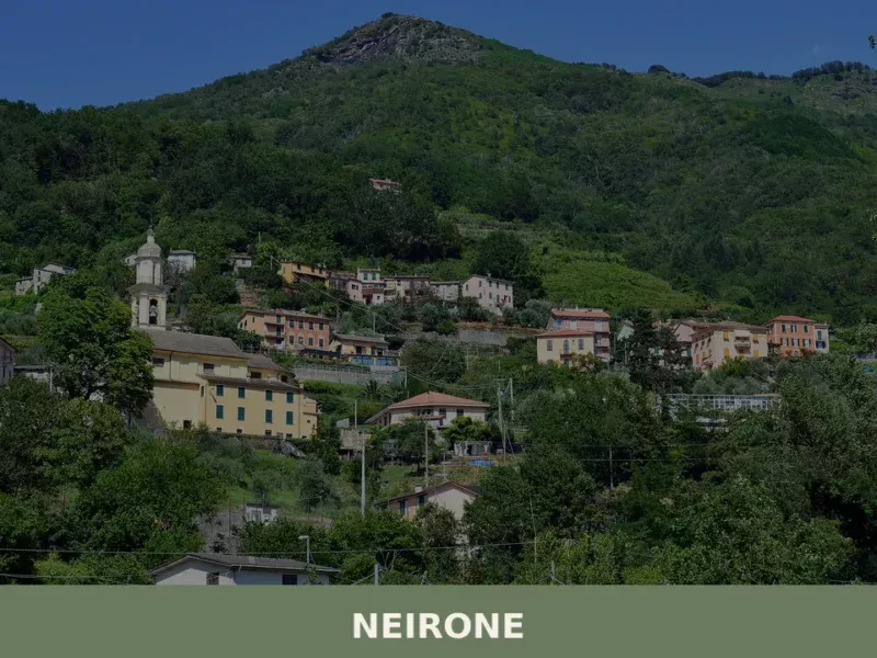
Neirone
what to see in neirone explores this Ligurian village of 954 inhabitants in Italy. Discover local landscapes and general Ligurian cuisine.
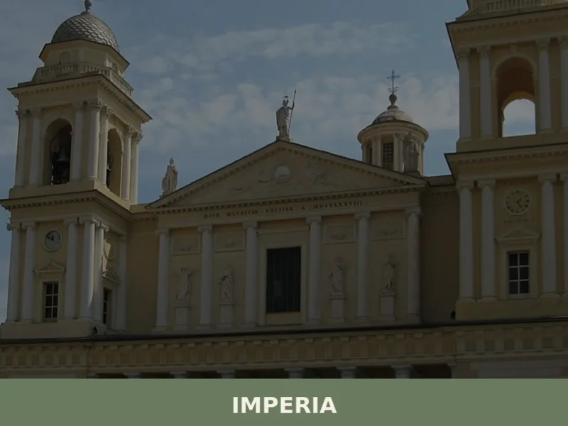
Imperia
What to see in Imperia: dual city rising to 534 m in Liguria. Explore the Parasio, the free Olive Museum and sardenaira. Plan your visit now.
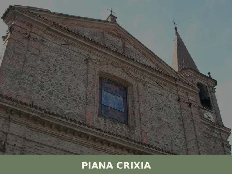
Piana Crixia
what to see in piana crixia, Italy: Explore this Savona comune (843 inhabitants) and its international ties. Discover Ligurian character and natural surroundings.
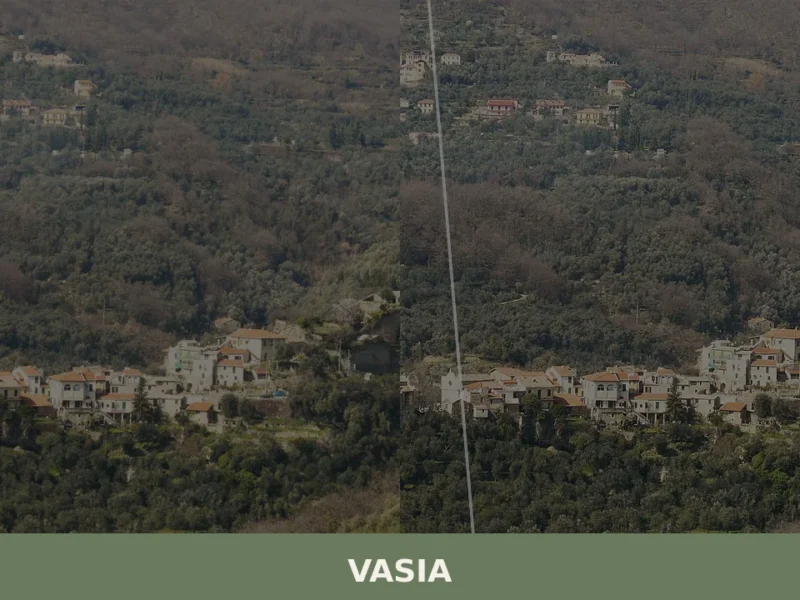
Vasia
What to see in Vasia, Liguria, Italy: explore a village of 418 inhabitants 9 km from Imperia. Discover top attractions, local food, and how to get there.


🏡 Know Plodio better than we do?
If you’re a local or have been there, your knowledge matters: add what’s missing or fix a detail on this page.