


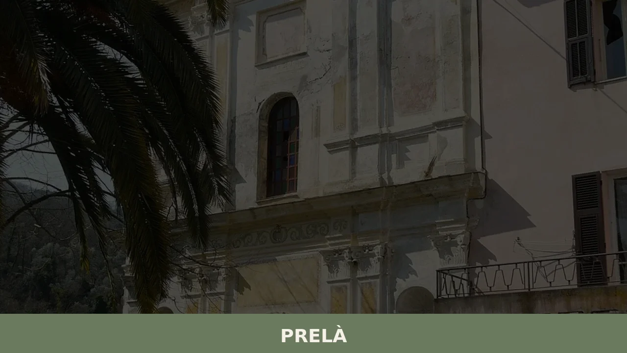
Prelà
What to see in Prelu00e0, Liguria, Italy: explore 5 top attractions, local olive oil traditions, and practical travel tips. Population 485. Discover it now.
Discover Prelà
The road into Prelà climbs through terraced hillsides at roughly 15.4 square kilometres (5.9 sq mi) of municipal territory, with stone retaining walls holding olive groves in place above the valley floor.
The five bordering municipalities — Borgomaro, Carpasio, Dolcedo, Montalto Ligure, and Vasia — form a ring of Ligurian hill country around this compact comune in the Province of Imperia.
The landscape does not announce itself dramatically; it resolves slowly, in layers of grey schist and pale render, as the road gains elevation.
Deciding what to see in Prelà means engaging with a municipality of 485 inhabitants set approximately 9 km (5.6 mi) northwest of Imperia and about 100 km (62 mi) southwest of Genoa. Visitors to Prelà find a cluster of historic hamlets, Romanesque and Baroque ecclesiastical architecture, and a countryside defined by centuries of olive cultivation.
The Prelà highlights include its parish churches, the interplay of its inland valleys, and the network of mule tracks that still connect its scattered settlements.
History of Prelà
The comune of Prelà sits within a zone of Liguria that passed through the hands of several medieval powers before stabilising under Genoese administration.
The Province of Imperia, formally constituted in the twentieth century, drew together a series of older administrative units, and Prelà’s territory reflects that layered inheritance.
Settlement in this part of the Ligurian interior follows the logic of defensive positioning: communities established on ridgelines and natural terraces above river valleys, close enough to cultivable ground but far enough above flood risk to remain viable across generations.
Genoese commercial and political influence over the western Ligurian hinterland shaped the local economy from the medieval period onward, integrating communities like Prelà into trade networks centred on olive oil, timber, and small-scale wool production.
The five municipalities that border Prelà today — Borgomaro, Carpasio, Dolcedo, Montalto Ligure, and Vasia — each carry their own ecclesiastical and administrative histories, but they share a common pattern of development tied to the Genoese Republic’s inland expansion.
This network of hill communes functioned less as isolated outposts than as nodes in a documented system of rural exchange. The neighbouring village of Coreglia Ligure, further east along the Ligurian Apennine ridge, developed under broadly comparable conditions of Genoese-era governance and inland agricultural economy.
In more recent history, Prelà saw its population contract through the internal migrations that affected much of the Italian interior during the twentieth century.
The population recorded at 31 December 2004 stood at 497, and the current figure of 485 reflects the gradual demographic pressure that many small comuni in the Province of Imperia have experienced over the same period.
Since 2005, Prelà has maintained an official twinning with Châteauneuf-Grasse in France, a relationship that connects two communities shaped by similar Mediterranean hill-country contexts and comparable agricultural traditions.
That formal link was established in 2005 and remains one of the few documented international institutional ties the municipality holds.
What to see in Prelà, Liguria: top attractions
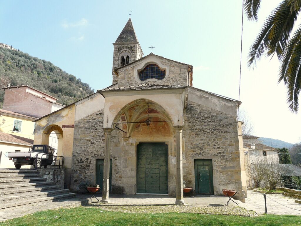
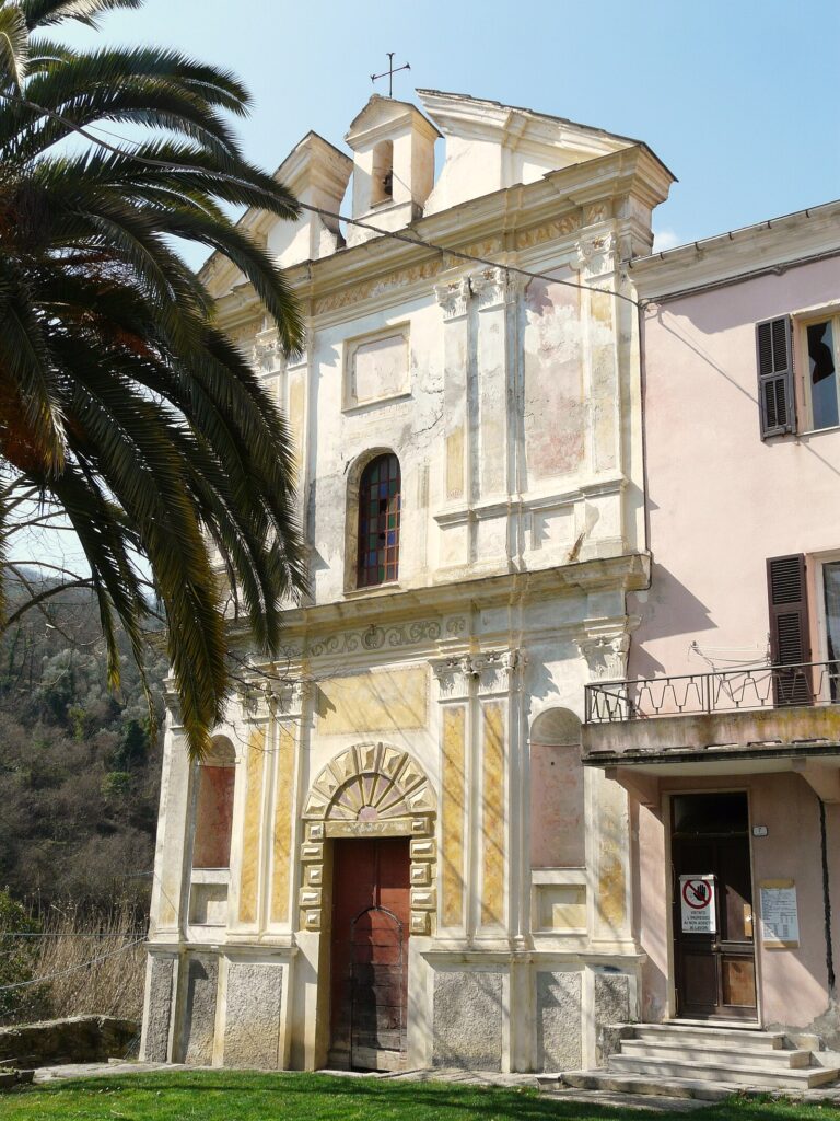
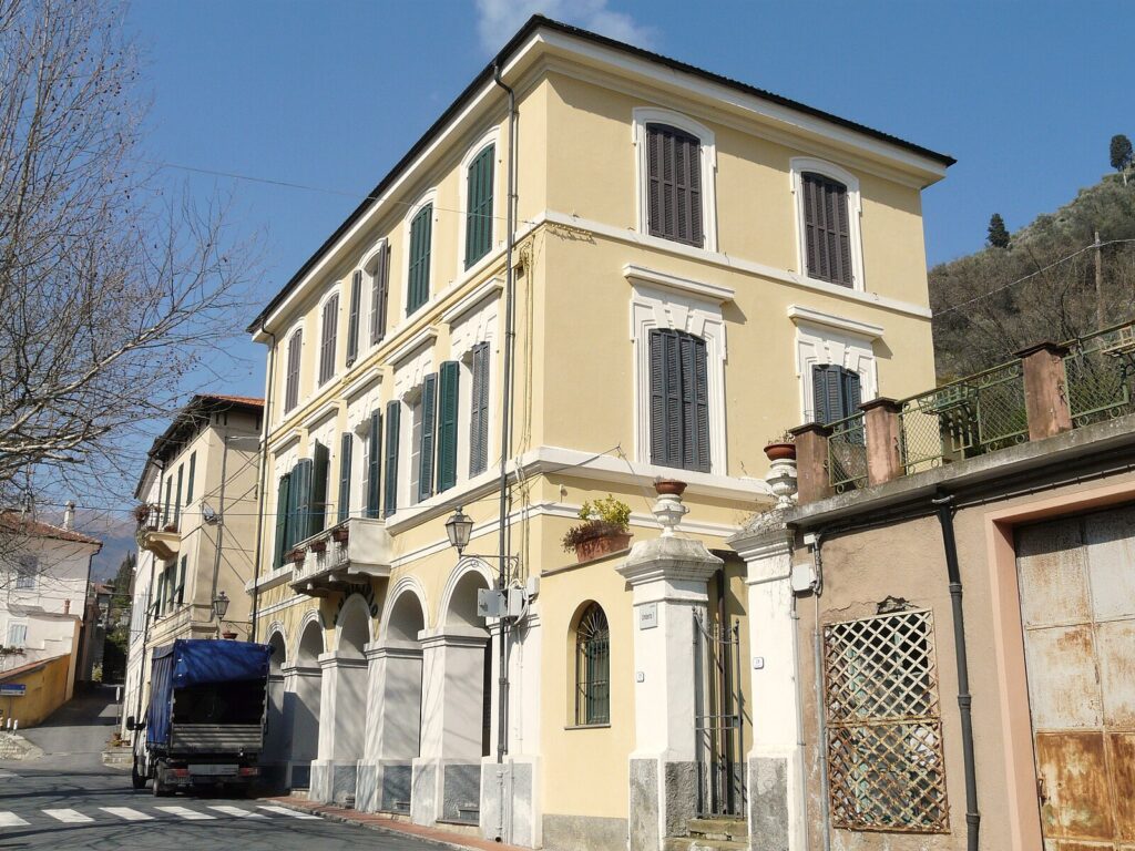
The Parish Church of San Giorgio
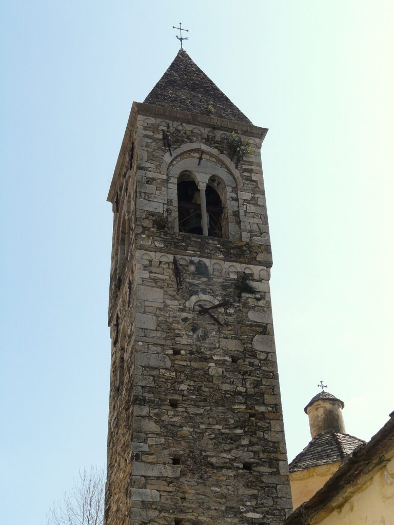
The parish church dedicated to San Giorgio stands as the principal religious structure in the Prelà settlement cluster, its façade in local stone rising above the narrow approach lane.
Ligurian parish churches of this type typically incorporate building phases from the seventeenth and eighteenth centuries, with later interventions visible in the proportions of the bell tower relative to the nave. Inside, the organization follows the single-nave plan standard to hill-country parishes in the Province of Imperia, with side altars accommodating votive commissions accumulated over roughly three centuries.
Visit in the morning when the east-facing entrance receives direct light and the interior is at its clearest.
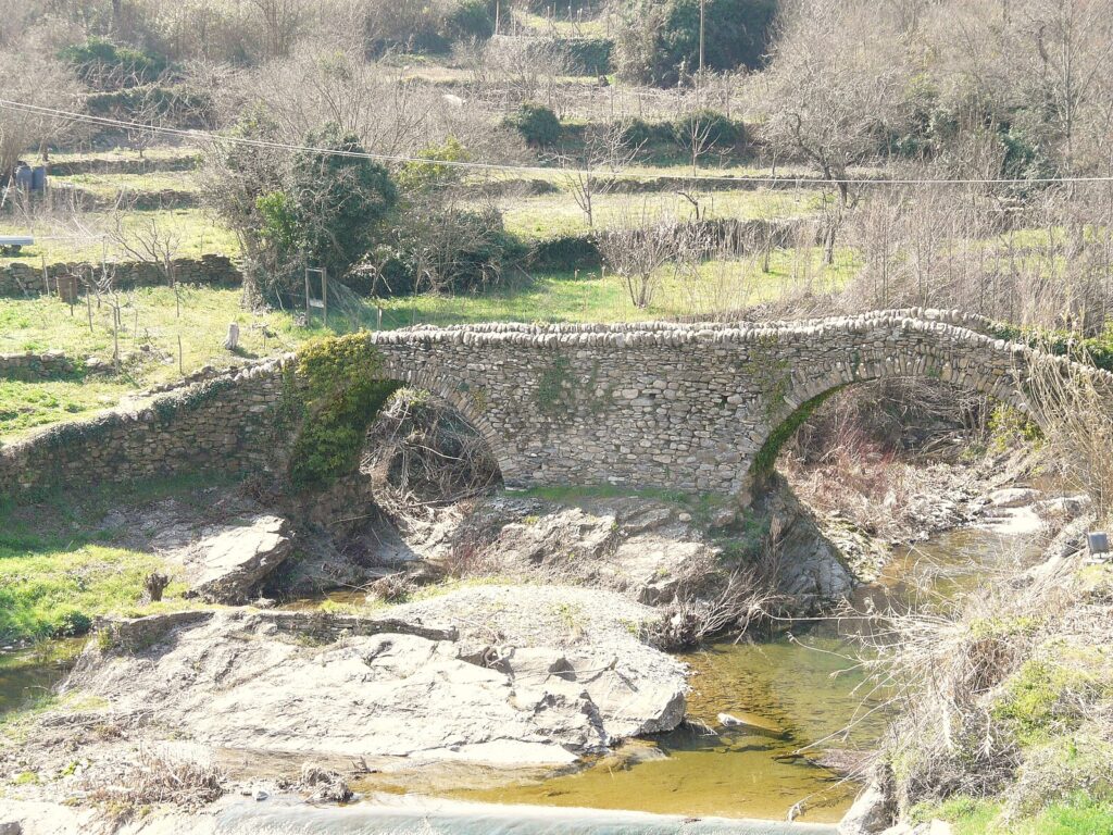
The Historic Hamlets of the Prelà Commune
Prelà is not a single nucleated village but a commune composed of several distinct frazioni — smaller settlement units — distributed across its 15.4 sq km (5.9 sq mi) of territory.
Each fraction occupies its own topographic position, typically a spur or terrace above a tributary valley, and each preserves a recognisable core of pre-twentieth-century fabric: vaulted ground floors, external staircases in flat stone slabs, and covered passageways linking adjacent buildings. Walking between the frazioni on the original mule tracks takes between twenty and forty minutes per leg, depending on the gradient, and gives a direct reading of how the commune was organised before road construction.
The tracks are uneven in places, so footwear with ankle support is practical.
The Terraced Olive Landscape
The agricultural terracing that covers the slopes around Prelà was constructed over several centuries and represents a significant feat of dry-stone engineering: retaining walls of local schist, some rising 1.5 m (4.9 ft) or more, hold narrow planting beds that follow the contour lines of hillsides with gradients exceeding thirty percent.
Olive cultivation in this part of the Province of Imperia has been documented since at least the medieval period, with Genoese records referencing oil production in the western Ligurian interior from the thirteenth century onward.
The variety most associated with this zone is the Taggiasca, a small-fruited cultivar well adapted to the thin soils and variable rainfall of the inland valleys. Autumn, from October into November, is the period when the harvest is underway and the terraces are most actively worked.
The Valley Borders and Surrounding Municipal Territory
Prelà borders Dolcedo to the south, a municipality that sits closer to the Imperia coastal plain and has its own documented medieval mill system along the Prino river.
The boundary zone between the two comuni passes through a section of valley where the terrain drops noticeably — from the higher elevations of the Prelà terraces to the broader valley floor that approaches the coast.
This gradient, covering a linear distance of roughly 9 km (5.6 mi) between Prelà and Imperia, gives the commune its distinctive character: an inland hill settlement close enough to the sea to share its climate but sufficiently elevated to maintain a distinct agricultural and architectural identity.
For context on the broader Ligurian coastal and urban environment, the city of Genova, approximately 100 km (62 mi) to the northeast, functions as the regional capital and main transport hub for visitors arriving from northern Europe.
Borgomaro and the Northern Border Zone
The northern boundary of Prelà’s territory meets the municipality of Borgomaro, and the road connecting the two passes through a section of the inland Ligurian landscape that sees considerably less traffic than the coastal routes.
Borgomaro itself lies at a higher elevation than Prelà’s main settlement cluster and offers a different perspective on the same Ligurian hill-country geography.
The borderland between the two comuni is agricultural in character, with abandoned terraces in some sections reflecting the labour shortages that affected small-scale Ligurian farming through the latter half of the twentieth century.
For visitors interested in what to see in Prelà and its immediate surroundings, this northern zone provides a measurable contrast to the more accessible southern approach from Imperia.
Local food and typical products of Prelà
The food culture of Prelà belongs to the broader western Ligurian inland tradition, which differs from coastal cooking in its reliance on preserved rather than fresh fish, on foraged herbs from the hill slopes, and on olive oil as the primary cooking fat.
This part of the Province of Imperia has historically oriented its agricultural production around the olive — specifically the Taggiasca cultivar — and the oil pressed from those olives has a documented export history reaching back to the Genoese merchant networks of the medieval period.
The inland position also means that dried legumes, chestnut flour, and cured pork products carry more weight in the traditional diet than they do in coastal Ligurian cooking.
Among the preparations most closely identified with this zone, coniglio alla ligure deserves particular attention: rabbit braised with Taggiasca olives, white wine, pine nuts, and rosemary, the sauce reduced until it coats the meat in a dense, slightly bitter glaze.
The technique is slow and requires a covered pan over low heat for at least ninety minutes to break down the connective tissue in older animals. Torta di verdure, a flat pastry encasing a filling of chard, ricotta, and Parmigiano, bound with egg and seasoned with marjoram, represents the vegetable-forward side of the local repertoire.
The pastry shell in traditional preparations uses olive oil rather than butter, giving it a shorter, drier texture than northern Italian equivalents.
Farinata, a thin unleavened chickpea-flour pancake baked in a copper pan at high heat, appears throughout western Liguria and functions here as both street food and a component of more elaborate meals.
The Taggiasca olive oil produced in this zone of the Province of Imperia is associated with the Riviera Ligure DOP designation, which covers olive oil from across the Ligurian coast and its immediate hinterland. Within that designation, the western sub-zone — Riviera dei Fiori — specifically includes production from municipalities in the Imperia area, and Prelà’s olive groves fall within this documented geographic scope.
The DOP specification requires a minimum oleic acid content and sets standards for the harvest and pressing process that favour the hand-picking methods still used on the steeper terraced plots.
Oil from Taggiasca olives has a relatively low bitterness and a finish with a mild, rounded peppery note rather than the sharper profile of oils from Tuscan or southern Italian cultivars.
Small producers in the Prelà area and the neighbouring comuni of Dolcedo and Borgomaro sell oil directly from their farms, typically from November onward when the new harvest has been pressed.
Markets in Imperia, 9 km (5.6 mi) to the southeast, carry local production year-round, and the city’s covered market is a practical point of purchase for visitors staying on the coast who want to take oil home. Carrying cash is advisable for direct farm purchases, as card payment infrastructure is inconsistent among small producers in the hill comuni of the Province of Imperia.
Festivals, events and traditions of Prelà
The religious calendar in Prelà, as in most Ligurian hill comuni, organises its public events around the feast days of patron saints associated with individual frazioni and their parish churches.
The feast of San Giorgio, the principal patron, is the most significant of these occasions, marked by a votive Mass, a procession through the village streets, and — in good weather — outdoor gatherings that extend into the evening.
The exact date follows the liturgical calendar for San Giorgio, which falls on 23 April, though local celebrations in smaller comuni are sometimes transferred to the nearest Sunday for practical reasons of attendance.
The sagra format — a traditional local food festival structured around a single ingredient or dish — appears across the Ligurian interior during summer and early autumn, and the municipalities around Prelà participate in this regional circuit.
Olive-related events concentrate in autumn, coinciding with the harvest period from October into November, when freshly pressed oil is available and producers open their frantoio (oil mill) facilities to visitors.
These events are informal and variable from year to year; checking with the municipality of Imperia or local tourism offices before planning a visit around a specific event is the practical approach, as scheduling in small hill comuni can shift depending on seasonal conditions and volunteer availability.
When to visit Prelà, Italy and how to get there
The best time to visit this part of Liguria depends on what a visitor wants from the trip.
Spring, from April through June, brings moderate temperatures and the olive trees in flower, with the hill tracks dry enough to walk comfortably. Summer sees higher temperatures and more activity along the nearby coast, but the inland elevation of Prelà’s settlements keeps conditions more manageable than on the beach strip.
Autumn — October and November in particular — is the most active period agriculturally, with the olive harvest underway and the landscape at its most productive.
Winter is quiet and some local services operate on reduced hours, but the landscape is clear and roads are generally accessible except in the rare event of snow at higher elevations. For visitors combining a coastal stay in Imperia with an inland day trip, the spring and autumn windows offer the most practical combination of weather, activity, and access.
Prelà sits approximately 9 km (5.6 mi) northwest of Imperia, and the most direct route by car follows the provincial road network from Imperia inland through the Prino valley. From the A10 motorway — the Autostrada dei Fiori connecting Savona to the French border — the Imperia exit provides access to the provincial roads leading north into the hill country.
Total driving time from the motorway exit to Prelà is under twenty minutes in normal conditions.
The nearest mainline railway station is Trenitalia services at Imperia Porto Maurizio or Imperia Oneglia, both on the coastal line connecting Genova to Ventimiglia; from either station, the onward journey to Prelà requires a car or taxi, as no regular bus service connects the coastal stations directly to the hill commune.
The nearest international airport is Aeroporto di Nizza Côte d’Azur in France, approximately 65 km (40 mi) to the west, with a drive time of around one hour to Imperia depending on border and motorway conditions.
From Genova, the drive covers roughly 100 km (62 mi) along the A10/A26 motorway system, making Prelà a feasible destination for a full-day excursion from the regional capital.
International visitors should note that English is not widely spoken in smaller shops and farmhouses in the hill comuni; carrying euros in cash is practical, particularly for direct purchases from local producers.
Visitors extending their trip along the Ligurian coast will find that Deiva Marina, on the eastern Ligurian Riviera, offers a different but complementary experience of the region — a small coastal settlement with direct rail access from Genova and a character shaped more by the sea than by the olive-growing inland that defines the Prelà area.
For those approaching from the direction of La Spezia and the eastern Ligurian coast, the route west along the Via Aurelia or the coastal motorway connects the two ends of the Ligurian Riviera across approximately 120 km (74 mi), with Imperia and its inland comuni including Prelà in the western section. Travellers based in La Spezia can reach the Imperia area in roughly ninety minutes by car or by regional train along the coastal line, making a day trip to the Prelà inland zone a workable proposition from that eastern base.
Frequently asked questions about Prelà
What is the best time to visit Prelà?
The most rewarding period is autumn, from October into November, when the Taggiasca olive harvest is underway and the terraced hillsides are actively worked — offering a direct experience of the agricultural cycle that has defined this inland comune for centuries. Spring brings mild temperatures and clear light ideal for walking the mule tracks between frazioni. Summer is warm but not extreme at 151 m elevation. The feast of the patron saint San Giovanni Battista traditionally falls in late June, though visitors should verify local dates with the municipality before planning around it.
What are the historical origins of Prelà?
Prelà developed within the western Ligurian interior under the political and commercial influence of the Genoese Republic, which integrated hill communities like this into trade networks centred on olive oil, timber, and wool from the medieval period onward. Settlement followed the defensive logic common to the region: hamlets placed on ridgelines and natural terraces above valley floors. The Province of Imperia, formally constituted in the twentieth century, unified older administrative units of which Prelà formed part. Since 2005, the comune has maintained an official twinning with Châteauneuf-Grasse in France.
What to see in Prelà? Main monuments and landmarks
The principal religious monument is the Parish Church of San Giorgio, whose stone façade rises above the narrow approach lane; the interior follows a single-nave plan with side altars accumulated over roughly three centuries. Beyond this, the commune rewards exploration of its distinct frazioni — historic hamlets on separate spurs and terraces — connected by original mule tracks walkable in twenty to forty minutes per leg. The terraced olive landscape itself, built from dry-stone schist walls over several centuries, constitutes a significant heritage site. Visit the church in the morning when east-facing light is strongest.
What are the main natural or scenic attractions of Prelà?
The principal natural draw is the terraced agricultural landscape covering the hillsides around Prelà: dry-stone retaining walls of local schist, some over 1.5 m high, hold contour-following olive groves on slopes exceeding thirty percent gradient. The valley border zone with Dolcedo to the south offers a measurable change in terrain as the land drops from the higher Prelà terraces toward the coastal plain. The northern boundary with Borgomaro passes through quieter inland Ligurian countryside with abandoned terraces that reflect the area's twentieth-century demographic shift.
Where to take the best photos in Prelà?
The most photogenic views come from the mule tracks connecting the frazioni, where the layered schist retaining walls and olive groves create the characteristic stepped silhouette of the Ligurian interior. The approach lane to the Parish Church of San Giorgio offers a composed architectural shot best taken in morning light when the east-facing façade is directly illuminated. The valley border zone toward Dolcedo, where the terrain drops noticeably over a few kilometres, provides open panoramic angles across the olive terraces toward the southern hills.
Are there museums, churches or historic buildings to visit in Prelà?
The documented ecclesiastical heritage centres on the Parish Church of San Giorgio, the principal religious structure in the comune, which incorporates building phases from the seventeenth and eighteenth centuries with a bell tower, single-nave interior, and side altars bearing votive commissions spanning approximately three centuries. The frazioni preserve pre-twentieth-century vernacular fabric including vaulted ground floors, external stone staircases, and covered passageways. Specific opening hours for the church are not publicly documented; visiting during morning hours on weekdays or around Sunday services is generally advisable for rural Ligurian parishes.
What can you do in Prelà? Activities and experiences
Walking the historic mule tracks between the frazioni is the most direct activity, with legs of twenty to forty minutes on uneven ground requiring ankle-support footwear. The olive harvest season in October and November offers the possibility of observing or participating in the Taggiasca harvest on the terraced groves. The road connecting Prelà to the neighbouring municipality of Borgomaro to the north passes through quiet inland Ligurian landscape that sees little traffic, making it suitable for unhurried cycling or driving. The twinning relationship with Châteauneuf-Grasse occasionally generates cross-border cultural exchanges.
Who is Prelà suitable for? Families, couples, hikers, solo travelers?
Prelà suits visitors who prefer slow, independent travel over organised tourism infrastructure. Hikers and walkers will find the mule track network between frazioni genuinely rewarding, though uneven terrain means it is better suited to adults and older children than to very young families. Couples and solo travellers interested in rural Ligurian heritage, olive oil culture, and vernacular architecture will find the comune engaging. Food and agricultural tourism centred on the Taggiasca olive and DOP oil production appeals to gastronomy-focused visitors. The village is not oriented toward beach or resort tourism.
What to eat in Prelà? Local products and specialties
The key local product is Taggiasca olive oil, which falls under the Riviera Ligure DOP designation and specifically the Riviera dei Fiori western sub-zone covering the Imperia area. Coniglio alla ligure — rabbit braised with Taggiasca olives, white wine, pine nuts, and rosemary — is the most representative meat dish of the inland western Ligurian tradition. Torta di verdure, a flat pastry filled with chard, ricotta, Parmigiano, and marjoram, uses olive oil in the dough rather than butter. Farinata, the thin baked chickpea-flour pancake, appears throughout the area as everyday food.
📷 Photo Gallery — Prelà
Nearby Villages near Prelà
In Liguria More villages to discover
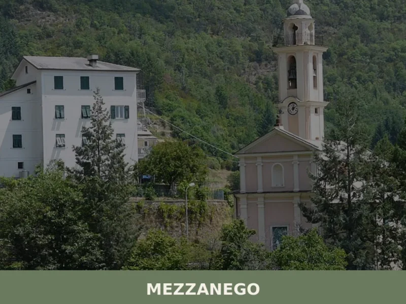
Mezzanego
What to see in Mezzanego? Discover the 5 main attractions, from historic churches to the Slate Museum. Plan your trip and visit this Ligurian village.
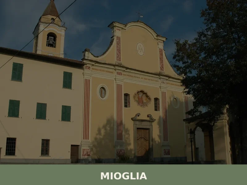
Mioglia
What to see in Mioglia, Italy: a village of 538 inhabitants 40 km from Genoa. Discover top attractions, local food, festivals and how to get there.
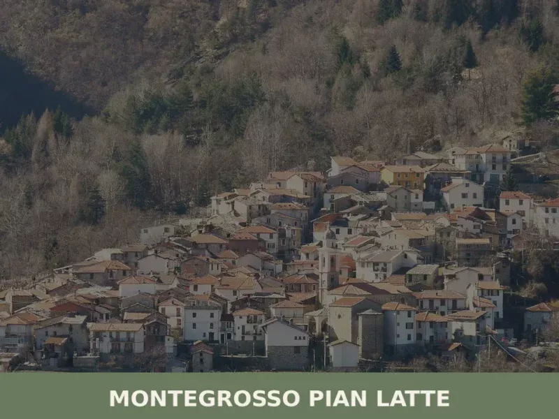
Montegrosso Pian Latte
What to see in Montegrosso Pian Latte, Italy? Discover this Ligurian village of 132 residents, explore its frazione Case Fascei, and the Alpi Liguri Park. Read our guide.
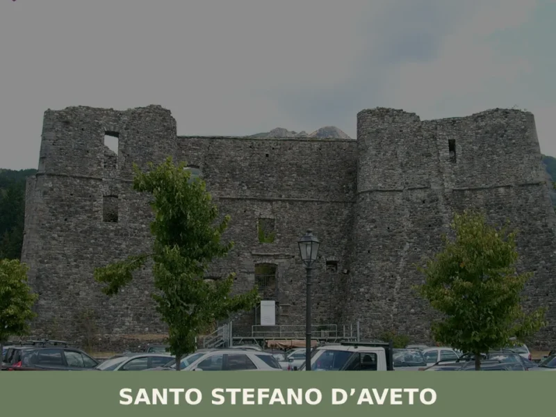
Santo Stefano d’Aveto
What to see in Santo Stefano d'Aveto? Discover the castle, hikes, and nearby villages with our complete guide to the Ligurian hinterland. Plan your trip now!
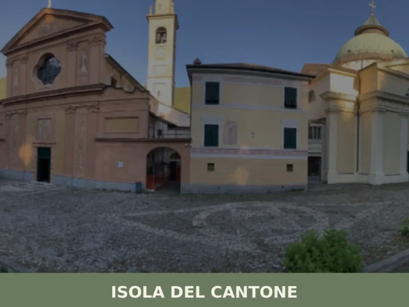
Isola del Cantone
what to see in isola del cantone (Genoa). Discover the Church of Saints Stephen and Innocent and the Old Bridge. Explore this village of 1385 inhabitants.
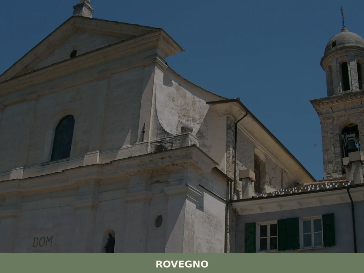
Rovegno
What to see in Rovegno, Italy: Explore the Val Trebbia, 35 km (22 mi) from Genoa. Discover its valley landscape and the surrounding municipalities. Read our guide.
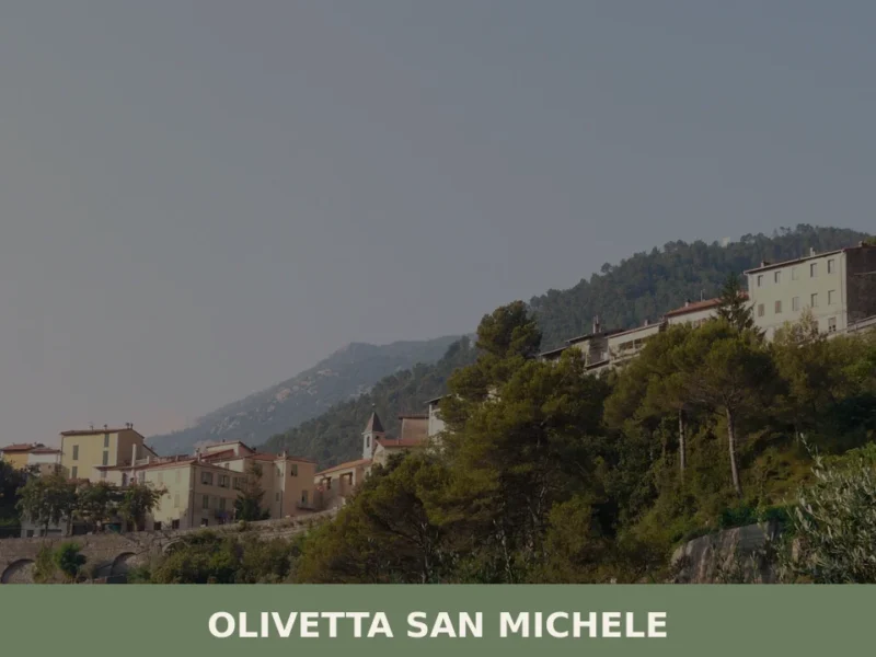
Olivetta San Michele
What to see in Olivetta San Michele? Discover 5 unique aspects of this Ligurian village, between history and nature. Read the full guide and plan your visit!
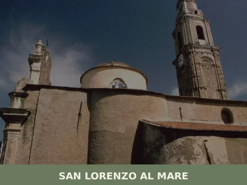
San Lorenzo al Mare
What to see in San Lorenzo al Mare, Italy: Discover its 1,380 inhabitants and coastal charm. Explore historic sites and the scenic Riviera dei Fiori. Plan your Ligurian trip.
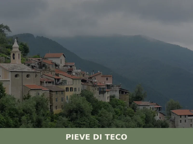
Pieve di Teco
What to see in Pieve di Teco, Liguria, Italy: explore 5 top attractions, local food, and how to get there. Population 1,411. Discover this Ligurian village.
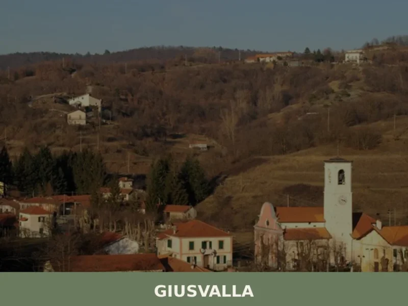
Giusvalla
What to see in Giusvalla, Italy: 465 inhabitants, 45 km from Genoa. Discover the Festa Patronale di S. Matteo, Bricco della Croce, and local Ligurian food traditions.


🏡 Know Prelà better than we do?
If you’re a local or have been there, your knowledge matters: add what’s missing or fix a detail on this page.