


Rocca di Cambio
What to see in Rocca di Cambio, Italy: explore the Abbey of Santa Lucia, Campo Felice ski resort and the Sirente-Velino Park. 495 inhabitants. Discover it now.
Discover Rocca di Cambio
Snow presses down on the limestone plateau well into April, and the road up from L’Aquila crosses stretches where the asphalt narrows to a single lane between rock walls.
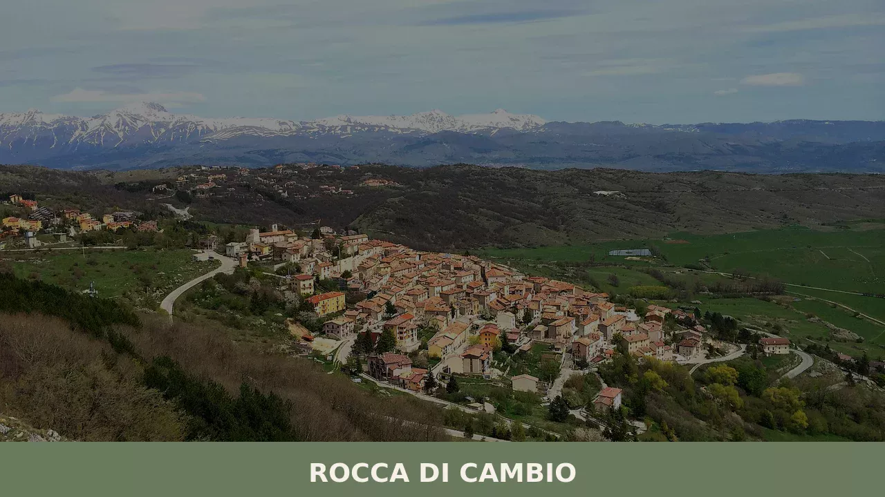
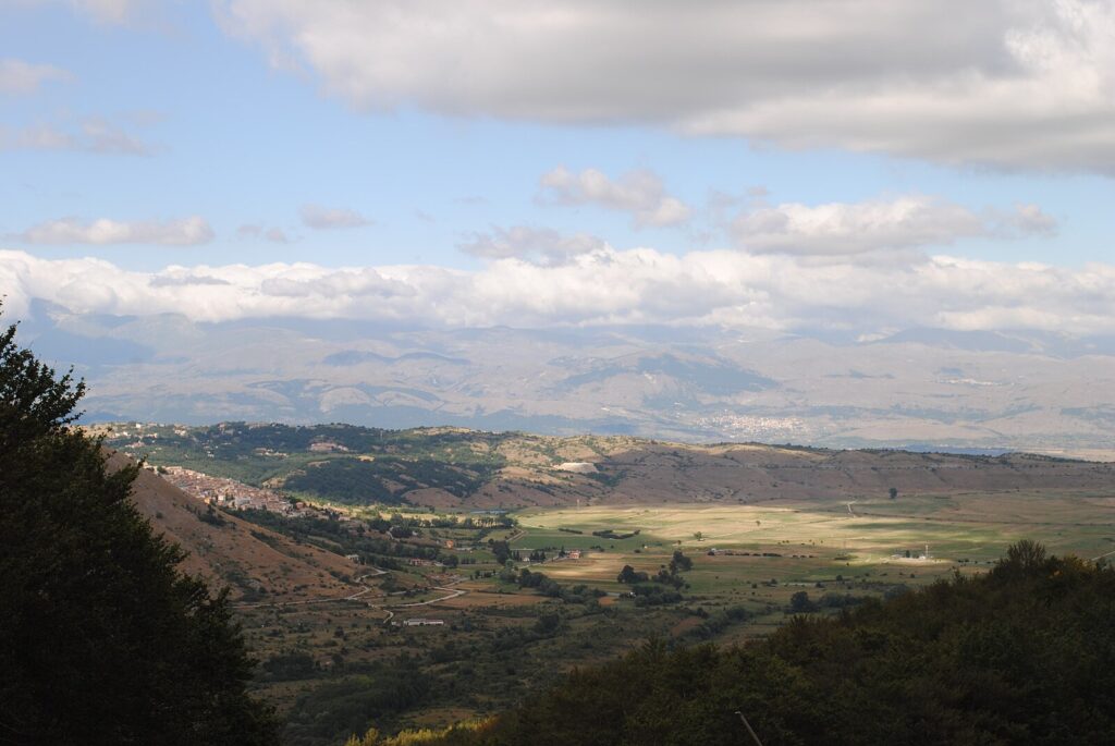
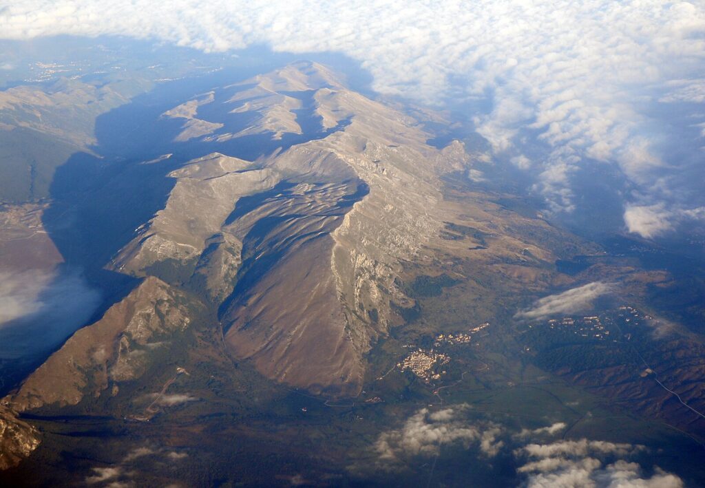
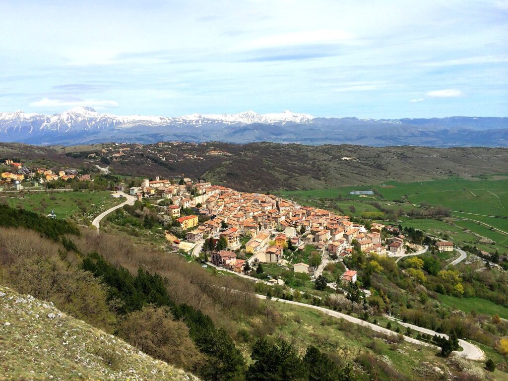
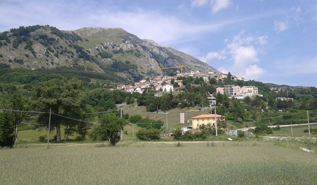
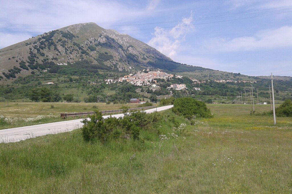
The Altopiano delle Rocche opens without warning: a broad, elevated plain at roughly 1,400 m (4,593 ft) above sea level, ringed by the ridgelines of the Sirente massif.
The local dialect still calls the village Rocche ‘i Cagne, a name worn smooth by generations of use in the province of L’Aquila.
Knowing what to see in Rocca di Cambio means understanding a place of 495 inhabitants whose communal territory falls entirely within the Sirente-Velino Regional Park.
The village sits in the northern section of the Altopiano delle Rocche, roughly 30 km (18.6 mi) from L’Aquila, and its two most documented attractions are the Abbey of Santa Lucia and the Campo Felice ski resort nearby. Visitors to Rocca di Cambio find a territory shaped by seismic history, mountain agriculture, and winter sports infrastructure concentrated in a small but geographically varied area.
History of Rocca di Cambio
The name Rocca di Cambio refers to the rocky character of the plateau on which the settlement stands.
Rocca in Italian denotes a fortified rocky promontory or stronghold, and the Altopiano delle Rocche — the plateau of the rocks — takes its name from precisely this landscape feature.
The territory has been inhabited since medieval times, when communities across the Abruzzo highlands organised themselves around elevated defensive positions that offered natural protection and visibility across the surrounding valleys. The province of L’Aquila, founded in the thirteenth century, drew many of these smaller settlements into its administrative orbit.
Through the early modern period, Rocca di Cambio remained a small agricultural and pastoral community.
The Altopiano delle Rocche served as summer grazing land for shepherds practising transumanza, the seasonal movement of livestock between lowland winter pastures and highland summer ones — a practice documented across Abruzzo for several centuries and central to the regional economy.
The village’s proximity to the Gran Sasso and Velino-Sirente massifs placed it within a corridor used by herders moving between coastal Adriatic plains and the interior highlands.
This pattern of land use shaped the built fabric of the village and the surrounding agricultural infrastructure.
The most recent chapter of the village’s documented history is tied to the 2009 L’Aquila earthquake, which struck on 6 April 2009 and caused severe damage across the province. The epicentre was located near the boundary between Rocca di Cambio and the neighbouring municipality of Lucoli, meaning the village absorbed considerable structural damage. Numerous buildings were damaged as a direct result, and the subsequent years saw reconstruction work alongside broader efforts to restore the built heritage of the area.
The earthquake left a documented mark on the physical fabric of the village that remains part of its recent history.
The twin-town relationship established with Saas-Fee, Switzerland — another mountain community with a ski culture — reflects the connections that highland settlements across Europe have developed around shared landscapes and winter tourism infrastructure.
What to see in Rocca di Cambio, Abruzzo: top attractions
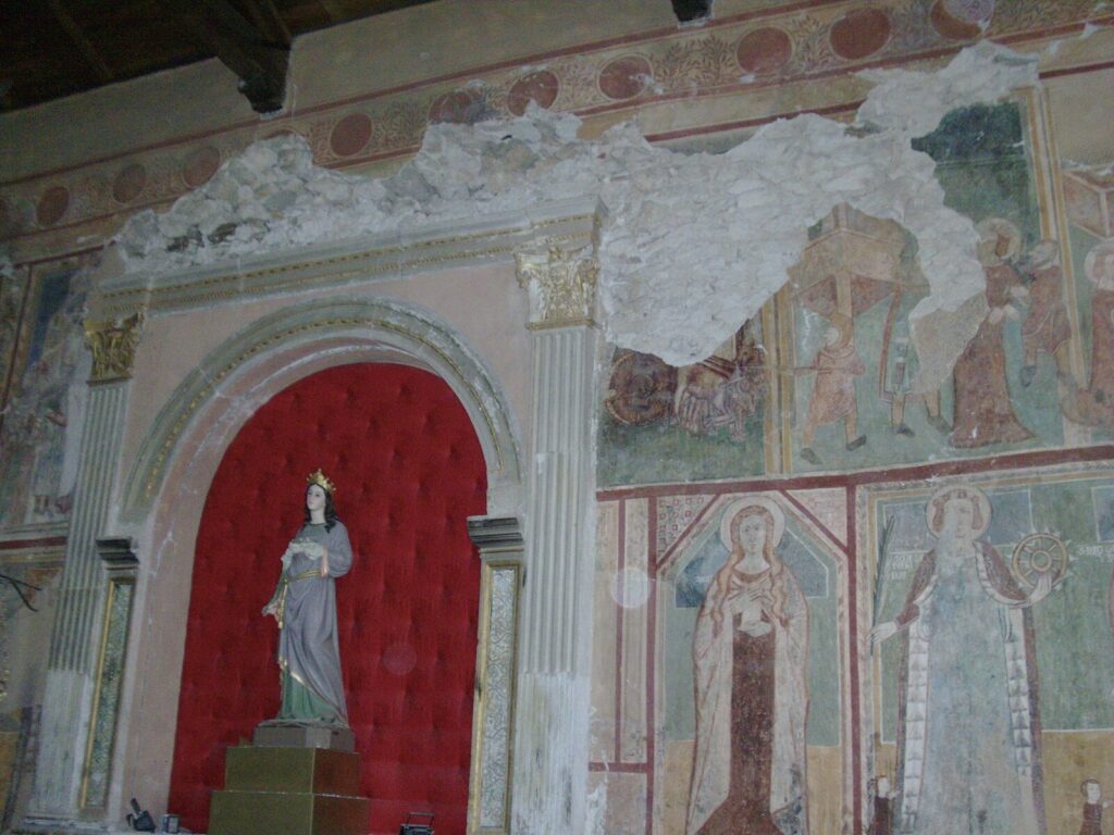
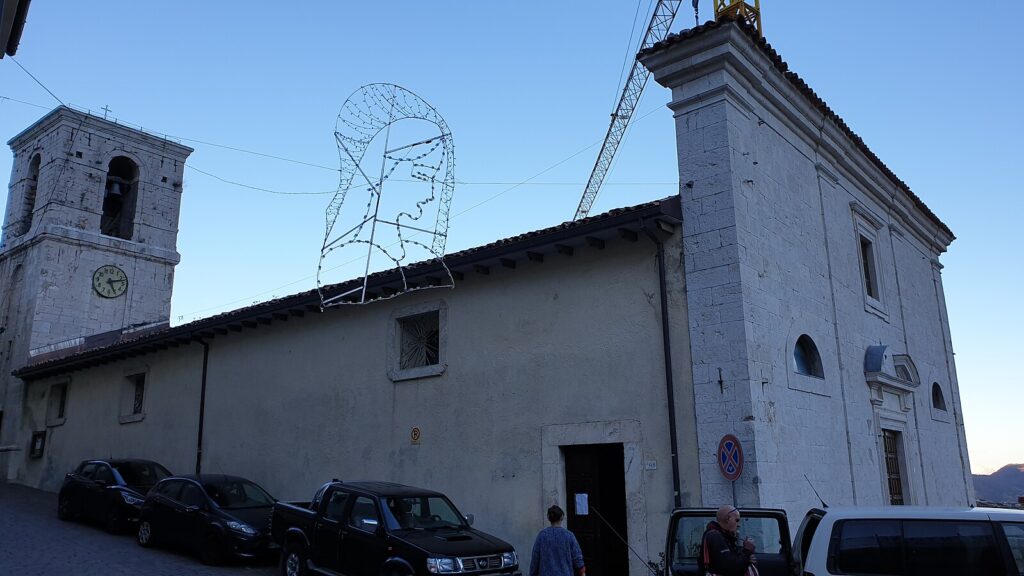
Abbey of Santa Lucia
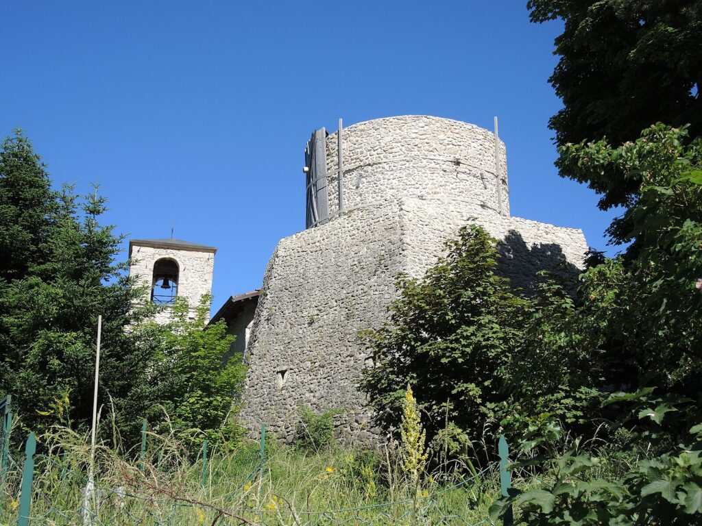
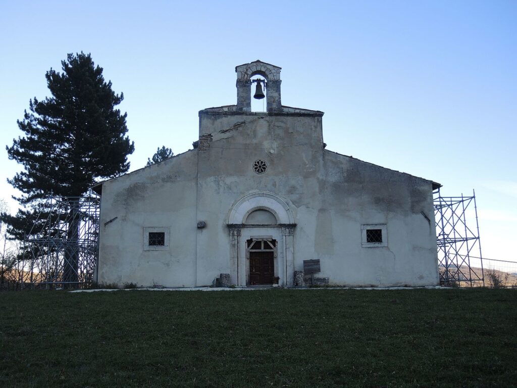
The Abbey of Santa Lucia is the primary religious monument within the village territory and the most frequently documented historic building in Rocca di Cambio.
The structure belongs to the ecclesiastical heritage of the Abruzzo highlands, where abbeys and small churches served both spiritual and organisational functions for dispersed mountain communities.
Standing in front of the building, visitors can observe the architectural forms typical of Abruzzo’s religious architecture: stone construction suited to the seismic and climatic conditions of the plateau.
The 2009 earthquake, whose epicentre lay on the boundary with Lucoli, affected buildings in this area, making the current state of the abbey an indicator of post-earthquake restoration efforts. It is worth visiting in daylight hours when the stone exterior is most clearly readable.
Sirente-Velino Regional Park
The entire communal territory of Rocca di Cambio falls within the , a protected area that covers a substantial portion of the central Apennines in the province of L’Aquila.
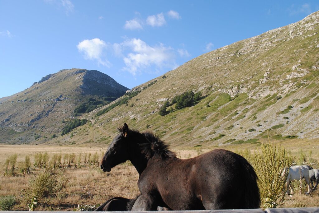
The park encompasses the Sirente massif, which reaches 2,349 m (7,707 ft), and the Velino massif, with Monte Velino at 2,487 m (8,159 ft). For visitors exploring what to see in Rocca di Cambio, the park provides direct access to walking trails, wildlife observation areas, and the open landscape of the Altopiano delle Rocche itself. The plateau at around 1,400 m (4,593 ft) provides a starting point for routes into higher terrain.
Spring and early summer, once the snow retreats, open the highest trails, while the park’s lower edges remain accessible through much of the year.
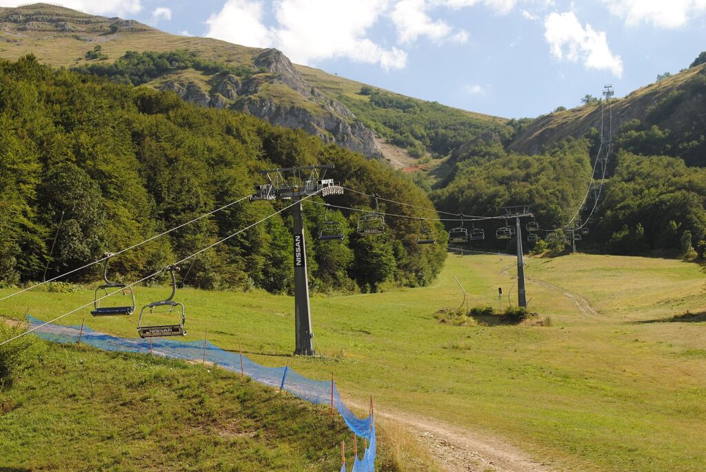
Campo Felice Ski Resort
The Campo Felice ski area lies in close proximity to Rocca di Cambio and is explicitly associated with the village in documented sources.
At an altitude reaching approximately 2,000 m (6,562 ft) at its upper lifts, Campo Felice is one of the more accessible ski destinations in central Italy, drawing visitors from Rome and L’Aquila throughout the winter season.
The resort’s infrastructure includes multiple ski lifts and a network of pistes suited to different ability levels. For international visitors, the connection between Rocca di Cambio and Campo Felice means the village functions as a practical base during the ski season, roughly from December through March depending on snow conditions.
The plateau’s exposure to cold air masses descending from the central Apennines contributes to a reliable snow cover compared to lower Abruzzo locations.
The Altopiano delle Rocche
The Altopiano delle Rocche, the elevated limestone plateau on which Rocca di Cambio sits, forms a landscape unit that is itself one of the most distinctive features of this part of the province of L’Aquila. The plateau extends at roughly 1,400 m (4,593 ft) and is bounded by the ridges of the Sirente massif to the south and east.
Its open character — broad grasslands interrupted by rocky outcrops and occasional stands of beech — makes it visually different from the enclosed valleys typical of much of Abruzzo.
In summer, the plateau supports grazing, and the remnants of pastoral infrastructure are visible across the terrain. For walkers and cyclists, the relatively flat central section offers routes that cover considerable distance without significant elevation gain, while the plateau edges drop into more dramatic terrain.
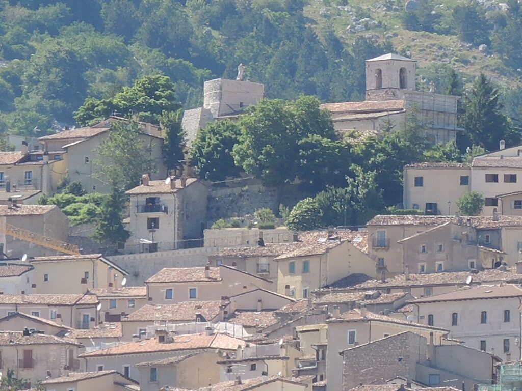
Village Architecture and Post-Earthquake Reconstruction
Rocca di Cambio’s built fabric carries the visible record of the 6 April 2009 L’Aquila earthquake, whose epicentre was documented at the boundary between this municipality and Lucoli — essentially at the village’s doorstep.
Walking through the settlement, visitors encounter buildings at different stages of reconstruction and consolidation, a process that has continued for well over a decade following the event. The village core, like many settlements on the Altopiano delle Rocche, uses local stone construction methods that reflect both the available materials and the structural demands of a seismically active area.
Understanding this layer of the village’s recent history adds context to what might otherwise appear as a simple mountain settlement.
The reconstruction also affected the Abbey of Santa Lucia, connecting the village’s religious and civic heritage directly to its seismic experience.
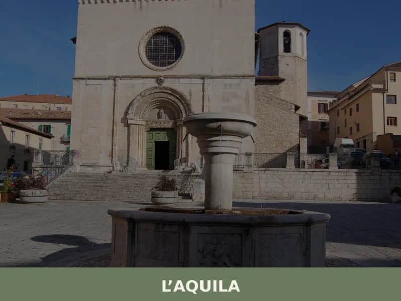
Those interested in L’Aquila, the provincial capital 30 km (18.6 mi) away, will find a parallel story of post-earthquake recovery at a much larger urban scale.
Local food and typical products of Rocca di Cambio
The gastronomy of Rocca di Cambio belongs to the broader culinary tradition of the mountain communities in the province of L’Aquila, where altitude, seasonal isolation, and pastoral land use have historically defined what people grew, raised, and ate. The Altopiano delle Rocche’s grazing land has long supported sheep farming, which underpins many of the most documented dishes of the Abruzzo highlands.
Winter months, when the plateau is snowbound and access from lower valleys is limited, historically encouraged the production and preservation of cured meats, dried legumes, and aged cheeses.
Among the dishes associated with this highland tradition, agnello alla cacciatora — lamb cooked with rosemary, garlic, white wine, and local olive oil — is one of the most documented preparations of the L’Aquila area.
Sheep raised on Apennine pastures produce meat with a distinct flavour profile linked to the herbs and grasses of the highland terrain.
Pasta alla pecorara, made with egg pasta and sheep’s cheese, represents another preparation rooted in the pastoral economy of the area. Polenta with pork-based condiments was historically a staple at altitude, where maize could not be grown locally but could be brought up from valley markets.
Zuppa di lenticchie, lentil soup cooked with local herbs and cured pork fat, is documented across the Abruzzo interior as a winter dish in mountain communities.
The province of L’Aquila sits within production zones for several well-documented Italian food products. Zafferano dell’Aquila (DOP) is the most geographically significant certified product of the area, produced in the plain of Navelli roughly 20 km (12.4 mi) from Rocca di Cambio.
This saffron designation covers a specific cultivation zone in the L’Aquila plateau and commands some of the highest prices of any saffron on the European market due to its documented colouring and flavouring intensity.
Pecorino cheeses produced in Abruzzo highland zones, while not always carrying a single named DOP tied to Rocca di Cambio specifically, form part of the documented dairy tradition of the Altopiano delle Rocche and the Sirente-Velino area.
For visitors, the most practical way to encounter local products is through the small shops and markets operating in the L’Aquila area, particularly in autumn when the season’s cured meats and cheeses reach maturity.
The ski season at Campo Felice brings a concentration of visitors to the plateau between December and March, and local restaurants in the area tend to reflect the mountain diet most clearly during this period, when hearty meat and legume dishes are most in demand.
Festivals, events and traditions of Rocca di Cambio
The religious calendar in Rocca di Cambio centres on Santa Lucia, the patron saint whose name the village abbey carries.
The feast of Santa Lucia falls on 13 December, a date that in mountain communities across central Italy marks one of the coldest and darkest periods of the year. In Abruzzo’s highland villages, the patron saint’s day is typically observed with a Mass, a procession through the village, and communal gathering.
The winter timing means the celebration occurs at the edge of the ski season, when the plateau is either already snowbound or approaching that condition, giving the day a particular character tied to the seasonal rhythm of mountain life.
The twin-town relationship with Saas-Fee in Switzerland, a mountain village of comparable scale with a well-established ski culture, points to the winter sports dimension of the community’s identity.
Saas-Fee sits at approximately 1,800 m (5,906 ft) in the Swiss Alps and, like Rocca di Cambio, built part of its modern economic identity around snow tourism.
This formal connection between the two municipalities suggests periodic exchanges and shared interests in mountain community development, though the specific events linked to this relationship are not separately documented in available sources.
When to visit Rocca di Cambio, Italy and how to get there
The best time to visit depends directly on what you want to do. For skiing at Campo Felice, the operative window runs from December to late March, with peak conditions typically in January and February when snow cover on the plateau is most reliable.
For walking and exploring the Sirente-Velino Regional Park, late May through September offers the clearest conditions and accessible trails at altitude, with July and August bringing the warmest temperatures but also the highest visitor numbers on weekends.
Those who prefer the plateau with fewer visitors should consider late May or early June, when wildflowers cover the lower sections of the Altopiano delle Rocche and the trails above 1,800 m (5,906 ft) are largely snow-free.
Autumn, particularly October, brings stable weather and the start of the sheep-cheese and cured-meat season in the valley markets.
Rocca di Cambio, Abruzzo, Italy sits approximately 30 km (18.6 mi) from L’Aquila, making it a realistic day trip from the provincial capital or, for those travelling from Rome, a destination reachable in around 2 hours by car. From Rome, the most direct route uses the A24 motorway (Roma-L’Aquila-Teramo), with the L’Aquila Ovest exit being the most practical point of departure toward the plateau road.
The total driving distance from Rome to Rocca di Cambio is approximately 130 km (80.8 mi).
The nearest commercial airport is Rome Fiumicino (Leonardo da Vinci), approximately 160 km (99.4 mi) away, from which a rental car is the most functional option for reaching the village.
The nearest train connection is L’Aquila railway station, served by Trenitalia regional services from Rome Tiburtina (approximately 1 hour 40 minutes by direct intercity train); from L’Aquila, local bus services or a car are required to cover the remaining 30 km (18.6 mi) to the plateau.
For international visitors, it is worth noting that English is not widely spoken in the smaller shops and restaurants of the Altopiano delle Rocche, and carrying cash in euros remains practical since card payment infrastructure in mountain villages can be limited.
Travellers combining Rocca di Cambio with a broader circuit of the Abruzzo interior can add a stop at Palena, a village in the southern part of the province that sits within the Majella National Park territory and offers a different but complementary experience of Abruzzo mountain life.
For those approaching from the Sangro valley direction, Bomba marks the edge of a reservoir landscape that contrasts with the open plateau of the Rocche.
Those interested in smaller medieval settlements should also consider Pennadomo, which sits in the Aventino valley and illustrates a different facet of the province’s built heritage.
📷 Photo Gallery — Rocca di Cambio
Nearby Villages near Rocca di Cambio
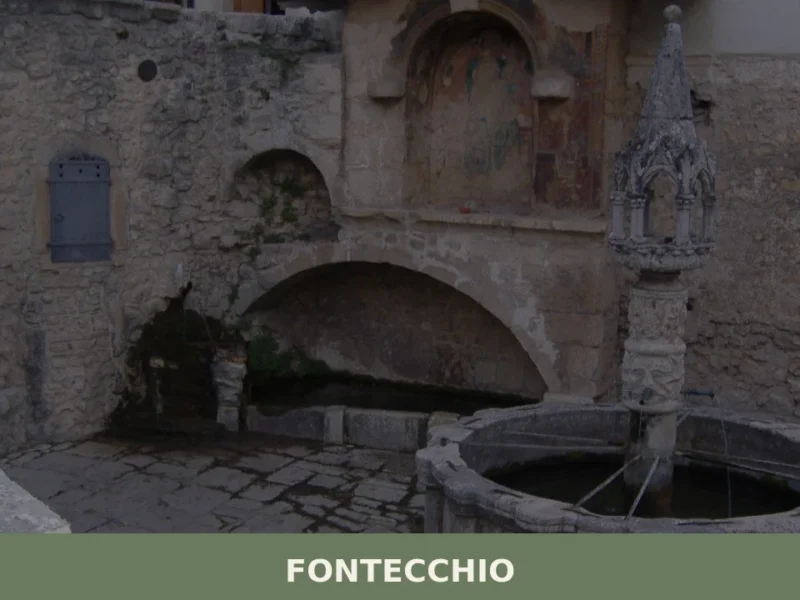
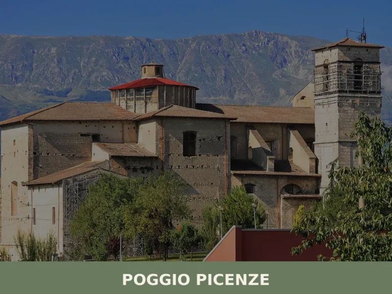
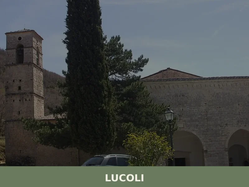
In Abruzzo More villages to discover
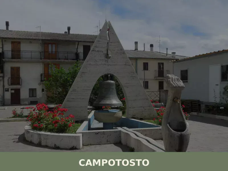
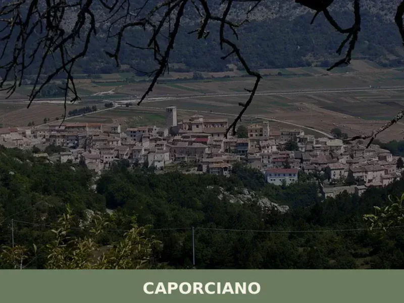
Campotosto
At 1,420 metres beside one of Europe's largest artificial lakes, Campotosto offers wild Apennine landscapes, cured mortadella, and trails into the Gran Sasso National Park.
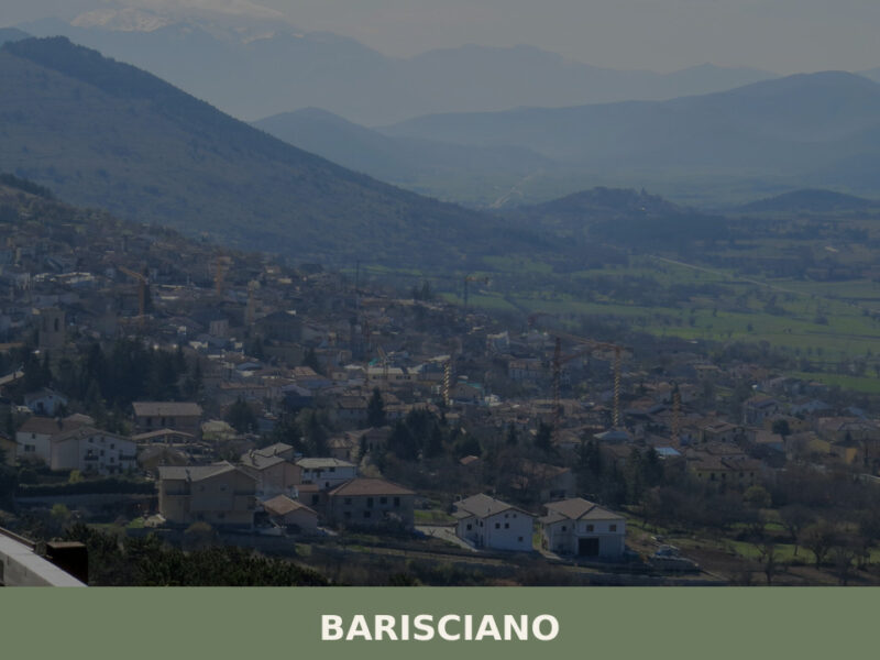
Barisciano
A high-altitude village on the Piana di Navelli, Barisciano holds Roman ruins, Franciscan cloisters, and centuries of Abruzzo history written in stone.
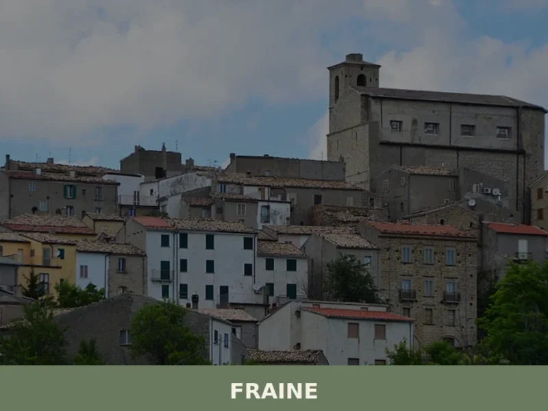
Fraine
At 751 meters above sea level, in the Chieti area, lies Fraine, a municipality with a population of 261 inhabitants. This village, whose history dates back to the 10th-11th century, serves as an observation point over the Alto Vastese territory. For those wondering what to see in fraine, the town offers a journey through the […]
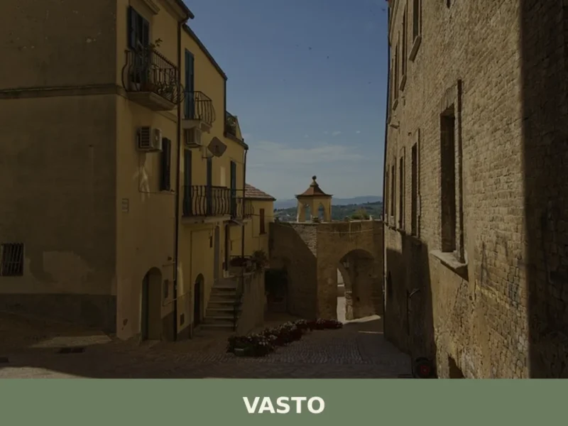
Vasto
With 40,692 inhabitants, Vasto stands on the Abruzzo Adriatic coast, a town that from its promontory at 144 meters above sea level observes a stretch of sea that was a crossroads of cultures and trades. For those wondering what to see in vasto, the answer unfolds among Roman vestiges, Renaissance architecture, and views of the […]
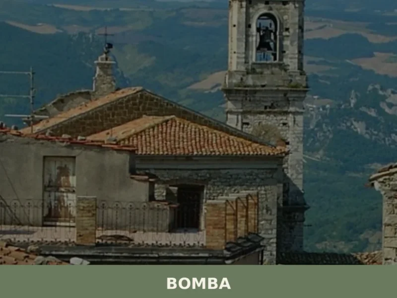
Bomba
The artificial lake that bears its name, created in 1958 by damming the River Sangro, redefined the geography and economy of Bomba, a municipality of 719 inhabitants in the province of Chieti, at 424 metres above sea level. The reservoir occupies the valley below and today represents one of the key points of interest for […]
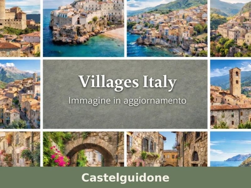
Castelguidone
Castelguidone has 294 inhabitants and occupies a ridge at 775 metres above sea level in the upper Trigno valley, on the border between Abruzzo and Molise. The place name, documented in Angevin records from the 13th century, points to a fortified settlement linked to a feudal lord named Guidone. Anyone looking for what to see […]
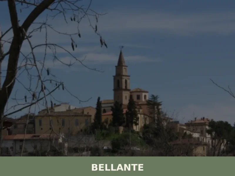
Bellante
The road into Bellante rises through a sequence of switchbacks that open, at the last bend, onto a compact hilltop settlement in the Teramo hills of Abruzzo. Stone buildings press close against one another along the ridge, and the Torre Civica — the civic tower at the center of the old settlement — marks the […]
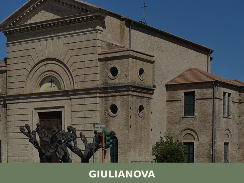
Giulianova
In 1470, Duke Giuliantonio Acquaviva refounded the ancient settlement of Castel San Flaviano on a hill 68 metres above sea level, giving it his own name: Giulianova. The urban layout he commissioned — a regular grid with a central square and symmetrical blocks — is one of the earliest documented examples of an ideal Renaissance […]
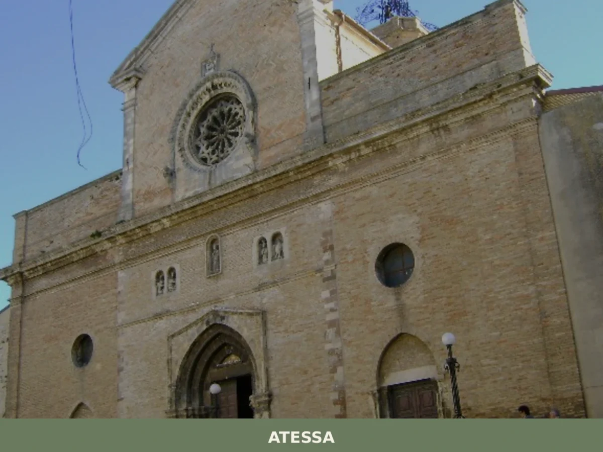
Atessa
What to see in Atessa, Abruzzo, Italy: explore the Cathedral of San Leucio, the Pallanum archaeological park, and a 17th-century historic centre spanning 11,003 hectares. Discover it all.
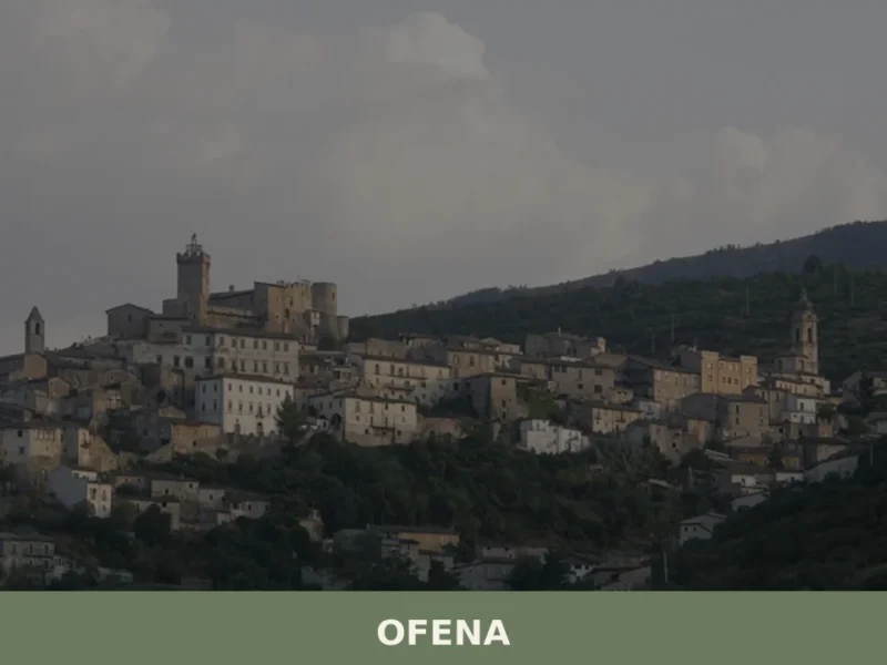
Ofena
What to see in Ofena, Italy: Explore its historical significance as Aufinium and the Gran Sasso e Monti della Laga National Park. This village of 517 inhabitants offers a journey into Abruzzo's past. Read our guide.


🏡 Know Rocca di Cambio better than we do?
If you’re a local or have been there, your knowledge matters: add what’s missing or fix a detail on this page.