


Rondanina
What to see in Rondanina, Italy: 67 inhabitants, 30 km from Genoa, inside Parco dell’Antola. Discover top attractions, local food and how to get there.
Discover Rondanina
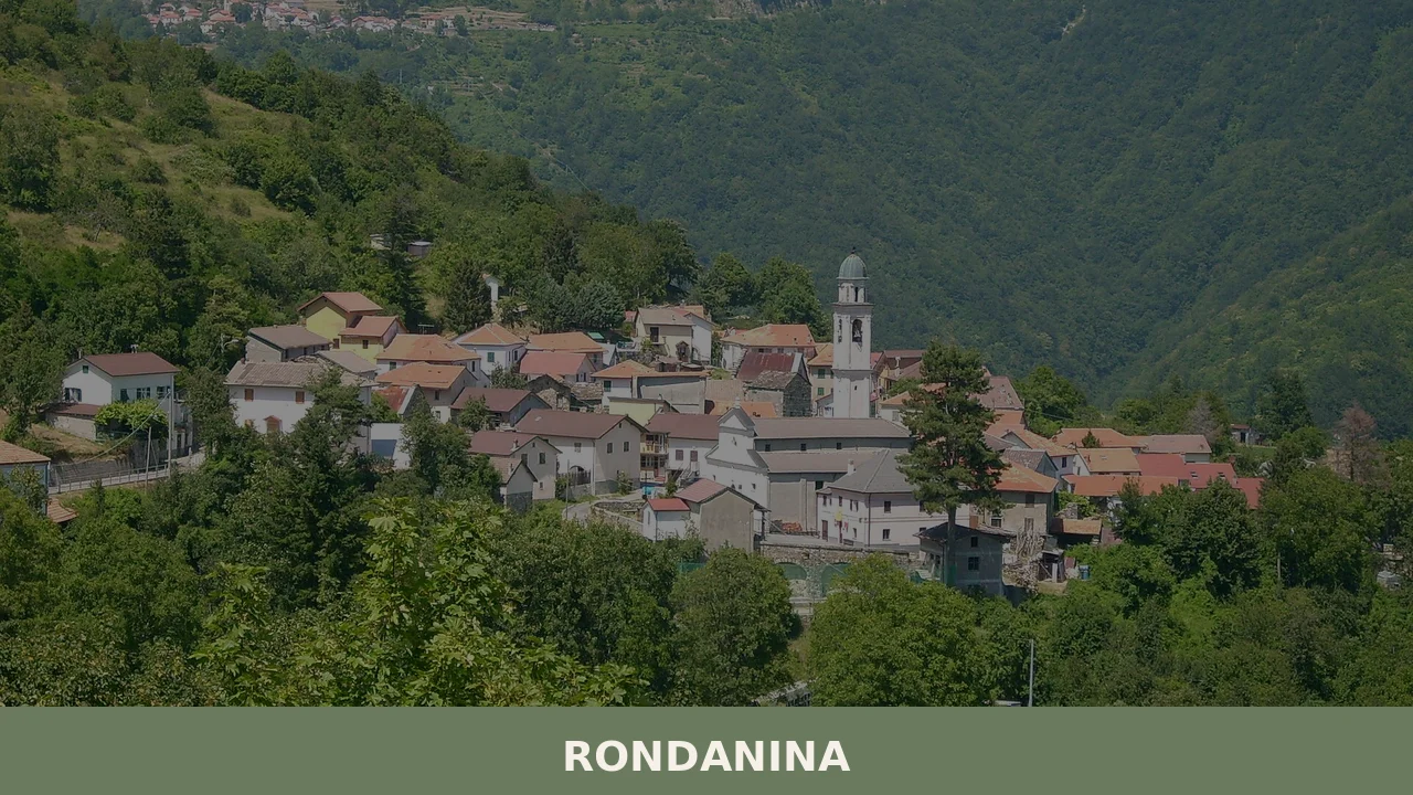
The Ligurian Apennines press close here, the ridgelines running north to south in parallel folds that funnel cloud and wind down into narrow valley floors. Rondanina sits at the edge of one such fold, about 30 kilometres (19 mi) northeast of Genoa, a comune — the smallest unit of Italian municipal government — with just 67 registered inhabitants.
The houses are compact, the lanes narrow, and the surrounding slopes belong to the Parco Naturale Regionale dell’Antola, a protected territory of forest, pasture and ridge path that defines the daily texture of life in this corner of the Metropolitan City of Genoa.
Knowing what to see in Rondanina means understanding a place built around its landscape rather than its monuments.
The village sits approximately 30 km (19 mi) from Genoa, making it accessible as a day trip from the Ligurian capital, and it draws visitors primarily for its position inside the regional park, its network of hiking routes across the Antola massif, and the Ligurian hill-country food culture that survives in local kitchens and seasonal markets.
Visitors to Rondanina find a settlement that functions as a base for outdoor activity and as a direct encounter with how small Apennine communities have organised themselves for generations.
History of Rondanina
The name Rondanina — rendered in Ligurian as Rondaninn-a — belongs to a cluster of small Apennine settlements in the inland zone of the Genoese hinterland that developed during the medieval period as part of the feudal and ecclesiastical networks radiating out from Genoa. The suffix structure of the name suggests a diminutive form, a linguistic habit common in Ligurian toponymy where settlements were distinguished from larger or older neighbouring centres by size or by the particular character of the site.
The Ligurian dialect form Rondaninn-a preserves a pronunciation pattern that has largely disappeared from urban Genoese speech but persists in these inland valleys.
Throughout the medieval and early modern periods, the inland communes of the Genoese territory functioned as supplier communities for the port city, sending timber, charcoal, chestnuts and livestock down through the passes and valleys toward the coast.
Rondanina’s position in this network placed it within a system of rural podestà — local administrative authority delegated from Genoa — that shaped land use, taxation and communal obligations across the Ligurian Apennines for several centuries. The village remained part of the broader Genoese administrative sphere through the Republic of Genoa’s long history, and later passed into the structures of the Napoleonic reorganisation of Liguria and then into unified Italy after 1861.
The twentieth century brought significant depopulation to communities of this type throughout the Ligurian interior. The combination of agricultural mechanisation, the pull of industrial employment in Genoa, and the general movement of rural populations toward coastal and urban centres reduced Rondanina’s resident population to its current figure of 67 inhabitants.
This demographic contraction, documented across the whole arc of the Ligurian Apennines, has paradoxically preserved the built fabric of the village and the surrounding land from intensive development, leaving the settlement and its parkland context substantially intact.
Villages in broadly similar geographic and historical positions, such as Lumarzo in the Ligurian interior, share this pattern of medieval origins, Genoese administrative history and twentieth-century rural contraction.
What to see in Rondanina, Liguria: top attractions
Parco Naturale Regionale dell’Antola
The park boundary runs directly through and around Rondanina, making the protected area the defining feature of any visit. Established to conserve the Apennine ecosystems of the Genoese hinterland, the covers a territory of forests dominated by chestnut, oak and beech, with open ridge pastures above the treeline. The park’s trail network connects multiple summits and valley floors, and Rondanina serves as one of the access points for routes heading toward Monte Antola, which reaches 1,597 m (5,240 ft).
Visitors approaching the trailheads from the village will cross pasture land that grades into denser woodland within the first kilometre of walking.
Monte Antola Summit Trail
At 1,597 m (5,240 ft), Monte Antola is the highest point in the provincial territory of Genoa and the focal summit of the regional park.
The trail system ascending toward the summit passes through a sequence of vegetation bands — chestnut woodland giving way to beech forest, then open grassland on the upper slopes — that makes the elevation gain visible as a direct ecological progression. The ridge at the top offers clear orientation across the Ligurian and Po valley sides of the Apennine watershed, a geographic fact that explains why the mountain was used as a reference point by travellers and shepherds moving between coastal Liguria and the Po plain.
The trail is best attempted in late spring or early autumn when snow has cleared from the upper sections and summer heat has not yet settled.
The Village Core and Its Stone Architecture
Rondanina’s built fabric follows the compact layout typical of Ligurian Apennine settlements, where houses are grouped tightly to preserve agricultural and pasture land around the perimeter. The local building material is the grey-green stone of the Apennine geology, cut and laid in the irregular courses characteristic of vernacular construction in this zone.
The street-level passages between buildings are narrow enough that natural light reaches the ground only at certain angles during winter months, a practical response to the wind exposure of the ridge position rather than a decorative choice. Walking through the village core, visitors can observe how roof lines, drainage channels and wall thicknesses reflect centuries of adaptation to a specific mountain climate with heavy winter precipitation.
The Parish Church of Rondanina
Like virtually every Ligurian Apennine settlement of comparable scale, Rondanina has a parish church that has functioned as the architectural and social centre of the community.
The church building reflects the pattern of construction and successive modification common to rural Ligurian churches: a nave proportioned to a small congregation, a campanile providing both a visual landmark and the practical function of marking time and summoning the community, and an interior with devotional objects accumulated over generations of parish life.
The church is most actively used during the feast of the patron saint, when the resident and non-resident population of the village assembles. The exact dedication of the church and its construction date are best verified through the parish records or a visit to the building directly.
The Road from Genoa and the Apennine Landscape Approach
The 30 km (19 mi) drive northeast from Genoa is itself one of the most instructive ways to understand what to see in Rondanina, because it traces the transition from the dense urban fabric of the Ligurian coast through increasingly steep and wooded Apennine terrain.
The route gains several hundred metres of elevation over its final section, and the road narrows progressively as it approaches the village. This approach clarifies the logic of Rondanina’s position: it sits at the point where the valley road becomes a track, at the edge of the territory that was accessible by wheeled vehicle and the territory that required foot or pack animal.
The landscape on this approach is dominated by chestnut woodland with scattered farmsteads, many now seasonally occupied or unoccupied.
Local food and typical products of Rondanina
The food culture of Rondanina belongs to the broader tradition of the Ligurian Apennine interior, a cooking tradition shaped by the products of chestnut woodland, mountain pasture and the limited arable land of the valley floors.
This is not coastal Ligurian cuisine: there is no fish, no seafood, and the olive oil that characterises the Riviera diet gives way at this altitude to lard and butter in older recipes, and to extra-virgin oil brought up from the coast in more recent practice. The culinary logic here is one of preservation and caloric density, developed for a population engaged in physical agricultural and forestry labour across cold winters and short growing seasons.
The chestnut is the foundational ingredient of Apennine Ligurian cooking, and Rondanina’s surrounding woodland is predominantly chestnut. Castagnaccio — a flat, dense cake made from chestnut flour, olive oil, rosemary and pine nuts, baked without added sugar — is the most direct expression of this dependence, its bitter-sweet flavour coming entirely from the flour and the rosemary.
Panigacci, thin unleavened discs cooked on terracotta plates over an open flame, are eaten with local soft cheeses or cured meats and represent a form of bread-making that predates wheat cultivation in the valley.
Testaroli, a similar flatbread cooked in cast-iron moulds, is dressed with pesto or walnut sauce and serves as both a first course and a portable field food in its historical context. These preparations use techniques of direct-heat cooking on stone or iron that require no oven infrastructure, consistent with the domestic arrangements of small Apennine farmhouses.
The cheese tradition of the Ligurian Apennines relies on the mixed-grazing herds that move between valley pastures in winter and the high grasslands in summer. Fresh cow and goat cheeses, aged for varying periods in cool stone cellars, are produced by the remaining farm households in the area around Rondanina.
These cheeses are not commercially distributed at scale but appear at local markets and farm sales.
The agriturismo — a farm offering accommodation and meals using its own or locally sourced produce — is the most reliable context in which visitors will encounter this food tradition as a coherent meal rather than as individual purchased items. The village of Lorsica, a few valleys to the east, sits within the same Apennine food zone and its local market offers comparable seasonal products from the same agricultural tradition.
The autumn months — September through November — are the period when chestnut products are most available and when the local food calendar is most active. Chestnut harvesting begins in late September and continues through October, and small informal markets and community events in the villages of the Antola park area tend to concentrate in this season.
Buying chestnut flour directly from a local producer at this time of year is possible in some of the park-area communities, and the flour can be identified by its grey-beige colour and faintly sweet, slightly smoky smell.
Festivals, events and traditions of Rondanina
Rondanina’s event calendar follows the liturgical pattern common to all small Ligurian Apennine communes: the central annual occasion is the feast day of the parish’s patron saint, which draws both the resident population and the significant number of former residents and their descendants who return to the village for this occasion.
These patronal feasts in the Ligurian interior typically involve a religious procession through the village streets, a Mass in the parish church, and communal eating outdoors or in the village’s public spaces. The specific date of Rondanina’s patronal feast is linked to the church’s dedication and is best confirmed through the municipal administration or the parish directly before planning a visit around it.
Beyond the patronal feast, the autumn harvest period generates informal community activity across the park-area villages, including Rondanina.
Chestnut gathering — the raccolta delle castagne — is a collective activity with practical and social dimensions, bringing households and neighbours into the woodland together during October. This is not a formally organised festival but a working tradition that visitors who arrive in autumn may observe and, in some cases, participate in if they are guests at a local farm. The proximity to the Parco Naturale Regionale dell’Antola means that some events organised by the park authority, including guided walks and naturalist excursions, are accessible from Rondanina during the spring and summer months.
When to visit Rondanina, Italy and how to get there
The best period to visit Rondanina depends on the purpose of the visit.
For hiking on the Monte Antola trail network and the wider park routes, late May through June and mid-September through October offer the most reliable conditions: the upper slopes are clear of snow, temperatures at altitude range between 10°C and 22°C (50°F and 72°F), and the woodland vegetation is at its most visually distinct — fresh green in late spring, turning yellow and rust in autumn.
July and August bring higher temperatures and the possibility of afternoon thunderstorms on the ridges, which require attention when planning summit routes. Winter visits are possible for those interested in the village itself and in snowshoeing on the lower park trails, but road conditions above 600 m (1,969 ft) can be affected by ice and snow from December through February.
Rondanina is located approximately 30 km (19 mi) northeast of Genoa, and the most practical way to reach it is by car. From Genoa, take the A7 motorway toward Milan and exit at Busalla, then follow the provincial roads northeast toward the Antola park area, a total drive of roughly 45 to 55 minutes depending on traffic on the Genoa approach. There is no direct rail connection to Rondanina itself; the nearest railway station with useful connections is Busalla, served by Trenitalia on the Genoa–Milan line, approximately 15 km (9.3 mi) from the village by road.
From Genoa Cristoforo Colombo Airport, the drive to Rondanina takes approximately 50 to 65 minutes via the A7 and the Busalla exit.
International visitors arriving at Milan Malpensa Airport face a drive of approximately 160 km (99 mi), making Rondanina a practical destination for a day trip from Genoa rather than from Milan. English is not widely spoken in smaller local shops and restaurants; carrying euro cash is advisable, as card payment infrastructure in very small Apennine villages is not always reliable.
For those planning a broader tour of the Ligurian interior, Rondanina pairs well with a stop at Magliolo, a similarly scaled Ligurian commune that offers comparable insight into the building traditions and landscape of the western Ligurian Apennines.
The drive between the two requires returning toward the coast and then heading west, so combining them in a single day requires an early start from Genoa.
Visitors with more time in the region might also consider a detour to Cosseria, a village in the Savona hinterland that sits within the same broad arc of Ligurian Apennine settlement and shares the agricultural and architectural patterns visible at Rondanina.
Frequently asked questions about Rondanina
What is the best time to visit Rondanina?
The best time to visit Rondanina for outdoor activities is late spring (May-June) or early autumn (September-October). During these periods, the Monte Antola trails are clear of snow, and the temperatures are pleasant for hiking. For a cultural experience, plan your visit around August 24th, when the village celebrates its patron saint, San Bartolomeo, with local festivities. Summer offers warmer weather for exploring the park, while winter brings heavy precipitation, making it less ideal for general tourism unless specifically seeking snow activities.
What are the historical origins of Rondanina?
Rondanina's origins trace back to the medieval period, developing as part of the feudal and ecclesiastical networks linked to Genoa. Historically, it served as a supplier community for the port city, providing timber, charcoal, chestnuts, and livestock. The village remained within Genoa's administrative sphere through the Republic's history, later passing into Napoleonic and unified Italian structures. The 20th century saw significant depopulation, which paradoxically preserved the village's traditional architecture and surrounding landscape from intensive development.
What to see in Rondanina? Main monuments and landmarks
In Rondanina, visitors can explore the compact Village Core, characterized by its traditional grey-green stone architecture, reflecting centuries of adaptation to the mountain climate. The Parish Church of Rondanina stands as the architectural and social heart of the community, actively used during the patron saint's feast on August 24th. While specific opening hours for the church are not fixed, it's generally accessible during services or by local inquiry. The entire village, nestled within the Parco Naturale Regionale dell'Antola, functions as a living landmark illustrating Apennine community life.
What are the main natural or scenic attractions of Rondanina?
Rondanina's primary natural attraction is the surrounding Parco Naturale Regionale dell'Antola. The park offers extensive forests of chestnut, oak, and beech, alongside high-altitude pastures and a vast network of hiking trails. A highlight is the Monte Antola Summit Trail, leading to the highest peak in Genoa province (1,597 m), offering panoramic views across the Ligurian and Po valley sides of the Apennine watershed. The scenic drive from Genoa also provides a beautiful introduction to the Apennine landscape, transitioning through increasingly wild terrain.
Where to take the best photos in Rondanina?
For breathtaking panoramic shots, the summit of Monte Antola (1,597 m) provides expansive views across the Ligurian and Po valley watersheds. Within Rondanina itself, the narrow lanes and compact stone houses of the Village Core offer picturesque scenes, capturing centuries of traditional Apennine architecture. The scenic approach road from Genoa, with its progressively narrowing turns and chestnut woodlands, also presents excellent opportunities to photograph the transition from coastal urban areas to the wild Ligurian Apennine landscape.
Are there museums, churches or historic buildings to visit in Rondanina?
Yes, visitors can explore the Parish Church of Rondanina, which serves as the historic and social focal point of the community. While specific visiting hours are not provided, it is most active during religious services and the patron saint's feast on August 24th. Additionally, the entire Village Core, with its distinctive grey-green stone architecture and compact layout, functions as a living historic site, showcasing centuries of adaptation to the mountain environment. No museums are documented for Rondanina.
What can you do in Rondanina? Activities and experiences
Rondanina is primarily a base for outdoor activities, especially hiking within the Parco Naturale Regionale dell'Antola. Visitors can explore the extensive network of trails, including routes leading to Monte Antola (1,597 m). Beyond hiking, you can immerse yourself in the authentic atmosphere of the compact Village Core, observing its unique stone architecture. Engaging with the local Ligurian hill-country food culture, by trying traditional dishes like Castagnaccio or Testaroli, offers a direct encounter with generations of Apennine community life.
Who is Rondanina suitable for? Families, couples, hikers, solo travelers?
Rondanina is ideal for hikers, nature enthusiasts, and those seeking an authentic immersion in Ligurian Apennine culture. It serves as an excellent base for solo travelers, couples, and active families keen to explore the extensive trail network of the Parco Naturale Regionale dell'Antola. Visitors interested in traditional mountain food, vernacular architecture, and a quiet escape from urban life will find Rondanina particularly appealing, offering a direct encounter with a small, well-preserved Apennine community.
What to eat in Rondanina? Local products and specialties
The cuisine of Rondanina reflects the Ligurian Apennine interior, heavily relying on local products like chestnuts. Specialties include Castagnaccio, a dense, unsweetened cake made from chestnut flour, olive oil, rosemary, and pine nuts. You can also savor Panigacci, thin unleavened discs cooked on terracotta and typically served with local soft cheeses or cured meats. Another local flatbread is Testaroli, cooked in cast-iron moulds and often dressed with pesto or walnut sauce. Fresh cow and goat cheeses, produced by local farm households, are also a distinctive regional product.
📷 Photo Gallery — Rondanina
Getting there
Piazza San Bartolomeo, 16025 Rondanina (GE)
Nearby Villages near Rondanina
In Liguria More villages to discover
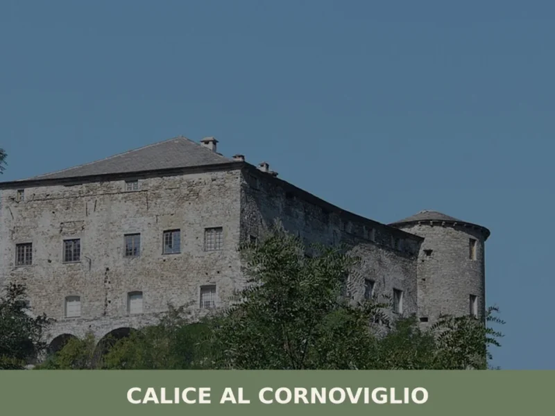
Calice al Cornoviglio
Discover Calice al Cornoviglio: medieval castle, baroque church, and historic village. Explore Ligurian hinterland's history and nature.
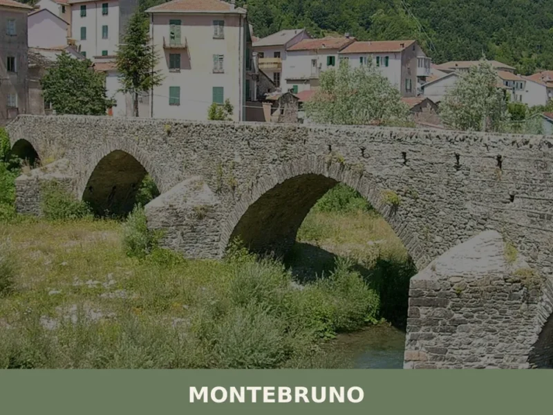
Montebruno
What to see in Montebruno, Italy: a mountain village at 655 m (2,149 ft) near Genoa. Discover the Marian sanctuary, Antola park trails and the 8 September feast.
Ranzo
What to see in Ranzo, Liguria, Italy: explore a village of 550 inhabitants, 80 km from Genoa. Discover top attractions, local food, and how to get there.
Orero
What to see in Orero, Italy: Explore a Ligurian village at 400 m (1,312 ft) altitude. Discover the 17th-century Sant'Ambrogio Church and the autumn Chestnut Festival. Read our guide.
Castelvecchio di Rocca Barbena
What to see in Castelvecchio di Rocca Barbena, Liguria, Italy: explore a 9th-century castle, 166 inhabitants, 70 km from Genoa. Discover top attractions and travel tips.
Olivetta San Michele
What to see in Olivetta San Michele? Discover 5 unique aspects of this Ligurian village, between history and nature. Read the full guide and plan your visit!
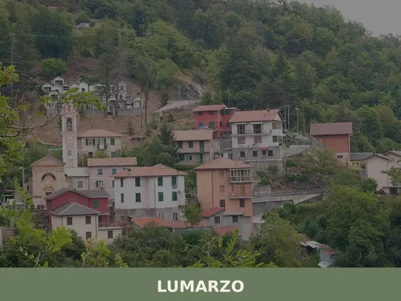
Lumarzo
What to see in Lumarzo: a Ligurian village at 228m with 1,419 residents, historic oratories, Fontanabuona valley trails and the Saint Camillus feast. Plan your visit now.
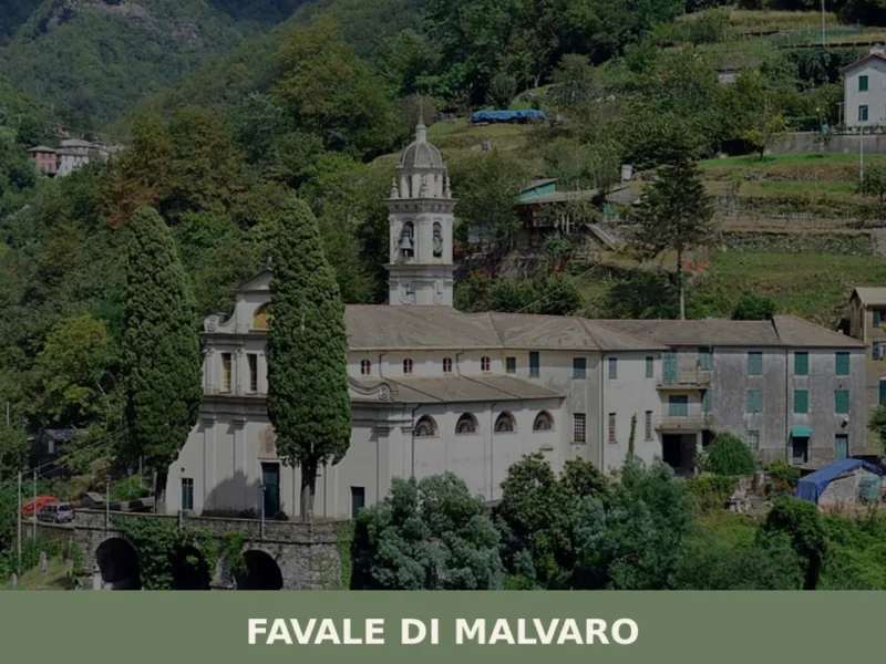
Favale di Malvaro
In 1892, Amadeo Pietro Giannini left Favale di Malvaro for America. The son of Ligurian emigrants, he went on to found the Bank of Italy in San Francisco in 1904, which later became Bank of America — for decades the largest banking institution in the world. This small village in the Fontanabuona valley, home to […]
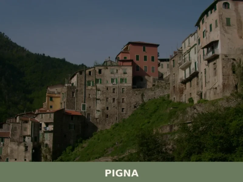
Pigna
What to see in Pigna: Explore this Ligurian village, home to 741 inhabitants, its historic tower, and ancient bridge. Discover Italy's rich past.
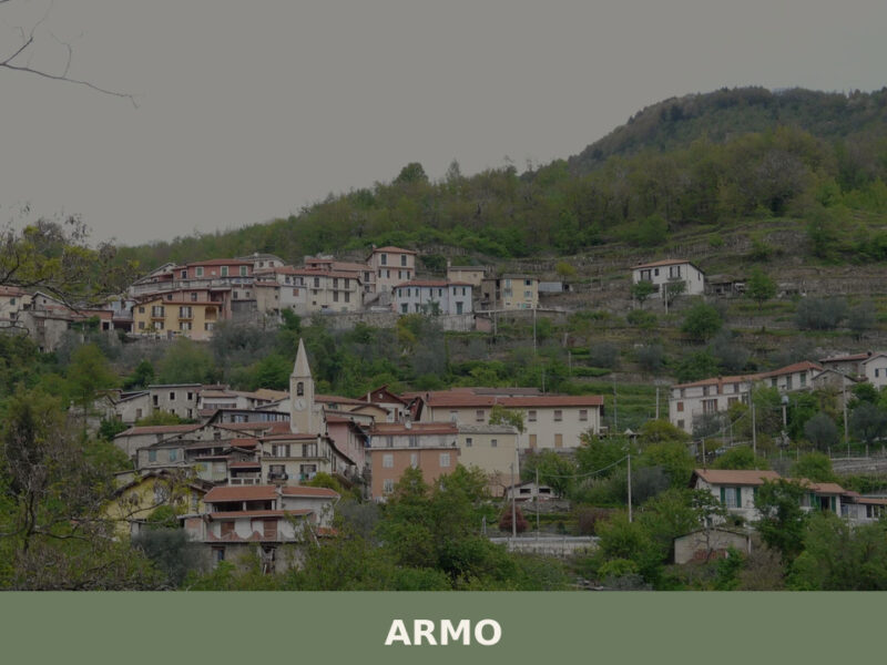
Armo
Armo, a village of 120 inhabitants above the Petrace valley in Calabria, rewards visitors with stone lanes, ancient olive terraces, and Aspromonte trails.
🧀 Italian traditional products


🏡 Know Rondanina better than we do?
If you’re a local or have been there, your knowledge matters: add what’s missing or fix a detail on this page.