


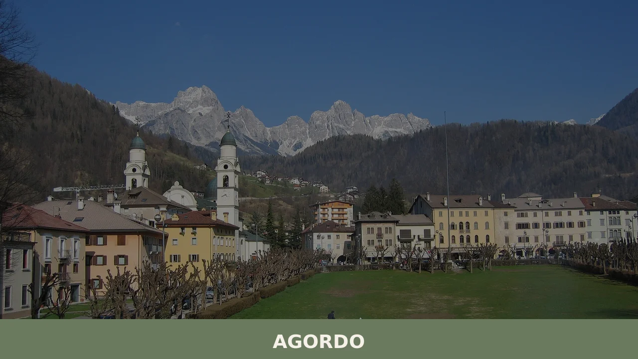
Agordo
Discover what to see in Agordo, Veneto: the Valle Imperina mine, the 1867 Mining School, Ladin culture, and the Cordevole valley in the Belluno Dolomites.
Discover Agordo
In 1867, the Italian state established a mining school in Agordo — an institution that formalized centuries of industrial knowledge accumulated in this valley at the heart of the Agordino district, in the province of Belluno. Knowing what to see in Agordo means understanding a place built not around tourism or agriculture alone, but around the extraction of copper and the technical education that followed it. With around 4,000 inhabitants and positioned along the Cordevole valley, Agordo functions as the main administrative and commercial hub of its surrounding mountain territory, a role it has held for generations.
History of Agordo
Agordo’s most significant historical anchor is the Valle Imperina mine, one of the most productive copper mines in the eastern Alps, which operated for several centuries before its eventual closure. The site draws its importance not just from the raw material extracted but from the scale of organisation it required: housing for workers, transport infrastructure, and management structures that made the Cordevole valley an early example of industrial planning in a mountain environment. The mine’s activity directly shaped the social and physical layout of Agordo as a settlement, drawing labour from surrounding villages and concentrating administrative functions in the town centre.
The founding of the Scuola Mineraria di Agordo in 1867 marked a formal shift from purely extractive industry to technical education. The school was created to train engineers and technicians capable of managing mining operations systematically — a recognition that the region’s economic future depended on expertise as much as on ore deposits. This institution placed Agordo on the map of Italian technical education during the post-Unification period, a time when the new Italian state was actively investing in vocational and scientific training as part of broader industrial development.
Linguistically, Agordo sits within a territory recognised under Italian Law 482 of 1999 as a Ladin-speaking minority zone. The village carries two names in Ladin: Àgort in the Agordino-Venetian Ladin variant and Ègort in the Livinallese Ladin form. This dual designation reflects the localised complexity of Ladin dialects across the Dolomite valleys. The Agordino as a whole is defined by this linguistic and cultural particularity, which distinguishes it from the broader Veneto region and connects it, historically and culturally, to the wider Ladin communities of the Dolomites.
What to see in Agordo: 5 must-visit attractions
Valle Imperina Mining Site
The former copper mine at Valle Imperina, located a short distance from the town centre, operated for centuries and stands today as one of the most significant industrial heritage sites in the Belluno Dolomites. The surviving structures include workers’ quarters, processing facilities, and tunnels — a physical record of organised mountain mining at an industrial scale.
Scuola Mineraria (Mining School Building)
Established in 1867, the mining school building represents the institutional face of Agordo’s industrial identity. The structure anchored technical education in the valley for decades and remains a key reference point in the town’s architectural landscape, a concrete example of how 19th-century Italy invested in scientific infrastructure in peripheral mountain communities.
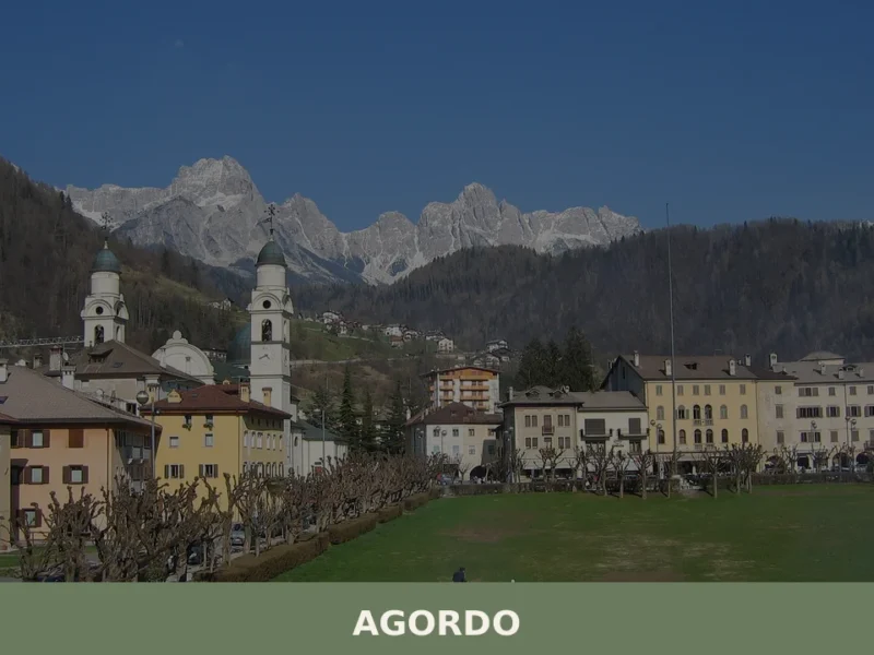
Piazza Libertà
Agordo’s main square serves as the social and civic centre of the town, framed by porticoed buildings characteristic of Venetian mountain architecture. The square hosts the weekly market and community events, and its proportions reflect the town’s role as an administrative hub for the wider Agordino district rather than a purely local settlement.
Parish Church of Santa Maria Nascente
The parish church dedicated to the Nativity of the Virgin Mary is the dominant religious building in Agordo, positioned centrally within the town fabric. Its interior contains works of art and devotional objects accumulated over successive centuries, and the building itself has undergone modifications that reflect the architectural tastes of different periods in the valley’s history.
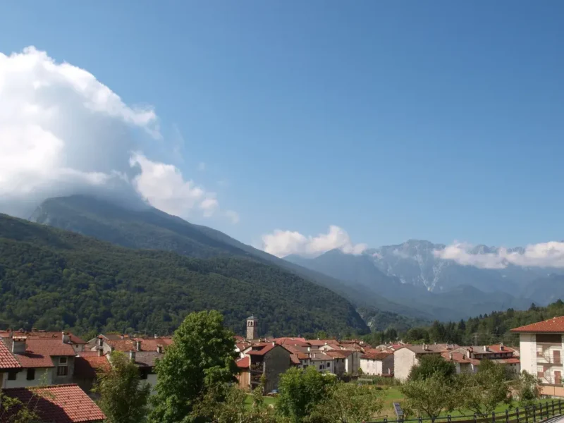
Cordevole Valley Landscape and Walking Routes
The Cordevole river valley surrounding Agordo offers a network of documented walking paths that trace both the natural environment and the historical infrastructure of the mining era. Routes connect the town to the Valle Imperina site and to higher-altitude terrain that forms part of the broader Dolomites park network, providing direct access to the rock formations and woodland that define this section of the eastern Alps.
Local food and typical products
The cuisine of the Agordino reflects the practical traditions of a mountain community that historically combined pastoral farming with industrial labour. Polenta is a constant — served with local cheeses, with game, or with salted meats — and the versions found in this valley tend to be coarser and more robust than the refined preparations found in lowland Veneto. Mushrooms gathered from the surrounding woods, particularly porcini, appear in pasta dishes and as accompaniments to grilled meats during the autumn season. The cheeses produced in the higher pastures of the Belluno Dolomites, some of which carry protected designations, are sold in local shops and at the Agordo market.
The province of Belluno produces Piave DOP, a hard cow’s milk cheese with a controlled designation of origin that is widely available in the Agordo area and represents the most internationally recognised dairy product of this mountain territory. For visitors looking to eat locally, the town’s trattorias and mountain rifugi within easy reach of Agordo tend to offer the most representative versions of valley cooking: honest, ingredient-led, and adjusted to altitude and season. The official municipality website provides updated information on local markets and seasonal events where producers sell directly.
Best time to visit Agordo
The Cordevole valley has two distinct periods of visitor activity. Summer, from late June through August, brings the clearest conditions for walking in the surrounding mountains, with long daylight hours and temperatures in the valley that remain comfortable for both outdoor activity and town-based exploration. The trails connecting Agordo to the Valle Imperina site and the wider Dolomite network are fully accessible and marked. Autumn — September and October — compresses the season into shorter but often sharper days, with the deciduous woodland on the valley slopes turning copper and amber, which has a particular resonance given the town’s mining heritage.
Winter brings snowfall to the higher terrain and reduces access to some mountain routes, but the town itself remains fully operational. Spring can be unsettled at altitude, with trail conditions variable until late May. For visitors primarily interested in the industrial heritage and the town’s civic fabric — the square, the mining school, the church — season matters less, and shoulder-period visits in May or October offer a quieter experience with full access to the built environment. The Ladin cultural calendar, which includes local festivals tied to the recognised minority community, is worth checking with the Infodolomiti tourism portal for specific dates before planning a visit.
How to get to Agordo
Agordo is located in the province of Belluno, in the northeastern corner of Veneto. It is not served by a railway line — the nearest train station is in Belluno, approximately 30 kilometres to the south, from which the town can be reached by regional bus services. Belluno itself is connected by rail to Treviso and Venice. By road, Agordo is reached via the SS203 Agordina, which runs north from the A27 motorway. The A27 connects directly to the Venetian lowlands, and the journey from the motorway exit at Belluno to Agordo takes roughly 30 to 40 minutes depending on conditions.
- Nearest railway station: Belluno (~30 km south, connected by bus)
- Nearest motorway exit: Belluno (A27 Venezia–Belluno motorway)
- Distance from Venice: approximately 110 km, around 1 hour 30 minutes by car
- Nearest international airport: Venice Marco Polo Airport (~120 km), with car hire available on site
- Distance from Treviso Airport: approximately 100 km
Visitors without a car should allow extra time for bus connections from Belluno, as services are tied to regional timetables that may not align with standard travel schedules. Hiring a car at Venice or Treviso airport gives significantly more flexibility for exploring the surrounding valley and reaching trailheads that are not accessible by public transport.
Where to stay in Agordo
Accommodation in Agordo is modest in scale but functional, reflecting the town’s character as a working mountain hub rather than a resort. The town centre offers the most practical base, with hotels and guesthouses within walking distance of the main square, the church, and the bus connections to Belluno. For visitors intending to explore the wider Agordino valley or reach the Valle Imperina site, staying in or immediately adjacent to Agordo is more convenient than basing oneself in the smaller surrounding hamlets, which have less reliable transport links.
Beyond standard hotels, the area has bed and breakfast accommodation and, in the wider province, agriturismo options that place visitors in direct contact with working farms on the valley slopes. Holiday apartments are also available for longer stays, which suits the pace of visitors who want to combine town exploration with several days of walking. As a practical note, availability during the peak summer weeks of July and August fills relatively quickly given the valley’s limited capacity, and booking several weeks in advance for those periods is advisable.
More villages to discover in Veneto
The Veneto region extends from the Dolomite highlands of Belluno all the way to the Adriatic coast and the plains of the Po valley, encompassing a range of landscapes and urban histories that few Italian regions can match. For those moving from the mountains toward the south and west, Verona offers an entirely different scale of engagement — a city whose Roman amphitheatre and medieval urban fabric make it one of the most documented settlements in the region. On a smaller scale, the wine-producing country of the Lessini hills contains places like Cazzano di Tramigna, a compact village embedded in the Soave wine zone, where the agricultural and architectural landscape is shaped by centuries of viticulture.
For visitors interested in the quieter hill country of Veneto, Velo Veronese sits in the Lessini plateau northeast of Verona and offers a marked contrast to both the Dolomite drama of the Belluno province and the urban density of the regional capital. Further south, Rovigo anchors the flat delta territory between the Po and the Adige, a city whose character is defined by water management, agricultural engineering, and a civic heritage distinct from the mountain and hill towns to the north. Together, these places trace the full geographical and cultural range that makes Veneto one of Italy’s most internally varied regions.
Frequently asked questions about Agordo
What is the best time to visit Agordo?
The best time to visit Agordo is from late June to August when the weather is ideal for exploring the surrounding mountains and trails. The feast of San Pietro, the patron saint, is celebrated on June 29th, offering a vibrant cultural experience. Autumn, particularly September and October, is also beautiful with the changing foliage, while winter offers a quieter charm, perfect for those interested in indoor attractions like the mining school.
What to see in Agordo? Main monuments and landmarks
Key landmarks include the Valle Imperina Mining Site, showcasing the region’s industrial heritage, and the Scuola Mineraria, an architectural representation of Agordo's educational history. The Parish Church of Santa Maria Nascente offers religious artworks, with Piazza Libertà serving as the town’s social and civic heart. Check locally for opening hours as they may vary by season.
Who is Agordo suitable for?
Agordo is ideal for history enthusiasts and nature lovers alike. Families can enjoy safe, scenic walking paths, while the area's cultural and industrial sites appeal to history buffs. Hikers will find engaging trails in the nearby Cordevole Valley. Couples seeking a peaceful, picturesque getaway will appreciate the town's charm and local culinary offerings.
Nearby Villages near Agordo

In Veneto More villages to discover
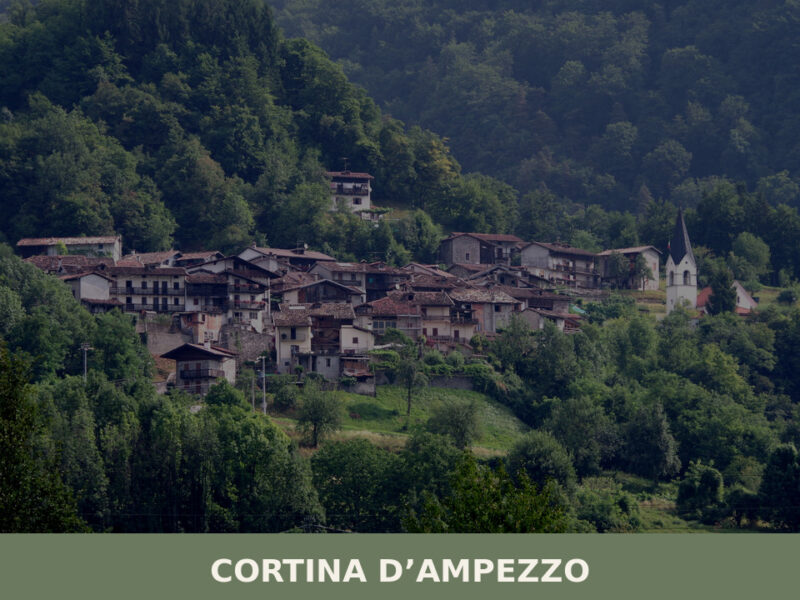
Cortina d’Ampezzo
A complete guide to what to see in Cortina d'Ampezzo — from Dolomite peaks and WWI tunnels to Ladin cuisine and centuries-old communal traditions.

Loreggia
Loreggia holds 7 Venetian villas and the site of Italy's first rural credit cooperative, founded in 1883. A compact village with genuine historical depth.
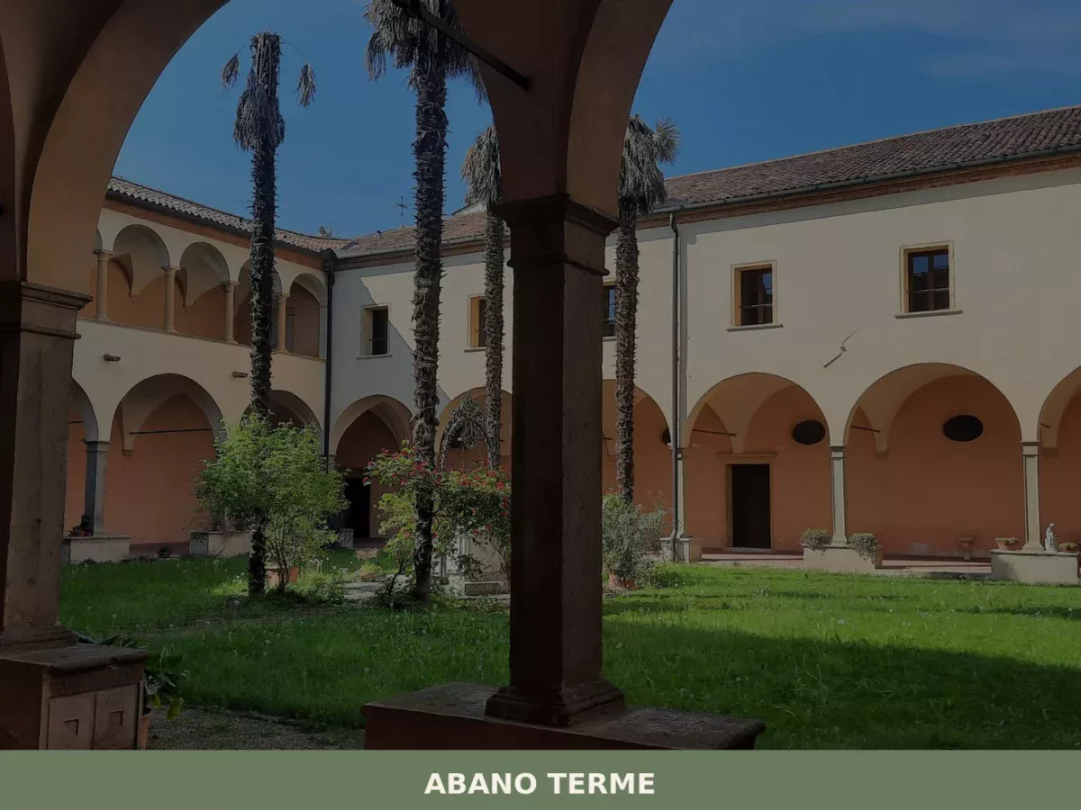
Abano Terme
Discover what to see in Abano Terme: Roman thermal history, the Euganean Hills park, local DOC wines, and practical travel tips for Veneto's top spa town.
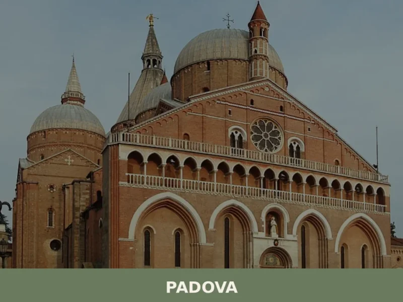
Padova
A city of 208,202 inhabitants where Trojan legend meets Renaissance innovation. UNESCO-listed art cycles and the world's oldest botanical garden define this Veneto capital.
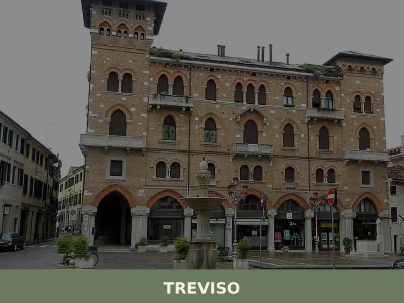
Treviso
A medieval city of 85,000 enclosed by water-fed walls, Treviso shaped Venetian trade and still guards its own identity through art, architecture and civic pride.
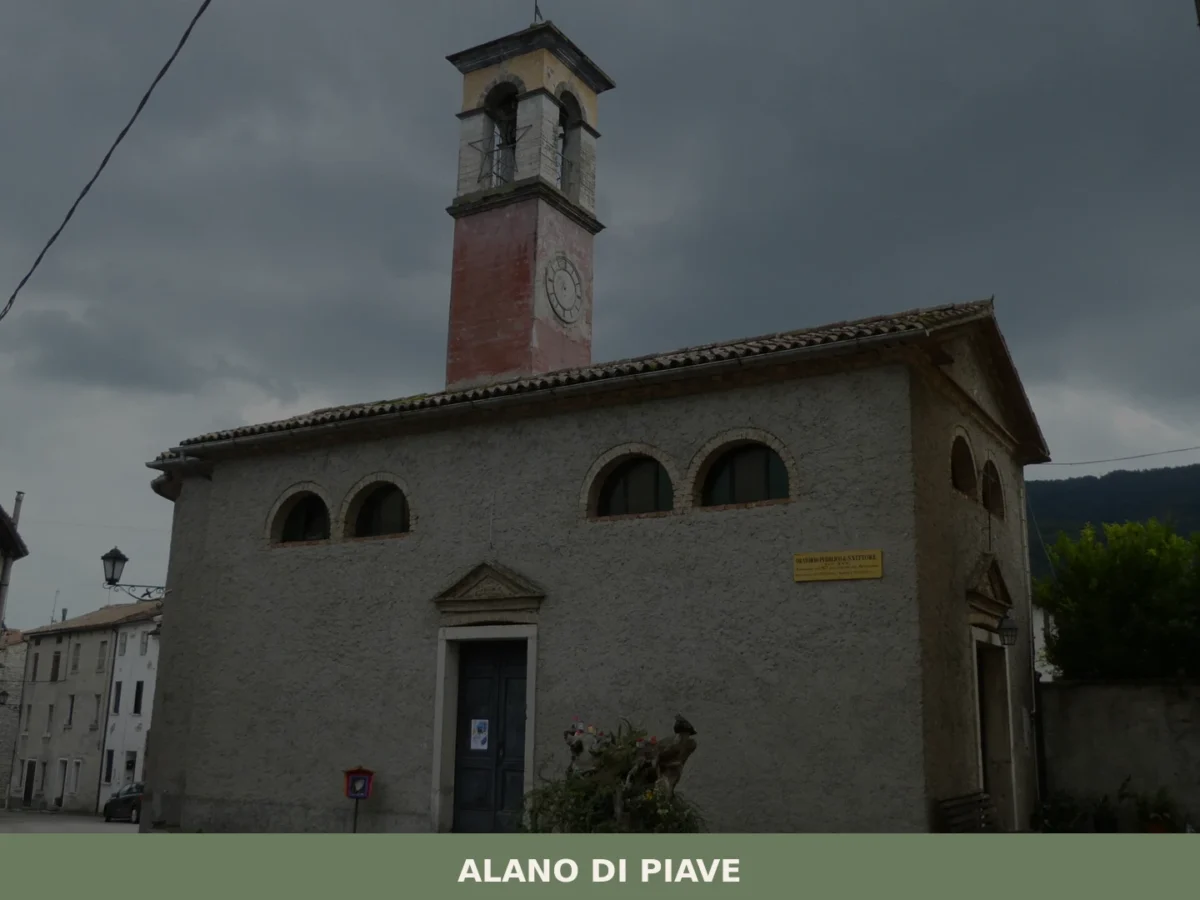
Alano di Piave
What to see in Alano di Piave? Explore the 5 main attractions of this Venetian village, blending history and nature. Your complete guide to not miss a thing. Plan your visit!

Sommacampagna
Sommacampagna offers 3 DOC wine appellations and two landmark Risorgimento battle sites on the Custoza morainic hills, just 12 km from Verona.

Salzano
A lowland comune of 12,770 people where thermal springs, industrial heritage and religious art converge. Home to Pope Pius X and a bell tower that has stood since the 1700s.
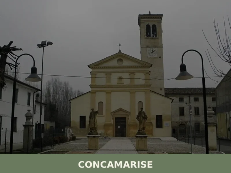
Concamarise
Concamarise, a municipality in Verona province with 1,053 inhabitants, rises only 21 meters above sea level, located in the Bassa Veronese, an area known for its long-standing agricultural tradition and complex hydrographic network. Its very name suggests a connection with water: “Conca” refers to a territorial depression, while “Marise” is likely linked to the marshy […]
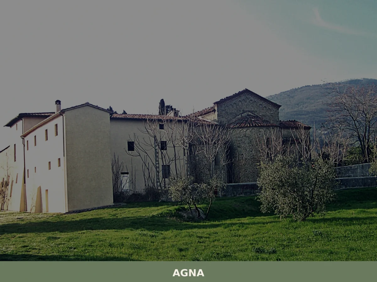
Agna
Discover what to see in Agna, a Padova province village of 3,174 people. History, food, travel tips and the canals of the Venetian plain explained.


🏡 Know Agordo better than we do?
If you’re a local or have been there, your knowledge matters: add what’s missing or fix a detail on this page.