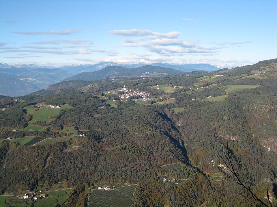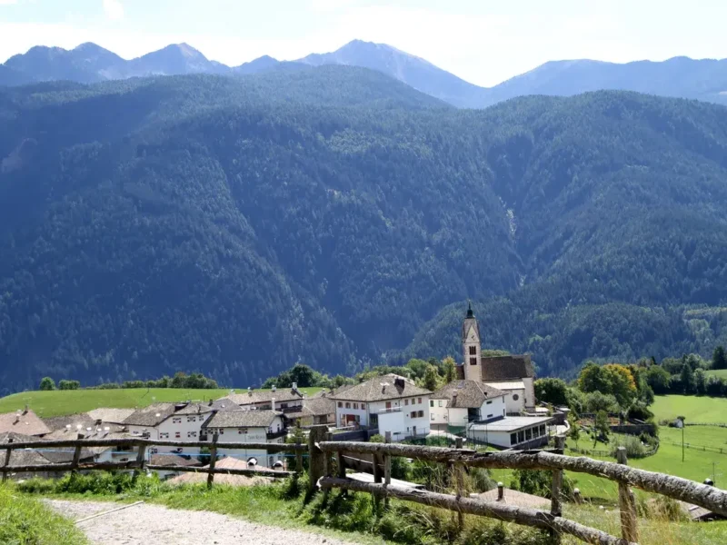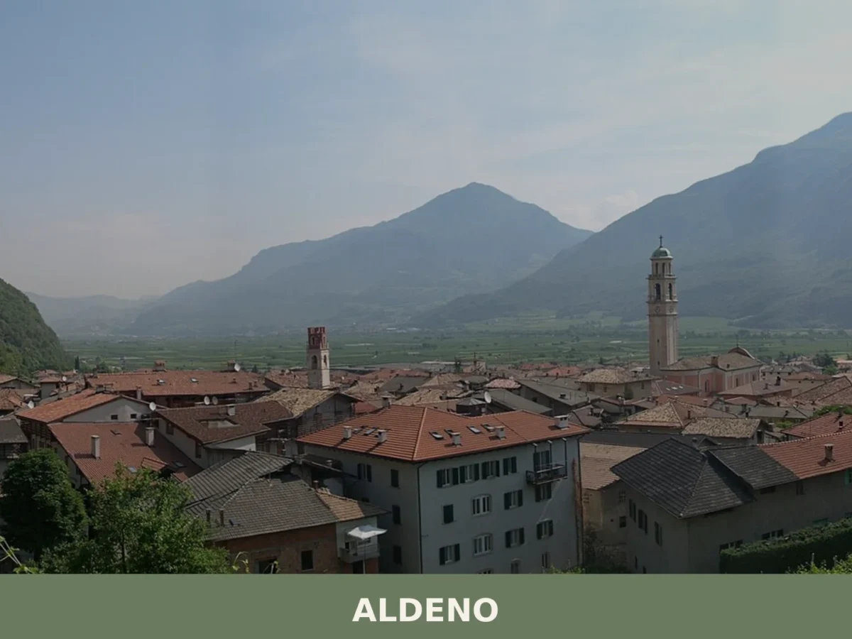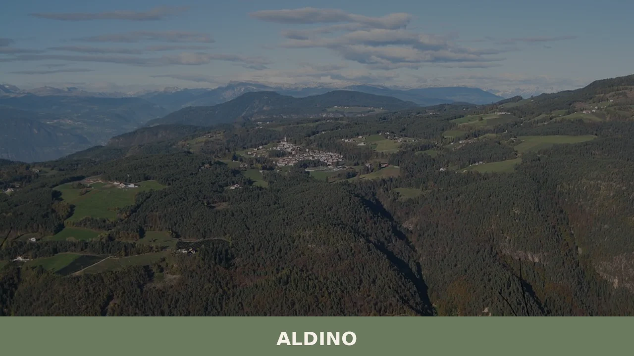
Stone walls rise against the pale sky at 1225 metres, where the rhythm of seasons—snow, melt, harvest, frost—governs the village calendar more than any clock. The upper Bolzano valley holds few pretences: buildings stand compact, practical, aligned to slopes and sun angles that have favoured settlement here for centuries.
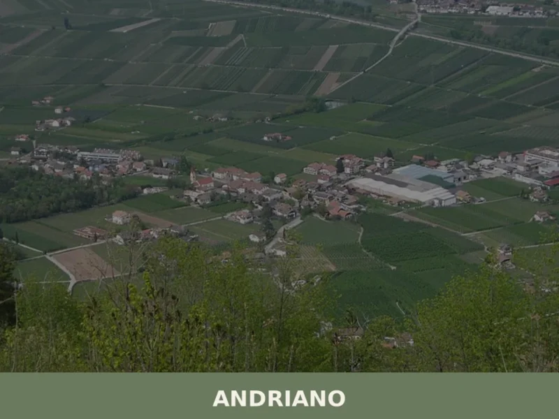
Aldino is a comune of roughly 1607 residents in the province of Bolzano, within Trentino-Alto Adige, positioned at the threshold between the vineyard zones below and the alpine meadows that rise toward neighbouring territories. The village draws visitors interested in mountain topography, rural continuity and the architecture of high stone communities. It sits within a network of accessible comuni—Bronzolo, Ora, Trodena and others—that share the valley’s administrative and cultural fabric.
Settlement and Identity in the Mountain Territory
Aldino occupies a territorial position that reflects centuries of mountain adaptation. At its elevation, agriculture, forestry and pastoral rhythms have shaped the settlement pattern and building typology. The village’s patron saint is San Giacomo (St James), a traditional protector in Alpine communities, though detailed historical narratives of foundation or early medieval development are not comprehensively documented in readily available sources.
The comune’s identity rests on its concrete geography: altitude, proximity to transport routes connecting the valley, and the presence of stone structures that speak to local building traditions rather than grand historical events. Visitors drawn to understand how mountain communities organize themselves around water, slope, seasonal access and resource management will find in Aldino a living example of that logic.
Alpine villages survive not by spectacle but by persistent adaptation to stone, weather and seasonal cycles. Aldino embodies this principle: a small, coherent community where territorial continuity matters more than monumental claims.
Places and Structures of the Village
The Parish Church of San Giacomo
The church dedicated to the village’s patron saint stands as the principal religious and civic focal point. As the spiritual anchor of Aldino’s community, it represents the continuity of Alpine Catholic culture and serves as a gathering place across seasons. The building itself reflects the local stone tradition and the practical architecture that characterizes high-altitude comuni in the Bolzano province.
Stone Architecture and Mountain Building Tradition
The village’s character emerges from the cumulative presence of stone dwellings built according to Alpine principles: thermal mass, roof angles suited to heavy snow, compact footprints for wind resistance and heat retention. These structures, many generations old, demonstrate how mountain communities engineer shelter from locally available materials and experience-tested designs. Walking through the village reveals this practical heritage more clearly than any single monument.
Territorial Access and Footpath Networks
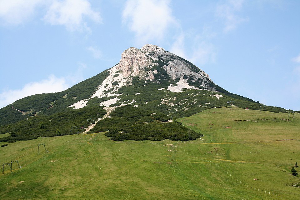
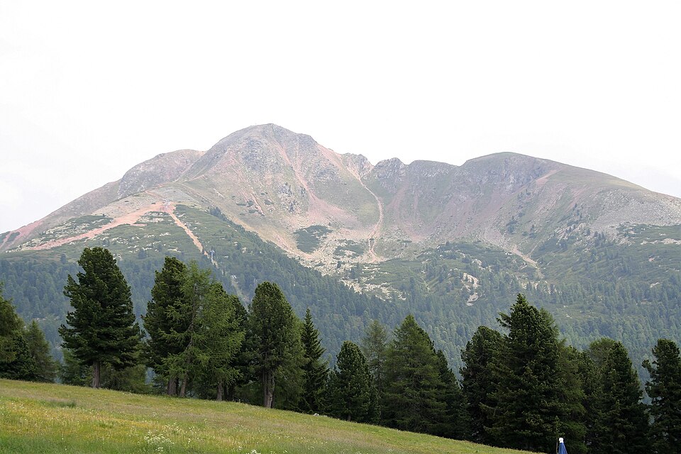
Aldino serves as a node in broader hiking and walking routes that traverse the Bolzano valley and connect to neighbouring settlements. Paths radiating from the village lead toward higher meadows, forest zones and adjacent comuni, making it a logical point of departure for visitors seeking to understand the mountain territory on foot. Seasonal variations—accessibility, snow cover, trail conditions—shape when and how these routes are used.
Agricultural Context and Local Food Culture
The comune’s location and altitude place it within regions traditionally associated with Alpine agriculture: pasture management, hay production, and cultivation patterns adapted to short growing seasons and steep terrain. The valley’s broader reputation for wine production—evident in nearby appellations and neighbouring communities—does not dominate Aldino’s own agricultural identity, which remains oriented toward subsistence, pastoral and forestry traditions.
Food culture in high mountain settlements tends toward preserved and seasonal products, though specific named dishes or products uniquely identified with Aldino are not prominent in standard documentation. Visitors interested in exploring regional Trentino cuisine will find it more extensively represented in larger neighbouring towns and specialized food routes.
Planning Your Visit: Season, Access and Practical Information
Aldino’s mountain position means that seasonal rhythm shapes the visit experience significantly. Summer and early autumn offer the longest daylight hours, clearest weather patterns and full accessibility to footpaths and surrounding territory. Winter transforms the village into an alpine landscape, with snow cover and reduced daylight, though this season carries its own appeal for visitors seeking solitude and the rhythms of mountain settlement during dormancy.
The village is reached by car via regional roads connecting through the Bolzano valley. Public transport links exist through the provincial bus network, though frequency and timing reflect the rural nature of the location. If you arrive by personal transport, parking is available in the village centre; if using public transit, confirm current schedules with the provincial transport authority, as routes and timetables adjust seasonally.
| Departure Point | Distance (approx.) | Travel Time |
|---|---|---|
| Bolzano city centre | 25 km | 30–40 minutes by car |
| Ora (neighbouring comune) | 8 km | 12–15 minutes by car |
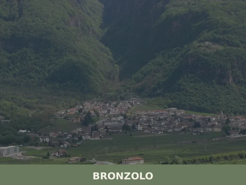
| Bronzolo | 12 km | 18–22 minutes by car |
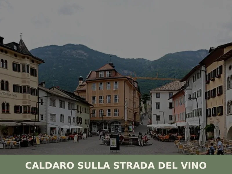
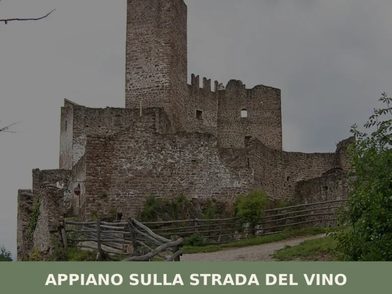
The village itself is compact and navigable on foot. A half-day visit allows for observation of the settlement pattern, the church, and basic orientation to the territory. Longer stays facilitate exploration of surrounding footpaths and territorial connections to neighbouring comuni such as Appiano sulla strada del vino to the southwest. Spring through autumn is the season for extended walking and territorial exploration; winter suits visitors seeking quieter, more introspective experiences in a mountain setting. For official information about current conditions, facilities and local events, consult the official municipality website.