


Antey-Saint-André
Discover what to see in Antey-Saint-Andru00e9: Alpine hamlets, local food, hiking trails and practical travel tips for this Valtournenche village in Valle d’Aosta.
Discover Antey-Saint-André
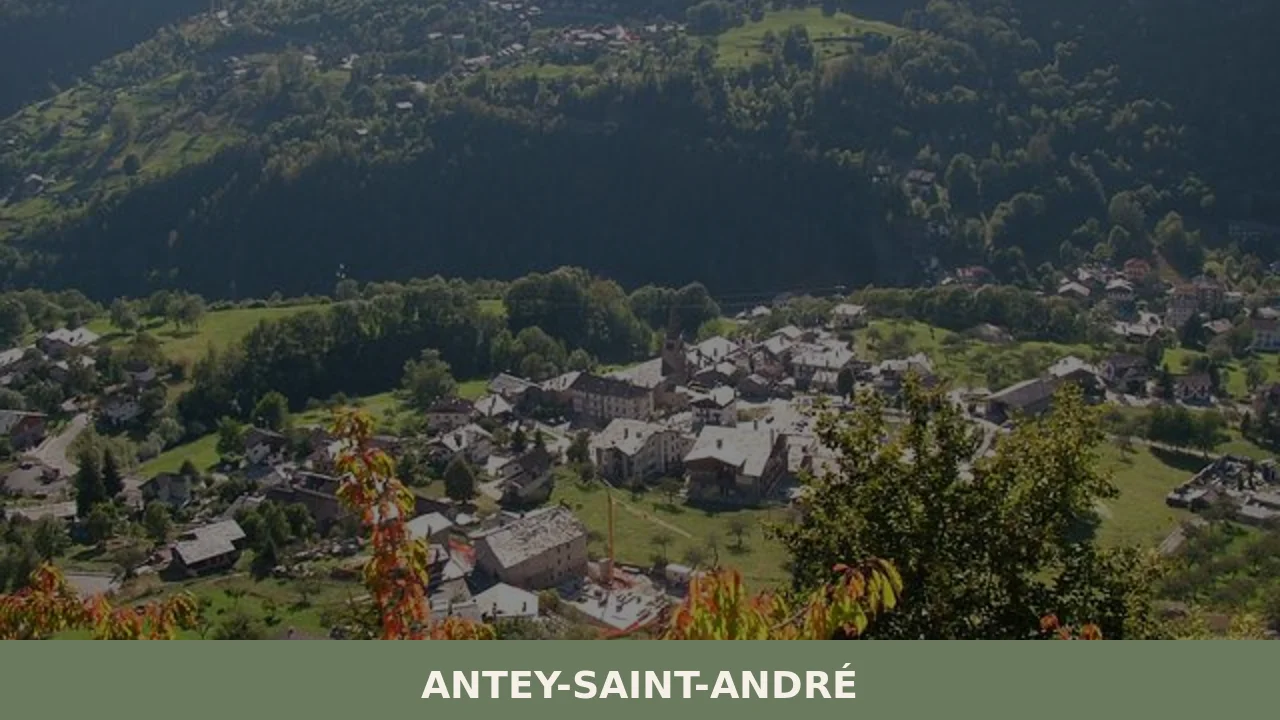
Antey-Saint-André sits at approximately 1,074 metres above sea level in the lower Valtournenche, a lateral valley branching off the main Valle d’Aosta corridor, and counts around 550 residents spread across several hamlets. For anyone asking what to see in Antey-Saint-André, the answer begins with understanding the village’s position: it functions as a natural gateway to the higher reaches of the Valtournenche, the valley that climbs toward Cervinia and the Matterhorn massif, while retaining a distinctly local character rooted in Alpine pastoral life rather than resort culture.
History of Antey-Saint-André
The village’s double-barrelled name encodes two distinct layers of identity. “Antey” derives from the Franco-Provençal patois name Antèy, the form still used in Valdostan dialect, which likely traces to a pre-Latin toponym connected to the ancient pastoral and transhumance routes that crossed this section of the valley. “Saint-André” refers to the dedication of the parish church to Saint Andrew, a dedication that was formally incorporated into the official municipal name when the commune was administratively constituted under the unified Italian state. This linguistic duality — Romance patois alongside ecclesiastical Latin — is characteristic of Valle d’Aosta’s layered cultural heritage, a region where French, Italian, and local Valdostan idioms have coexisted for centuries.
The Valtournenche, within which Antey-Saint-André stands, fell under the jurisdiction of the House of Savoy as part of its broader control over the Alpine passes and lateral valleys of the Aosta region. Throughout the medieval and early modern periods, the valley’s economy depended on a combination of pastoralism, small-scale agriculture on terraced slopes, and the transit trade generated by travellers and traders moving through the mountain corridors. The commune of Antey-Saint-André itself is classified administratively as a comune sparso — a dispersed municipality — meaning that the administrative functions are distributed across multiple hamlets rather than concentrated in a single nucleated centre, a configuration that reflects the historical settlement pattern of Alpine communities that organised around grazing territories and water sources rather than defensive or market nodes.
In the twentieth century, the Valtournenche’s transformation into a ski and mountain tourism destination — driven primarily by the development of Cervinia higher up the valley — brought infrastructure investment and economic diversification to the lower reaches of the valley, including Antey-Saint-André. The village became part of the broader network of services and accommodation supporting the Cervino ski area, while maintaining its own distinct agricultural and pastoral character. The construction of the main valley road and the improvements to transport links with Aosta, the regional capital roughly 30 kilometres to the west, consolidated the village’s role as a residential and logistical hub within a valley otherwise dominated by ski resort development at higher elevations.
What to see in Antey-Saint-André: 5 must-visit attractions
Parish Church of Sant’Andrea (Saint Andrew)
The parish church dedicated to Saint Andrew gives the second half of the village’s name its meaning. The building, which anchors one of the principal hamlets, contains the kind of interior decoration — votive paintings, carved wooden furnishings, stone baptismal elements — typical of Alpine ecclesiastical architecture built and modified across the seventeenth and eighteenth centuries in the Aosta valley.
The Dispersed Hamlets and Their Rural Architecture
As a comune sparso, Antey-Saint-André is composed of several distinct hamlets distributed across the valley slope. Walking between them exposes the logic of traditional Valdostan construction: stone-walled rascard granaries raised on mushroom-shaped staddle stones to deter rodents, wood-balconied residences, and dry-stone retaining walls that terrace the hillside into workable agricultural strips.
The Valtournenche Valley Floor and River Marmore
The Marmore torrent, which carves the floor of the Valtournenche, is observable from the village’s lower hamlets. The river’s course and the lateral moraines flanking the valley record the glacial history of the Matterhorn massif. The valley floor at this elevation supports riparian woodland and provides walking routes that follow the watercourse northward toward higher alpine terrain.
Terraced Vineyard and Meadow Landscapes
The south-facing slopes around Antey-Saint-André retain traces of the terraced vineyard cultivation that historically supplemented pastoral income across the lower Valle d’Aosta. At this altitude — just over 1,000 metres — vine cultivation reached its practical upper limit, and the remaining terrace walls, some now converted to hay meadows, document several centuries of agricultural land management.
Mountain Trails Toward the Valtournenche Interior
Antey-Saint-André serves as a staging point for marked hiking routes entering the Valtournenche. Several trails depart from the village’s hamlets and connect to the network managed within the Valle d’Aosta regional trail system, leading toward the higher pastures and eventually toward the Cervinia basin and the Matterhorn skyline visible from elevations above the tree line.
Local food and typical products
The food culture of Antey-Saint-André belongs to the broader Valle d’Aosta tradition, which is shaped by altitude, cattle farming, and centuries of reliance on preserved and high-calorie foodstuffs. Fontina DOP — the valley’s most important protected-designation cheese, produced from the milk of Valdostan cattle breeds grazed on Alpine pastures — is the ingredient most likely to appear in every form, from raw slices served with dark bread to its role as the base of fonduta, the Valdostan melted-cheese preparation. Lard d’Arnad DOP, a cured fatback from the lower valley, and Jambon de Bosses DOP, a mountain-cured ham, represent the valley’s charcuterie tradition. At the table, seuppa valpellinentze — a layered bread, cabbage and Fontina soup baked in the oven — and polenta served alongside braised meat appear regularly on menus in the valley’s restaurants and agriturismo properties.
Visitors seeking locally sourced products should look for farms and cooperatives within the Valtournenche that produce Fontina under the consortium’s controlled designation. The regional agricultural framework supports small producers throughout the valley. Dining options in and around Antey-Saint-André tend toward mountain trattorie and family-run establishments that reflect the seasonal availability of local ingredients, with menus changing between the summer grazing season — when fresh dairy products are most abundant — and the winter months, when cured and preserved foods dominate.
Best time to visit Antey-Saint-André
The village operates on two distinct seasonal rhythms. Summer, from June through September, brings the warmest and most accessible conditions for walking the valley trails, with temperatures at 1,074 metres typically ranging between 15°C and 25°C during the day. The Alpine meadows above the village are at their most productive in July and August, when the transhumance cattle grazing on high pastures gives the landscape its most characteristic appearance. September offers cooler air and the start of the hay-cutting season on the lower terraces, reducing the density of summer visitors who pass through on their way to Cervinia.
Winter, from December through March, sees the valley activated by skiing traffic heading toward the Cervino ski area at Cervinia. Antey-Saint-André itself sits below the main ski infrastructure but benefits from the transit movement through the valley. Spring — April and May — is the shoulder season most often overlooked: snow retreats from the lower slopes, the Marmore torrent runs at its highest volume from snowmelt, and the terraced meadows begin their growing cycle. For those interested in the village’s agricultural and architectural fabric rather than skiing or high-altitude hiking, late spring and early autumn offer the clearest observation conditions with the fewest competing visitors.
How to get to Antey-Saint-André
Antey-Saint-André is reached via the Valtournenche road (SR46), which branches off the main Valle d’Aosta artery at Châtillon. The practical access points are as follows:
- By car from Aosta: Approximately 30 kilometres east along the A5 motorway toward Châtillon, then north on the SR46 into the Valtournenche. Travel time from Aosta is roughly 35–45 minutes depending on valley traffic.
- Motorway exit: Châtillon-Saint-Vincent on the A5/E25 Turin–Mont Blanc motorway.
- By train: The nearest railway station is Châtillon-Saint-Vincent on the Torino–Aosta line. From the station, the village is accessible by local bus service or taxi up the SR46.
- From Turin: Approximately 110 kilometres via the A5 motorway; allow 1 hour 30 minutes under normal conditions.
- Nearest airport: Turin Airport (Torino Caselle, TRN) is the most practical international gateway, roughly 120 kilometres from the village. Geneva Airport (GVA) is approximately 160 kilometres via the Mont Blanc tunnel and A5.
Local bus services connecting Châtillon with the Valtournenche communities, including Antey-Saint-André, are operated under the Valle d’Aosta regional transport network. Schedules vary by season and are more frequent during the ski season. Visitors without a car will find it easier to navigate the valley — and particularly the dispersed hamlets — with their own transport.
Where to stay in Antey-Saint-André
Accommodation in Antey-Saint-André is distributed across the village’s hamlets rather than concentrated in a single centre, reflecting the dispersed settlement structure of the municipality. The options available range from small hotels and family-run guesthouses to holiday apartments and agriturismo properties — farm-based accommodation that often includes meals prepared with local produce. Given the village’s position in the lower Valtournenche, staying here offers a quieter and generally less expensive alternative to accommodation at Cervinia or Valtournenche village higher up the valley, while keeping the ski area within reasonable driving distance.
For visitors coming in summer for walking and valley exploration, staying in one of the hamlets closer to the trail access points on the valley slopes is practical. For winter ski visits, proximity to the SR46 road is the most relevant criterion, as morning and evening traffic on the valley road can be heavy during peak ski season. Booking in advance is advisable for both the Christmas–New Year period and the July–August peak, when valley accommodation fills quickly. The Valle d’Aosta official tourism portal maintains a searchable database of registered accommodation providers in the Valtournenche area.
More villages to discover in Valle d’Aosta
The Valle d’Aosta is a compact region whose main valley and lateral corridors contain a series of distinct communities, each with its own relationship to the mountains above it. Aosta, the regional capital at the confluence of the Dora Baltea and Buthier rivers, is the logical starting point for any exploration of the valley system. Its Roman infrastructure — the triumphal arch of Augustus, the theatre, the porta praetoria — remains substantially intact and provides a material baseline for understanding two thousand years of settlement in these mountains. The city also functions as the main commercial and transport hub for reaching villages like Antey-Saint-André along the lateral valleys.
Beyond the capital, the Valle d’Aosta’s lateral valleys each trace a different Alpine character. The Valtournenche, to which Antey-Saint-André belongs, is defined by the north–south orientation that channels views toward the Matterhorn and historically directed trade and movement between the lower valley communities and the high Alpine passes. Travelling between the regional capital and the lateral valleys — using Aosta as a base — allows visitors to register the contrast between the Roman urban fabric of the valley floor and the dispersed, pastoral settlement patterns that characterise communities like Antey-Saint-André at higher elevations.
—
📷 Photo Gallery — Antey-Saint-André
Getting there
Località Capoluogo, 11020 Antey-Saint-André
Nearby Villages near Antey-Saint-André
In Aosta Valley More villages to discover
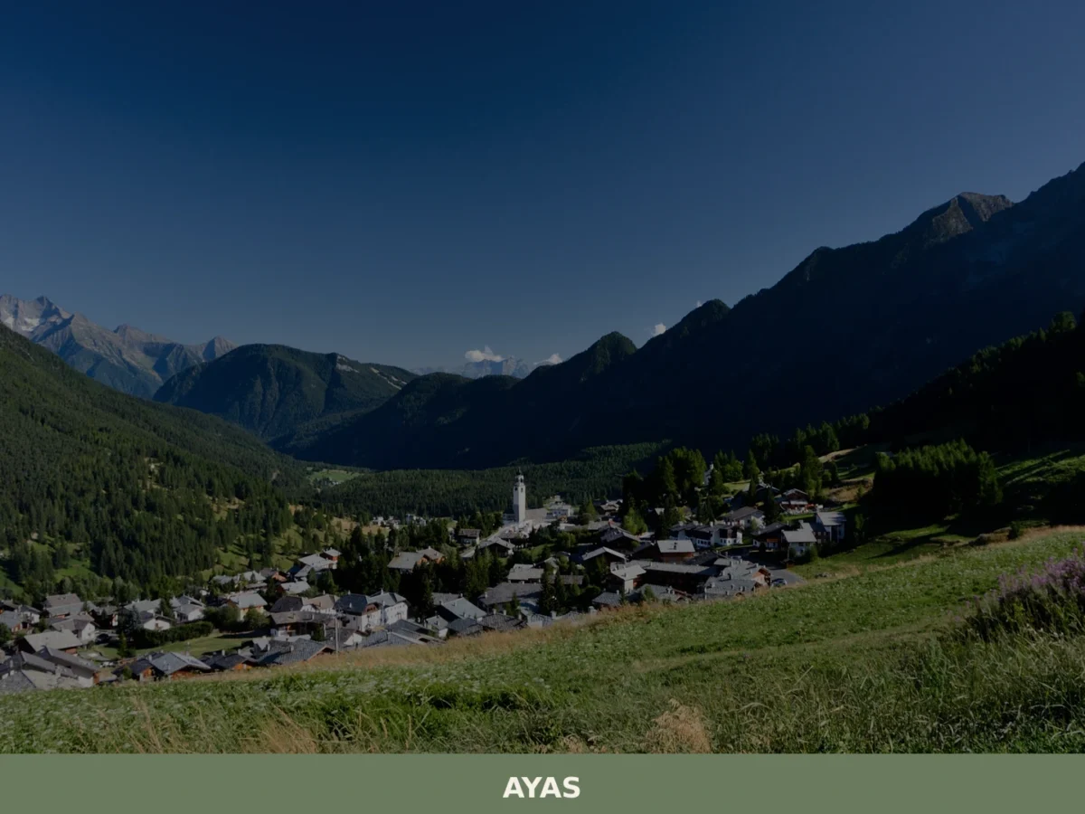
Ayas
What to see in Ayas, Valle d'Aosta, Italy: explore alpine villages at 1,600 m, medieval chapels and local cuisine. Discover top attractions and how to get there.
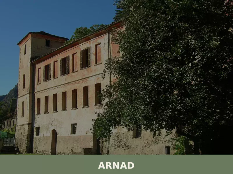
Arnad
Discover what to see in Arnad: medieval Château Vallaise, Lard d'Arnad DOP, historic irrigation channels and terraced vineyards in Italy's Aosta Valley.
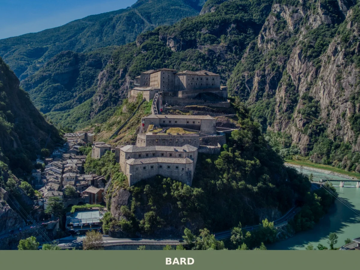
Bard
What to see in Bard, Valle d'Aosta, Italy: explore the Fort, medieval streets and local food. Bard sits at 400 m. Discover top attractions and how to get there.
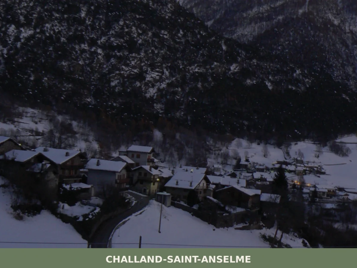
Challand-Saint-Anselme
What to see in Challand-Saint-Anselme, Italy? Discover its 1036 m (3,399 ft) altitude, ancient mills, and the Church of Saint-Anselme. Explore this mountain village.
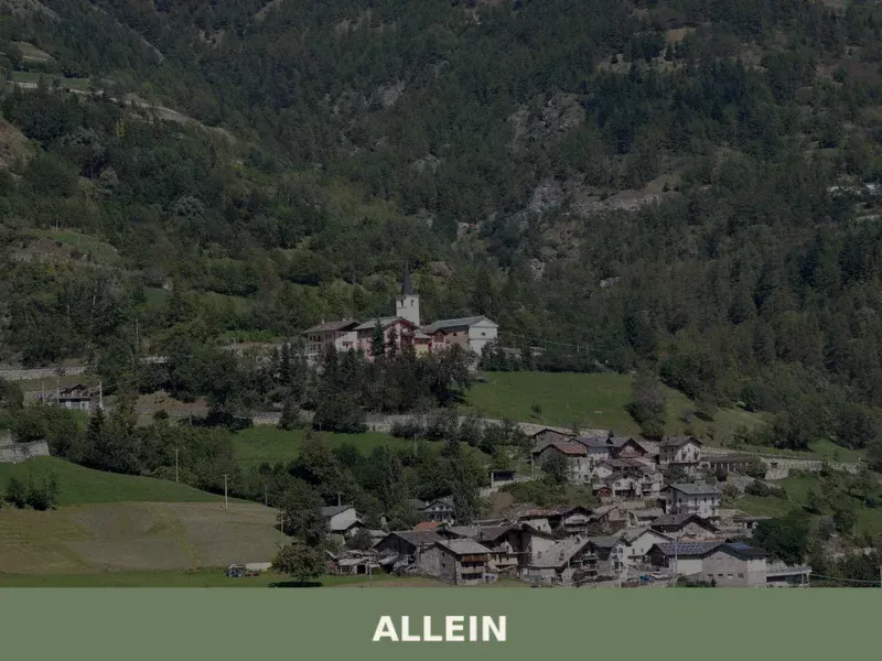
Allein
Discover what to see in Allein, a 198-resident comune sparso in the Gran San Bernardo Valley, Valle d'Aosta. History, food, and travel tips.
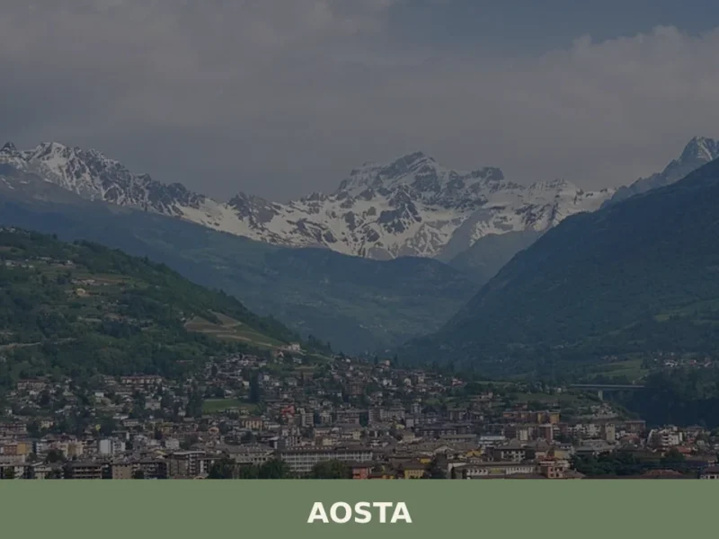
Aosta
What to see in Aosta: Roman city at 583 m in the Aosta Valley. Arch of Augustus, Roman theatre, Fontina PDO and Fiera di Sant'Orso. Plan your visit now.
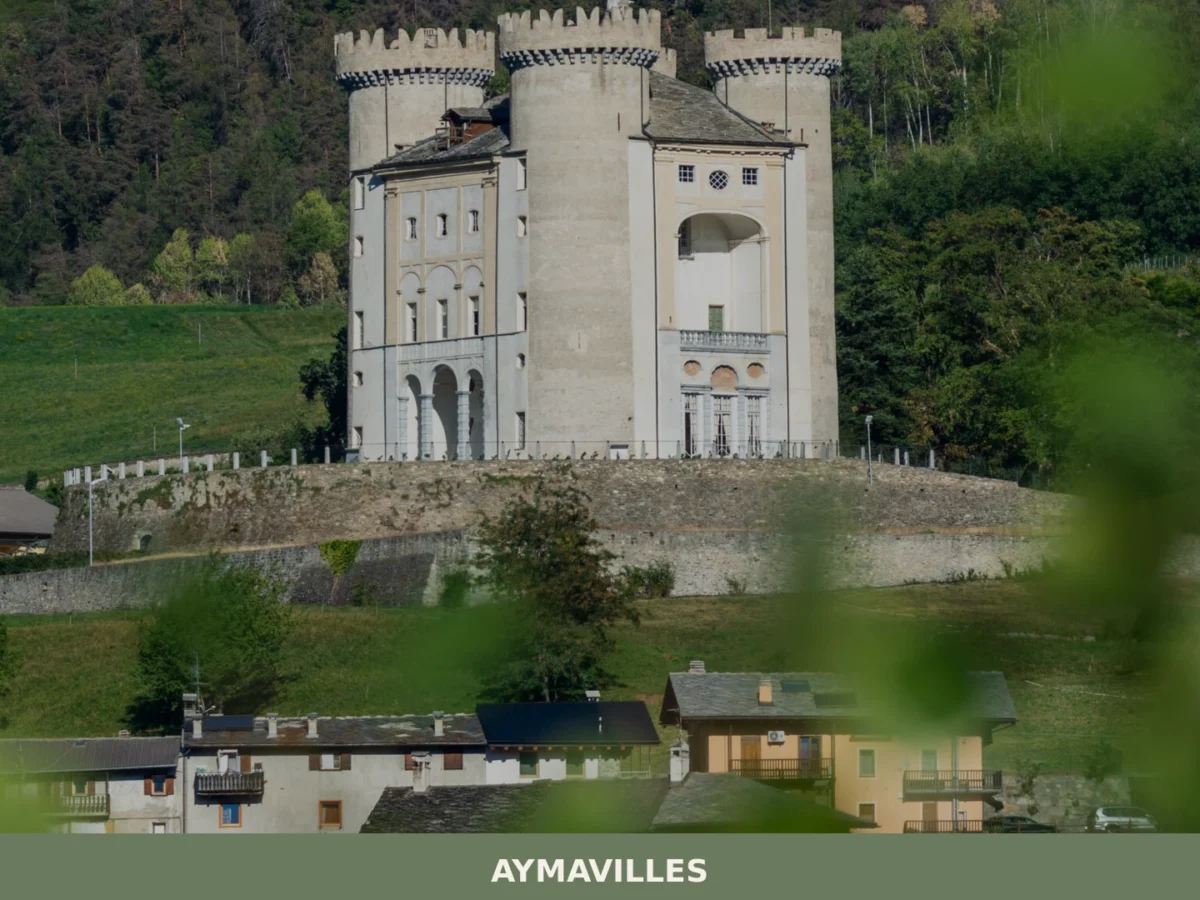
Aymavilles
What to see in Aymavilles, Italy: explore the Roman Pont d'Aël bridge over a 66 m gorge and Alpine trails. Discover top attractions in Valle d'Aosta.

Avise
Discover what to see in Avise: a medieval castle, Romanesque church, alpine vernacular architecture and valley views in the upper Valle d'Aosta at 996 metres.
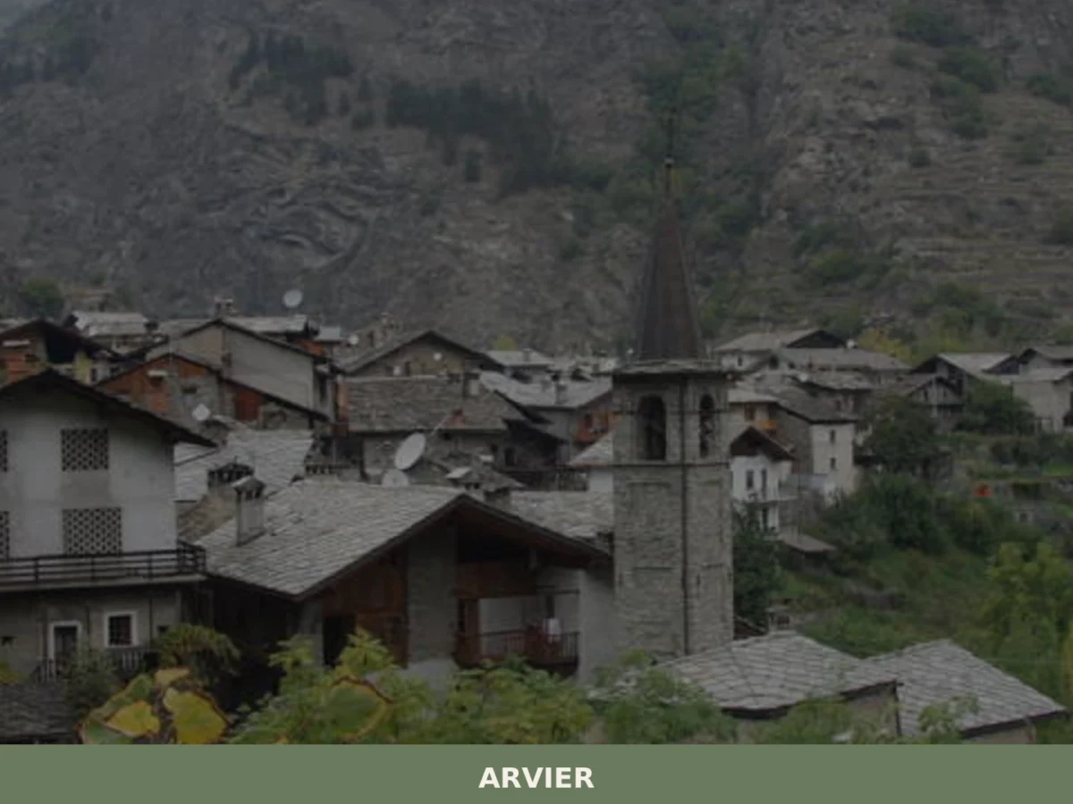
Arvier
Discover what to see in Arvier, Valle d'Aosta: medieval borough, feudal tower, Enfer d'Arvier vineyards, local food and practical travel tips.
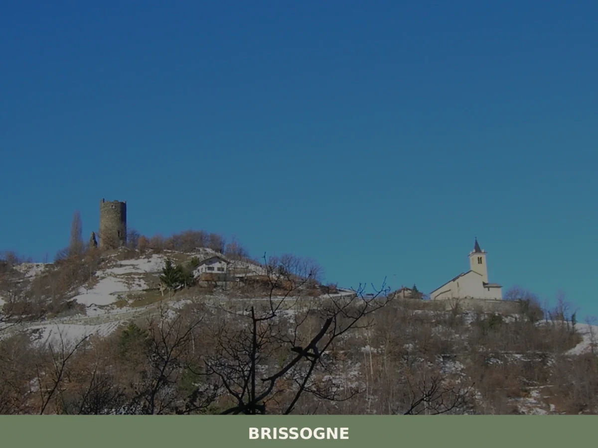
Brissogne
What to see in Brissogne? Discover the 5 unmissable attractions of this village in Aosta Valley. From the church to the castle, plan your visit here!


🏡 Know Antey-Saint-André better than we do?
If you’re a local or have been there, your knowledge matters: add what’s missing or fix a detail on this page.